Cheshire Ring Canal Holiday
1-8 June 2013
Saturday
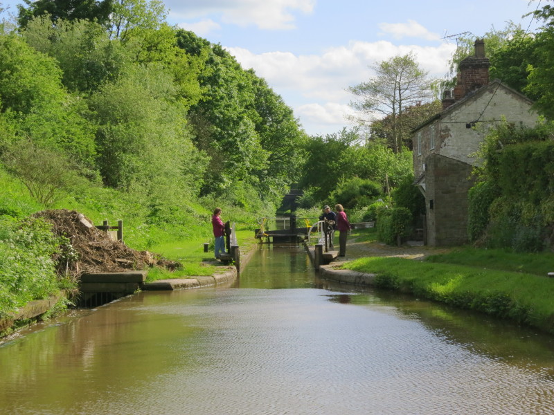
After setting off from the Heritage Narrowboats base and heading south along the
Macclesfield Canal we have reached the first lock, Hall Green Lock, a stop lock
where originally the Macclesfield Canal met the Hall Green Branch of the Trent &
Mersey Canal, though nowadays most people consider the Macc to continue through
to the main line of the T&M at Hardings Wood Junction. Mary, Derek and Merry
look after working the lock.
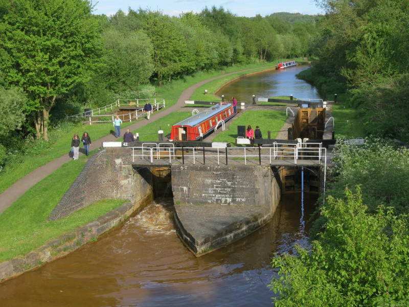
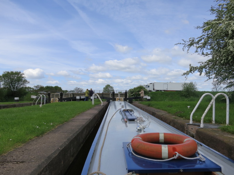
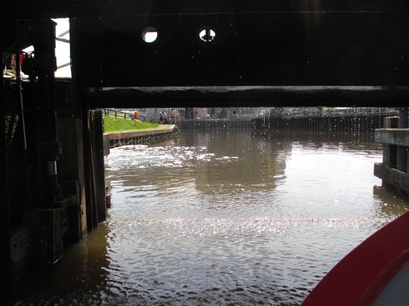
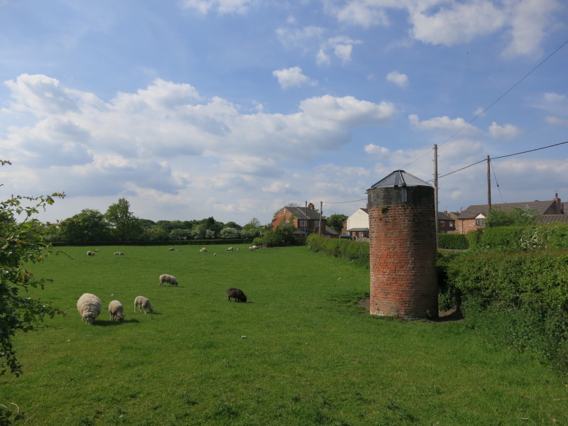
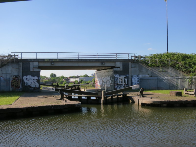
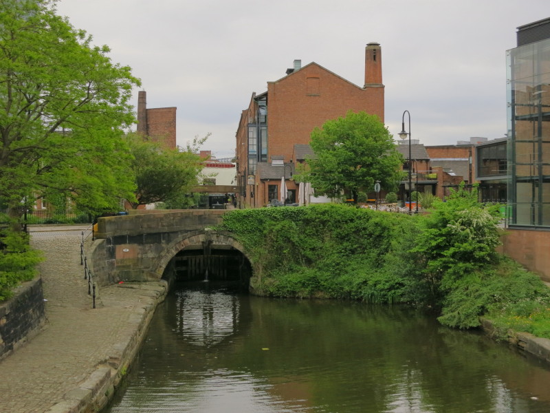
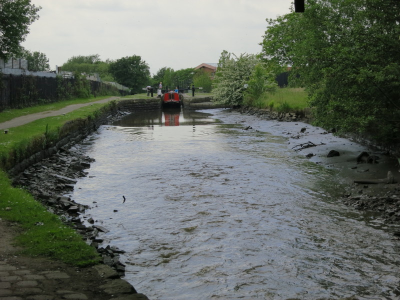
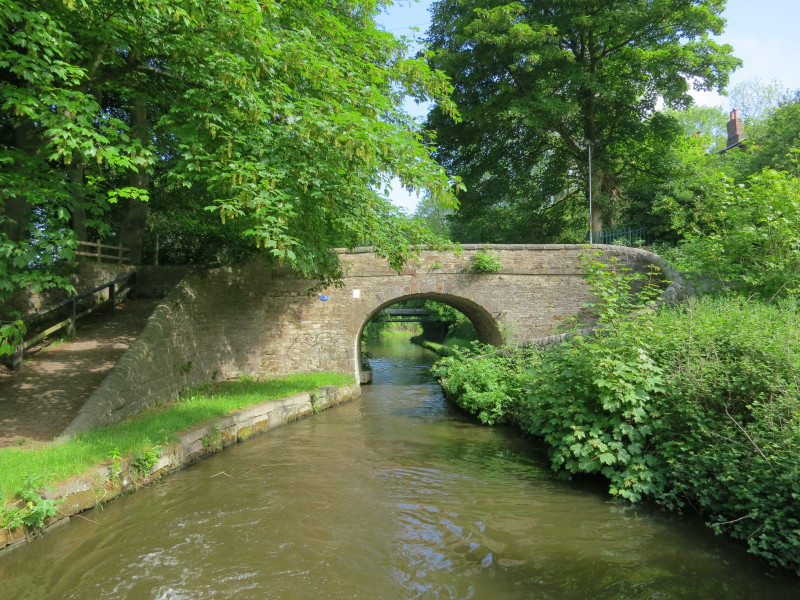
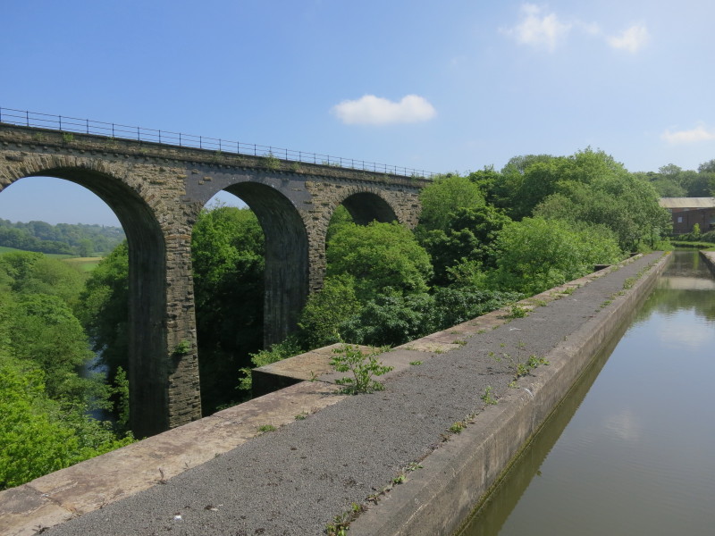
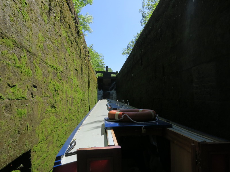
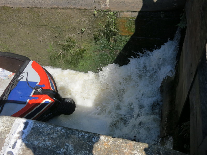
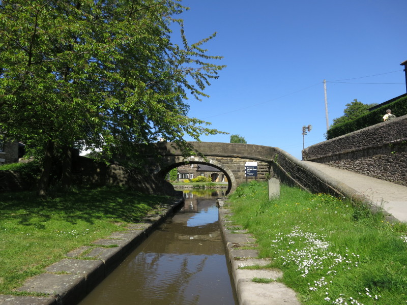
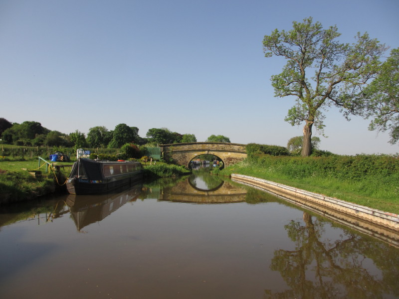
We have made our way onto the mainline of the Trent and Mersey and are now
passing through lock 42 preparatory to going under the aqueduct from where this
photo is taken.
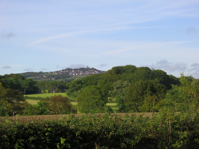
Looking back to the village of Mow Cop and the castle (a folly from 1754) on the
summit of the hill
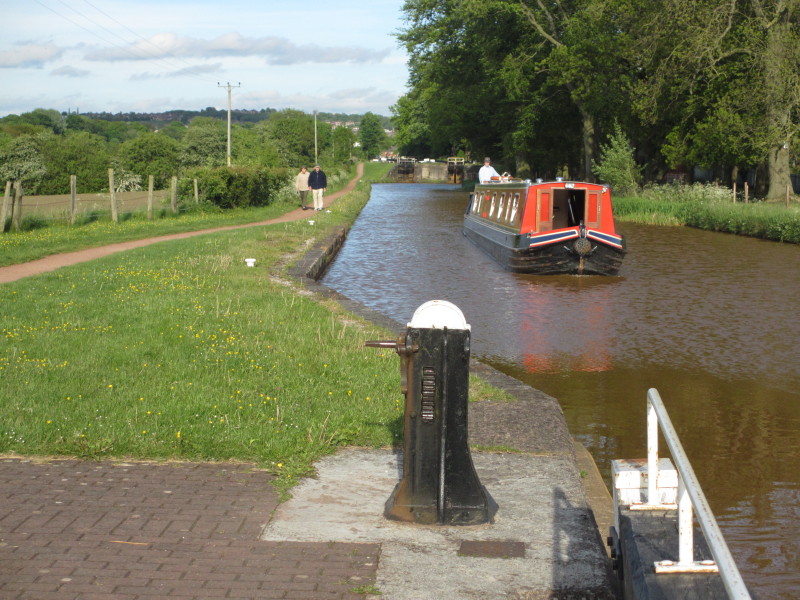
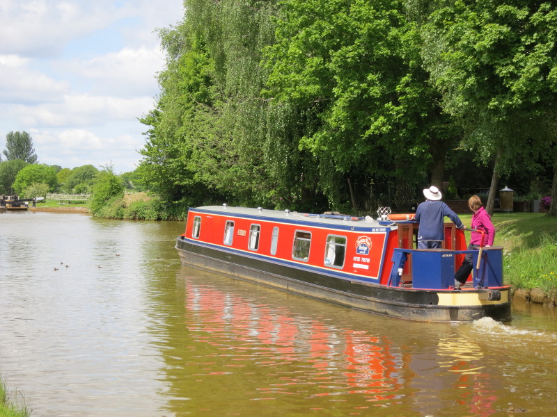
Stephen is now at the tiller as we continue our progress down the Red Bull
Locks, with Mary and Derek on the towpath
Sunday
Next morning our progress continues down the long strung out flight of locks
known variously as the Cheshire Locks or Heartbreak Hill. Here we have reached
the Hassall Green locks and prepare to go under the M6.
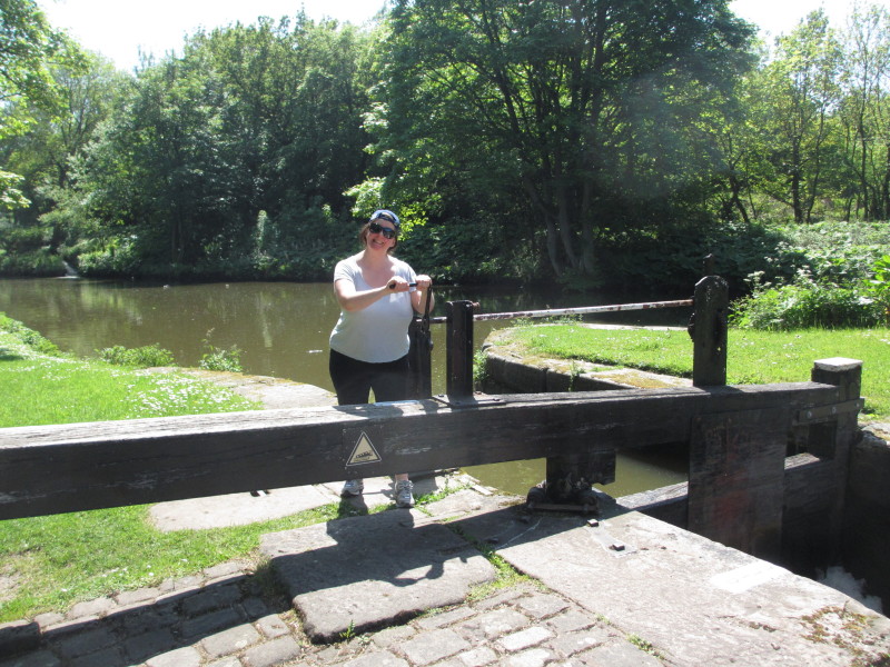
Derek at the tiller with Mary looking ahead to the next lock
Mary and Derek hard at work raising the bottom gate paddles
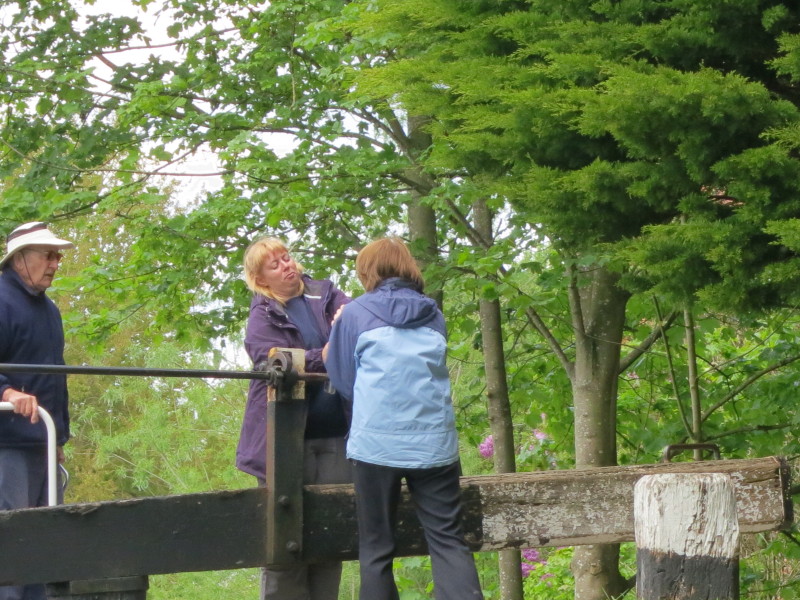
Lucy and Mary decide it is a two-person job on this occasion
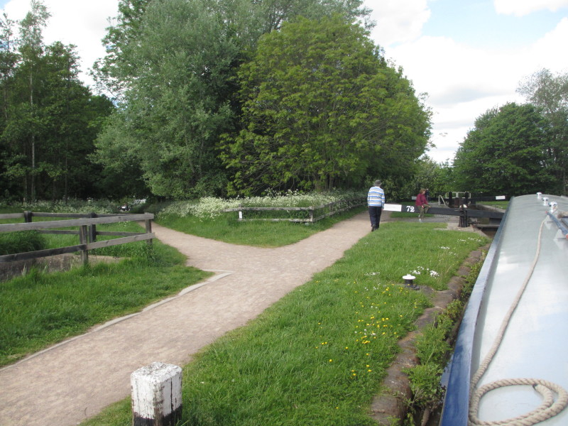
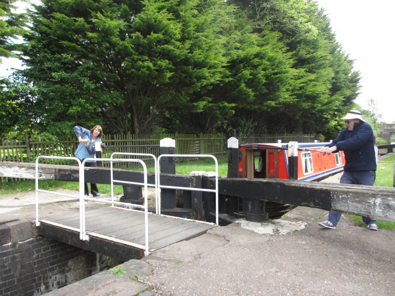
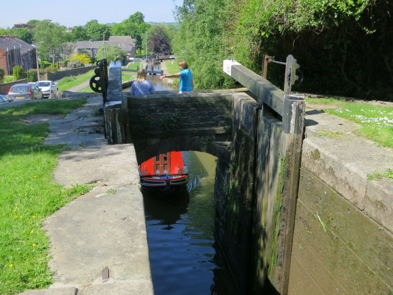
Lock 72 in Middlewich is followed by a sharp left-hand turn and then by lock 73,
which can just be seen here down the path to the left.
We stopped near Big Lock and ate in the eponymous pub that evening.
Monday
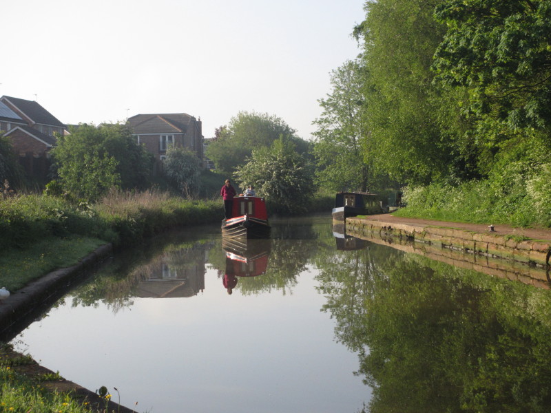
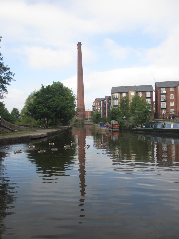
Early next morning we approach Big Lock in Middlewich
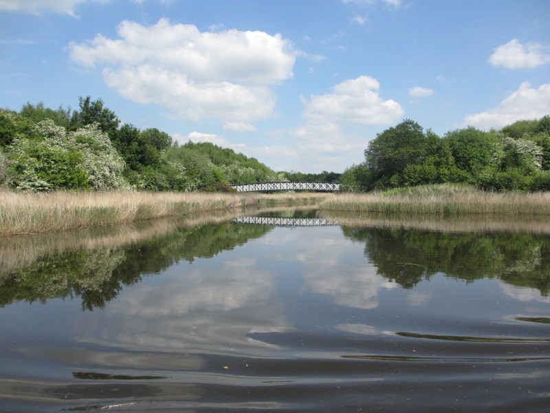
One of a number of 'flashes' on this part of the canal, where the canal has
flooded neighbouring fields
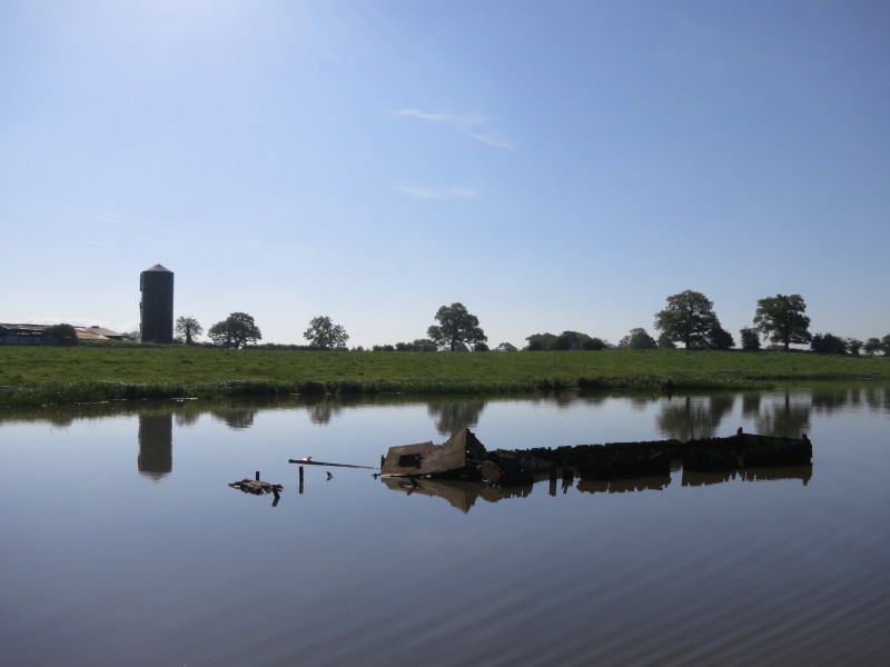
Some of the flashes were used for scuttling unwanted boats, some of which have
since been refloated and restored
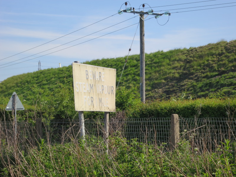
"Beware steam vapour for 1 mile" warns the sign as we approach Wincham salt
works - actually warning the road traffic rather than boaters
Fortunately there doesn't appear to be much steam today
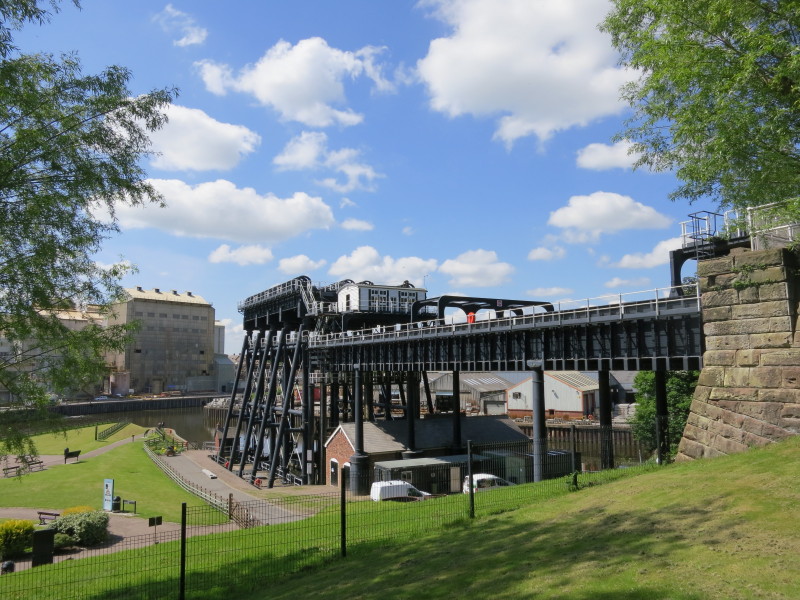
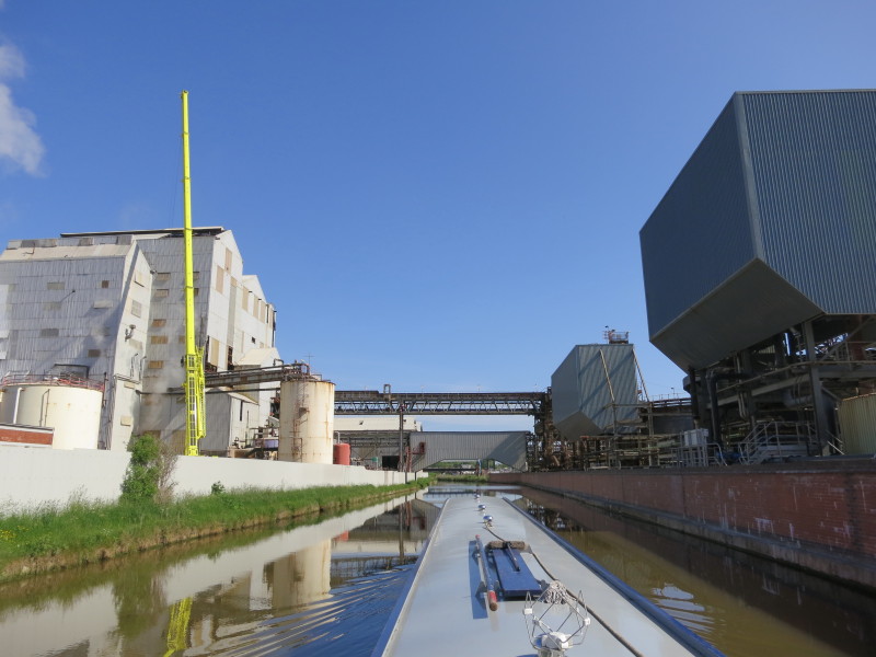
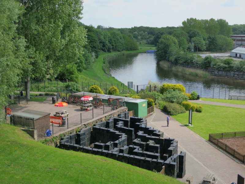
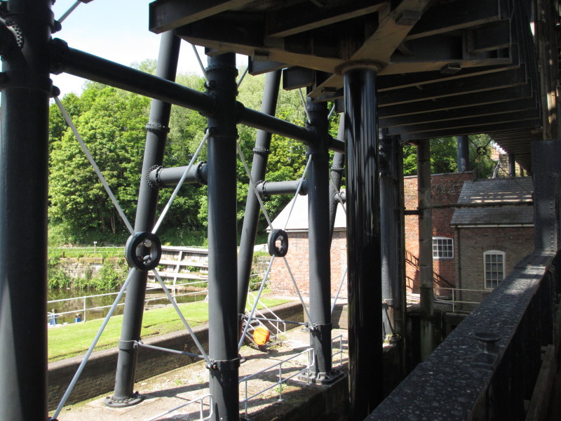
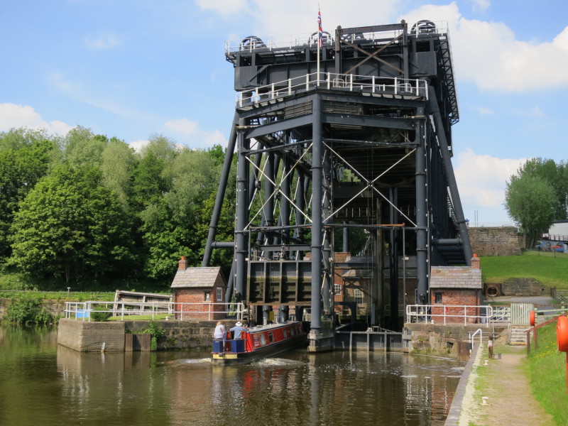
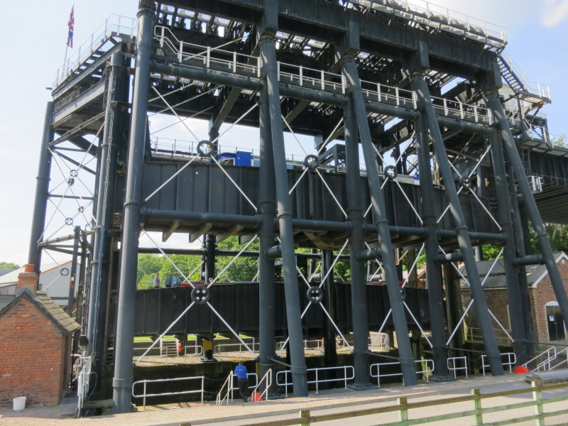
The focus for today was our visit to the Anderton Boat Lift - opened in 1875,
modified in 1908, closed in 1983 and re-opened in 2002. We hadn't thought
that there would be time to use the lift ourselves so hadn't enquired about
bookings or costs, but when we were there we discovered it was free to use with
a small booking fee, so despite the trip being essentially purposeless in that
we were going down only to come straight back up, Lucy and Mary quickly
organised it for us.
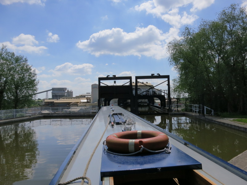
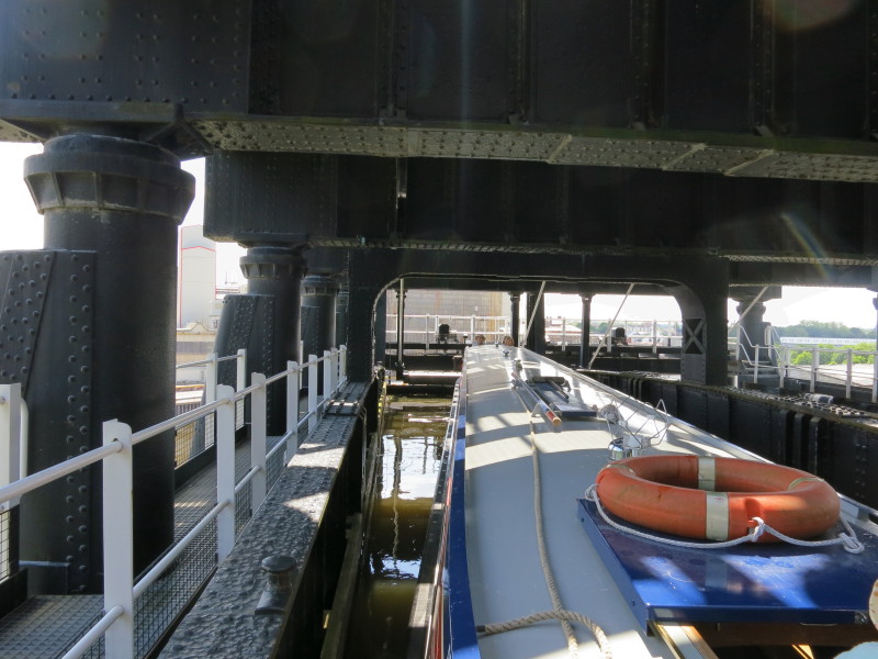
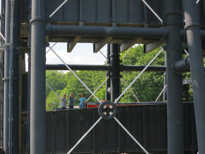
Heading into the aqueduct which leads to the lift itself
Looking back, the gate is closed behind us and secures the water in the aqueduct
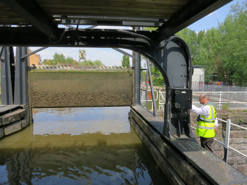
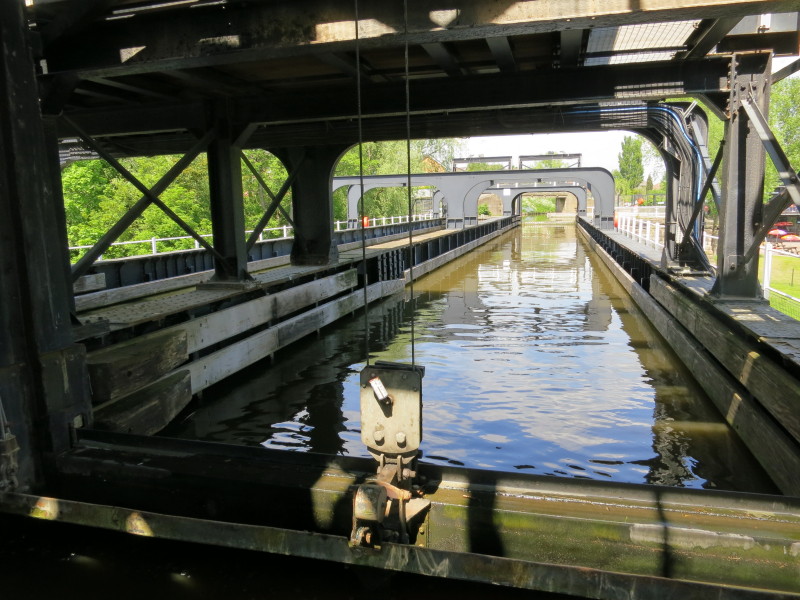
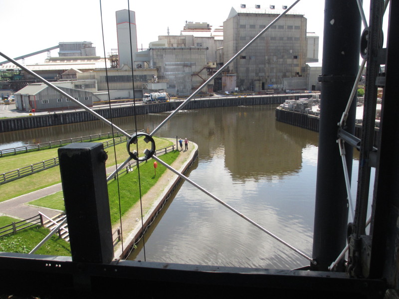
Looking out, we can see our destination 50 feet lower, the River Weaver. In the
foreground are the counterweights which were used for much of the lift's life to
allow independent operation of the two caisons. The weights hung down the sides
of the lift from wheels at the top, but were removed when the structural
weaknesses in the lift were identified, and the restoration has changed the
method of operation to a hydraulic ram which means less strain on the iron
structure of the lift
From inside the caisson itself, a look back at the aqueduct
Looking forward in the caisson
The gate at the back of the caisson has been lowered into place and we are
almost ready to start our descent
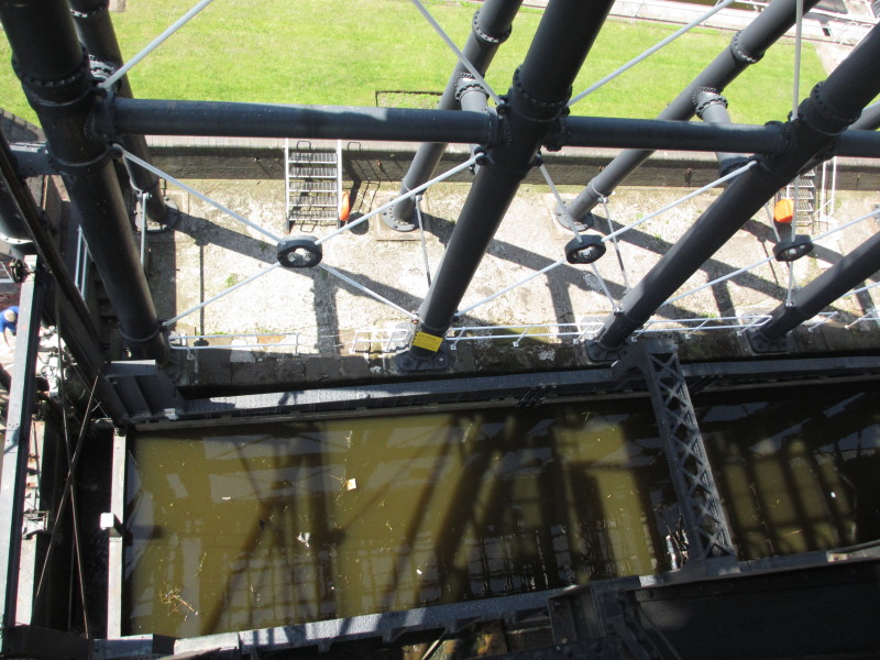
Looking down on the other caisson, ready to come up
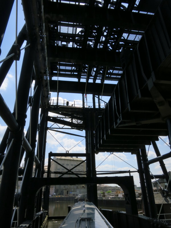
On the top, some of the wheels which once helped to lift the caissons and carry
the wire ropes to the weights already mentioned. Now they are just decorative
On our way down, some of the industry on the Weaver which justified the building
of the lift
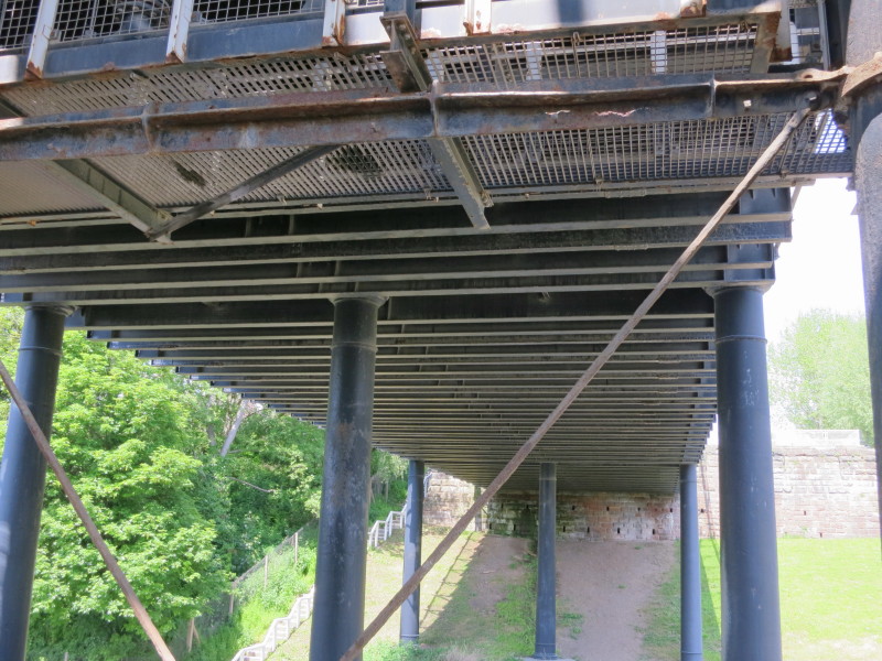
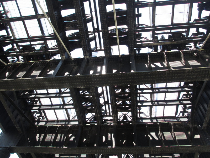
Looking up at the underneath of the aqueduct as we descend
The other caisson is now well above us as we are almost at the bottom
The hydraulic ram pushing the other caisson up
The bottom gate lifts ready to let us out onto the Weaver
A brief trip upriver on the River Weaver
...before we turn round and moor up ready to go up in the lift back to the Trent
and Mersey Canal
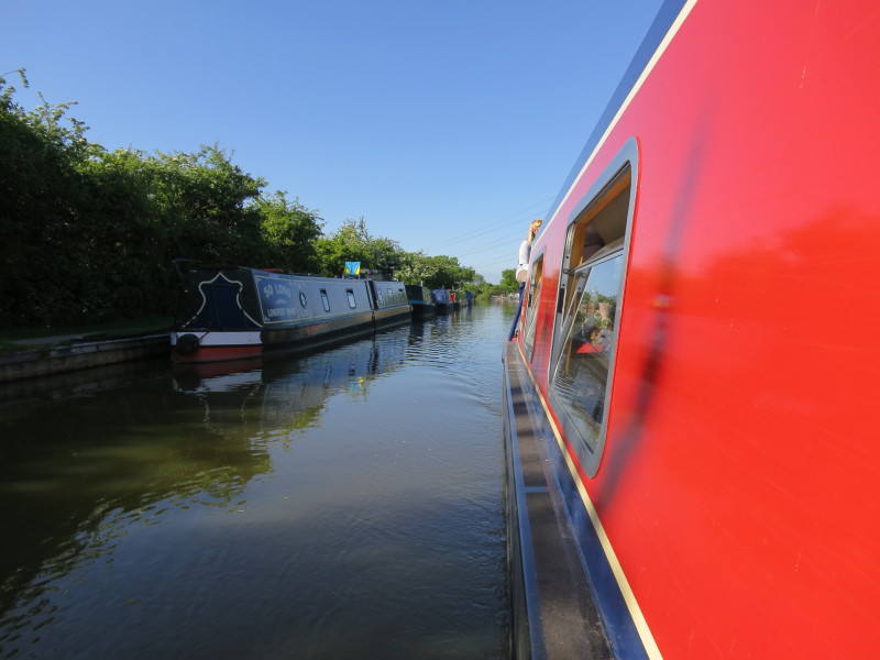
Lucy steers the boat into the lift, this time the left-hand caisson
Going up!
...as the trip-boat comes down in the nearer caisson
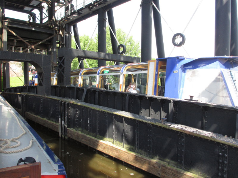
The two boats pass
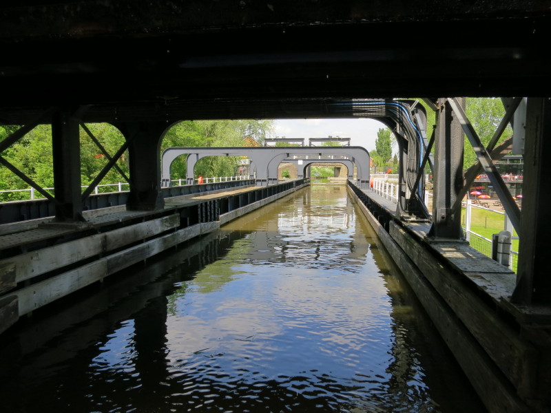
Exiting the aqueduct after the return trip is completed
After a re-provisioning trip into Barnton, some of the crew walk over Barnton
Tunnel with its ventilation shaft while the rest are in the boat somewhere
below.
Looking back at Barnton Tunnel - they're not there
Ah, here they are, moored between Barnton Tunnel and Saltersford Tunnel
Lucy at the tiller
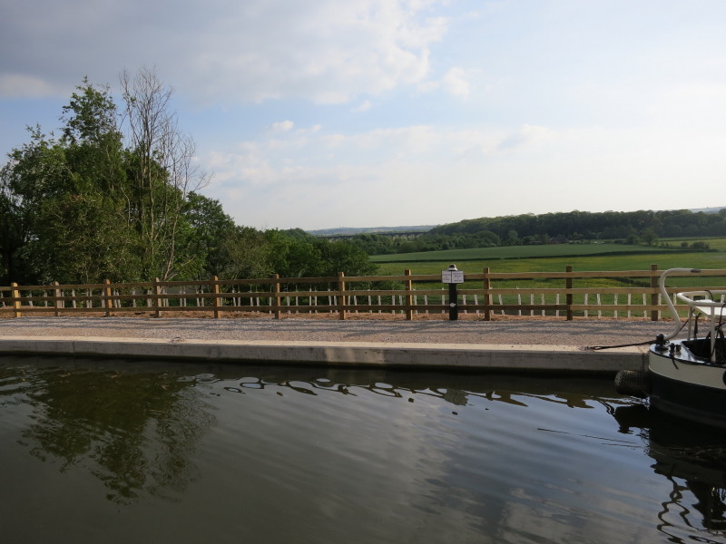
Passing the site of the Dutton breach - in September 2012 the canal had a major
breach with a huge amount of the embankment collapsing and twelve miles of canal
closed until last month
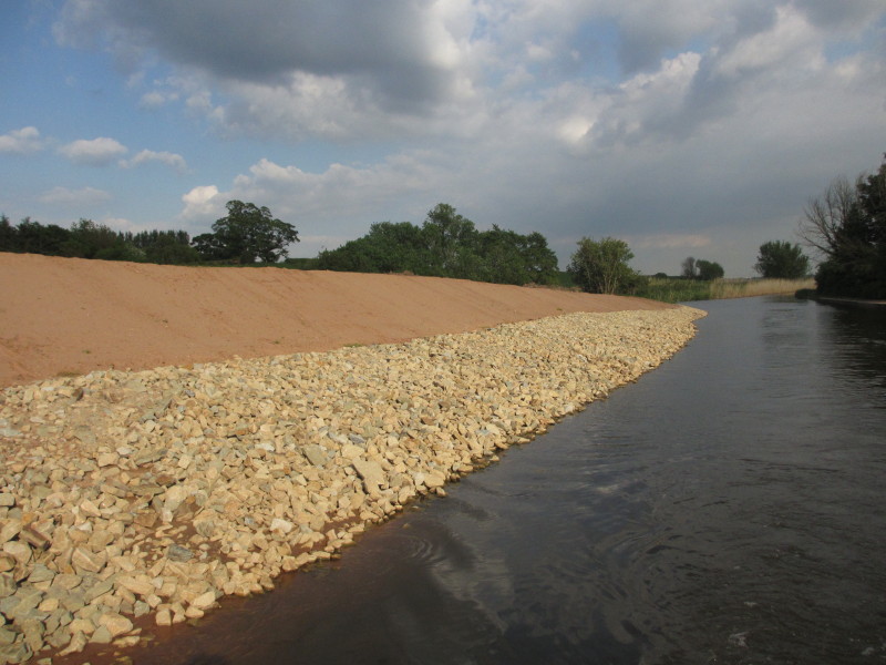
The other side showing the raw newness of the repairs that at a cost of £1.5m
mean that we can complete our Cheshire ring trip
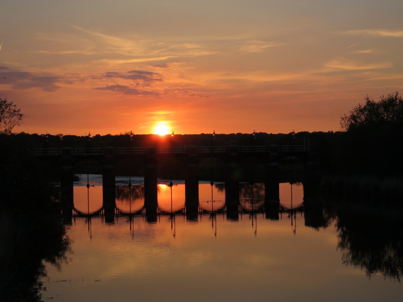
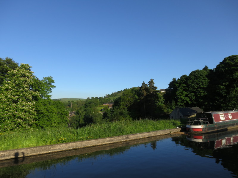
The view from our mooring spot near bridge 213
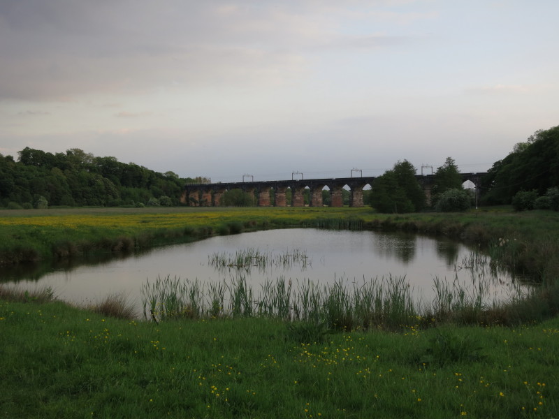
Some of us went for an evening walk, here crossing the 18th century route of the
River Weaver as it heads for the West Coast Main Line railway's Weaver Aqueduct
- apparently you can see the marks made by towropes on the bricks of the arch
where the river used to go before being re-routed as part of 19th century
improvement works to the navigation.
An elegant towpath bridge from 1919 known as Dutton Horse Bridge carries our
route across the original, pre-18th-century, route of the river
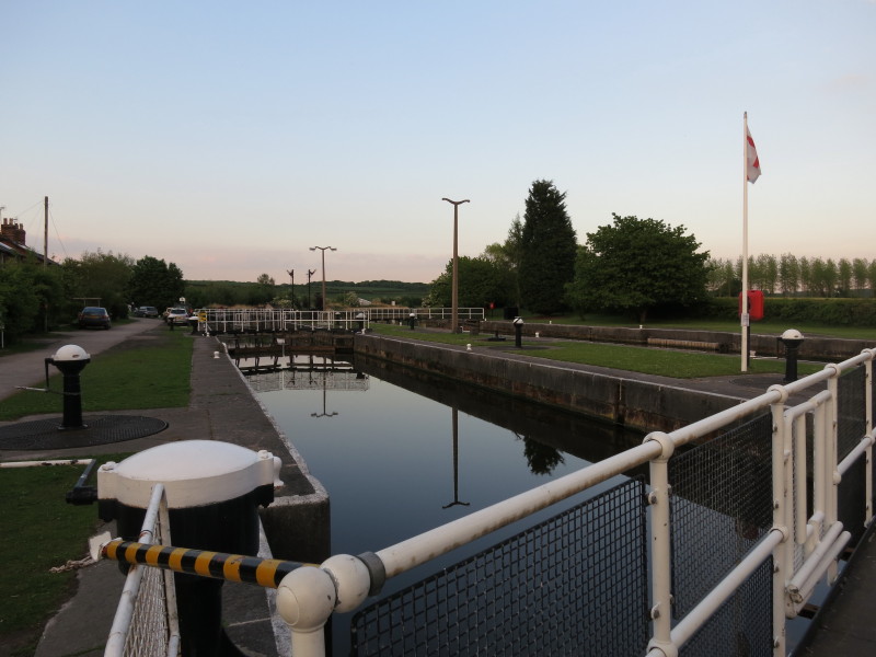
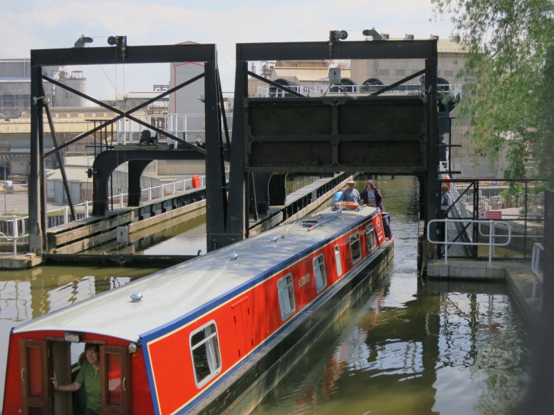
The Dutton Locks, the smaller lock on this side and the larger one on the far
side. The big lock once took the 1000-tonne St Michael in 1984.
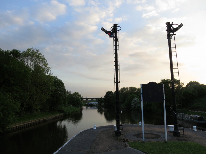
Railway-style signals were used to control access to the locks
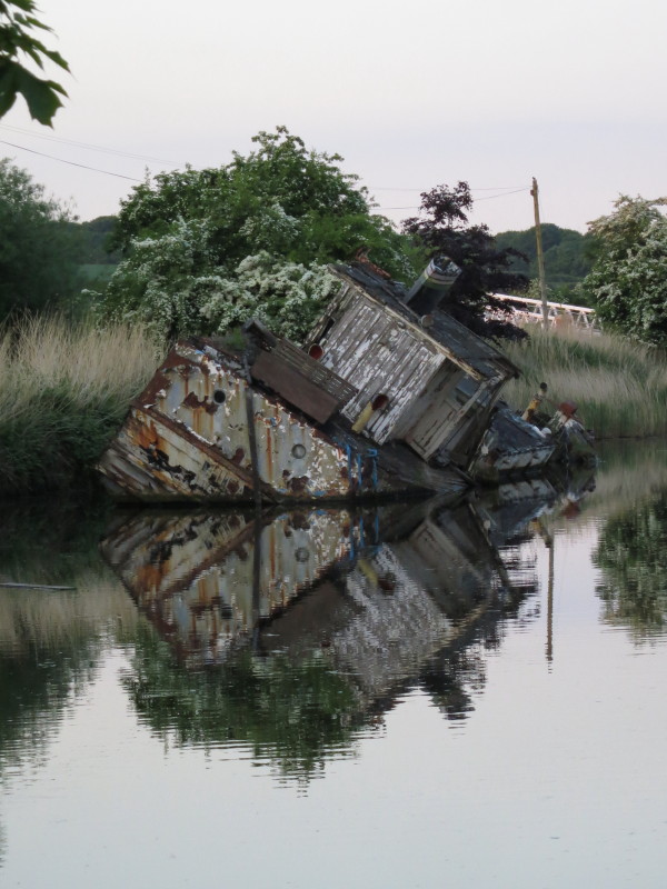
MV Chica, where she has lain since she sank in March 1993.
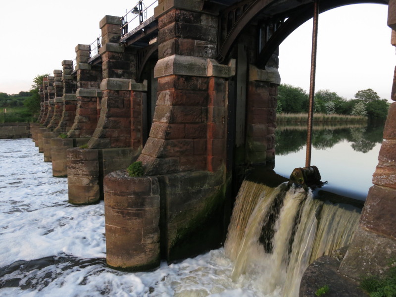
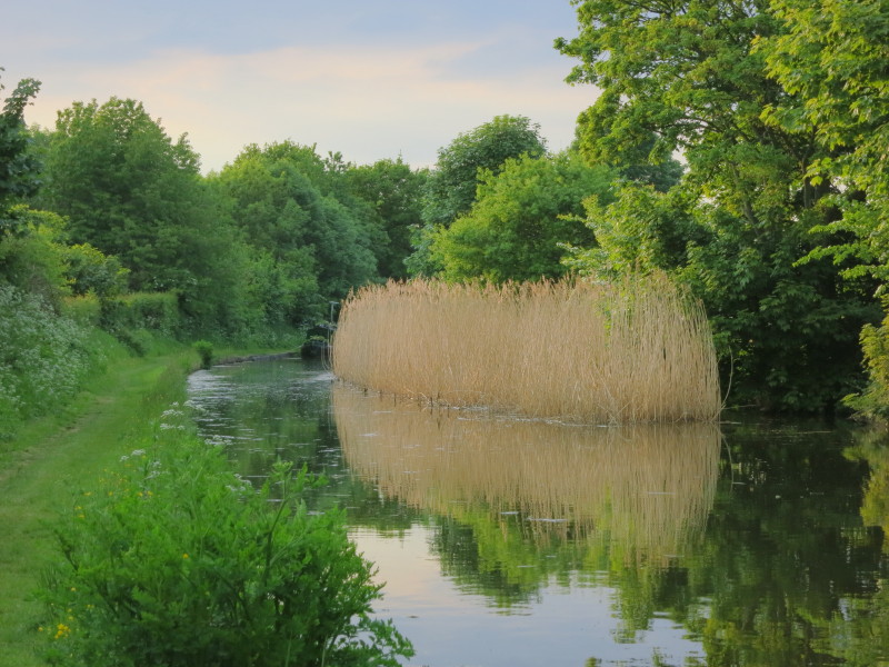
The weir above Dutton Locks
A lovely view at the Dutton weir
Tuesday
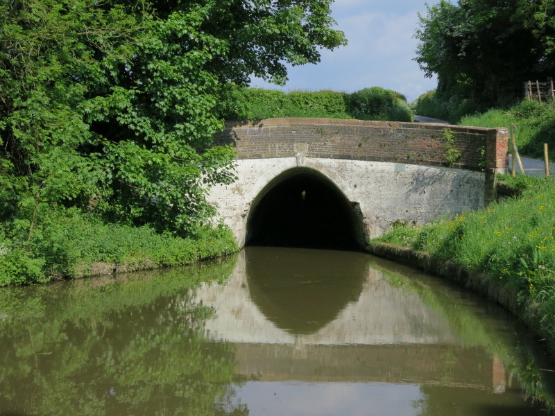
About to enter the 1239-yard Preston Brook Tunnel
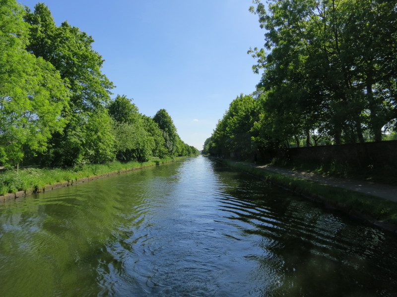
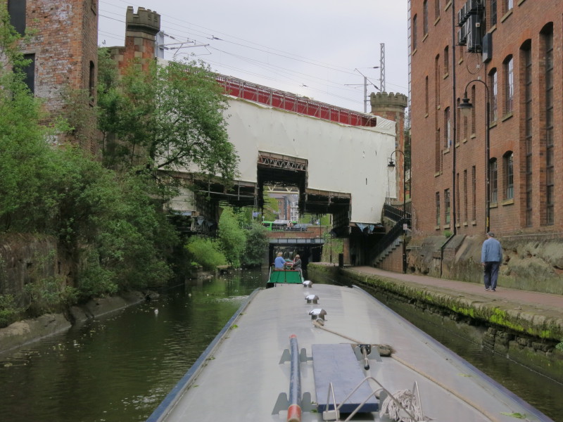
Reaching the edge of Manchester, the canal is very straight
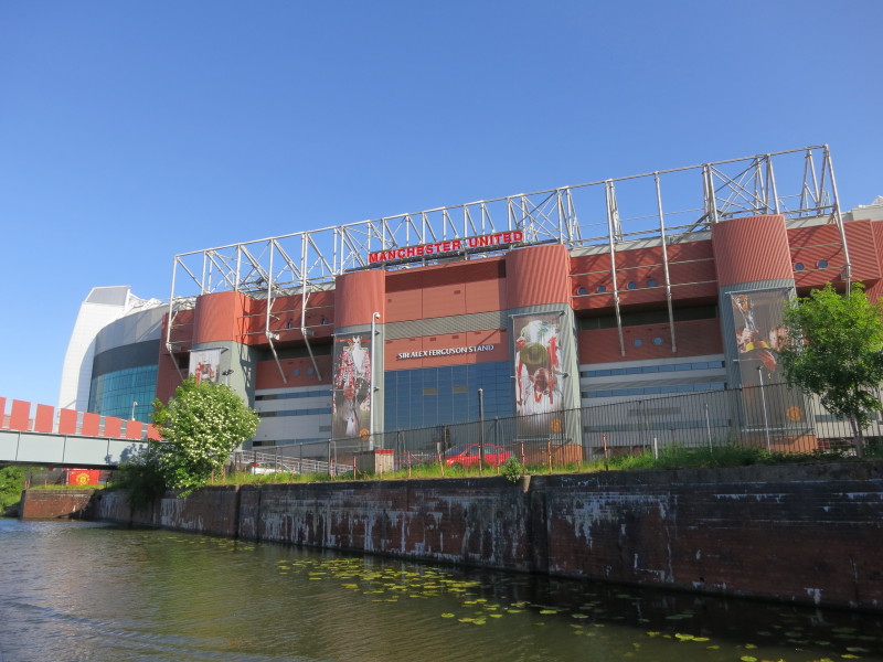
Passing Manchester United's stadium
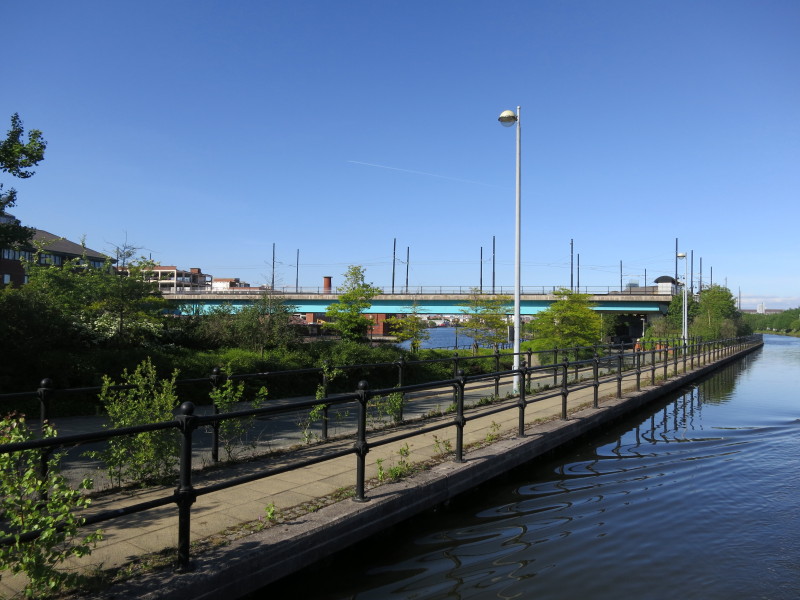
Centre of photo, the first glimpse of the Manchester Ship Canal, with the
Metrolink tram line crossing it
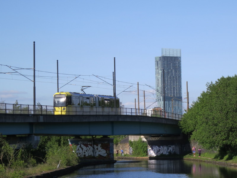
A tram crosses the Bridgewater Canal
Pomona Lock provides the modern link between the two canals
Our route lies straight on, though, along the Bridgewater Canal
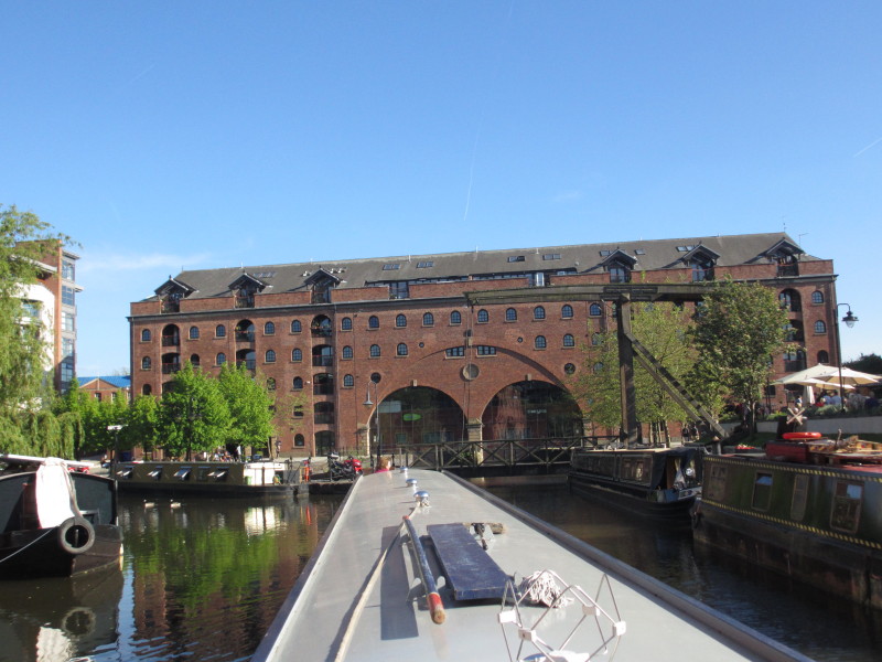
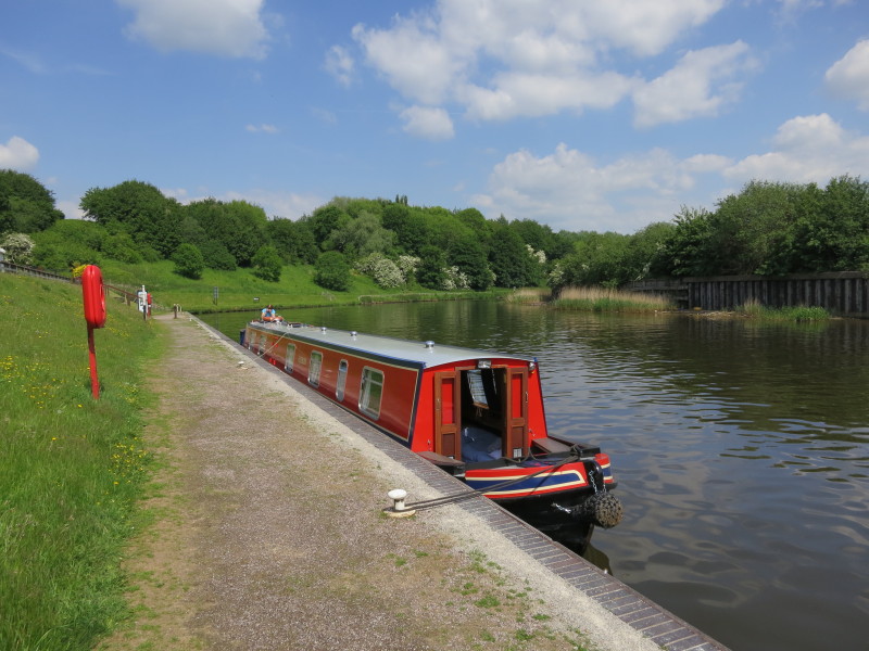
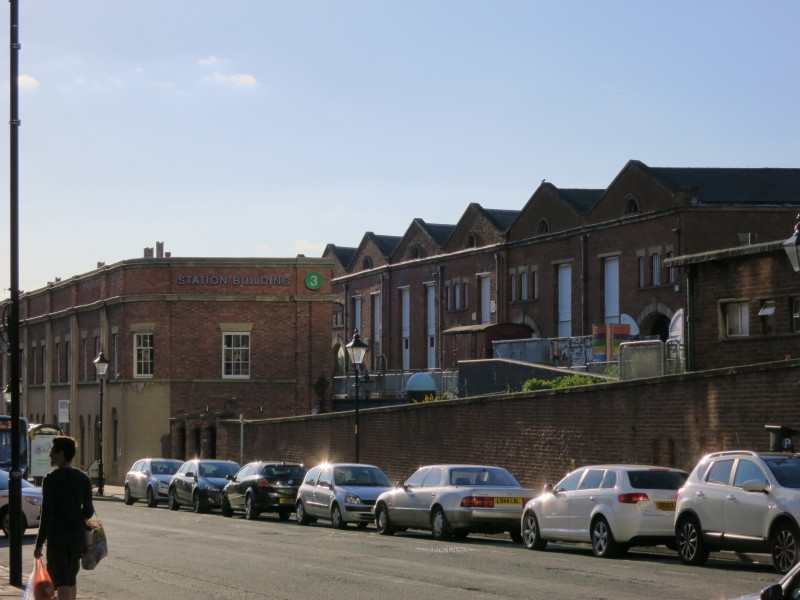
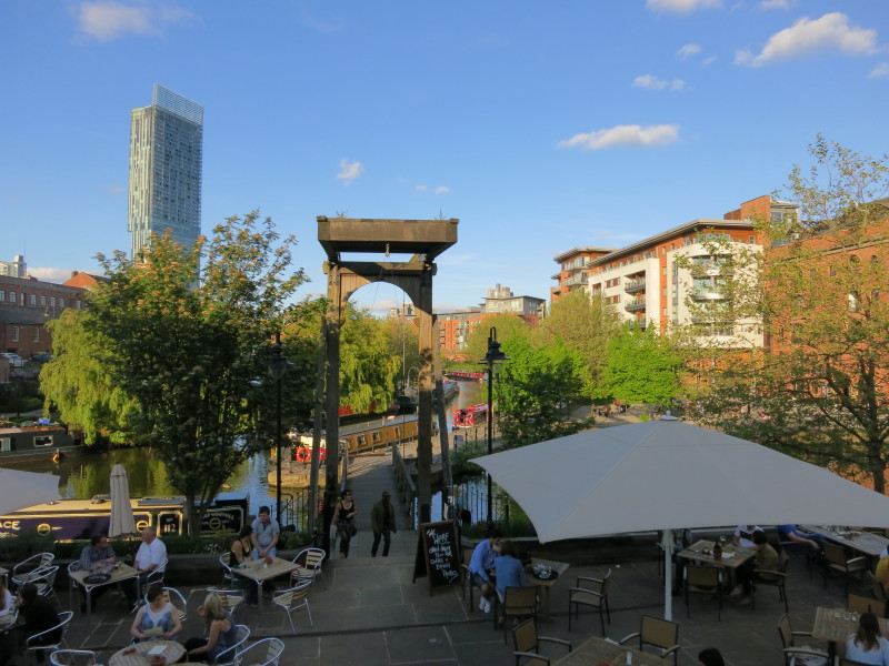
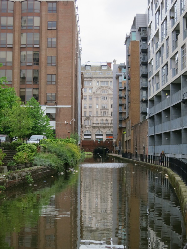
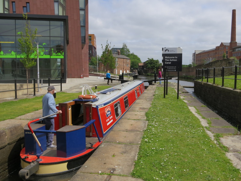
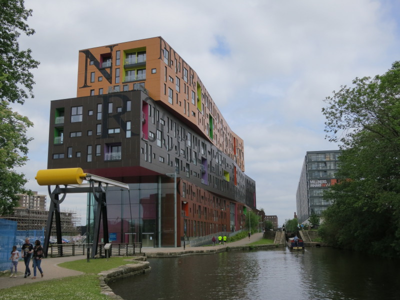
Coming into the central area at Castleford Quay, where we find a good mooring
for the night
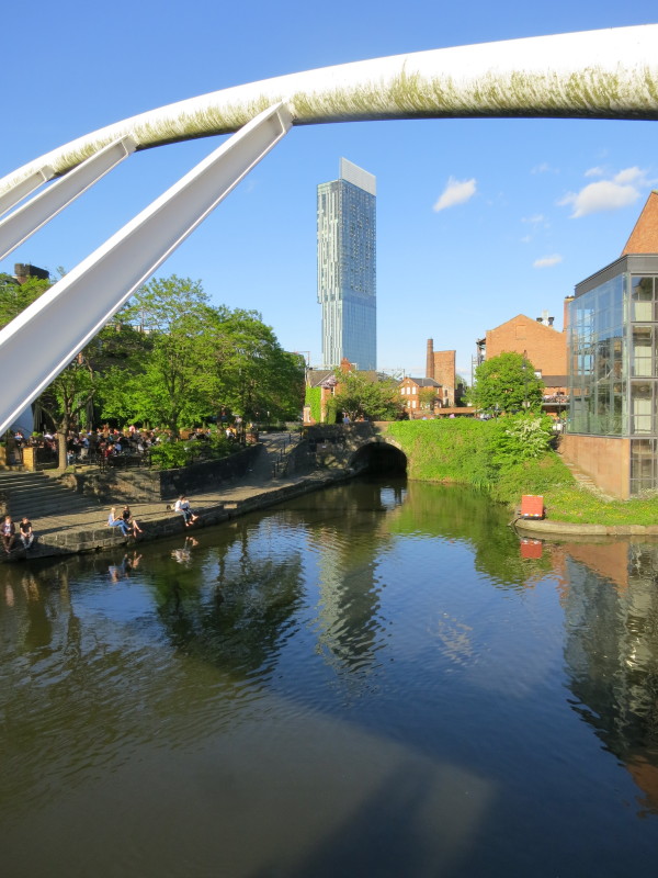
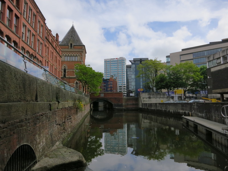
Taking a walk later, a view of the bridge which marks the start of the Rochdale
Canal, our route tomorrow, with the Beetham Tower looming over all
In amongst the clutter, note the railway van near the terminus of the world's
first public railway, the Liverpool and Manchester

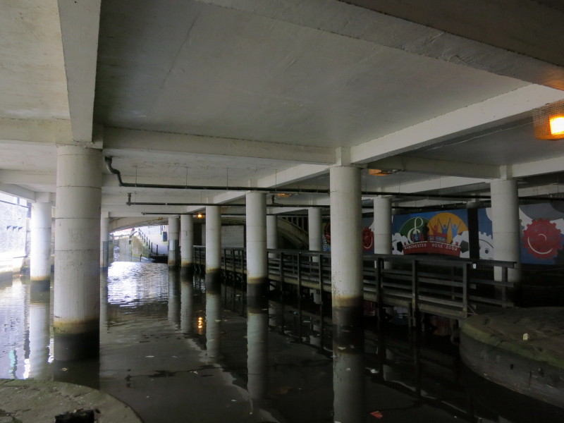
Some of the arms of the Potato Wharf area
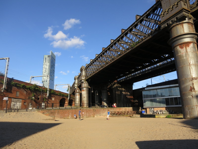
A city-centre beach lies partially underneath the railway viaducts
The view from our dinner spot, with our boat just visible in the far distance
A closer view of our mooring - our boat being the red one in the middle distance
Wednesday
Next morning, a brisk exploration before we get underway. This is our route in a
little while, up the first nine locks of the Rochdale Canal - two of them can be
seen in this picture
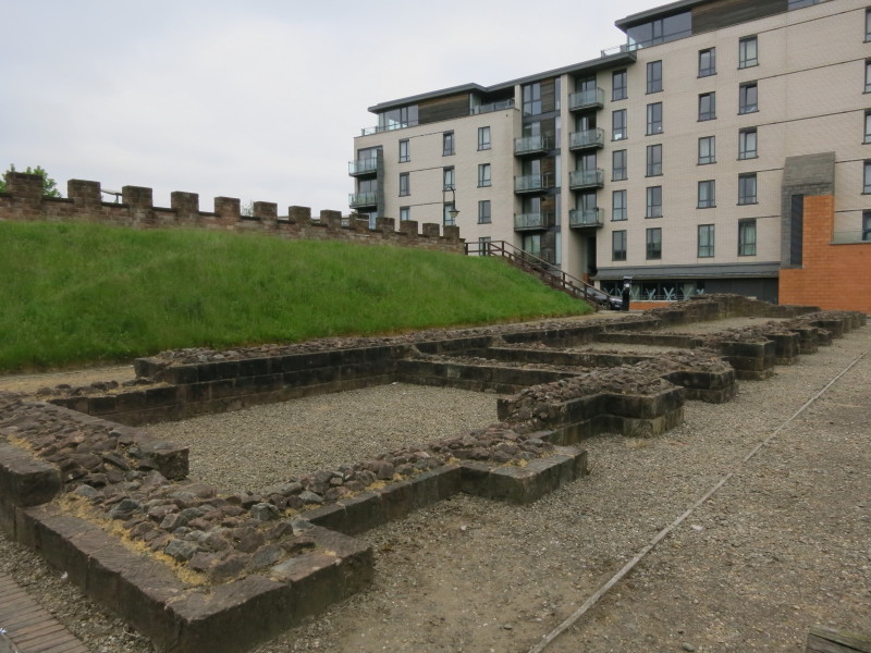
Mamucium or Mancunium was a Roman fort on this site, or to be more precise, was
the name of four successive Roman forts on this site. A village developed next
to the fort, and eventually became the city of Manchester. The fort was built on
a sandstone bluff (the name means "breast-shaped hill") overlooking the River
Medlock - the river that we are currently moored on, now subsumed into the canal
network. These foundations were rebuilt in 1972 where buildings were excavated
at that time.
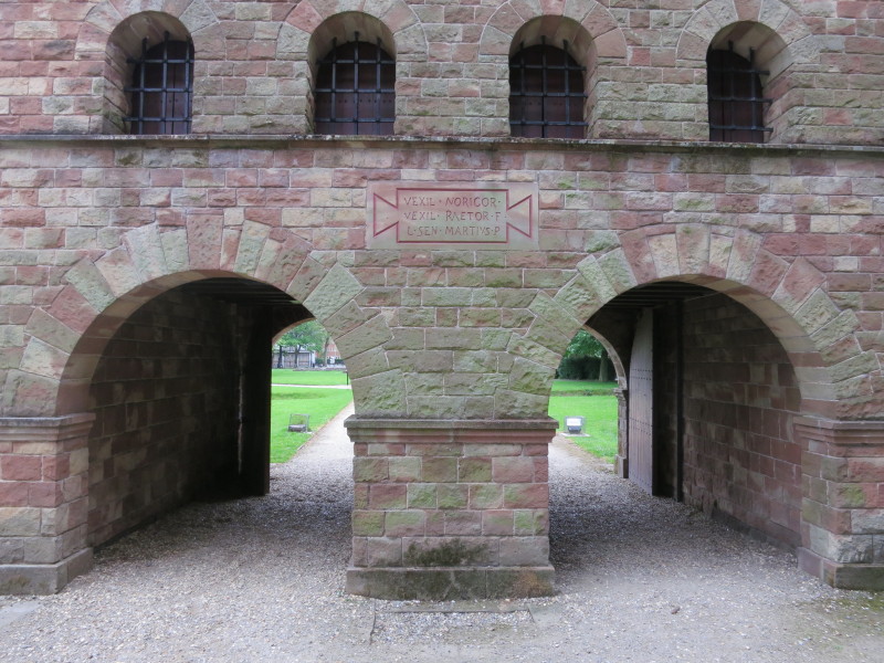
A short walk away, there is a reconstructed entrance gateway out of the fort
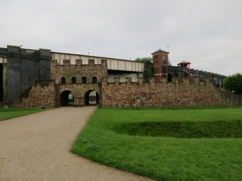
Looking back from north of the fort to the entrance into the fort, the railway
viaducts hint where further descruction was done to the site of the fort by the
railways' construction, adding to the damage done by construction of the
Rochdale Canal. Still a fascinating glimpse of the past.
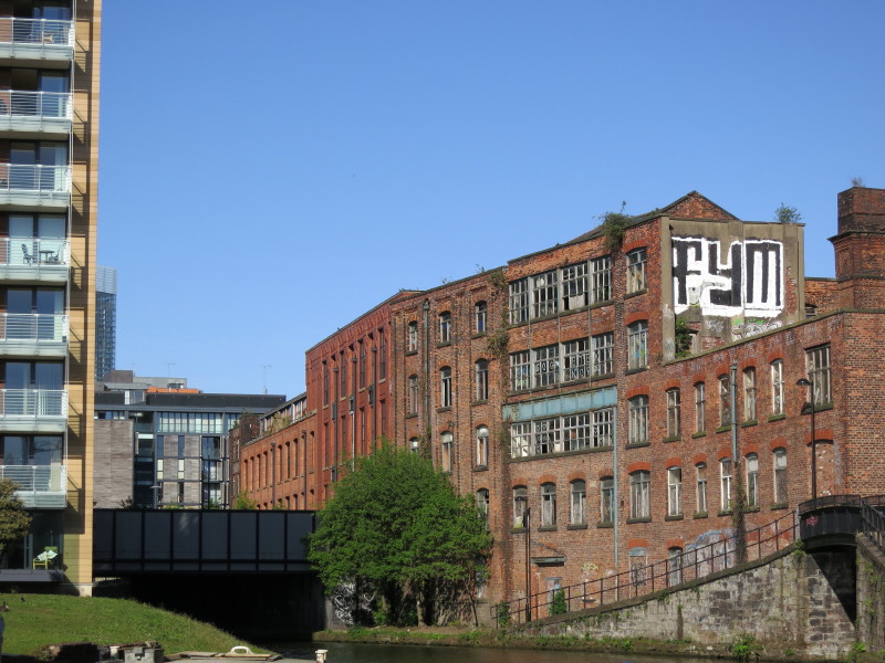
Later, heading through the canyon that is the Rochdale Canal, with high walls of
old mills rising on each side
New buildings have replaced some of the mills, but the canyon effect is similar
- and ahead there is a tunnel to carry us under another building
Passing through the gay village, there is no towpath so we need carefully to
collect the crew before we leave the lock
Passing under a building, with the photo taken from the head of one lock looking
ahead to the next, in echoes of Farmers Bridge flight in Birmingham
We have escaped the Rochdale Canal, which wasn't nearly as difficult to operate
as we'd been warned, and moved onto the Ashton Canal, back with narrow locks,
albeit all equipped with anti-vandal keys which add to the job of working the
locks
There seems to be a fashion around here for overhanging buildings - I wonder if
we'll look back on these as hideous mistakes in a few decades, as we do at much
of the concrete of the 1960s
Derek heads forward with the pole, in an effort to try to clear something from
under the water which is preventing us from getting fully into the lock
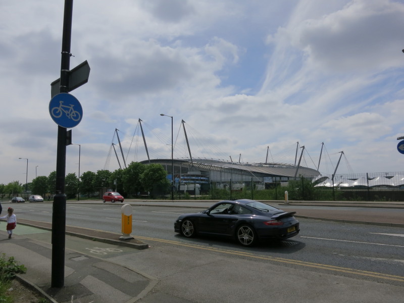
Having passed Manchester United yesterday, here we pass Manchester City's ground
Hmm, a bit short of water in this pound, and it is necessary to let quite a lot
of water through the next lock in order to be able to get the boat through here
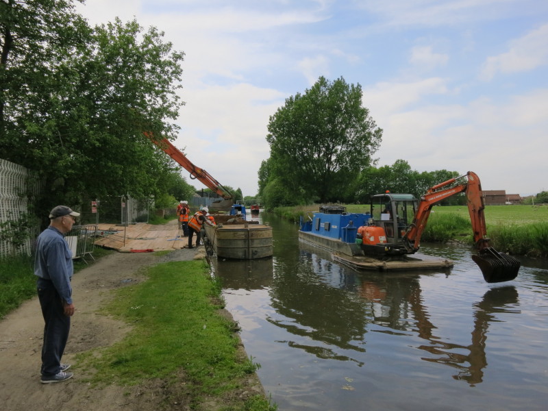
Some dredging going on, and lots of motioning for our boat (in the background)
to proceed, but the dredging boat didn't seem to be paying much attention, and
the focus of most people was on the crane lifting another barge into the water.
It was good that they didn't want to delay us, but it might have been safer to
stick to one thing at a time.
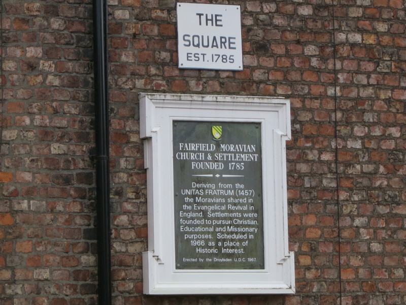
We met up with some of Mary's relatives who live in the Moravian settlement
here, and had a little wander round. As the tablet says, the church and
settlement were founded in 1785. The Moravians came to Saxony from Moravia in
1722 to escape persecution, and later they set up a number of international
missions.
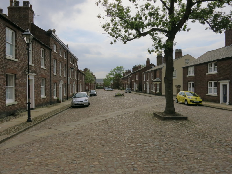
The streets and buildings are quite a contrast with the nearby new housing
estate through which we walked to get here
Thursday
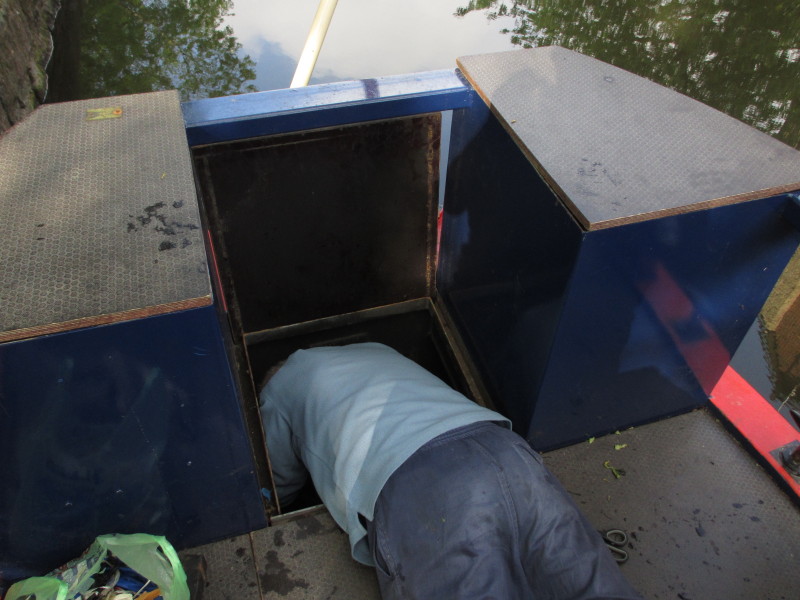
Unfortunately on urban canals, a periodic visit to the weed hatch is necessary
to remove rubbish that gets wrapped around the propellor, and today it is
Derek's turn
Heading backwards a few yards from our mooring spot to Dukinfield Junction (you
can just see part of the towpath bridge on the left), where we turn away from
the Ashton Canal and onto the Peak Forest Canal.
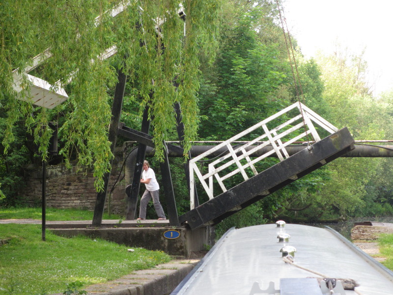
Merry winds up bridge 1 on the Peak Forest Canal to let us through
A turnover bridge, where the horse would walk up the ramp on the left and down
the spiral ramp on the right and under the bridge, thus crossing from one side
to the other to follow the towpath without the need to cast off the towing rope
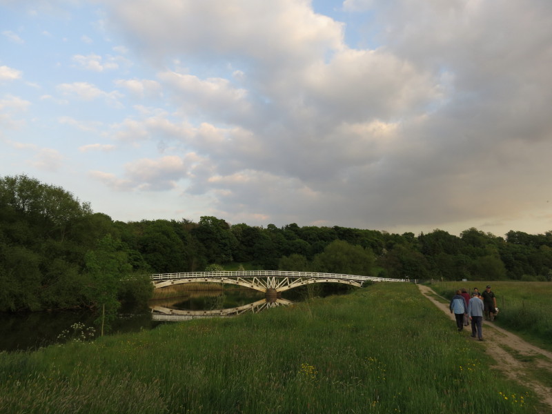
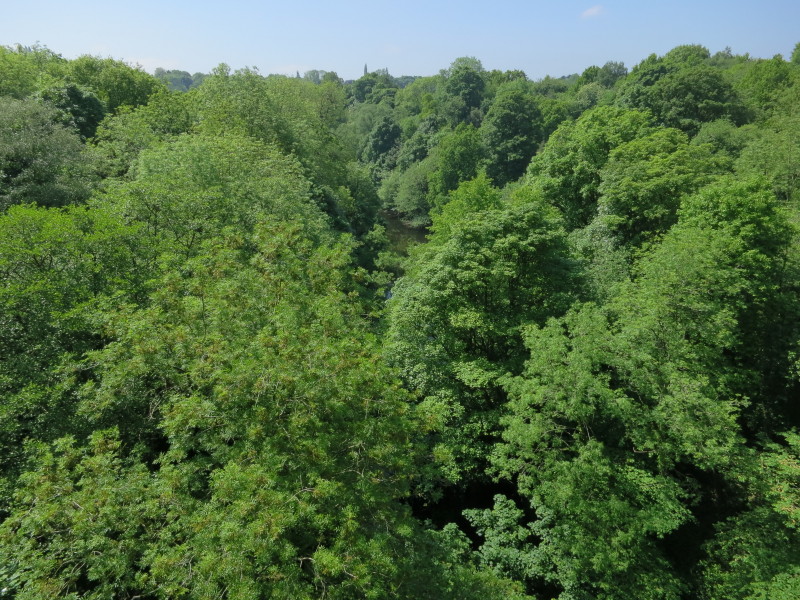
Crossing Marple Aqueduct which since 1800 has carried the canal 100 feet above
the River Goyt (though the river was known as the Mersey until the end of the
19th century); the whole is in turn overlooked by the railway viaduct.
We moored up at the eastern end of the aqueduct
Most of the rest go on ahead while Stephen fulfils his usual role of waiting for
the slowest in order to lock up
Looking from the aqueduct in the opposite direction to the viaduct, there is not
much sign of the river between the trees
Heading down from the western end of the aqueduct
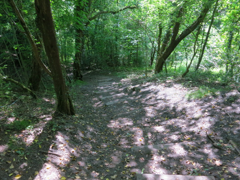
After passing under the aqueduct there is a good view of the viaduct, but no way
down to the river without quite a long walk, so instead we returned to the canal
and walked up a couple of locks, and took another path descending through
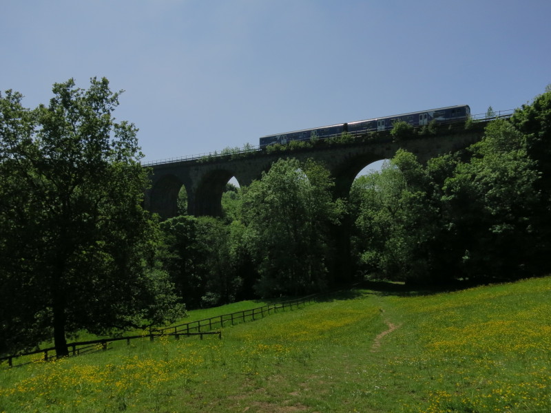
woodland to the river.
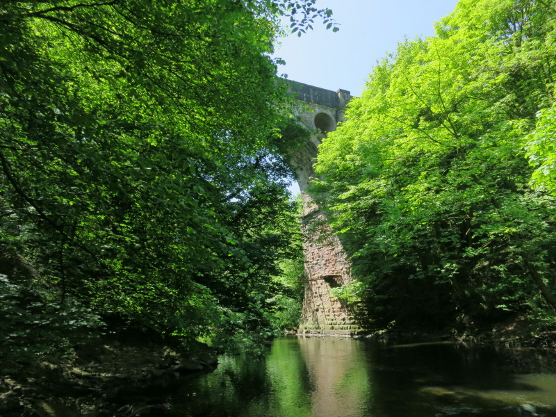
From there a walk along the river brought us first to the viaduct and then, here
to the aqueduct. The trees mean that there isn't a particularly extensive view
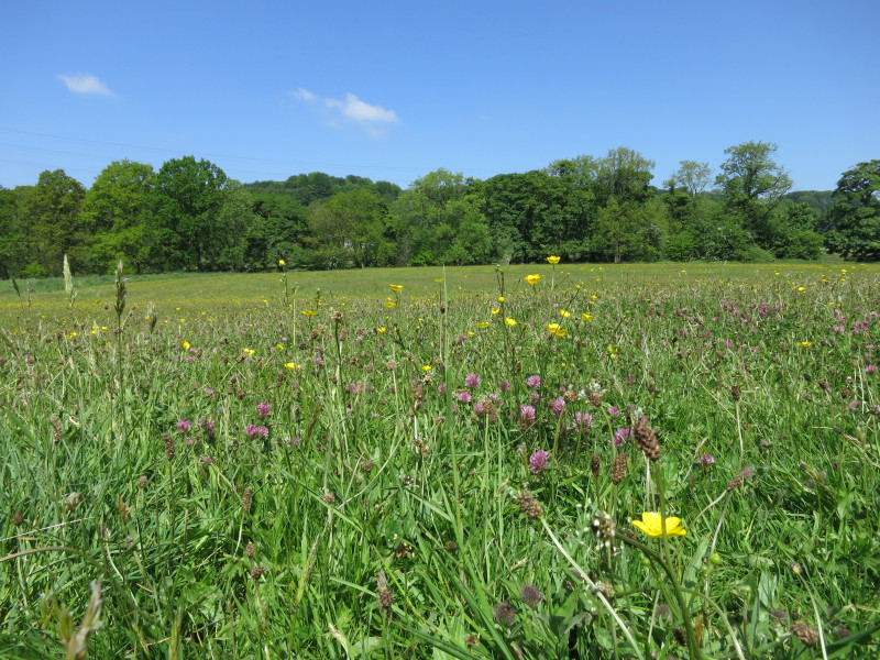
The meadow on the lovely walk
Back on the boat we got under way up the 16 locks of the Marple flight which
lift the canal 208 feet. All 16 locks are in the top 25 deepest locks in the
country.
Clare carefully opening the top gate paddle, which has plenty of potential to
sink the boat if opened too early
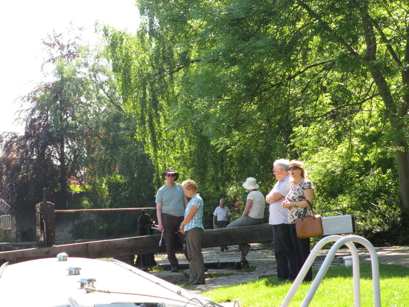
As we neared the top of the flight, the number of spectators grew on this lovely
sunny afternoon.
The gate paddles just fractionally open with the person at the gate staying
ready to drop them in an instant if the person at the stern isn't doing their
job of keeping the boat at the back of the lock. Once the boat and water level
are higher, the gate paddles can be opened more fully.
Mary clearly pointing out something to Lucy - we don't think they were having an
argument!
Derek waits for the lock to finish filling
Sarah and Jane ready to open the gate with Stephen apparently ready to push
against them!
Safely through the sixteen Marple locks, Stephen has turned the boat right,
through the bridge at Marple Junction (and to the admiration of a talkative
know-it-all on the bank) onto the Macclesfield Canal
Heading along the Macclesfield Canal
From our mooring spot for the night, it is possible to spot White Nancy, a
white-painted object at the northern edge of Kerridge Hill
Friday
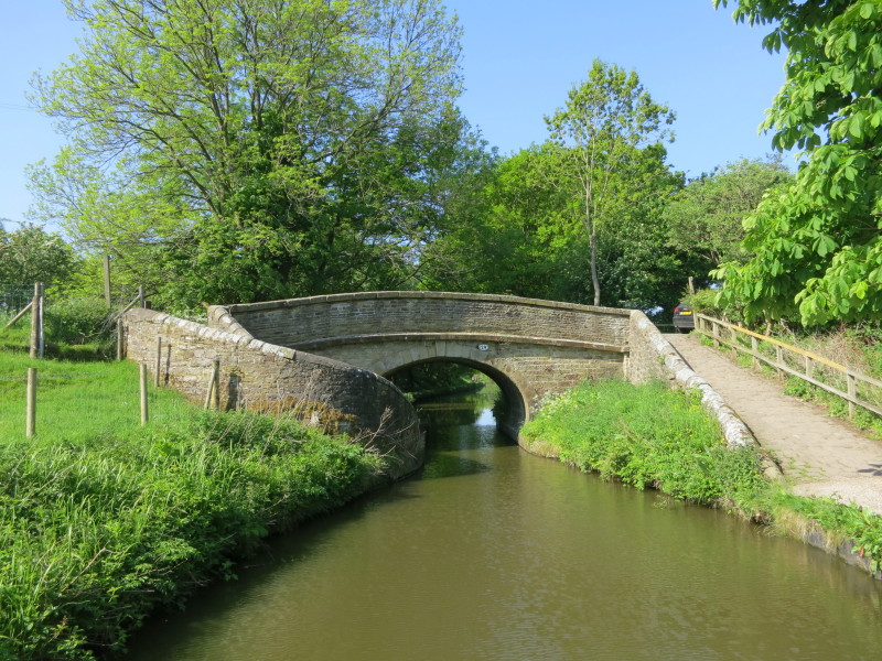
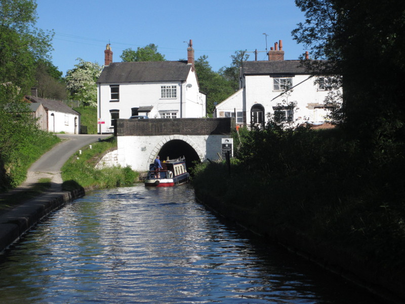
Another day, and another of the Macclesfield's turnover bridges
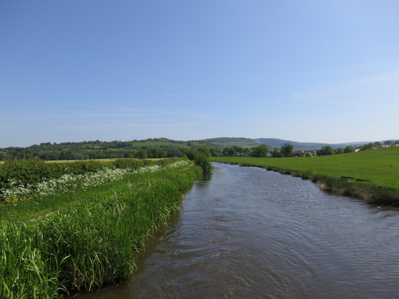
Much of the day had us running close to the western edge of the Peak District,
here seen behind us
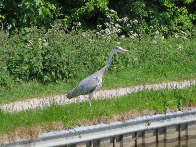
One of the many herons seen during the week
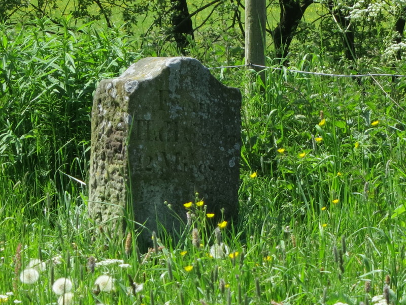
"From Hall Green 12 Miles" - Hall Green was the first lock of the week so we are
getting close to the end of the trip
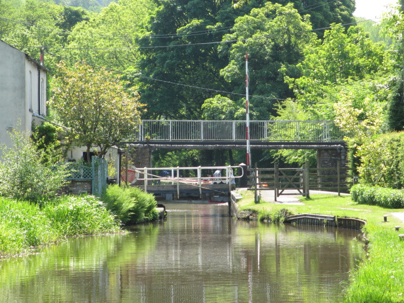
First we have this swing bridge at Oakgrove
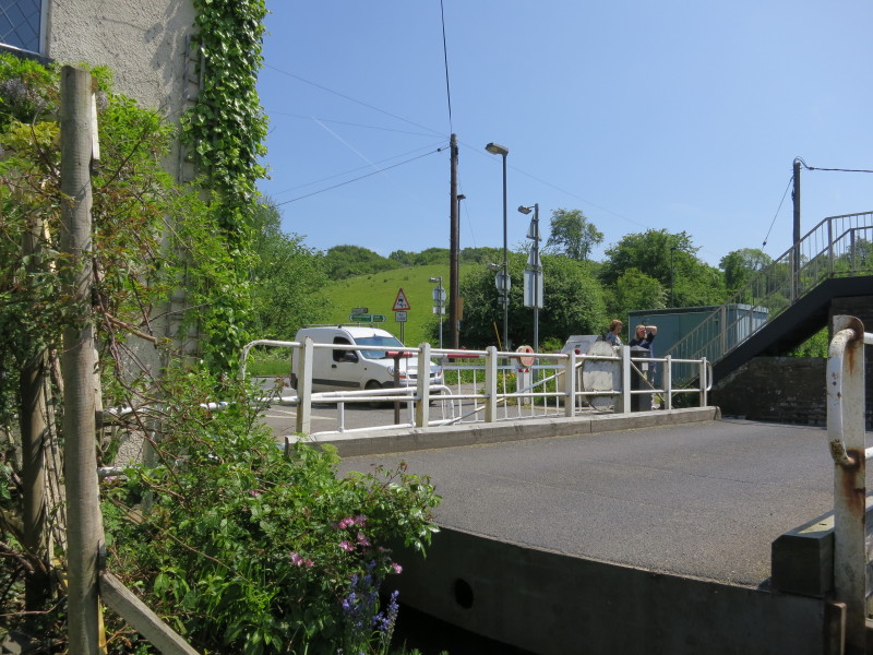
Mary and Lucy have swung the bridge and are now holding up the traffic as they
wait for the boat to pass through
From the bank, the boat goes past, with a couple of vehicles also waiting on the
other side
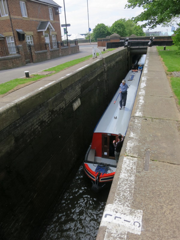
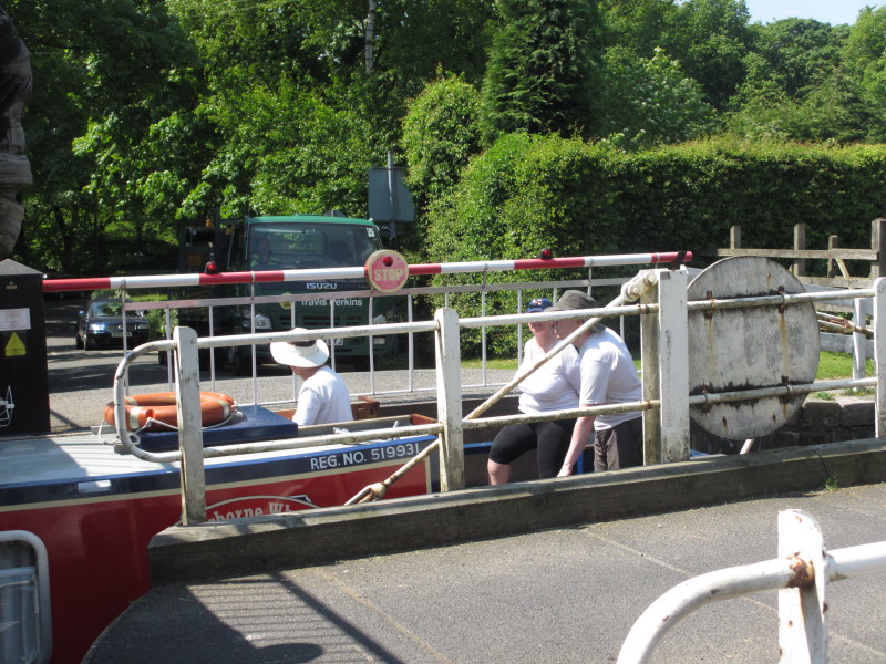
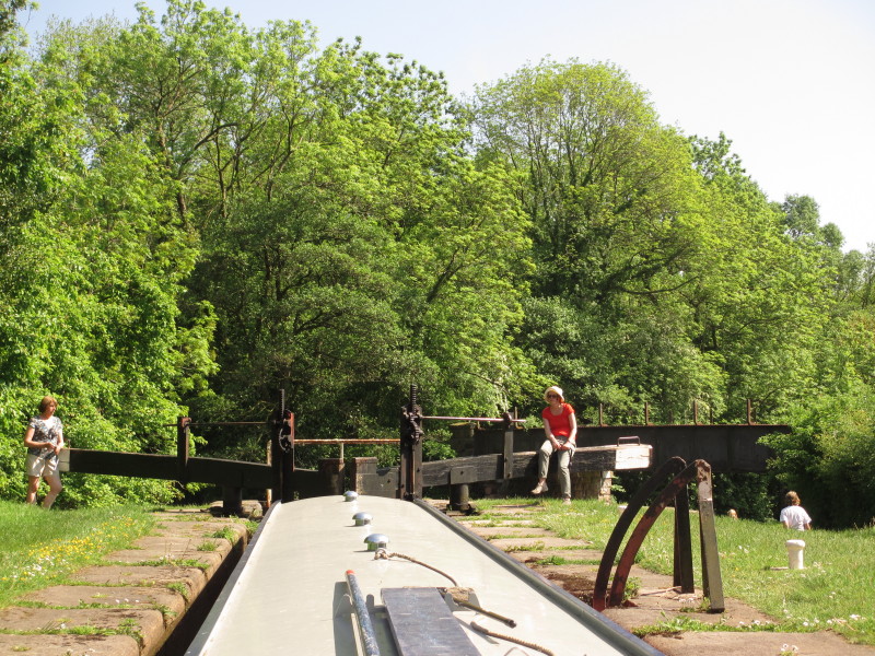
Descending the twelve locks of the Bosley flight, the last locks of our holiday
The hill known as The Cloud is ahead
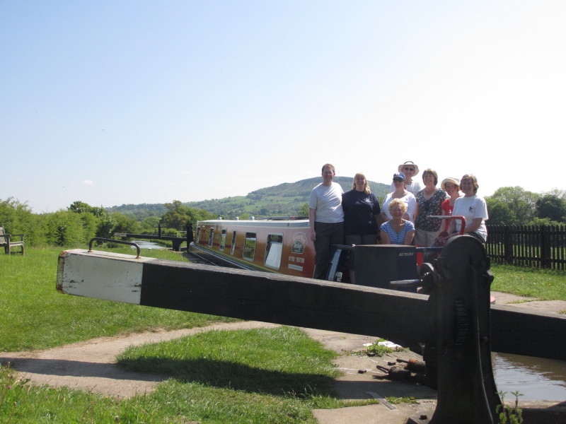
The eight of us, a somewhat rushed picture on Lucy's camera as Stephen's camera
chose this moment to stop working
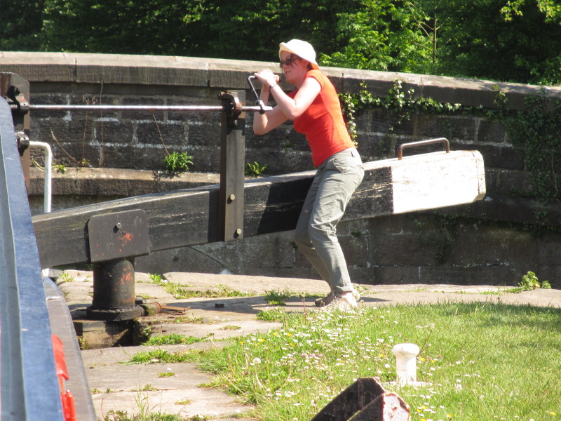
Sarah hard at work opening one of the gate paddles
In lock 11 - just one more lock to go under the old railway bridge.
Saturday
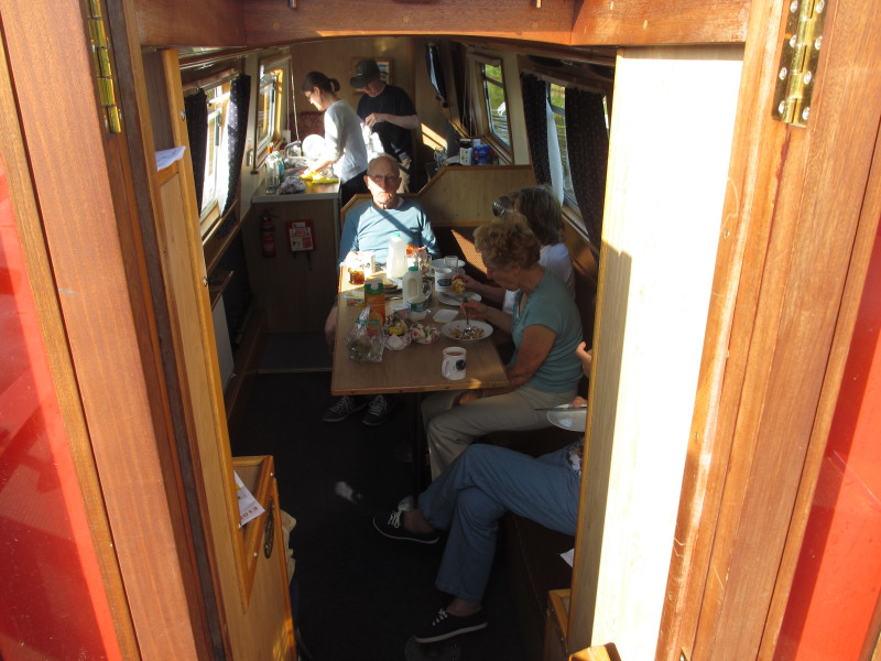
Last breakfast - Derek, Merry, Jane and Mary eat while Sarah and Stephen wash up
A lovely Saturday morning as we progress towards the marina
After dropping off the boat, there is time to spare before we are due to drop
Claire at the railway station, so Stephen somehow persuades Lucy and Claire to
walk up The Cloud, seen yesterday from Bosley locks, which can be seen in the
distance
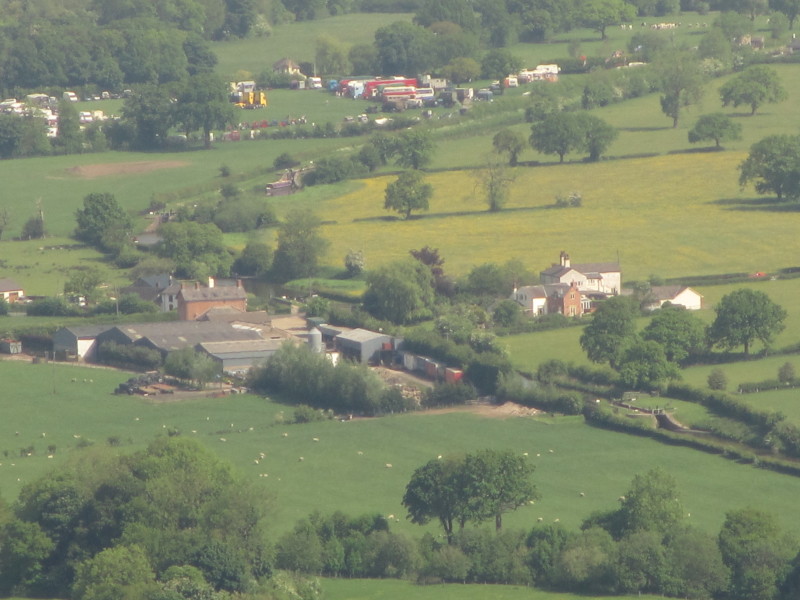
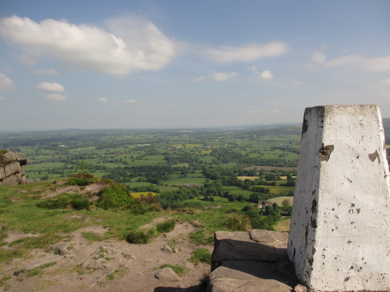
A zoomed in view of some of the locks so you can see them too
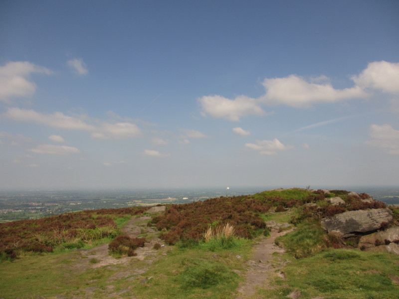
Looking north-west from The Cloud towards Jodrell Bank radio telescope 13
kilometres away. In clearer weather the views are much more extensive, to
Snowdonia, the Shropshire Hills and the Forest of Bowland.
|