Sutton Hoo, River Deben and Woodbridge Tide Mill
2 March 2002
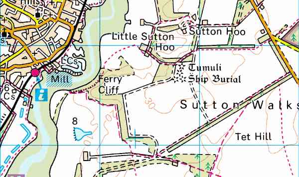
The walk started from the "traditional" car park at the junction
of the roads to Hollesley and Bawdsey, a few hundred metres south-east of the
road to the new Sutton Hoo visitor centre, due to open on 14 March.
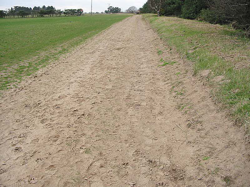
The combination of the sandy soil (very prone to erosion in high winds) and
farming for turf has left the hedges higher than the surrounding land.
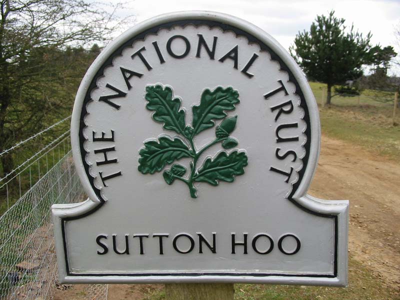
The National Trust acquired the Sutton Hoo site a few years ago, and has
built a new visitor centre, where artefacts taken from the site in the 1930s
will be on short-term loan from the British
Museum.
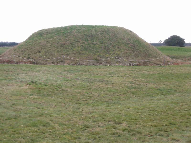
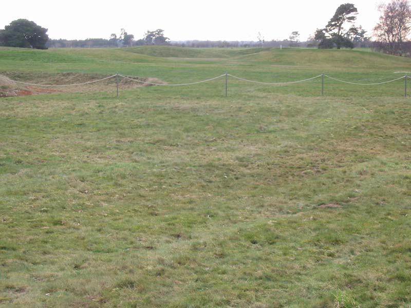
Mysterious "tumuli". In 1939, excavations at Sutton Hoo revealed
the richest burial ever discovered in Britain, an Anglo-Saxon ship containing
the treasure of one of the earliest English Kings, Rædwald, King of East
Anglia. Further excavations, completed in 1992, proved the site to be a complex
collection of burials, some royal, others possibly the victims of judicial
execution.
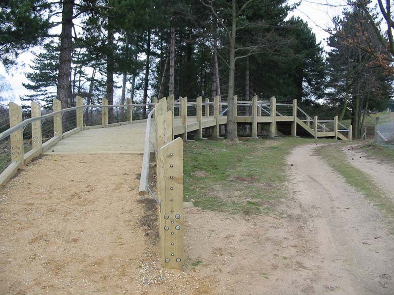
Part of the new works is this highly impressive and expensive-looking
walkway, which appears to serve no purpose as there is a perfectly serviceable
track right next to it.
|
Turning away from Sutton Hoo...
|
...and walking down towards the River Deben |
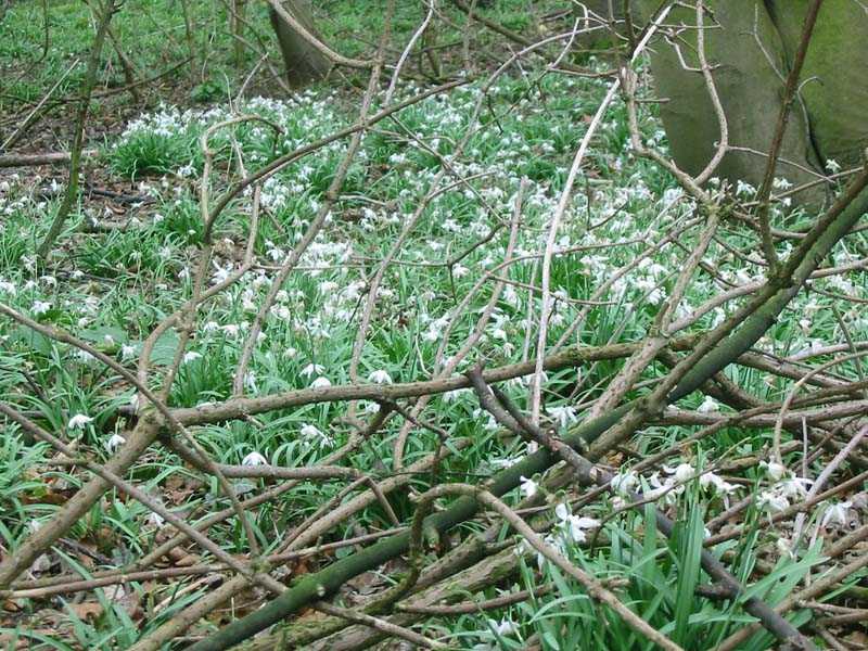
...passing some snowdrops in the woods
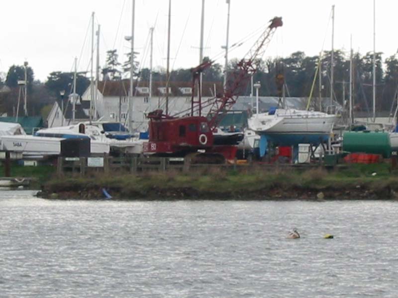
Woodbridge and the marina come into view across the river.
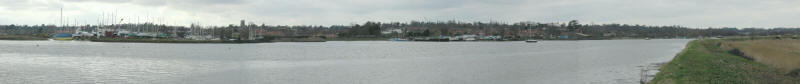
Panoramic shot from the river-wall. Click for a larger version.
As the name suggests, there was once a ferry from Woodbridge across the
river to here (which we can probably thank for the existence of this public
footpath). Apparently there are efforts afoot to resurrect the service.
Presumably not the ferry!
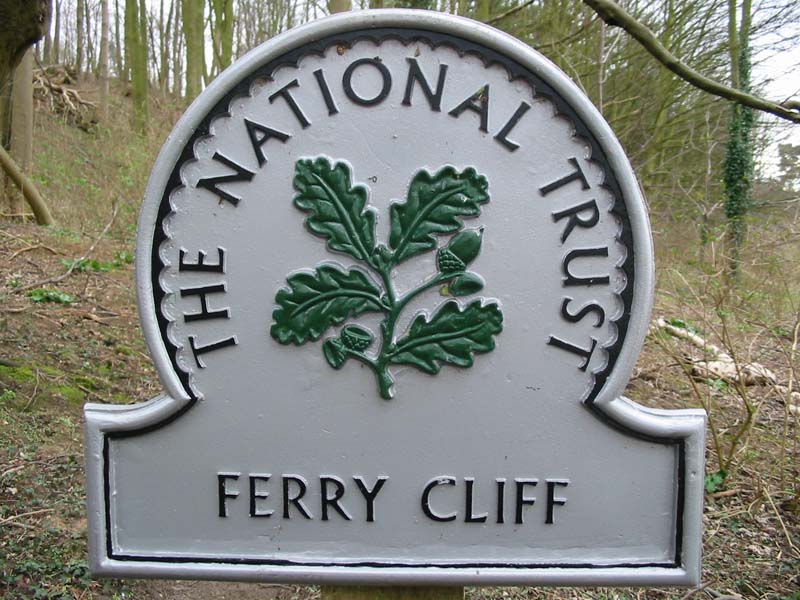
Ferry Cliff
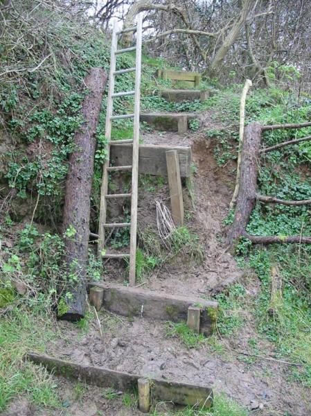
The first time I've seen a ladder on a public footpath
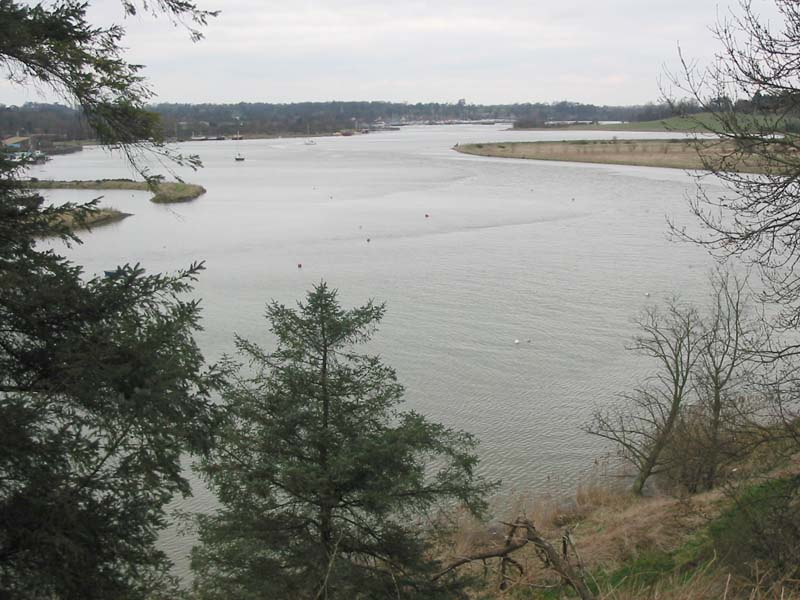
As the path climbs to the top of Ferry Cliff, the view opens out upriver
towards Wilford Bridge.
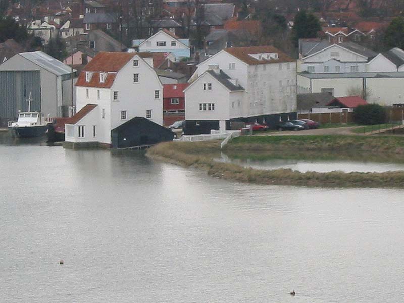
The white building on the left is the Tide Mill.
A mill has stood on this site since 1170, powered by water from Wyllies Pool on
the right (filled at high tide) driving the water-wheel in the black part of the
Mill when the river is at low tide, the height difference between low and high
tide providing the energy. The Mill is open weekends in April and October, and
every day from May to September, 11am to 5pm.
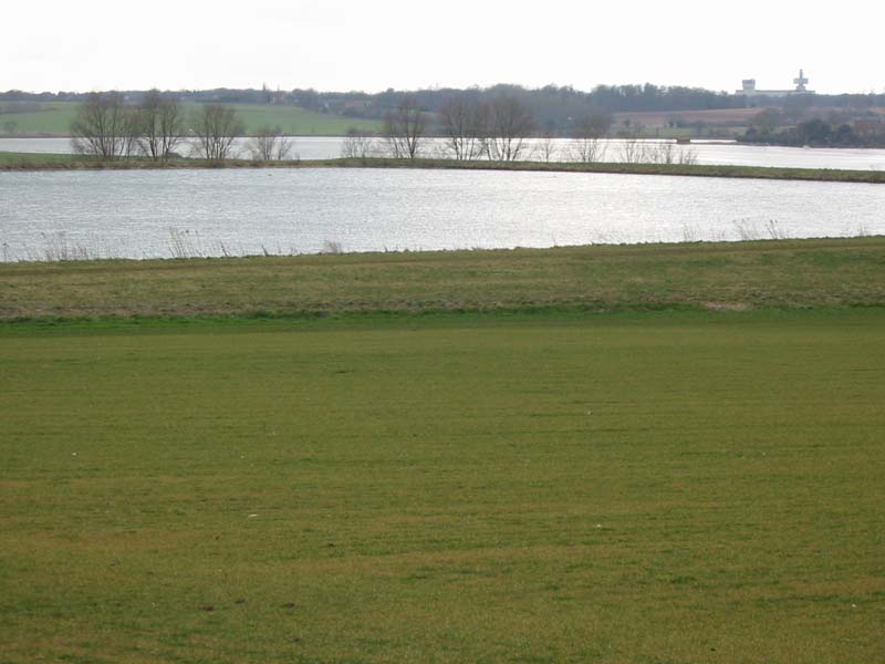
The River Deben, behind a reservoir. BT's research laboratories at
Martlesham Heath are visible on the horizon.
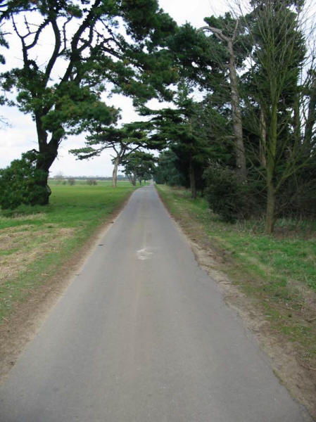
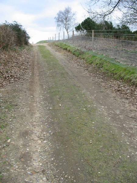
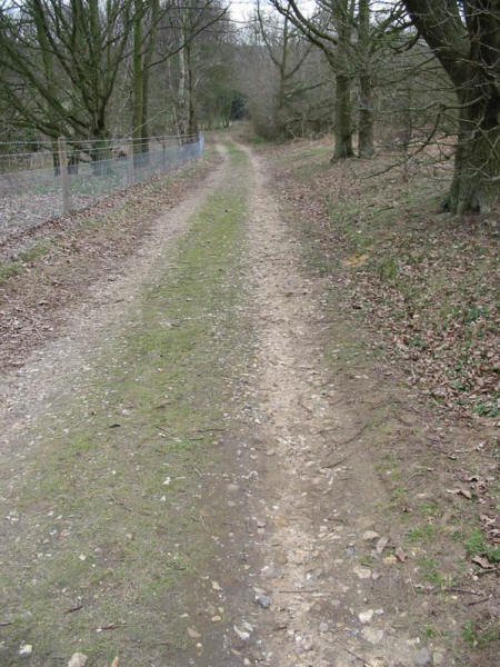
The last mile or so of the walk was dead straight along this
"bridleway" which turned out to be a private tarmacked road.
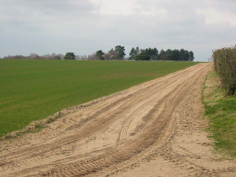
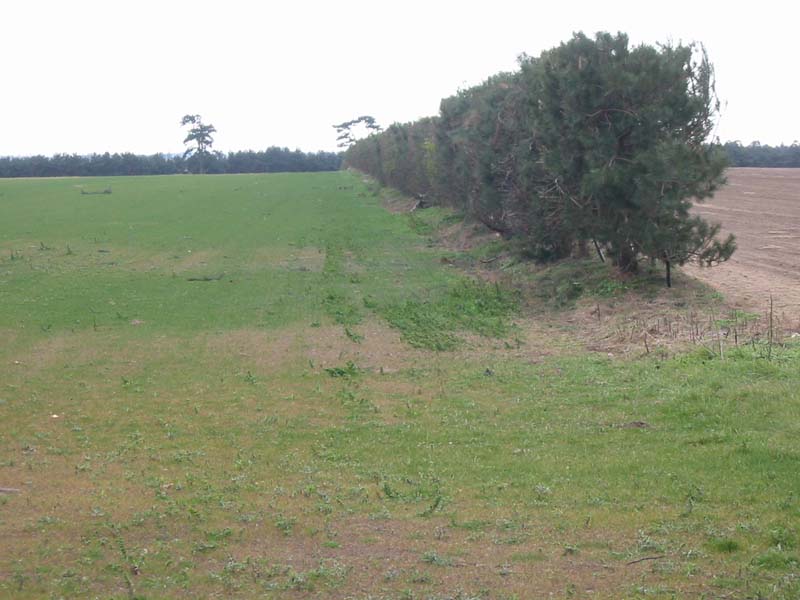
Turf farming - before...
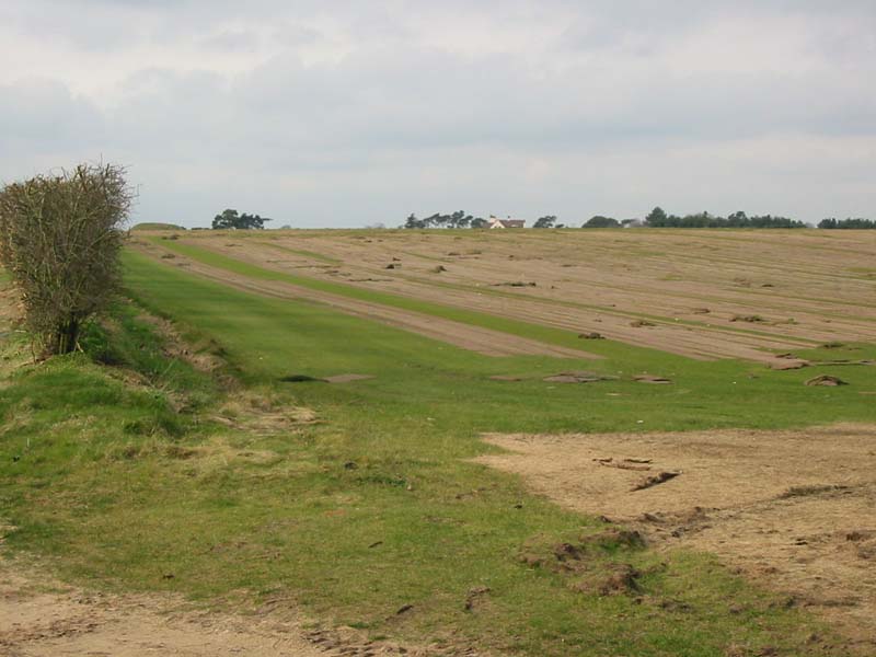
...and after.
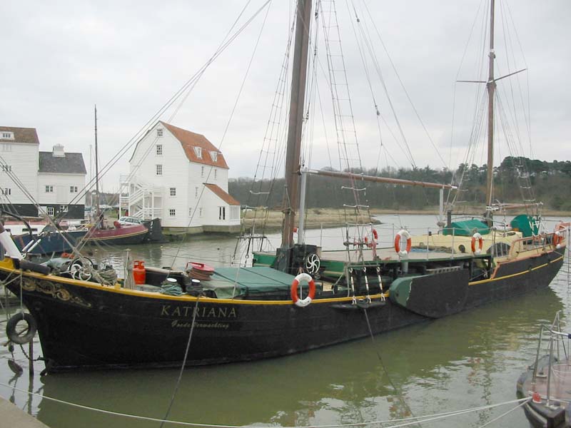
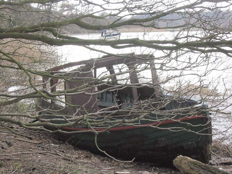
And from the other side of the river, the Tide Mill behind Katriana.
|
