River Stort Way: A walk along the River Stort
from Bishop's
Stortford to the River Lea
24 March 2007
On a rather gloomy morning, Stephen and George got the train to Bishop's
Stortford for a walk along the River Stort Way. Or at least, that part of the
River Stort Way which runs along the River Stort - the Way in total forms a
large loop, but what the purpose of the rest of the route is, going back to the
beginning, is unclear.
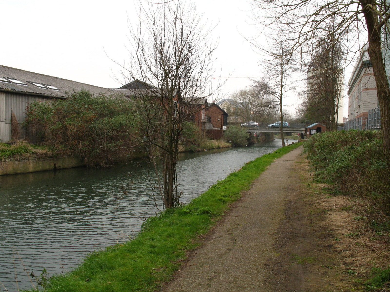
We join the River Stort in Bishop's Stortford and begin our walk
south/south-west towards the River Lee
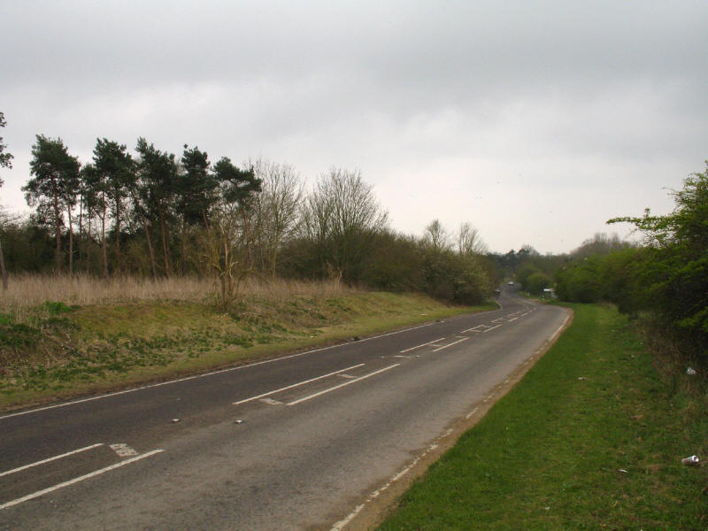
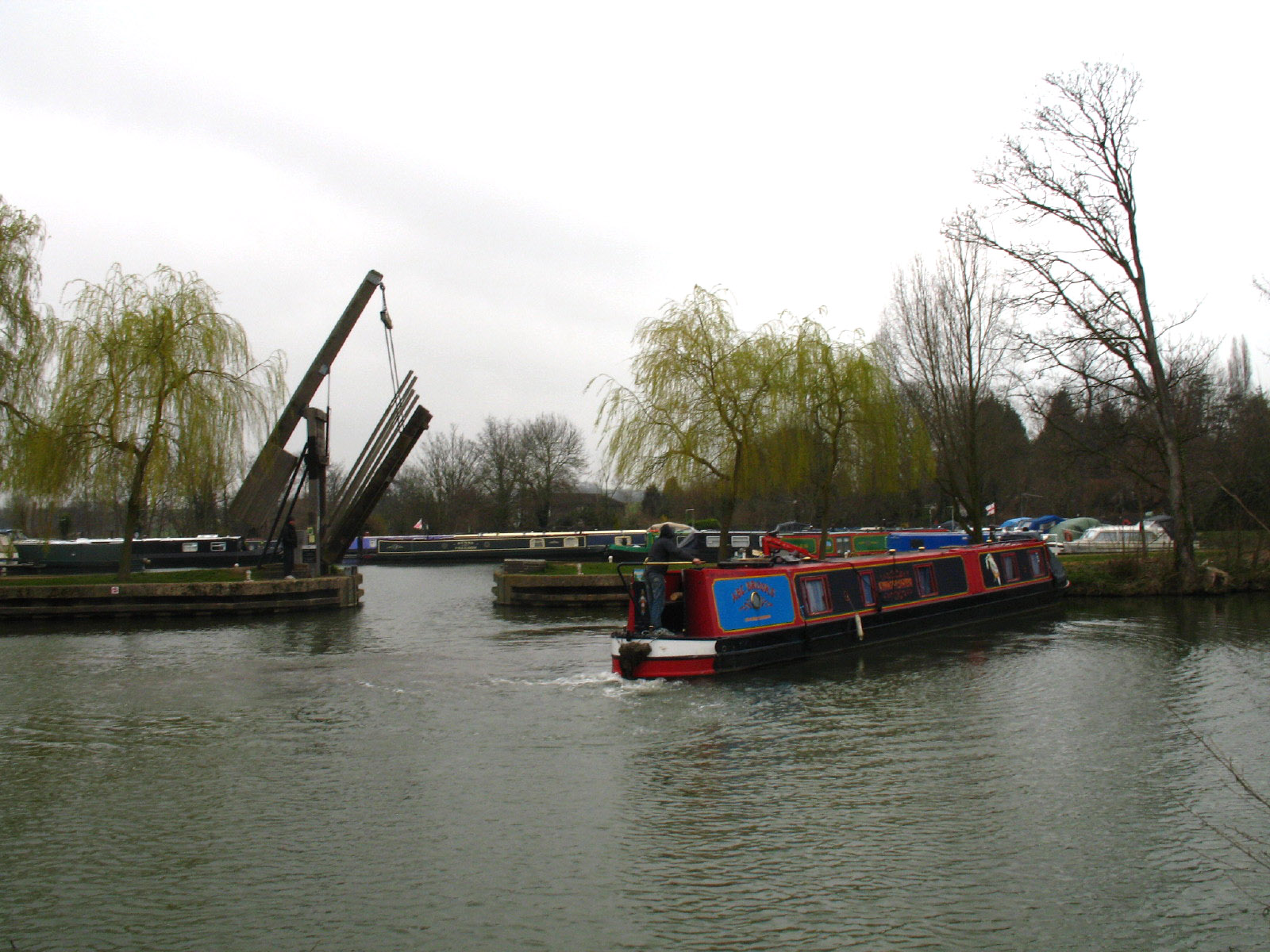
Very soon we are confronted with a closure of the towpath. Just 20 metres of the
path was closed, but the result was a 1300 metre diversion alongside this road.
If there had been road workers, there would have been a speed limit, but with
walkers pushed onto the barely adequate verges, cars and lorries were flying
past at 60 miles per hour. The sign announcing the closure was in two parts -
the first announced that the towpath would be closed at some point in the 6
months from mid-March, and that the works would last two weeks. What on earth is
the point of an "advance notice" like that? It doesn't enable anyone to plan for
anything. Fortunately, the second half of the notice did at least say that the
works were now in progress, though didn't say when they had started or would
finish.

The diversion of the River Stort Way - very scenic!
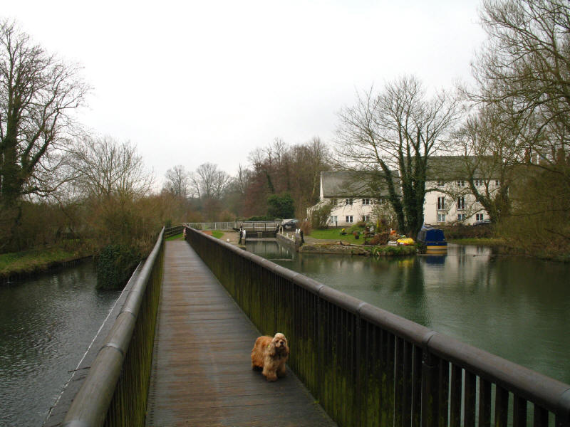
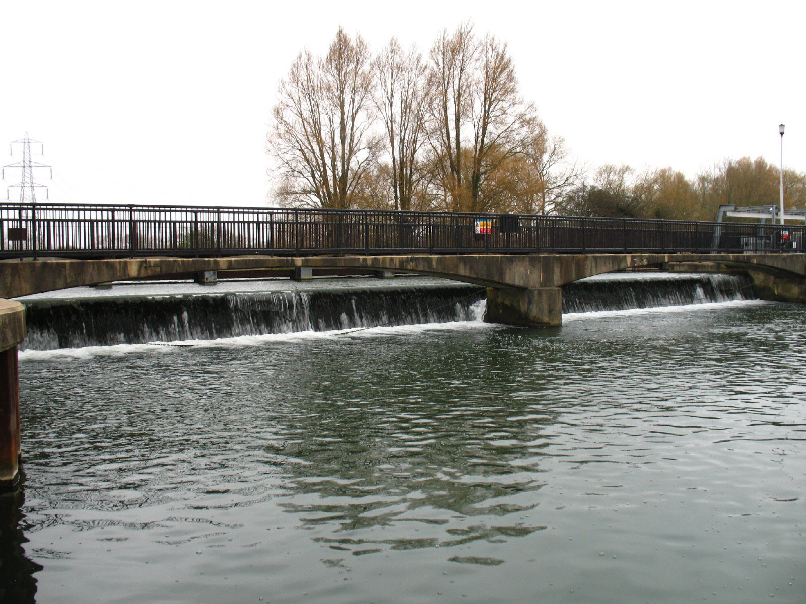
Safely back by the river, and we reach the second lock, Twyford Lock, viewed
from the footbridge over the weir-stream.

A feature of the early part of the walk was aeroplanes - starting close to
Stansted Airport, they were almost constantly overhead.
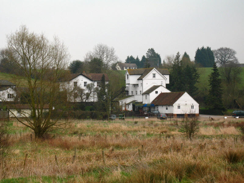
As we walk past Tednambury Lock, a look across to the mill at Gaston Green
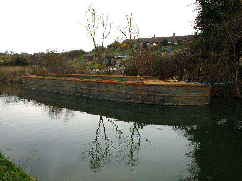
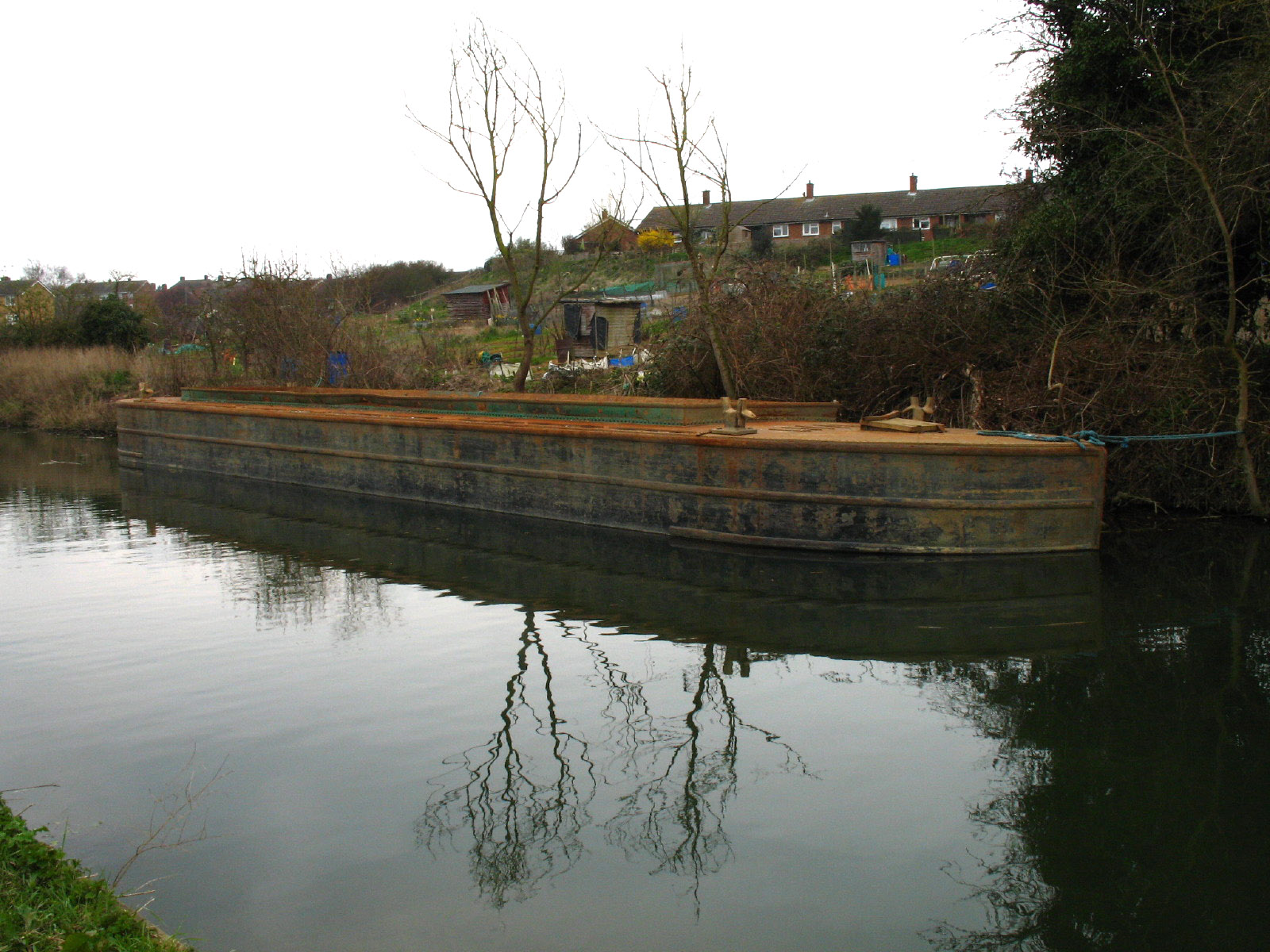
As the houses of Sawbridgeworth draw nearer, a British Waterways barge lies
against the offside.

A little basin among flats in Sawbridgeworth, with a red narrowboat just peeking
into view.
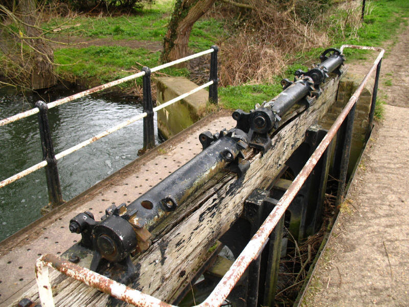
Disused paddle gear to control the overflow weir
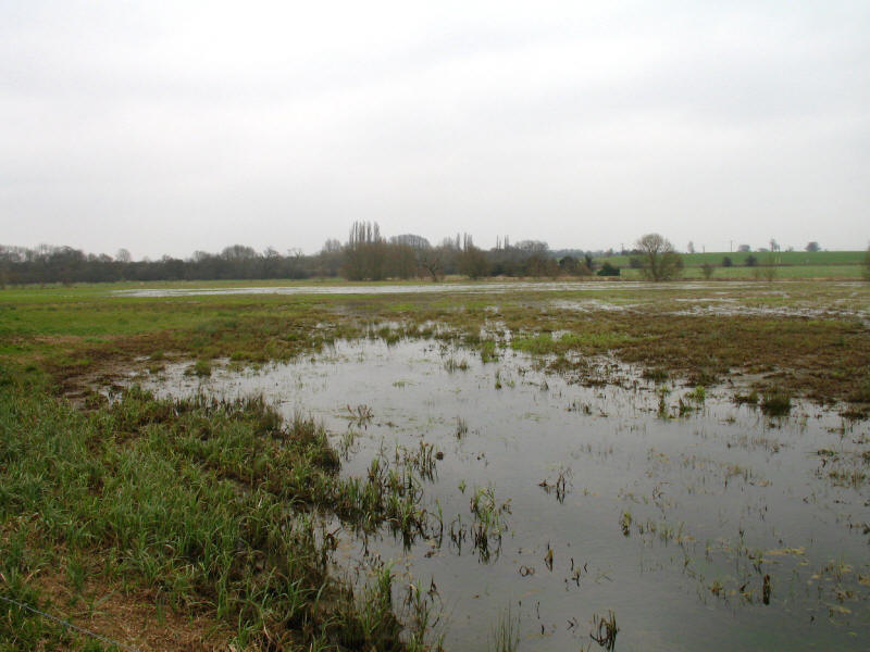
The floodplain as we approach the outskirts of Harlow

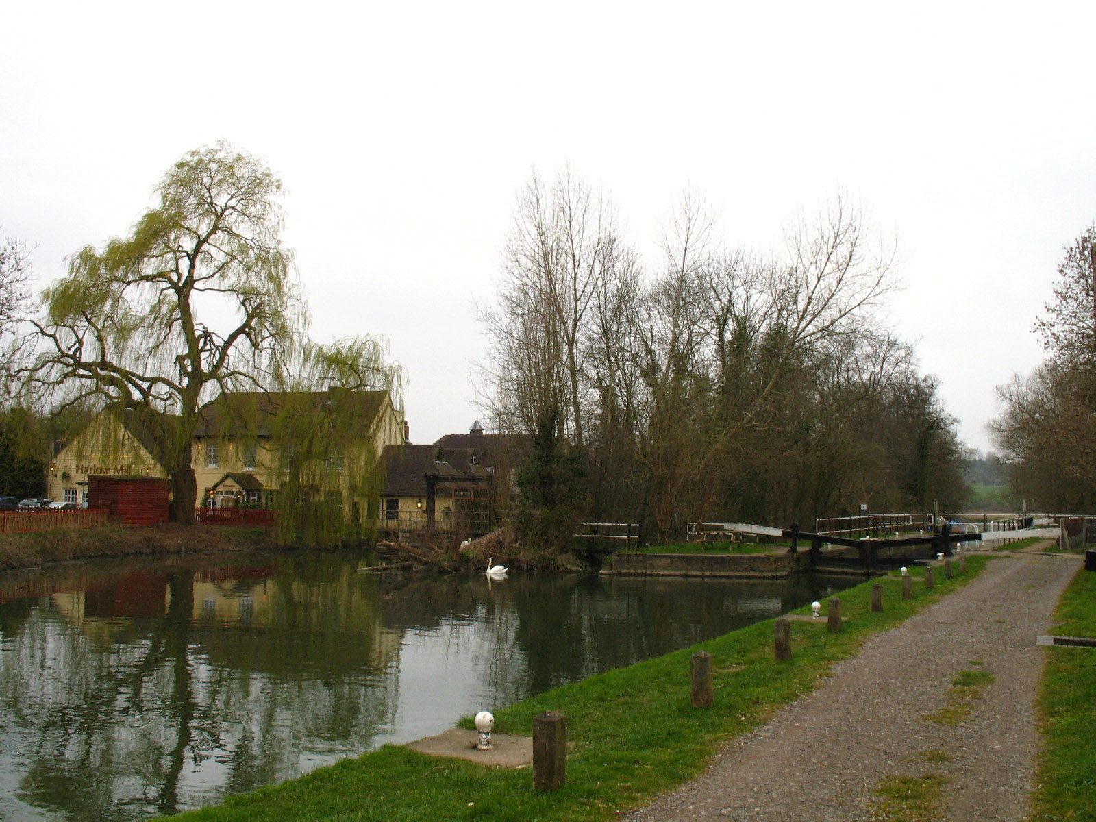
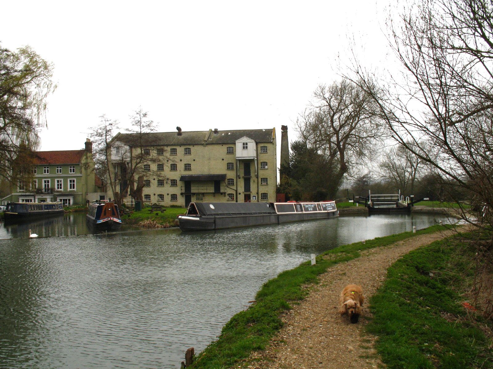
Harlow Mill, now a Beefeater restaurant, and Harlow Lock. Very efficiently, as
well as walking the River Stort Way, we are also now walking part of the Three
Forests Way and the Harcamlow Way.

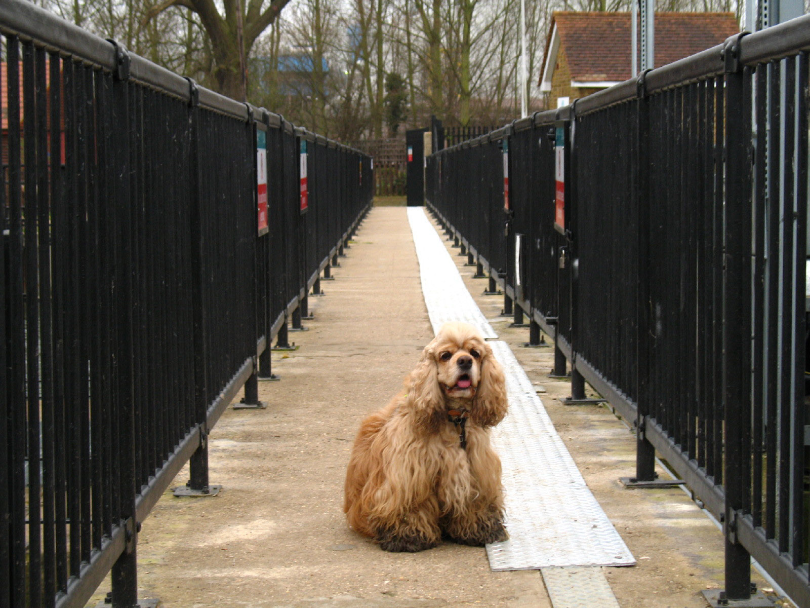
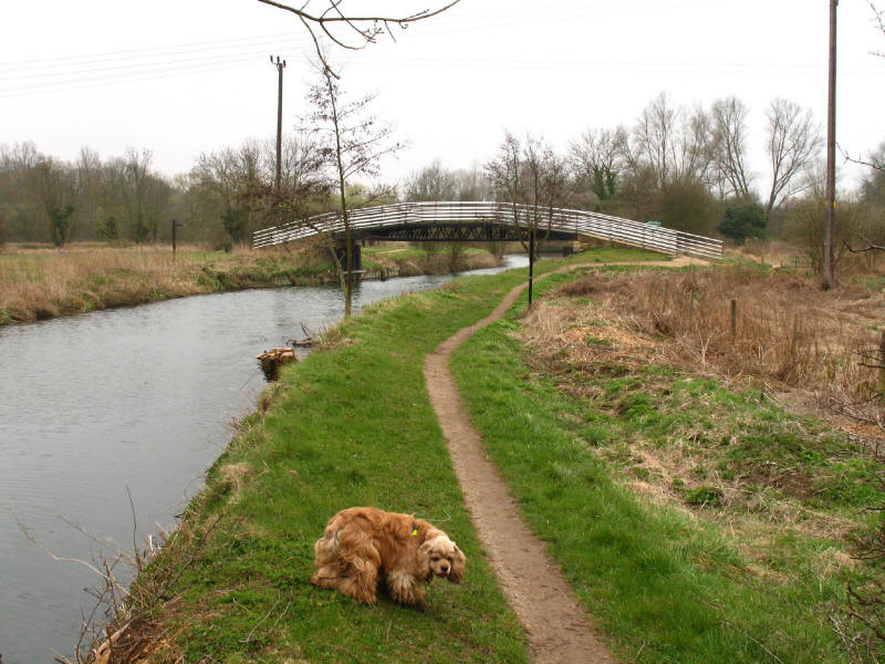
George on a footbridge as the River Stort skirts the northern edge of Harlow
Below Latton Lock, a footbridge is about to take the towpath back to the
southern side of the river
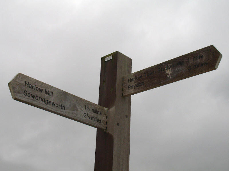
Roydon, 3 miles, is our next destination: the signs have already stopped signing
Bishop's Stortford
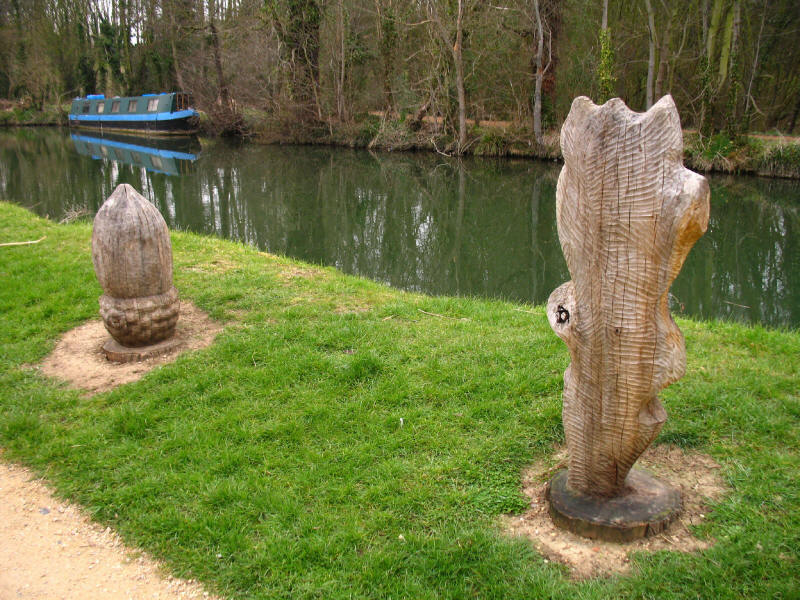
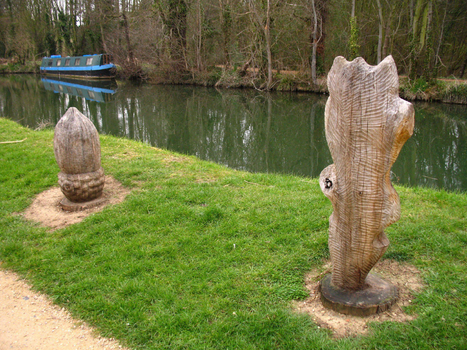
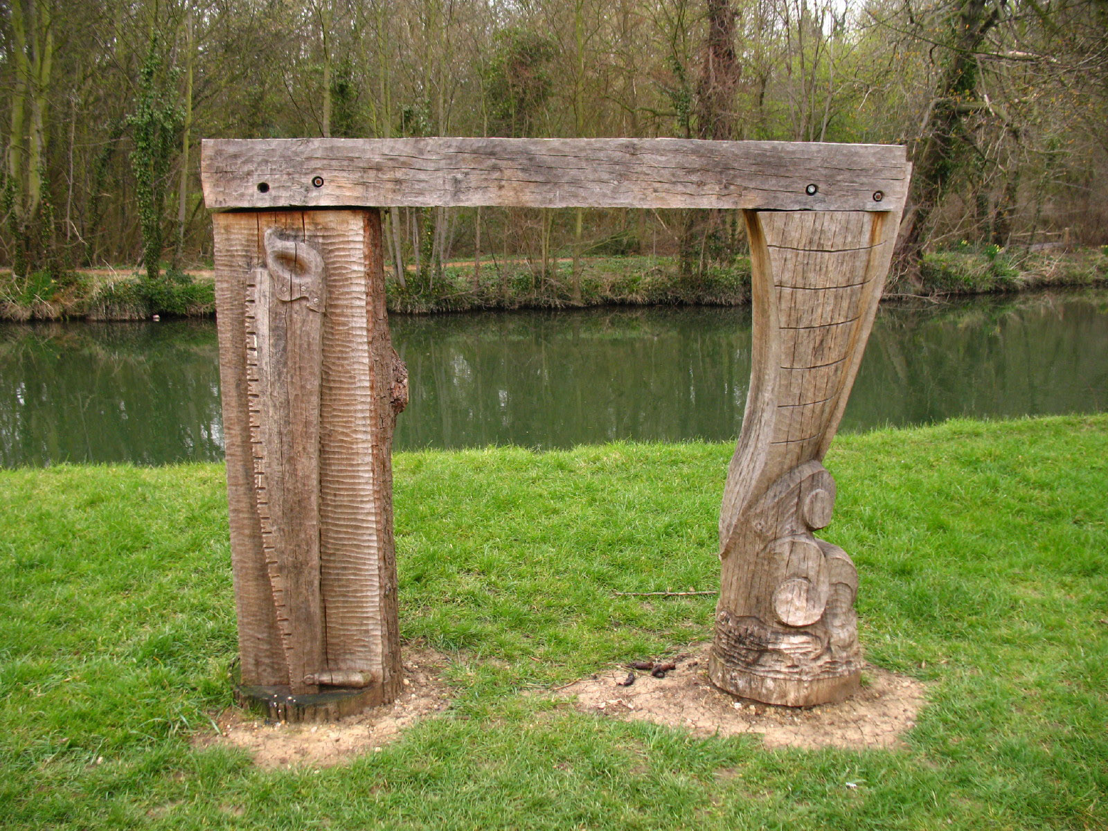
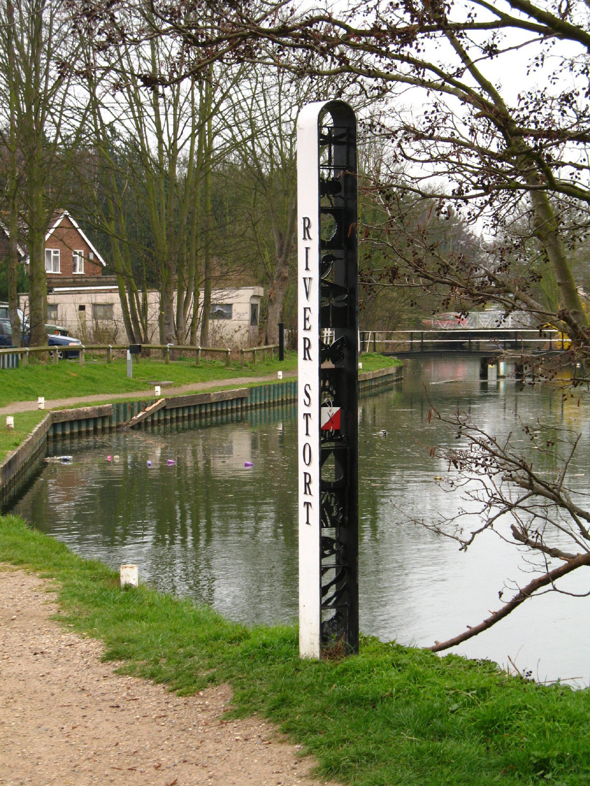
As we approach Burnt Mill Lock, a number of wooden carvings are to be found near
the River Stort

More wooden art
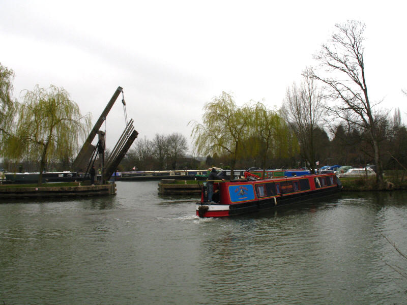
A boat, presumably eventually aiming for the gap into the marina

More art in this attractive River Stort marker

From the western end of Harlow to Roydon, George and I are on familar ground,
having walked this section of the River
Stort Way two years ago. Here we have reached Parndon Mill and Parndon Lock.

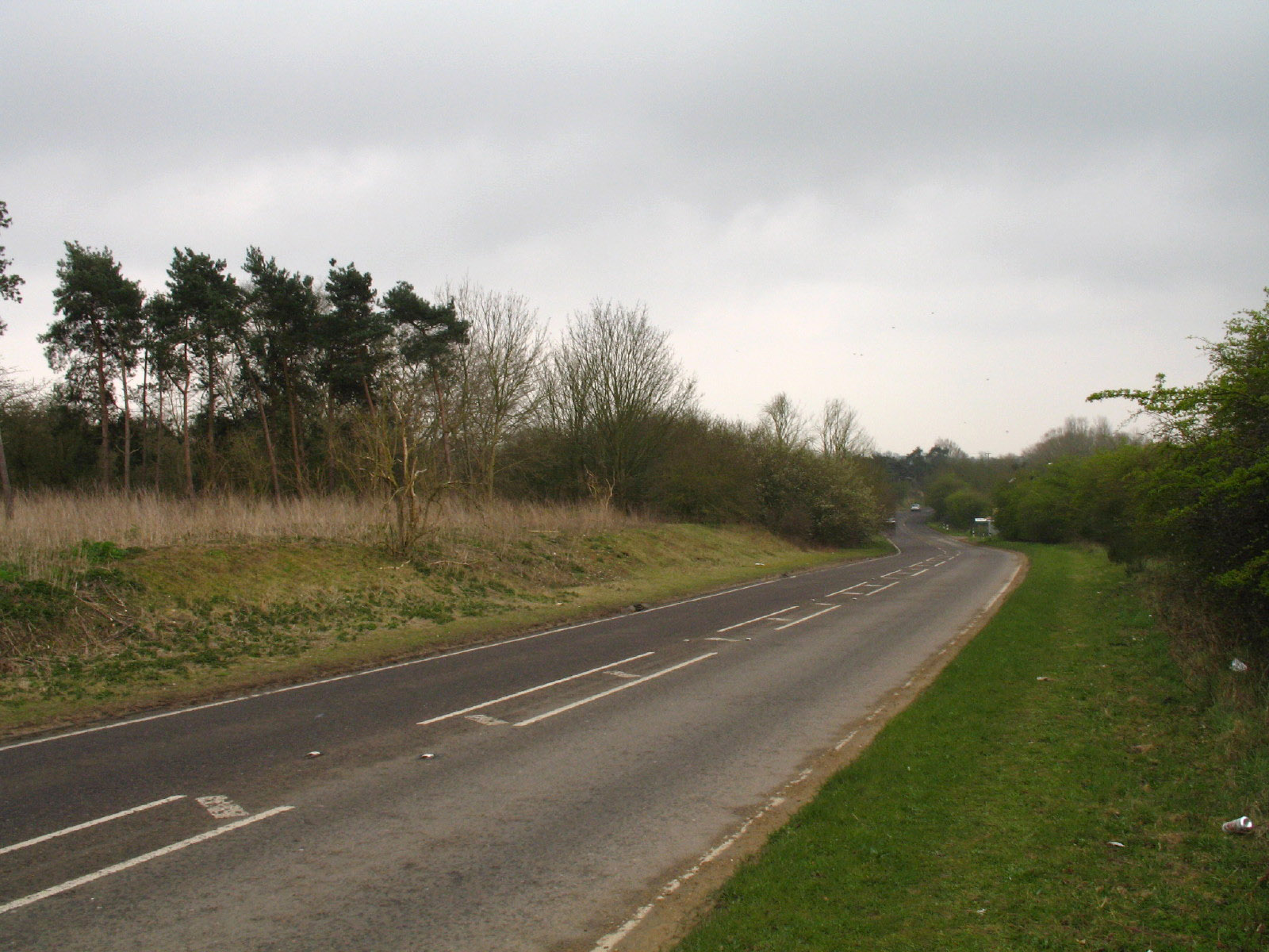
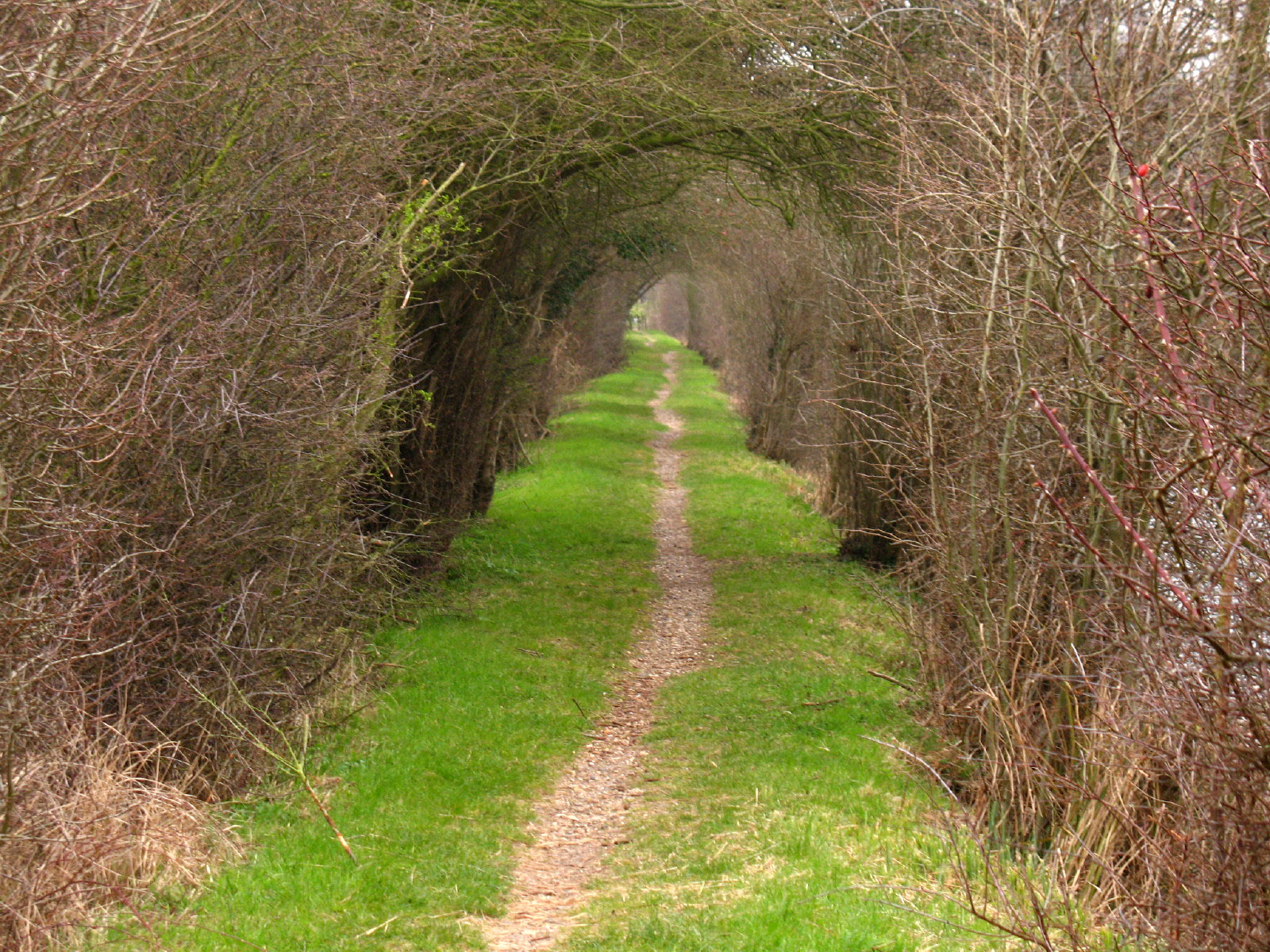
Once past the section of the Way that runs alongside the A414 dual carriageway,
we pass Hunsdon Mill Lock and then enter this section of the towpath, which is
almost a tunnel with the vegetation on both sides.
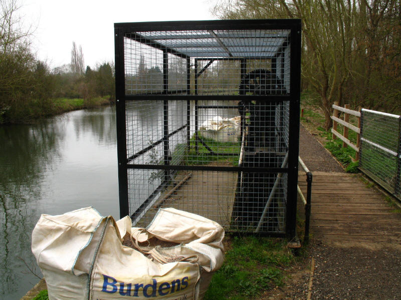
When we last passed this way, these large cogs and paddles were open to the air,
but someone has dictated that they should be protected inside this ugly wire
cage, which take away most of the beauty of their simple engineering
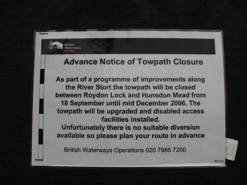
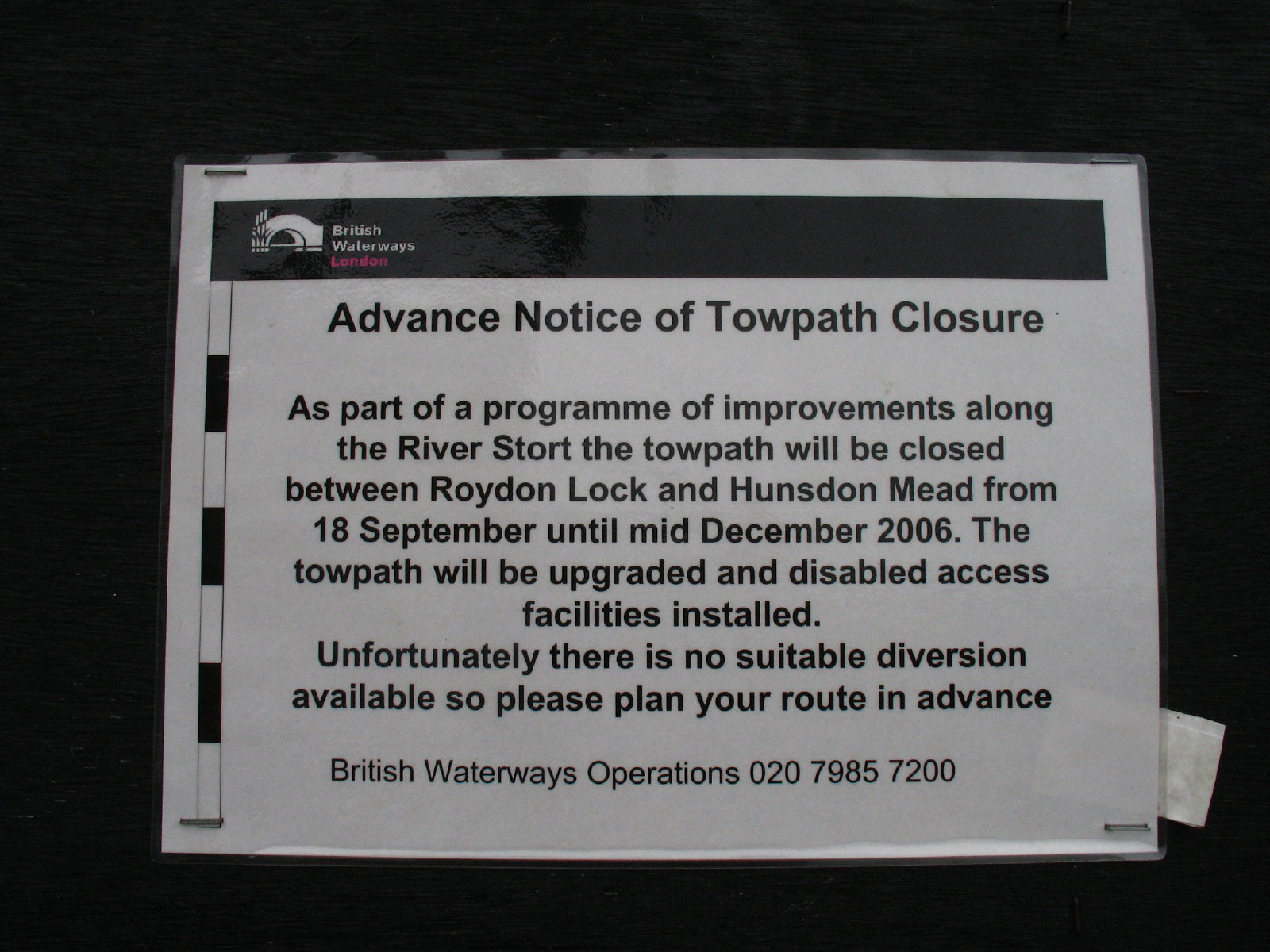
This out-of-date notice is even more annoying that the one in Bishop's Stortford
- we've closed the towpath for three months, there's no way round, so tough!
Fair enough for people regularly using this bit of towpath, but for occasional
travellers such as myself (who I suspect make up a large proportion of
travellers on an isolated bit of footpath) it is useless - either you are lucky
as we were to find that the closure is over, or you are unlucky and find such a
notice and blockage. In fact, there look to be several ways round using
footpaths on the south side of the river, so it wouldn't be a disaster, but is
it really impossible to carry out such works without closing the footpath?
We now say goodbye to the Three Forests Way and the Harcamlow Way, which we have
also been walking since we left Sawbridgeworth. Maybe one day, but for now, on
with the River Stort Way.
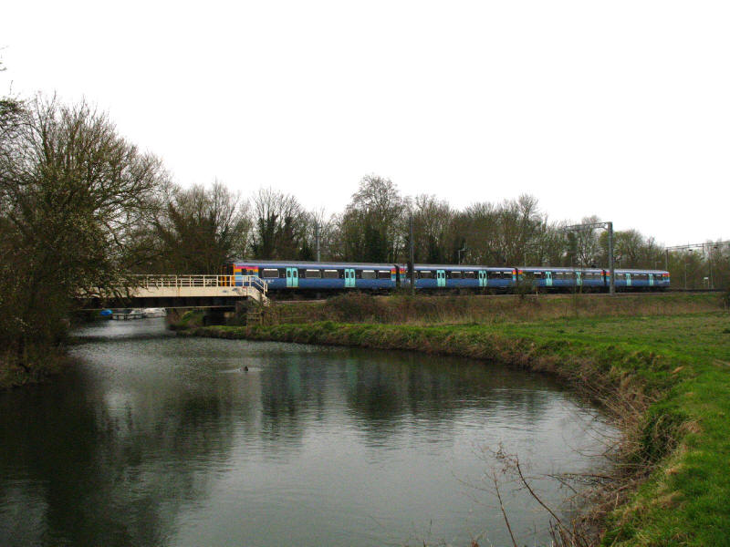
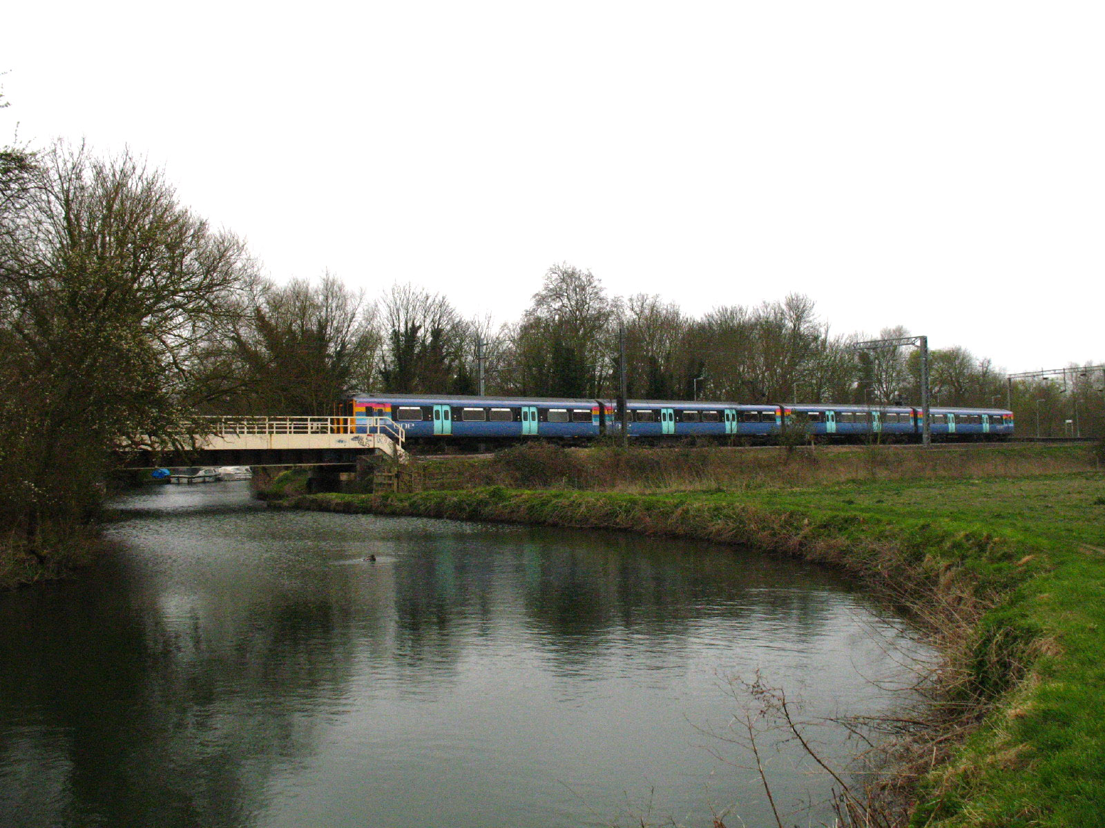
A 'One' train from Cambridge passes over the River Stort and through Roydon
station on its way to London.
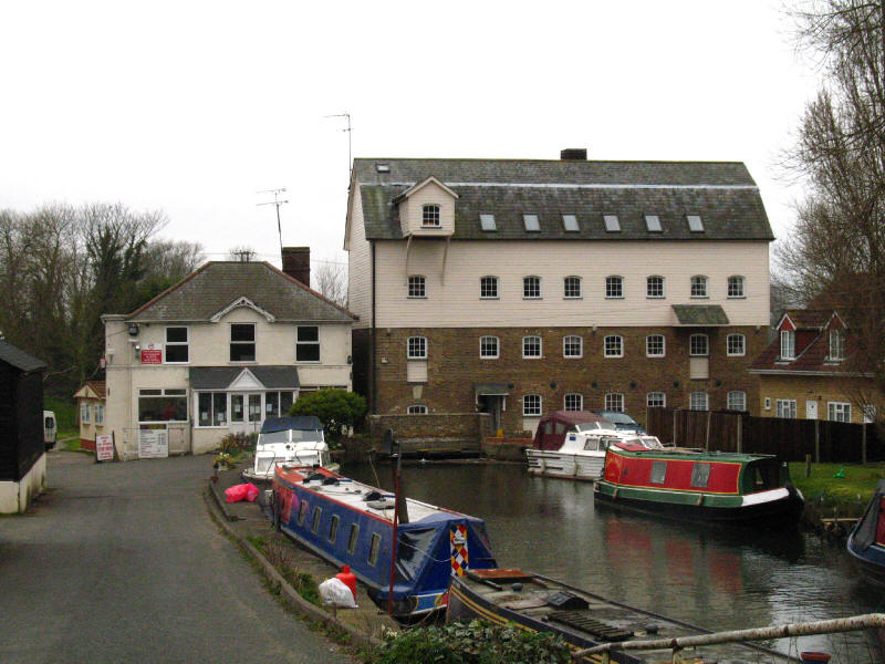
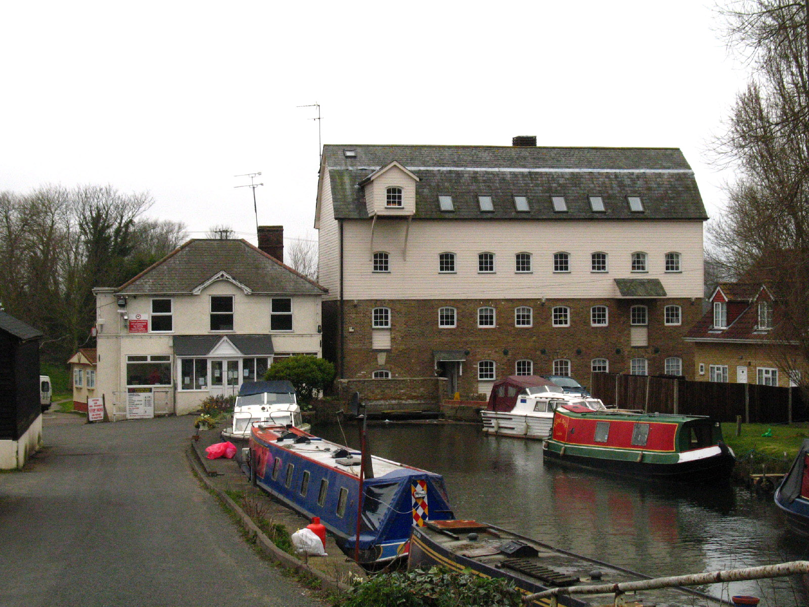
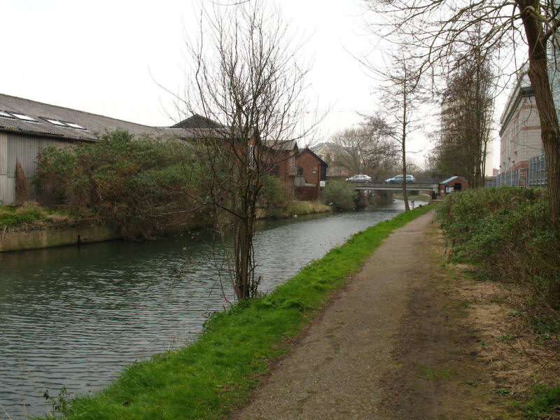
Through the village of Roydon and George and I are on new ground again. Here we
reach Roydon Mill
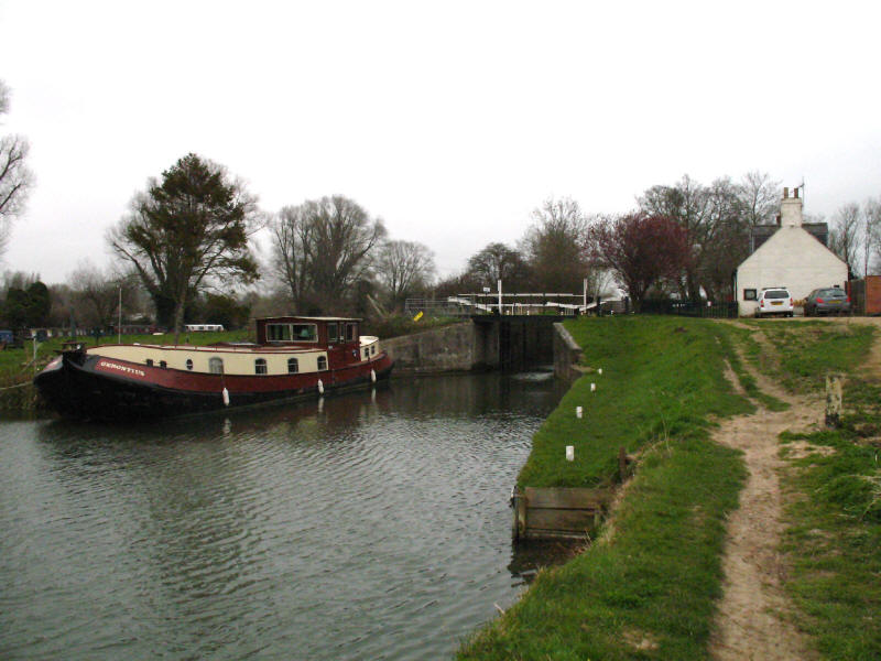
Gerontius is moored below Brick Lock
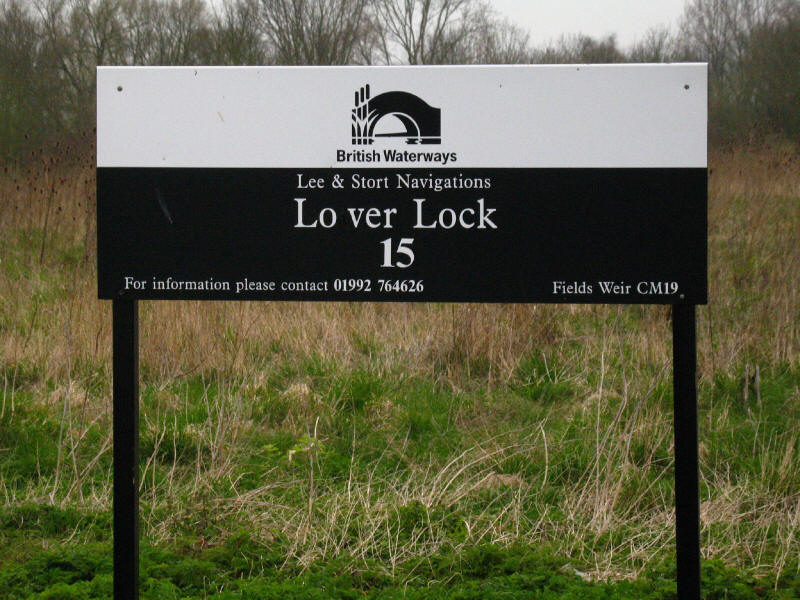
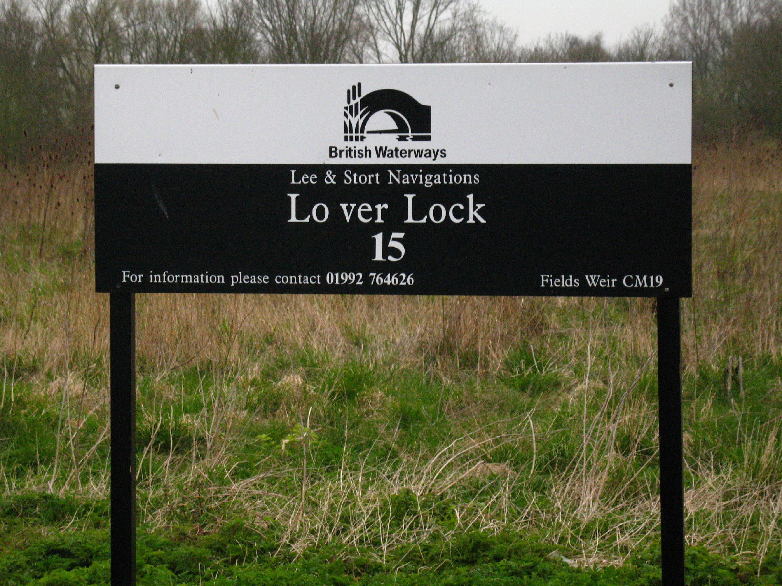
Lower Lock, number 15 of our walk and the River Stort Navigation, is the last
before the Stort meets the Lee

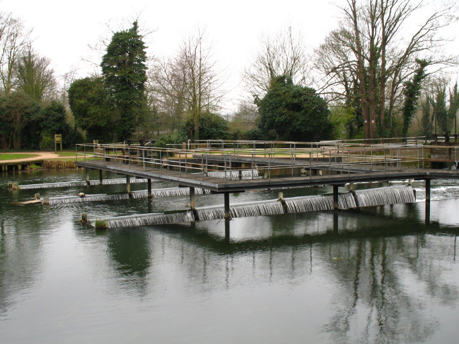
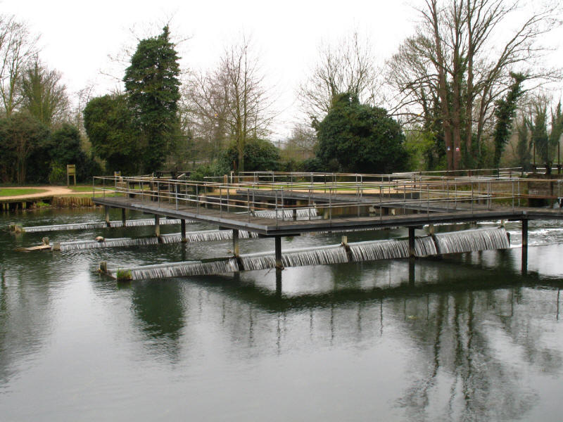
George on the bridge above Feilde's Weir - a rather confusing location since as
well as the point where the Stort meets the Lee, it is also the site of Fielde's
Weir Lock on the Lee, and the point where the Lee Flood Relief Channel starts.
Perhaps we missed the signs, but once across the weir, the Stort Way traveller
is rather abandoned, with no advice to be seen on how to find the River Lee
Walk.

Part of Feilde's Weir
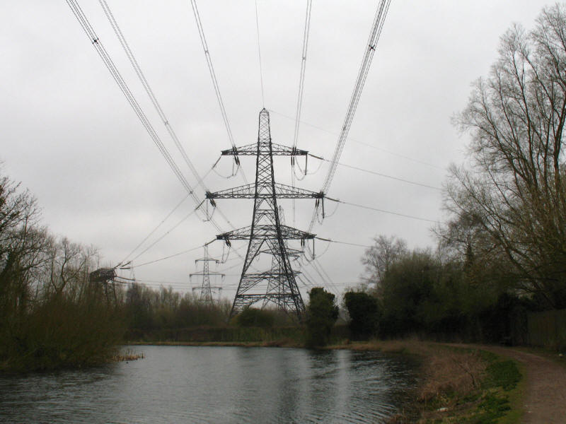
Having eventually found the River Lee Navigation, we continue southwards under
loudly buzzing power lines heading for Hoddesdon power station
We manage to shake the power lines off, and reach the ever delightful Dobb's
Weir and the end of our walk. It was a shame the weather wasn't quite as good as
originally predicted, but it was a pleasant walk.
Total 22.7km (nominally downhill all the way) taking 5 hours 55 minutes
(including 65 minutes stopped) - George's longest walk, and probably Stephen's
longest since 1996, helping to build up a bit of stamina!
|