Cleeve Hill
18 January 2009
A spur-of-the-moment decision was made to somewhere
"different" for a walk today, and Stephen picked Cleeve Hill on the edge
of the Cotswolds escarpment. Stephen had been here in November 1996
(when it was snowing), and enjoyed the walk, but wasn't sure he had ever
visited the highest point, so a fresh visit was called for.
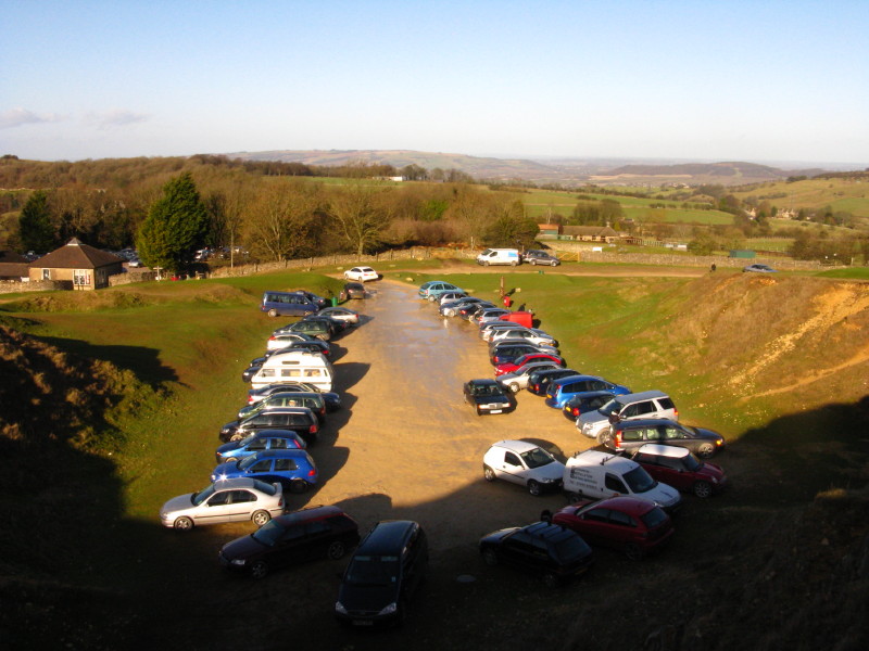
The car park in an old quarry above the village of Cleeve Hill near the golf club, from where we started our walk.
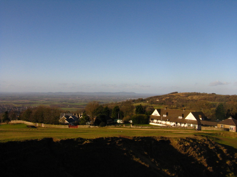
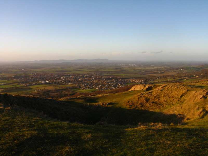
Past the golf clubhouse across the wide flood plain of the Severn to the Malvern Hills
We followed the course of the Cotswold Way rather uncertainly and cautiously across the golf course, after which we have a steep plunge down there into the valley of the River Isbourne.
We have now lost over 100 metres of height since the start (always an odd way to begin a walk), and make our way around this limestone wall
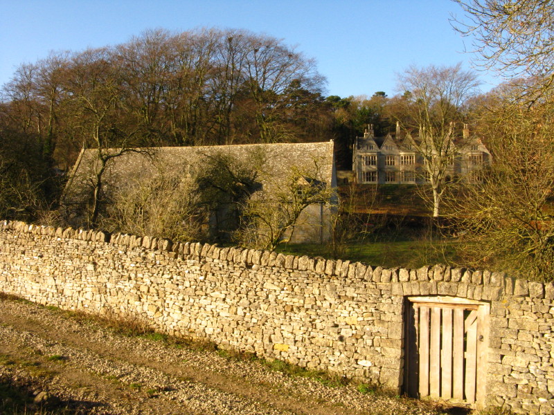
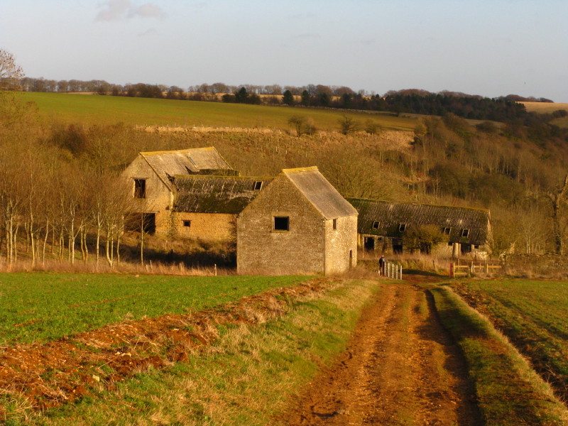
Beyond the wall we can see a tithe barn and Postlip Hall. A medieval Hall House, probably dating from the fifteenth century, is hiding inside the NE corner of the Hall. The much grander Jacobean frontage was built by Giles Broadway, entrepreneur and chancer, in 1614. The origins of the Tithe Barn are uncertain - it is believed to have been built at some time between 1140 and 1400.
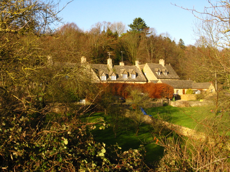
More houses at Postlip
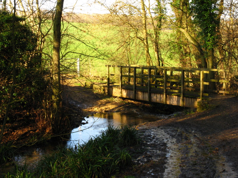
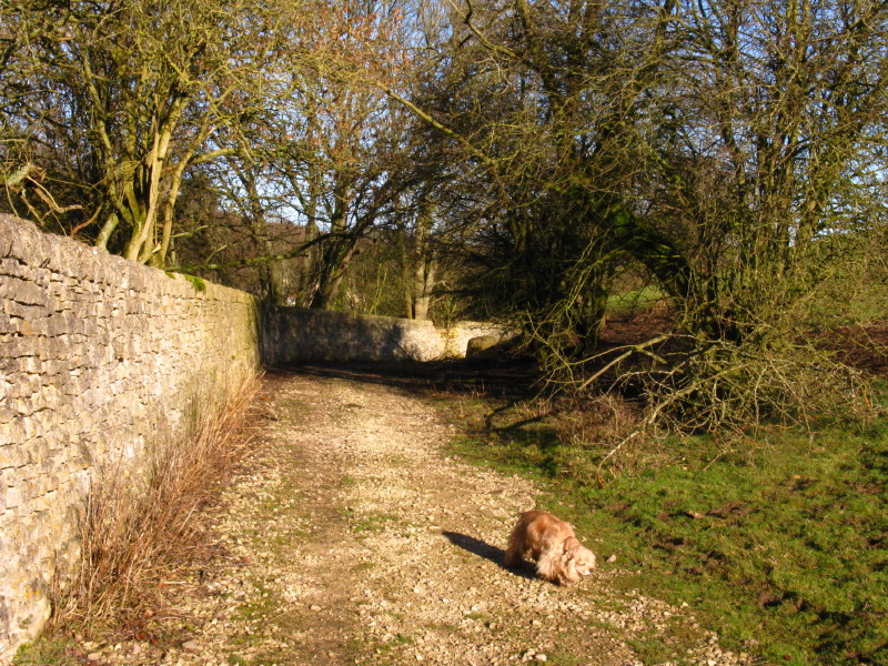
From there we passed through a farm and then down a hill to cross a tributary of the Isbourne.
We ascended through woodland to reach a minor road, where there were more signs for the Cotswold Way. Our map didn't show this as being the route of the Cotswold Way - subsequent invesitgation showed that the route has been changed, partly to protect the Site of Special Scientific Intererest from extra visitors, and partly because National Trails are supposed to be on public rights of way, whereas part of the route we had followed was a permissive path on Access Land. You can find out more about the route change on the National Trails website.
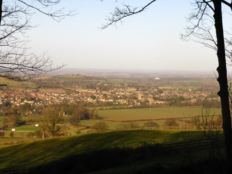
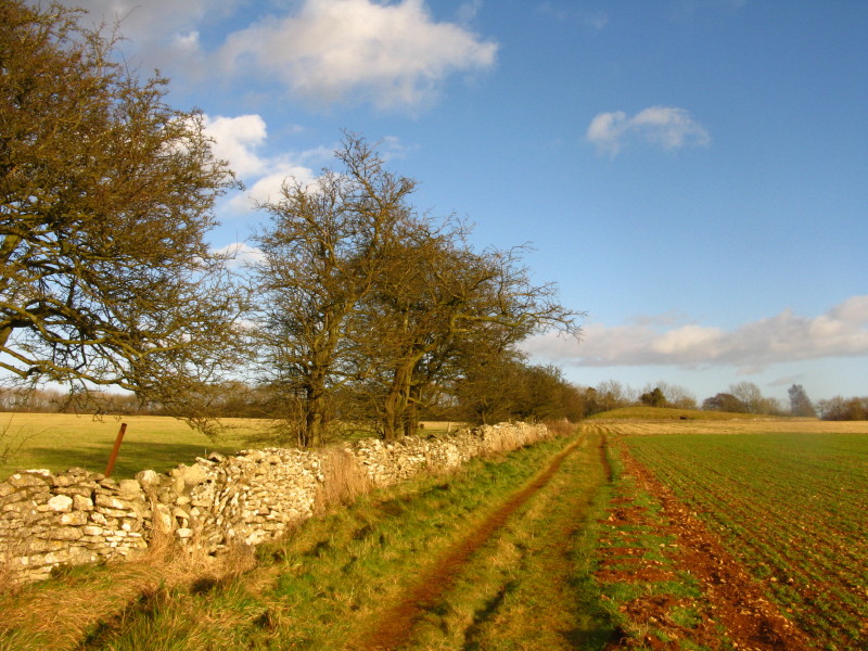
We then followed a minor road for a little over a kilometre, with views to the northeast over Winchcombe
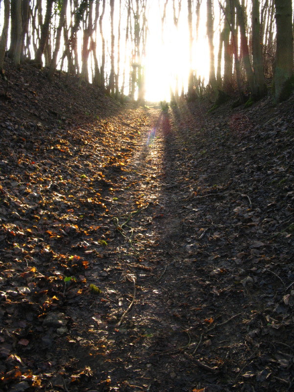
Turning away from the road, we headed steeply up through woodland. We have now regained the Cotswold Way, but after a walk along the road, are now heading "north to south" rather than "south to north" along its route. As we are now on a public footpath, we ignored the sign saying that dogs were only admitted on a leash, and headed towards the sun.
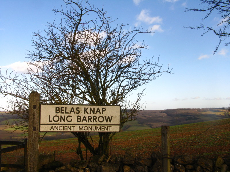
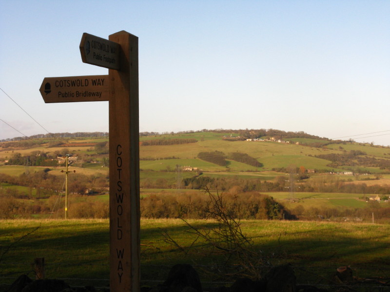
Emerging from the woodland, a pleasant but windy ascent on grass took us past this old sign, pointing to our next destination.
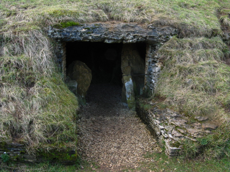
Belas Knap is a neolithic long barrow: "Belas" may be derived from the Latin word bellus, 'beautiful', which could describe the hill or its view; "Knap" comes from the Old English for the top, crest, or summit of a hill. This is the entrance to one of the four burial chambers.
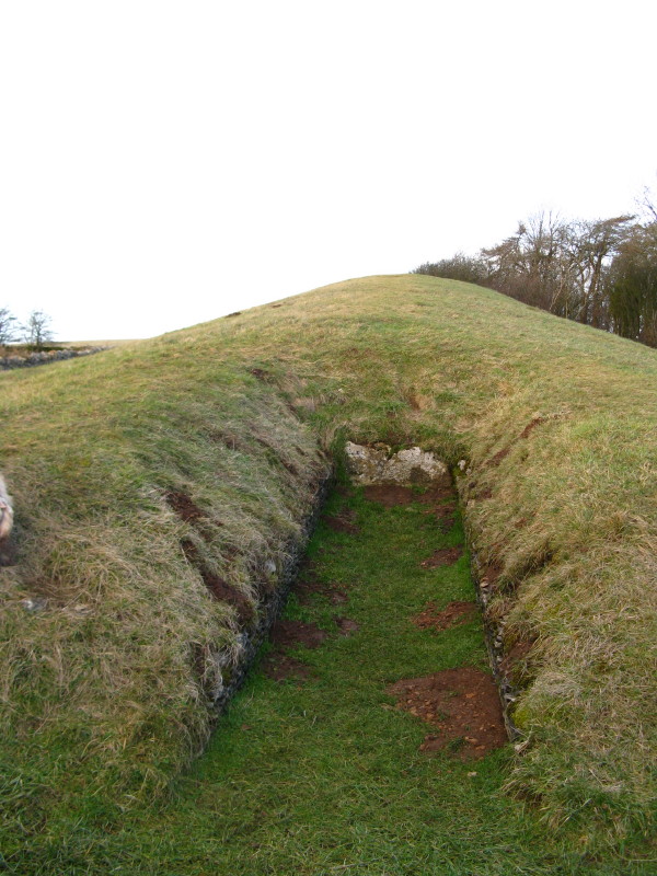
The southern end of the long barrow. It is 54 metres long, 18 metres wide and over 4 metres high. A number of excavations have taken place, finding the remains of around 40 people, and associated artefacts from around 2000 BC.
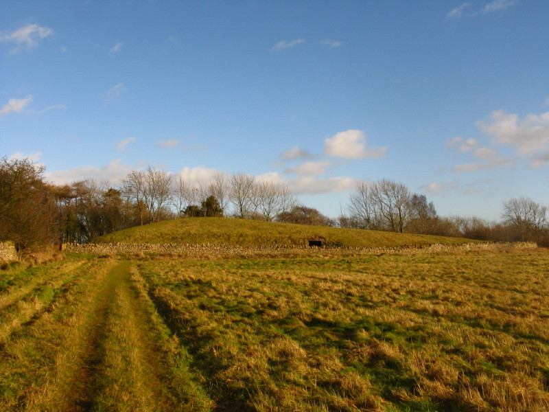
A look back to Belas Knap.
A dry stone wall and some very knarled trees
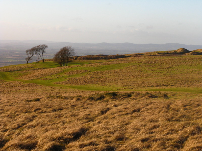
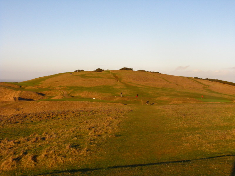
Looking down on Wontley Farm as we gain the final height to take us up onto Cleeve Common
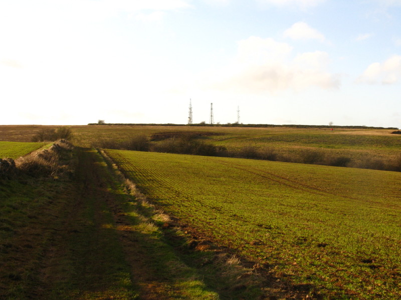
Looking towards the summit of Cleeve Common and the nearby trasmitter masts
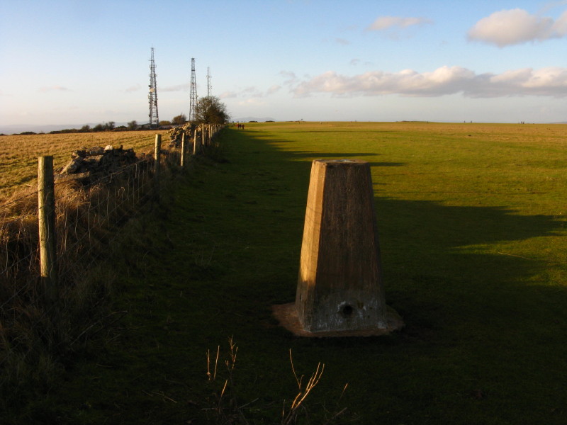
The trig point, and probably the highest point.
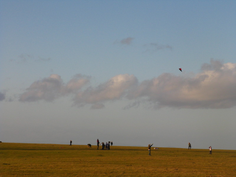
On what was a very breezy and chilly day there were several kites and model aeroplanes being flown.
Looking past an Iron Age hillfort to the Malvern Hills
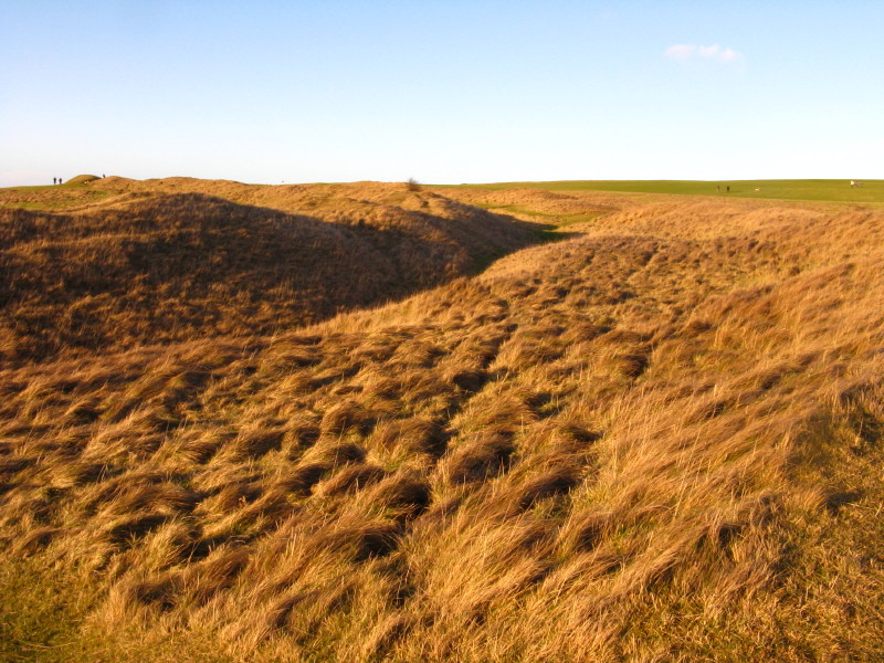
On the outer bank of the hillfort. The hillfort dates from the early Iron Age, with the ditch and bank being doubled around 100 to 200 BC.
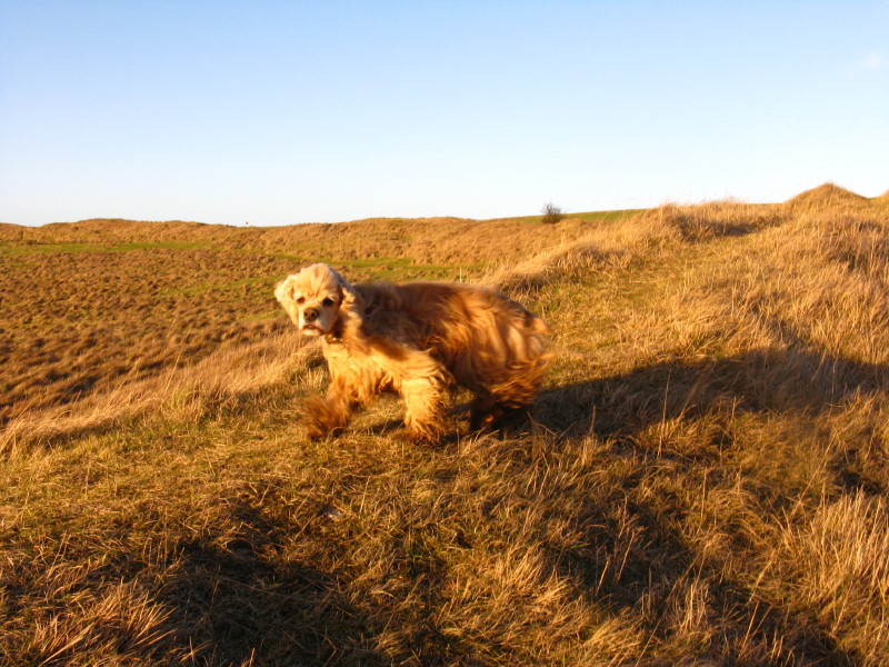
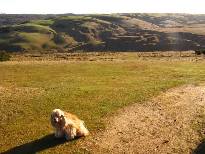
A windswept George on the inner bank
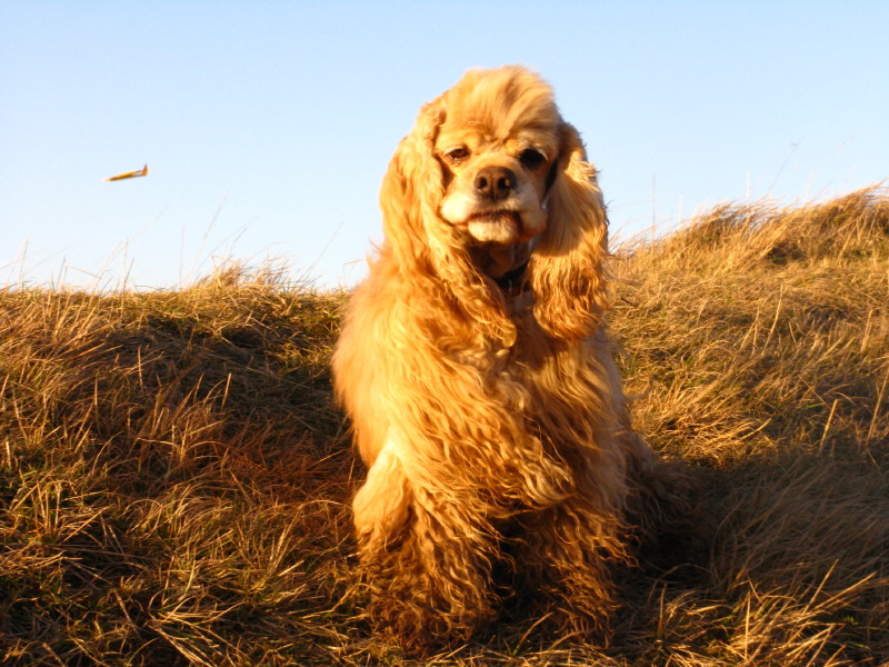
A pensive George (with a model aeroplane behind him)
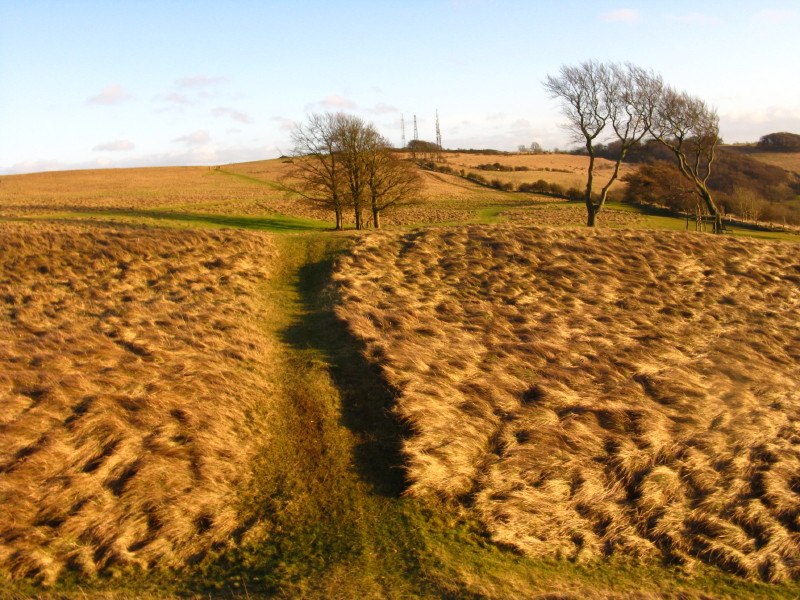
A look back over the windy hill to the radio masts
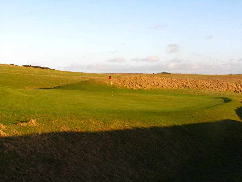
Totally incongruously, a golf green now forms part of the hillfort on the far side.
As the sun gets lower in the sky and a lovely walk comes towards its end, a look across Bishop's Cleeve to the Malvern Hills
Following the route of the Cotswold Way (once again from south to north) across the common and the golf course, towards the northern summit of Cleeve Hill
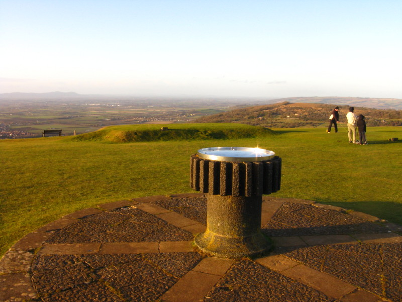
The toposcope on the top of the northern summit, with golfers for extra atmosphere. From here it is a pleasant walk down the hill back to the car park.
Zoom in for more detail, or click to view larger map in new window
A delightful outing on a beautiful day. Total distance 11.2 km and 350 metres of ascent in 2 hours 41 mins.
|