Capital Ring 6: Wimbledon Park to Richmond
9 August 2009
If the London Loop is the M25 for
walkers, then the Capital Ring is the North and South Circular Roads for
walkers, linking together green spaces to be found around London, to create a
120-kilometre inner circular walk to complement the 240-kilometre walk that is
the London Loop.
Today's walk, although stage 6 of the 15-stage walk, was for me the final link
which means I would have walked it all, albeit not in the right order.
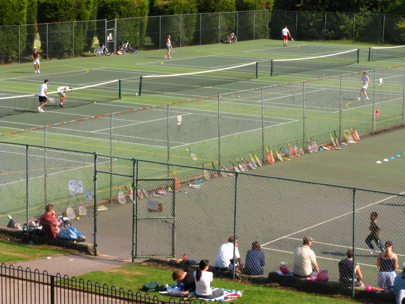
A colourful array of tennis rackets during some coaching on the courts in
Wimbledon Park.
More fun in Wimbledon Park. The park is one of London's oldest recreational
spaces, formed in the late 16th century from part of Wimbledon Common.
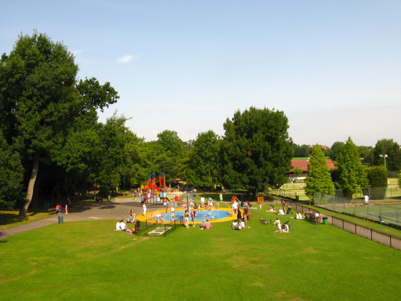
By now a familiar sight, but with an extra logo
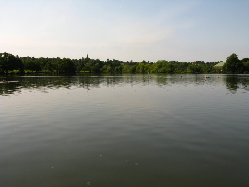
Wimbledon Park Lake with the spire of Wimbledon's church, St Mary's. The lake
was added to Wimbledon Park in the mid-18th century by Capability Brown
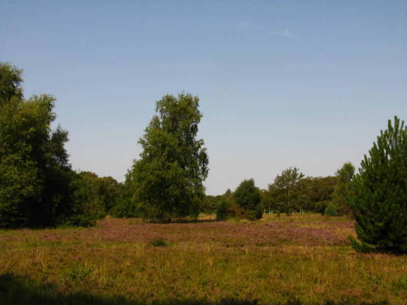
Putney Heath
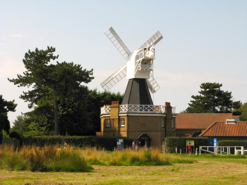
The windmill on Wimbledon Common. Built in 1817 it is the only remaining example
in Britain of a hollow post mill: the body of the mill and its machinery rotated
on a central post through which a hole was bored for a drive shaft taking power
to the machinery.
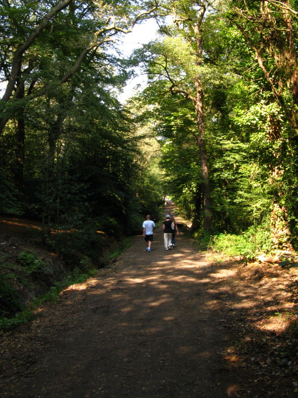
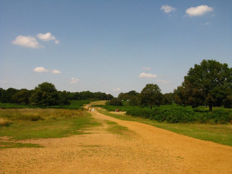
Returning to Putney Heath, descending through the trees
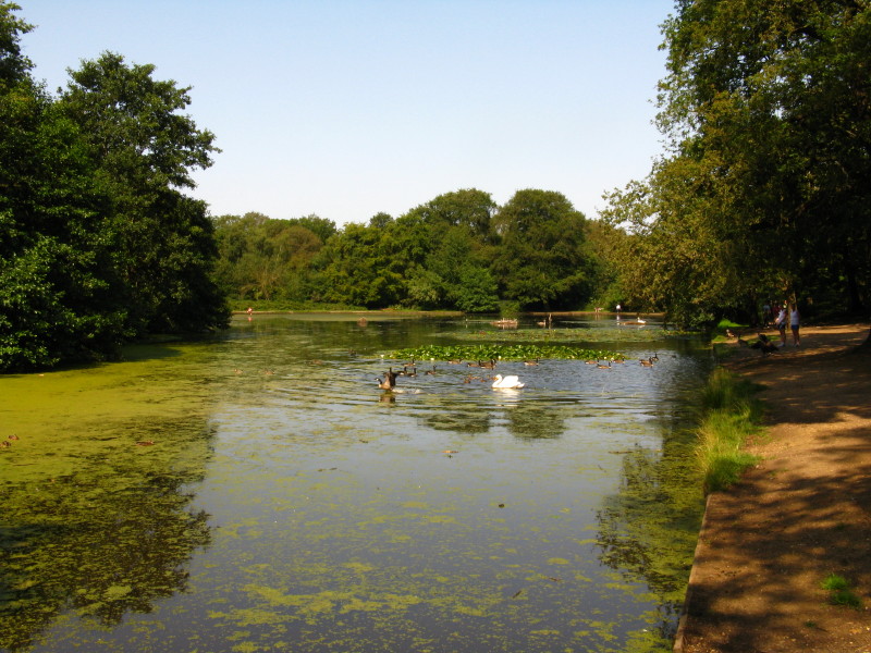
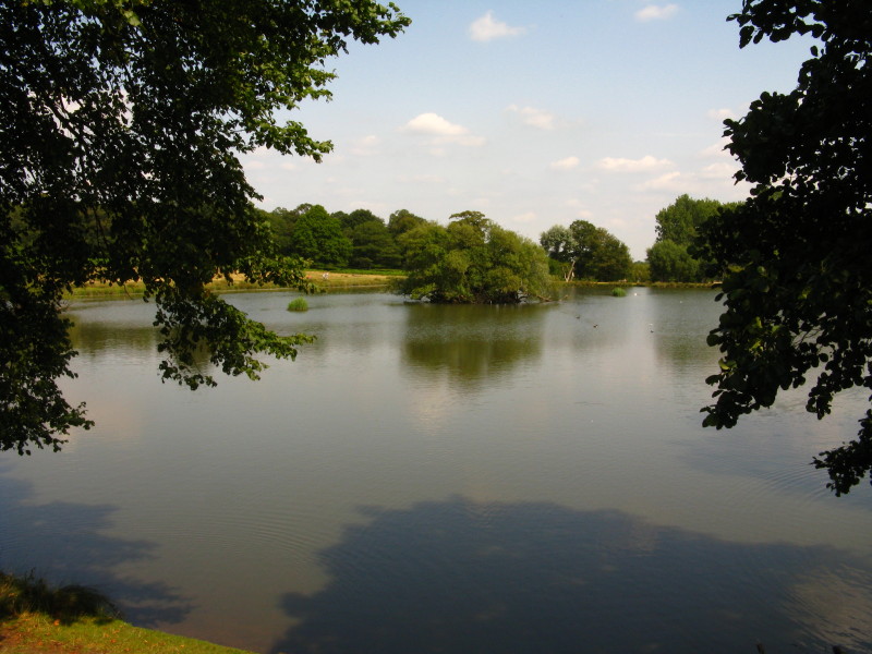
Queen's Mere, formed in 1887 by damming a stream that feeds Beverley Brook. It
is a favourite retreat of the Wombles.
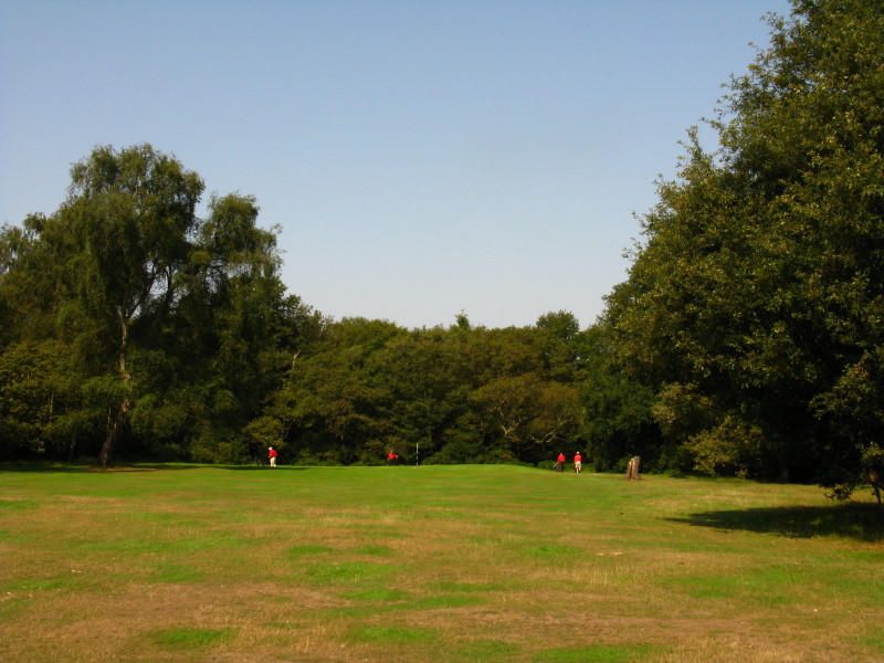
The London Scottish Golf Course - members are required to wear these bright red
tops while playing.
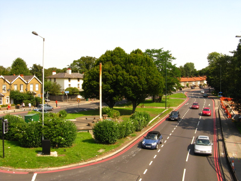
Crossing the A3
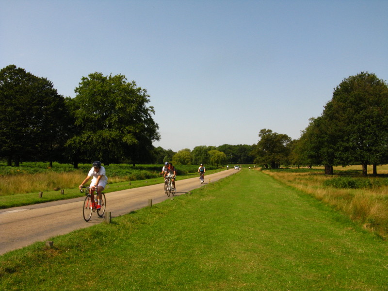
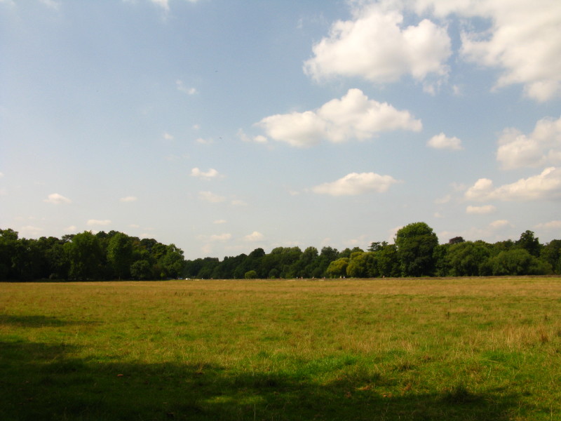
Returning to a more tranquil pace in Richmond Park. The Park was enclosed in
1637 for the sole use of Charles I. It remains one of the Royal Parks and is a
National Nature Reserve and the largest urban park in Europe at 955 hectares
(3.7 square miles).
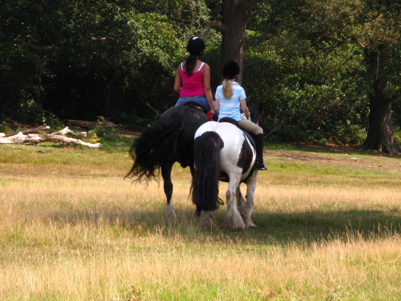
I never saw any of the deer in the park, but there were a few horses being
ridden.
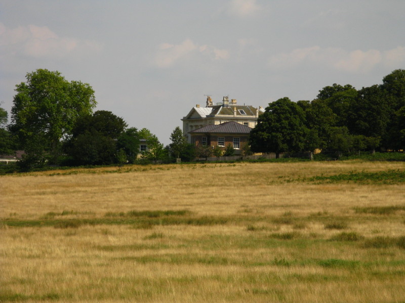
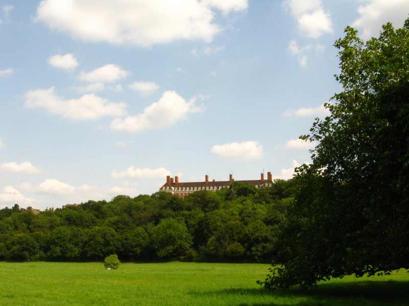
White Lodge, built in 1727 and home to the Royal Ballet's Lower School
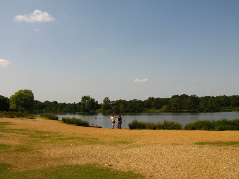
The upper of the Pen Ponds
The lower of the Pen Ponds, both formed by damming a stream but now sitting very
naturally in the landscape
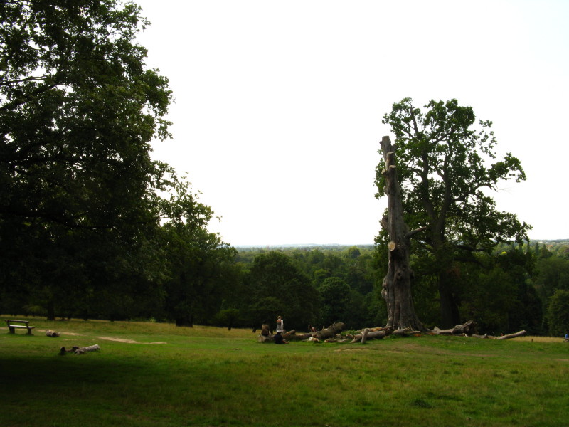
Climbing slightly away from the Pen Ponds
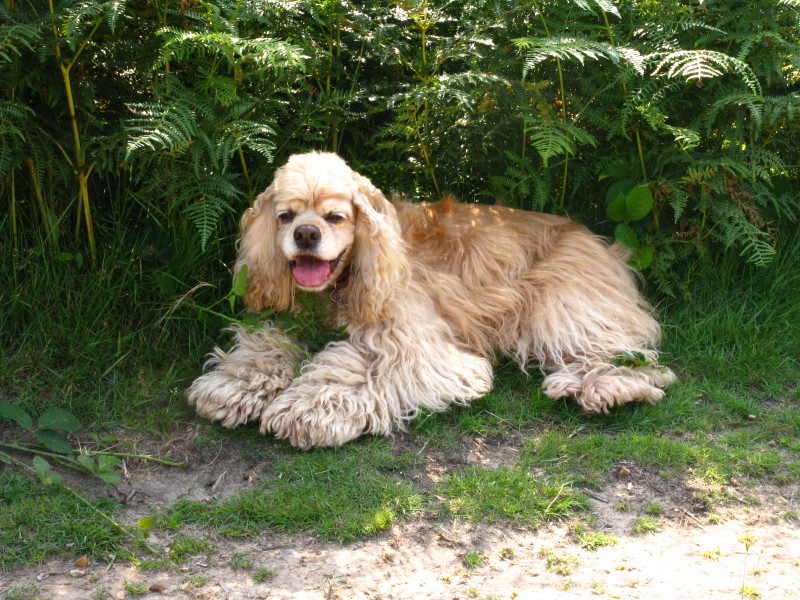
A hot George rests in the shade
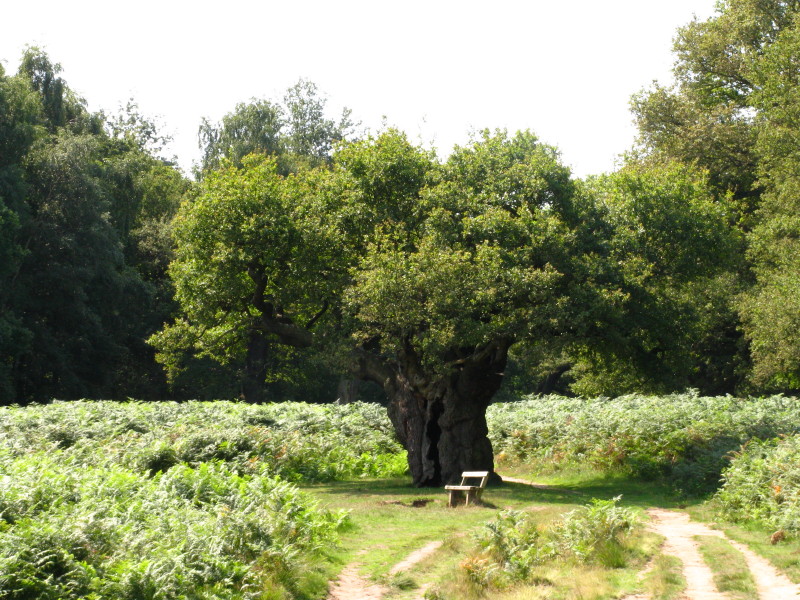
An impressively old tree
On the edge of the escarpment above the Thames, the views are extensive
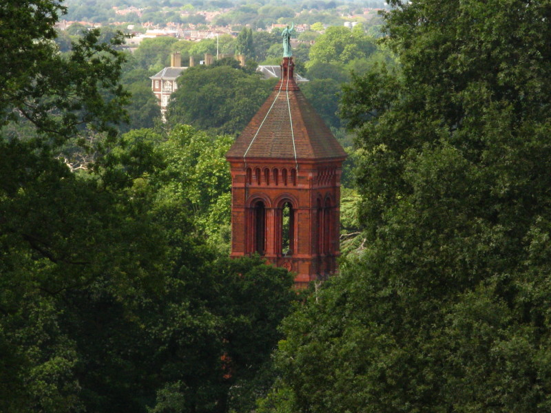
The campanile of All Saints' Church, built in 1908 to cater for expansion of
Petersham which never happened: the church has therefore been unused for most of
its life.
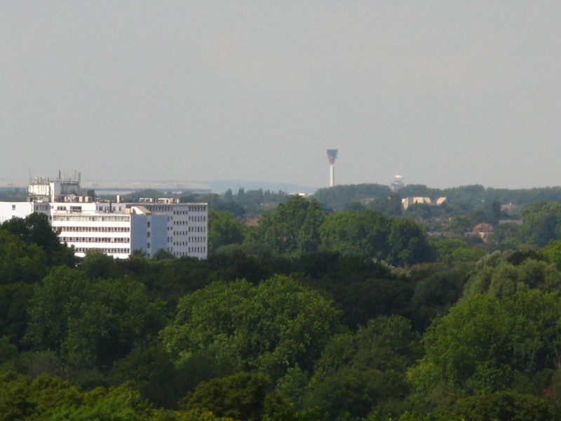
The control tower of Heathrow Airport in the distance
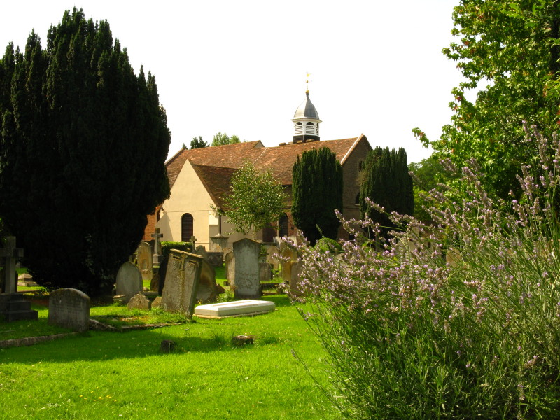
The churchyard of St Peter's
The Star and Garter Home above Petersham Meadows
The flood bank of the Thames across Petersham Meadows
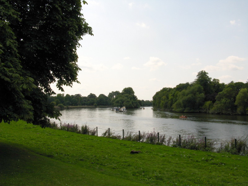
The Thames - this effectively marks the spot where I have walked right round the
Capital Ring, because the remainder of Stage 5 of the Capital Ring I walked when
I was walking this part of the Thames Path
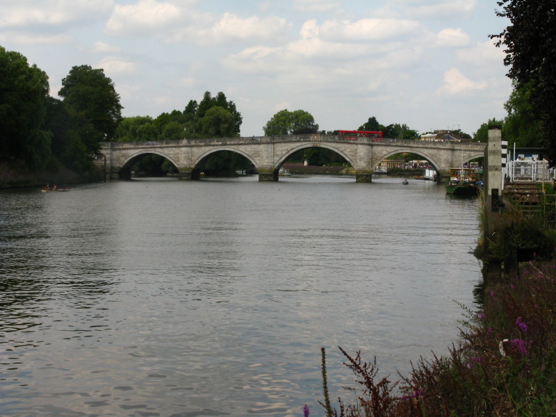
Richmond Bridge
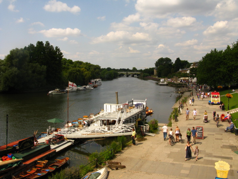
Looking down on the riverside at Richmond
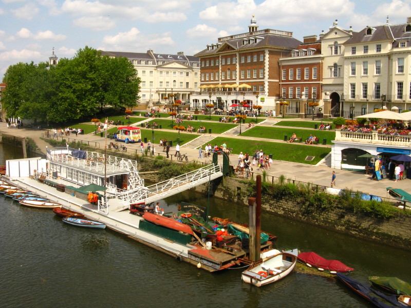
The buildings here are very attractive and offer a range of popular places to
eat.
Zoom in for more detail, or see map in larger window: Ordnance Survey |
Open Street Map |
Google Maps
Total distance walked: 13.6 km [including station links - 11.2 km on the
Capital Ring] with 179 metres of ascent in
2 hours 49 minutes.
|


