Isle of Wight Coast Path: Bouldnor to Compton Bay
15 October 2013
The second day of my walk on the Isle of Wight Coast Path began at
Bouldnor, just to the east of Yarmouth.
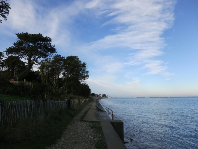
After a brief road-walk, it was down the bank to the sea front
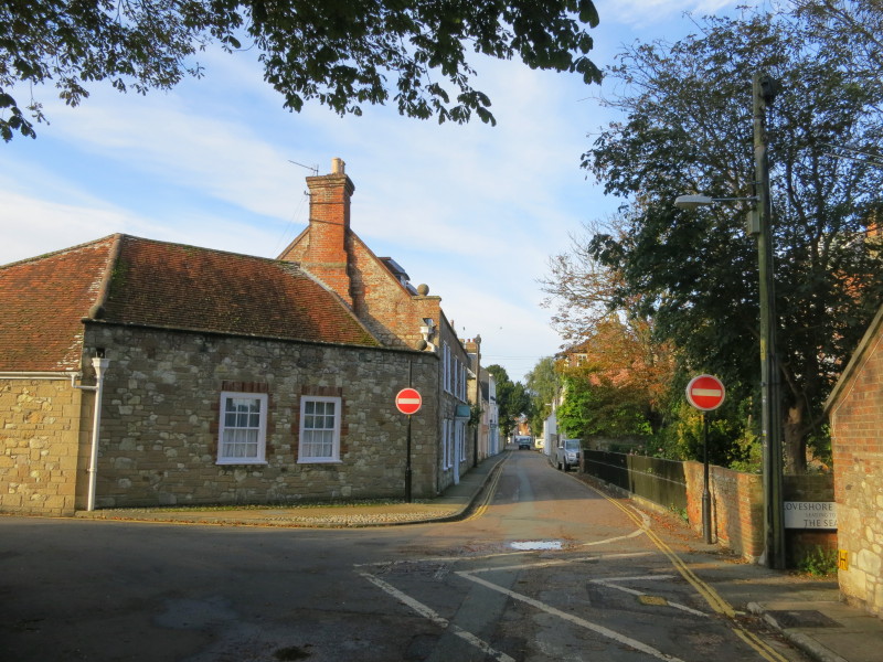
Then a walk through Yarmouth
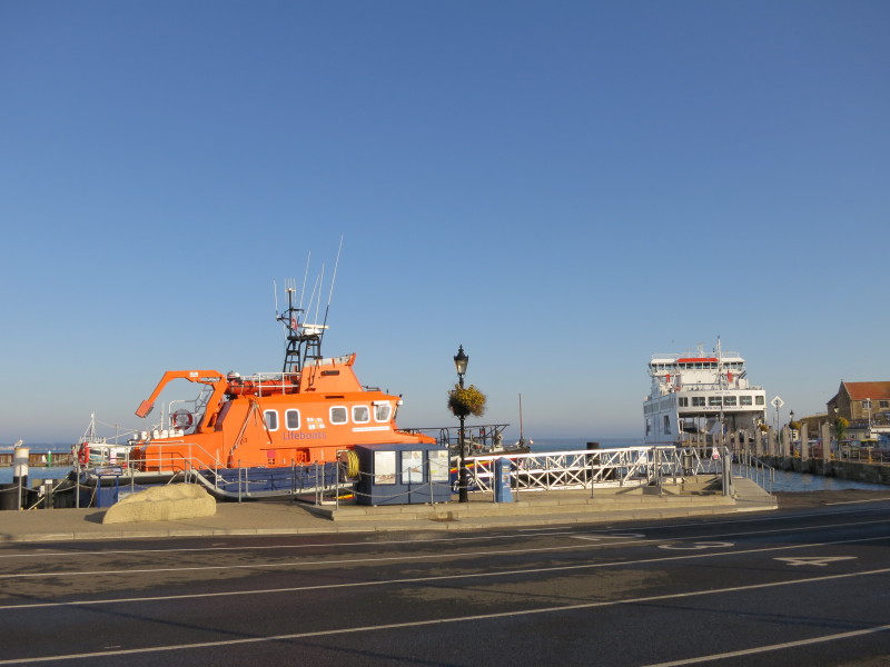
The harbour hosts a lifeboat and the Lymington ferry
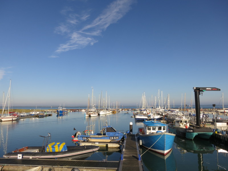
...plus fishing boats and yachts
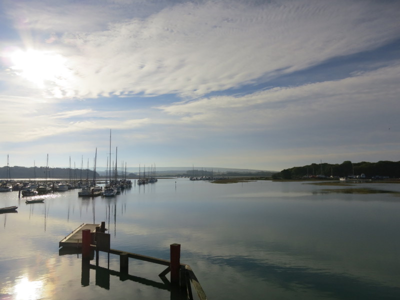
On the south side of the road are more boats on a very calm morning.
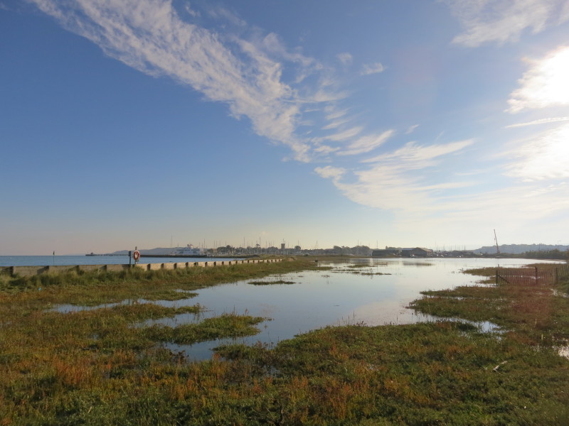
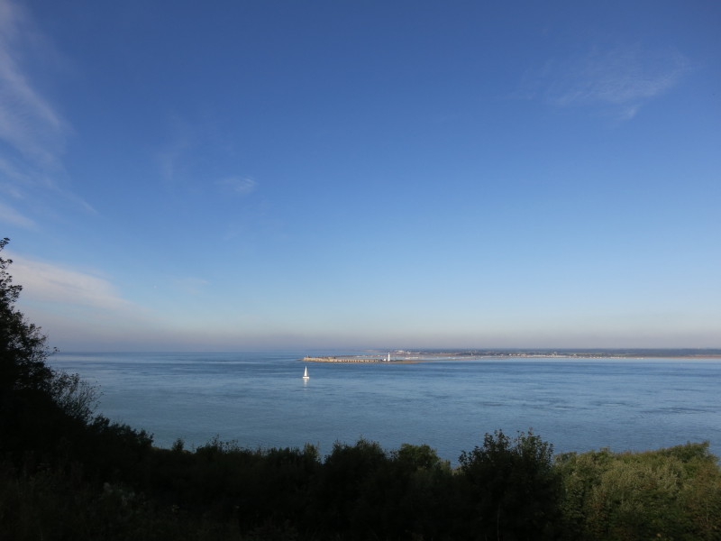
Leaving the road after its bridge has taken us across the River Yar, we
return to the sea proper, held back from the marshes by Norton Spit
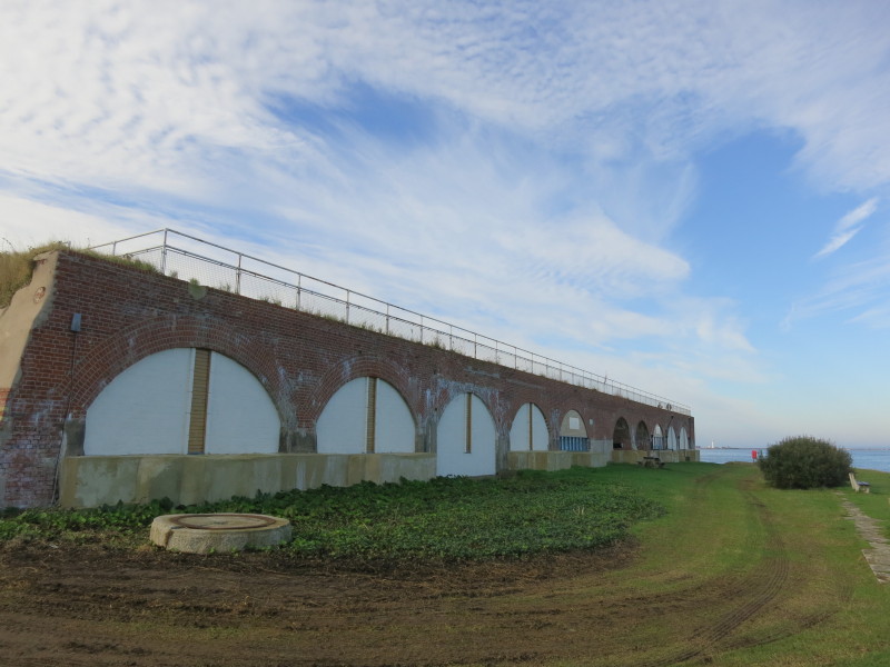
A short walk then brings us to Fort Victoria, built to guard the Solent
and now housing a variety of tourist attractions including an aquarium,
planetarium and a model railway.
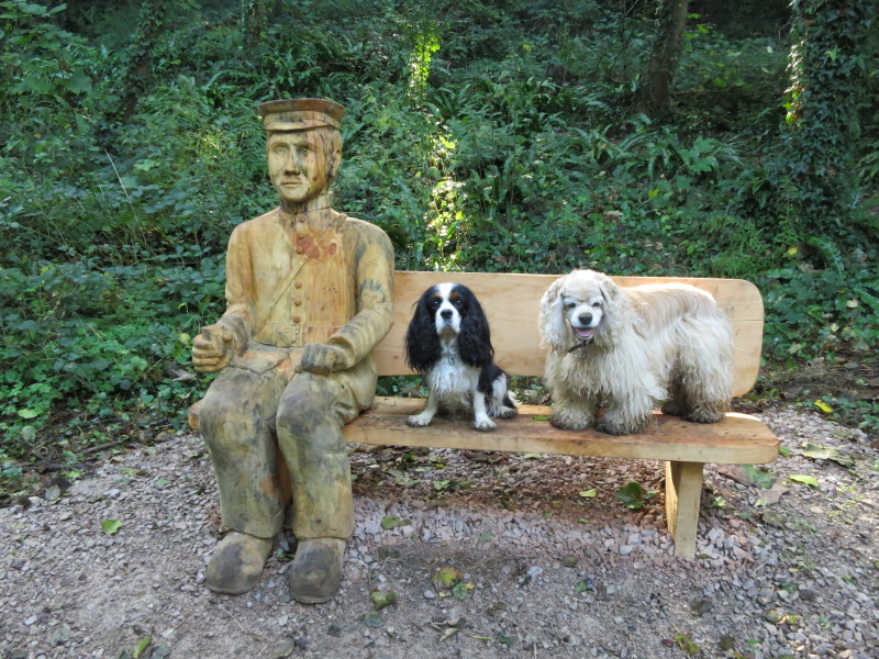
Climbing up the hill from Fort Victoria, we pass notices which form the
outer planets of a scale model of the solar system starting in the
planetarium, plus this interesting bench
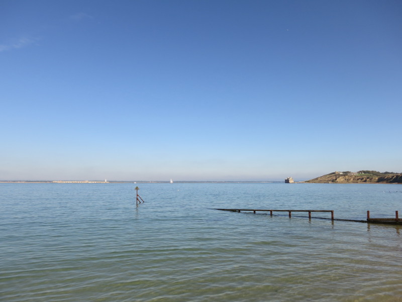
From Fort Victoria Country Park, a view across to the mainland and Hurst
Castle with its lighthouse
After walking round Colwell Bay, a look back to Hurst Castle on the left
and Fort Albert on the right
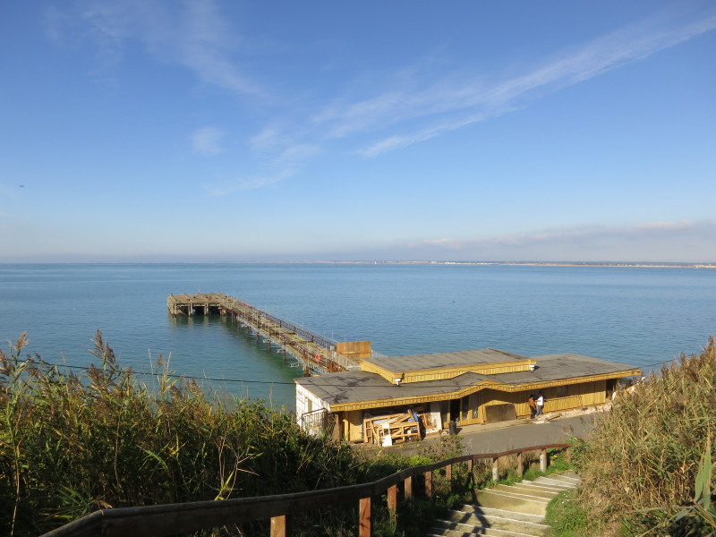
Returning to the sea and the rather sad-looking pier at Totland.
Passing the café to which we will return later
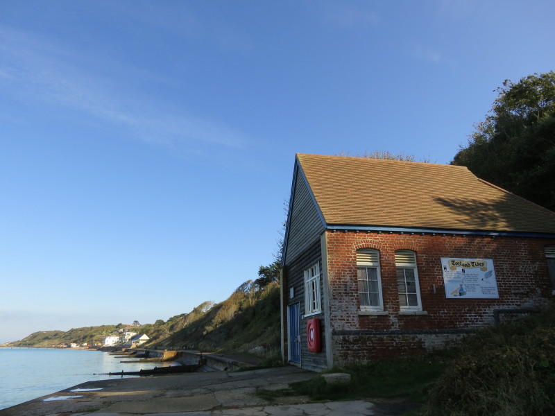
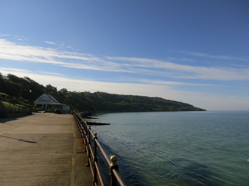
Continuing the walk after a good lunch, we pass the old lifeboat station
A climb out of Totland takes us up the 120-metre Headon Hill
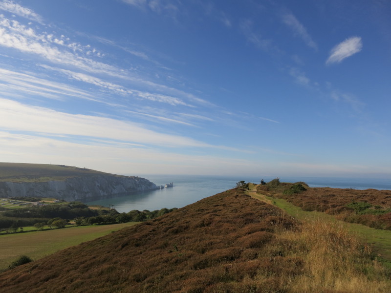
From Headon Hall there is a glorious view across Alum Bay including The
Needles. Just short of the Alum Bay amusement park, Lucy picked us up;
we dropped off the dogs at the cottage and returned to the café on the
front at Totland where we had a good lunch.
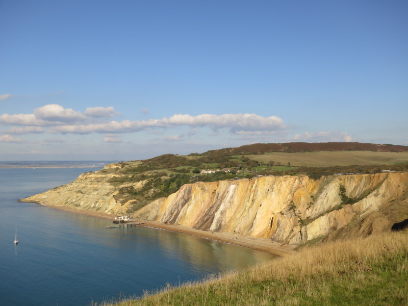
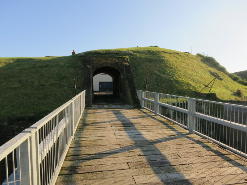
Lucy then took me and the other two dogs back to Alum Bay from where we
climbed gradually towards the Old Battery, with views back of the famous
coloured sands of the cliffs of Alum Bay.
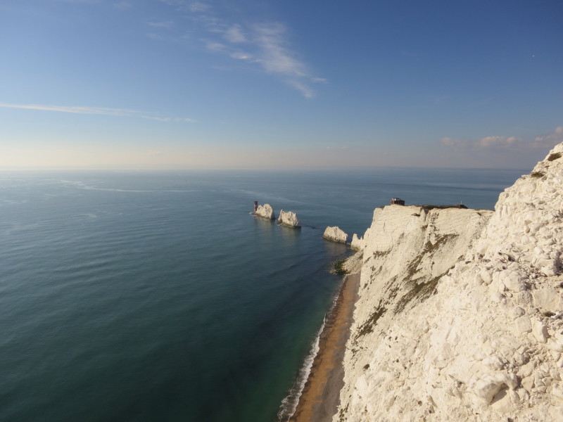
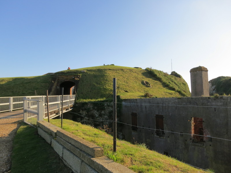
Across Scratchell's Bay, the chalk stacks of The Needles and lighthouse,
with the Old Battery perched on the end of the mainland.
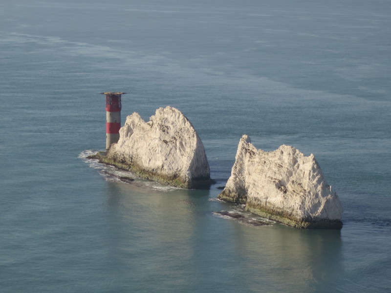
The Needles take their name from a fourth needle-shaped pillar called
Lot's Wife that collapsed in a storm in 1764 - despite what remains not
being particularly needle-like (though the "ridge" is sharp), the name
has persisted. The Needles Lighthouse was built in 1859 and has been
automated since 1994.
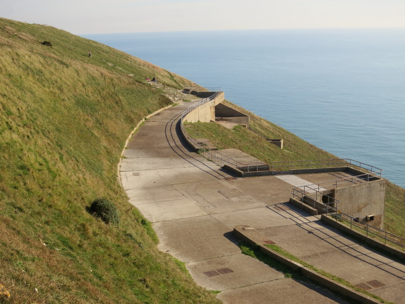
The site of testing of Britain's the Black Knight rocket in the 1950s.
Without local access at the time, the site was considered secure and
wasn't overlooked from anywhere else on the island.
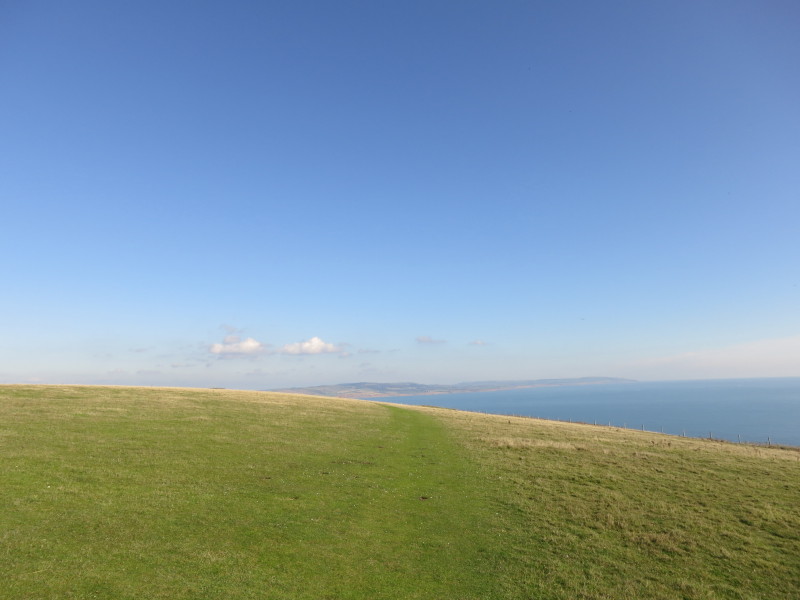
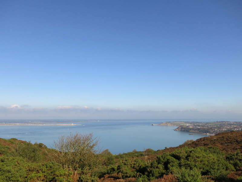
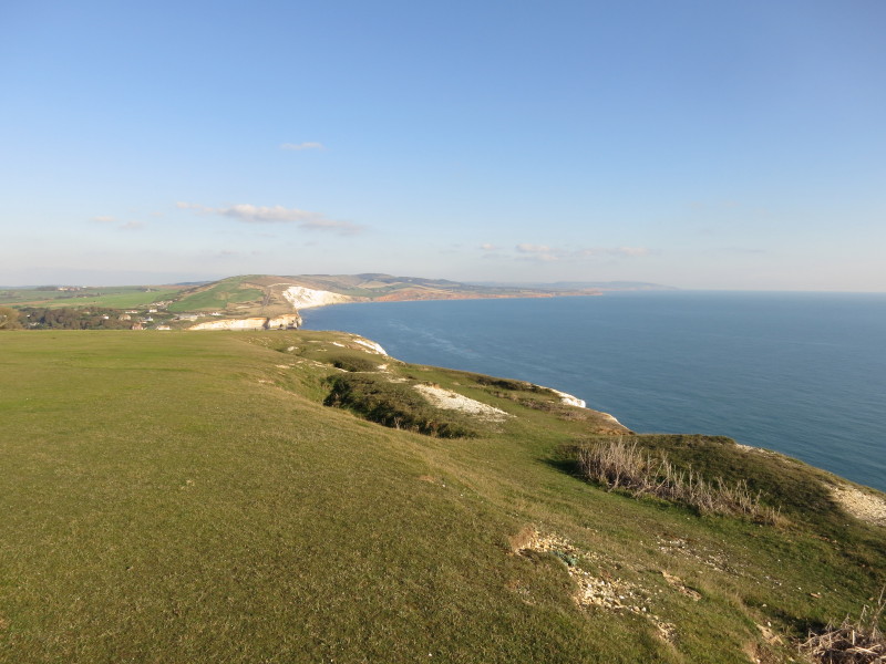
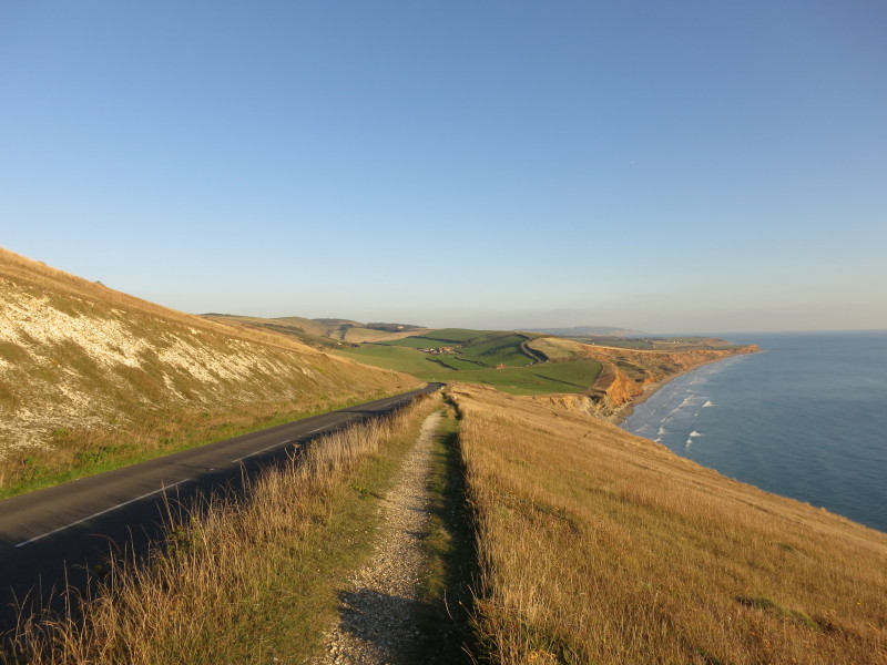
The corner has been turned and we are heading east. St Catherine's
Point, the southernmost part of the island, is visible in the distance.
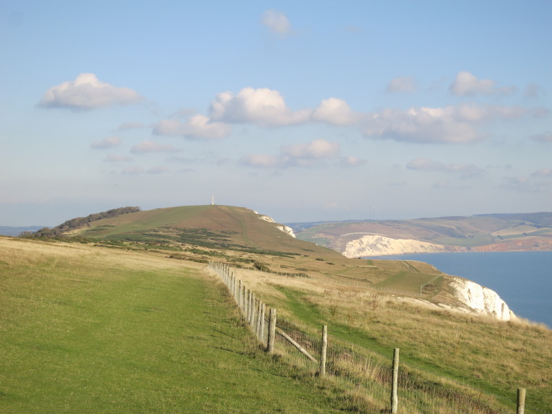
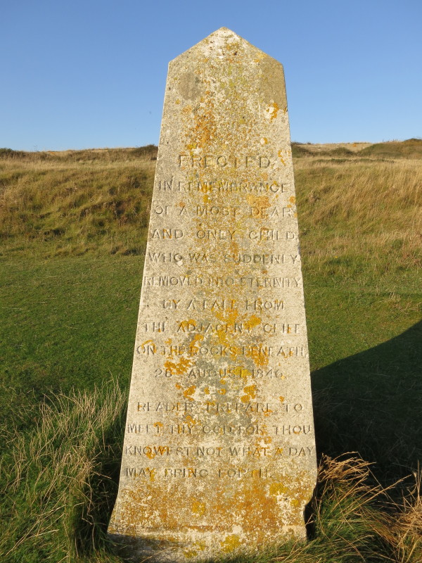
Heading for the monument on Tennyson Down
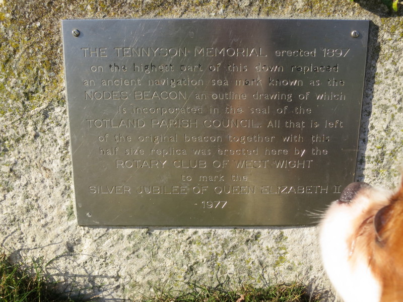
An inquisitive nose reads the plaque on the memorial.
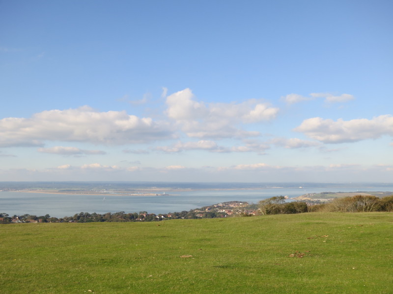
From Tennyson Down, looking across the channel to Hurst Castle and the
New Forest
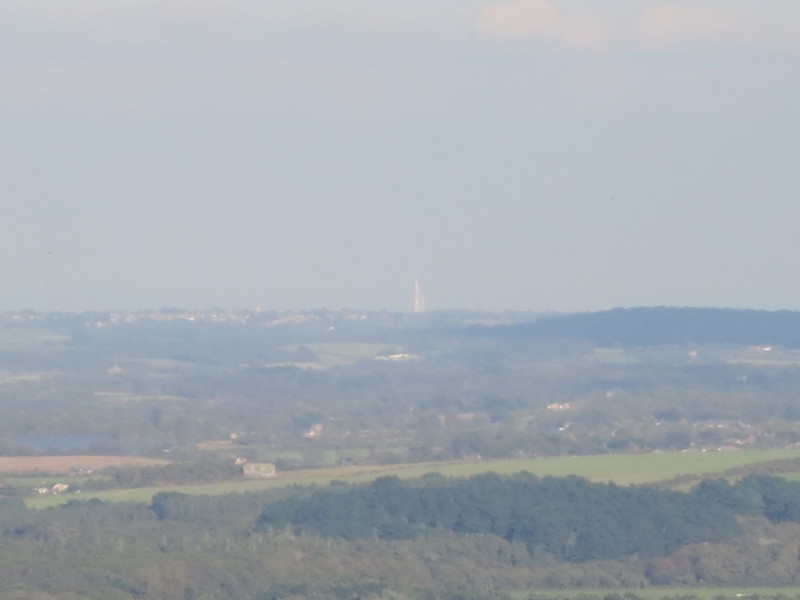
Across the island and then the Solent, the Spinnaker Tower at Portsmouth
is visible 34 km away.
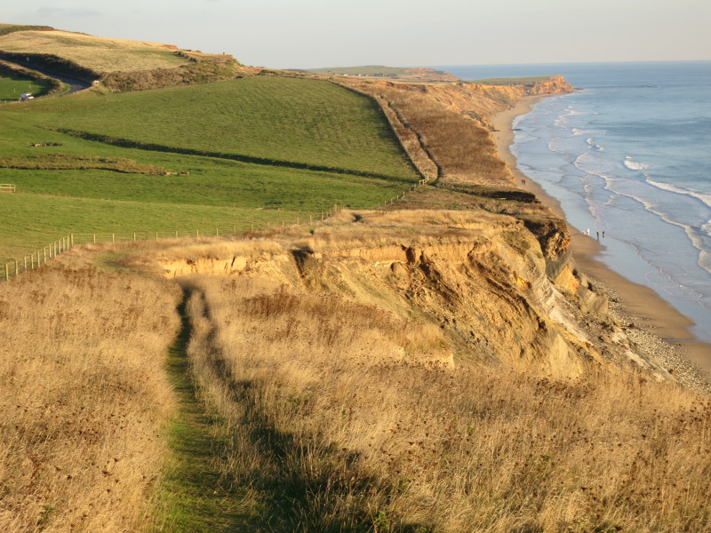
As we head for Freshwater Bay, there is evidence of the chalk cliffs
here getting ready for a major landslip
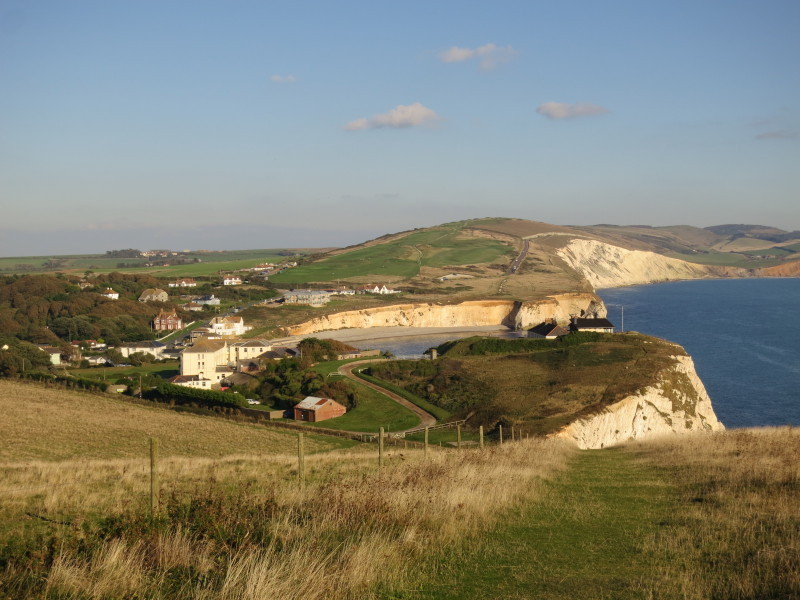
The village and bay of Freshwater Bay. Only the tiniest of rises (the OS
map gives an elevation of 2 metres) separates the sea here from the
River Yar flowing to the north.
Fort Redoubt was built in 1855-6 as part of a series of fortifications
against the French. It is now a private residence.
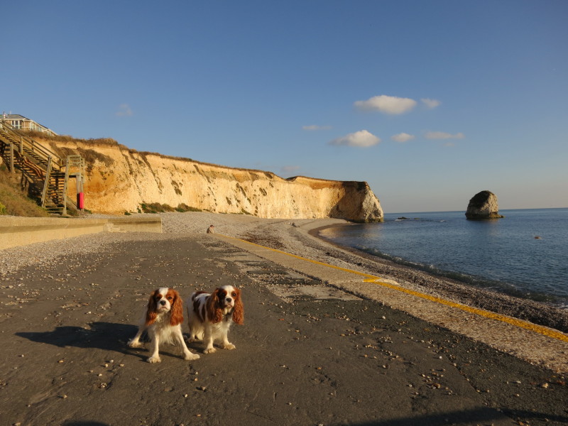
The Blenheims on the front at Freshwater Bay. The open steps up to the
cliff top caused some anxiety but were eventually negotiated.
A reminder to be careful on cliff tops
In places along the southwestern part of the route, the path is squeezed
between the road and the cliffs
Heading away from the road for a while, what looks like a fairly minor
depression runs across the picture, but with the line to the seaward
side of the fence showing the route presumably to be taken.
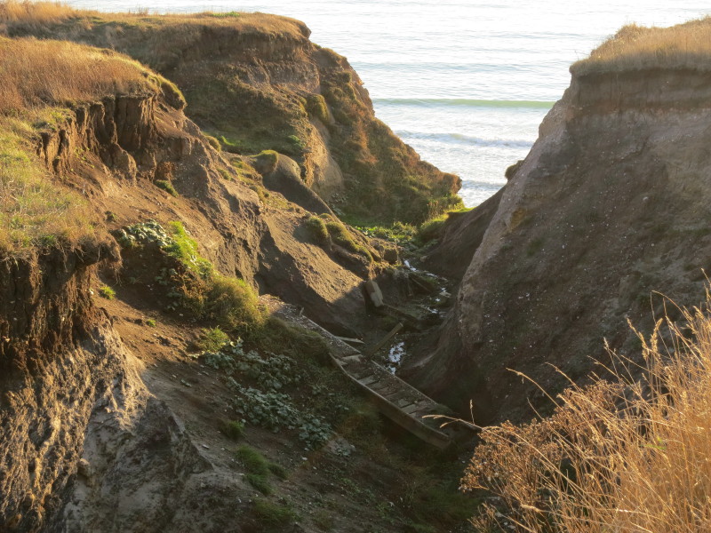
Not any more. The bridge across the gully has gone, and the path on the
seaward side of the fence disappeared and I had to climb over the fence.
A detour most of the way to the road was needed, though in fact I was
meeting Lucy at the car park there, so it didn't add any distance for
me.
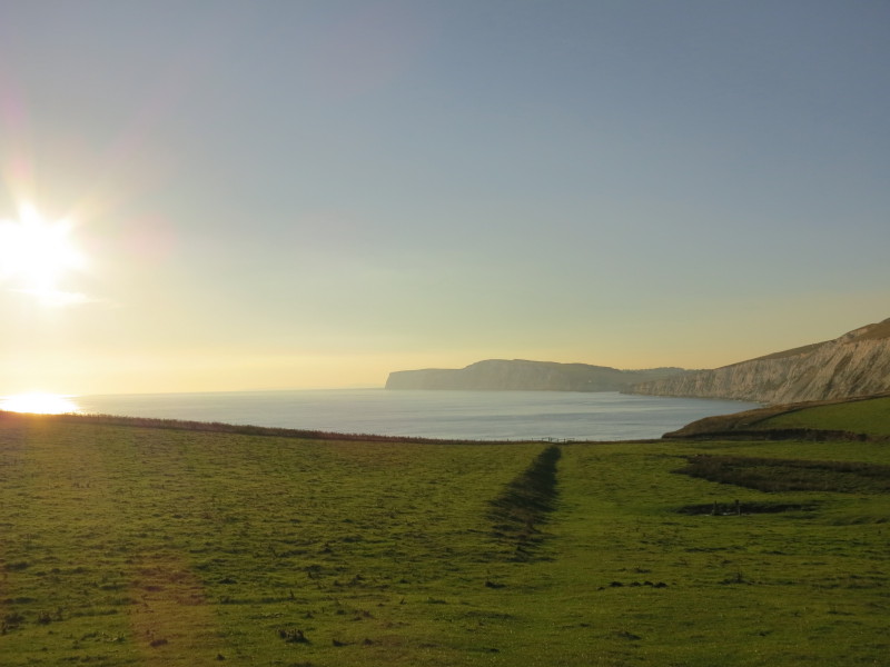
A look back across Compton Bay to the cliffs of High Down and The
Needles at the end of a lovely day's walk.
Total walk on the Isle of Wight Coast Path was 20.5 km in 6 hours 2 minutes

|