Lea Valley Walk - Ponders End to Limehouse and
The Thames
11 May 2008
The Lea Valley Walk follows the River Lea from its source at Leagrave north of
Luton to the River Thames at Limehouse Basin. Over the years, I've walked quite
a bit of it, but with the gift of the revised edition guidebook to the walk from
Lucy for Christmas, I decided to do the whole thing in order this year. Today
Stephen and George picked up where they'd left off two weeks ago in Ponders End,
for the final leg to Limehouse Basin and the Thames. With temperatures up to
27°C, the start was deliberately delayed so that the day would be cooling as the
walk progessed.
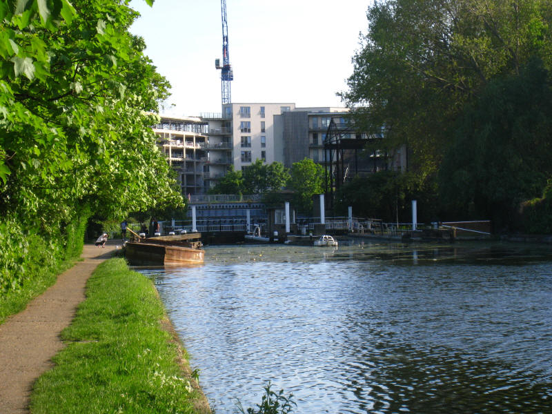
Ponders End Lock, and the "proper" start of today's walk. This is the last (or
first as we are going downstream) of the locks to be modernised and capable of
taking 130-ton barges.
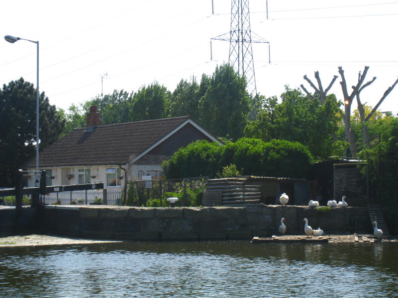
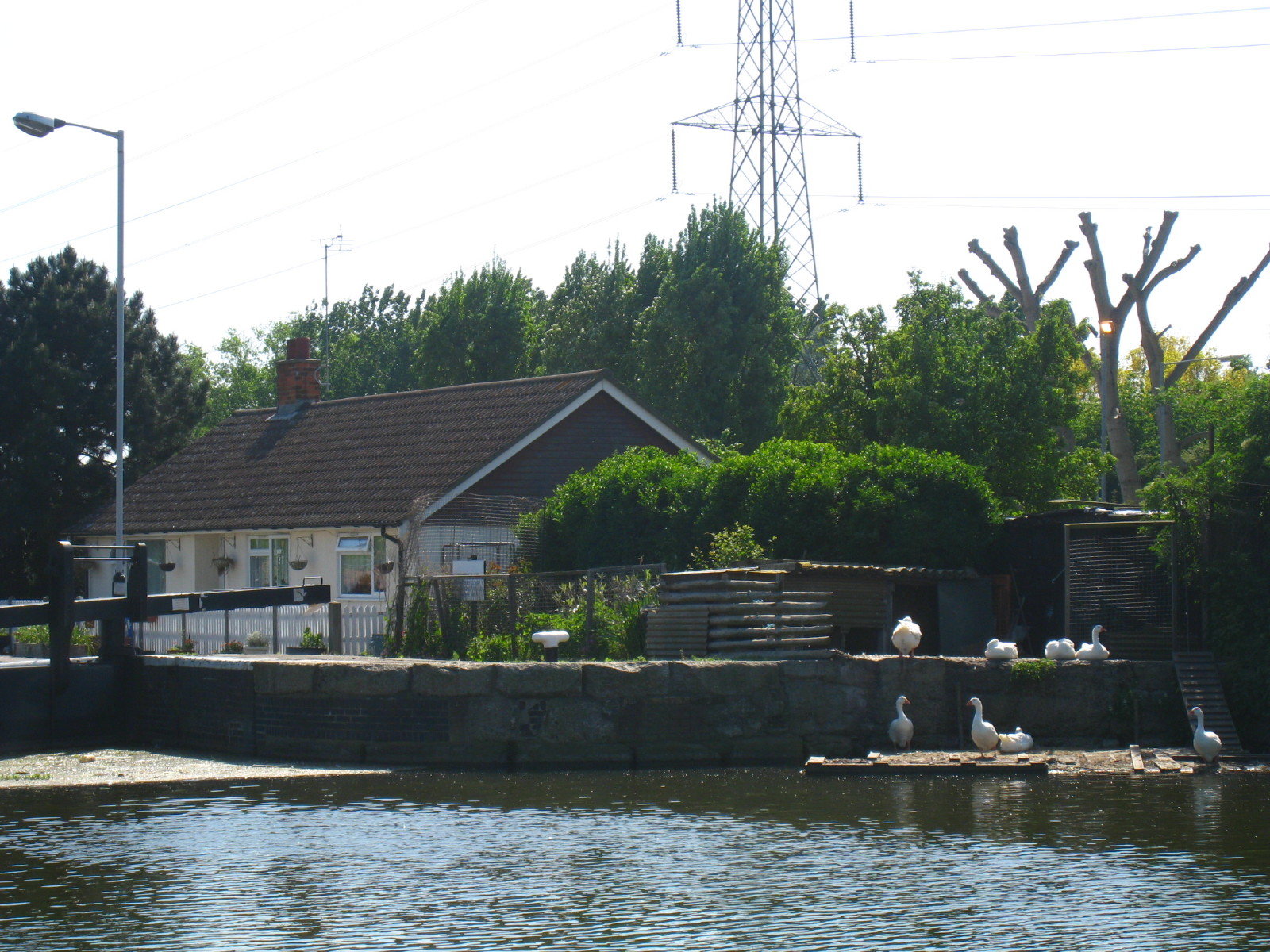
Just above Pickett's Lock, lots of geese
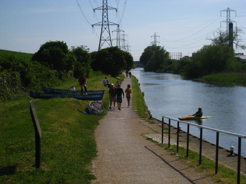
Below the lock, a canoeing party is coming ashore. On the left can be seen the
retaining wall of the William Girling Reservoir which stores 16.5 gigalitres of
water: it opened in 1951.
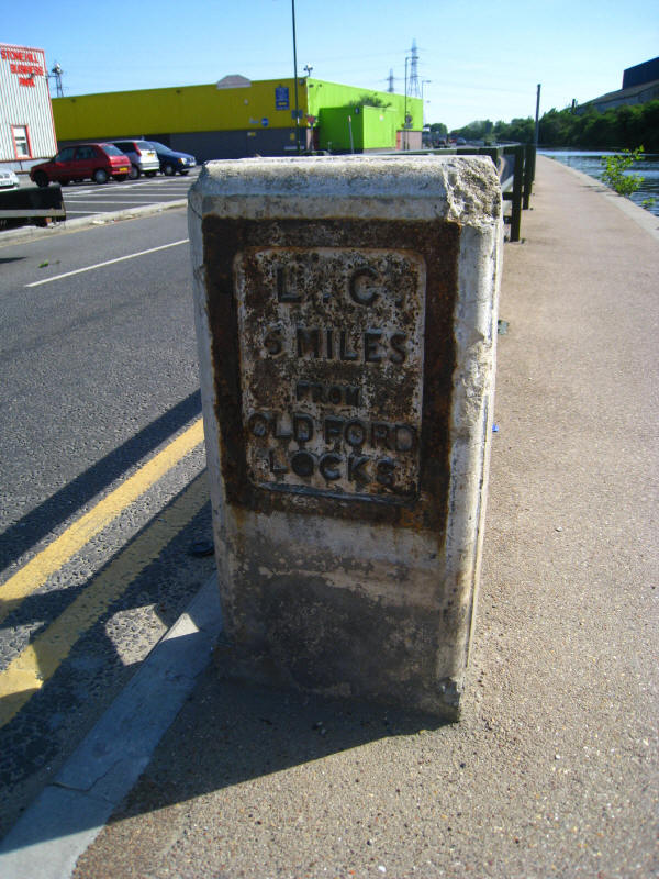
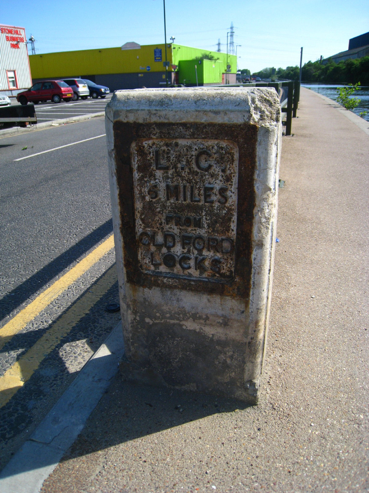
As we pass the industry just south of the North Circular Road, there is an old
six-mile marker from the days of the Lee Conservancy

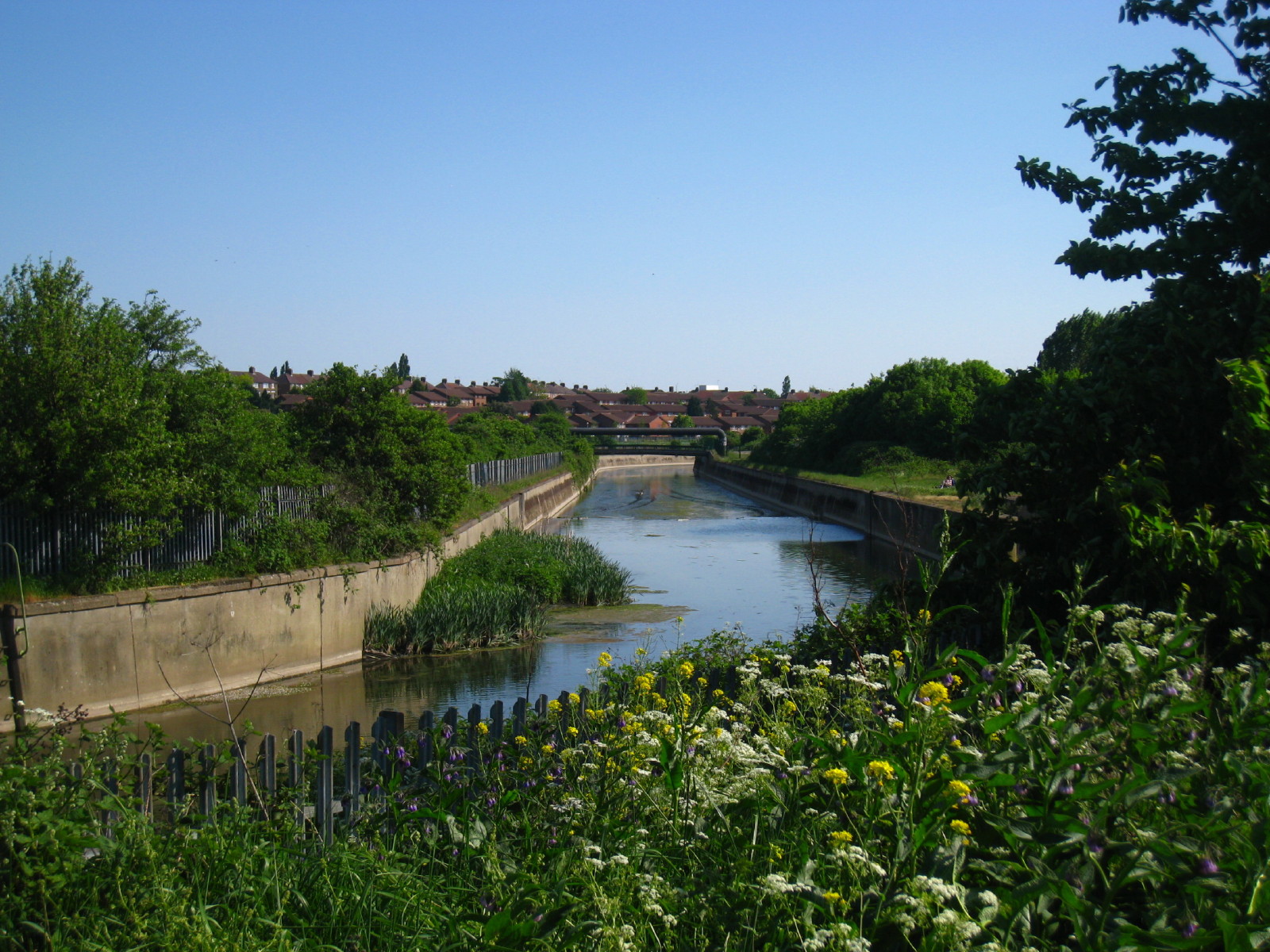
The flood relief channel makes its way around Banbury Reservoir (hidden behind
the trees on the left)

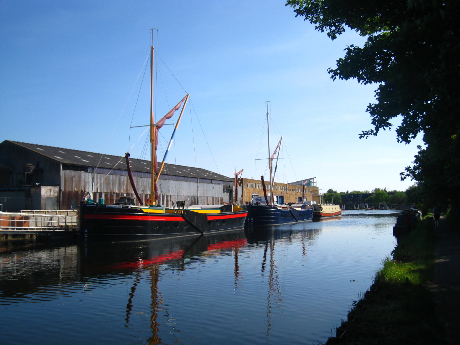
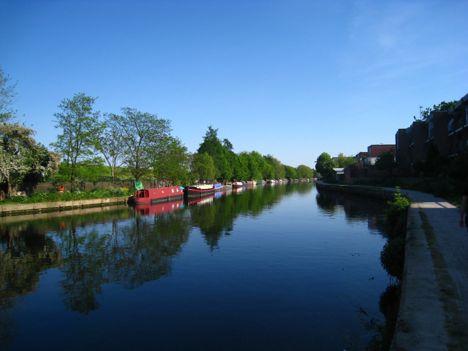
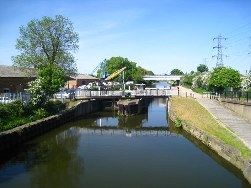
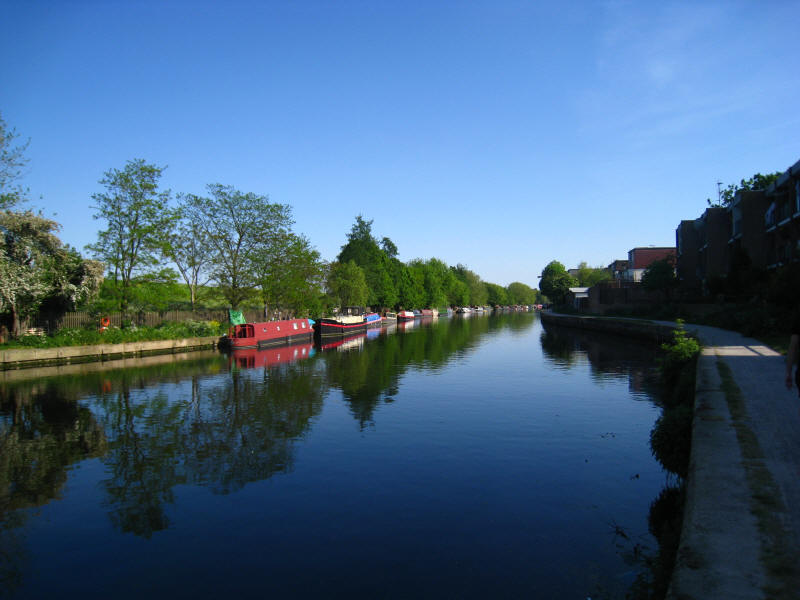
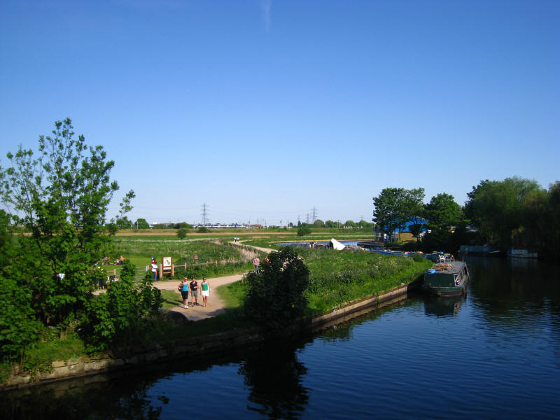
Two attractive boats as we approach Tottenham Lock. From here to Hackney Wick is
mostly new territory for Stephen and George.
Narrowboats moored on the offside signal the approach to Springfield Marina
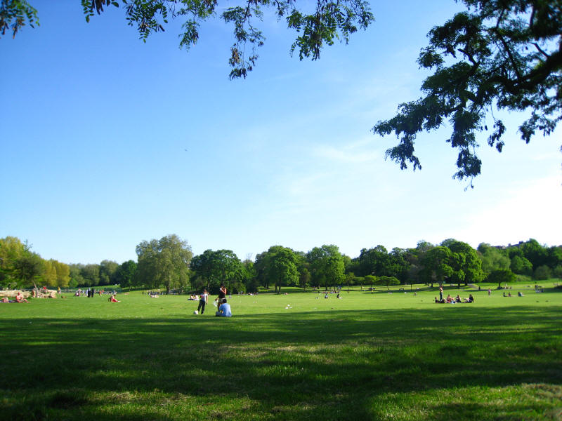
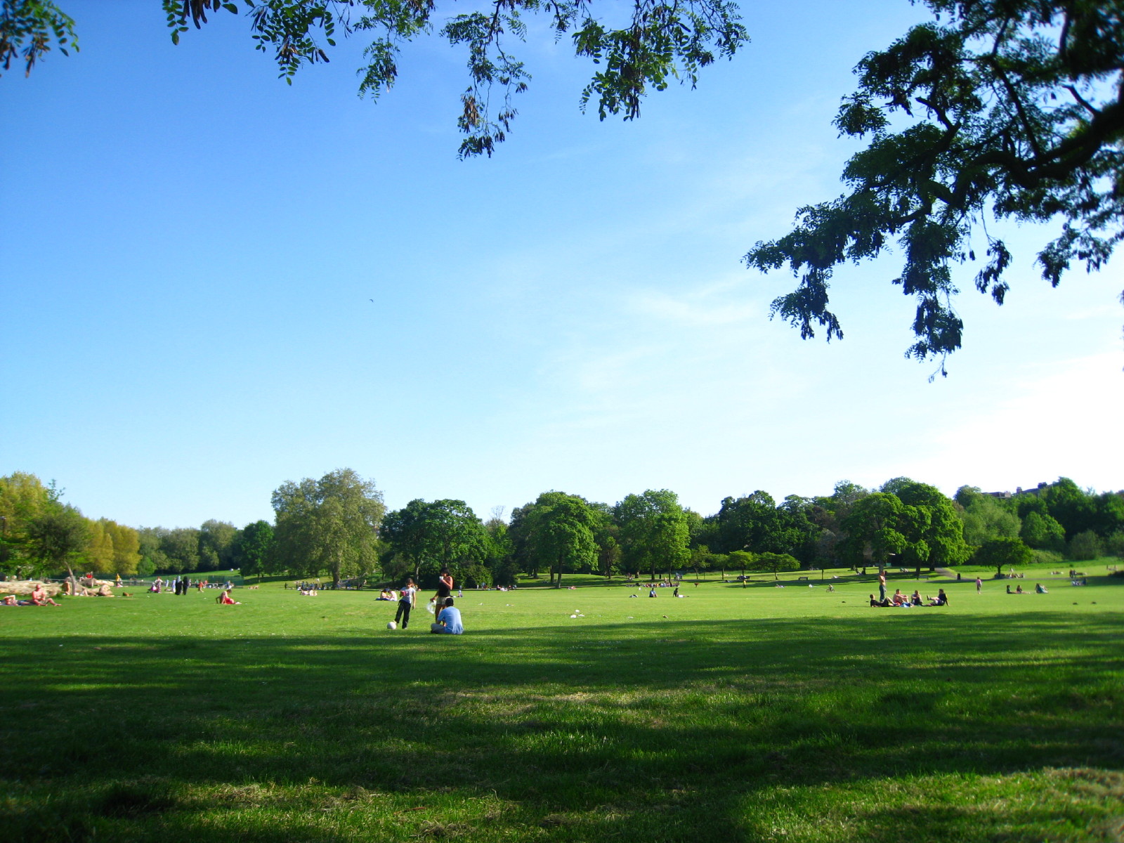
Springfield Park, and a good place to stop for a shady rest on this hot
afternoon.
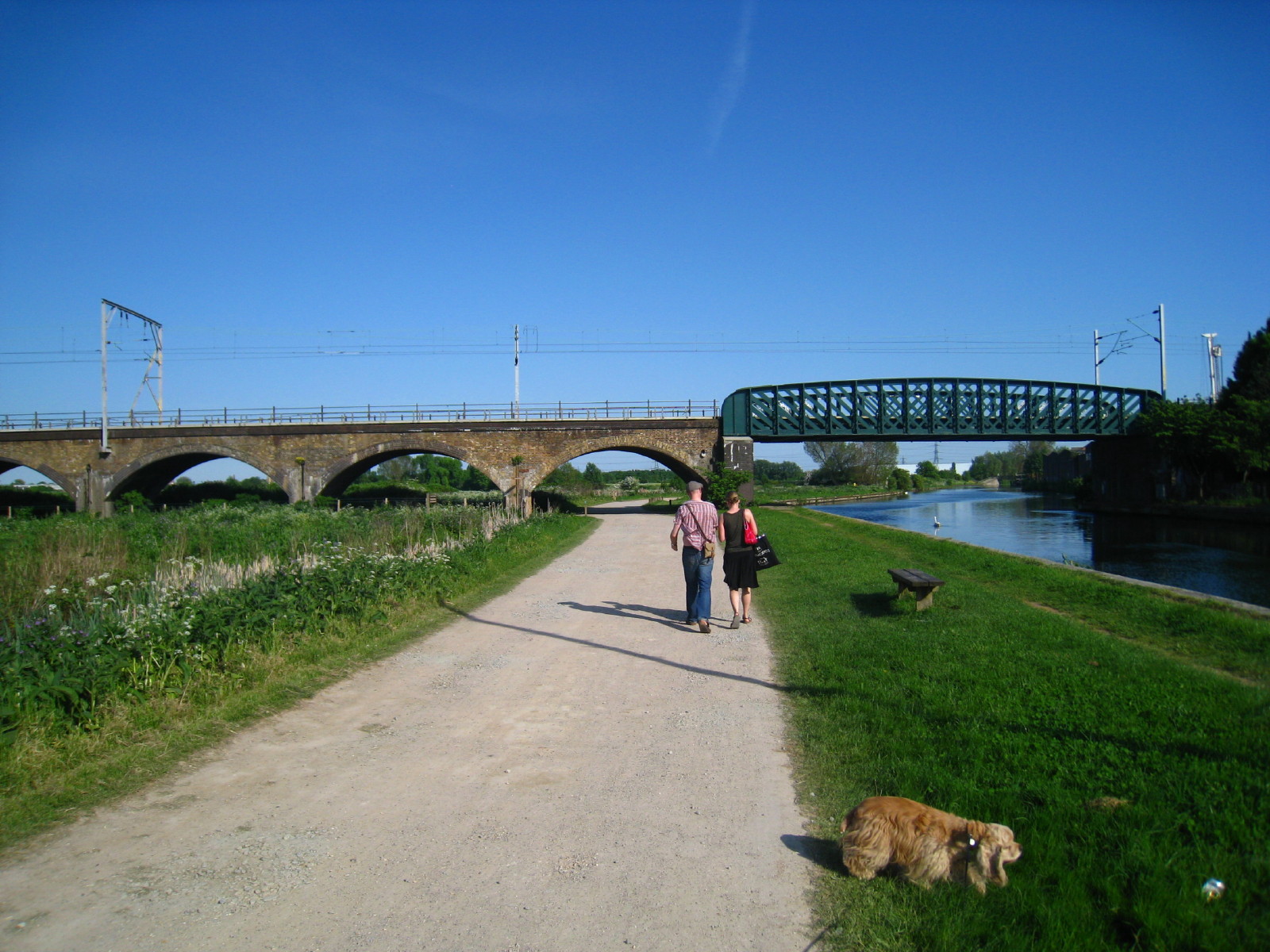
As we cross the bridge to take us onto the Walthamstow Marshes, we join the
route of the Capital Ring
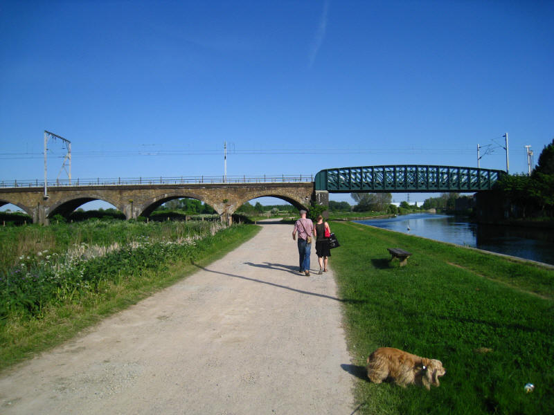
Continuing along the Walthamstow Marshes, we pass under the mainline railway
from Liverpool Street to Cambridge

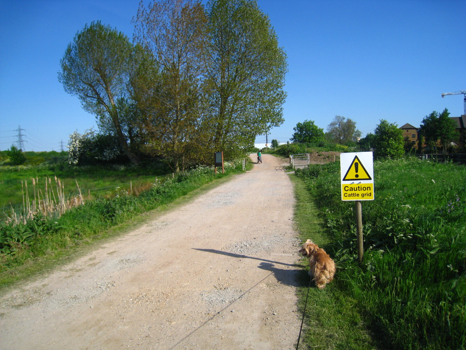
"Caution, cattle grid" warns the sign, but it had been covered over, and in any
case the fence either side was not complete.
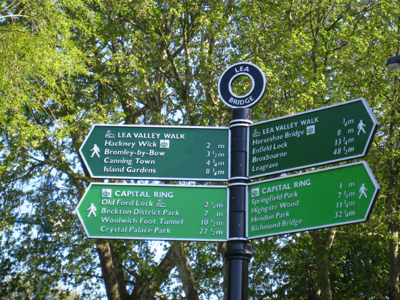
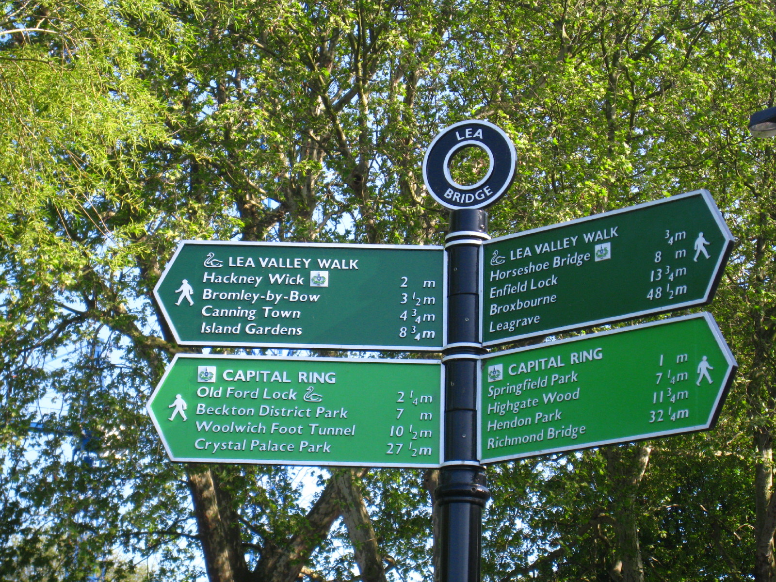
The signpost confirms that the path now shares the routes of the Lea Valley Walk
and the Capital Ring. However, Canning Town and Island Gardens aren't on the
normal Lea Valley Walk - although Canning Town does represent an alternative
ending.
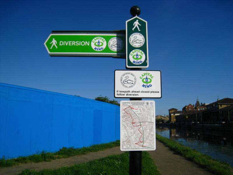
Yet another of the signs which seem to plague any long distance walk - a badly
thought out diversion sign. "If towpath ahead closed please follow diversion" it
says. But there is no signage to advise whether or not the towpath is closed or
not, and the length in question is shown by the sign to be extensive. The
diversion route looks very complex, so I hope the signage is good. We plunged
on, hoping (contrary to past experience) that the absence of an indication as to
whether the towpath was open or closed should be read to mean that it was open,
and on this occasion we had good fortune. It is quite clear that he officials or
contractors responsible for planning footpath closures are completely incapable
of putting themselves in the place of a prospective walker, and uninterested in
going out of their way to make life easy.
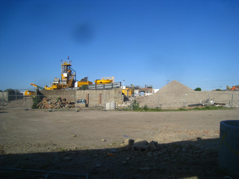
Part of the 2012 Olympics construction site
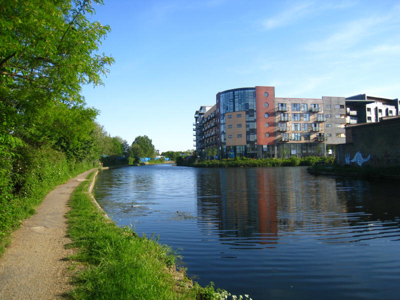
We are back on familiar territory, and the rest of the Lea Valley Walk is along
the route that Stephen and Henry took last year when doing a circuit of the east
London canals. Disappearing off to the right is the Hertford Union Canal.
Looking along the Hertford Union Canal
Old Ford Locks, with beyond them the Northern Outfall Sewer, constructed in
1862-3 with Joseph Bazalgette as engineer. This is one of three major sewers
constructed by Bazalgette after an outbreak of cholera in 1853 and "The Big
Stink" of 1858. Previously sewage was dumped directly into the Thames in central
London, but these intercepting sewers transferred it parallel to the Thames -
this one to Beckton. The top of the Northern Outfall Sewer now forms the
Greenway path and cycleway through east London, and carries the Capital Ring
away to the east.
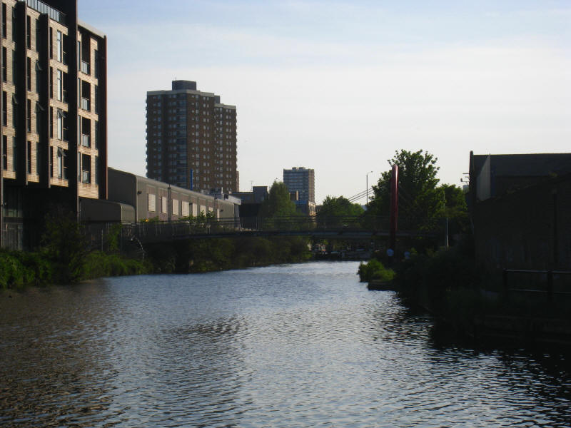
Below Old Ford Locks, where the River Lea rejoins the navigation. The loop of
river cut off by the Navigation was part of the mid-19th century improvements to
the Navigation authorised by an Act of Parliament in 1850, which involved a
number of new cuts and locks. That route is currently closed by the 2012
Olympics redevelopment.
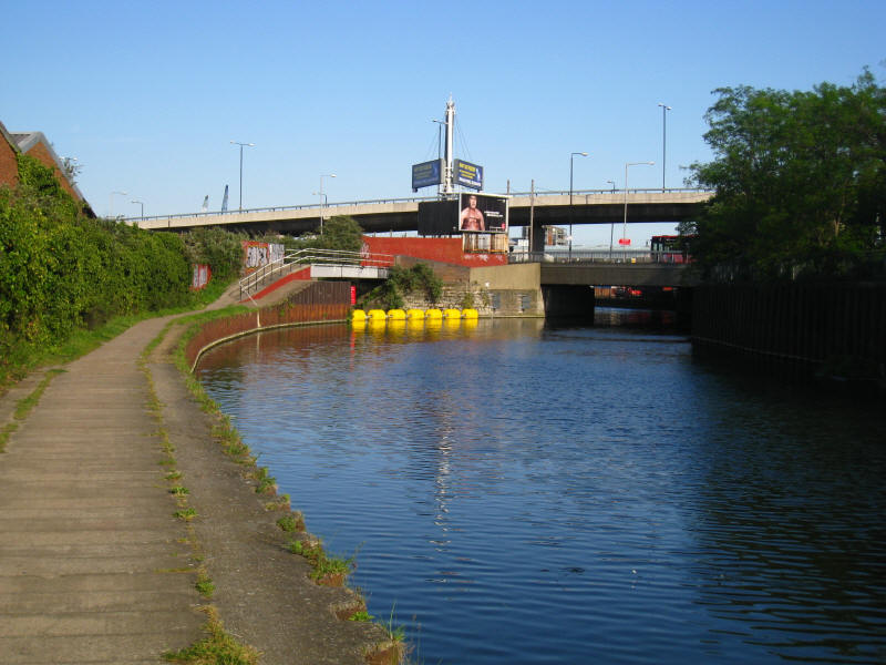
Approaching the hideous A12/A11 junction, where the towpath walker is thrown
without warning around a corner onto the roundabout, and left to negotiate two
busy roads which look like ordinary slip roads but have two-way traffic nicely
hidden behind huge pillars
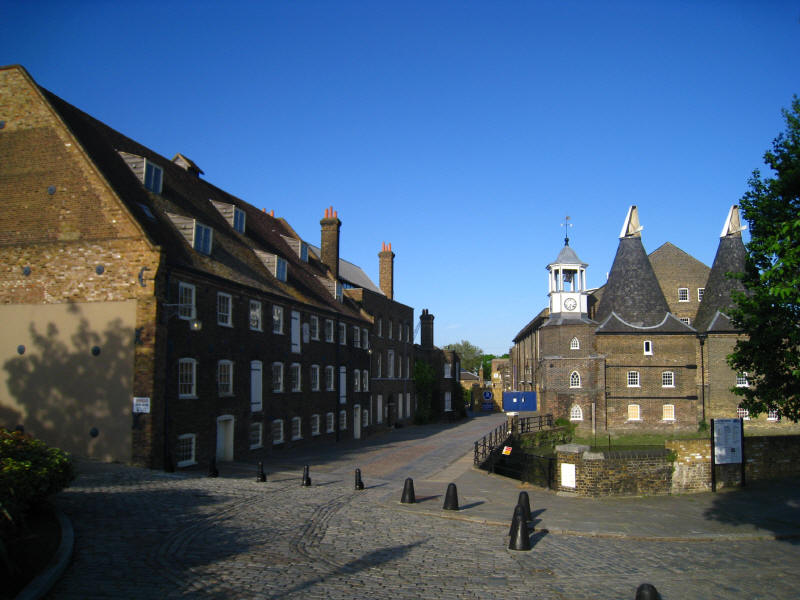
The remaining two mills on Three Mills Island are House Mill, seen with the
Millers House on the left, and Clock Mill on the right. The three mills on this
island were acquired by Stratford's Langthorne Abbey in the middle ages.
Although the site was in use for mills at the time of the Domesday Book, the
mills have been rebuilt many times since, the House Mill dating from the late
18th century and the Clock Mill (whose roof almost makes it look as though it
belongs in Kent) from the early 19th century. House Mill ceased operating in
1940, and Clock Mill in 1952. Although no longer in operation, House Mill is the
largest intact tidal mill in the world. The remainder of the island is home to 3
Mills Studios, a centre for film and television production.

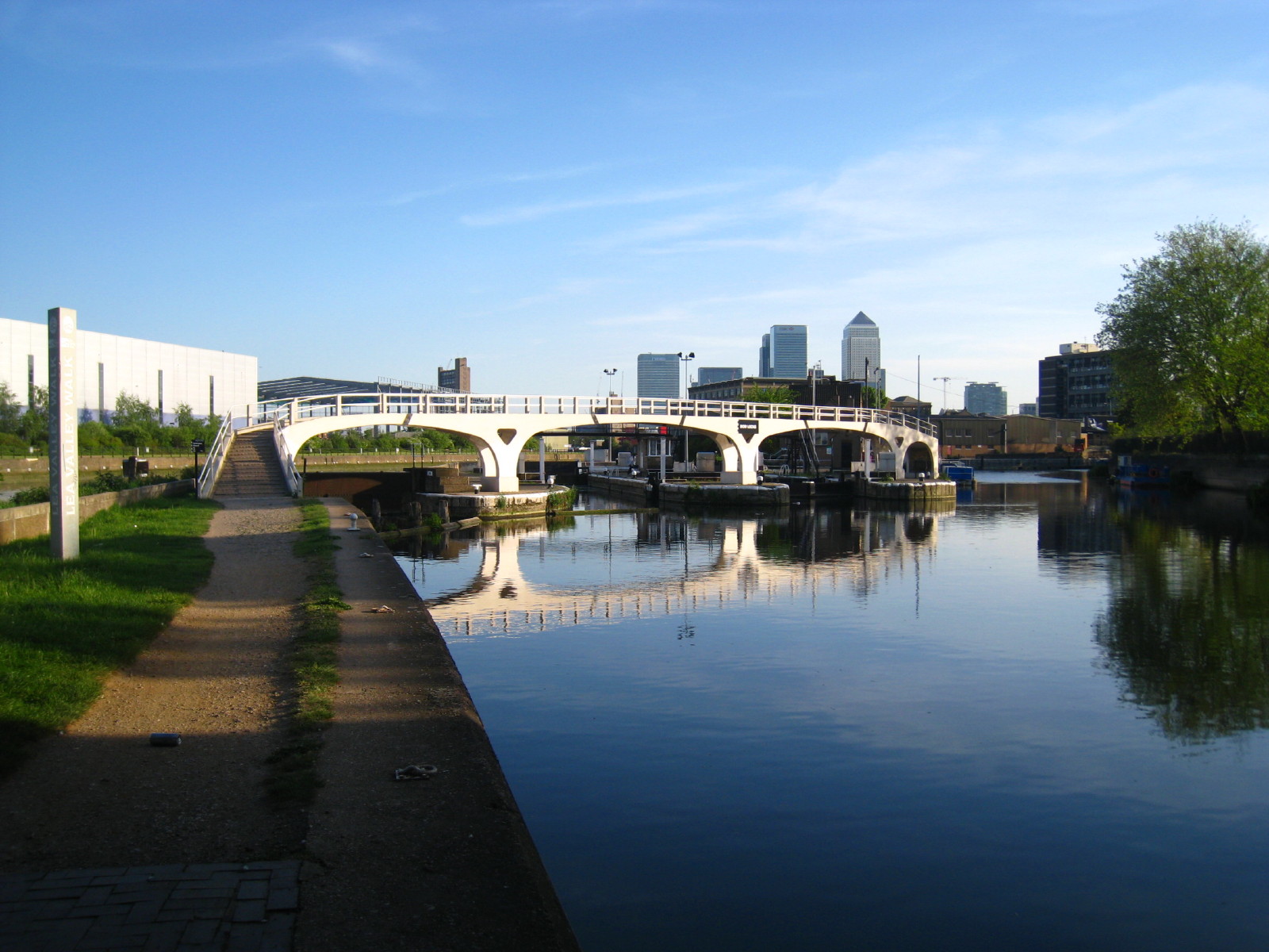
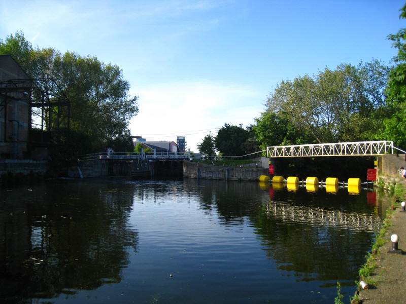
Bow Locks, where the adventurous boater can descent to the tidal, winding and
silted River Lee, better known hereabouts as Bow Creek, while most will turn
right and follow our route along the Limehouse Cut.
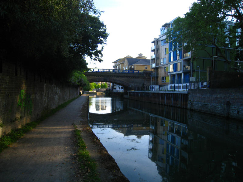
The Docklands Light Railway crosses the Limehouse Cut as we approach Limehouse
Basin

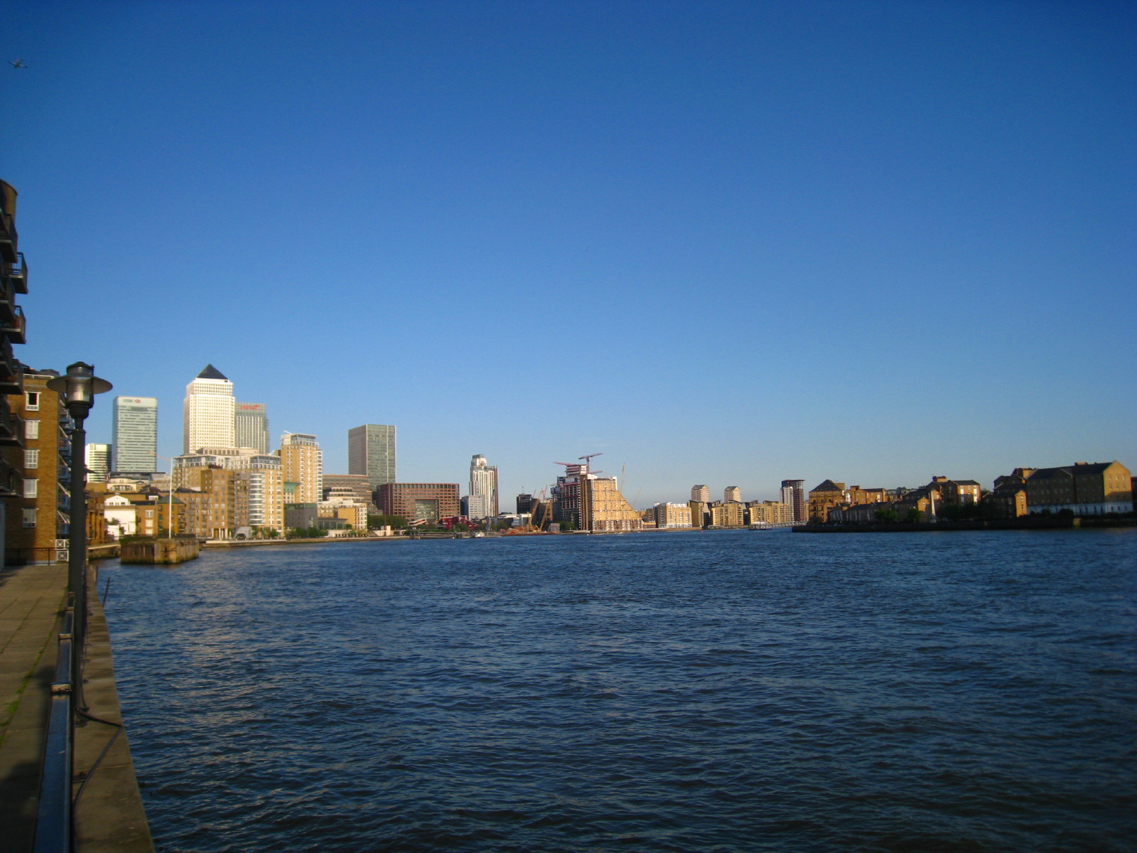
Journey's end: looking downstream along the Thames to the Docklands towers
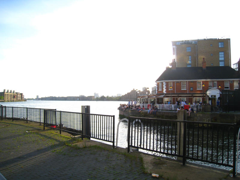
and upstream past the popular pub
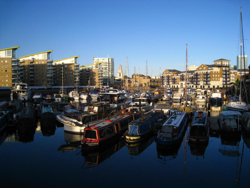
Boats in Limehouse Basin.
And so ended a journey of exploration from the source of the
Lea in the suburbs of Luton to the great River Thames. Not the most dramatic of
journeys, but with lots of interest.
Zoom in for more detail, or see map in larger window: Ordnance Survey |
Open Street Map |
Google Maps
Distance today on the Lea Valley Walk was 18.4
km, in 3 hours 50 minutes, total distance walked today 22.4 km in 4 hours 45
minutes.
|