London Loop Walk 17:
Elstree to Cockfosters
7 October 2006
Today Stephen did the seventeenth of his London
Loop walks, once again with Henry for company. George's pad is
pretty much back to normal, and he will be the companion for the final walk.
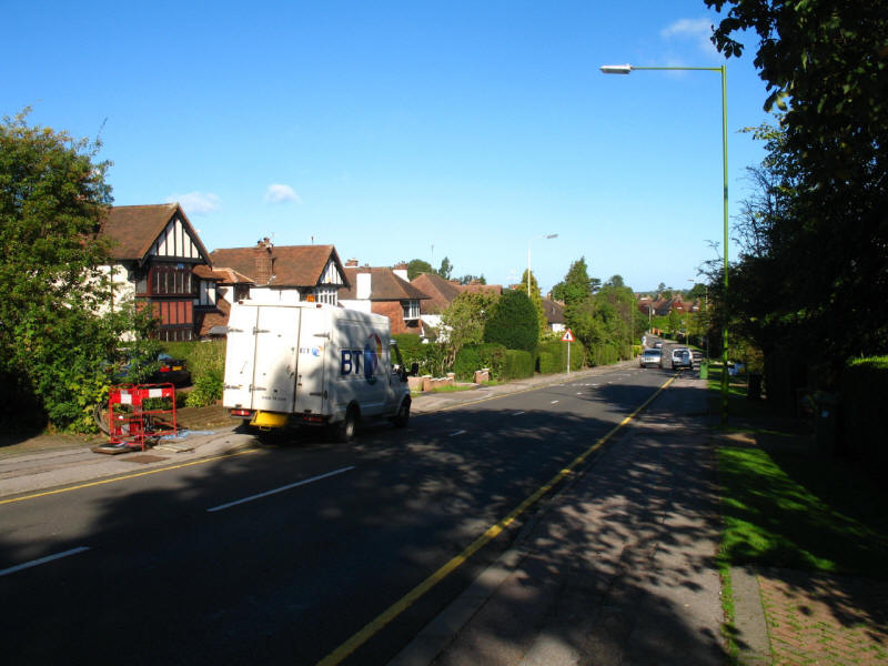
A kilometre-long trudge along the side of Deacons Hill Road was not the best
start to the walk; there were three BT vans at work.

We then turn onto the A411 Barnet Lane, for another kilometre of road walking.
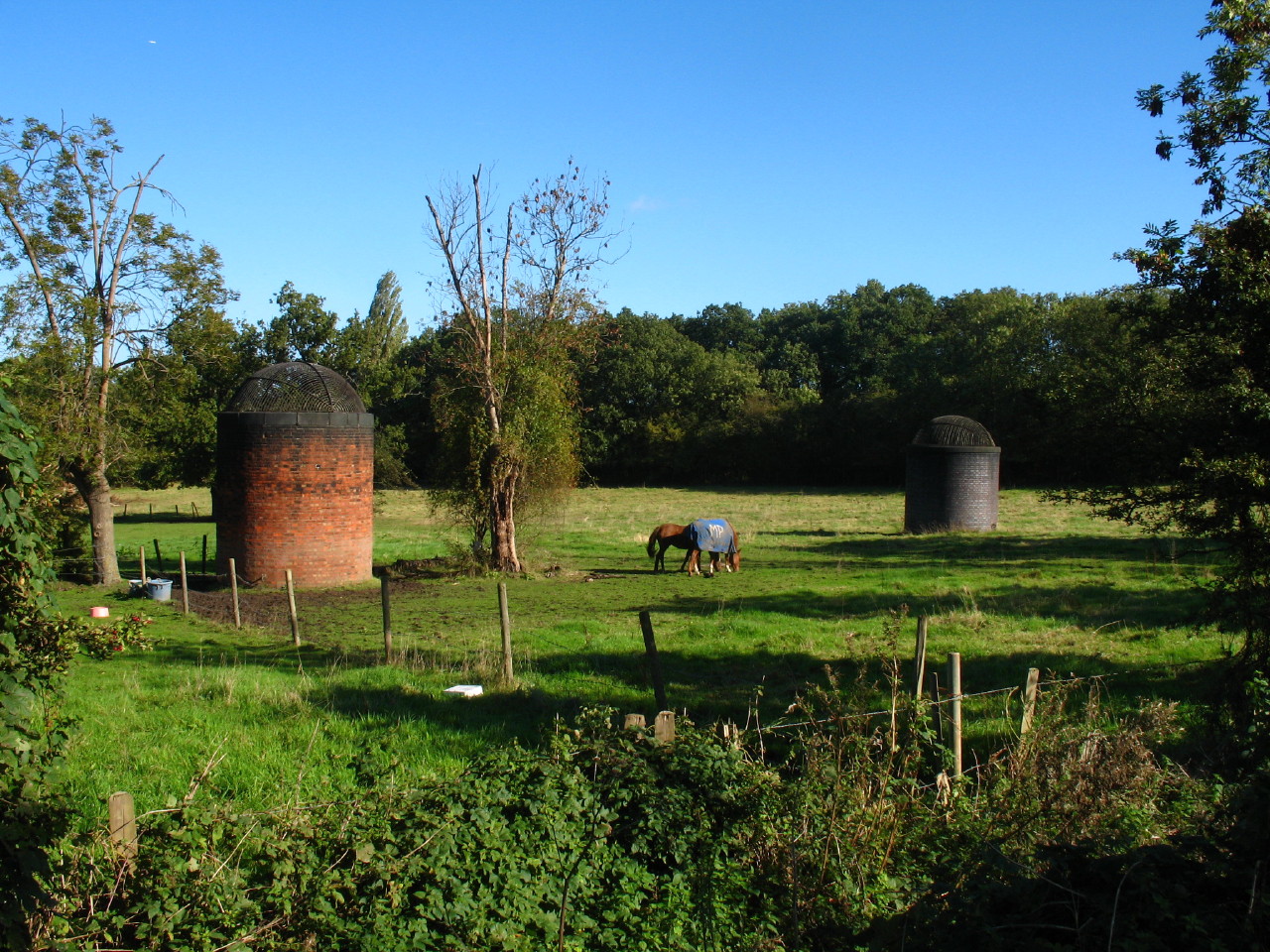
Looking to the left, two ventilation shafts for the Midland Mainline railway
passing through Deacons Hill.
We eventually leave the road and walk through Scratchwood country park.
Scratchwood gave its name to the M1 services, now renamed London Gateway, and so
this section of the walk was accompanied by the constant rumble of traffic on
the motorway 500 metres away. Scratchwood and our next destination, Moat Mount,
were once part of a big shooting estate.
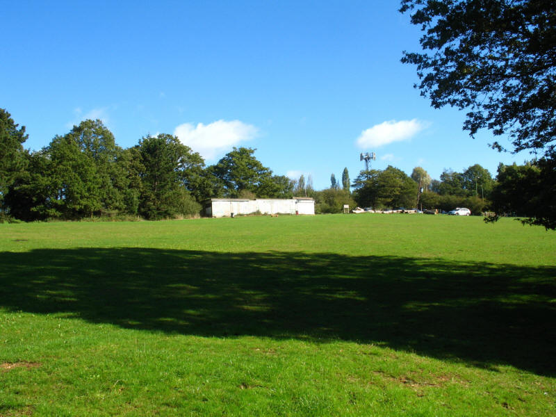
The LOOP information board here boldly described Scratchwood as "one of the most
picturesque parts of this walk". I suppose the woods were pleasant enough, but
it was an unfortunate place to put the board, with this non-descript grassy area
and car park, with the rather shabby looking café - the latter looked
extensively graffiti'd, and only on closer inspection did I realise it was a
rather chaotic mural. The guide book and leaflet both told me to walk past
picnic tables here, but there were none to be seen.
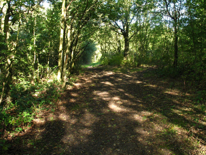
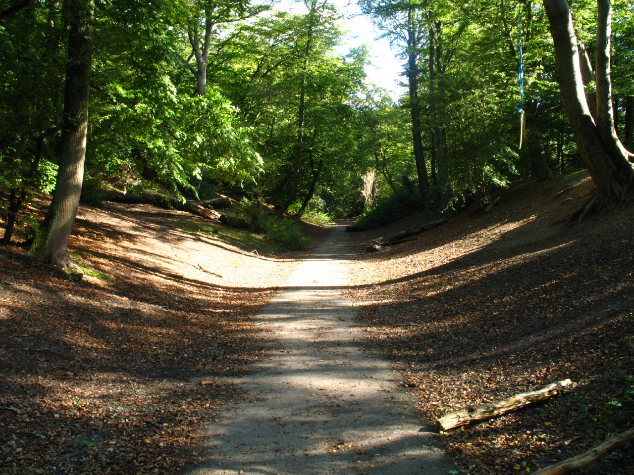
Walking through the woods of Scratchwood
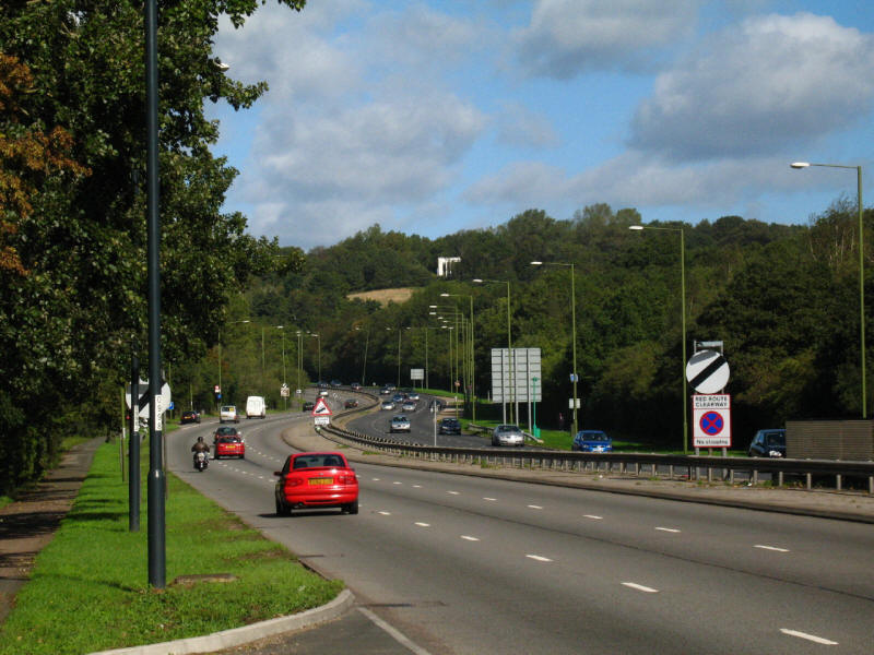
We then emerged onto the edge of the A1, just about at the point where the road
disappears around the corner, and there was a long walk along the side of the
road which was built right across the green spaces of Scratchwood and Moat Mount
without any provision for pedestrians to cross from one to the other. Having
eventually reached the pedestrian subway to the south, we crossed and turned
north, retracing most of our steps along the east side of the dual carriageway
to reach Moat Mount open space.
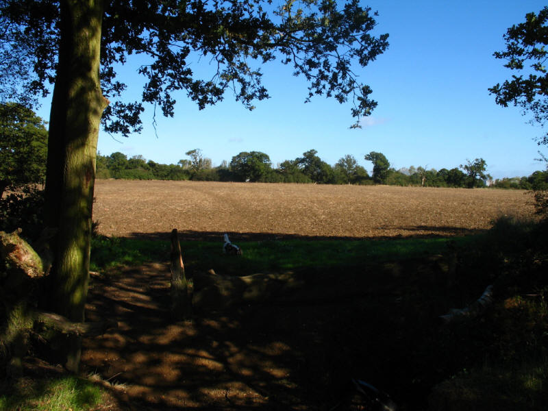
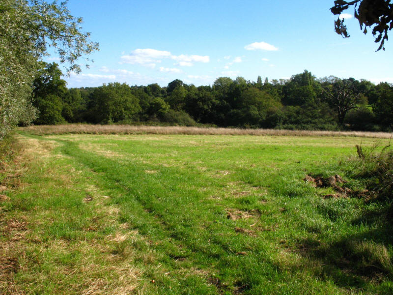
After a short bit of woods, we climb and emerge into pleasant fields, with
distant views between the trees.
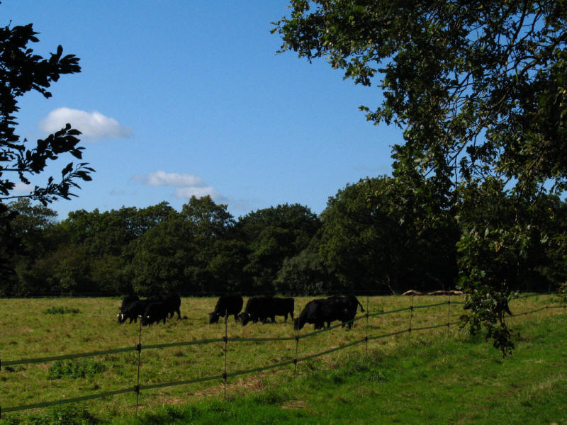
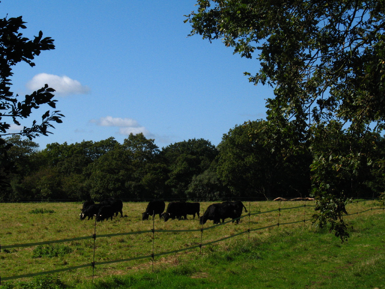
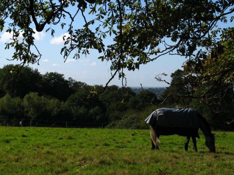
Cattle in the fields of Moat Mount
After more road walking along Hendon Wood Lane, we then enter Totteridge Fields,
an area of unimproved grassland managed by the London Wildlife Trust.
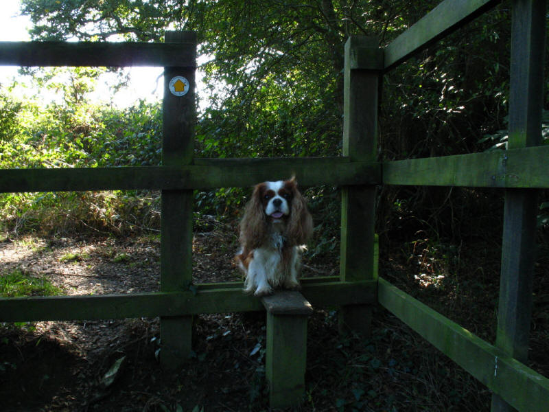
Henry on one of the stiles between fields.
We are now on the Dollis Valley Greenwalk as well as the LOOP, this being a very
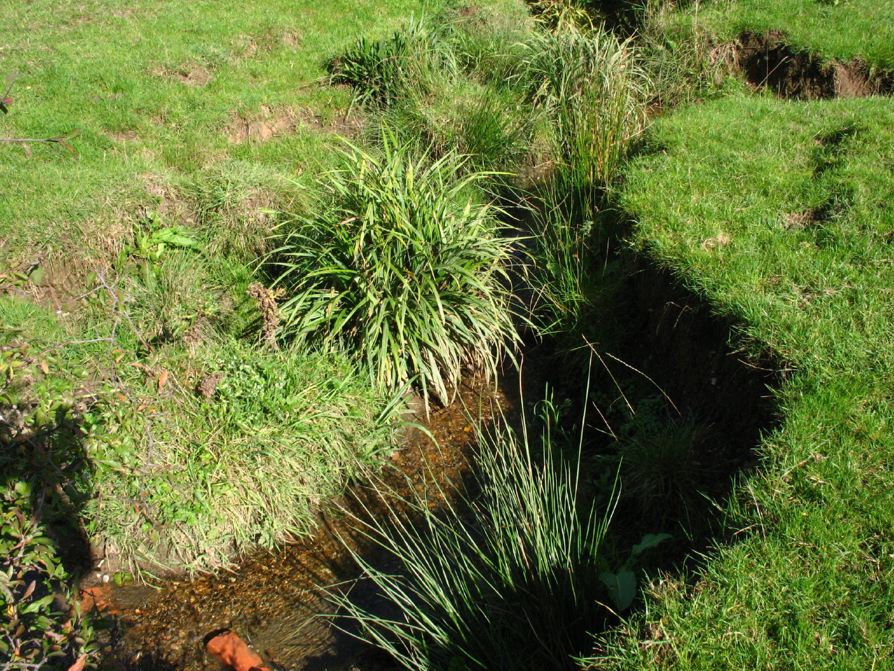
pleasant rural tramp through fields by the side of the Dollis Brook
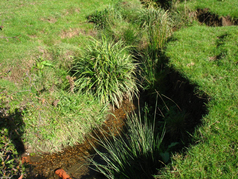
The Dollis Brook, currently running east towards Barnet, then turning south,
later to become the River Brent, eventually reaching the River Thames at
Brentford.
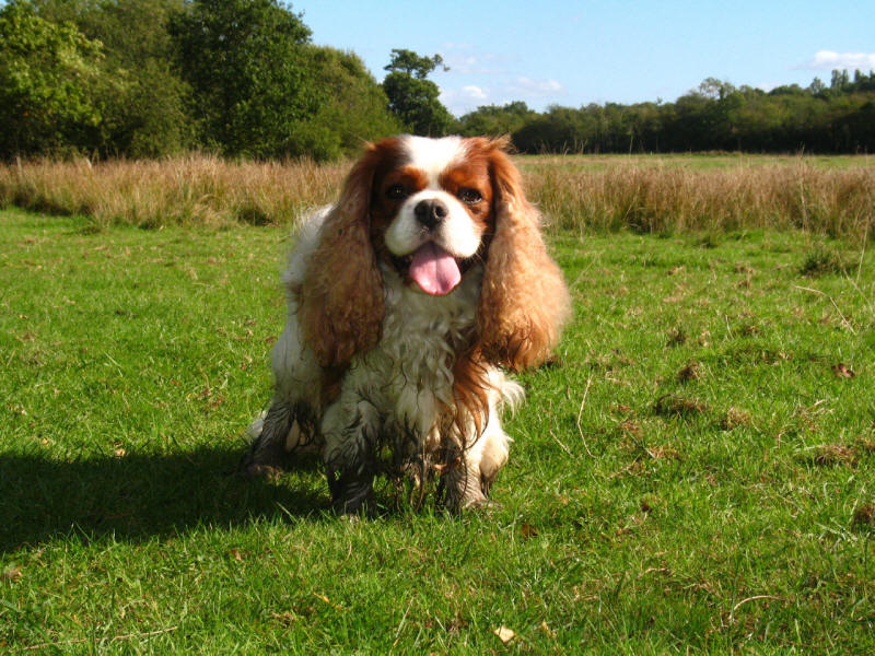
A rather muddy Henry on the Dollis Valley Greenwalk
And suddenly we are on the edge of Barnet. At this point the guidebook told us
to take a small stile, but the gap in the fence looked as though it had been
there for years. This green band between houses and the brook went on for a long
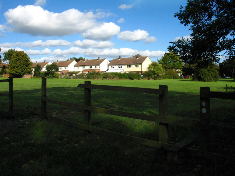
way, without a single bench or other place to sit. Eventually we reached playing
fields on the far side of Barnet Lane where there was somewhere to sit and have
lunch.
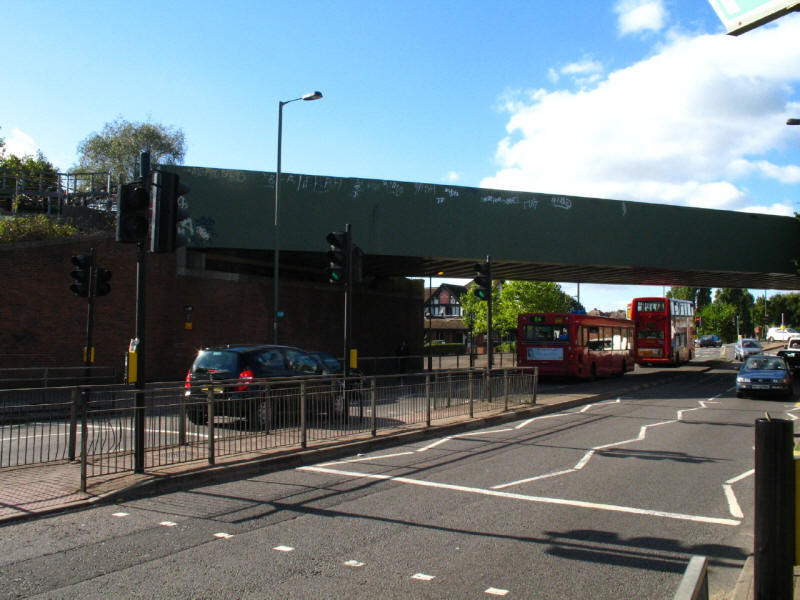
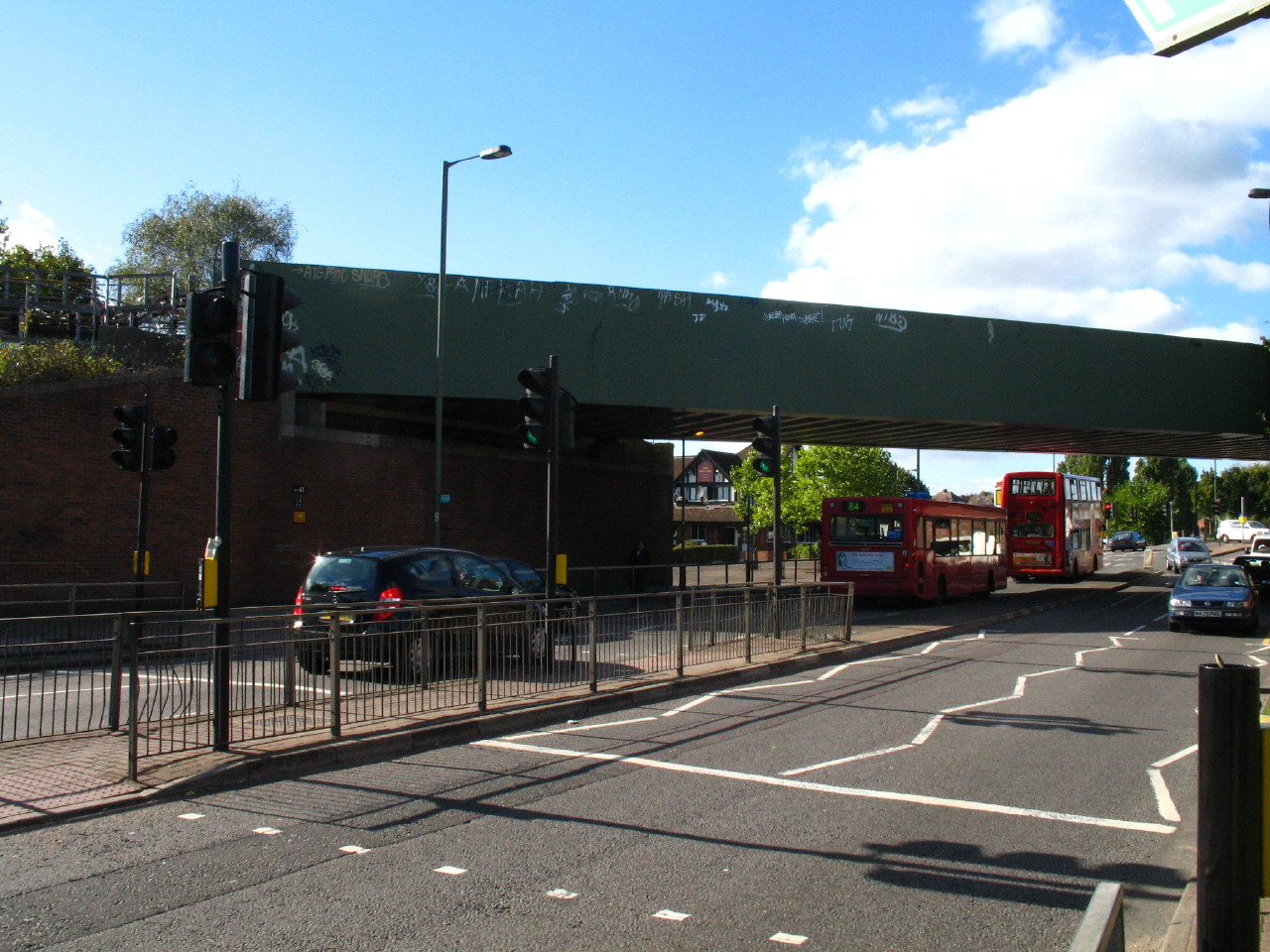
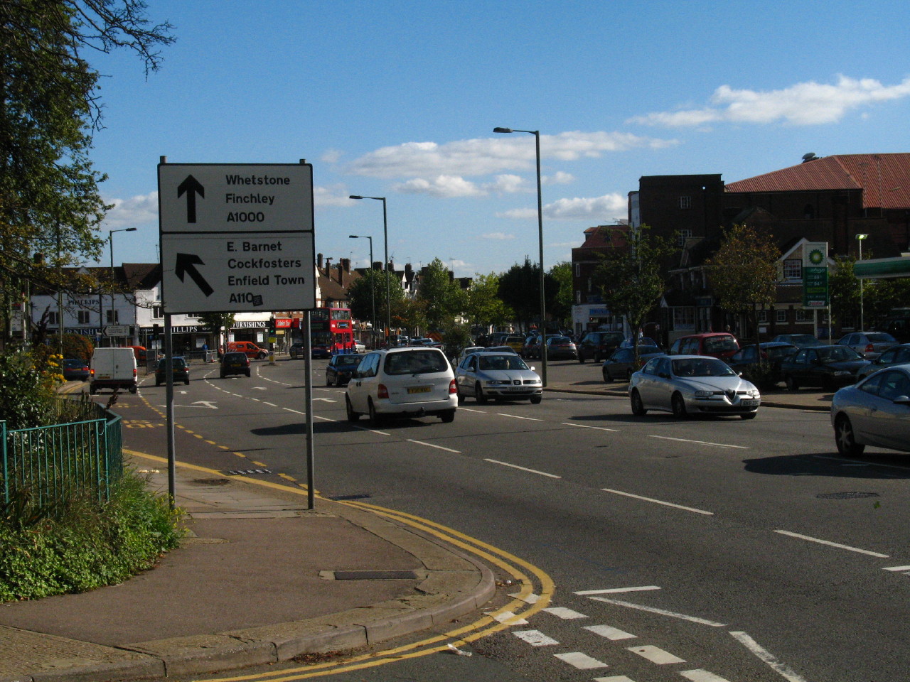
We then crossed under the Northern Line railway, and crossed over the A1000, the
old A1 Great North Road.

A signpost for Enfield Town shows we must be near our starting place.
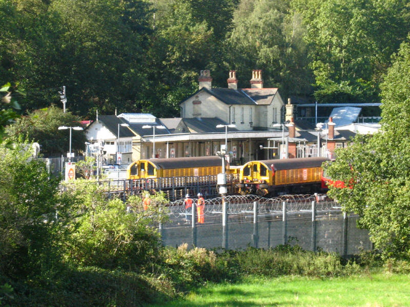
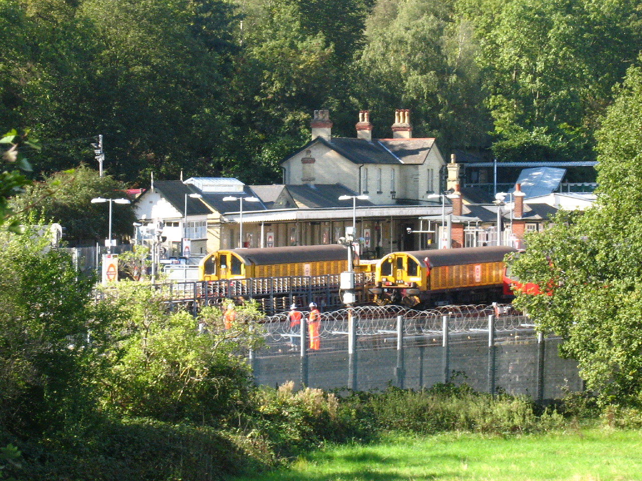
As we head north through Barnet, a view of High Barnet Northern Line station,
with the maintenance trains in view.
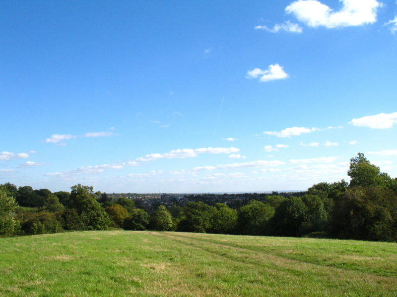
We then climb up through King George's Fields, bought and made open to the
public to celebrate King George's reign in 1936. The view to the south-east
across London was very extensive, to the QEII Bridge 38 kilometres away and the
North Downs further still.

We then reach Hadley Green common and Joslin's Pond. Nearby the Battle of Barnet
was fought in thick fog on Easter Sunday, 1471, a key battle in the War of the
Roses: in the poor visibility, the Earl of Warwick's army started fighting each
other and Warwick was killed, allegedly trying to escape when he realised his
army was beaten.
There is an impressive array of old and expensive houses along the edge of the
common, contributing to the designation in 1968 of much of the parish as a
conservation area under the Civic Amenities Act.
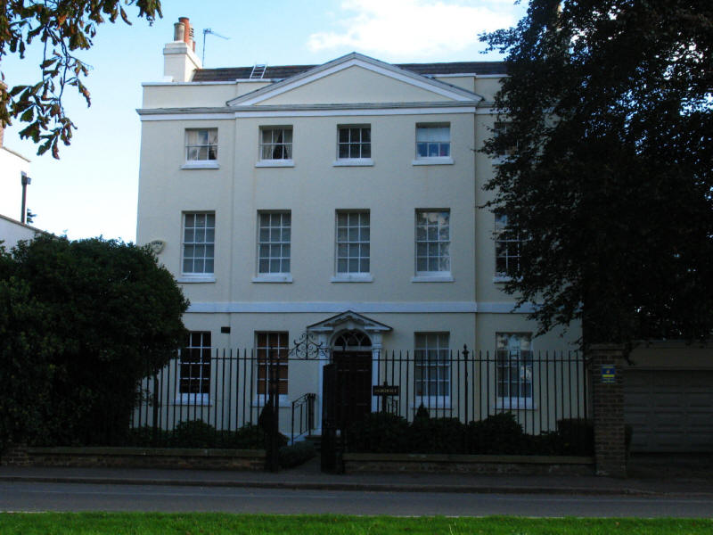
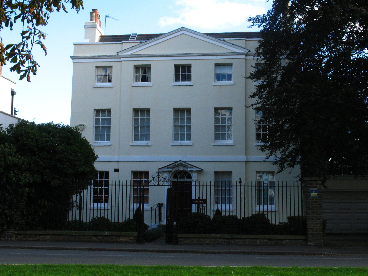
Fairholt, a stuccoed house built in 1767 with a central pediment and a
pedimented doorcase.
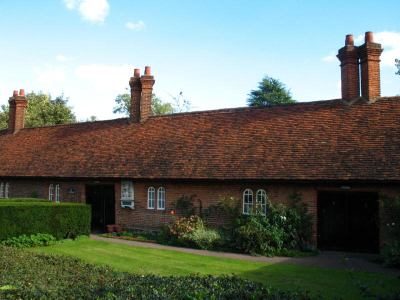
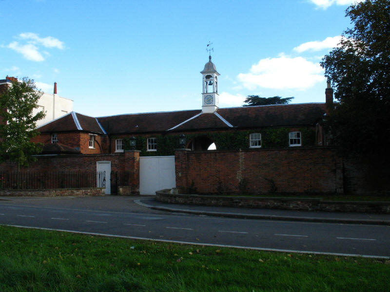
Wilbraham's almshouses, founded in 1616 by Sir Roger Wilbraham for ‘six decayed
housekeepers’, and still administered under the original charity
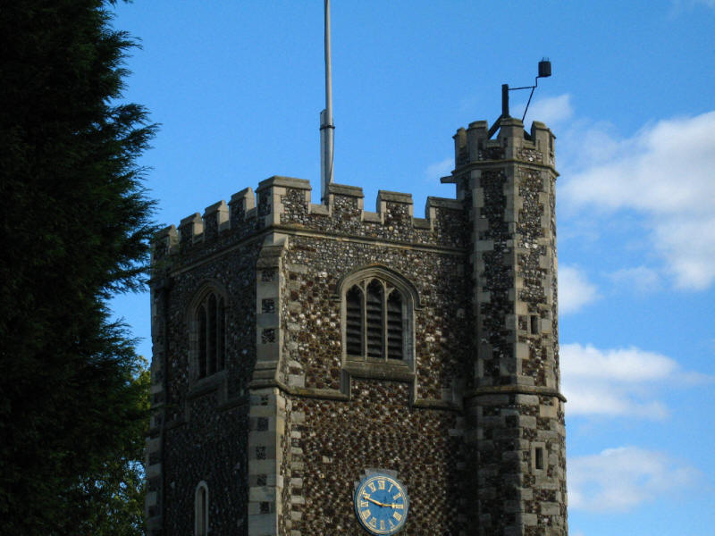
The Armada beacon on Monkey Hadley church
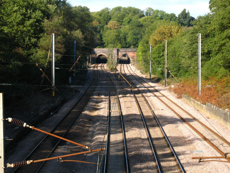
Looking north along the East Coast Mainline railway and the southern tunnels of
Hadley Wood.

We then continue through the delightful young beach woods of the long but narrow
Monkey Hadley Common.
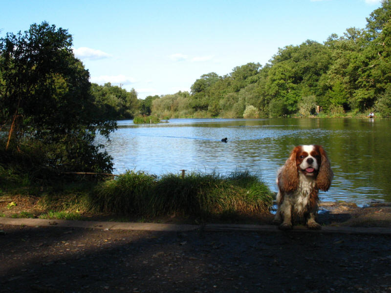
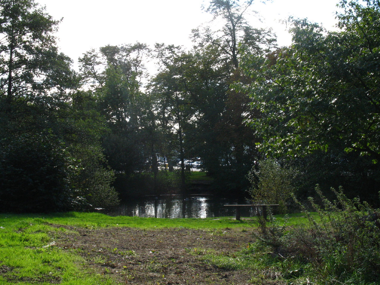
After crossing Pymme's Brook, we make a small diversion to Jack's Lake, created
around 1880 by Charles Jack as a feature in the grounds of his Beech Hill House.
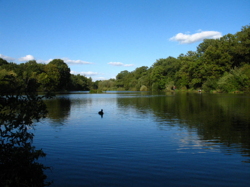
It looks beautiful on this pleasant October afternoon.
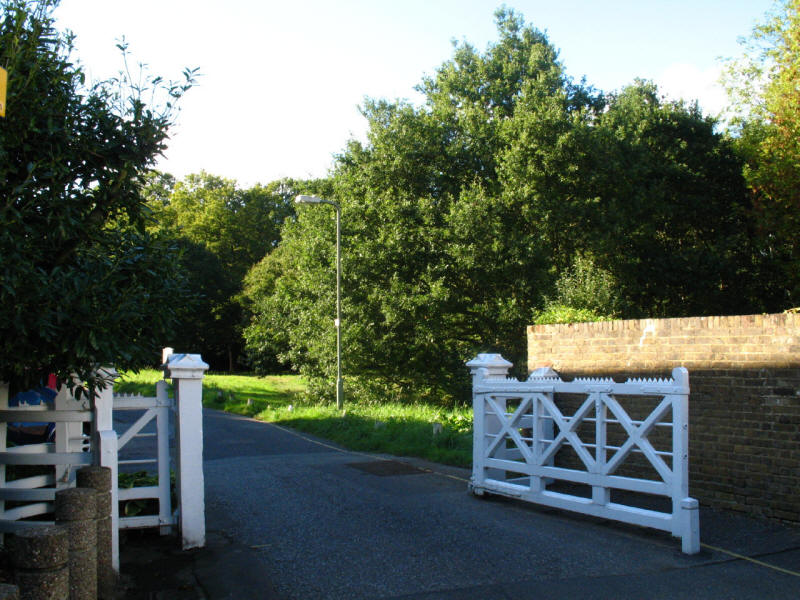
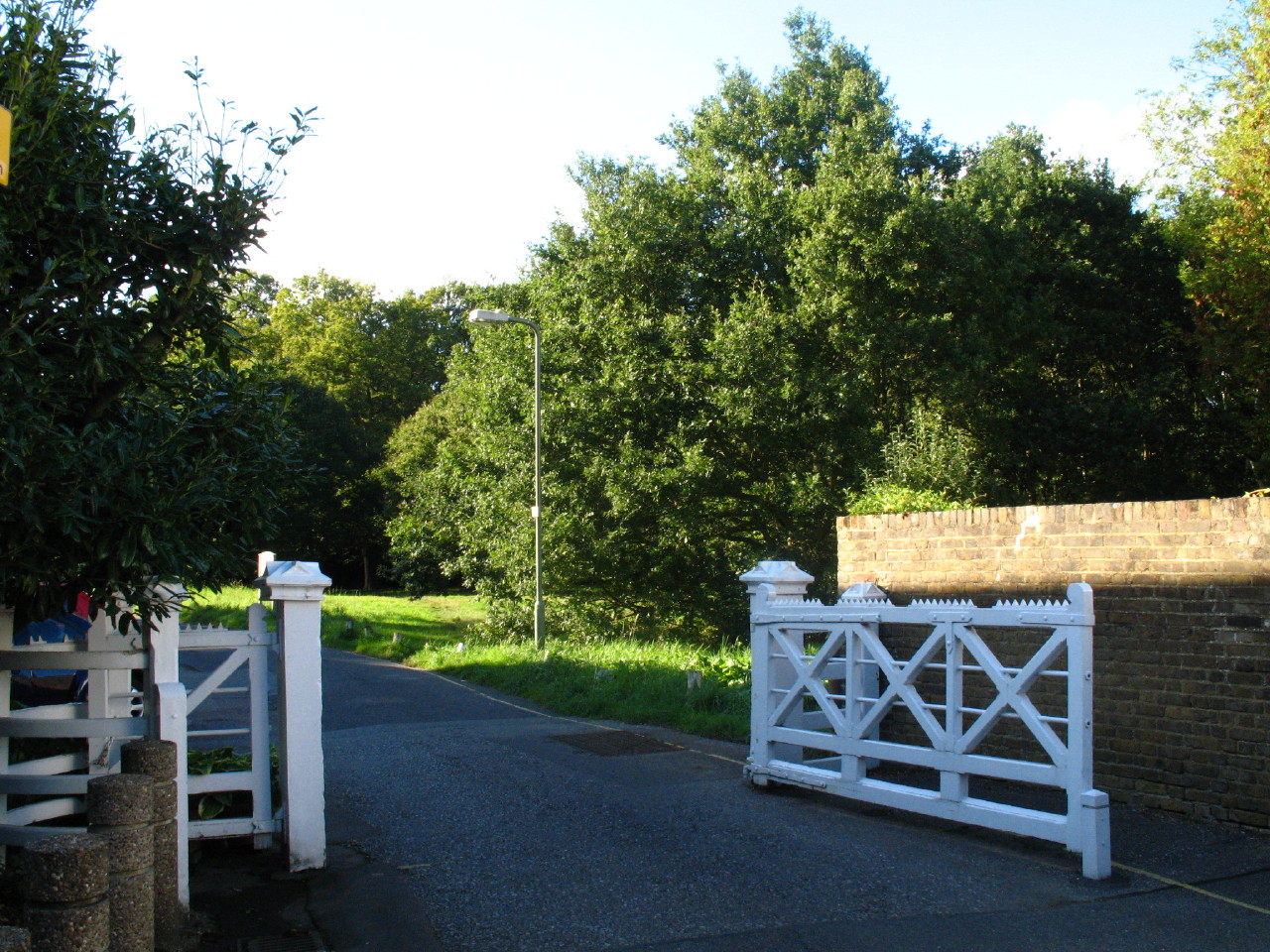
The white gates show that we are leaving Monkey Hadley Common.
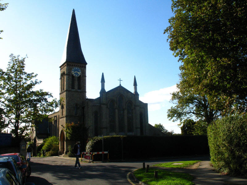
We enter the borough of Enfield and pass Christ Church, Cockfosters
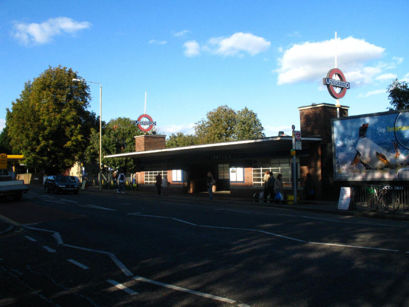
and reach Cockfosters Underground station, the end of the Piccadilly Line.
Today's walk started very tediously, with lots of road-walking, and Henry
initially being
a nuisance too, but once across the A1 it was very pleasant, with the walk along
the Dollis Brook and the woods of Hadley Common the highpoints. Only about 15km to go to reach Enfield Lock.
London Loop Section 16 Hatch End to Elstree: 18.7km, 5 hours 10 minutes
(including 70 minutes stopped), 337 metres of ascent, plus 300 metres of link
walk.


|