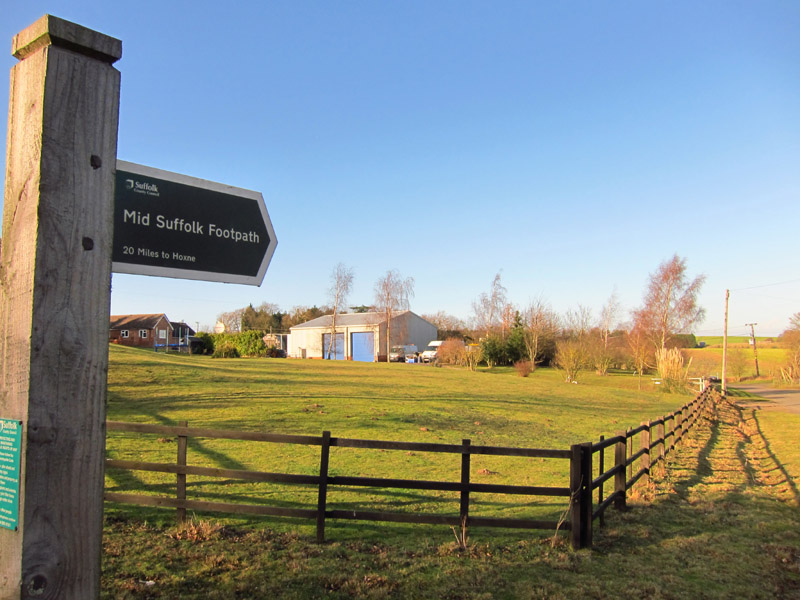
Mid-Suffolk Footpath 3: Mendlesham to Stowmarket
14 January 2012
With Lucy having a choir rehearsal in Stowmarket,
there was just the right length of time for Stephen to complete the
Mid-Suffolk Footpath, being dropped off in Mendlesham at 9.35 ready to
be picked up in Stowmarket at the choir's lunch break.
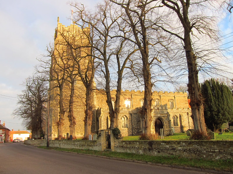
The church of St Mary the Virgin in Mendlesham as we make our way out of
the village on a cold but pleasant morning.
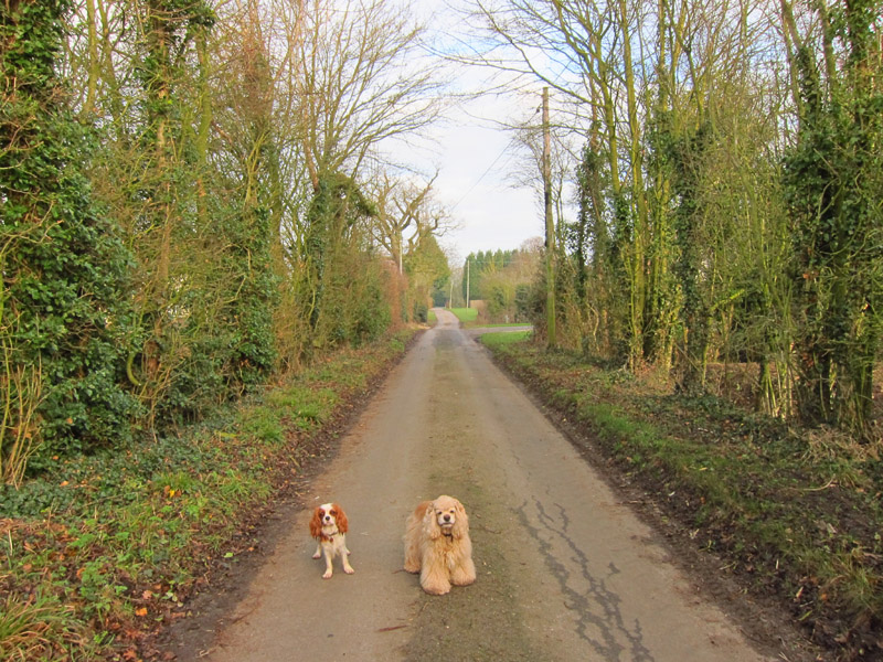
Our way first lies along this very quiet road - at this early stage,
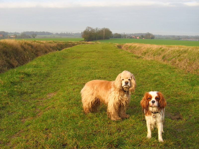
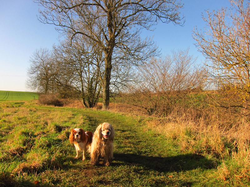
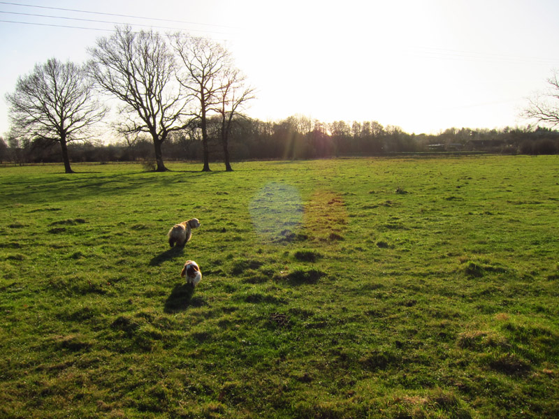
George still looks clean and fluffy
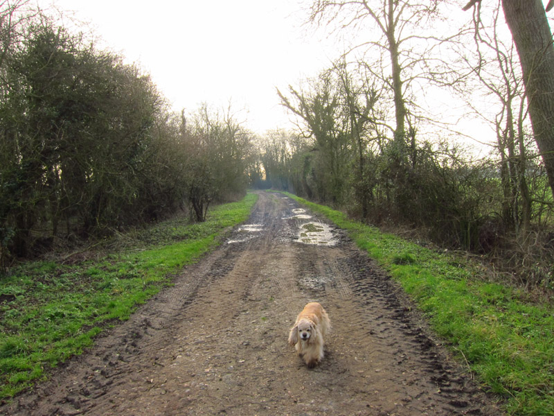
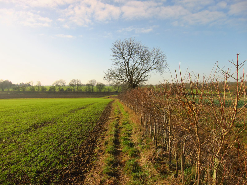
Which once past Oak Farm and Ashes Farm turns into this track, which is
already having its effect on George
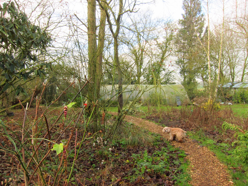
At Tan Office Farm, we turn off the track as it becomes a road again. It
looks like George is sneaking through someone's back garden, and he is,
but this is a public footpath - nicely surfaced with wood chippings,
too, so it doesn't get muddy.
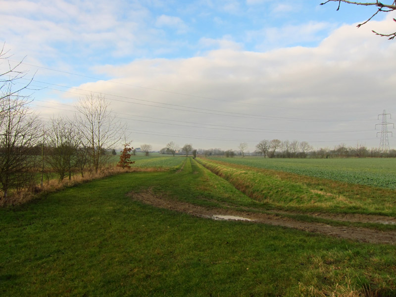
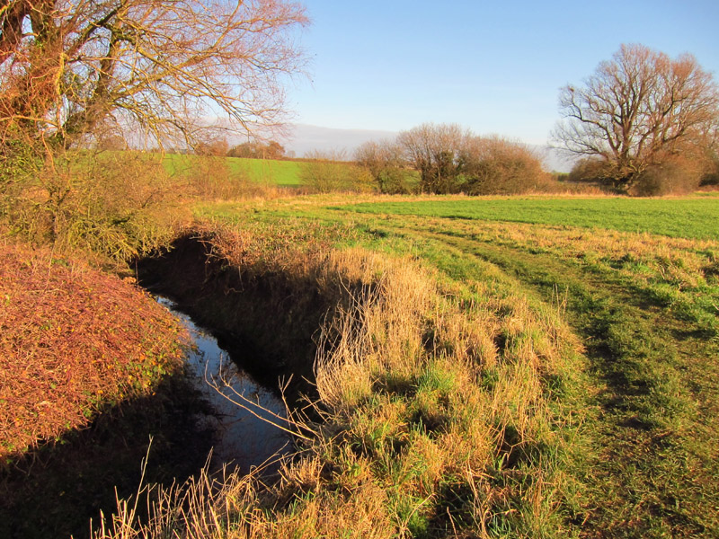
We emerged from the garden onto farmland, our route ahead being
alongside this drainage ditch, which has a claim to being the source of
the River Gipping
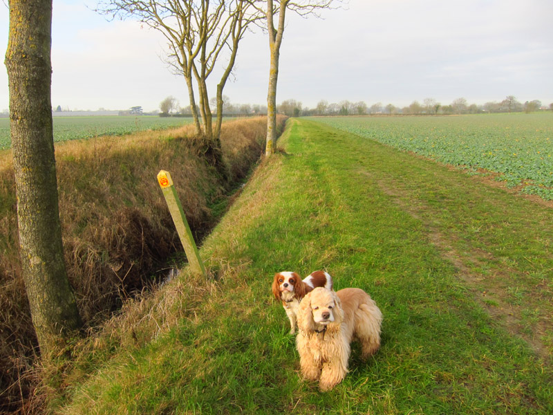
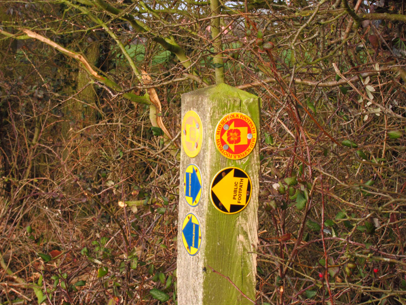
The Mid-Suffolk Footpath marker post points us alongside the infant
Gipping, now on our left
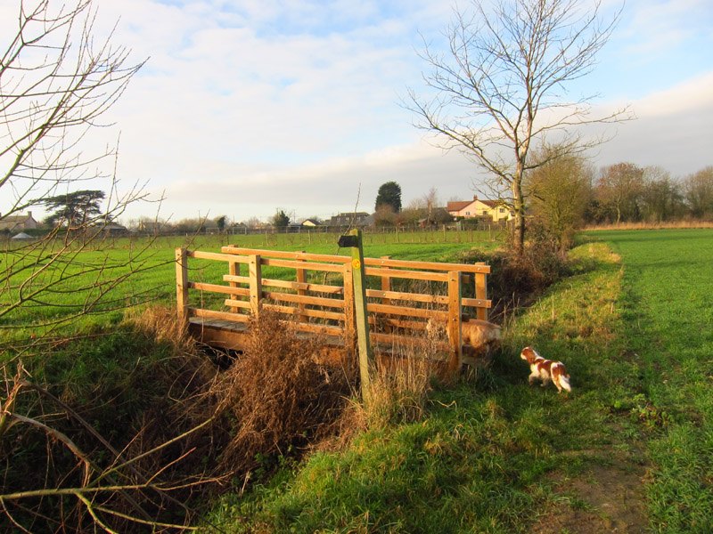
A bridge takes us back to the other bank again
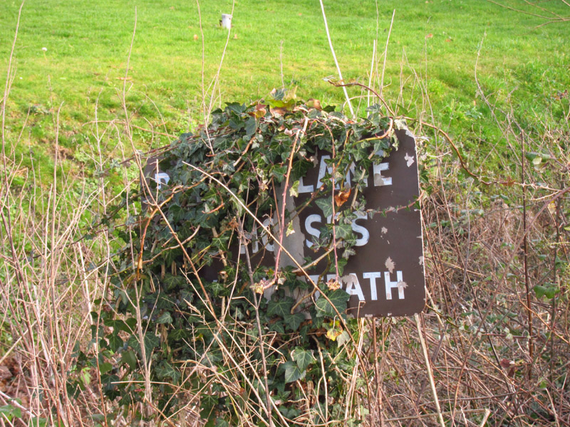
As we leave the village of Mendlesham Green, this sign caught my eye,
but could perhaps do with a little TLC
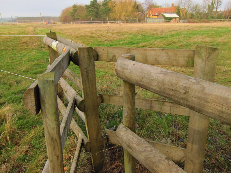
I wonder if there is a design specification for these squeeze stiles,
because this one is rather narrow for me.
A track along the edge of fields leads us to a cross-path where we turn
right along this grassy track between ditches, called One Hundred Lane.
Further along, a busy marker post tells us to turn left
But there is no evidence of the public footpath on the ground, nor
clarity about which is the precise direction. The Ordnance Survey map
shows this public footpath, but shows the route of the Mid-Suffolk
Footpath being rather further to the west, as does the
official leaflet of the
Mid-Suffolk Footpath and I decided to investigate.
As I suspected, the leaflet and OS route was along the field edge, and
that seemed easier so that's the way we went
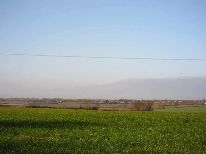
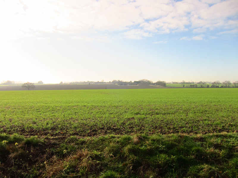
There then followed a long section of road walking past the track to
Palgrave Farm and then past Rookery Farm, Wood Farm, Gipping Farm and
Water Run Farm. This is the view across the Gipping valley. On the right
just above the cloud you can spot a microlight.
At long last we left the road for a walk along the banks of the Gipping,
now a real river rather than a ditch
Soon after this we returned to the road for another long section,
including a busy though fortunately short section along the B1113
The B1113 took us over the river at Newton Bridge, and at Bridge Farm we
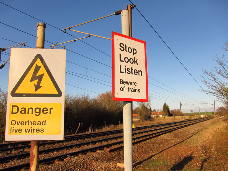
turned left and carefully crossed the railway. This is the mainline from
Ipswich to Norwich
A short walk along a track brought us to the meadows by the Gipping,
open to the public. The route of the public footpath wasn't entirely
clear, however.
Safely out at the other end, a short track brings us to the road off the
A14 into Stowmarket, from where we look back
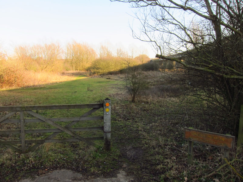
But there is one last gasp of countryside in Greens Meadow...
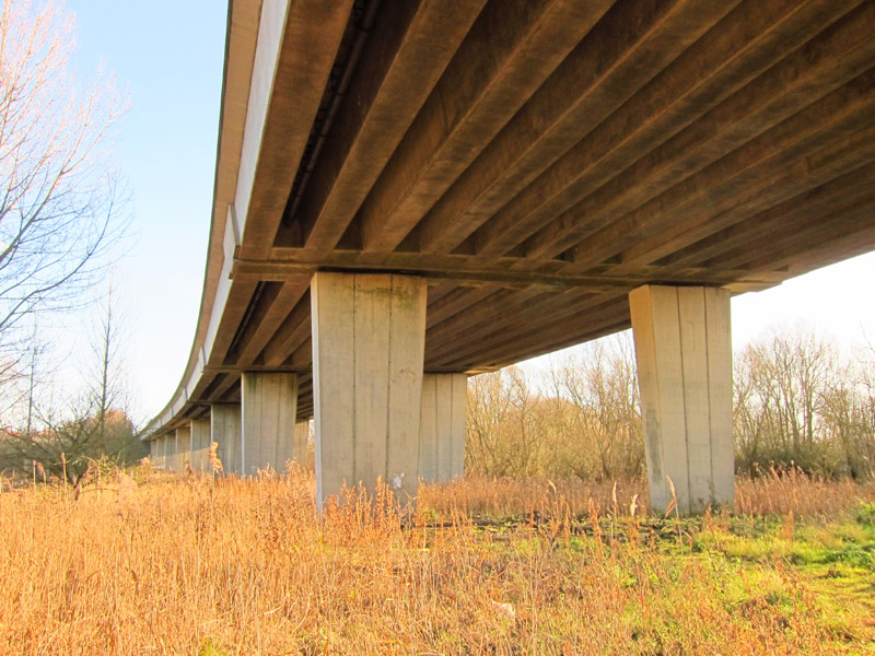
...somewhat dominated by the A14 viaduct
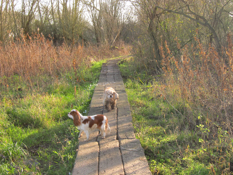
A boardwalk takes us safely under the viaduct, and we emerge at the
sports club where the Mid-Suffolk Footpath ends.
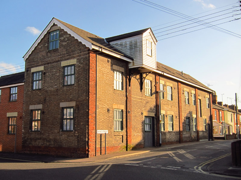
But we have a short link walk to do, passing a warehouse by the Gipping
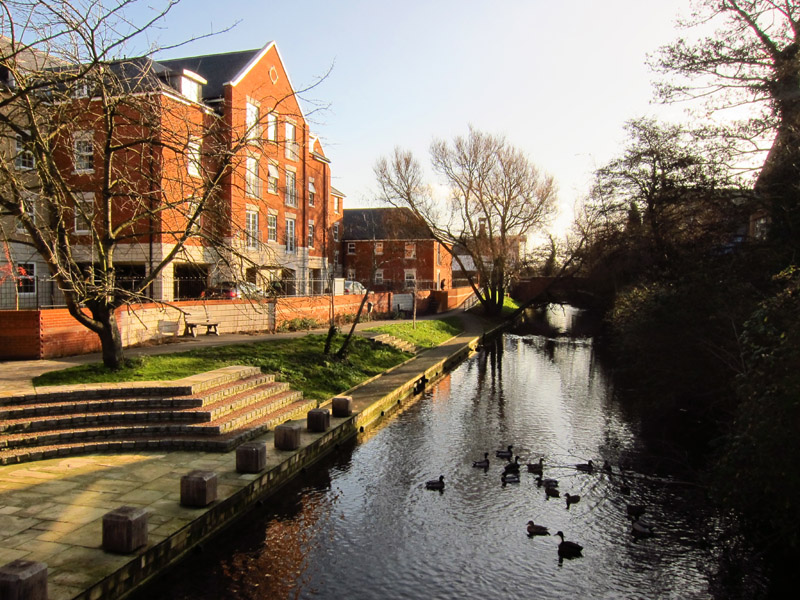
And to the start of the Gipping River Path: this short section, to the
next bridge just visible, was closed
when we walked the Gipping River
Path, so walking this section now fills that gap, and means that
Stephen has now walked from Norfolk along the Mid-Suffolk Footpath, down
the Gipping River Path and the
Stour and Orwell
Walk to the sea at Felixstowe. Later this year should come the
Suffolk Coast Path, extending that continuous series of linked walks
northwards up the coast.
Total 15.0 km in 3 hours 36 mins (about 13.7 km along the Mid-Suffolk Footpath, plus my extension into Stowmarket
to the start of the Gipping River Path).


|