North Downs Way:
Wrotham to Rochester
23 September 2007
With Lucy taking Henry to another dog show in Maidstone, Stephen and
George went for a third walk along part of the
North Downs Way, being dropped off in the village of Wrotham, sandwiched
between the M20 and M26.

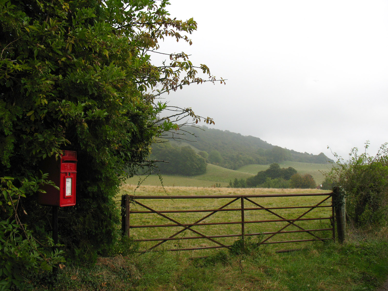
As we make our way along a tarmacked bit of the Pilgrims Way, a look onto the
Downs reveals a misty start to the day.
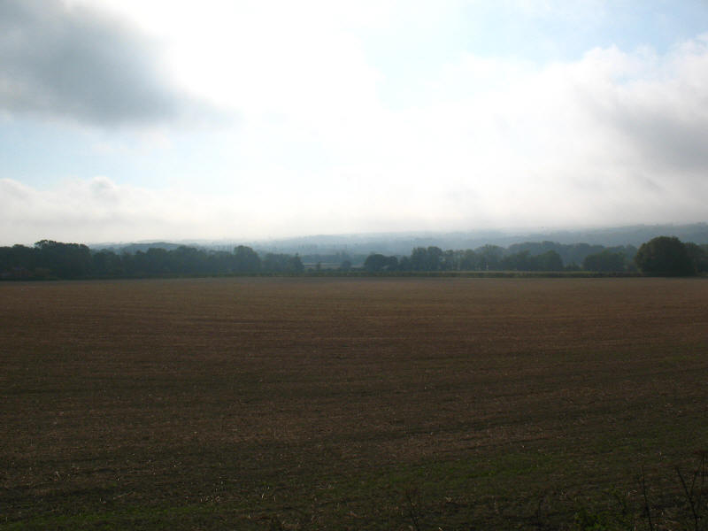
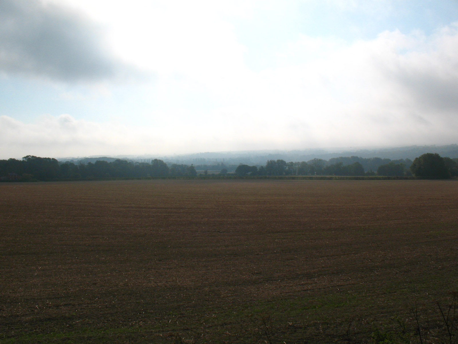
Breaking mist towards the Medway valley
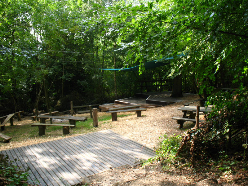
We have now made the fairly steep ascent onto the top of the escarpment of the
Downs, and pass a small open-air theatre in Trosley Country Park.

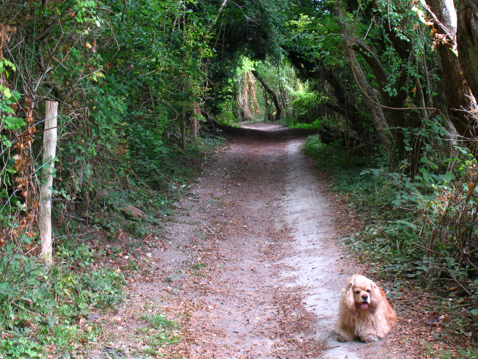
Having descended from the Downs, we are back on Pilgrims Way, here a bridleway

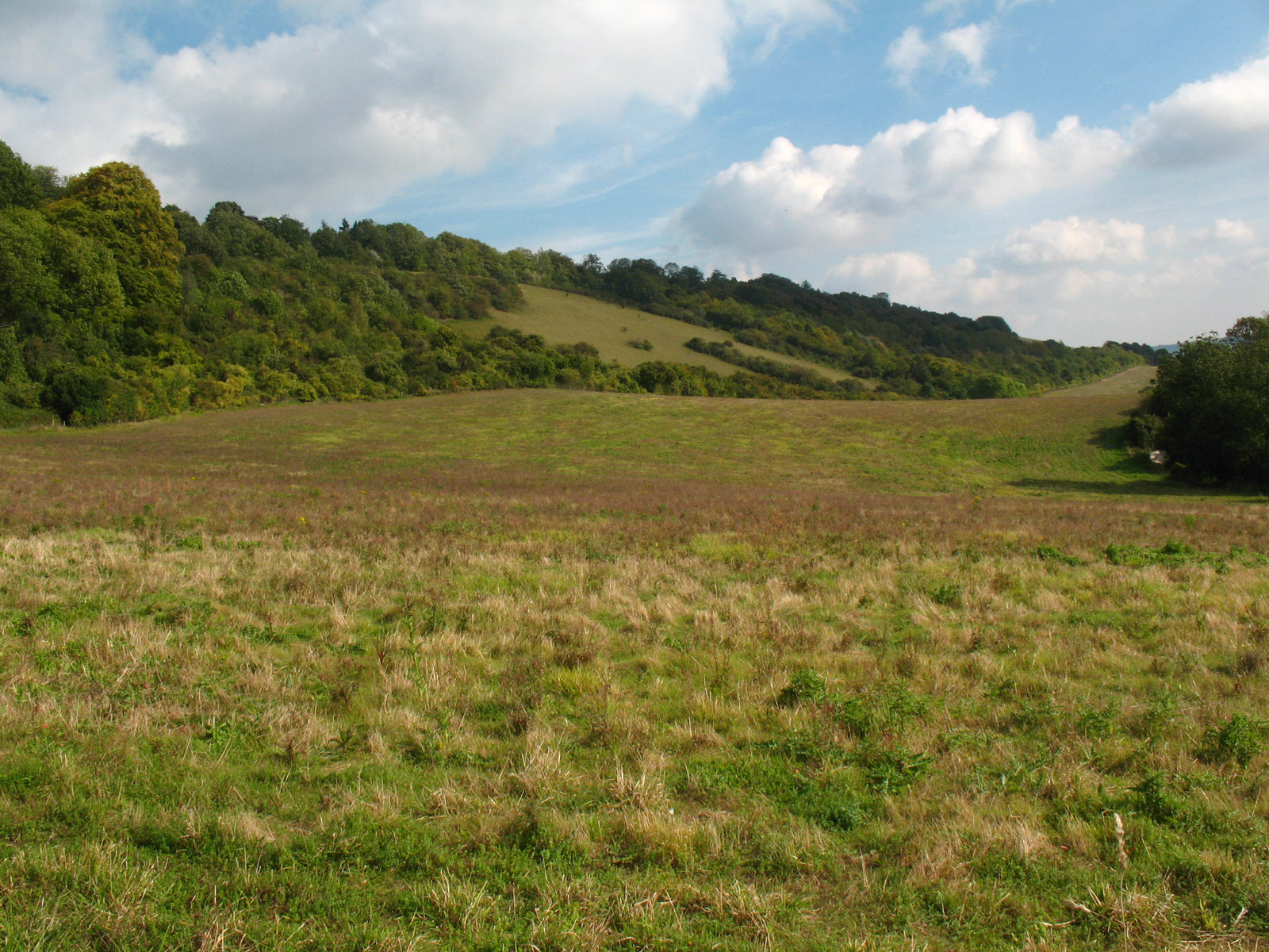
The day is improving, but as the weather warms up, we have another ascent onto
the Downs to do
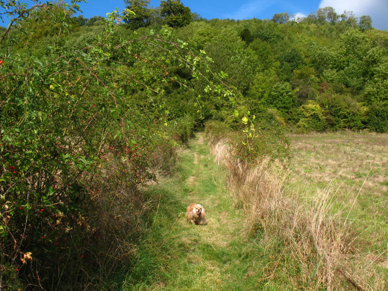
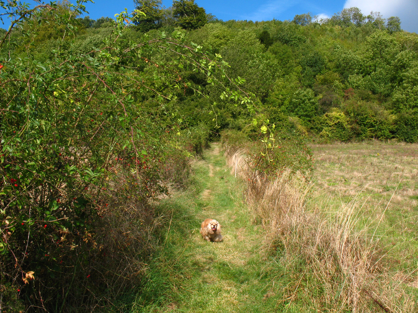
George comes back to get me as we start the ascent onto the top of the
escarpment.
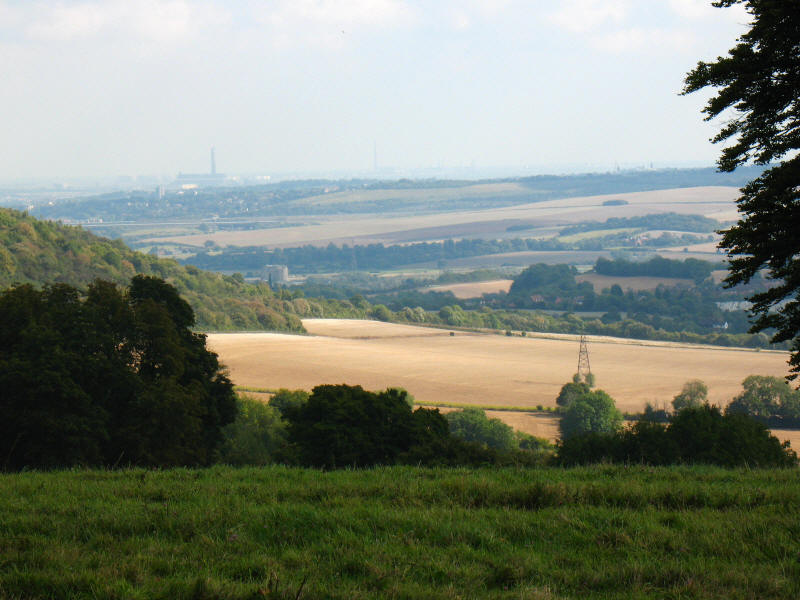
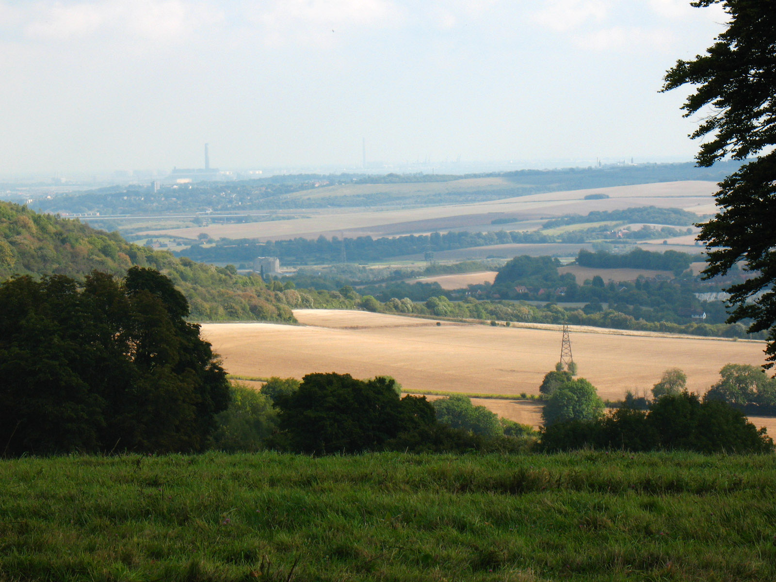
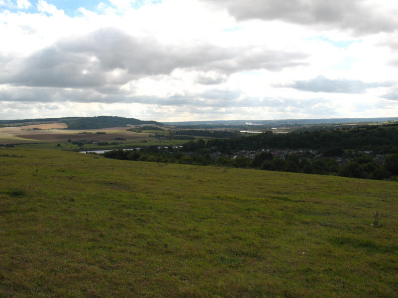
From near Holly Hill, the height gives us the opportunity for a view over the
Medway valley, with Chatham in the distance. The straight line cutting across
the picture near the top on the left is the M2 motorway and High Speed 1 rail
line. The M2 is our end point, but it is still 2 hours away.
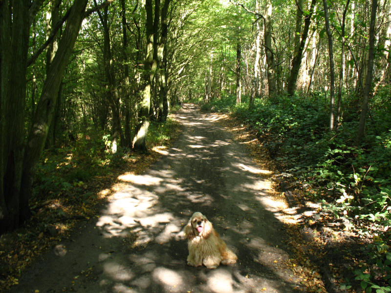
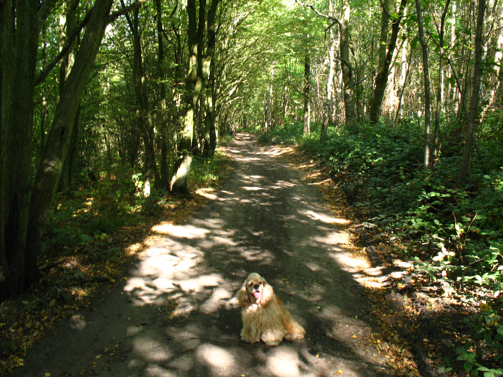
Dappled sunlight as we make our way through Greatpark Wood.

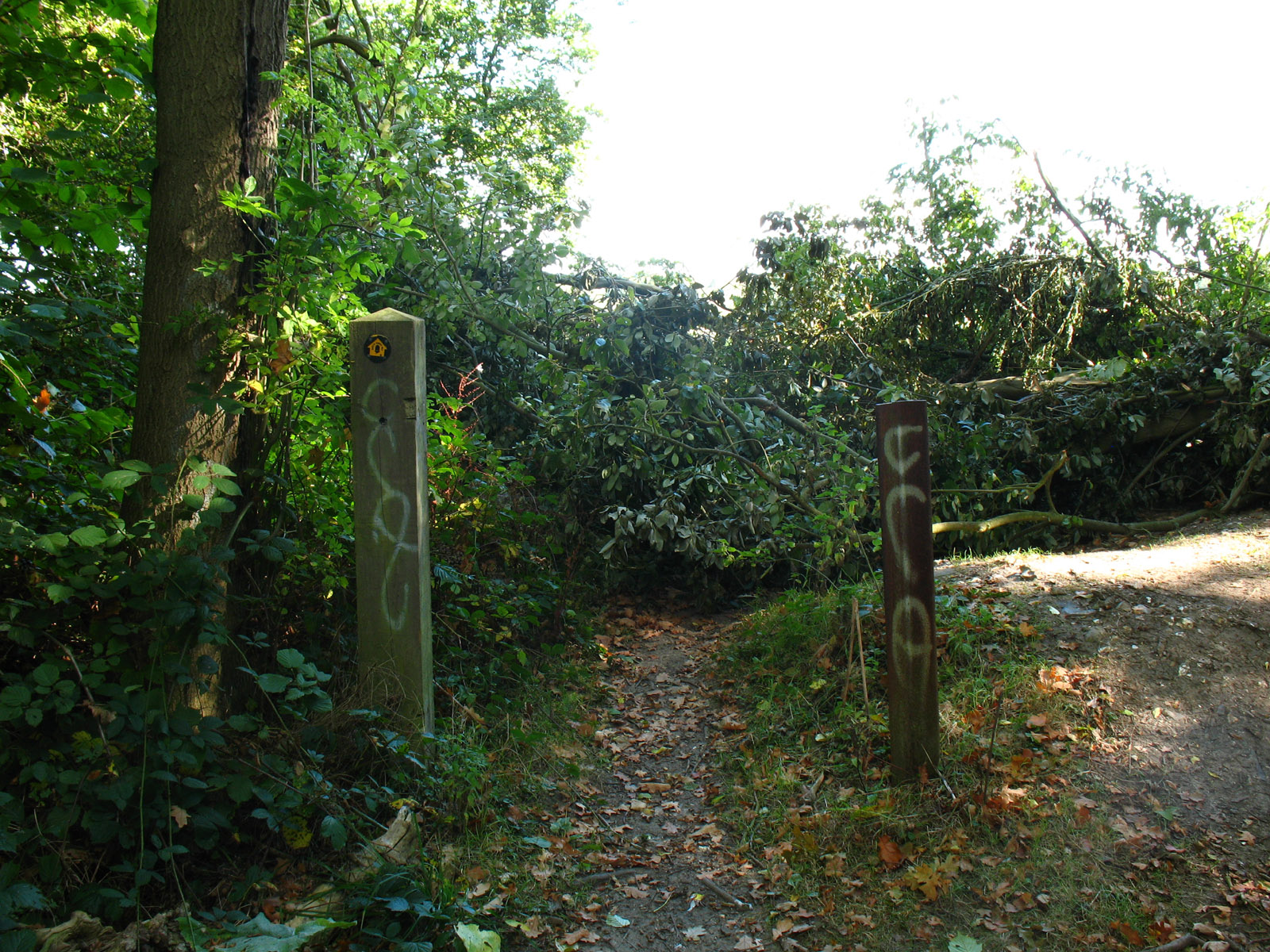
About to emerge from Greatpark Wood, the arrow says to go straight on, but a
small diversion is called for.
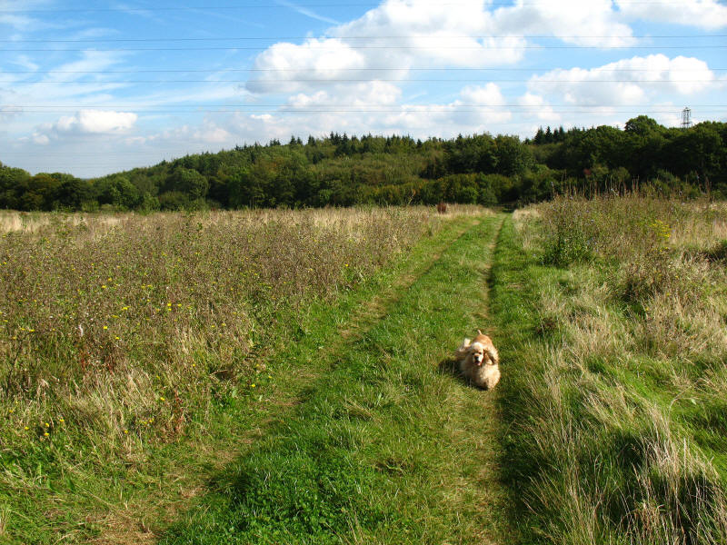
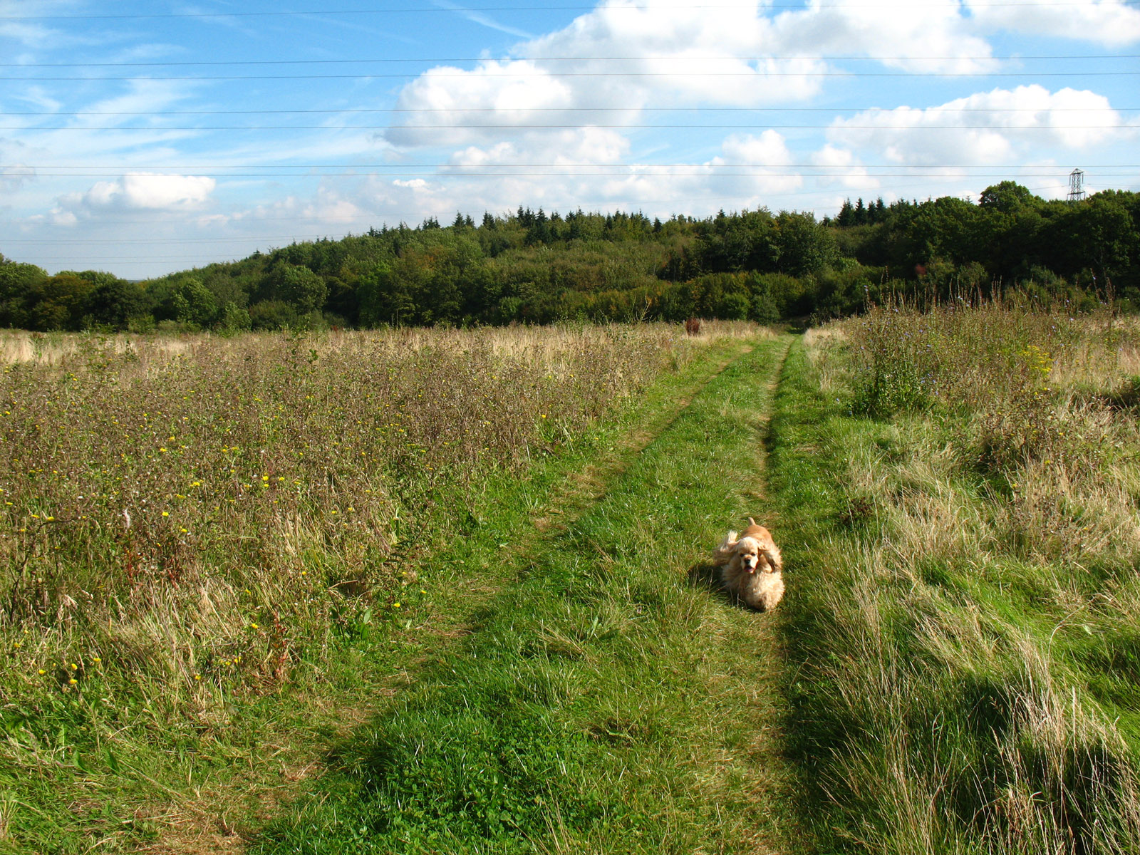
Happily emerging from the woods for a while, we pass through formerly arable
fields, now used for pheasant farming.

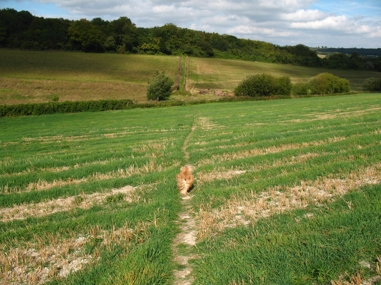
As the North Downs Way makes a loop around the large village of Cuxton, there is
a fair amount of undulation. Down and up...
... and down and up...

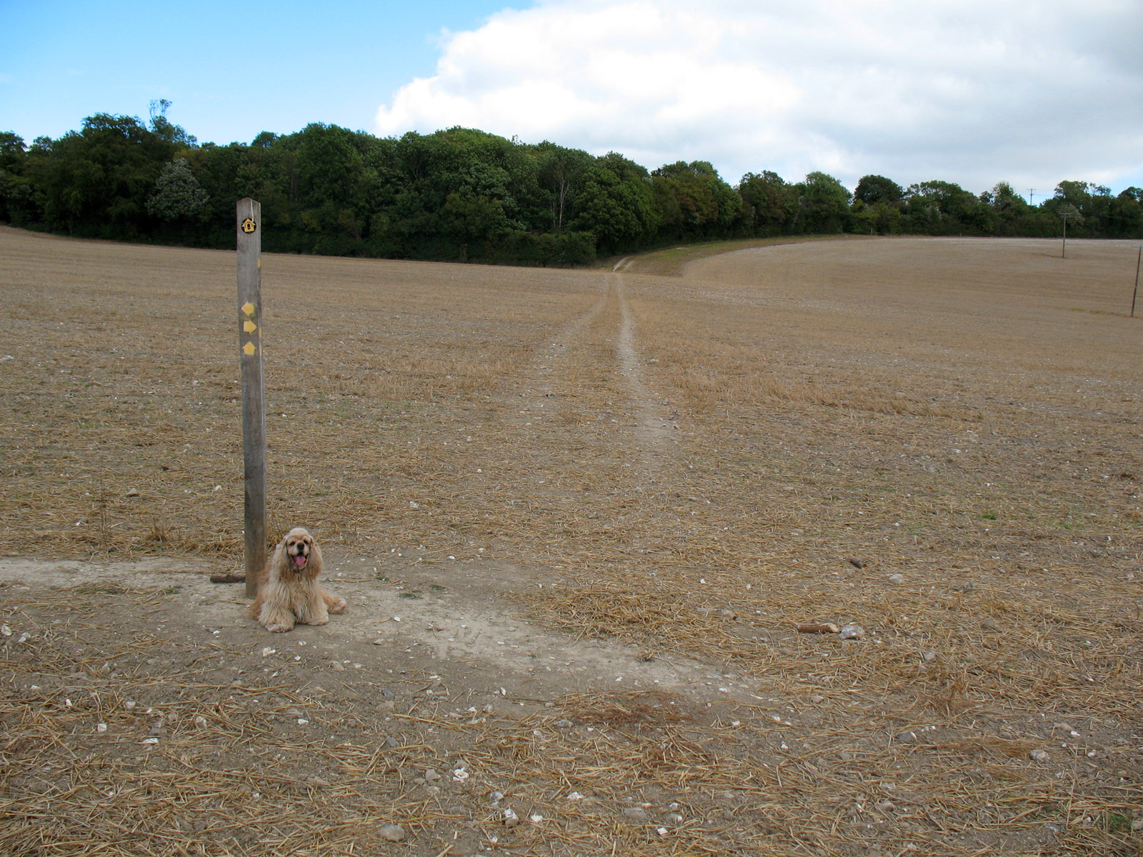
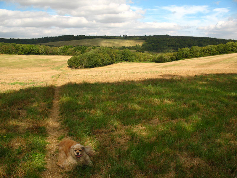
...and down and up. This photo doesn't quite capture the oddity of this
situation - the wooden direction post is sitting in the middle of this bare
field. It is serving a valuable purpose, and helps to ensure that the footpaths
that cross the arable field remain clear for walkers when the field is less
barren, but it did look odd!
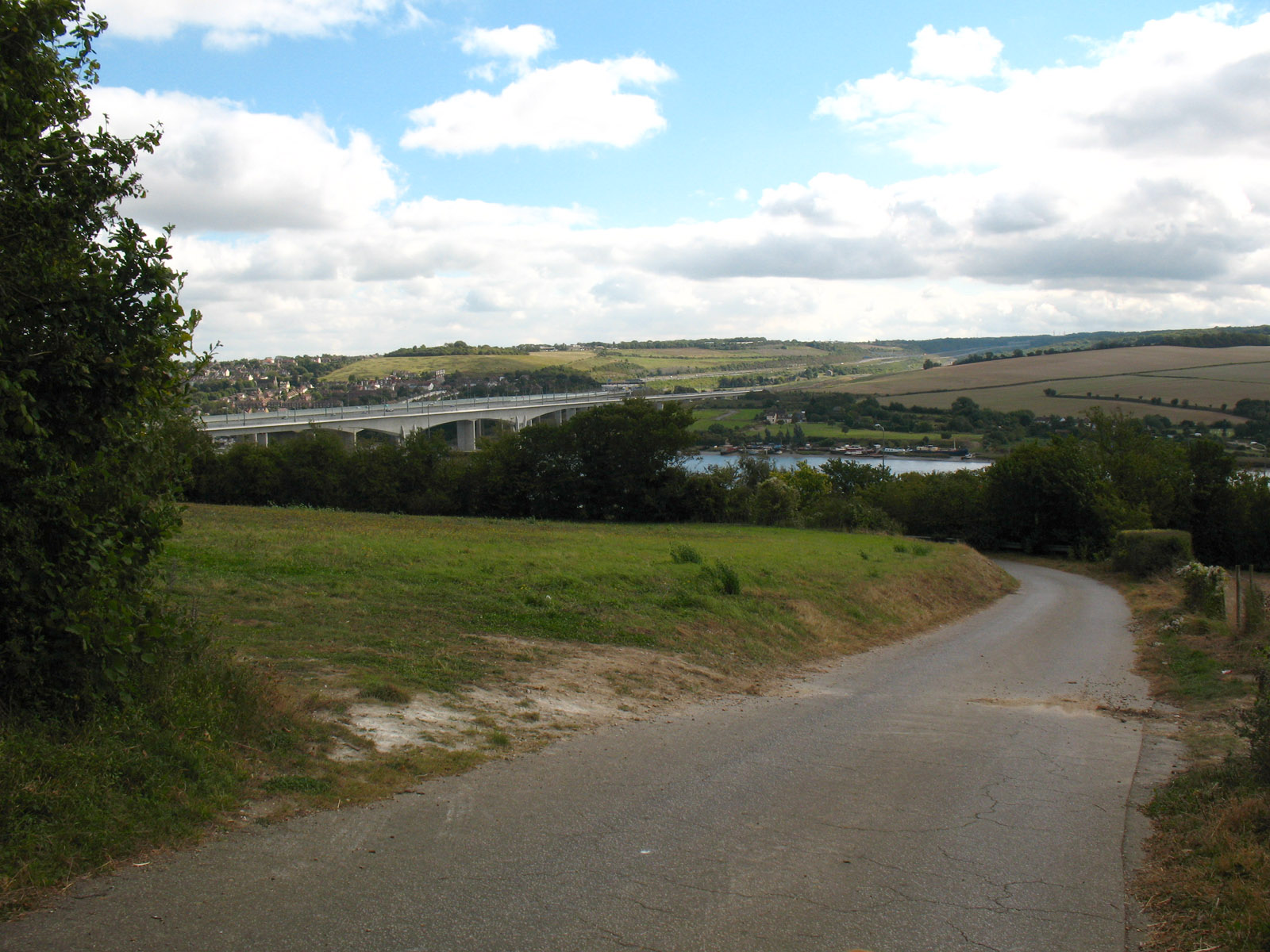
Having ascended to Upper Bush, descended to cross a road, crossed the railway
line from Strood through Swanley, we make our final ascent of the morning, and
the Medway is much clearer now.
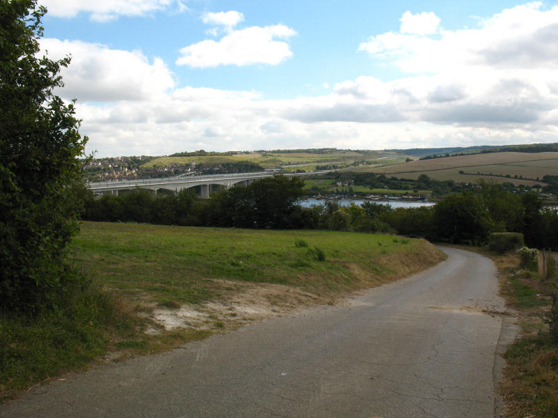
The final descent, down towards the Medway and the crossing of the railway and
M2.
This was a very wooded walk, and one with a surprising amount of up and down,
and I think we walked it rather faster than was perhaps ideal though much of the
walking was fairly easy going, and it made for a very pleasant morning.
Total distance on the GPS was 17.5 km (all on the Way) with 494m ascent, in 4 hours
5 minutes (3 hours 40 mins moving) - that means that about 31% of the
North Downs Way is now walked.
 

|