Peak District: Lathkill Dale and Bradford Dale
27 October 2012
Although my last visit to the Peak District seems like only
yesterday, I was somewhat startled to discover that it was five years ago that I
explored Dovedale from near Ilam.
So having planned a day's walking, when the weather forecast seem to put paid to
an East Anglian walk, I headed northwest to the Peak District for another visit.
I have a file of "future walks" planned on the computer, and I selected this one
more on the basis of its length and relatively southerly location than anything
else, but it proved to be a delightful walk.
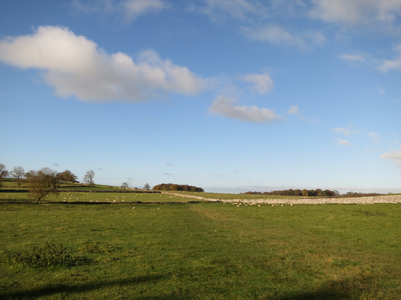
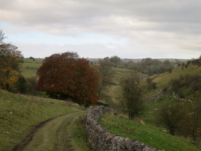
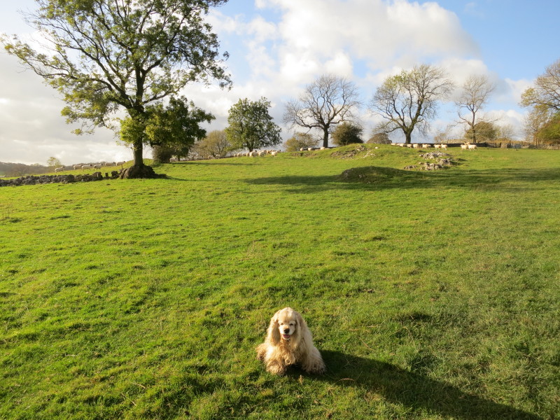
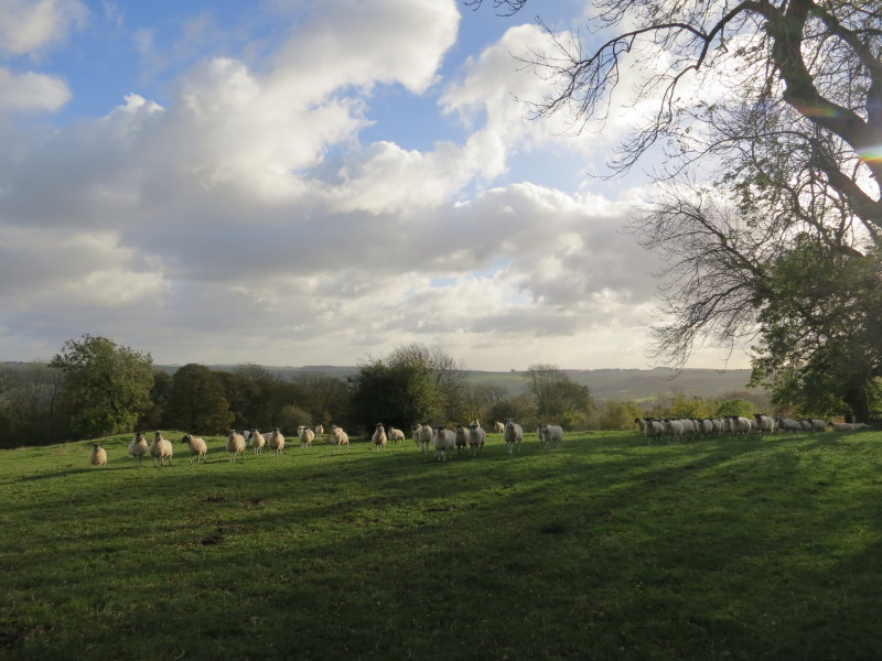
After setting off from the car parking area, this is the view that greets George
and me. Blue skies, green fields with sheep, and limestone walls. The first two
of many, many stiles today will take us across the wall corner into the field on
the right and then on towards the woodland.
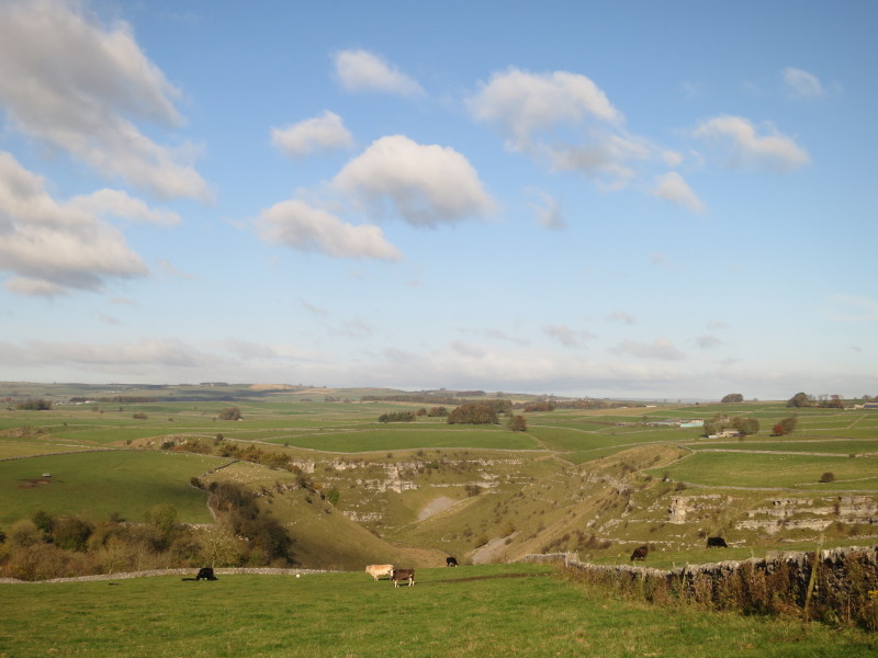
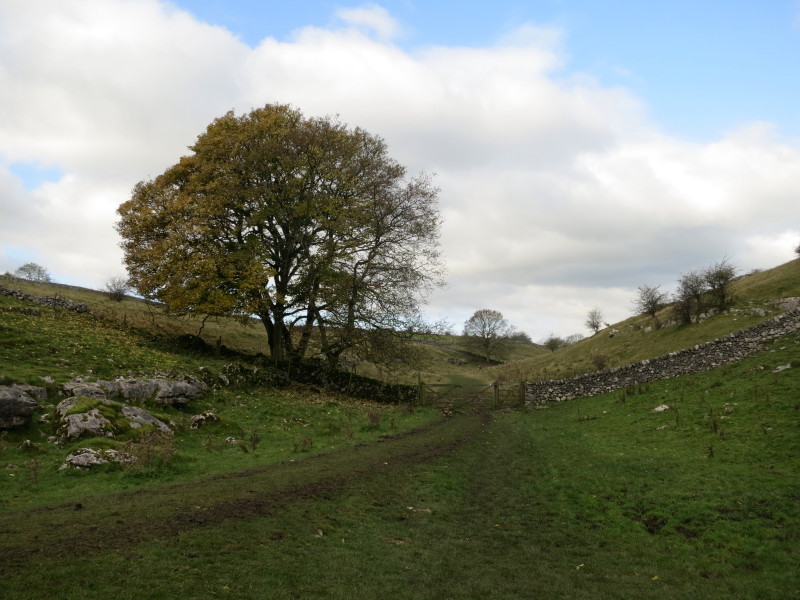
The start of the walk is relatively level, but the views to the north show what
most of today will be - limestone dales. We will be down there a little later.
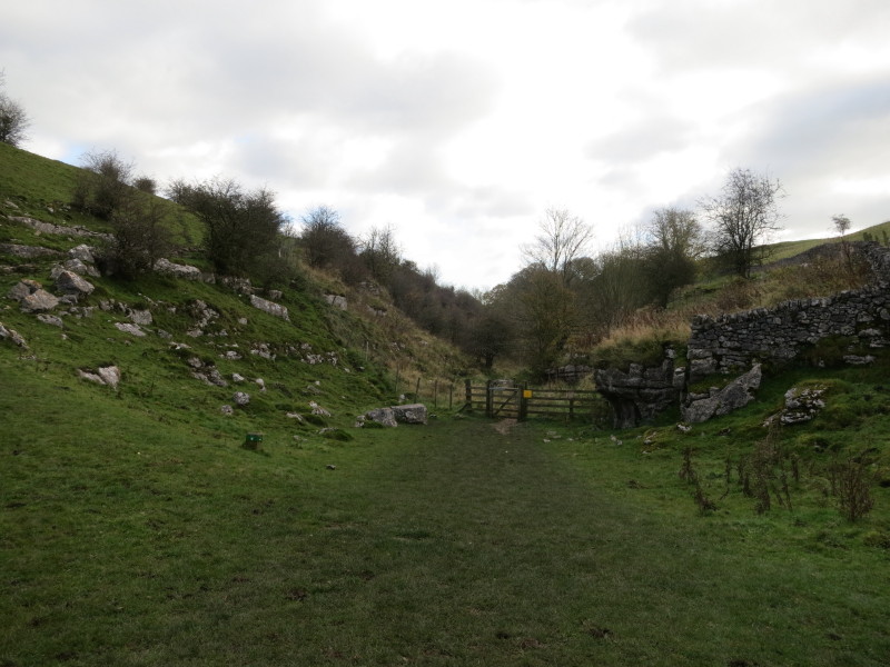
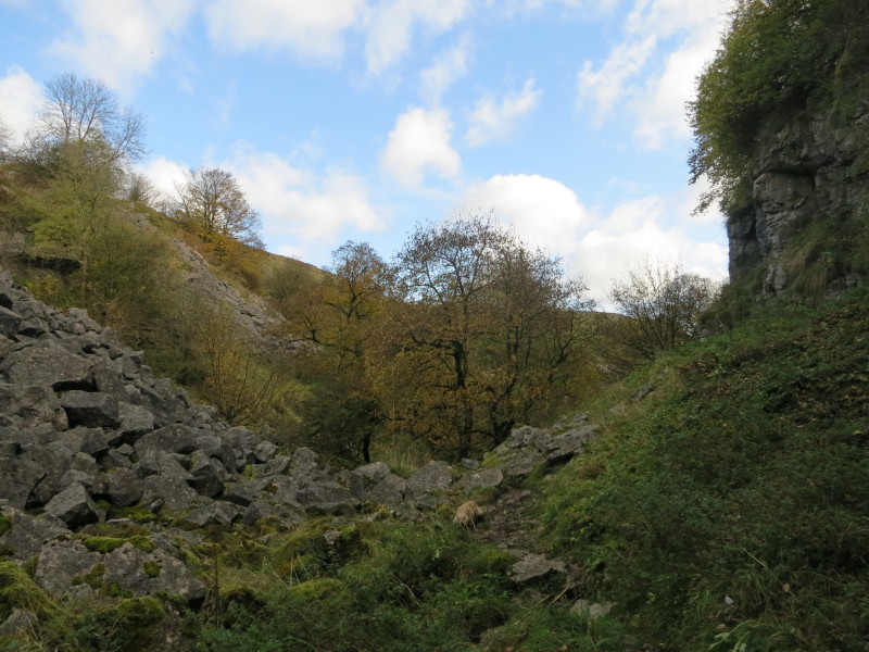
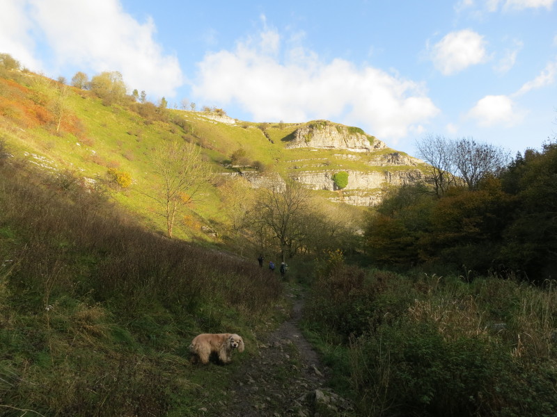
First we descended steeply into Cales Dale, a side-dale off the main Lathkill
Dale. There were several groups of very noisy teenagers out hiking who we passed
on our way down and at the bottom.
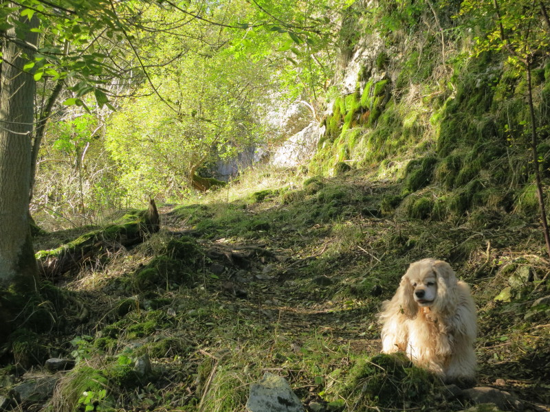
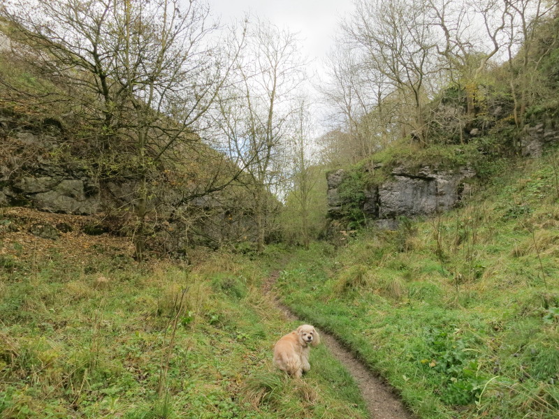
We then immediately started our ascent out of the dale. George is having a great
time but his feet are already a very different colour.
Climbing out of Cales Dale
There was then a walk through a farm and along some very muddy tracks before we
began to descend again, this time heading for the upper reaches of Lathkill
Dale.
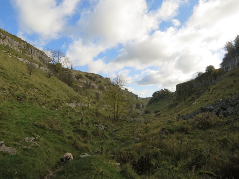
In the dale, looking up towards Monyash where many will start or end this
walk...
...and down, the direction we are going to go.
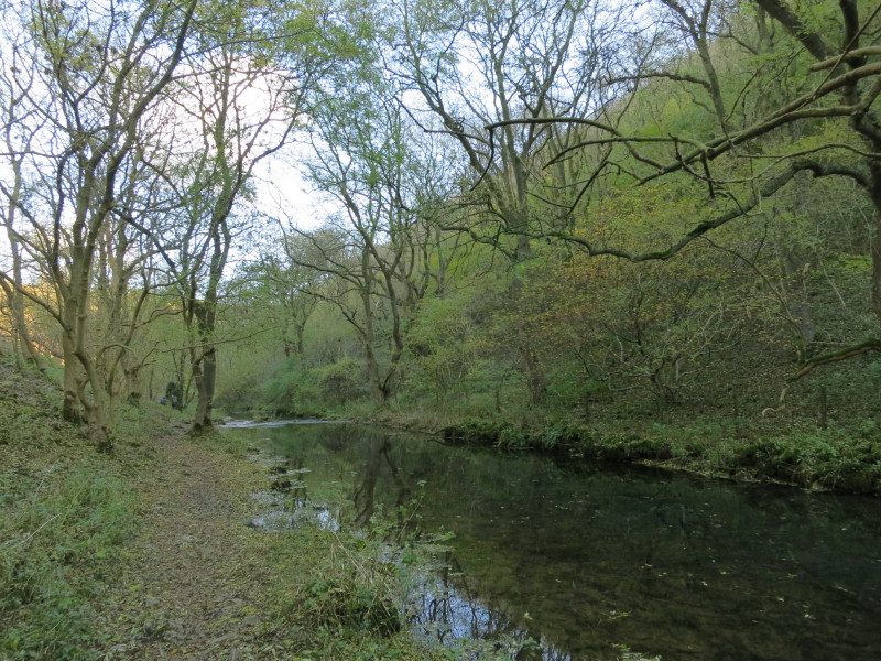
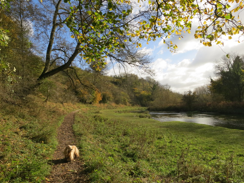
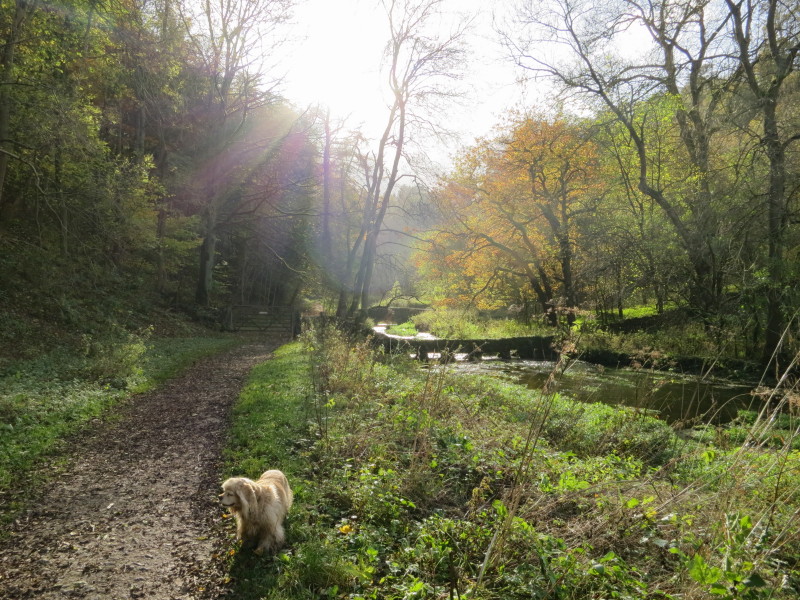
Initially the way is narrow and the path twisty
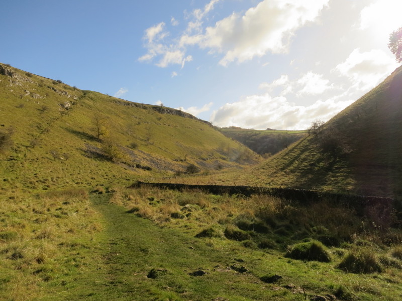
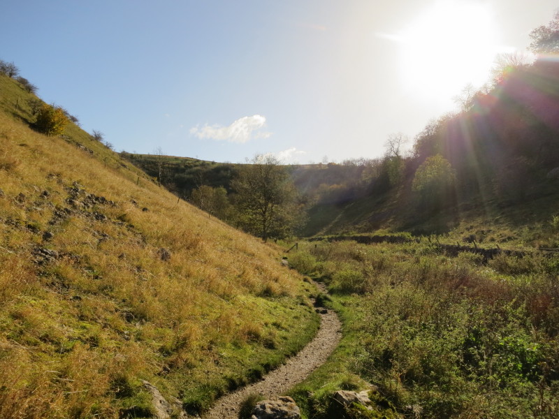
But the way starts to open out. With the sun low in the sky and the route along
the bottom of the valley, we switched from sunshine to deep shade repeatedly as
the valley twisted.
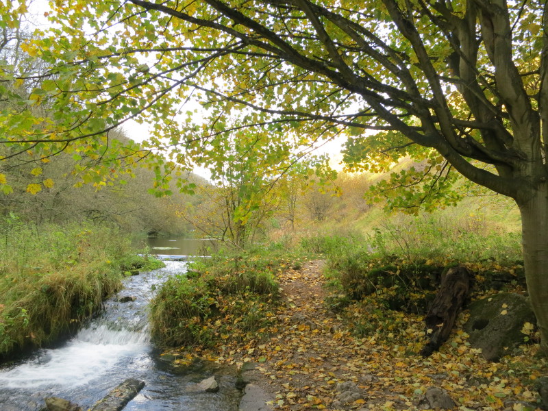
Dampness started to build up next to the path, and soon there was a stream
there, the infant River Lathkill
The river grew in size rapidly, no doubt fed by underground rivers coming
through the limestone
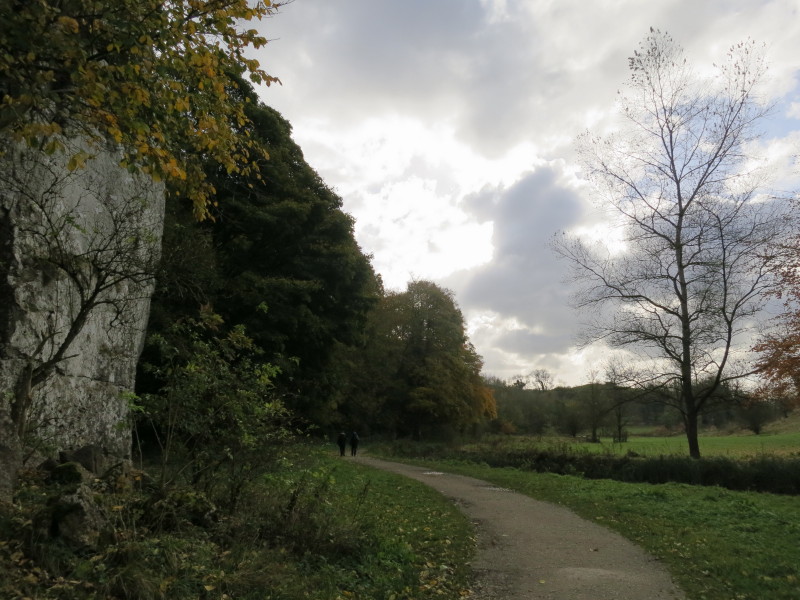
The walk wasn't heaving with people, but there were quite a lot about, and there
were people in front or behind me much of the time.
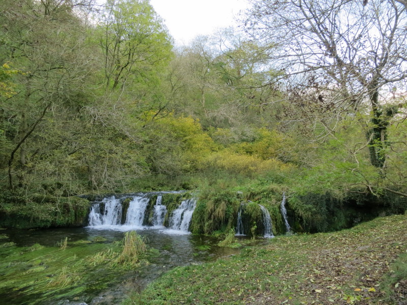
There were quite a few waterfalls, most of them seemingly manmade weirs - the
natural dale has been extensively used by man for milling and mining among other
things.
The close proximity of the path and the river made me worry that we might have
to content with a flooded path at some point, but a couple of very well-trodden
diversions saw us safely around the few wet sections.
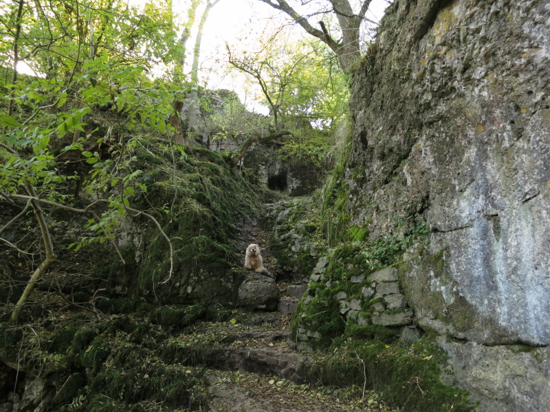
Another weir on the right, with a millstone on the right
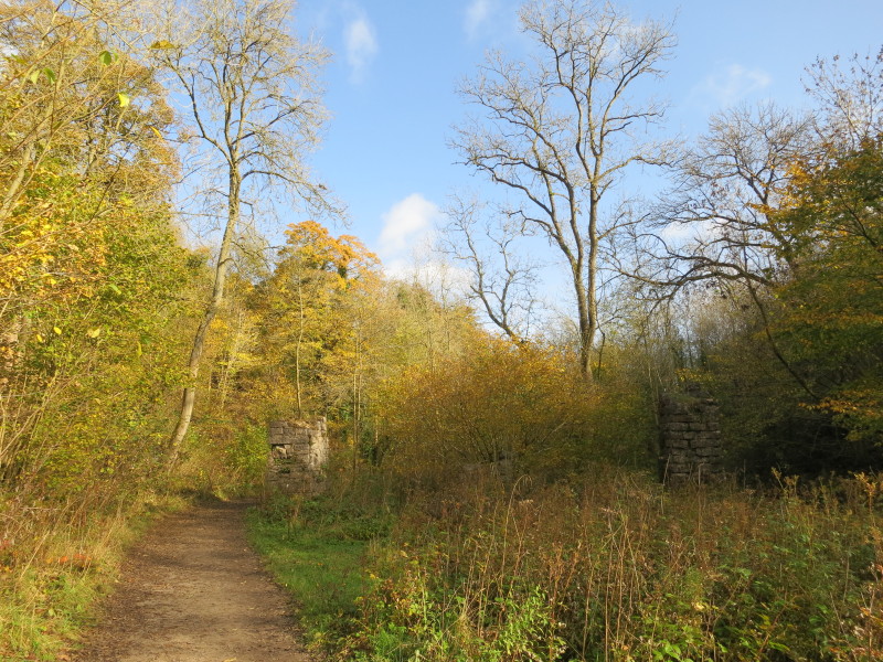
Initially I thought this was the remains of a mill, but as I got closer, those
two walls were joined by others in a line. I immediately thought of a railway
viaduct, though there was no evidence on my map. When I returned home, another
map had "Mine aqueduct (rems of)".
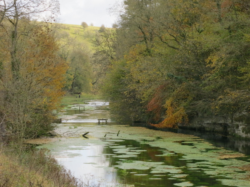
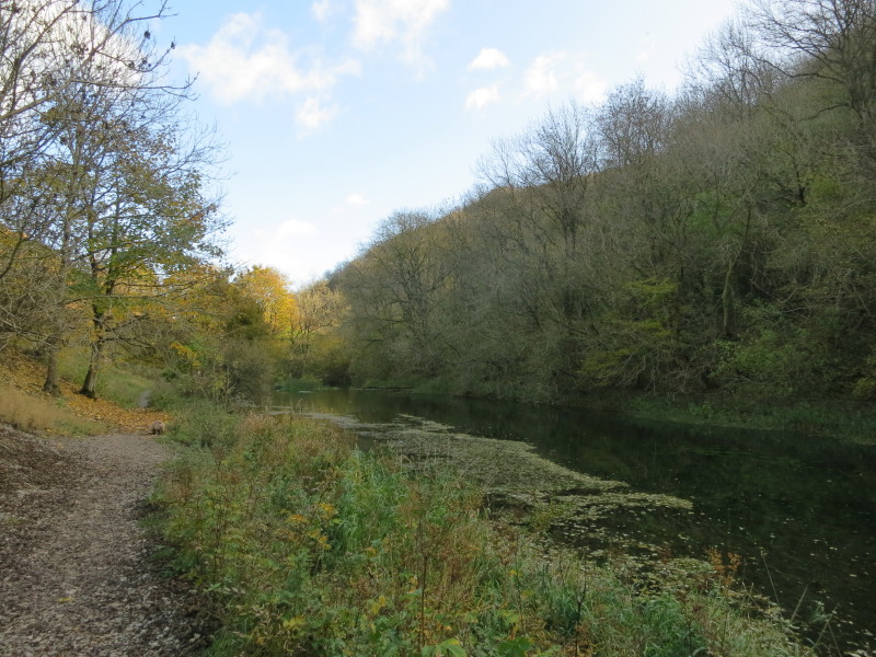
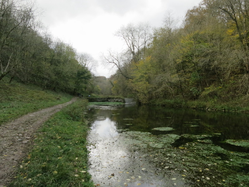
Past the little bridge below Over Haddon, the river widens further, deepened and
presumably widened too by a series of weirs - you can just see a series of
control structures on three of the weirs.
From below, several of the weirs
The dale now starts to open up further, losing the steep right-hand (southern)
side as we approach Conksbury Bridge. There we crossed and walked across
farmland along the other bank.
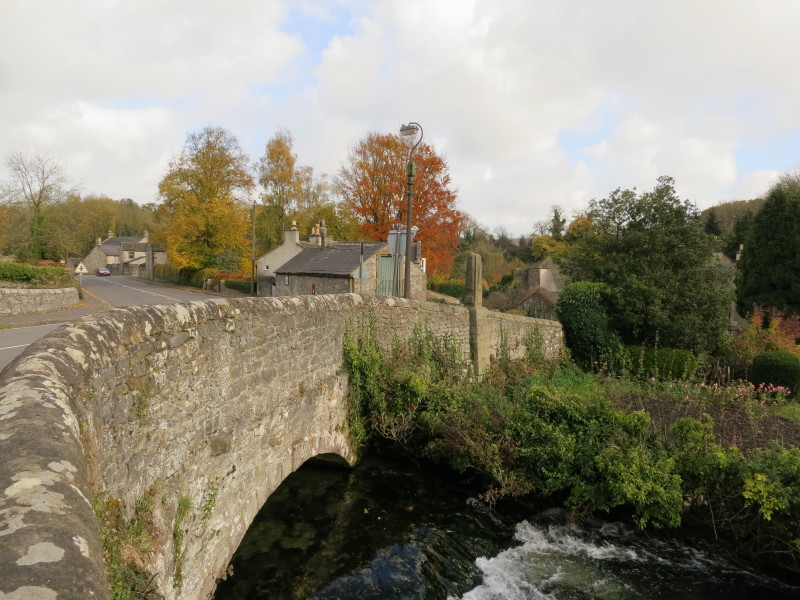
At Alport, we crossed the road. Here the River Lathkill is constrained into what
is clearly not its original course as it runs above the land and the village, on
its way to meet the River Bradford.
We turn right at the watersmeet to follow the Bradford upriver
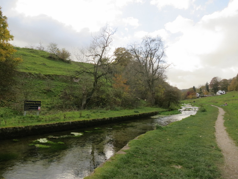
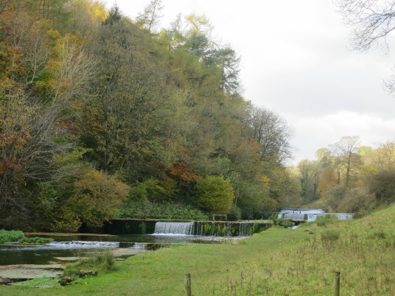
Past the road bridge in Bradford, there is a weir and an area designated for
swimming, but we didn't fancy it today.
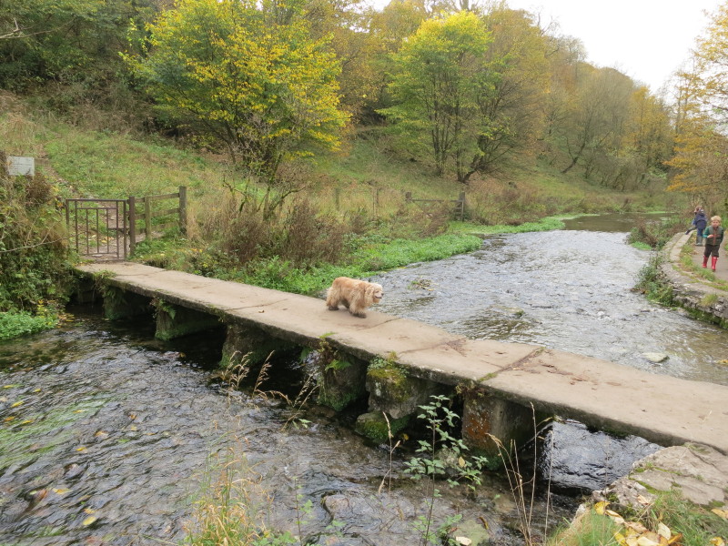
At Youlgreave, George has found the way across the River Bradford, and our way
lies through that gate and then along the river.
This river, like the Lathkill, has a series of weirs, perhaps to improve the
fishing as they don't seem quite right for a series of mills.
A stone wall crosses the river behind George, and in the distance is a bridge
which we will take, leaving the rivers behind for today and heading steeply
uphill, stopping to chat with a chap who we'd passed a couple of hours earlier.
As we cross the field of sheep, George is impeccably behaved as always, but the
sheep gradually retreat: if there are a few sheep, they will often let us walk
very close by, as happened several times earlier today, but if there are lots of
sheep as here then it only takes one nervous one to trigger all of them to move.
We therefore inadvertently herded all the sheep towards the top of the field.
Once we had passed them and were heading for the gate, they all turned and started
to follow us
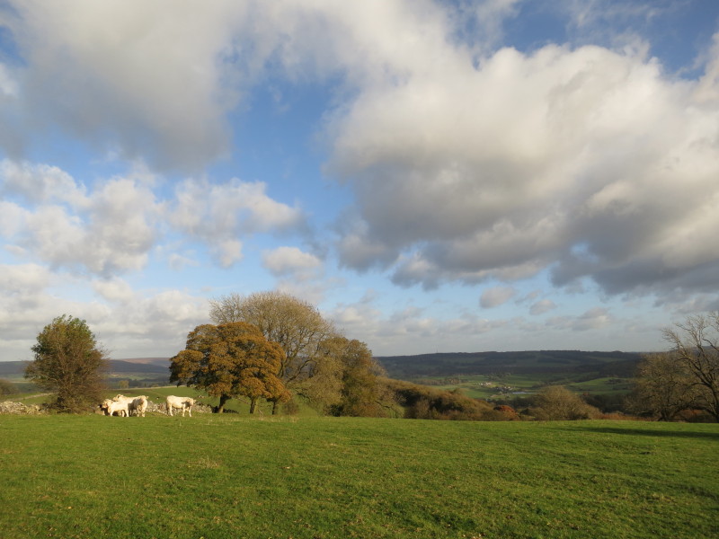
From the top of the field, a look across some glorious countryside. It was a
short walk up a muddy lane back to the car.
A great walk in good weather - a long way to come but a lot better than walking
in the rain in Suffolk or Norfolk
Total distance 15.9 km and about 300 metres of ascent in 4 hours 45 mins
|