Peddars Way
6: Castle Acre to Anmer
30 October 2010
After last week's walks on the Stour Valley Path, I decided that it
was time to return to the Peddars Way, not visited since May, to make
some more progress towards the Norfolk coast.
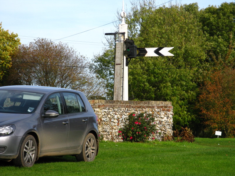
As we leave Castle Acre, I spot a well-equipped garden. (There has never been a
railway to Castle Acre.)
The first 5½ kilometres of today's walk are on or alongside the road which
shares the ancient route of the Peddars Way. But after a short bit of
road-walking, a new path has been provided along the field edge, running
parallel with the road.
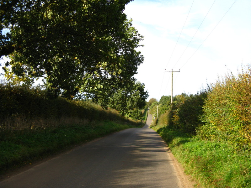
Eventually that gives out, and we have to walk along the road itself.
Fortunately there aren't too many cars, but owing to the straight Roman road,
those that did pass us were travelling quite fast.
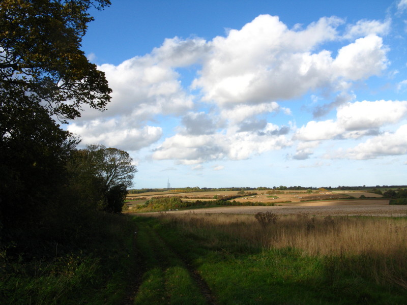
Eventually we leave the modern road behind and continue along the straight Roman
route towards Rhubarb Cottage.
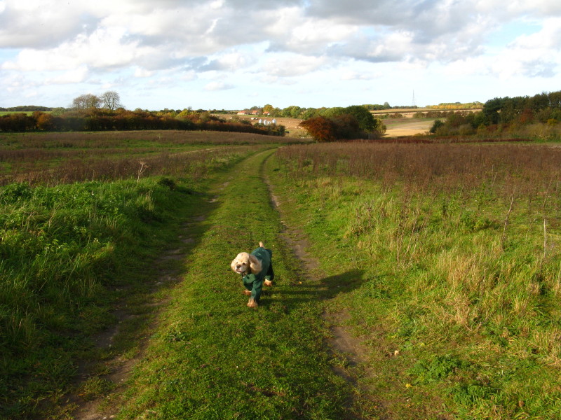
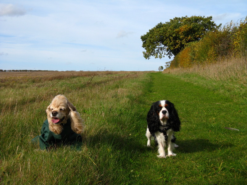
George's new coat did a quite effective job at keeping most of him clean and
reducing massively the amount of dirt, twigs and burrs that his coat collected,
but it made the matting even worse than usual, and thus didn't achieve the
objective of making the evening at home any easier for either George or Lucy.
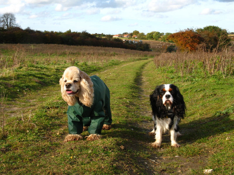
Fortunately Ellie's fur is vastly easier to care for.
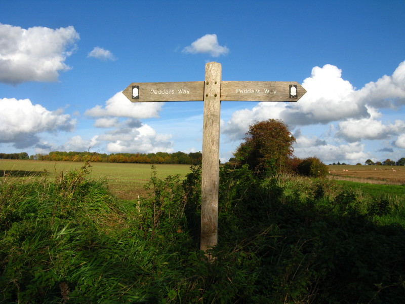
As we pass Rhubarb Cottage, the sign shows us we're still going right, but with
this being possibly the straightest section of the straightest footpath in
Britain, there is little danger of going astray.
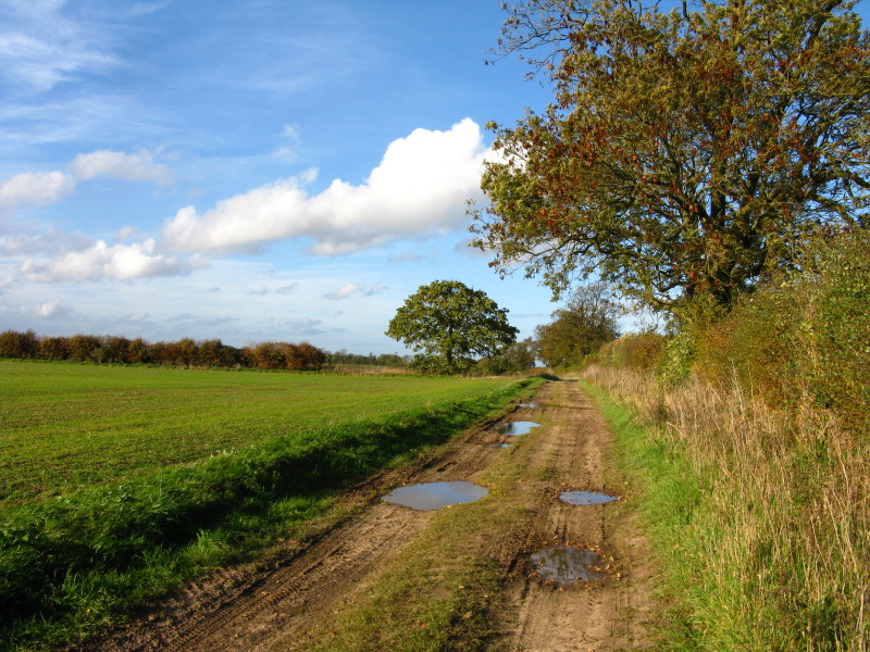
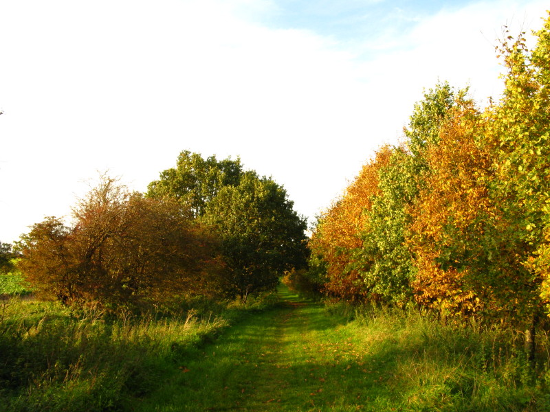
Although (with a couple of short exceptions) we've left the tarmac well behind
after the first 5½ kilometres, the remaining 10 kilometres of the walk are still
legally a road, but fortunately not a well-used one.
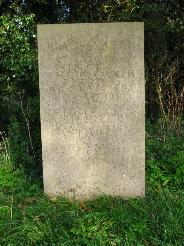
The next in the series of the Norfolk Songline
stones.
From Blackwater Carr to Seagate
Since the plough first broke the bread of land
Pightles and pieces plots & pastures
To every man his stony acre
(A pightle is an old Norfolk word for a small enclosure of land, derived from
pig-tail.)
After crossing the A148 which shares the old route of the Midland and Great
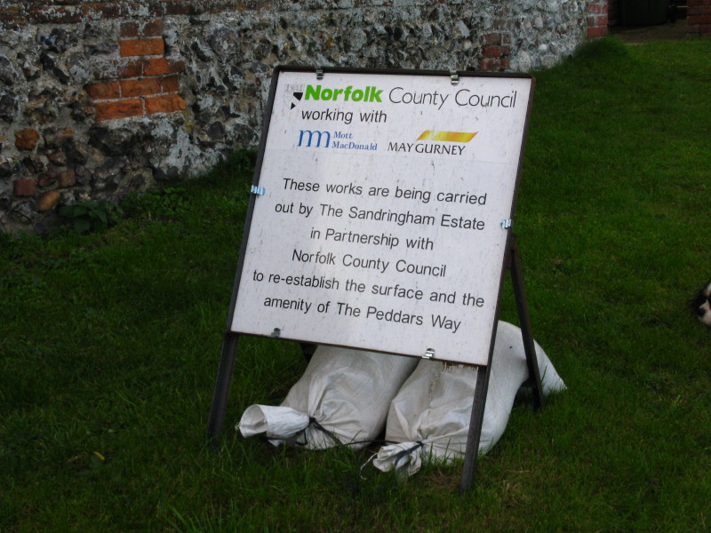
Northern Joint Railway, our final section is along this section. This
informative sign was paired with an A4 notice pinned to a telegraph pole which
said that the road was closed
I continued along anyway, as it seemed fine, and indeed there were no
obstructions at all, and the presumably new surface was easy to walk on.
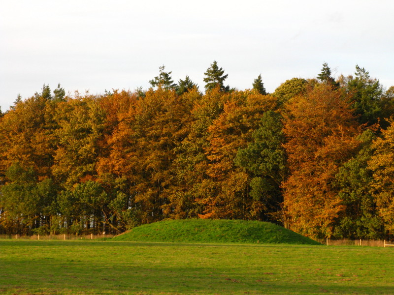
There were several tumuli in the field here, dating from 1500-1300BC.
After our final road crossing (where signs facing back the way we'd come also
said the road was closed, but went on to add that it was open to pedestrians - a
shame that information wasn't also at the other end), another pleasant grassy
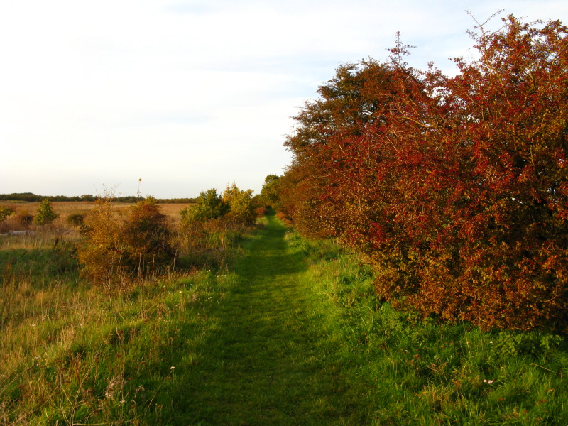
section of road takes us to the B1153 and the end of today's walk.
Total along the Peddars Way 15.6 km in 3 hours 32 mins.
Despite a very straight walk and the initial road-walking, still a pleasant autumn walk in the sunshine. We're 78% of the way to the sea!
|


