Ridgeway - Avebury to Ogbourne St George
25 May 2007
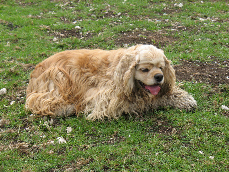
With Lucy taking Ellie to a dog show in Bath, Stephen and George took advantage
of a lift as far as the edge of Wiltshire, near Avebury, for the first stage of
a walk along the Ridgeway National Trail. Also known as the Ridgeway Path, or
more simply as just the Ridgeway, it follows the chalk hills and forms part of a
route in use since Neolithic times, the height of the land and the well-draining
soil making for easier going than the marshes and difficult woods on the lower
land. West of the Goring Gap (where the Thames has pushed through the chalk) it
traverses open download, and east of the Thames it wends its way across the
Chiltern Hills.
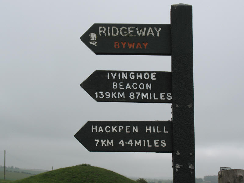
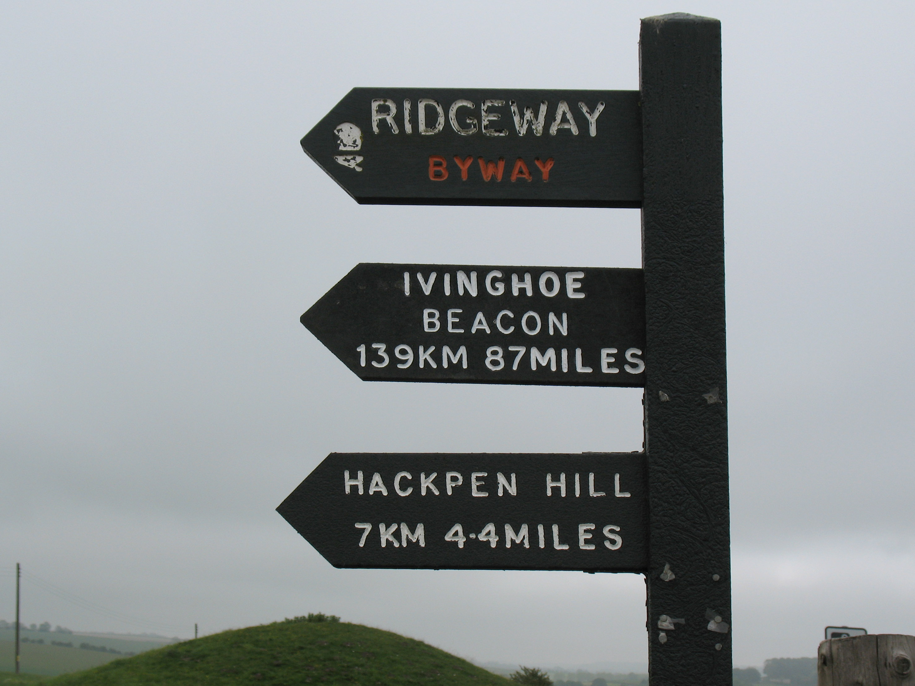
It was a generally overcast and at times gloomy day, but the lettering stands
out boldly on the sign pointing the way to the north-eastern end of the Ridgeway
at Ivinghoe Beacon, between Dunstable and Tring in Buckinghamshire, recorded
above as 139km or 87miles; my National Trail Guides book has it at 137km or
85miles, and my Big Walks of Britain at 85.5 miles. Take your pick.
The distinctive black Ridgeway signposts with which we will grow familiar on our
walk are made from 'Plaswood', an environmentally friendly and maintenance-free
plastic material made from recycled waste.
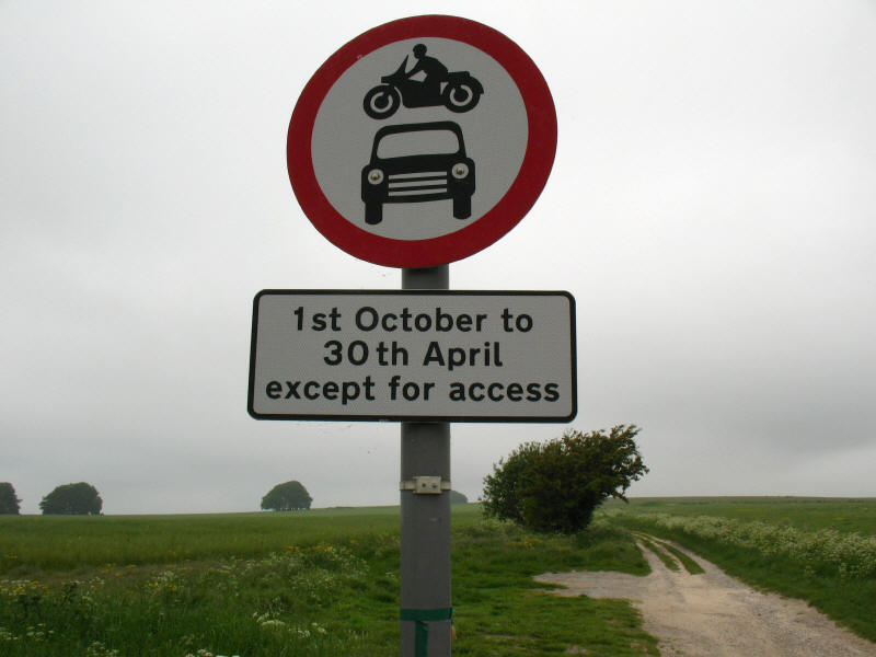
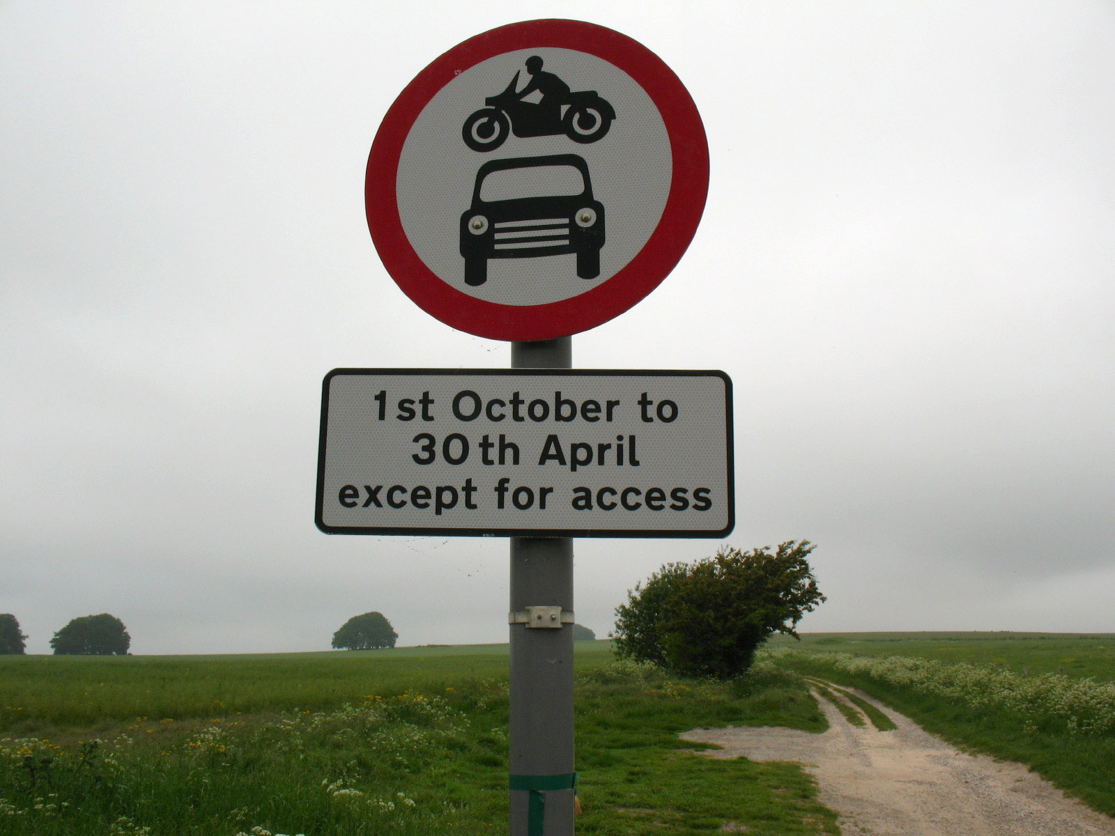
I had read various tales of problems on the Ridgeway with motorised vehicles,
both in the immediate sense and in the damage they have done to the surface, as
quite a bit of the route here at the western end is a byway (19.2% of the total
route is a byway). Restrictions such
as that indicated above have reduced damage by eliminating motorised vehicles
during the wettest months, and it became clear that much repair work has been
done to the surface, making much of it very easy underfoot, though looking far
from its natural state. Furthermore, about 22½ miles of the Ridgeway that was
formerly a "Road Used as a Public Path" has become, through the Countryside and
Rights of Way Act 2000, a restricted byway, closed to motor vehicles. Today,
admittedly a weekday, I saw just one vehicle (which was a van using it for
access), no motorcycles, no bicycles, no horseriders, and only two small groups
of other people.
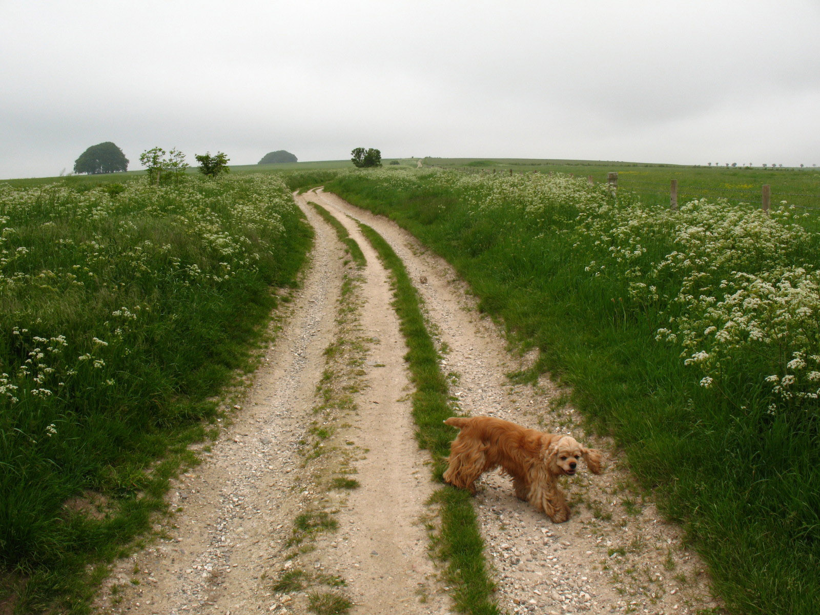
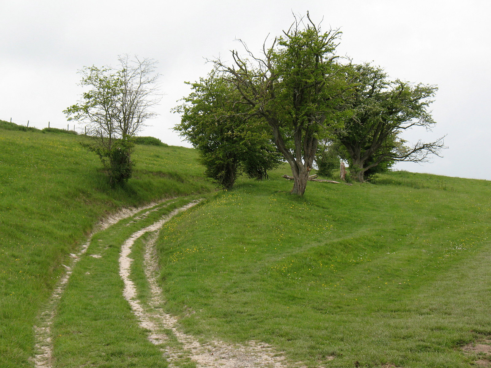
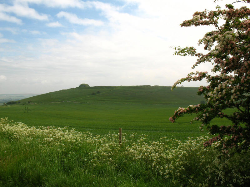
So here, we are, underway at last. This was typical of the early stages, with
signs of chalk in the track which ran generally along the ridge between large
monoculture fields.
However, although the farming is clearly intensive, a very noticeable feature of
this section in particular was the birdsong, which was everywhere.
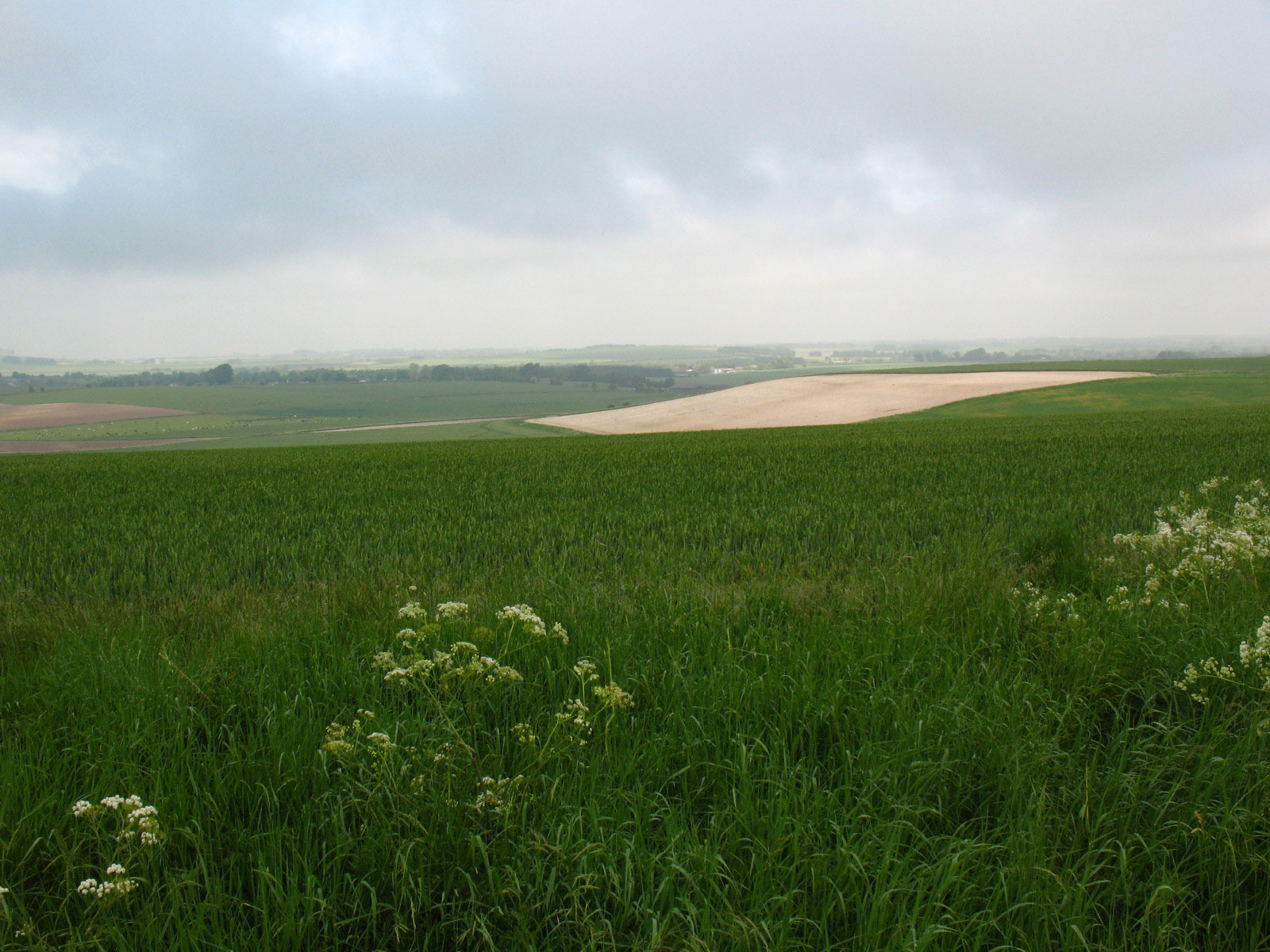
From time to time we got short glimpses of the sun, but on the whole it was an
overcast day, but fortunately I didn't need the waterproofs that were lurking at
the bottom of the bag.
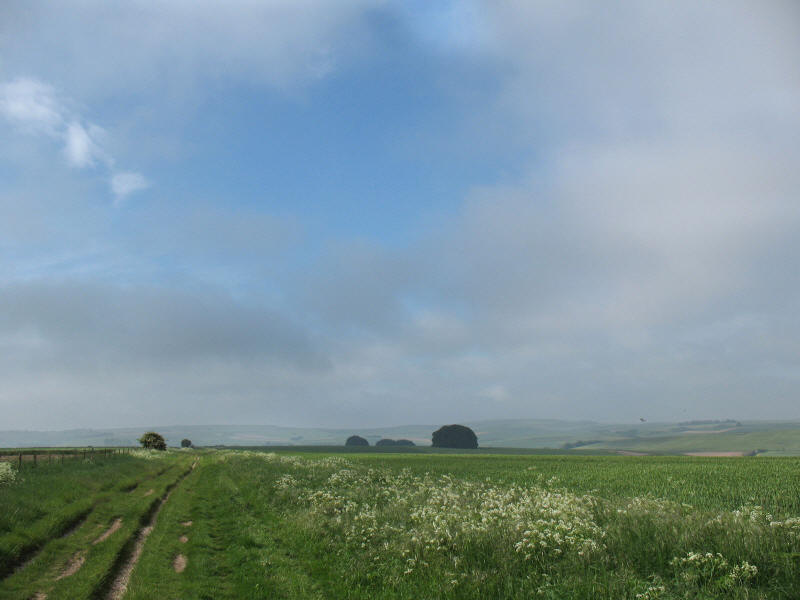
Looking back the way we have come, with a rare patch of blue sky.
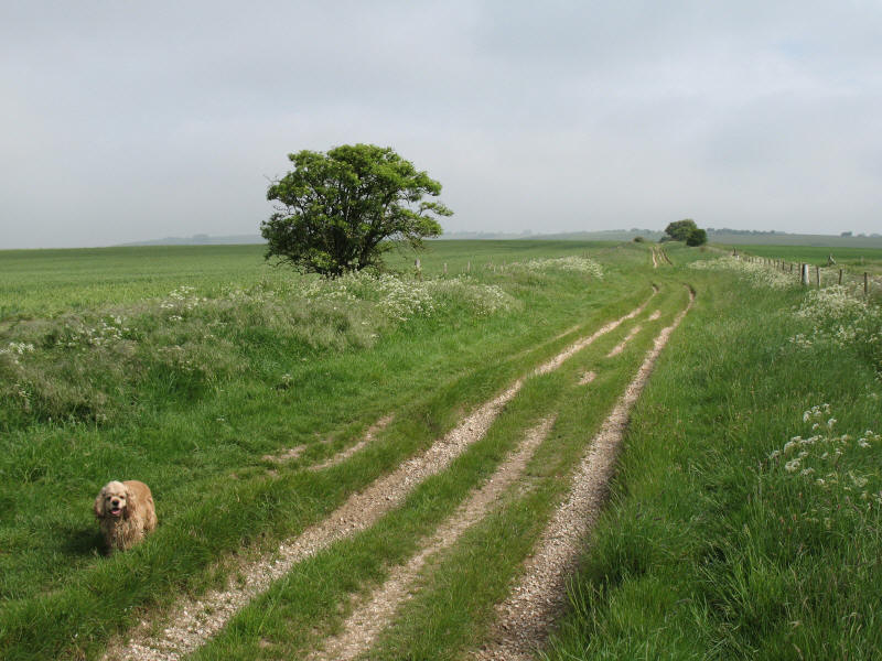
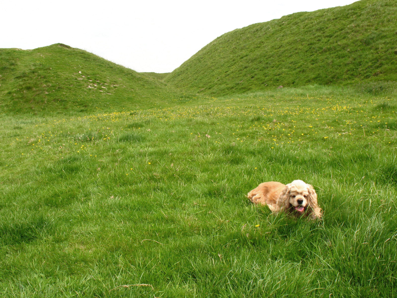
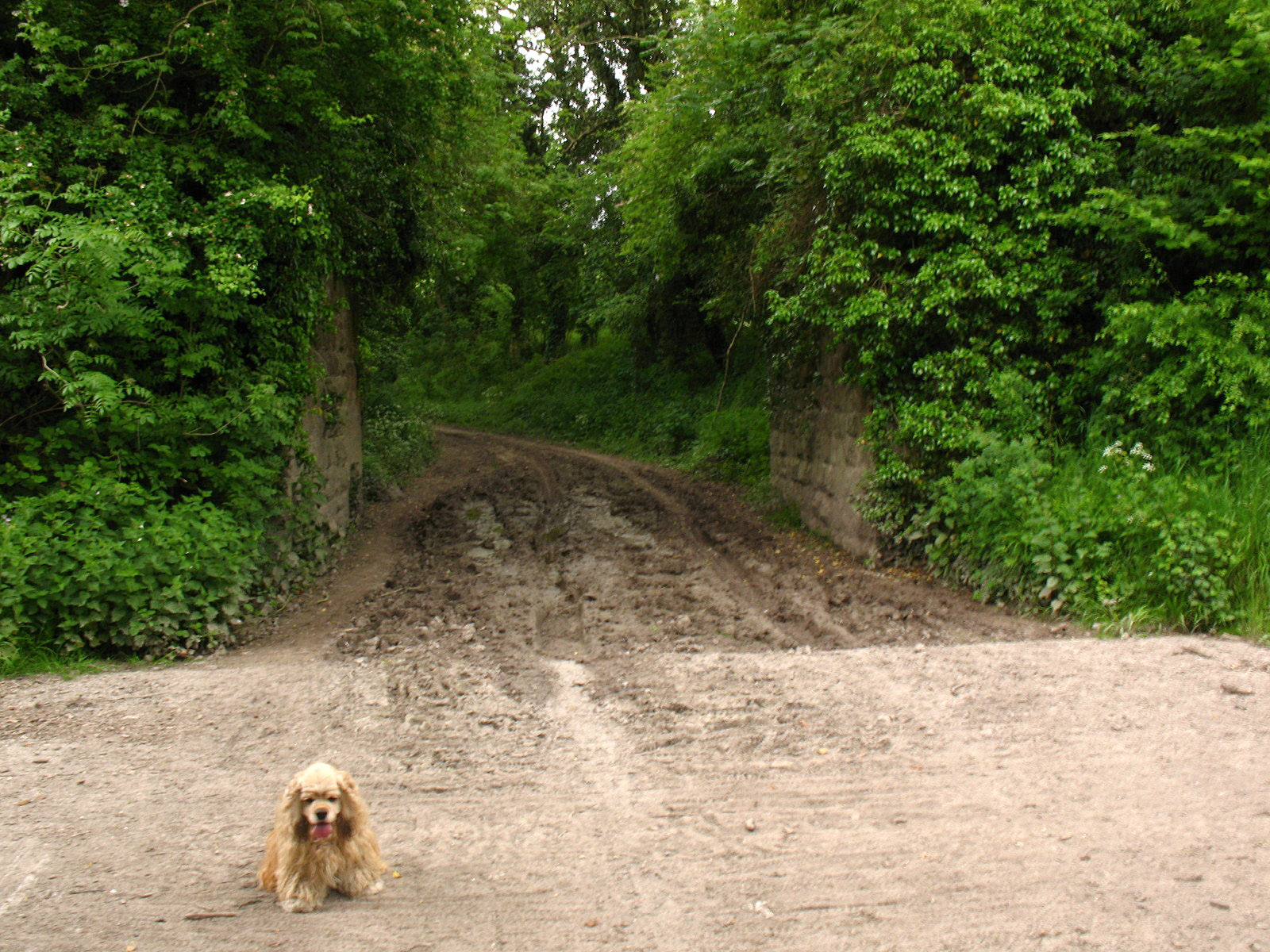
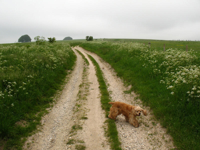
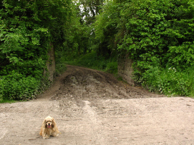
George takes a quick break as we continue along the early stages of the
Ridgeway.
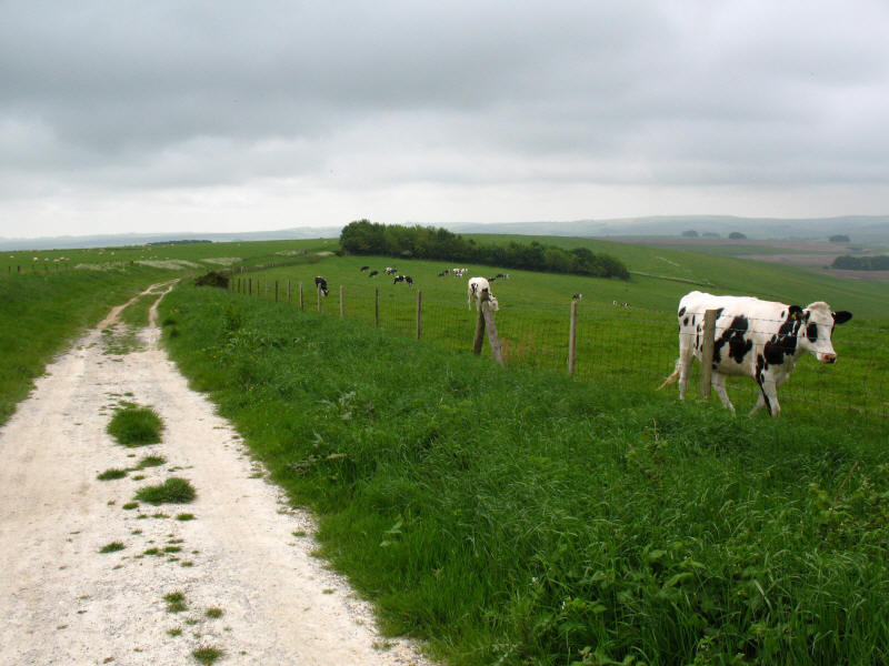
In addition to arable fields, there were lots of sheep, and a few cattle.
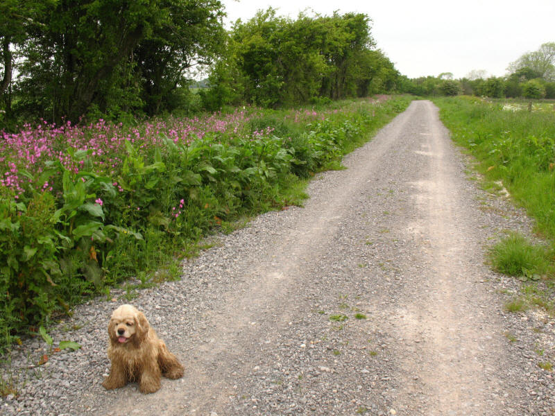
George on one of the sections where the surface has clearly been repaired.
Navigation on this walk was extremely easy, and coupled with the easy footing,
meant that we were consistently ahead of the schedule I'd provided Lucy with, to
co-ordinate pick-up times when the dog show had finished.
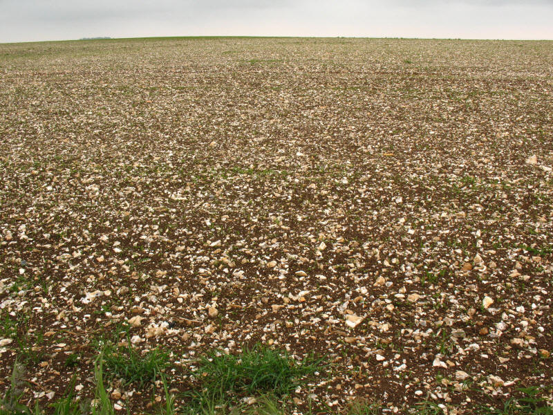
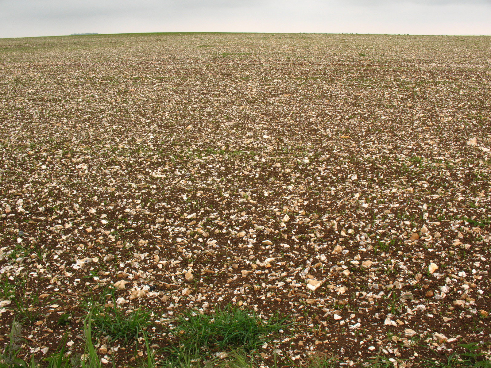
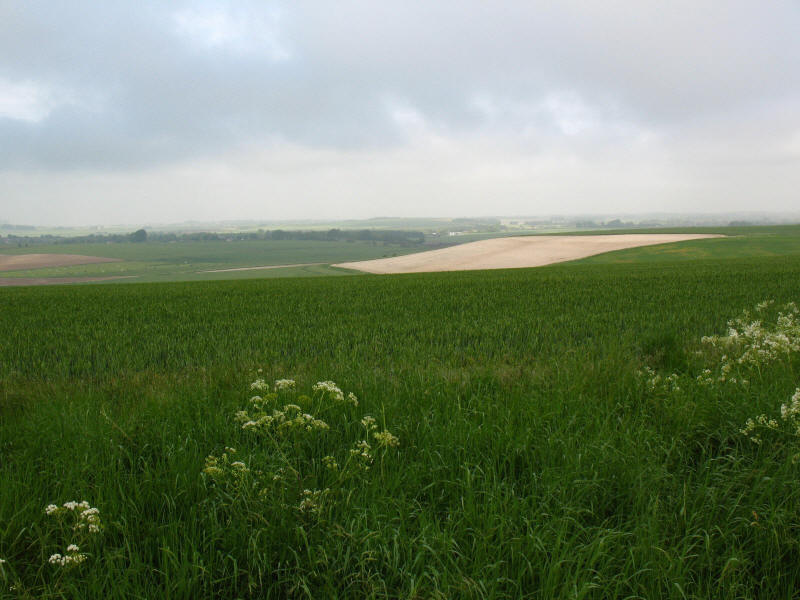
A field on Hackpen Hill, showing the extensive flint in this soil.
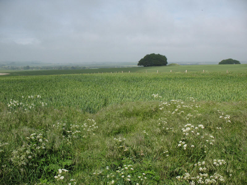
As we descend Uffcott Down, a view across to the ramparts of Barbury Castle iron
age hill fort, the first of several hill forts we will find along the route of
the Rigeway.

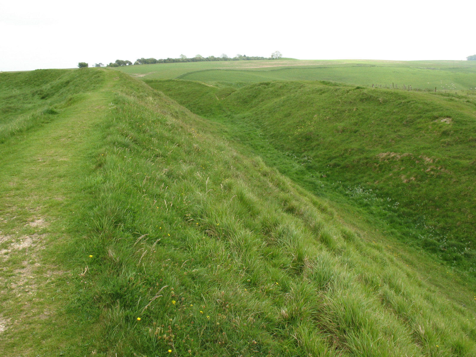
Behind George are the inner and outer banks of the hill fort.
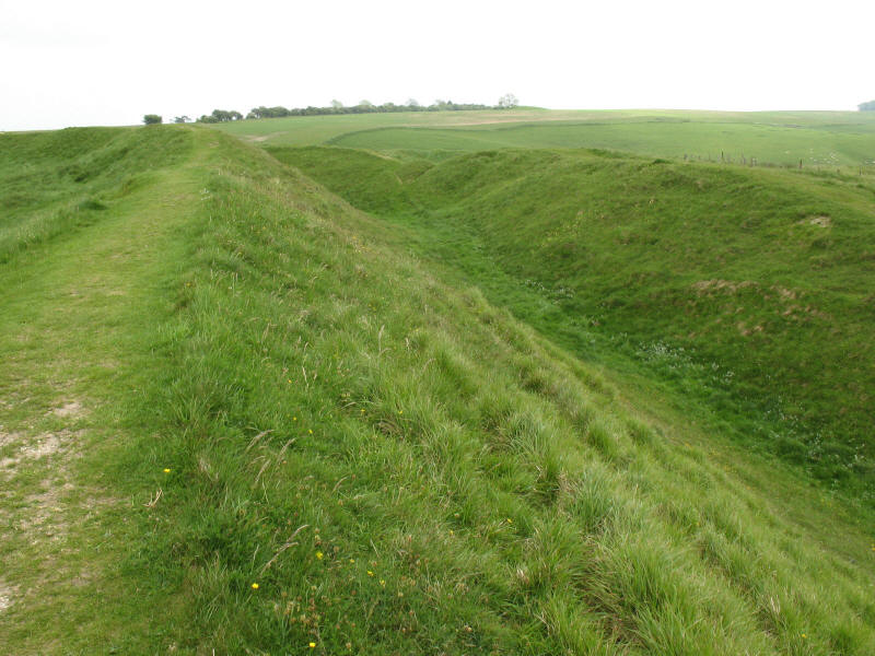
From our lunch point on the inner bank, looking down into the ditch. The fort is
believed to date from around 2500 years ago, and was in use during the Roman
era. It was named Beranburgh by the Saxons when they defeated the
Romano-British at a battle here in 556.
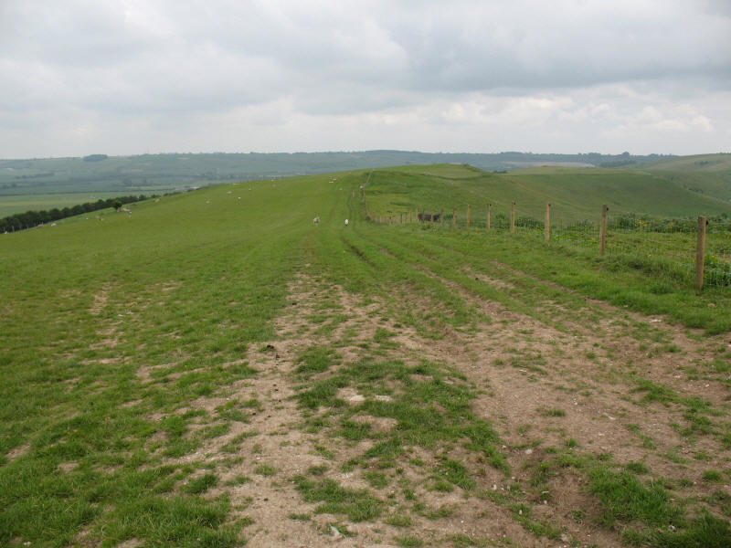
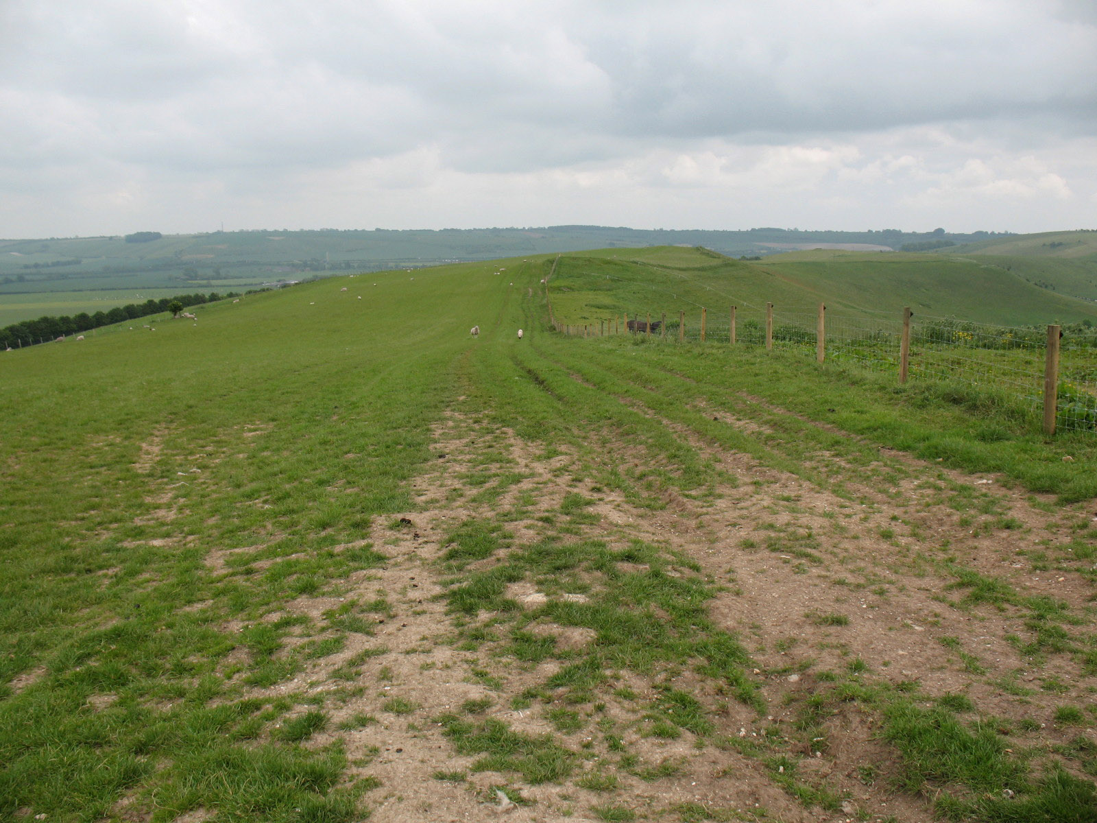
Continuing on our way, the Ridgeway National Trail now diverts away from the
"old" Ridgeway, and here we walk along Smeathe's Ridge..
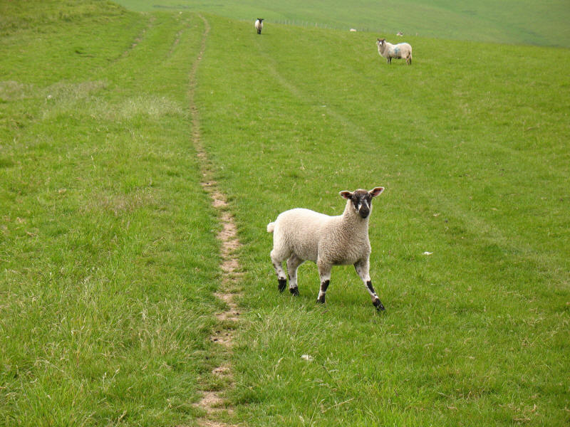
In echos of our recent walk to Low Force in Yorkshire, this lamb chased George
and me along the ridge. Some of the ewes in this field were in shocking
condition.
Finding a remote bench, and never one to pass up the chance of a quick sit down
with a view, we pause as we start to descend from Smeathe's Ridge.

Descending from Smeathe's Ridge towards Ogbourne St George
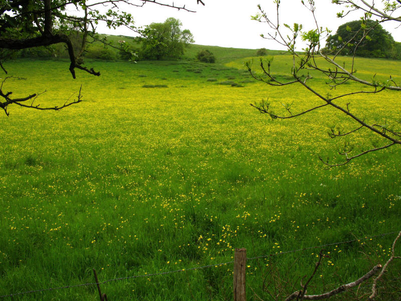
Meadows to the west of Ogbourne St George
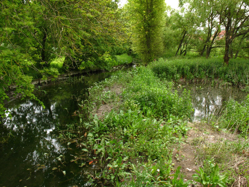
The river Og
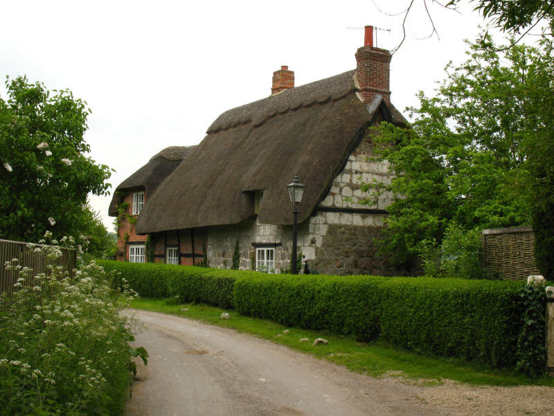
One of many thatched and half-timbered cottages in Southend
The path crosses cycle route 45 here, which is following the railway line but
here makes a short diversion as the bridge is no more. Although we were making
good progress, unfortunately Ellie wasn't, and so soon it was time to be picked
up. But we enjoyed this enough to be back another time, perhaps for visits to
more hill forts at Liddington Castle and Uffington Castle, and the long barrow
at Wayland Smithy. Sounds interesting.
Total distance 17.0 km with 188 metres of ascent, in 4 hours 25 minutes (3 hours 26
minutes moving) - that means we're more than 12% of the way to Ivinghoe Beacon!


|