 by
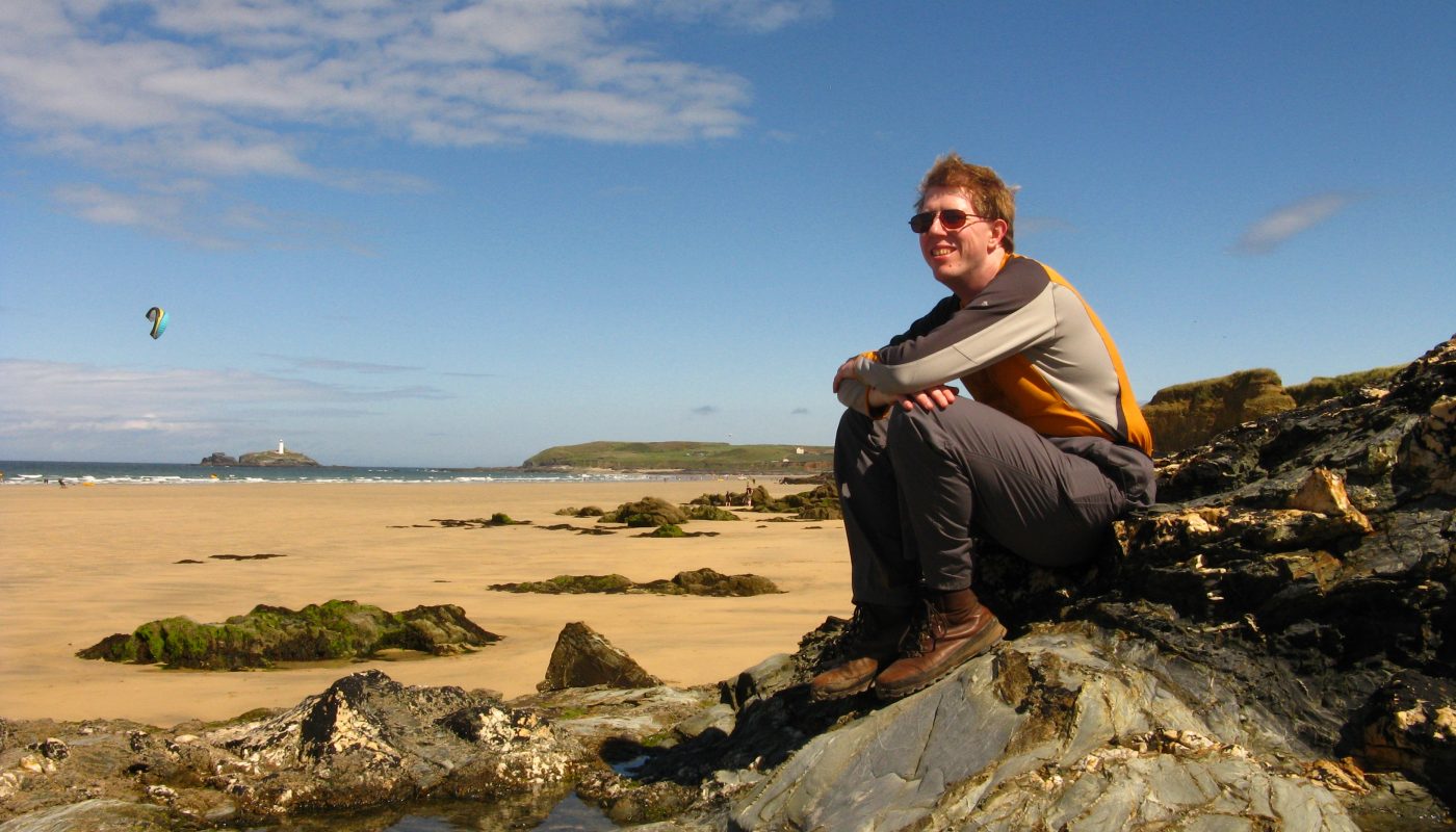
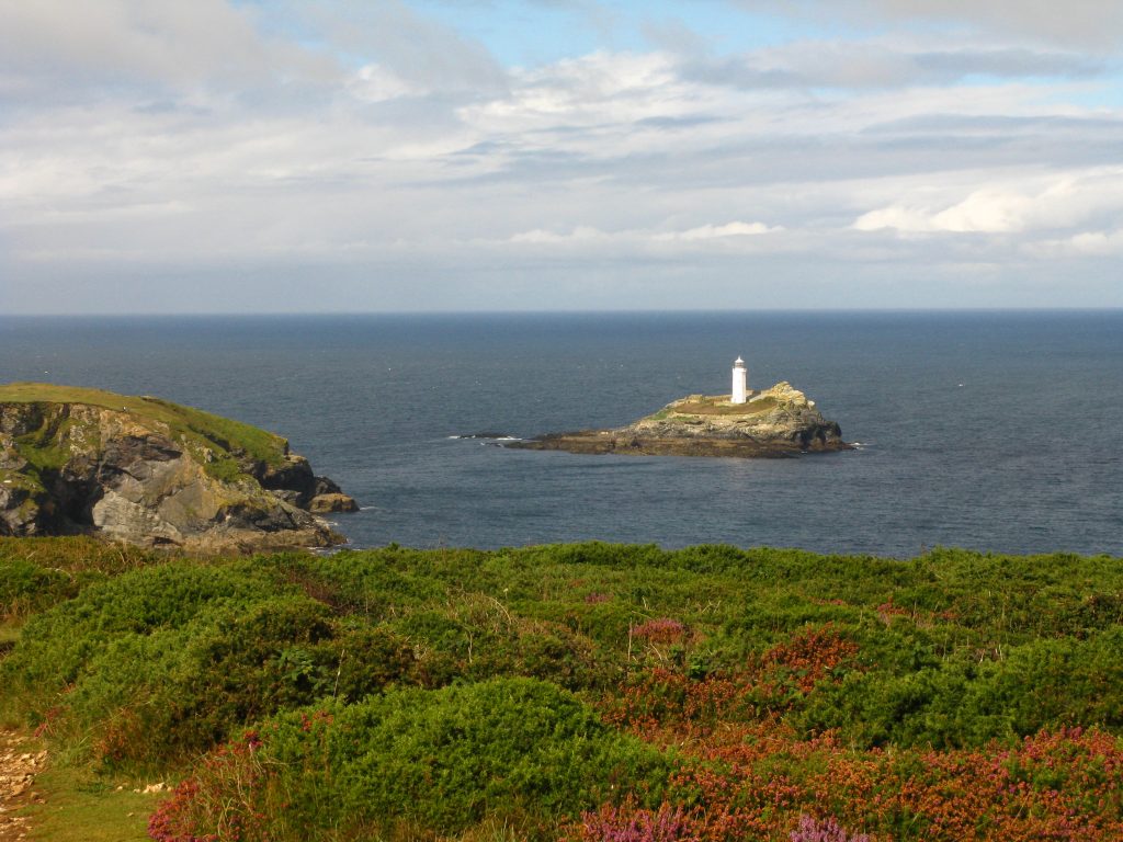
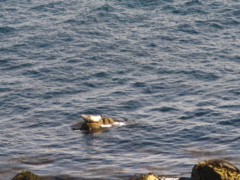
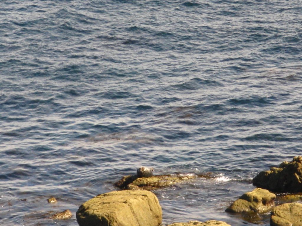
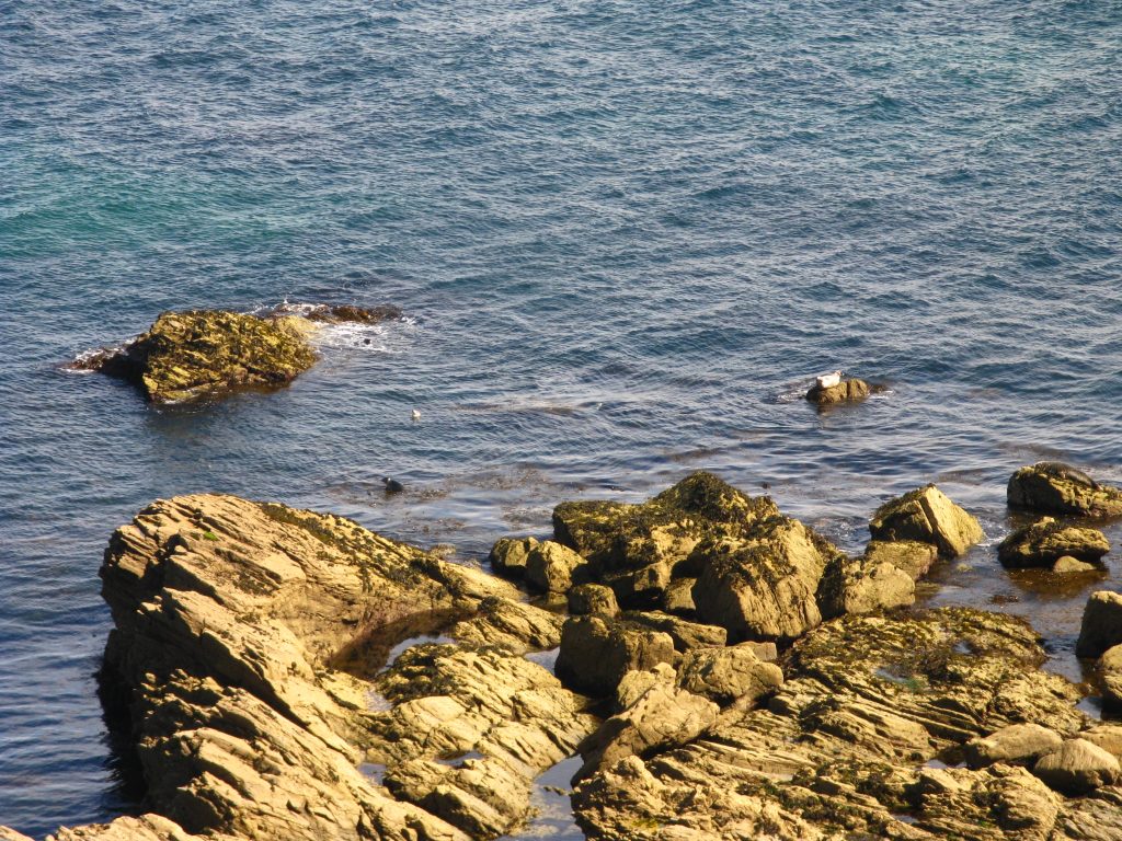
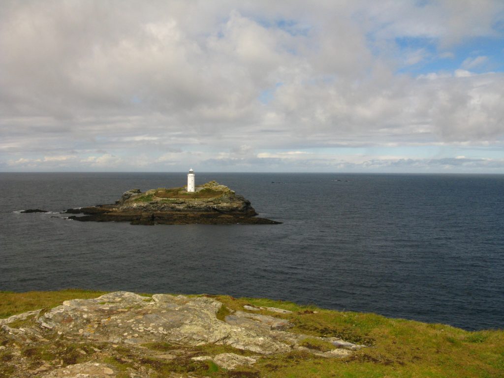
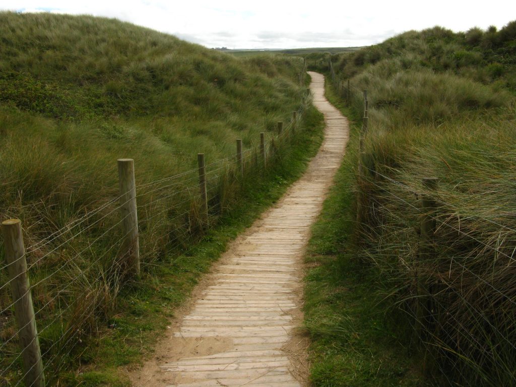
by In which: the path goes down and up and down and up ● seals play in the surf ● another lighthouse keeps shipping safe ● there is a long and pleasant beach walk ● kite-surfers have fun ● the Hayle gets in the way ● I reach St Ives and journey’s end for now
Date: 23 August 2010
Time of walk: 0825 to 1620
Today’s walking: 27.8 km
Progress along SWCP: 27.5 km
Estimated ascent: 650 metres
After last night’s heavy rain, I woke to find the weather initially dry, though with some light rain by 7.30. There was some blue sky out to sea which was encouraging, even if that wasn’t where the weather was coming from. The forecast was for better weather this afternoon, which on the whole was good – I didn’t fancy walking for eight or nine hours in rain, though it would be pretty hard work in hot sunshine too. Cool and sunny with a gentle breeze is ideal walking, but is perhaps relatively unlikely in August.
In sorting my rucksack I realised that I’d forgotten about some raspberries that I’d bought in Perranporth which I’d carried in my rucksack all day and which hadn’t travelled well – they were rather mushy and there was a fair bit of raspberry juice about. I popped out before breakfast and disposed of them before they made more of a nuisance of themselves.
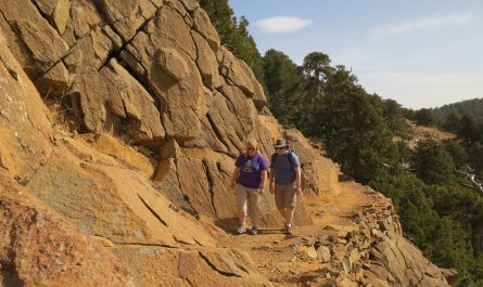
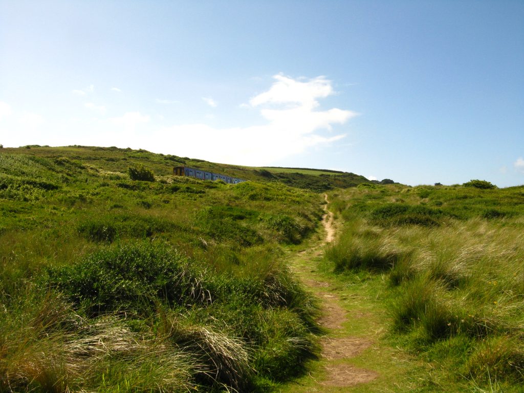
The first stage of this morning’s walking involved a fair bit of ascent, a short level section, then down steeply, up steeply, and then immediately down and up again, all at the start of what will be a moderately long day. It’s all very well to know you’ve got to go up and down quite a few times, but you do expect a bit of level in between.
After a few spits and spots of rain when I set off, it was cloudy and cool with a pleasant breeze until around 10.45 when the sun came out, and I put my sunglasses on. The wind persisted, which was fine by me – as long as it’s not too windy, it is good to help keep you cool.

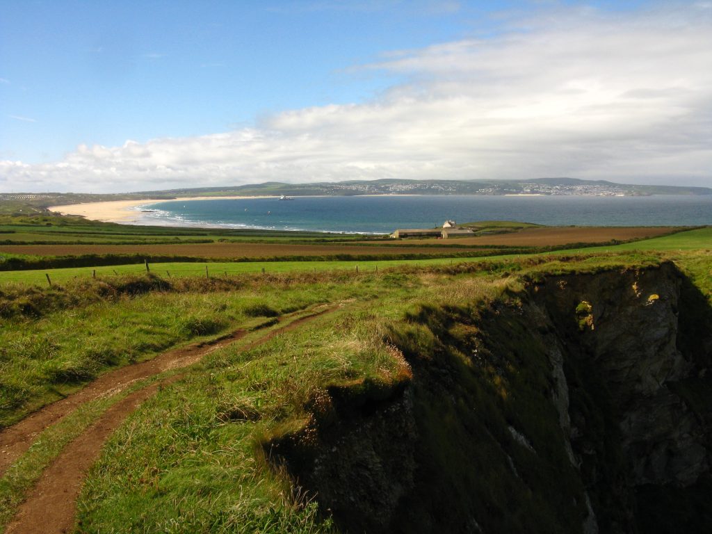
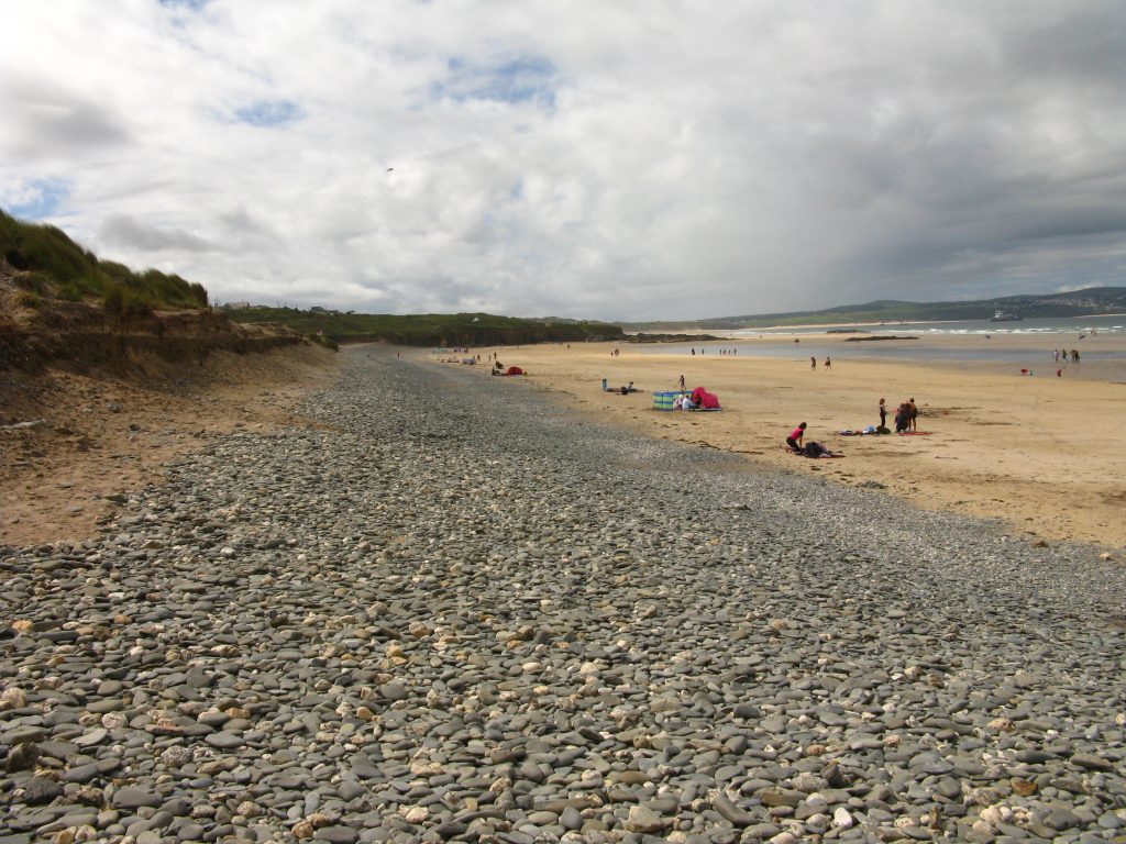

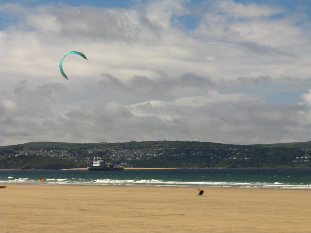
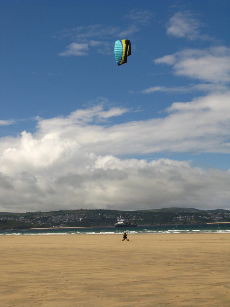
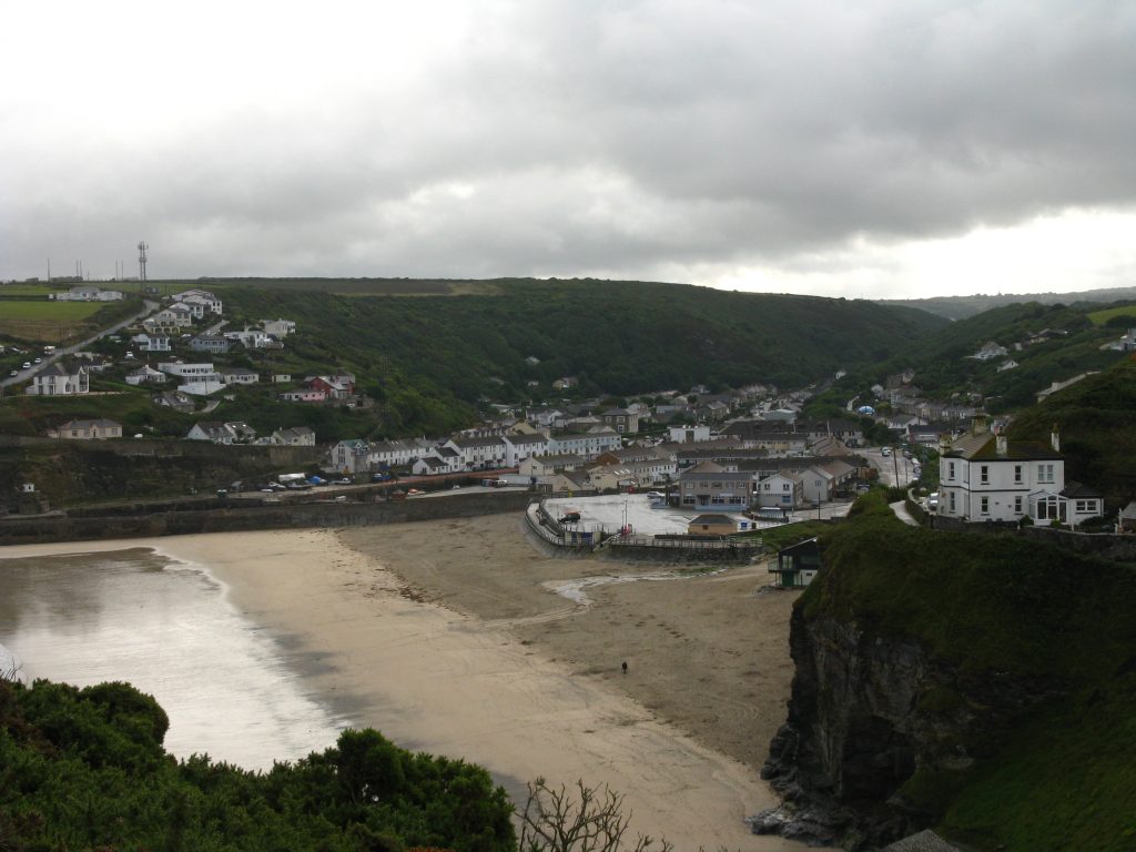
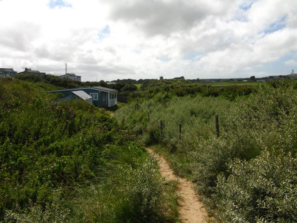
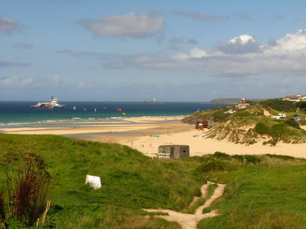
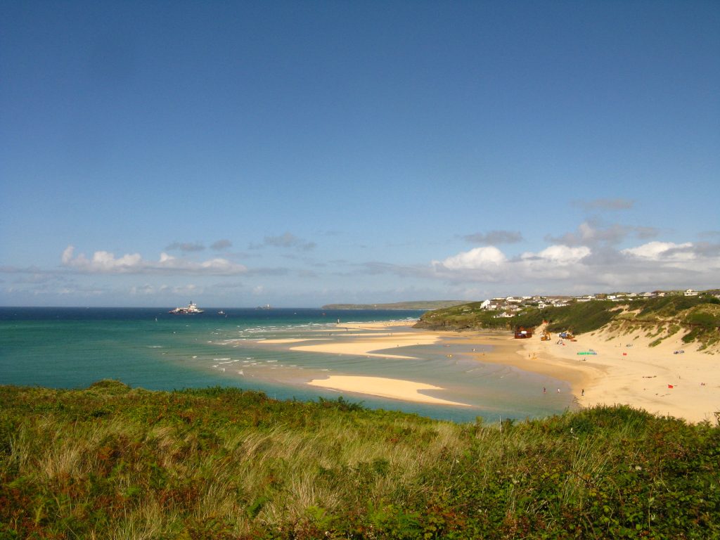
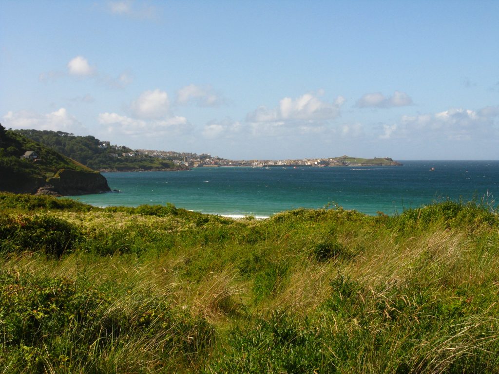
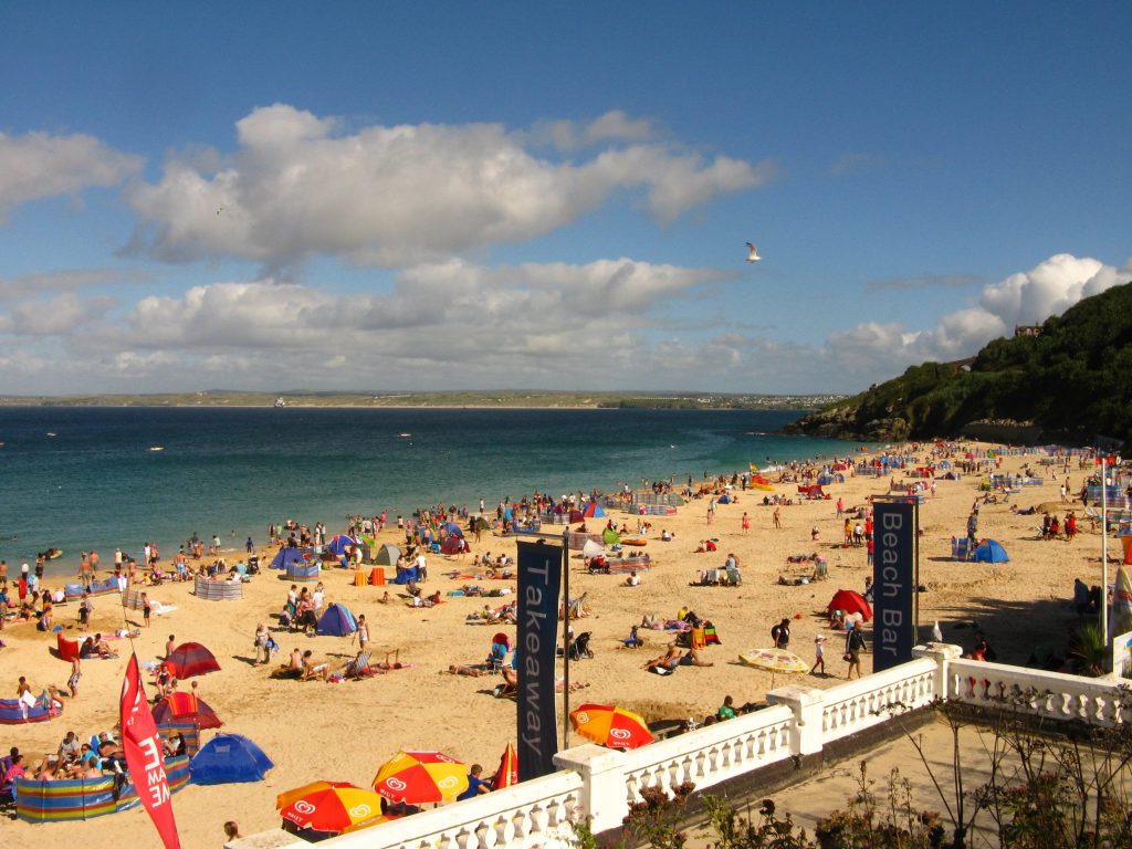
There were a few slightly anxious moments as I neared the end of the long walk along the beach. The guidebook said I needed to regain the dunes after the lifeguard hut and just before the rocky cliffs recommenced. The trouble was there were quite a few lifeguard huts, and as I approached the last one, it became clear that it was perched on the end of the cliff and therefore by definition that there was no way up between it and the cliffs. I resolved to climb very steeply up the high sand dune just before the hut and cliffs, and part way up found a notice on a fence saying that the route was closed and to follow the waymarkers. I didn’t find a waymarker, but a short route round that obstruction found me on a firm path with a sign to the beach behind me and shortly afterwards I spotted my old friend the National Trail acorn symbol. After the long procession over the beach, over an hour including lunch, it was a change to be back on a narrow trail, bashing between tall grass and brambles.
Soon after I found first some toilets and then today’s ice-cream. I realised as I left with my ice-cream that I’d left my trekking pole behind for the second time on this holiday, but fortunately not as far behind as the first time as it was only a few metres away in the toilet block.
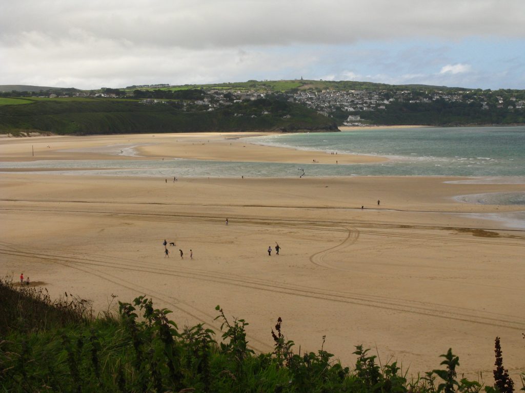
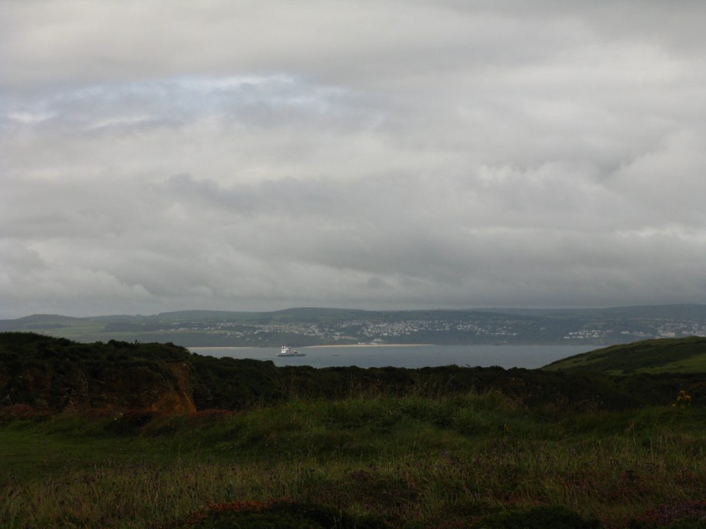
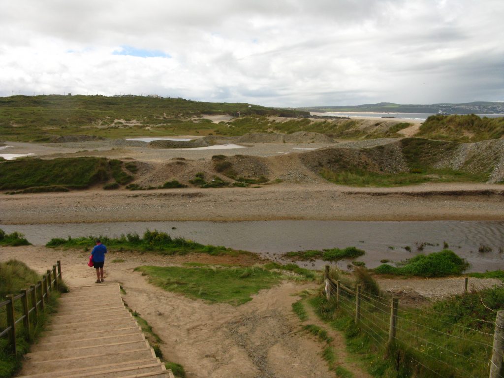
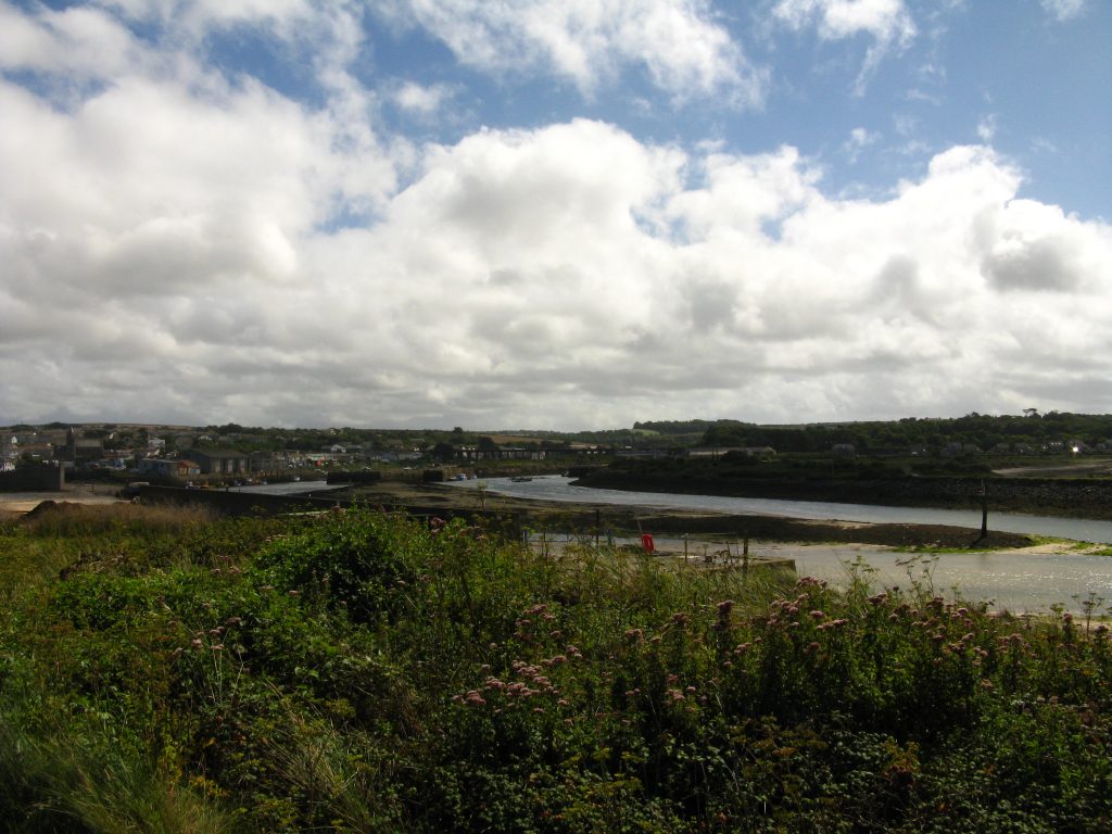
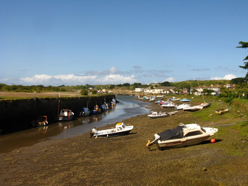
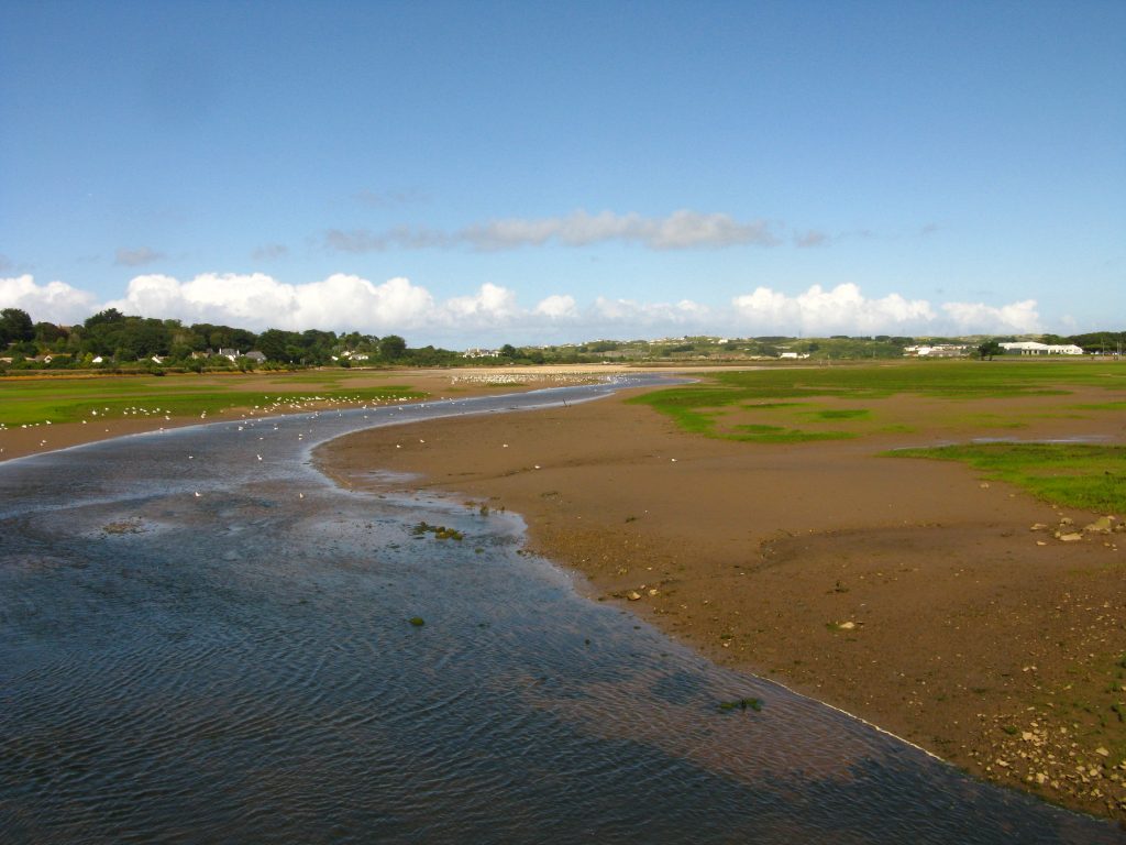
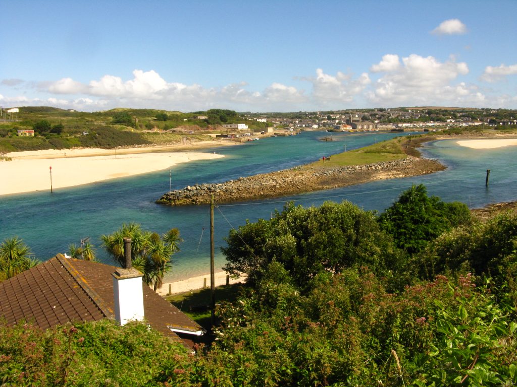
Looking at the relatively narrow strip of water that is the River Hayle at low tide, it was tempting to wonder how deep it really is, but no doubt it is rather more fearsome than it looks from high above – there is one river on the south coast where the Coast Path does wade through a river at low tide, which sounds interesting.
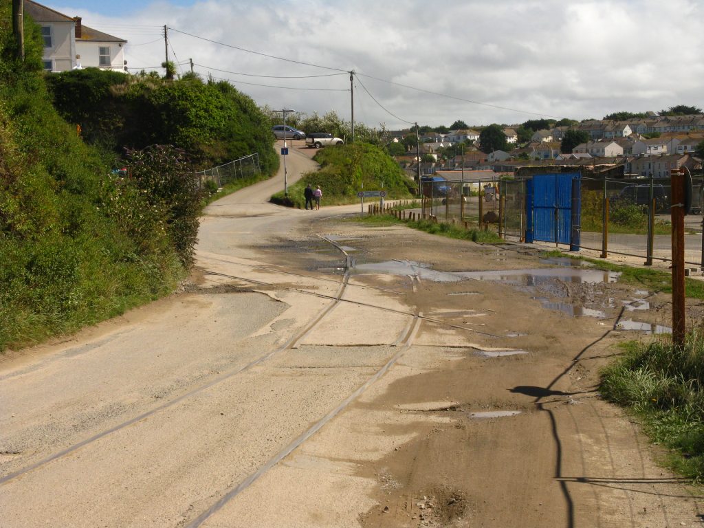
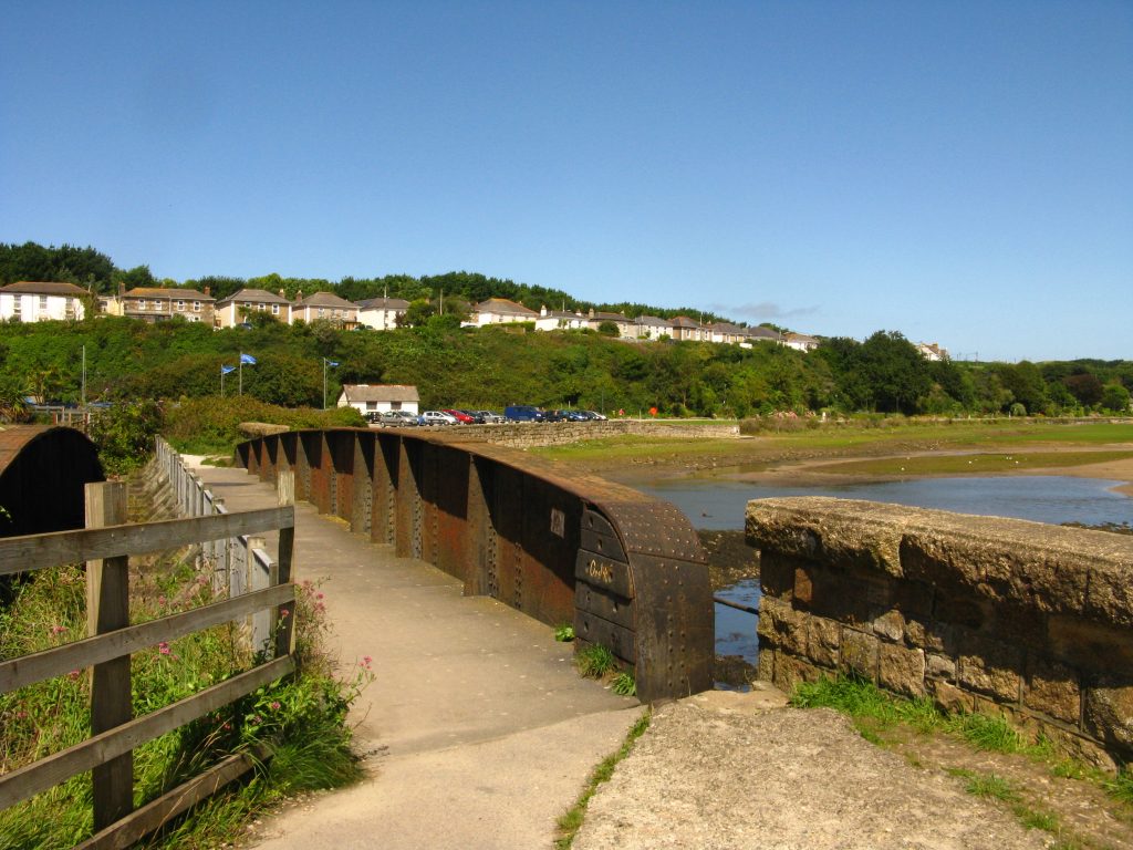
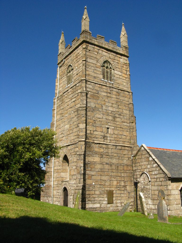
The Path now set off on its long diversion around the Hayle estuary, starting through a chalet park then a rather dreary and run-down former industrial area into Hayle, crossing an old railway bridge which added a little interest, then a walk along a road to the current railway viaduct, then along the main road eventually across the river and into Lelant. There follows more road-walking albeit along minor roads until the Path reaches Lelant church, after which it reverts to dunes as the sea is approached again.
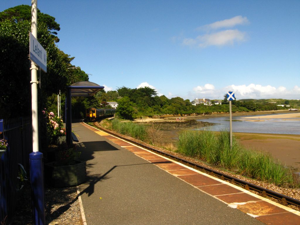
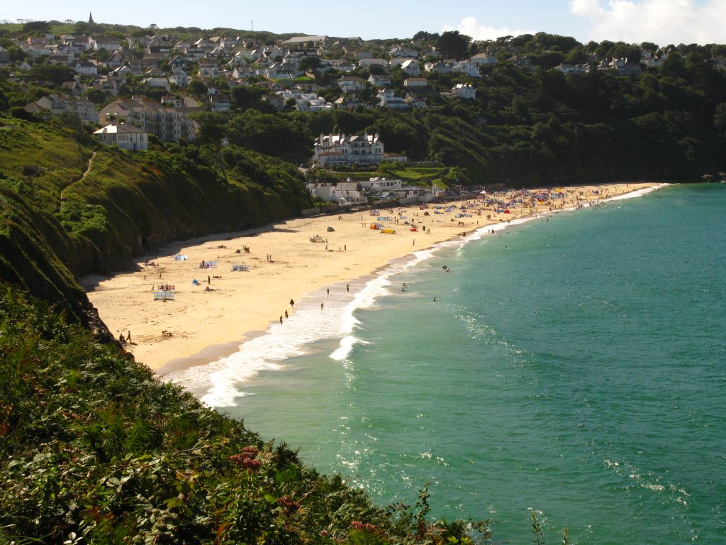
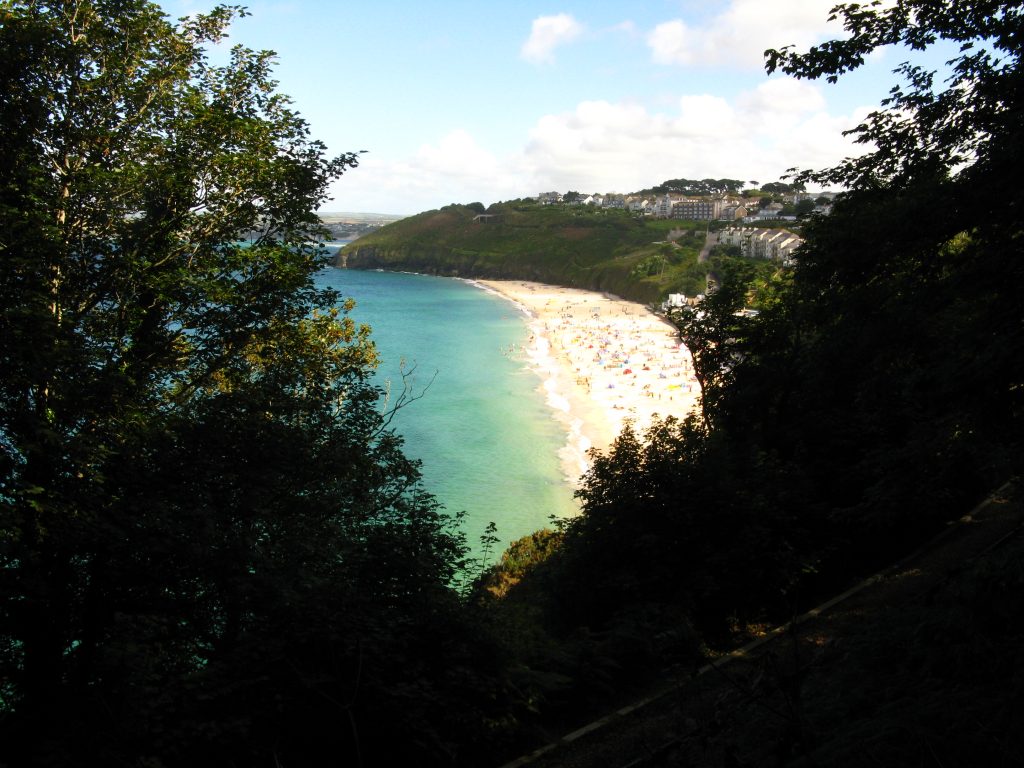
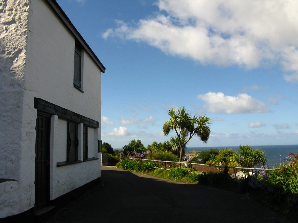
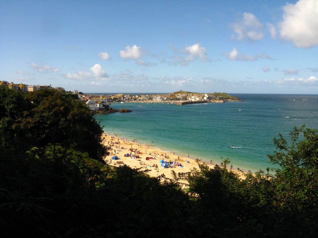
As the Path nears Carbis Bay, there are some sections which are very dark under low-growing and overhanging trees and bushes, and rather muddy too after last night’s rain. Having worried about how my ankles, feet, knees and legs generally would hold up for this longest walk of the five, as I arrived at Carbis Bay railway station where I would leave the Path for my guesthouse, I found myself suddenly deciding to continue on to St Ives. I had always intended to do this extra bit to link in with the section I walked from there in 2008, but had thought I would do it this evening or get up very early tomorrow.
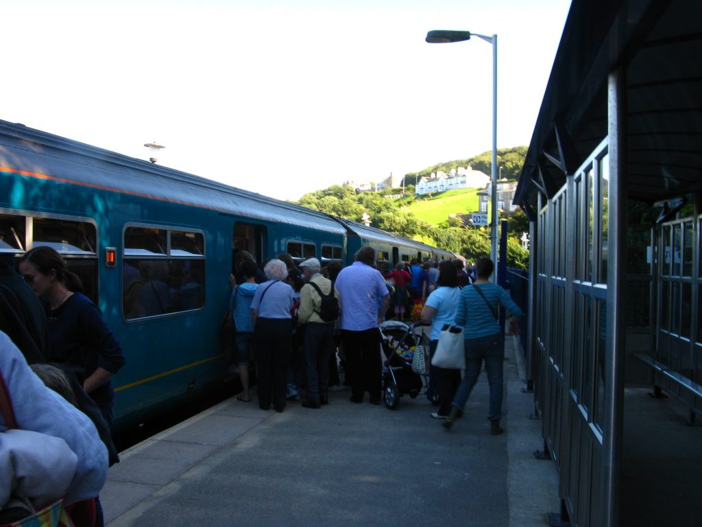
The additional distance passed quickly, and I soon found myself at St Ives railway station where I got my single back to Carbis Bay – for a pound, by far the cheapest train ticket I can recall buying. When I came here in April 2008, the train to St Ives had been a single carriage, but today was four carriages and busy.
And so while this account of my ramblings on the South West Coast Path continues on the next page through St Ives, this particular holiday was coming to an end. The train took me back to Carbis Bay station from where I climbed the hill to Beechwood Hotel, where I spent a comfortable night before the long train ride back to Suffolk.
Overall another very enjoyable trip to the South West. The weather was far from perfect, but not bad and at least it ended on a high. My ankles had worried me before I set off, but in the end gave me no trouble at all, my knees barely raised their voices above a whisper and my body coped well with the five days’ walking.
For next time, I need to find better socks which don’t leave my feet sitting in sweat for the whole day and thus contributing to the blisters, and need to pack more sensibly and question whether I really need quite so many layers including four base layers and a fleece as well as the fleecy hat and two pairs of gloves. I could have managed perfectly well without the evening shoes too, as my boots are perfectly comfortable, though I suppose I wouldn’t have thought so if they’d got wet inside.
So, a quarter of the SWCP is now walked – plenty more to keep me going for a few years yet.