In which: Loe Bar fascinates ● the road retreats ● a church hides in a hill ● Marconi is remembered ● Lucy, Ellie and Hetty are most southerly
Date: 19 April 2011 Time of walk: 0915 to 1610 Today’s walking: 23.1 km Progress along SWCP: 23.0 km Estimated ascent: 1250 metres
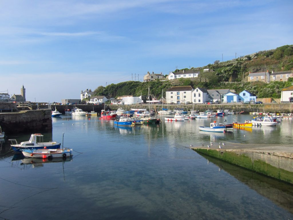
Lucy dropped George and me off at the top of the hill where she’d parked on the previous walk, and we strolled down the hill to the attractive harbour area, which was very quiet at 9.30
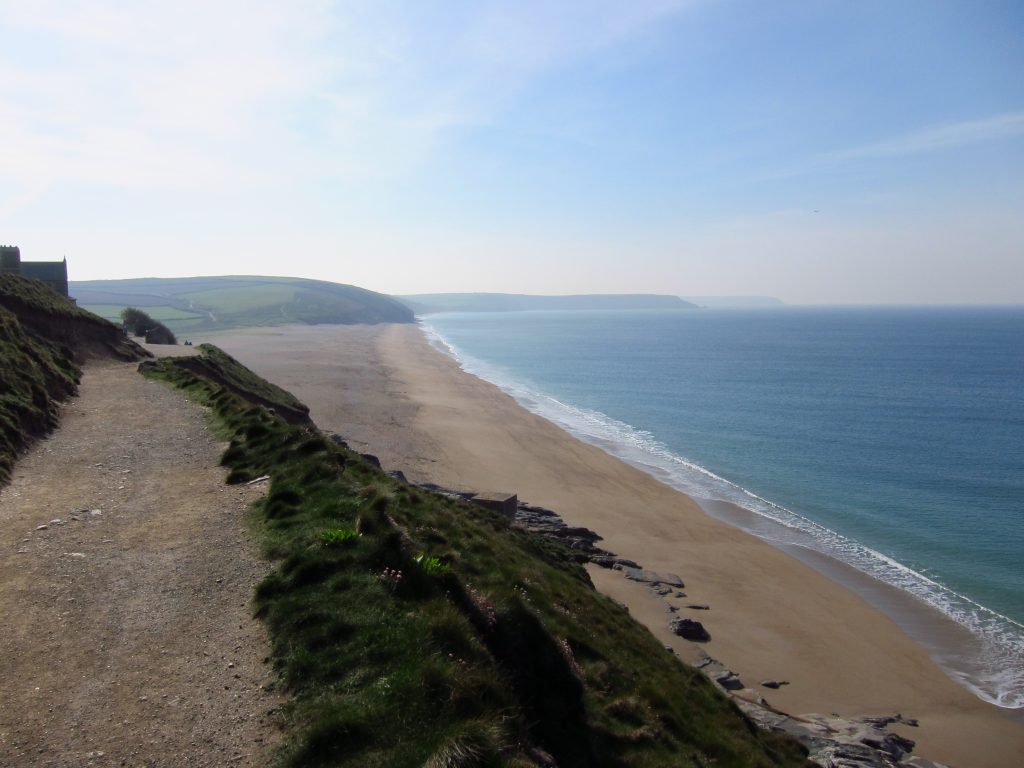
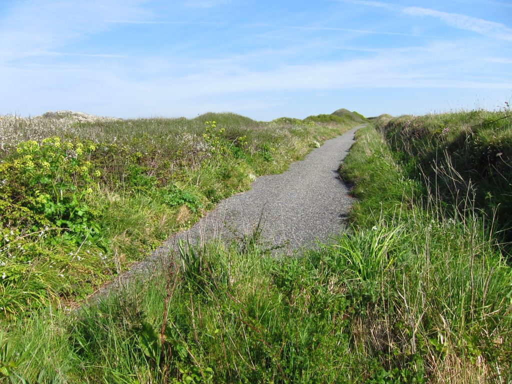
After walking out past lots of holiday cottages, the road gradually becoming quieter, the road ended and we climbed up a little way and then there was this very easy path for a way, leading us to Loe Bar. This shingle beach looks ordinary enough from here, but on rounding the corner its full status is revealed.
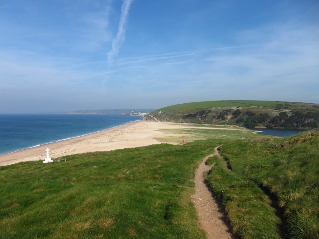
Walking across the shingle beach, inland there is Loe Pool, now a freshwater lake but originally the estuary of the River Cober. The Bar is believed to have been formed in the 13th century and cut off Helston’s access to the sea.
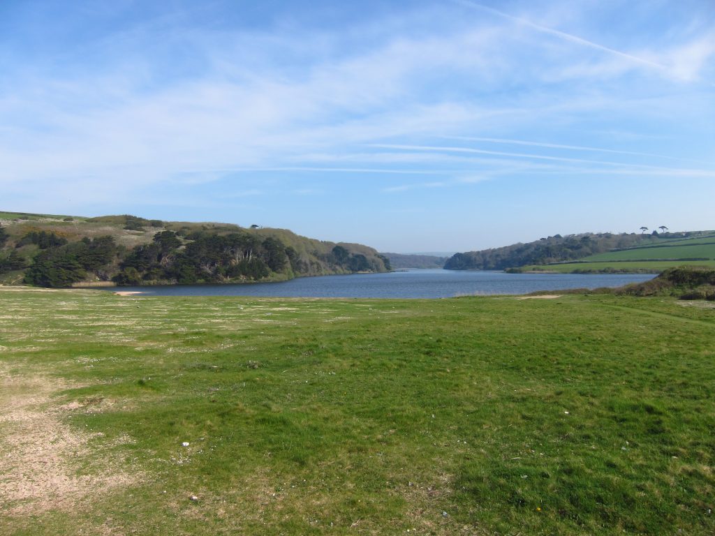
Looking back to Loe Bar, with the tip of Loe Pool on the right. On the left is a memorial to the 100 or so people who were drowned and then buried in the fields after HMS Anson ran aground in a storm in 1807, with locals watching helpless from the cliffs. That incident led to the invention of the breeches buoy system for rescuing people from the cliffs using a rocket to fire a line onto a ship in similar circumstances.
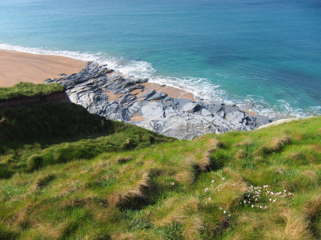
Looking down on Blue Rocks
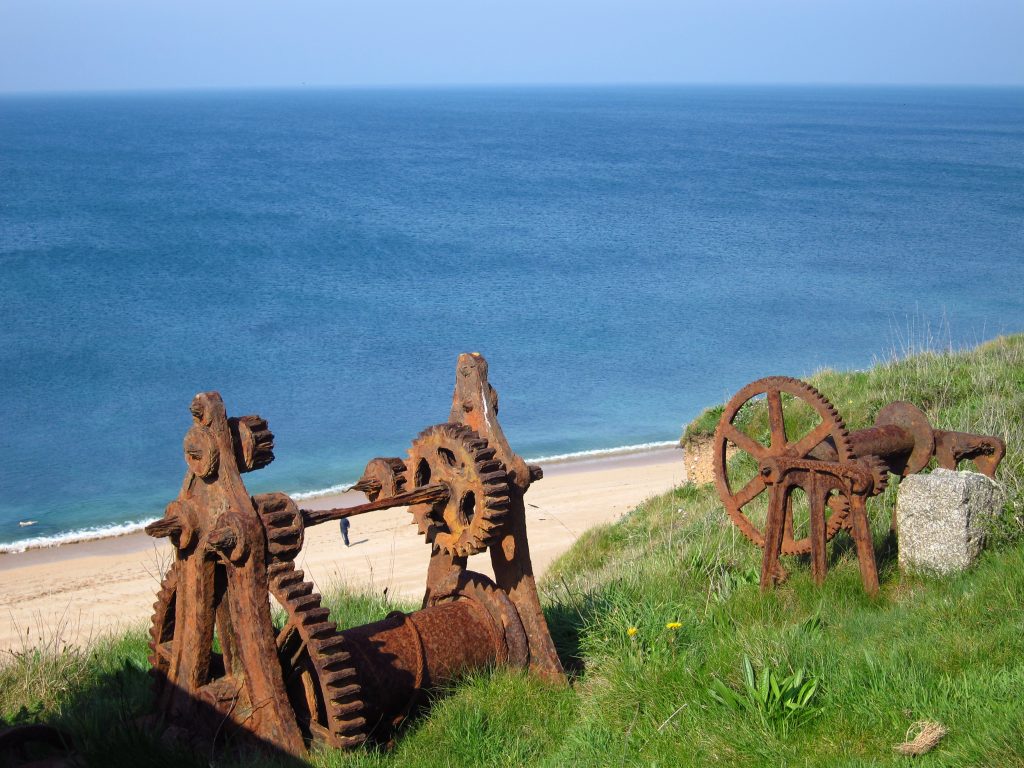
Rusty winches high above Gunwalloe Fishing Cove, possibly from the 1890 wreck of the Brankelow
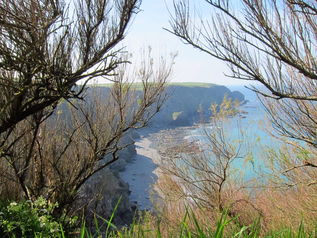
Halzephron (‘cliff of hell’) Cove
This is the remains of the road above Halzephron Cove – the road has been rebuilt further inland and the coast path itself is now on the inland side of the road because of landslips. A couple of boys were cycling along the path here, and I stopped to let them past, but they were captivated by the view so George and I continued.
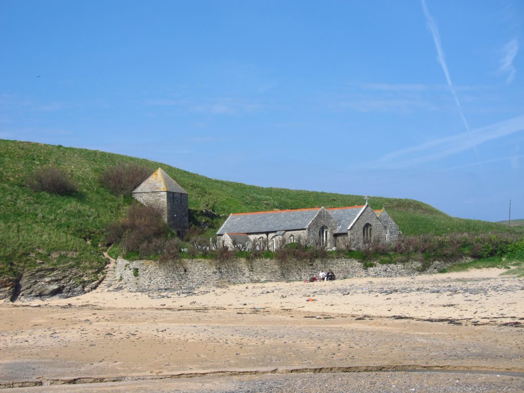
At Church Cove we stopped to admire the unusual placement of the tower of Gunwalloe’s St Winwalow Church, and had a little sit-down on the rocks on the beach, somewhat disturbed by a terrier which barked constantly for the ten minutes we were here.
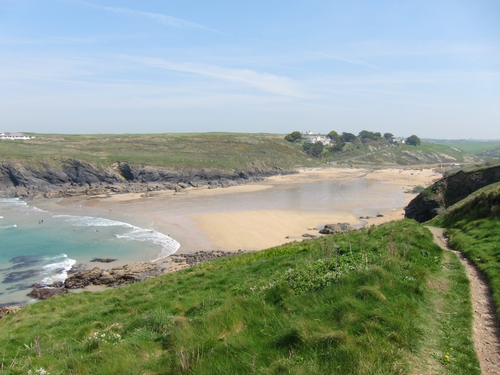
A bit more cliff-top walking brought us to Poldhu Cove: the Coast Path took us around the back of the beach, the cliffs nearer the water clearly making a direct line impractical.
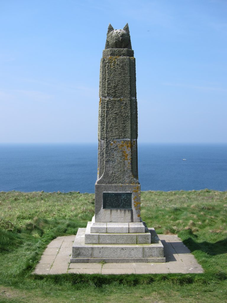
A little further on is the Marconi Monument. In the next field was the Poldhu Wireless Station from which the Marconi Company transmitted the first radio signals across the Atlantic. The Morse letter S was repeatedly transmitted, and was received at St John’s in Newfoundland by Guglielmo Marconi on 12 December 1901. Later, in 1923 and 1924, the first short-wave transmissions were made, again received by Marconi, this time on his yacht in the South Atlantic. The land here was donated by the Marconi Company to the National Trust for the nation.
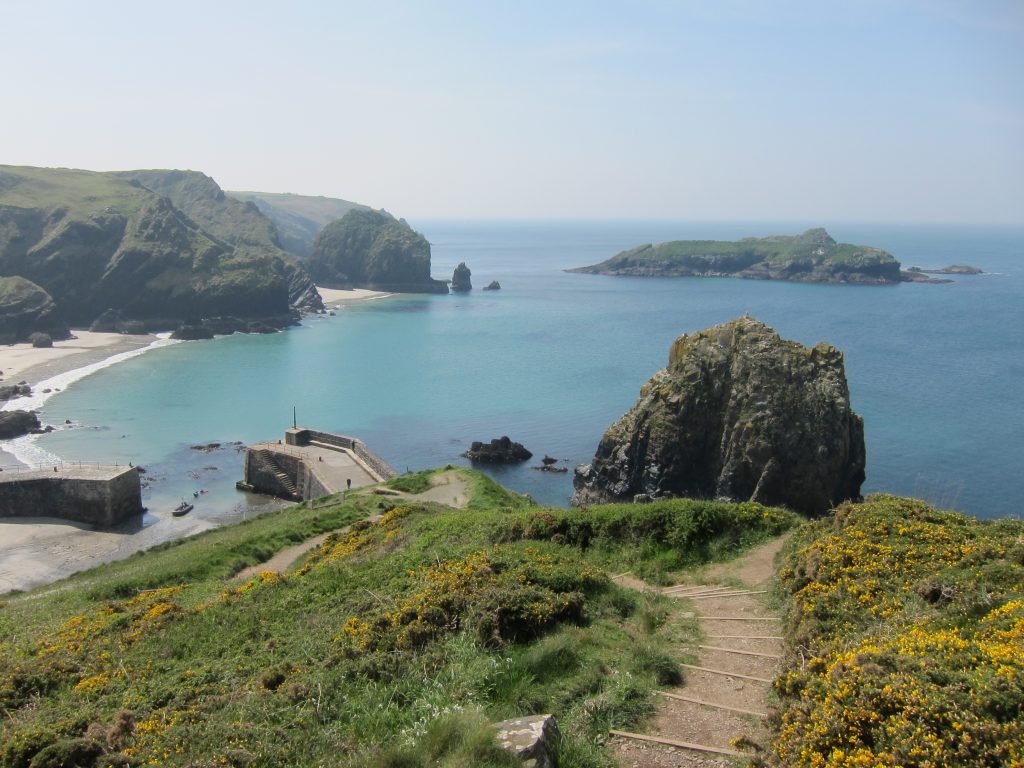
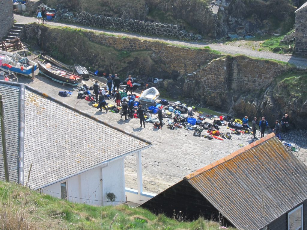
Just past the Mullion Cove Hotel, we descended past a rusty canon barrel into Mullion Cove with views of the harbour and to Mullion Island
Some significant exploit was clearly being prepared. We found our way down some temporary scaffolding steps put in place while building work was going on, and round the back of the harbour.
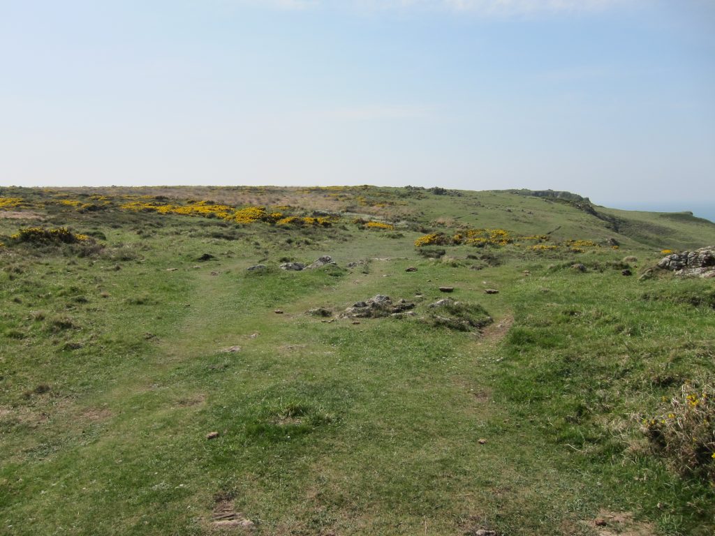
After the ascent from Mullion Cove, we emerge onto the start of the heathland of the Lizard, forming a National Nature Reserve
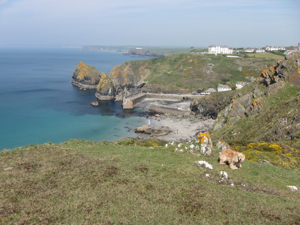
Looking back there is another view of Mullion Cove and the eponymous hotel.
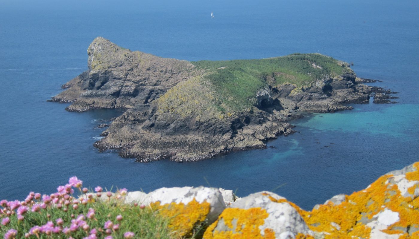
Mullion Island is formed from a lava eruption 350 million years ago and is the most important nesting site for birds on the Lizard: cormorants, shags, kittiwakes and black-backed gulls are among those nesting here.
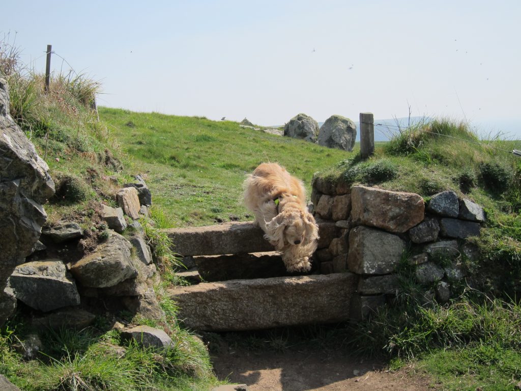
George enjoyed this wall so much he did it five times.
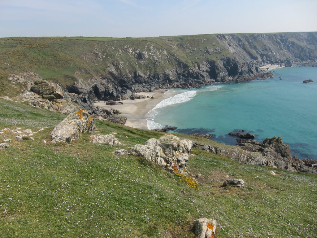
Looking over a carpet of flowers to Ogo-dour Cove. This section was a delight to walk, with easy grassy paths on the tops of the cliffs with extensive views. My right eye started to sting, possibly from sun protection stuff, and after several minutes walking with my right eye closed most of the time I decided that was silly, and stopped for a little lie-down, with my eyes closed and my hat over my face, just absorbing the sounds of the many birds chirruping and enjoying the sunshine on my body. From their sounds, I deduced two pairs of walkers stopped to check I was ok, and I told them I was by reaching out and stroking George.
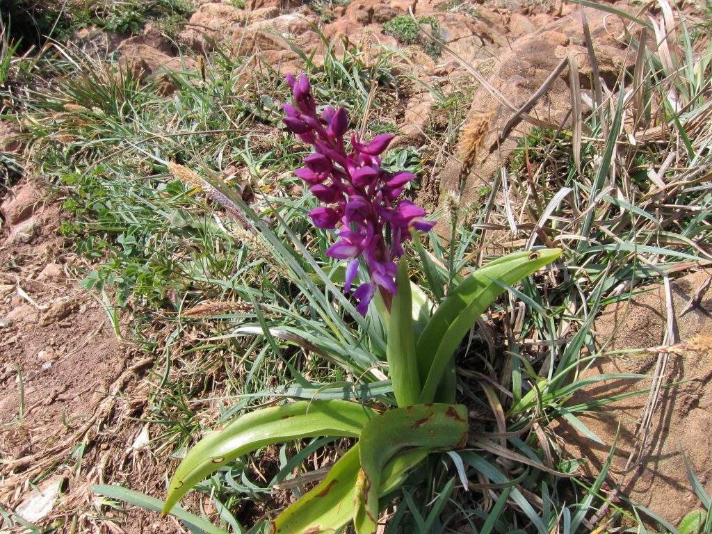
Not sure what this is, but it was pretty, seen on the descent into Gew-graze cove.
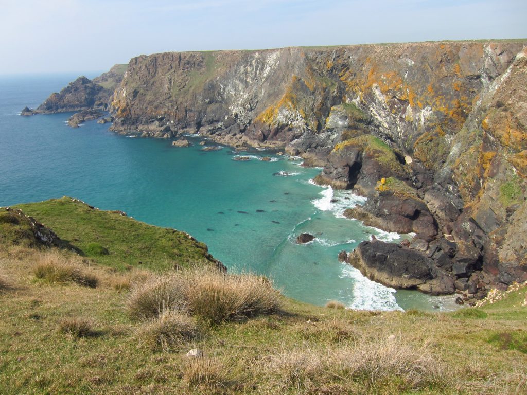
Looking back into Gew-graze after the re-ascent. Soapstone was quarried here and sent to the Potteries before the Cornish china clay industry began.
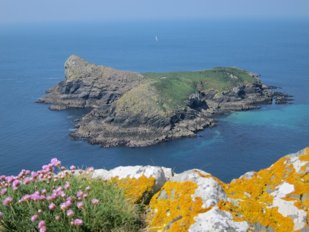
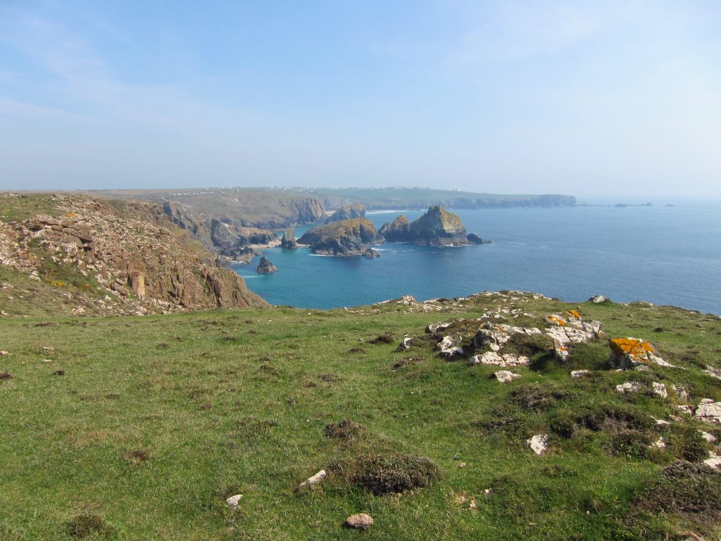
From Kynance Cliff, looking ahead to Asparagus Island and Gull Rock off Kynance Cove, with in the distance Lizard Point and its many offshore rocks.
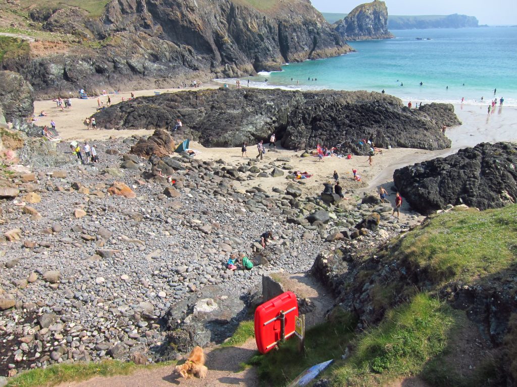
Descending into the popular Kynance Cove. Officially the Coast Path heads inland and back again, but we took the route across the back of the beach before a steep ascent back onto the cliff-tops.
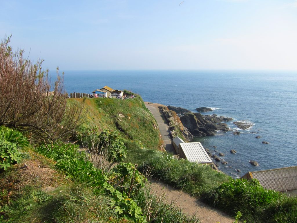
Just before Lizard Point, George and I met Lucy and the cavaliers, and we continued on to the old lifeboat station and the most southerly point in Britain after another great day’s walk.

 by
by