The Helvellyn Range
23 April 2010
A day with high cloud after a fairly prolonged period of dry weather
promised good walking conditions, even if not wonderful visibility.
Because I'd come to the Lake District after a couple of days of
meetings, I was without dog, so took advantage of the opportunity to do
a one-way walk involving a bus.
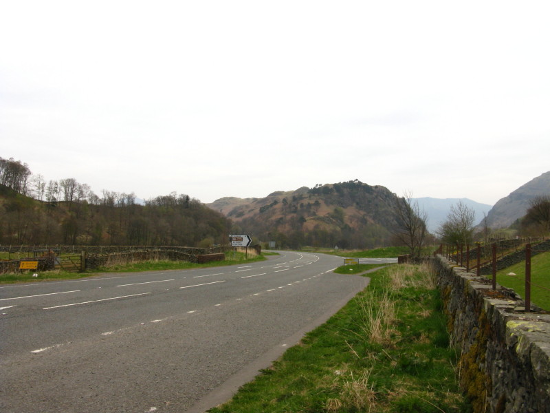
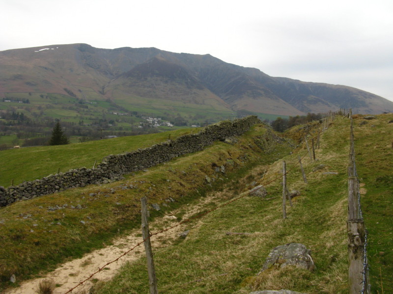
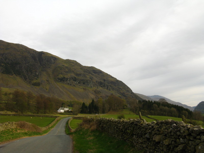
At the bus stop on the A591 at the foot of Thirlmere, looking towards
High Rigg. I've parked the car at the bottom of Stannah Lane ready for a
descent from Sticks Pass this afternoon. The
555 bus runs every hour, though was about 15 minutes late.
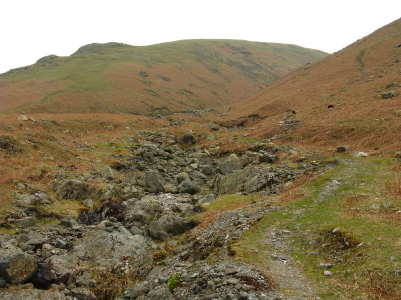
Having taken the bus some 8 kilometres south to the pass of Dunmail
Raise, I am now starting the climb alongside Raise Beck
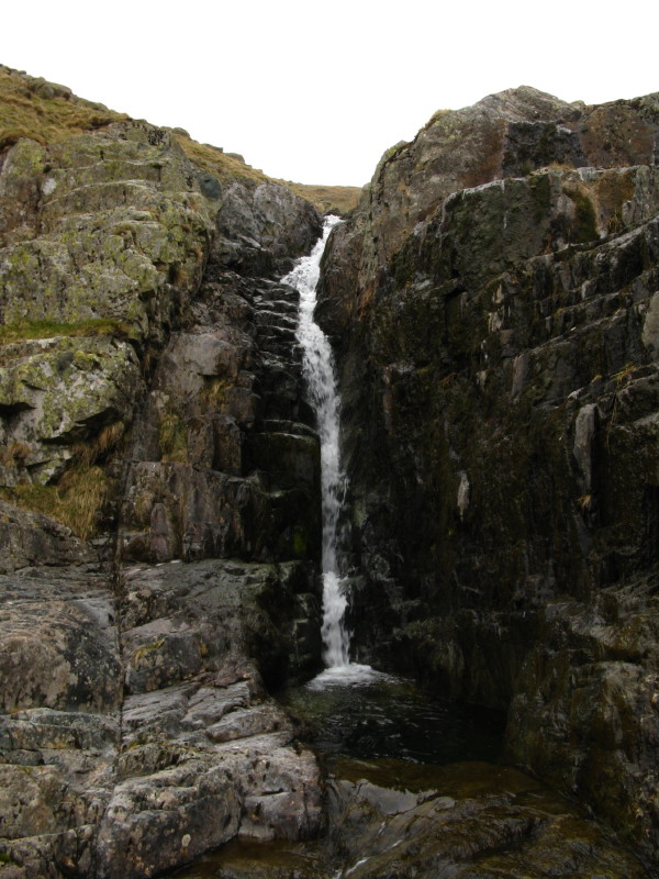
There are some lovely waterfalls along this climb - though rather
lacking in water today. Indeed, at the bottom, the beck was barely
flowing.
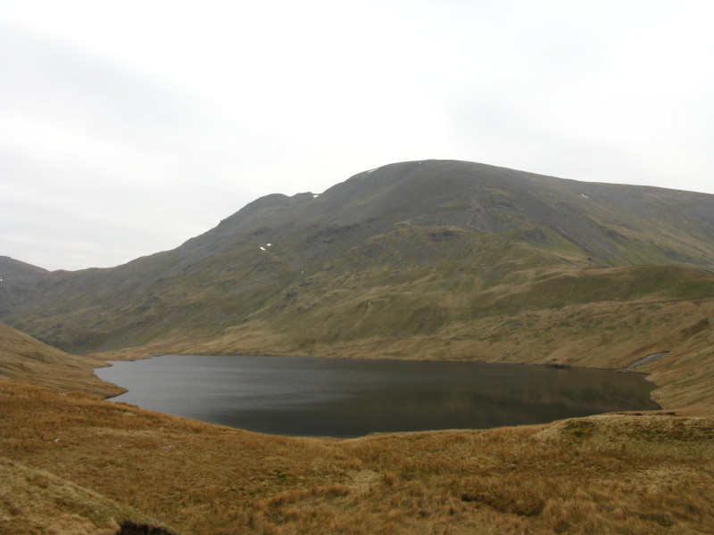
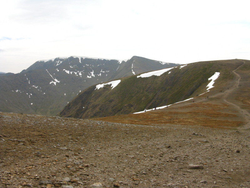
At the top of the pass, the view opens out to show Fairfield beyond
Grisedale Tarn
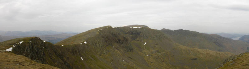
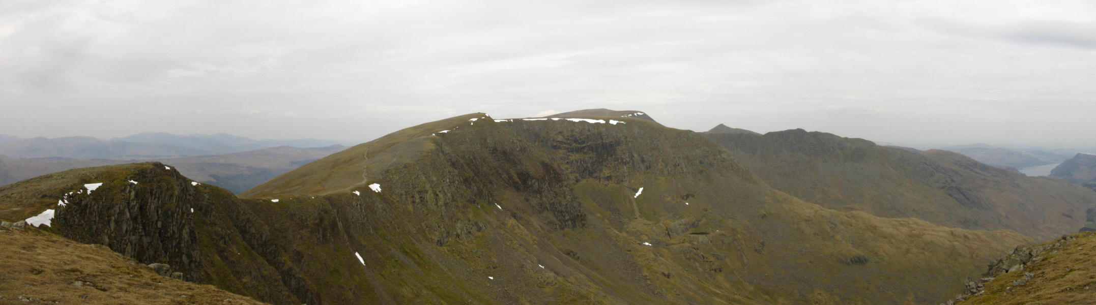
After a climb up the zigzag path I have reached Dollywaggon Pike, from
where there is an extensive view north along the Helvellyn range, with
Helvellyn itself just to the right of centre, with High Crag and
Nethermost Pike to visit first

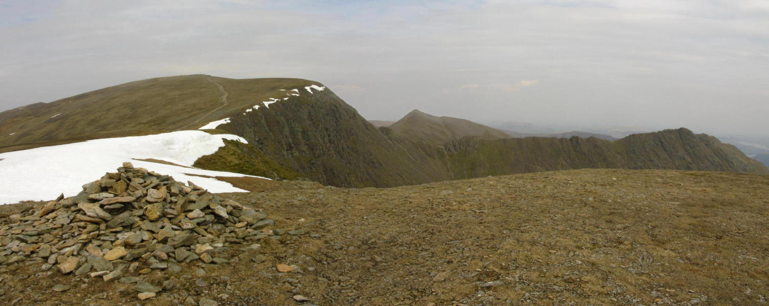
From Nethermost Pike, looking to Hevellyn, left, with the sharp ridge of
Striding Edge running to the right, with the pointed Catstye Cam behind.
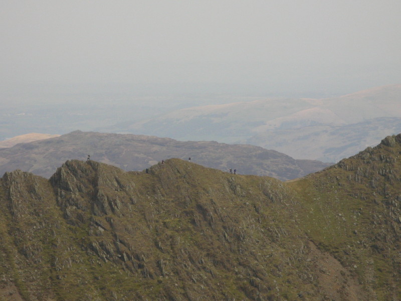
A close-up of part of Striding Edge, with walkers on its top.
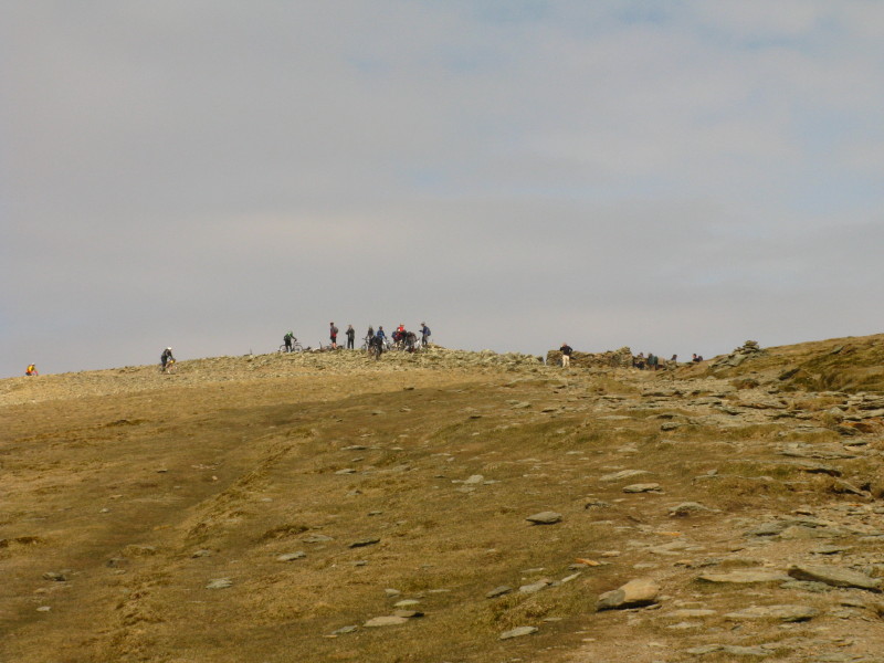
Approaching the busy top of Helvellyn, today mostly populated by
mountain-bikers
From the wind shelter on Helvellyn, looking across to the trig point
A look back over Nethermost Pike, High Crag and Dollywaggon Pike;
Fairfield is more misty on the left.
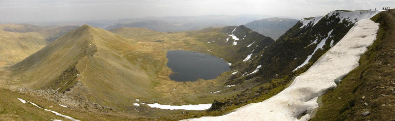
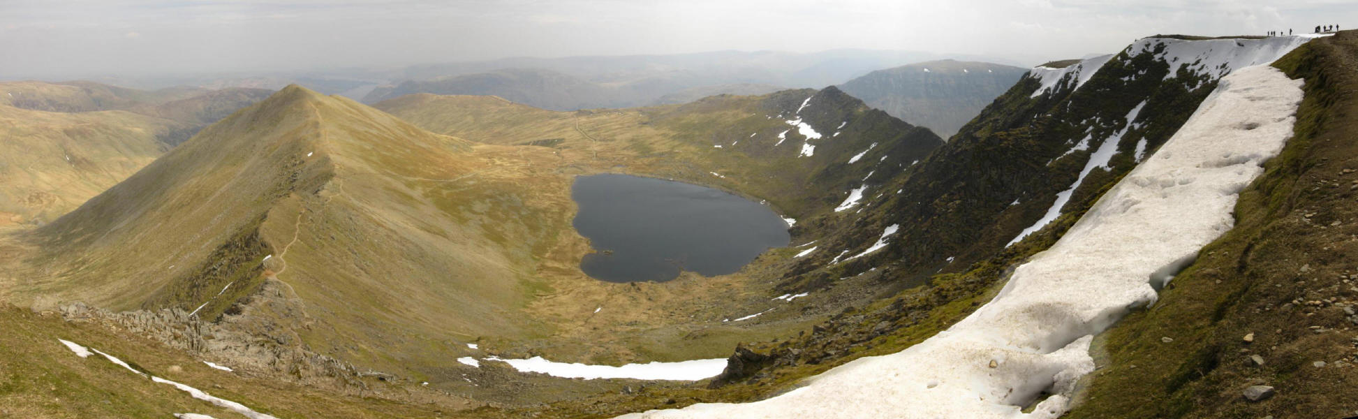
From near the trig point, looking down on Red Tarn sandwiched between
Swirral Edge and Catstye Cam, left, and Striding Edge, right.
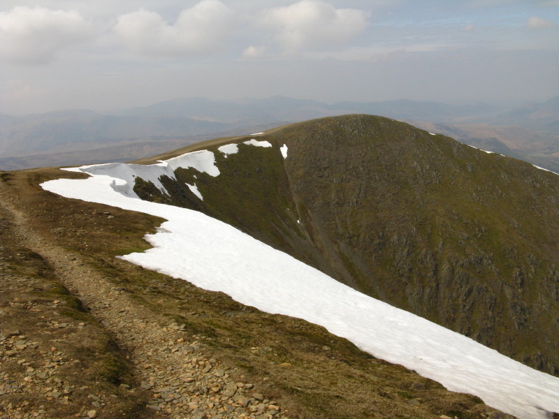
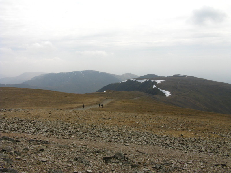
Ahead to Lower Man
And further ahead to Whiteside and Raise, and down into Keppel Cove on
the right
Descending from Lower Man towards Whiteside and Raise
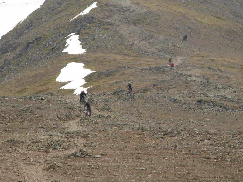
A little later, looking back as the mountain-bikers make the same
descent
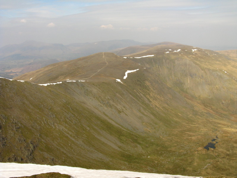
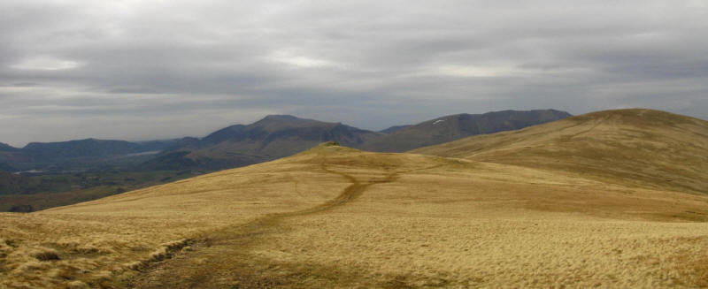
On Whiteside, looking towards Raise. The high cloud is breaking and we
are getting more and more sunshine.
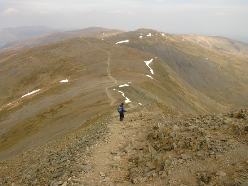
Looking back from Raise to Whiteside, as the mountain-bikers part
company with me and head down into Glenridding
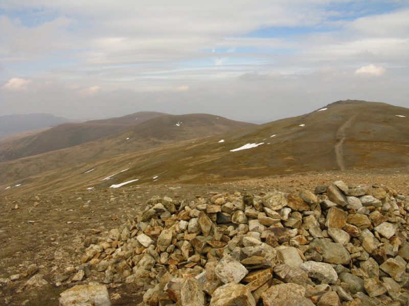
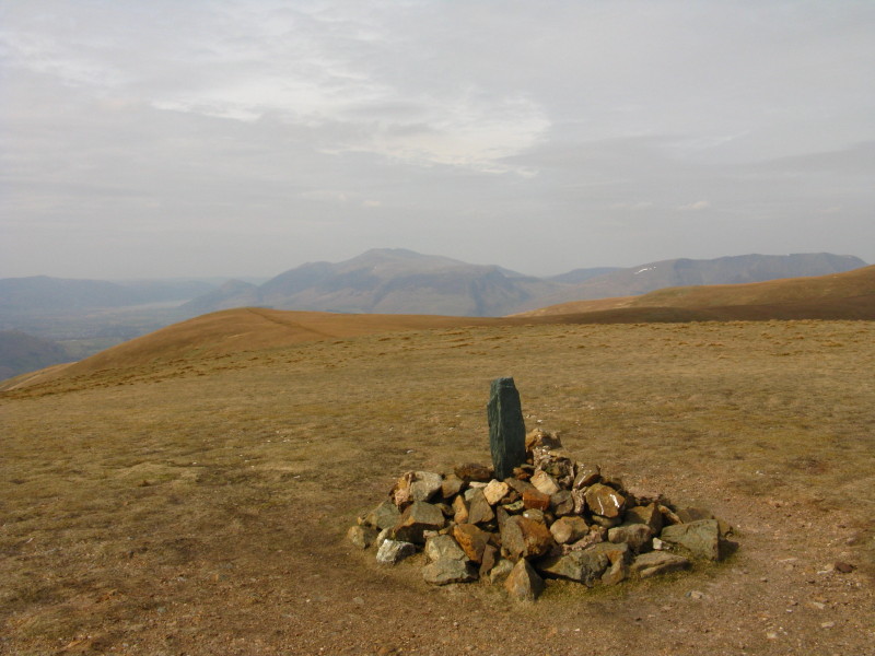
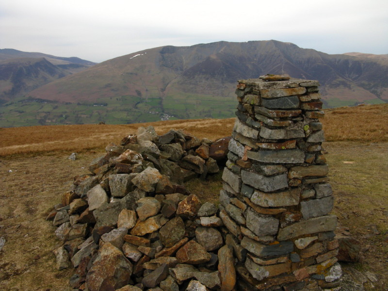
The impressive cairn on Raise, with Stybarrow Dodd beyond the hidden
Sticks Pass.
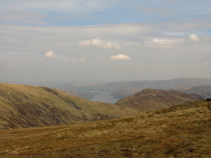
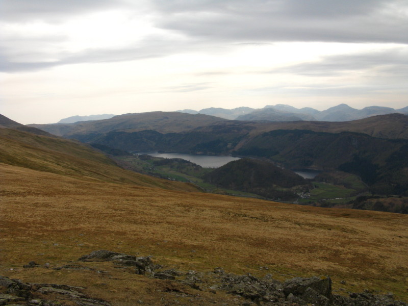
Descending from Raise to Sticks Pass, a look along part of Ullswater
At Sticks Pass, my intention had been to descend directly to the car.
However, I'd made good progress, and once on the top of Dollywaggon Pike
much of the ascent had already been completed, with the going underfoot
generally very good. I started to descend to the car, but after a
hundred metres or so changed my mind, and began the climb onto Stybarrow
Dodd.
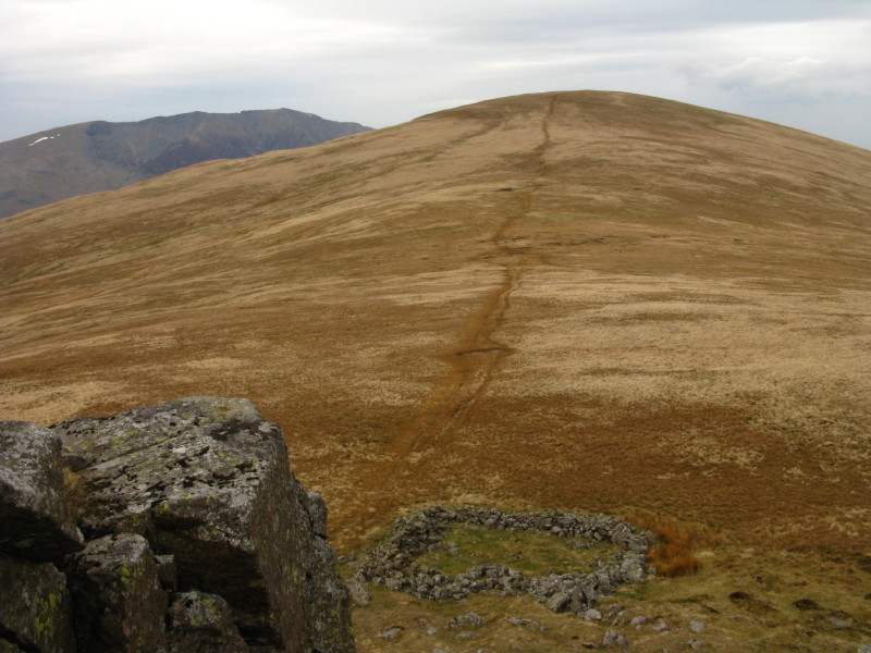
On Stybarrow Dodd, looking to Watson's Dodd
After a visit to Watson's Dodd, the way from Great Dodd then lies ahead
- a short detour to talk in Calfhow Pike before the final climb onto
Clough Head
From Calfhow Pike, looking south-west to the foot of Thirlmere. The car
is centre picture, gradually being left further behind
From Calfhow Pike, the final ascent to Clough Head
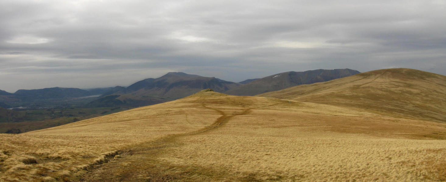
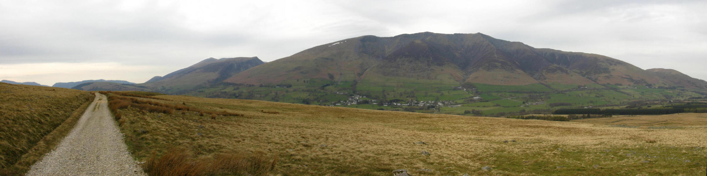
On Clough Head, looking across to Blencathra
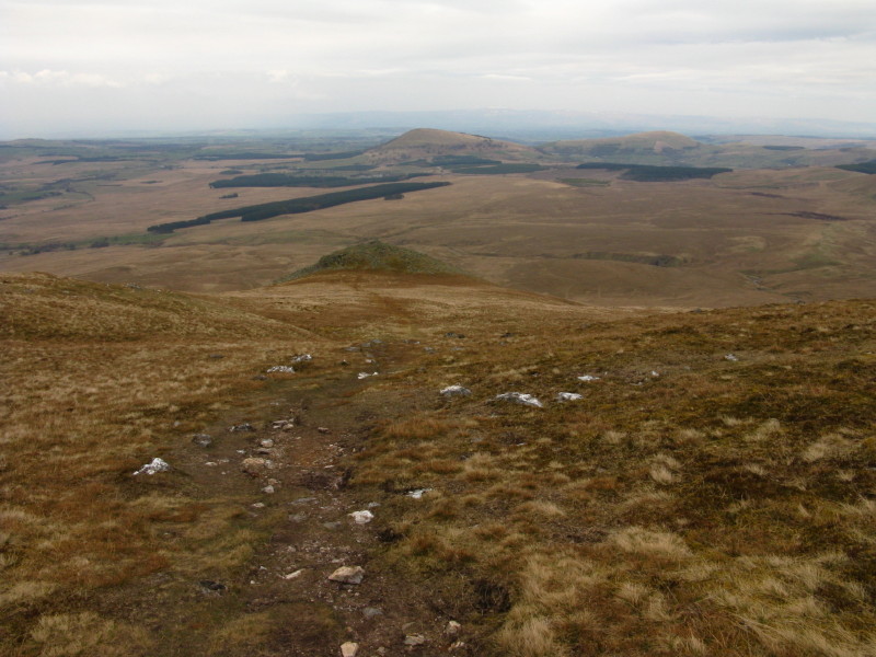
Descending Clough Head to the north-east. A final short visit to the
little summit of White Pike seems to be in order
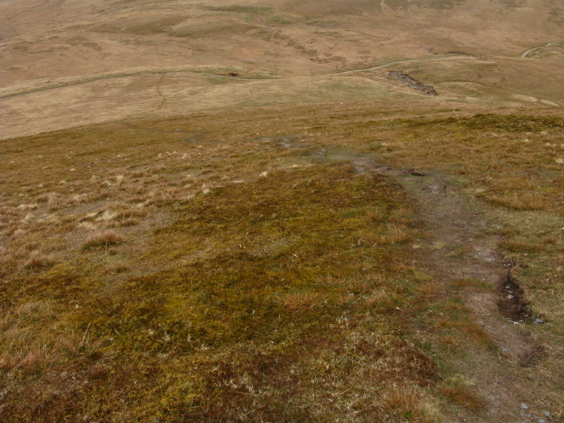
Then more grassy descent on weary knees to the Old Coach Road

Safely on the Old Coach Road, looking across to Blencathra. Although all
the proper hill-walking is over, there remains about four kilometres of
walking to reach the proper road, and another four kilometres back along
that to the car.
Crossing the line of an old mineral railway
Back on the proper road, and its an easy and pleasant tramp back to the
car
Zoom in for more detail, or see map in larger window: Ordnance Survey |
Open Street Map |
Google Maps
A long walk, but a grand expedition. Wainwright said that the full traverse of
the Hellvelyn range is a magnet for strong walkers, and though I didn't start
off with that intention, I'm glad I kept going past Sticks Pass as it was a very
satisfying achievement to have done the whole range in one go. Although my knees
did complain a bit on the descent from Clough Head, when I slowed down a little
they were ok, and my legs didn't give me any trouble despite the length of the
walk.
Total distance 26.2 km and 1438 metres of ascent in 8 hours 49 mins
|