Angles Way 3: Knettishall Heath to Thelnetham
22 January 2012
The Angles Way is a footpath which is branded "From Broads to Brecks", running
from Great Yarmouth along the routes of the Rivers Yare, Waveney and Little Ouse
(and thus broadly the Norfolk/Suffolk border) to Knettishall Heath, near where
the Icknield Way Path and the
Peddars Way
meet: on its way it passes the start of the
Mid-Suffolk Footpath.
However, on the whole I prefer to walk from west to east, and although
Knettishall Heath is a fine place, I
thought that it would serve just as well as an inspiring start and The Broads
(and, with a short extension, the sea) would be a good finale. Further, as the
two long distance paths I've mentioned above meet on the western side of Knettishall Heath, it
seemed to me that it was therefore much more satisfying for the Angles Way to
connect with them rather than finishing on the eastern side of the Heath, and so I
started with a short extension to the official route.
With Lucy visiting a friend in Norfolk for the afternoon, it made it easy for
Stephen to take George and Hetty for a winter's afternoon walk.
So, having started in the car park at the end of the Icknield Way Path
and crossed the road, for the next few metres we are walking along the
Peddars Way,
heading for the north Norfolk coast, but very shortly we turn off to the
right and take the pleasant winding path through Knettishall Heath
Once a Country Park in the care of Suffolk County Council, the area
should shortly come into the hands of the Suffolk Wildlife Trust as the
council have decided as part of their cost-saving to do without country
parks. As a contributor to overall wellbeing and long-term health, I
would have thought country parks excellent value for the taxpayer, but
it's a more politically palatable cut than something relating to
people's immediate critical needs. I hope that as a wildlife trust they
don't immediately start plastering the place with "keep dogs on leads"
notices that seem to be becoming more prevalent.
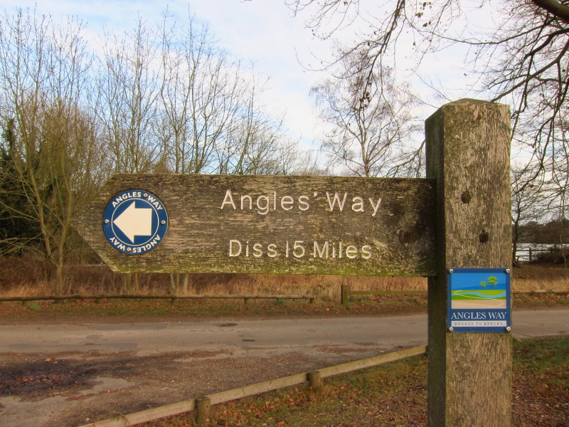
At the eastern edge of the former country park, we reach the start of
the Angles Way proper
A short bit of road-walking takes us over the Little Ouse...
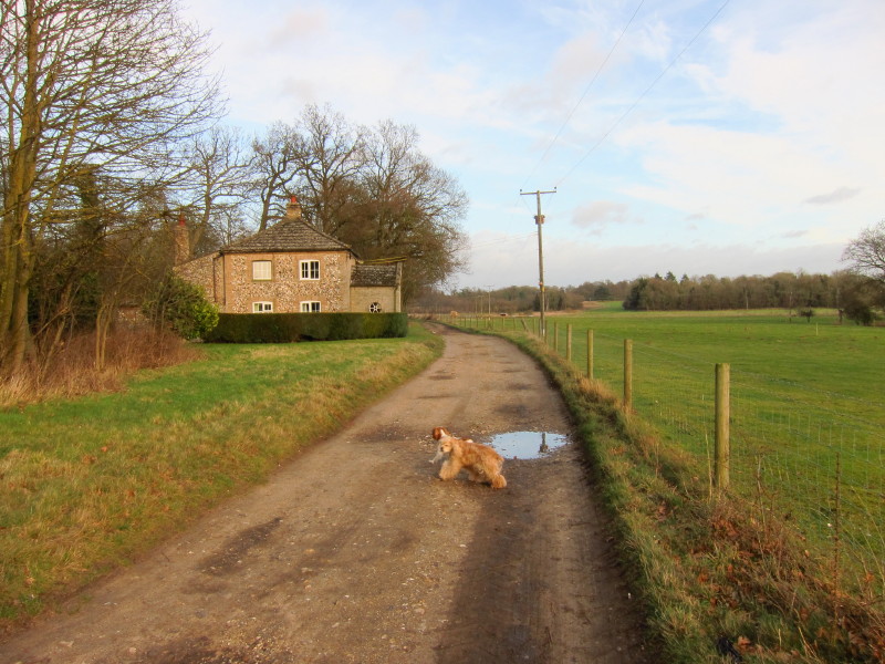
...and on to this track
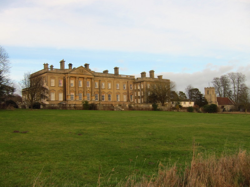
We soon pass the grounds of Riddlesworth Hall Preparatory School and
St Peter's church - both once home to Diana Spencer, the future Princess
of Wales.
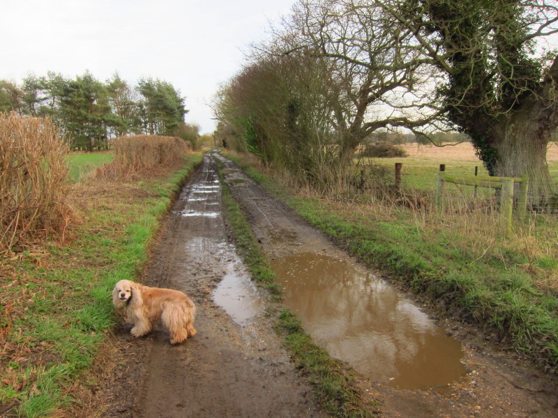
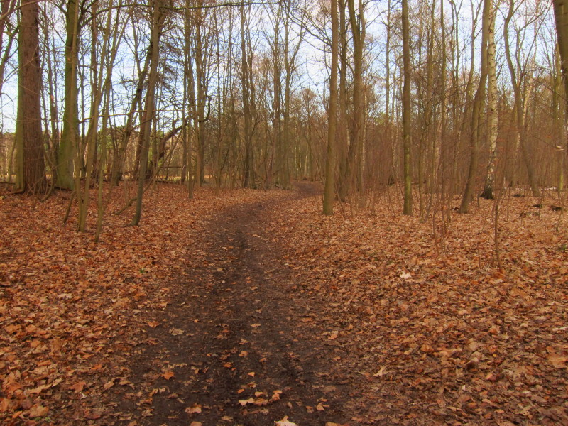
...before we return to the track, which has become muddier. Fortunately
this section was the worst of the walk and George, though he got a bit
worse that in this photo, then improved as the mud dried and fell off.
Along the track we pass over an oil pipeline, part of the Government
Pipelines and Storage System (GPSS), run by the Oil and Pipelines Agency
for the Ministry of Defence. The network was built before World War II
but is still used to supply fuel to the military. This is the line from
Buxton via Hethersett to Saffron Walden. On last week's walk along the
Mid-Suffolk Footpath we passed over another GPSS pipe, but heading from
Thetford to Woodbridge & Tunstall.
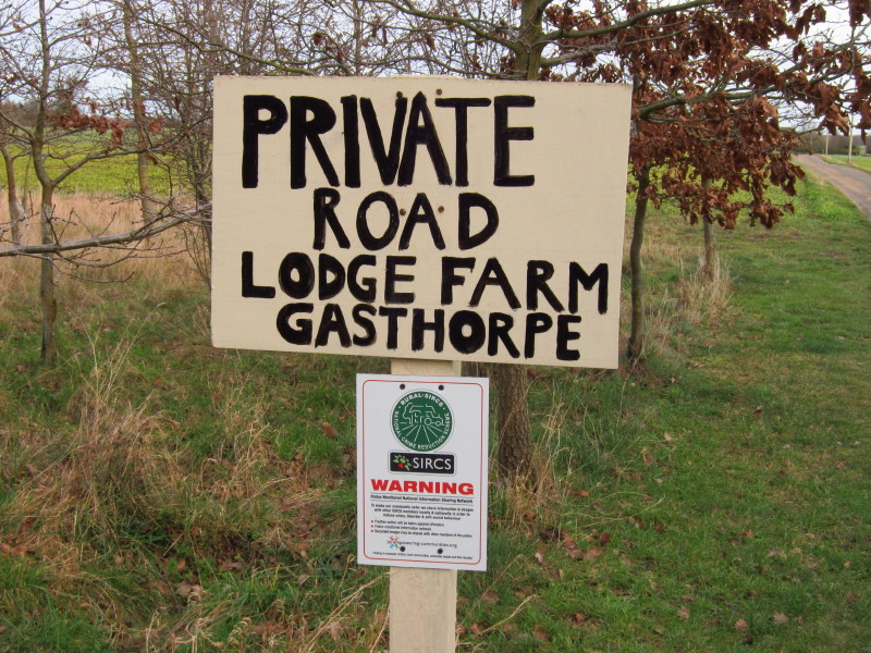
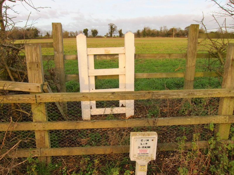
After crossing the road at Gasthorpe, the next section is along a farm
road which is also a public footpath, though you might not guess it from
this potentially intimidating sign near its start.
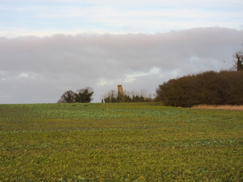
We pass within sight of the ruined church of St Nicholas, Gasthorpe, in
ruins by the mid-19th century
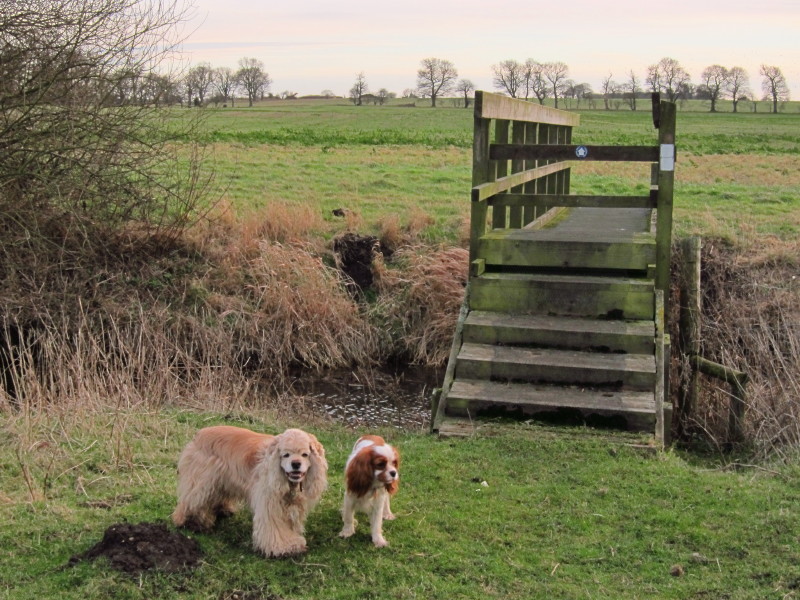
At the farm we turned off the access road, past some penned sheep and
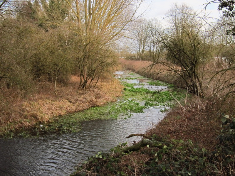
cross the Little Ouse once more
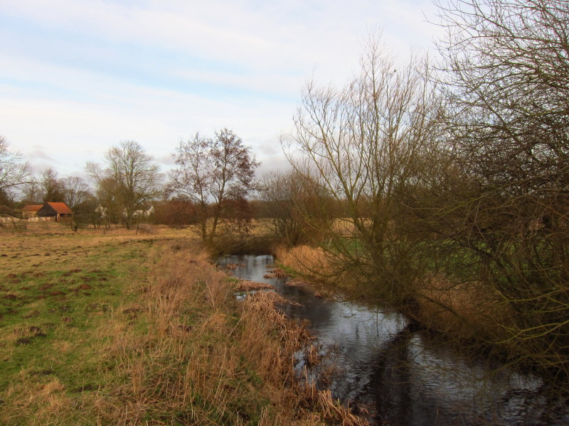
It's getting smaller, but still moderately substantial even though there
is only 7 or 8 km to go till its source. The Angles Way doesn't cross it
again: the next time we cross a river it will be the River Waveney which
starts at the same point but flows east rather than west.
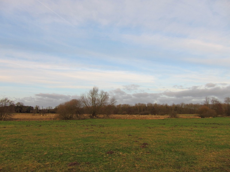
Sheep on the flood plain of the Little Ouse
The afternoon is drawing on, and communications start with Lucy to
arrange where she will pick me up. I'm fairly flexible as I'm on a
linear walk but remaining light will become a limiting factor
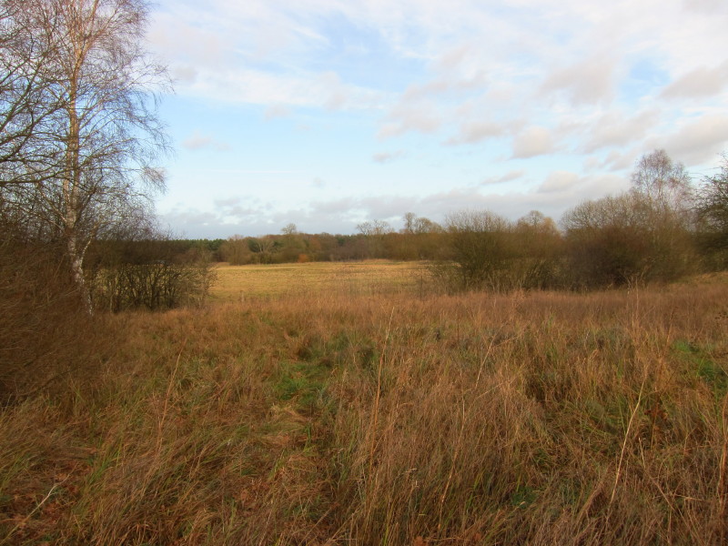
eventually. We turn off the main track of Mill Lane here and head
towards Hopton Fen
After skirting Hopton Fen, we cross fields towards Hopton.
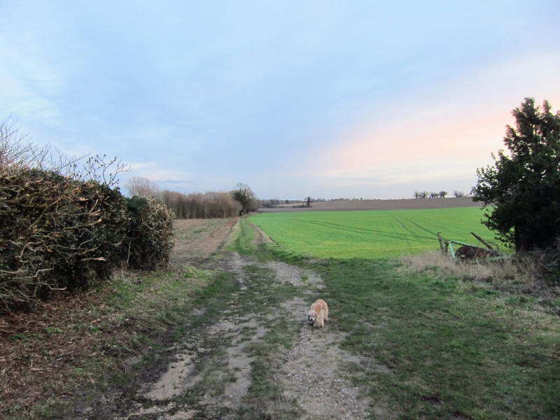
Once through Hopton, we take to this bridleway towards Spring Farm. The
camera is starting to struggle as the light begins to fade.
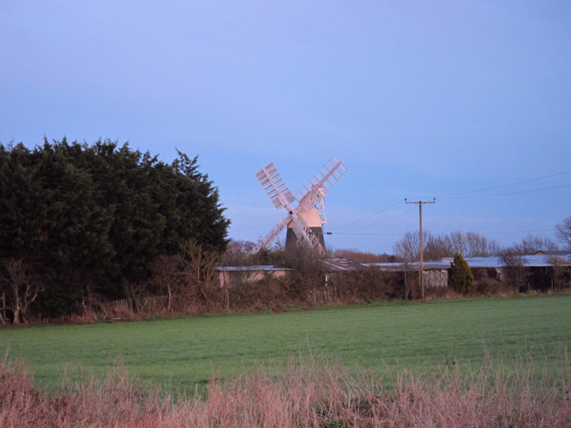
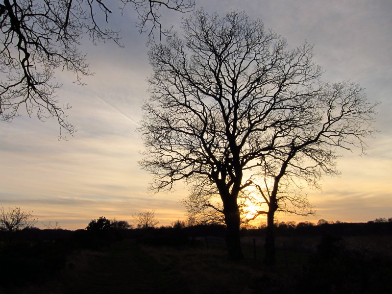
Passing Thelnetham Windmill
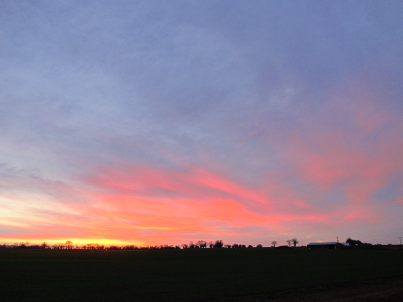
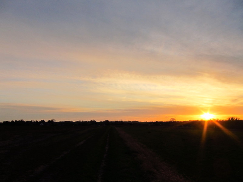
Some lovely colours in the sky
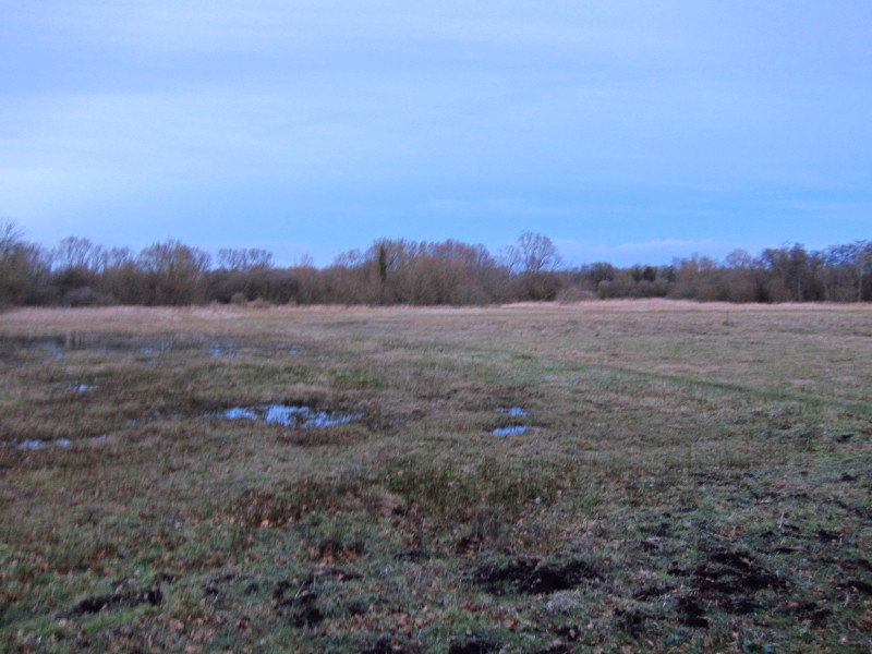
And a final blurry photo of Thelnetham Fen pushes my handheld camera to
its dim-light limits before a short walk, aided by torch light, takes us
into Thelnetham proper, where Lucy picks us up by the now closed White
Horse pub.
Total walk was 10.8 km in 2 hours 24 mins (including 9.4 km along the official line of
the Angles Way from the eastern end of Knettishall Heath).
 

|