Capital Ring 14 and 15: Hackney Wick to North Woolwich
15 April 2007
Inspired by our inadvertent walking of sections of the Capital Ring while doing
walks along the Grand Union
Canal and the River
Lee Navigation last weekend, today Stephen and George deliberately set off
to walk part of the Capital Ring.
If the London Loop is the M25 for
walkers, then the Capital Ring is the North and South Circular Roads for
walkers, linking together green spaces to be found around London, to create a
120-kilometre inner circular walk to complement the 240-kilometre walk that is
the London Loop.
The part chosen for today was (most of) sections 14 and 15: section 14
officially begins where we began last weekend's walk by the junction of the
River Lee Navigation and the Hertford Union Canal, but we began at the point of
divergence of the Capital Ring; and section 15 officially ends on the south bank
of the Thames, but we stopped on the north bank, saving the crossing of the
river for another time.

So, having got the Docklands Light Railway to the delightfully named Pudding
Mill Lane station, we quickly reach the Northern Outfall Sewer. As explained in
the River Lee walk, the Sewer was constructed in 1862-3 with Joseph Bazalgette as engineer. This is one of three major sewers constructed by
Bazalgette after an outbreak of cholera in 1853 and "The Big Stink" of
1858. Previously sewage was dumped directly into the Thames in central London,
but these intercepting sewers transferred it parallel to the Thames - this one
to Beckton. Originally just dumping it in the river lower down was the
objective, but nowadays the waste is treated before it enters the river.
The top of the Northern Outfall Sewer now forms the Greenway path and cycleway
through east London, and it is this that we will be taking for about 5.5
kilometres, through Stratford, West Ham and East Ham.
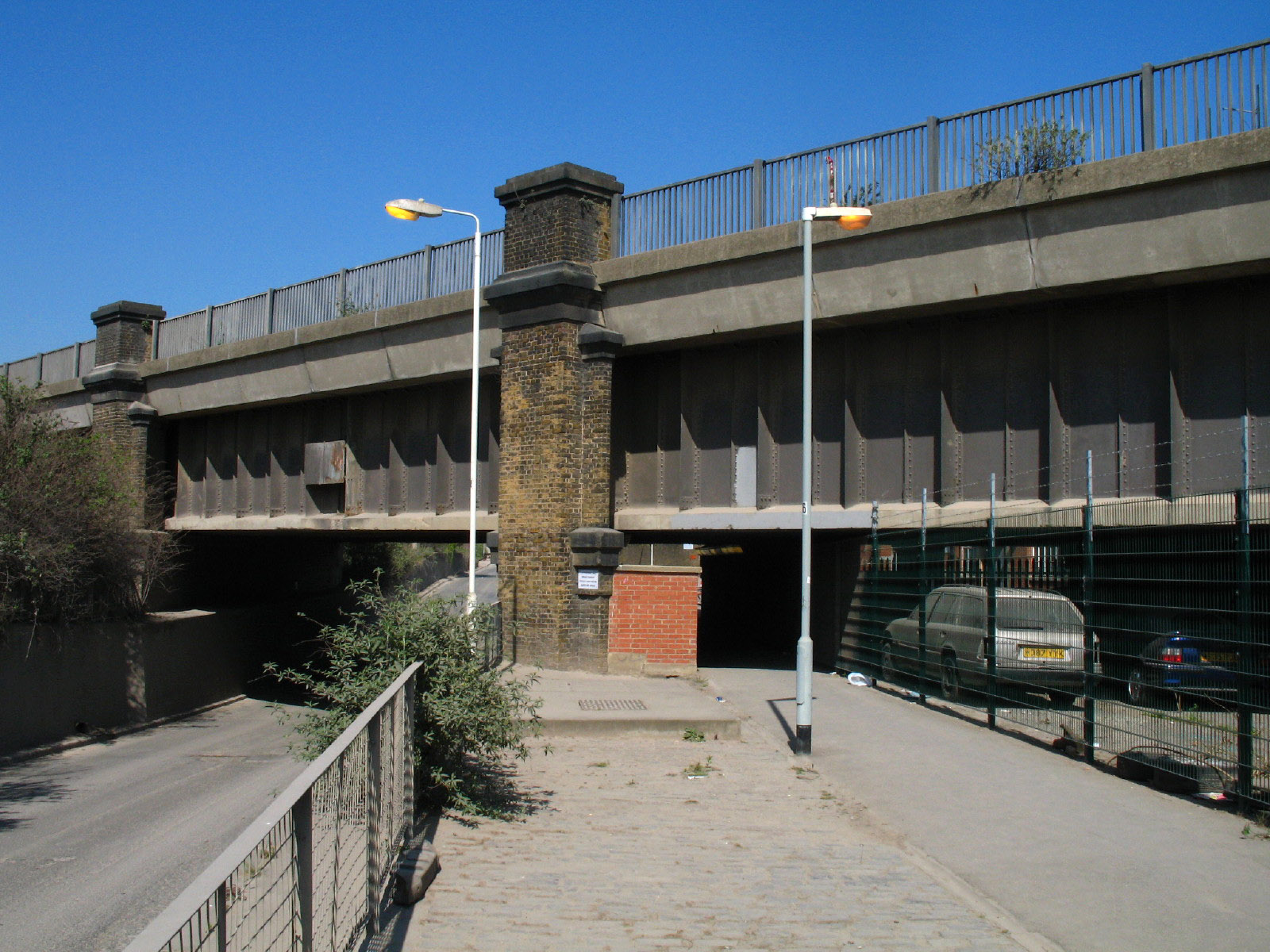
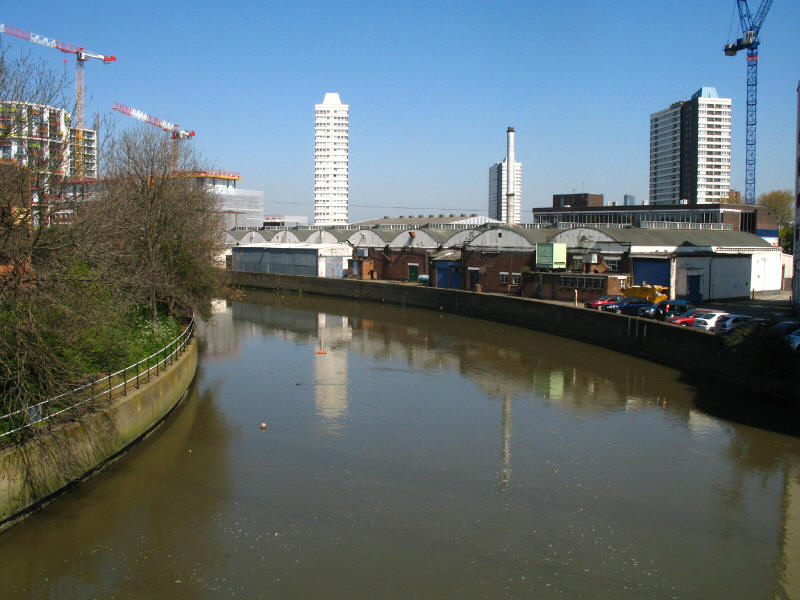
Although our route really lies eastwards, to fill the small gap we first divert
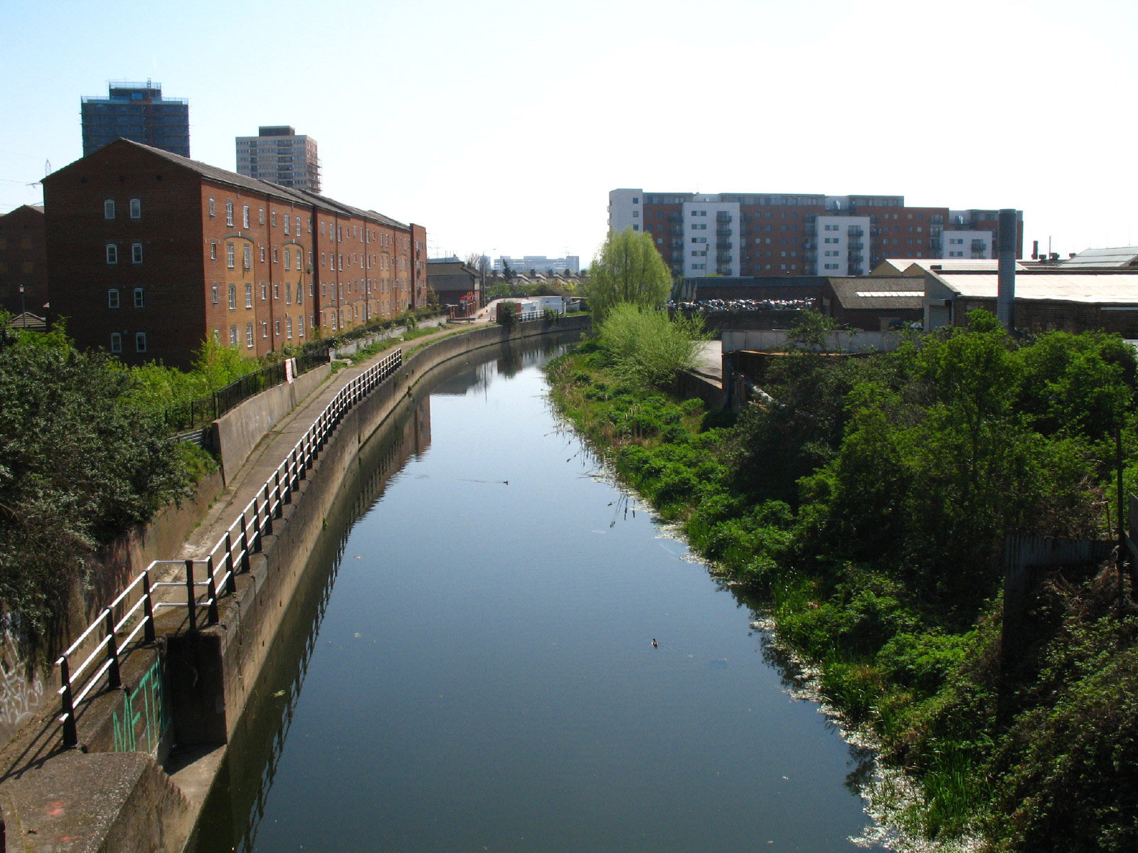
west along the Greenway back to the River Lee. This is the bridge that carries
the Greenway over the Lee - which shows just how wide the Sewer is.

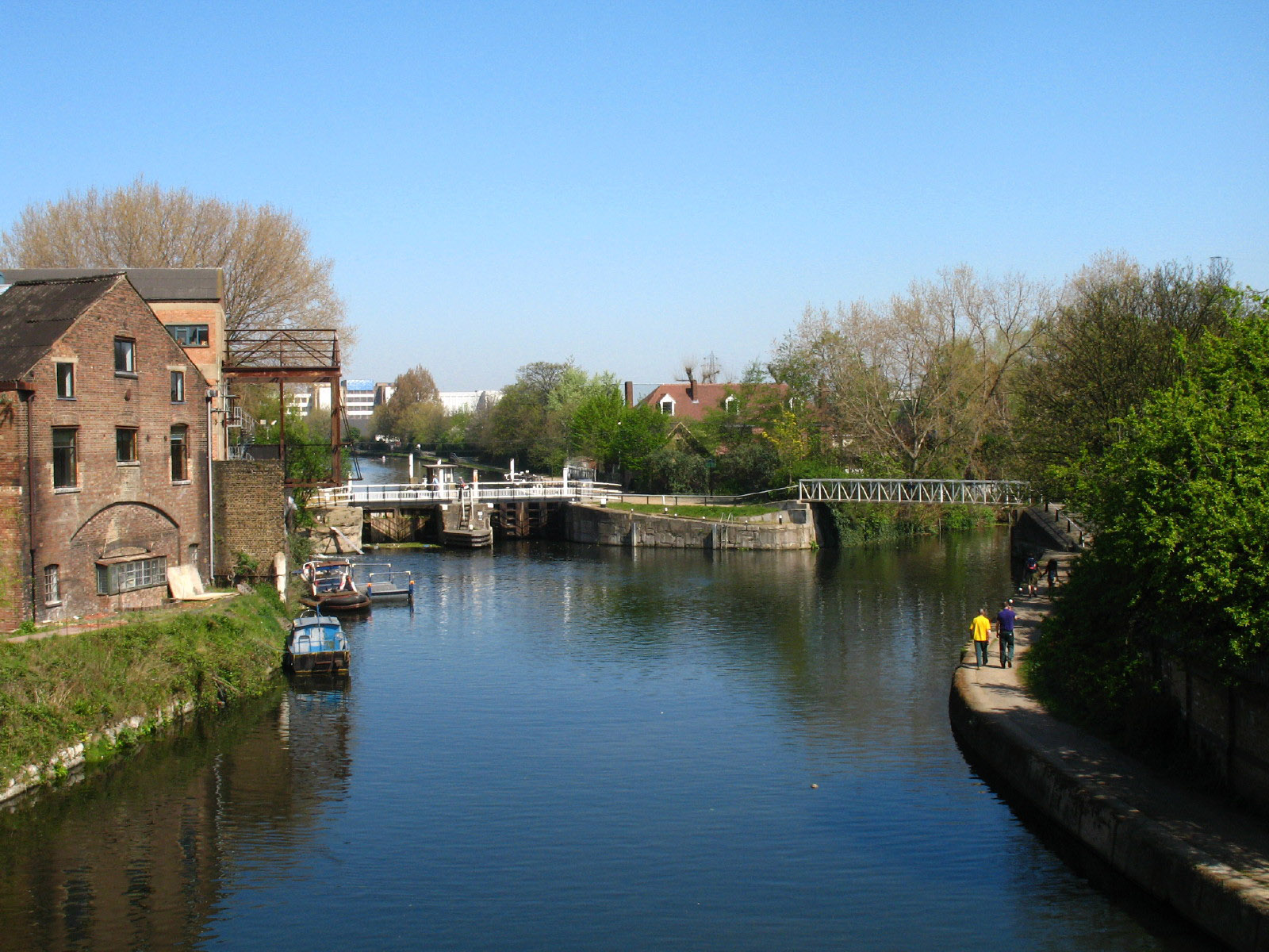
Looking down on Old Ford Locks on the Lee
We now turn east and make our way along the Greenway in earnest.
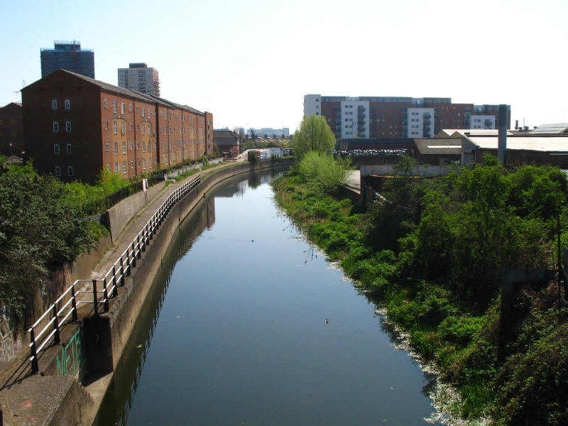
Looking down on City Mill River, one of the Bow Back Rivers that together form
the River Lea in its crossing of Stratford Marsh.
Waterworks River is another route of the River Lea
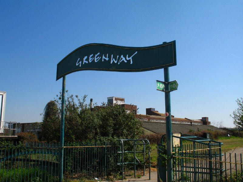
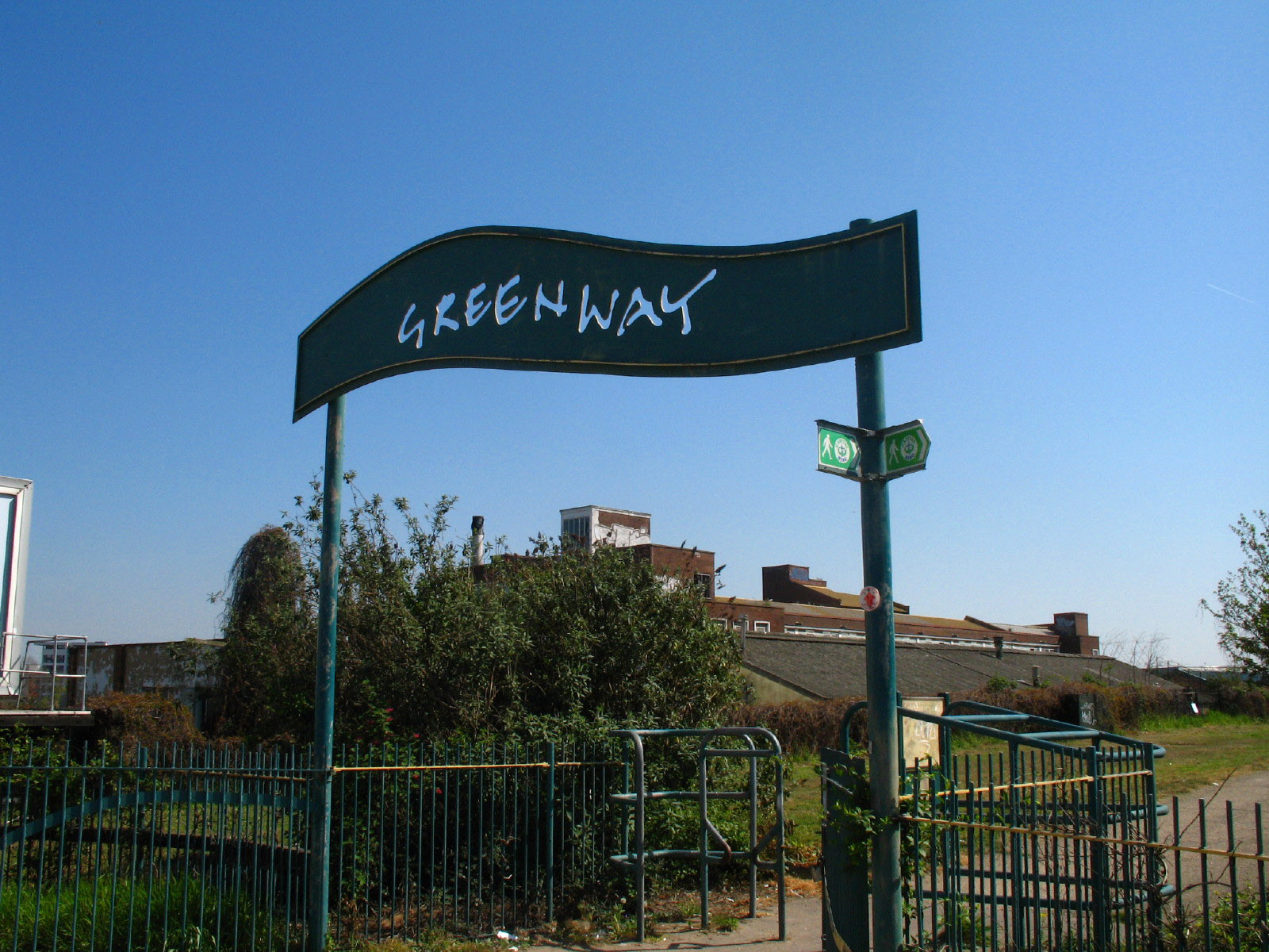
The Greenway has to cross quite a few roads on its course across East London,
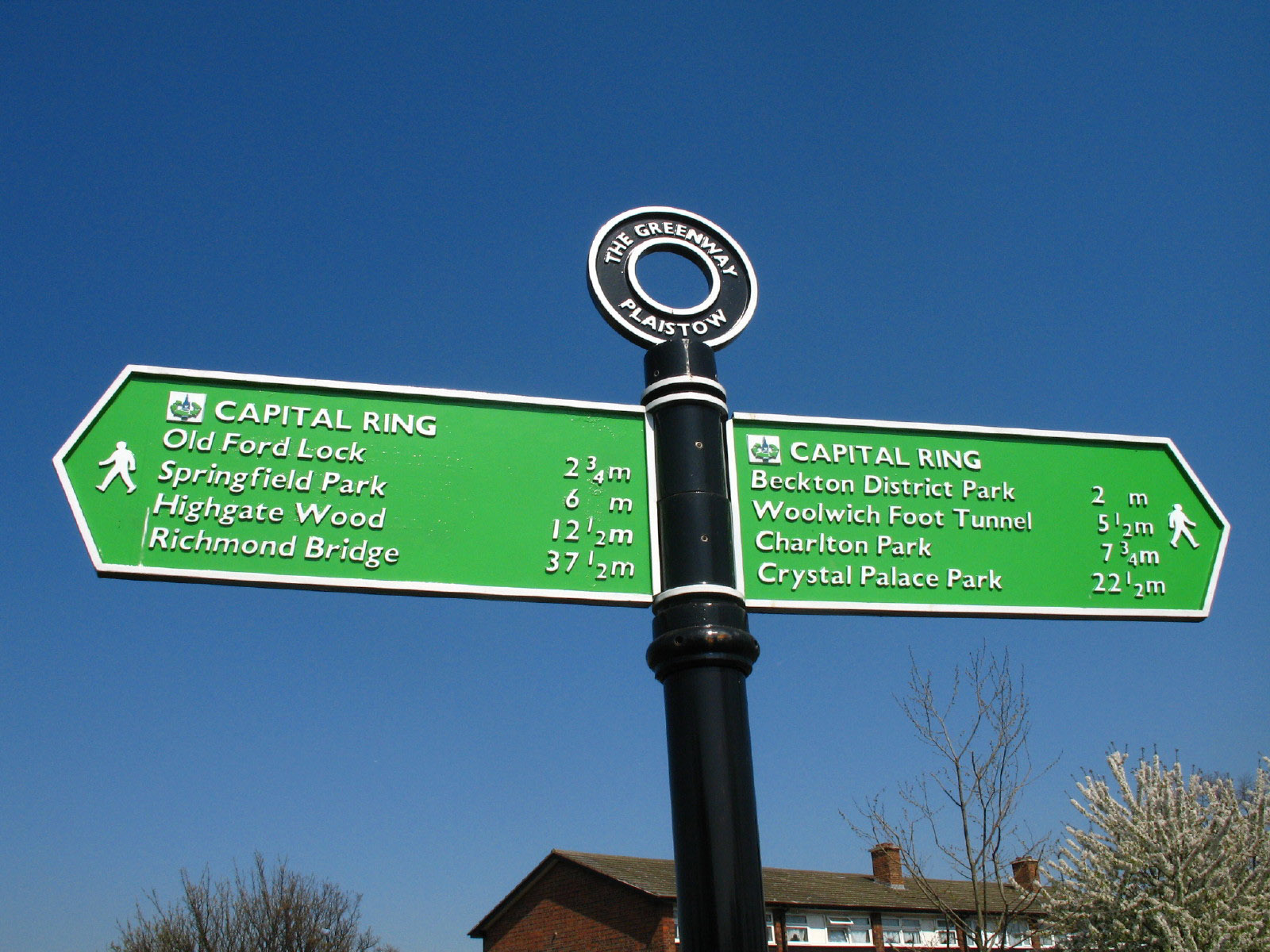
and these gateway signs welcomed us every time we crossed a road, and soon
became very familiar. The Capital Ring signs can be seen below the Greenway
sign, confirming that we are going the right way.

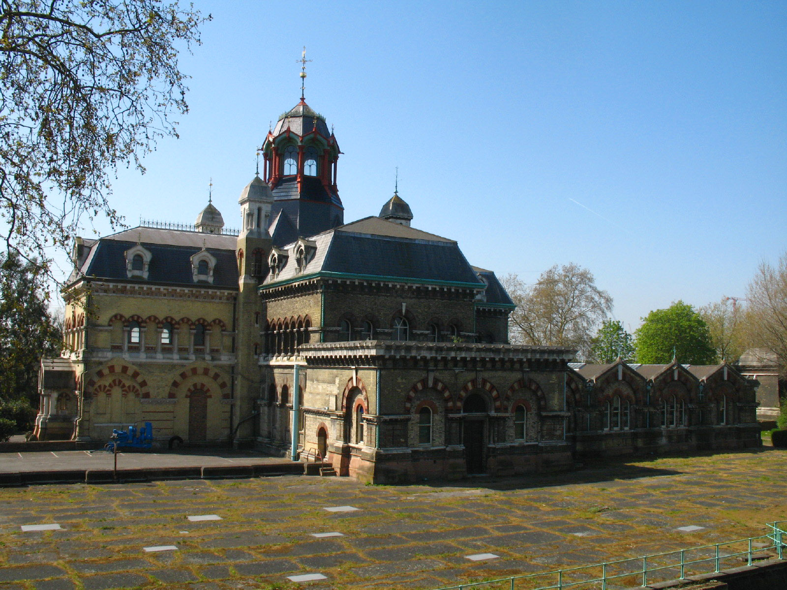
The original Abbey Mills pumping station. This was part of the sewage system,
and was designed by Joseph Bazalgette, Edmund Cooper, and architect Charles
Driver. It was built between 1865 and 1868, and with its elaborate Byzantine
style is sometimes described as The Cathedral of Sewage. It pumps waste from the
lower-level sewers which run to here into the higher level sewer that we have
been walking along, to continue its journey to the treatment plant at Beckton. A
visit to its equivalent on the south side of the Thames,
Crossness Pumping
Station, is planned for later in the year, when its beam engines will be in
steam and its extraordinary interior can be explored.
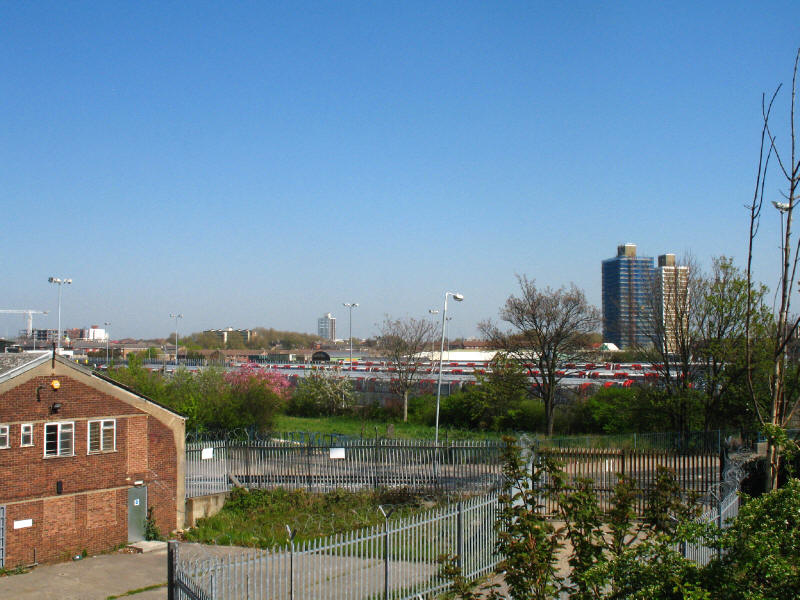
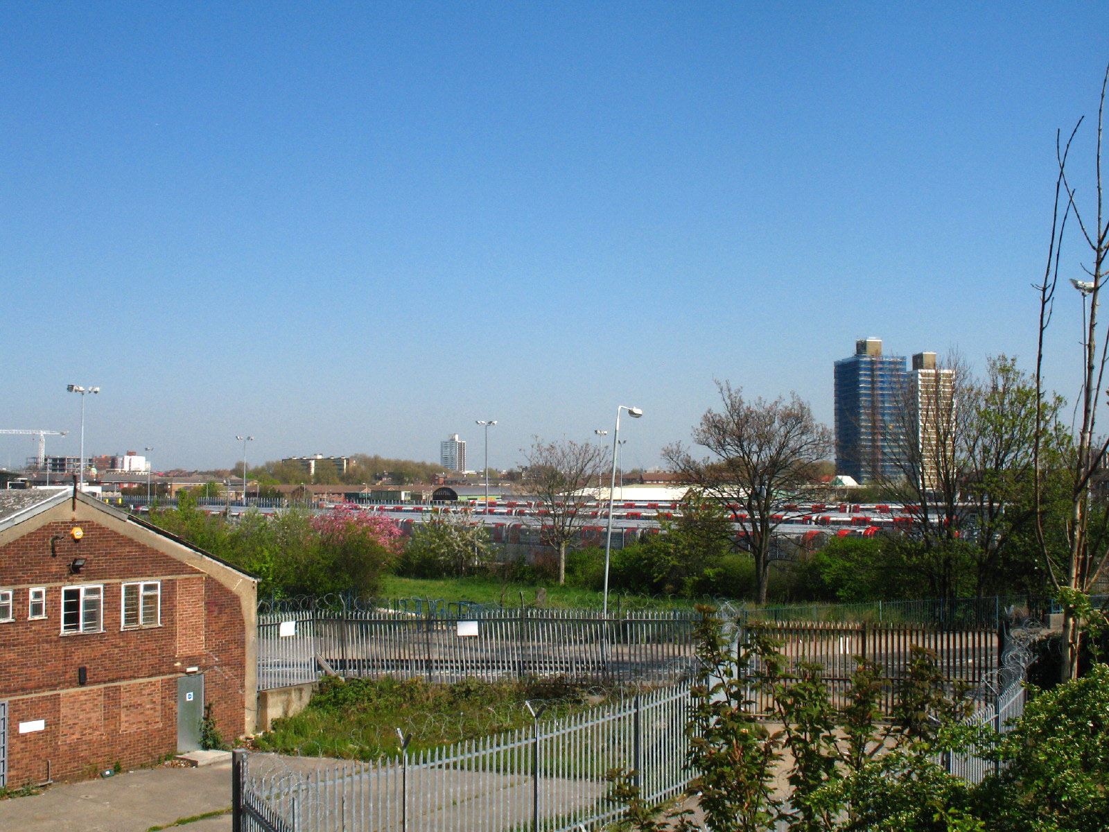
A London Underground train depot shows that we are approaching the route of the
Jubilee Line extension to Stratford
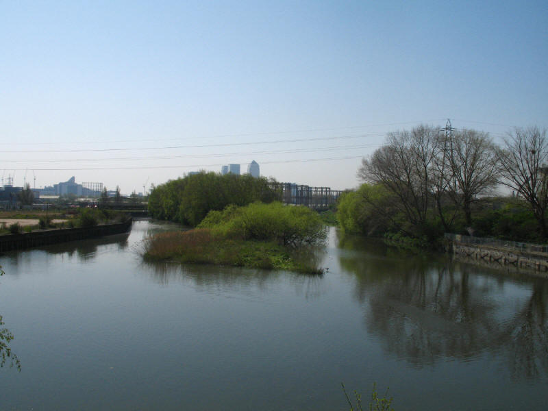
The Channelsea River: with changes to the Bow Back Rivers, this is now just a
tidal inlet off the Prescott Channel near Three Mills Island, and no longer has
water flowing into it from upstream.
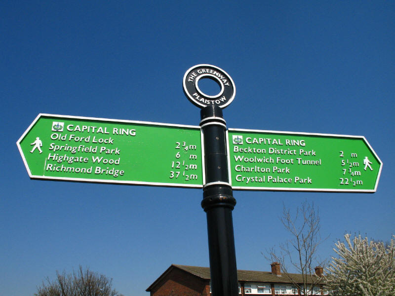
As we continue along the Greenway, a signpost at Plaistow confirms that we have
done 2¾ miles since Old Ford Lock, and suggests that there
are 5½ miles to Woolwich Foot Tunnel. At least one of those figures is wrong, as
the total between the two points is less than 7 miles.

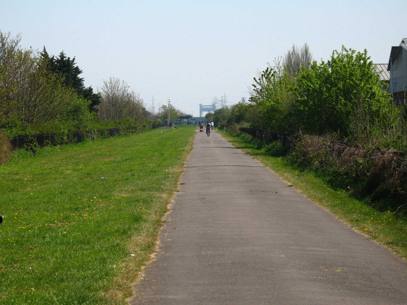
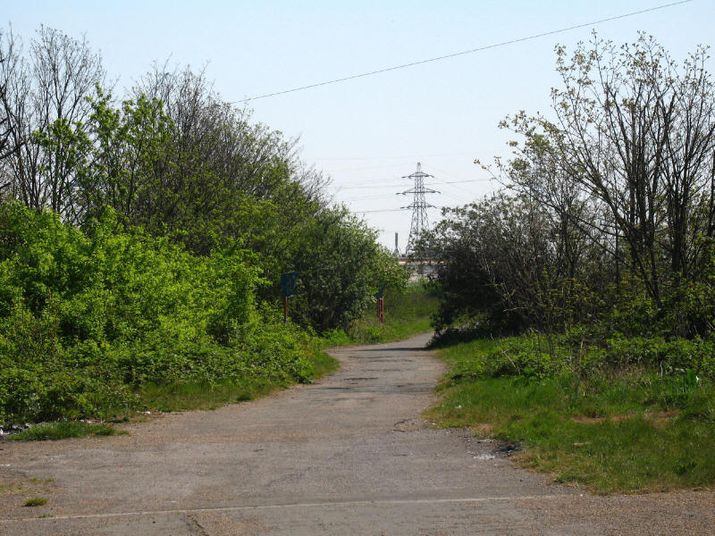
Looking along the Greenway, which is a popular route for families, joggers and
cyclists. In the far distance is the gantry of the Barking Creek flood barrier.
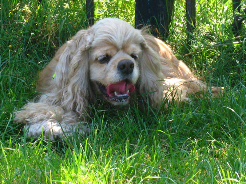
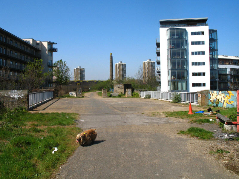
It was the hottest day of the year so far, with temperatures peaking at 27°C,
and the Greenway, while well provided with grass, was very exposed to the sun,
and George sought every patch of shade there was.
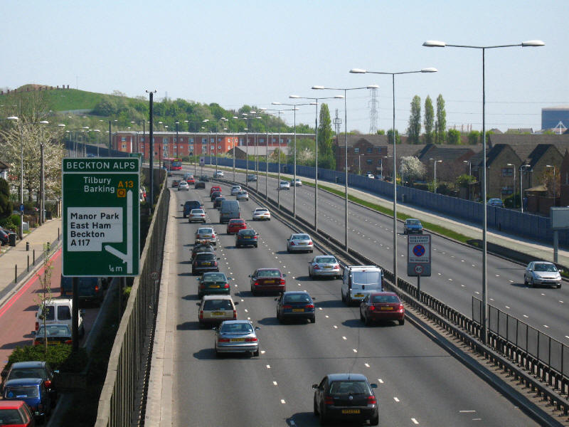
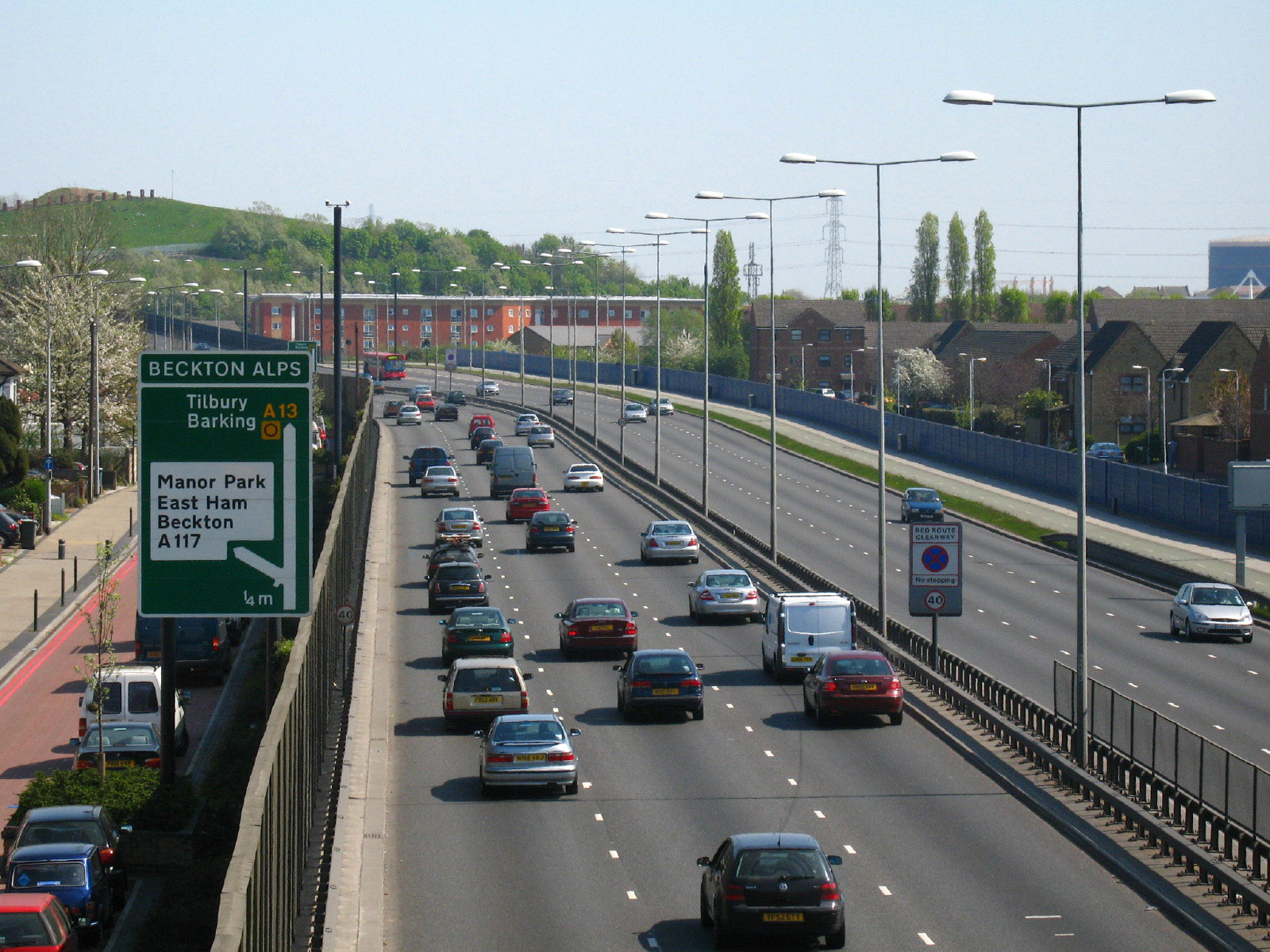
We then leave the Greenway and head south, crossing the A13 near Beckton Alps -
the "Alp" can be seen in the background, and is the grassed-over spoil heap left
from the coke processing at Beckton Gasworks: until 2001 the slope was used for
a ski-slope, but that was lost when the A13 was widened. The Alp boasts the
title of highest man-made hill in London.

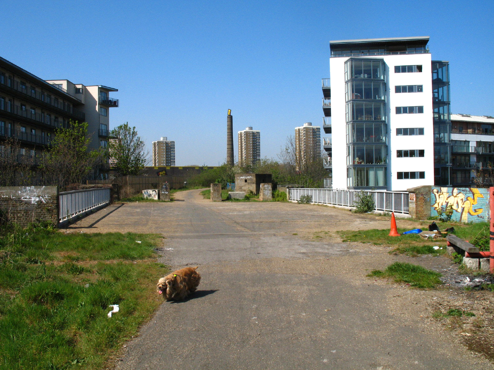
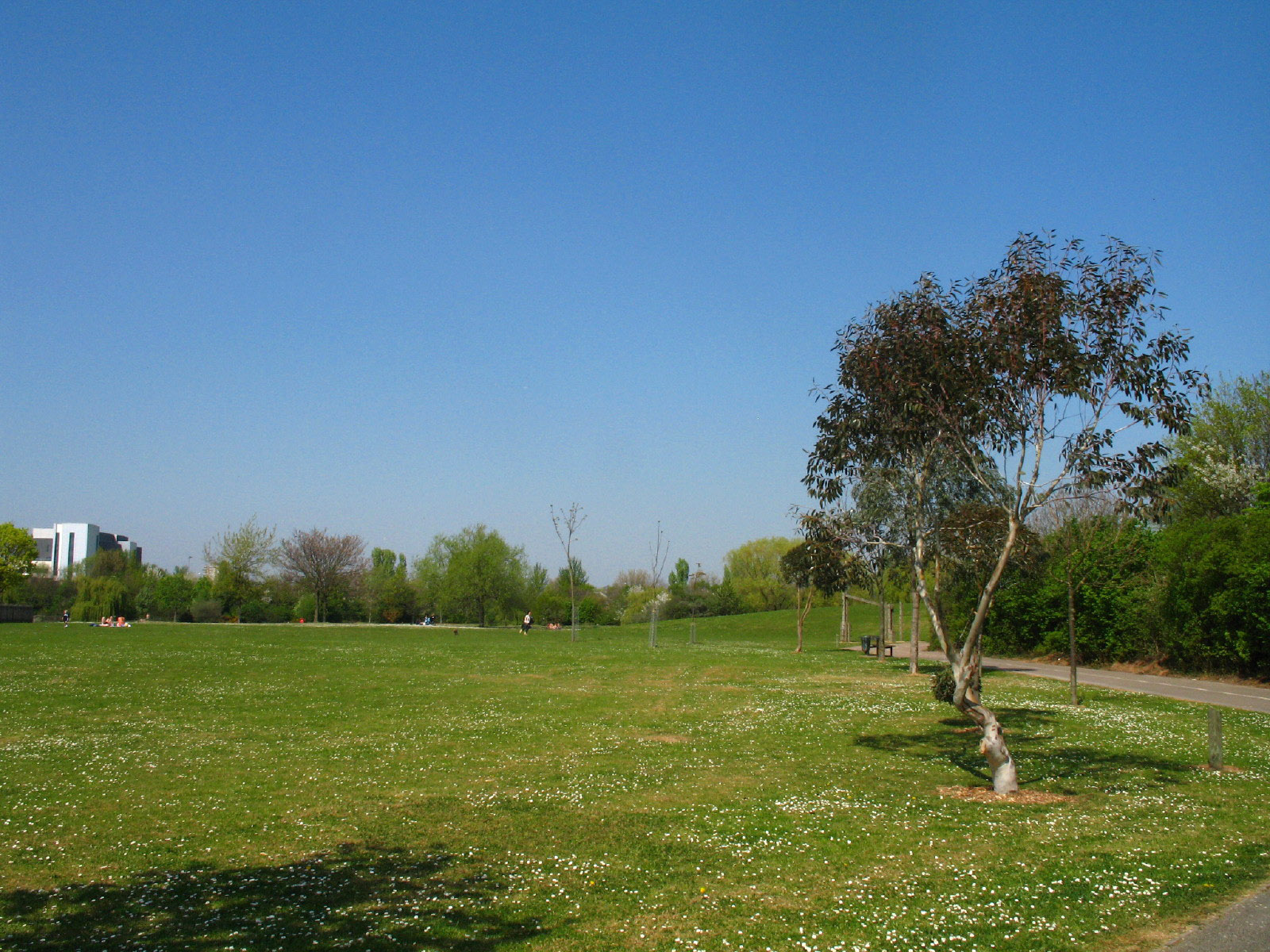
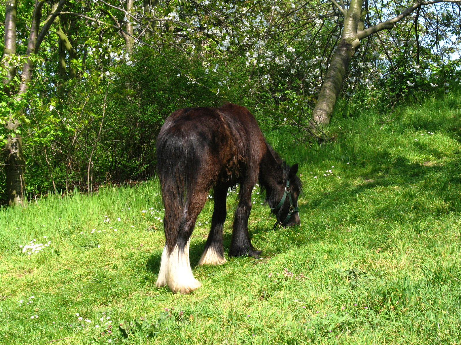
We now cross Beckton District Park
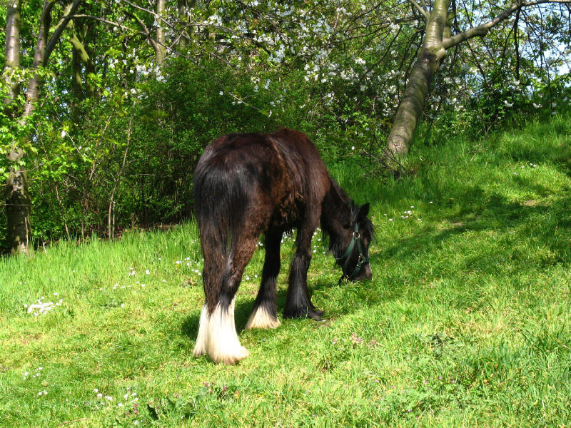
Surprisingly, this urban park was home to quite a few horses grazing.

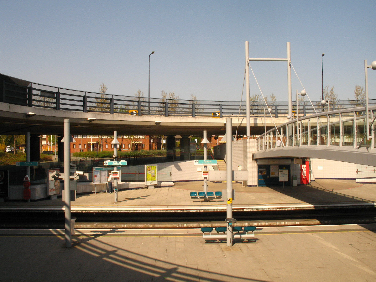
Emerging from the park, we reach the intriguingly named Cyprus station on the
Docklands Light Railway. The idea of being able to travel to Cyprus by train has
always amused me in a low-key way, and here it is at last. Not quite as
thrilling as its namesake, though. Cyprus station is named after the nearby
Victorian estate of Cyprus, itself named in honour of the British colonisation
of the island in 1878.
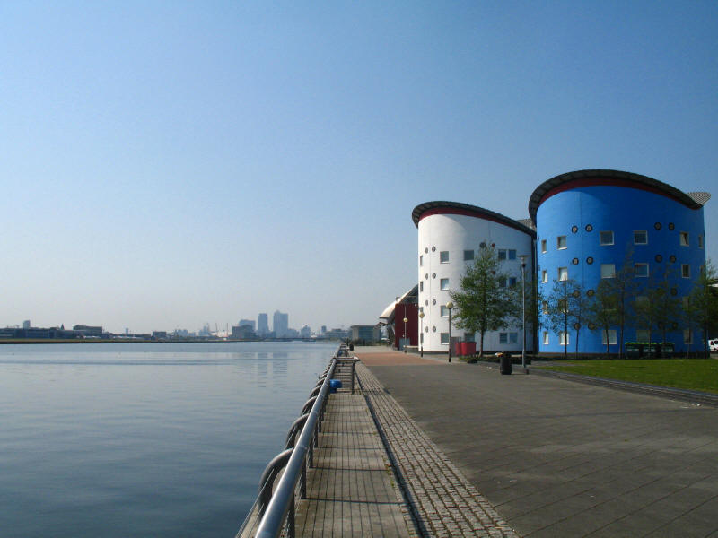
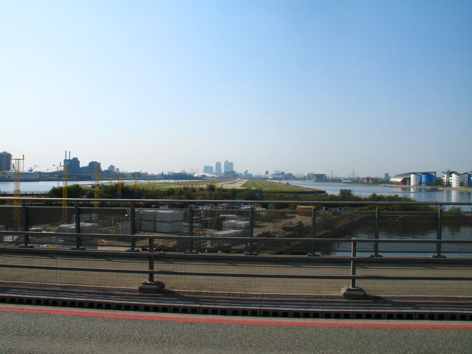
A short diversion from Cyprus station brings us to the edge of the Royal Albert
Dock. This, one of the three Royal Docks, closed in 1982, and is now used for
watersports. On the right can be seen some of the student accommodation at the
University of East London. In the distance can be seen the skyscrapers of Canary
Wharf, with part of the Millennium Dome to be seen to their left. Aeroplanes at
City Airport can just be seen at the far end of the runway.
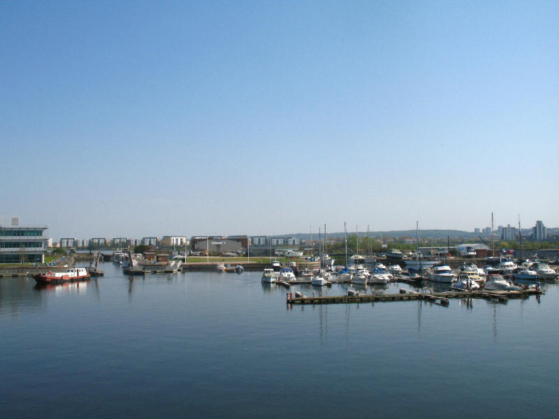
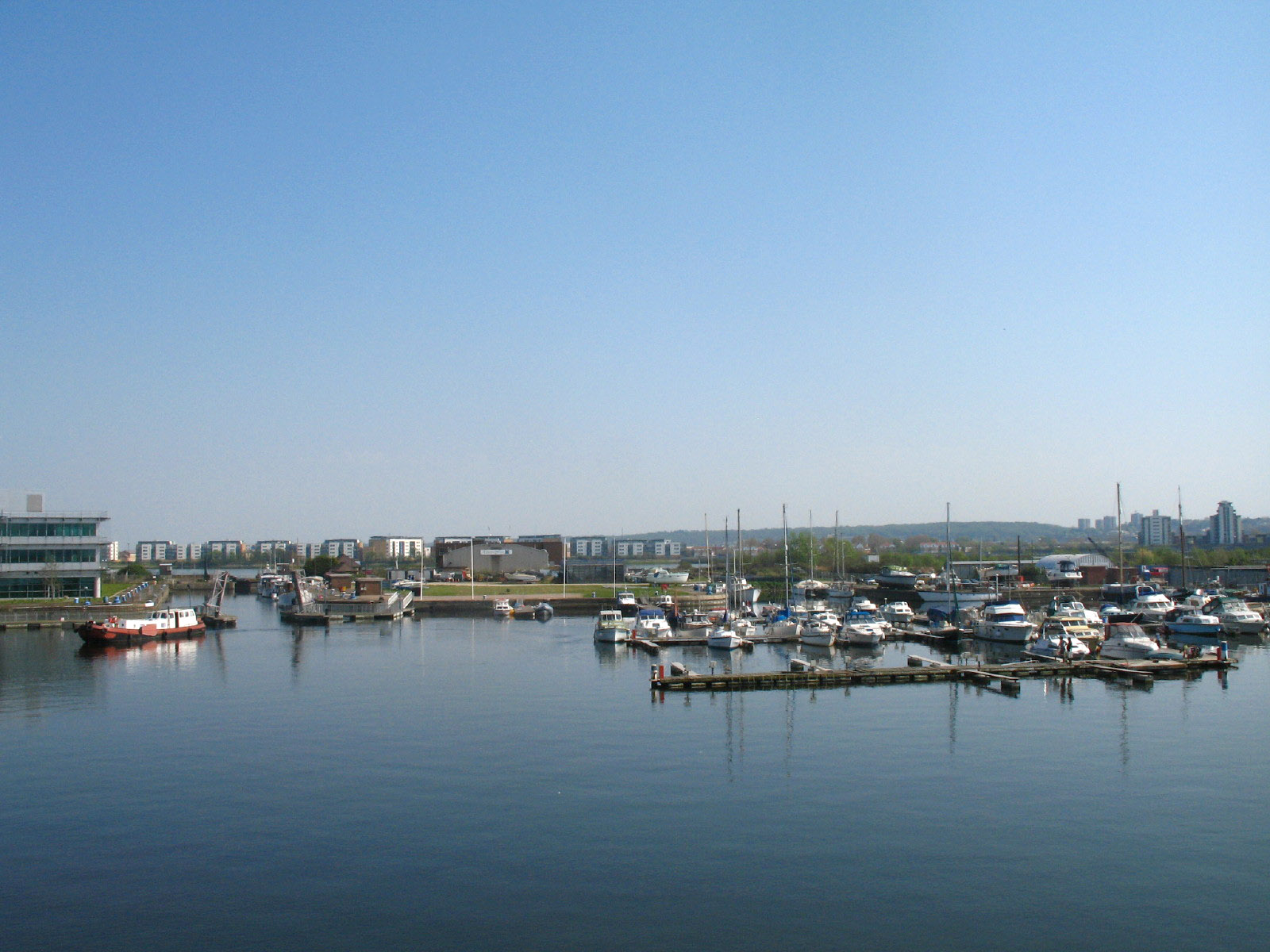
From Sir Stephen Redgrave Bridge, we look down on Gallions Point Marina. Towards
the left of the picture, the
tiny entrance lock can just be seen with its black gates, at the far end of the huge original
entrance lock, which took vessels up to 240 by 30 metres.
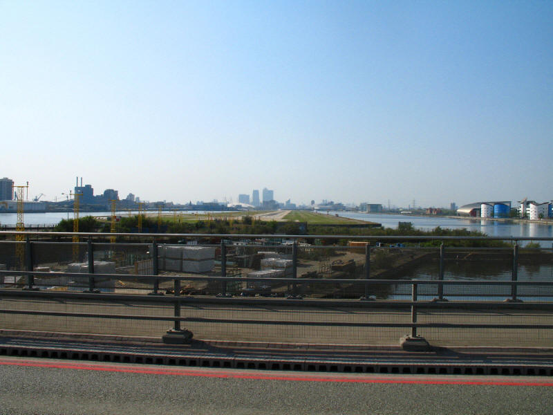
In the other direction, a view along City Airport's runway, with Royal Albert
Dock and the University of East London on the right, and King George V Dock on
the left.
We then reach the Thames at Gallions Point, nine nautical miles below London
Bridge, and the remainder of the walk is along the river wall. We look up
Gallions Reach, named after the Galyons family who owned property on the
shoreline in the 14th century.
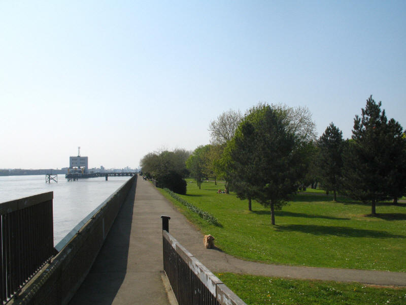
Looking along the river wall with Royal Victoria Gardens on the right (at
approximately the same level as the river), and the Thames on the left with the
north pier of the Woolwich Free Ferry.
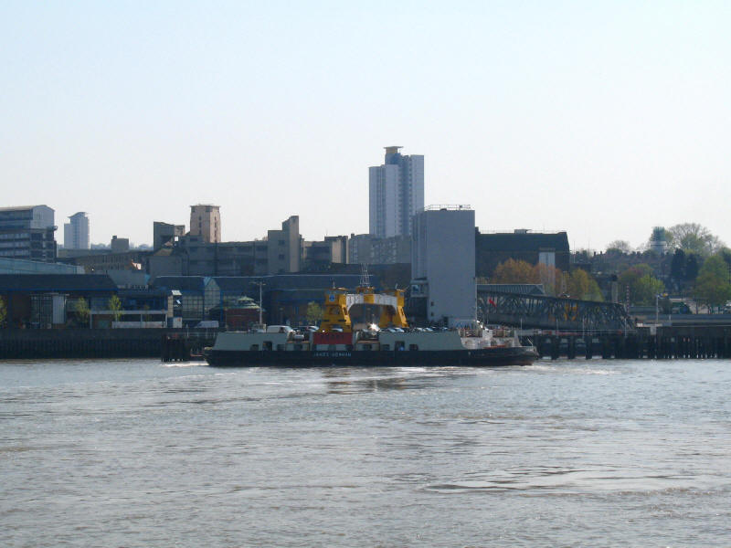
Heading for the south pier is one of the three Woolwich ferries, James Newman,
named after the mayor of Woolwich from 1923 to 1925. With plans advancing for
construction of the Thames Gateway Bridge, the ferry is likely to close by 2013.
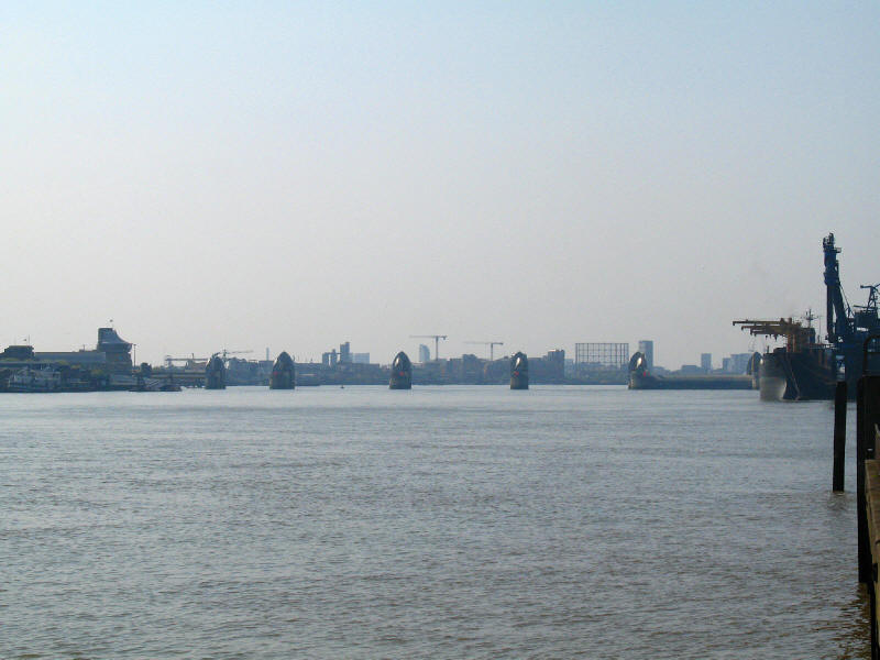
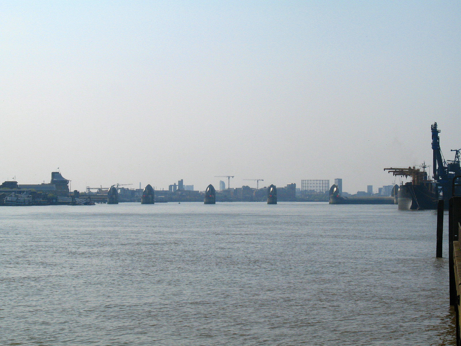
As we reach the end of today's walk by the Woolwich Free Ferry, a look upstream to
the Thames Flood Barrier, with one of its gates raised.
Zoom in for more detail, or see map in larger window: Ordnance Survey |
Open Street Map |
Google Maps
Total distance: 11.7km in 3 hours 10 minutes (2 hours 25 minutes of which was moving, according to the GPS).
|