Gipping River Path 1: Stowmarket to Broomfield Pit
19 March 2011
The River Gipping flows from
near Mendlesham Green
to Ipswich, where it becomes the Orwell. Between 1790 and 1793 it was
made navigable between Stowmarket and Ipswich as the Ipswich and
Stowmarket Navigation, and though the navigation fell out of use in the
early 20th century, the former towpath is available for walkers. Today
we walked downstream from Stowmarket, continuing on from the route of
the Mid-Suffolk
Footpath.
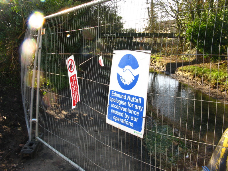
The very first section of the Gipping River Path was closed due to
construction works, so we walked round and joined it at the next bridge
- you can see
the bit we missed in a later walk finishing the Mid-Suffolk Footpath.
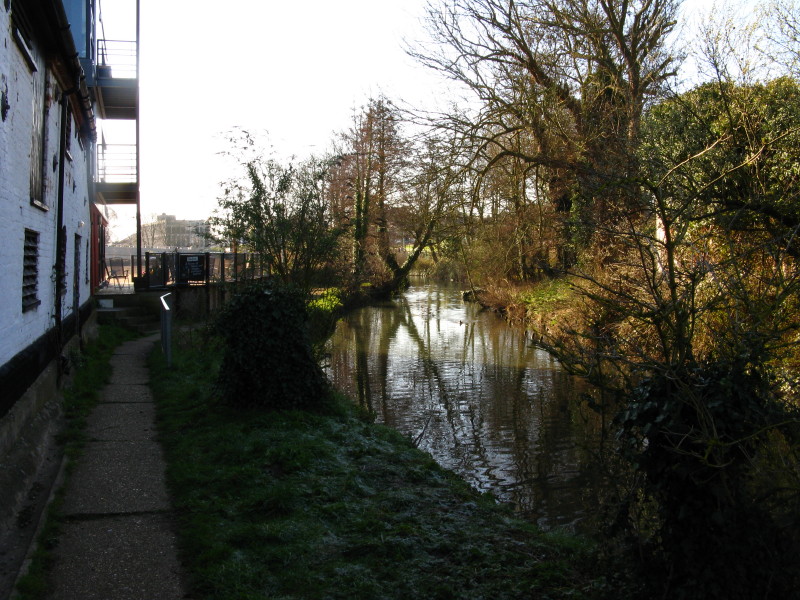
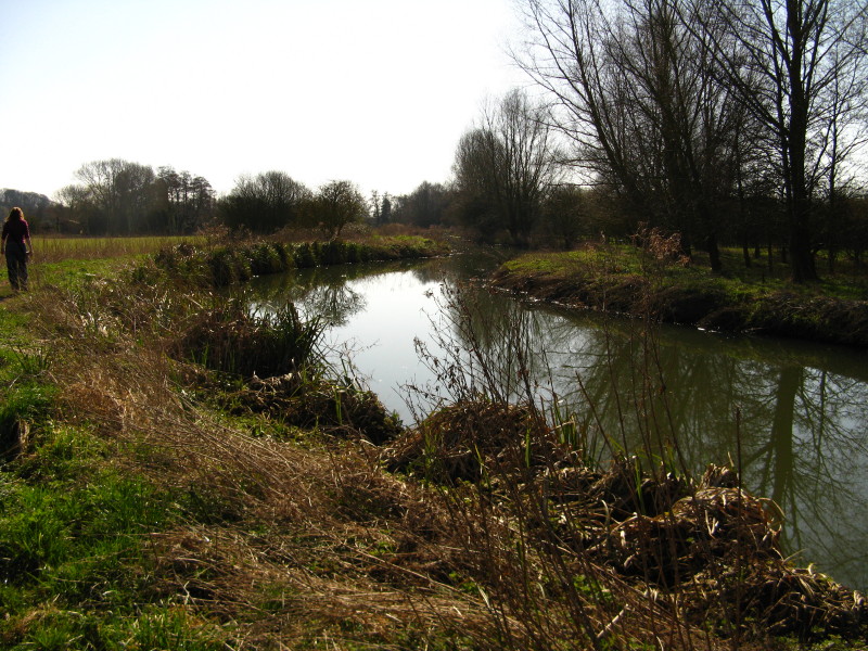
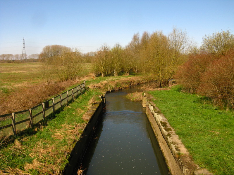
So having descended from the road bridge across the Gipping, this is our
first view of the river.
A short distance later, and the plan is in need of some adjustment
already.
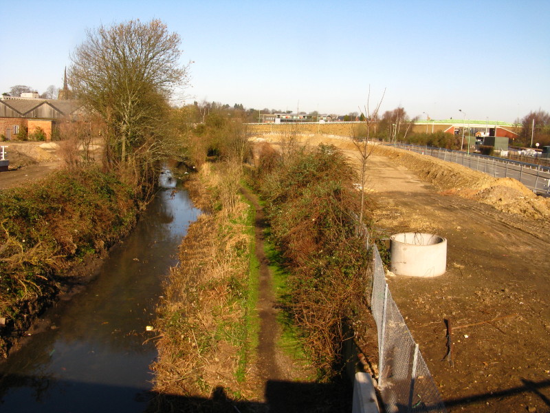
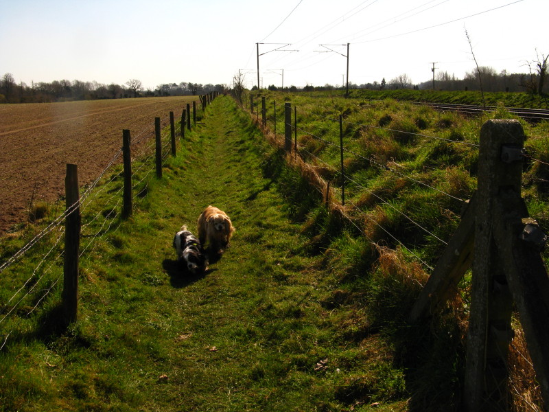
So instead of walking along the towpath which is entirely unblocked and
usable, we traipsed through the building site alongside, then along the
relief road, before returning to the towpath a little later.
Stowmarket retains a fair amount of industry, catalysed presumably by
first the navigation and then the railway which runs up the valley.
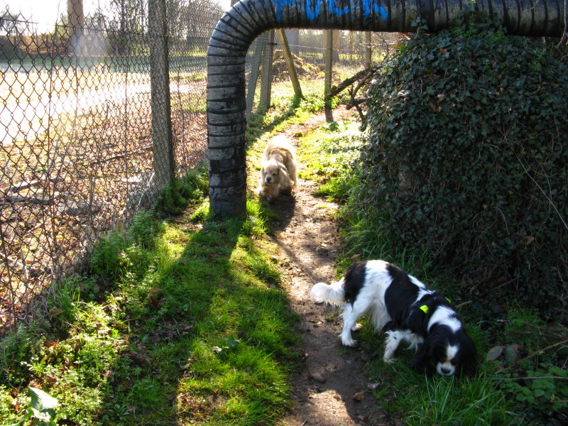
This photo is rather uninteresting until you use George and Ellie to
estimate the height of the pipe, which gives headroom of not much more
than a metre.
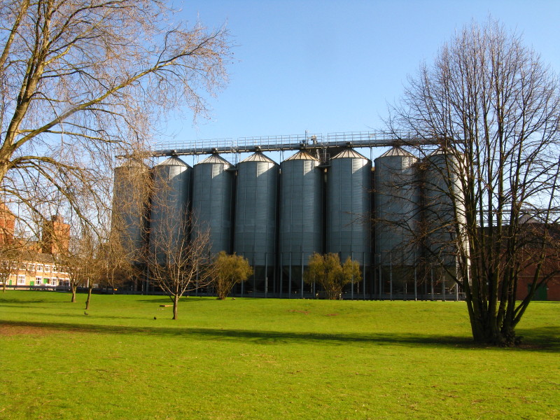
Muntons maltings
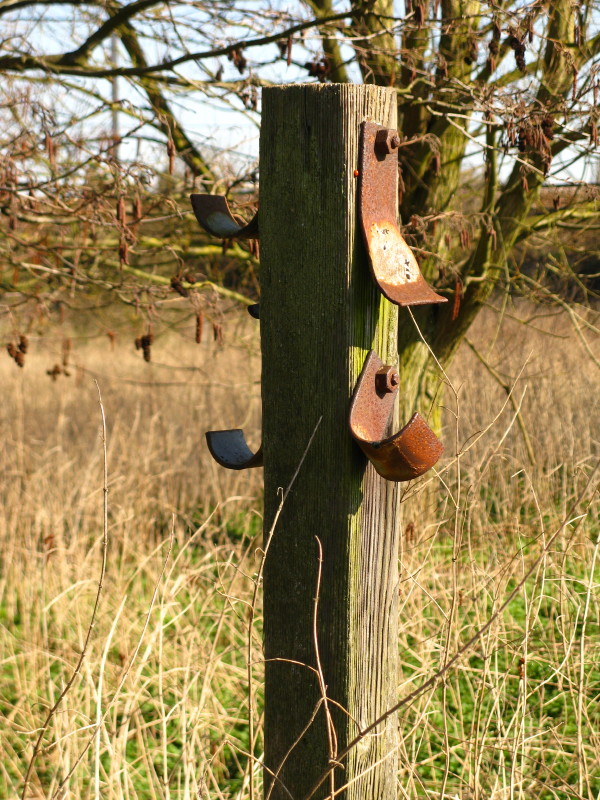
Presumably cables were once slung on this post
We finally begin to pull clear of Stowmarket's industry, behind us once
we're under the railway
Some of the remains of Badley Mill Lock, with trees growing out of its
sloping lock sides.
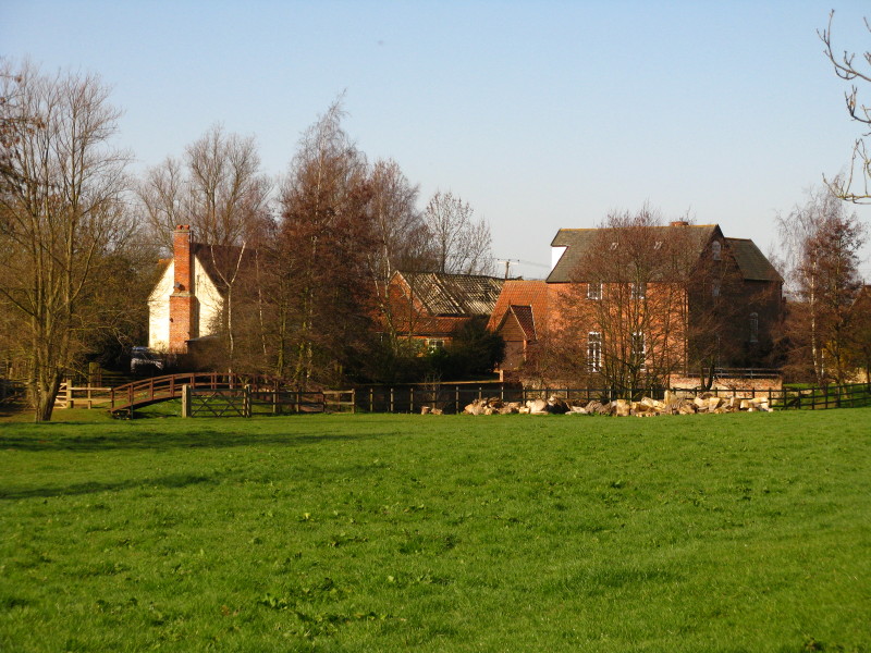
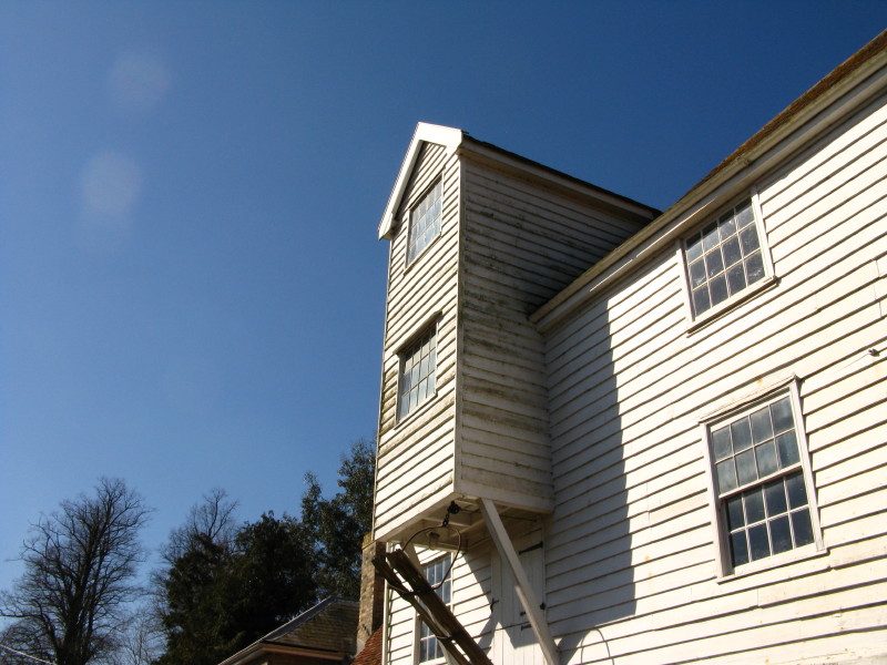
Badley Mill
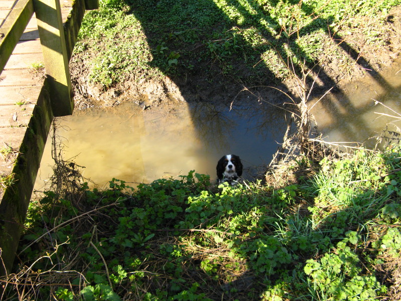
A rather worried Ellie, having somehow got herself into this side-stream
behind my back. I don't know whether she tried to cross the stream
without using the bridge or slid down the steep bank on this side, but
although she was safely standing on the bottom, she couldn't get out on
this side, and didn't seem to have tried getting out the other side
until I encouraged her to do so.
A board-walk carries us safely over some damp ground, with Ellie none
the worse for her exploration of the stream.
Getting closer to Needham Market, and the day is warming up.
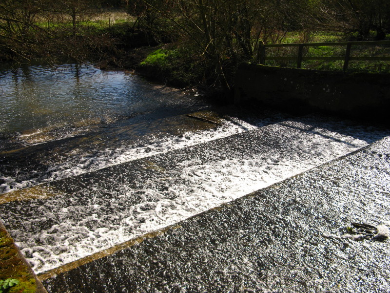
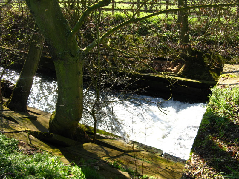
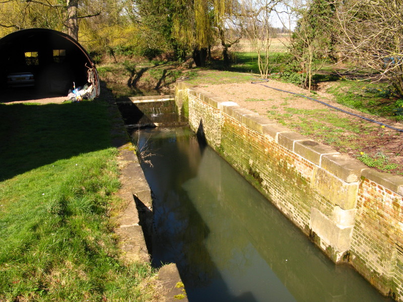
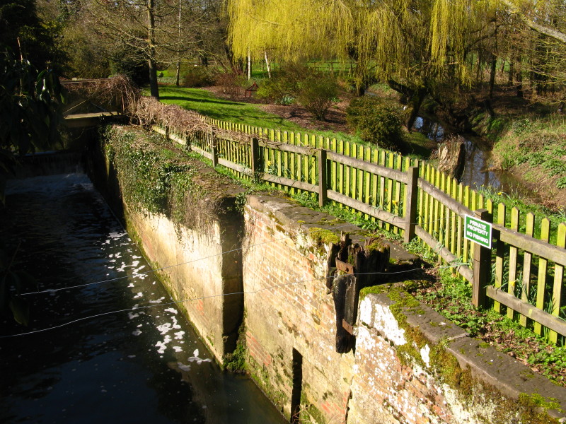
A weir above Hawks Mill Lock
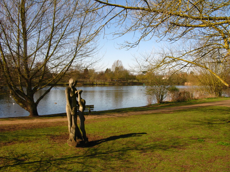
Needham Lakes, formed from a gravel pit, a rightly popular spot for
families and dog-walkers
Bosmere Lock and mill from the Coddenham Road bridge
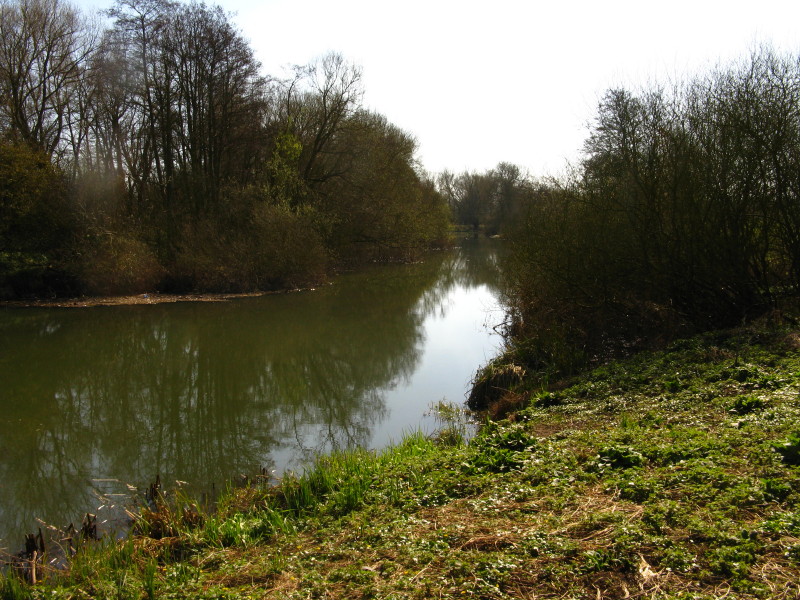
On the other side of the road are more gravel pits, these seemingly
devoted to private fishing
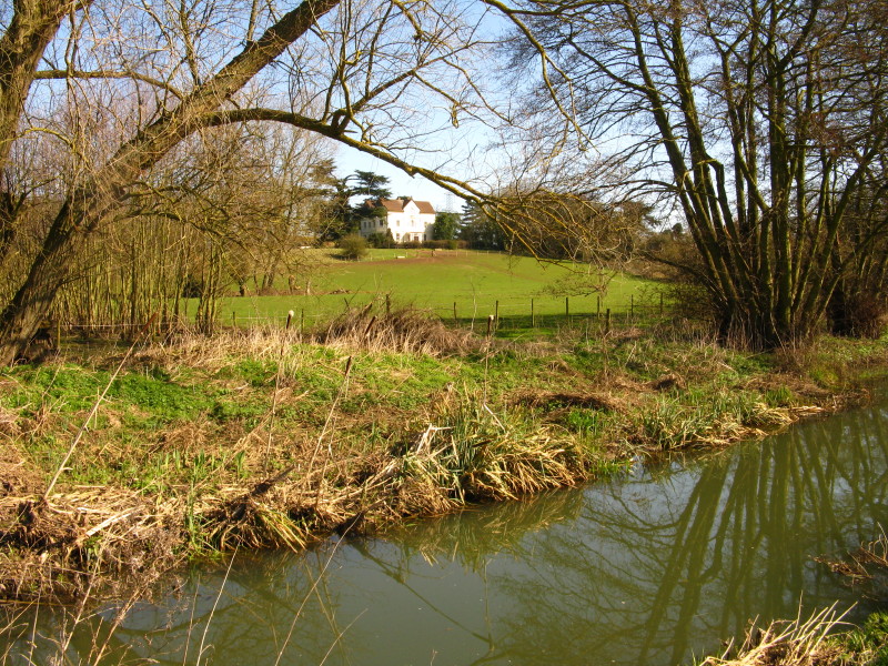
Bosmere Hall, built by the botanist Robert Uvedale
What the sign alongside it calls Riverside Farm Lock, though is
elsewhere named Creeting Lock
Pipps Ford Lock
The path then turns away from the river for a few hundred metres,
running alongside the railway
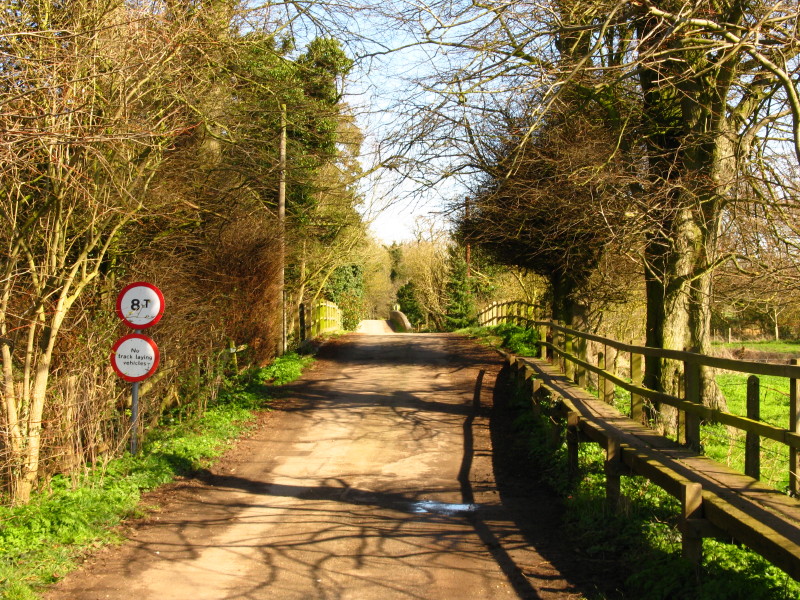
Before a quiet lane (on which track-laying vehicles are prohibited)
leads us back to the river
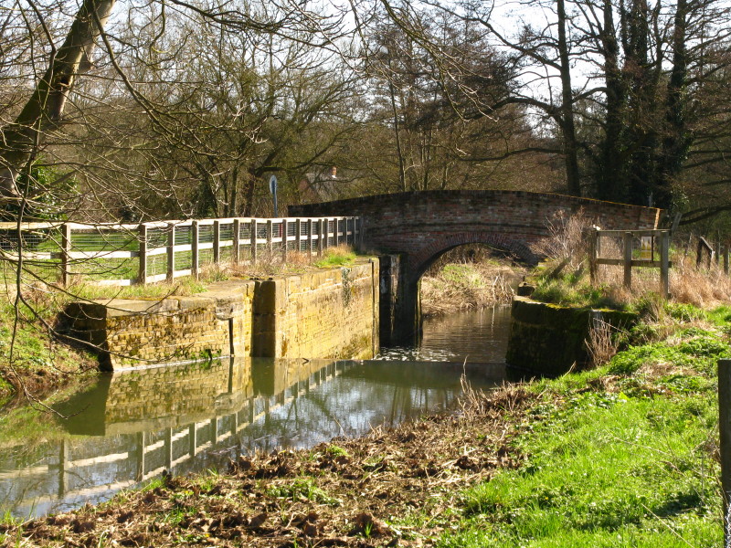
...where we find Baylham Lock
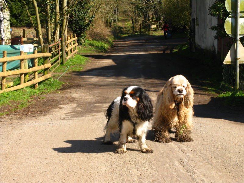
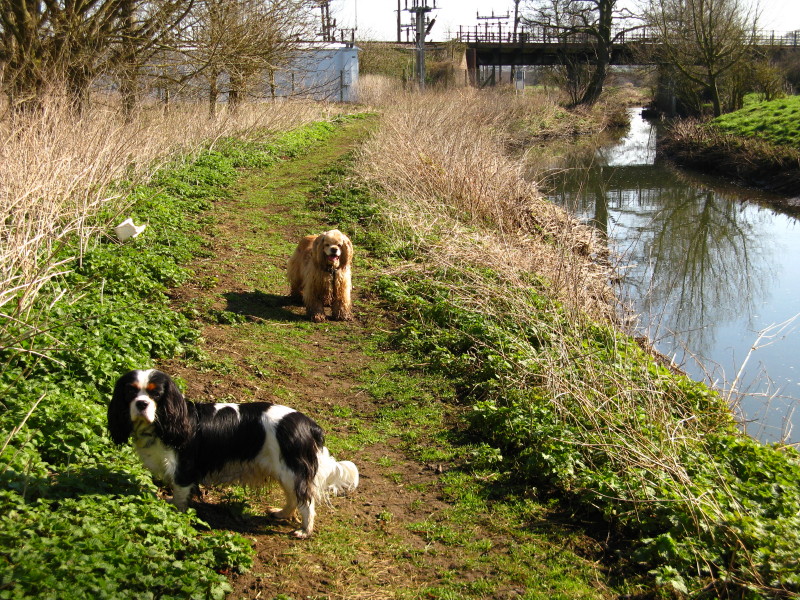
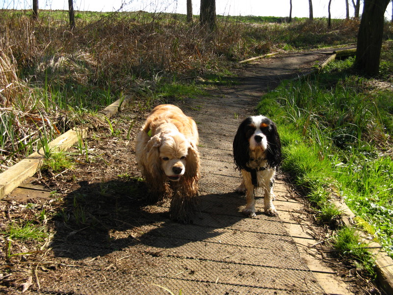
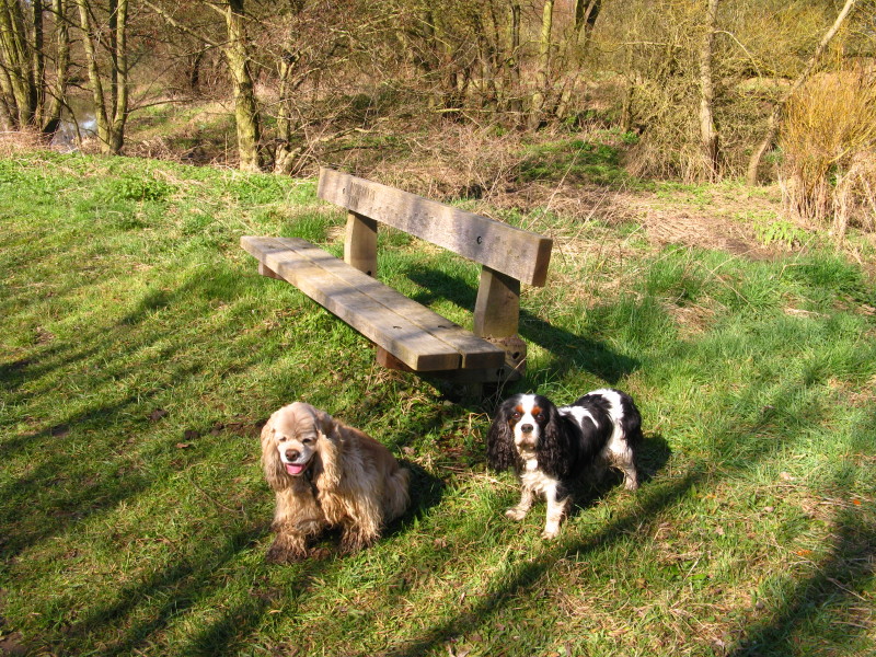
Two slightly grubby dogs
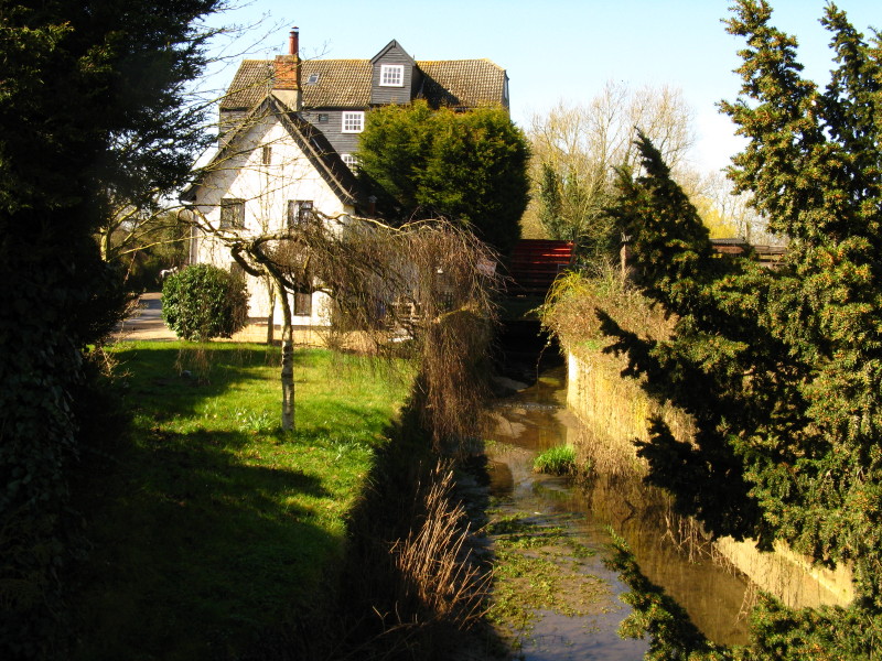
Baylham Mill
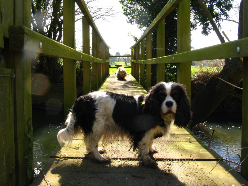
Be careful Ellie - you know what happened at the last bridge over a
side-stream!
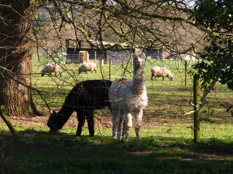
Llamas at the rare breeds farm on the other side of the river
The river slows its pace here, and speads out a bit as it nears
middle-age
Blakenham Lock, the point at which we turn away from the river and walk
to the picnic site where Lucy and Hetty have come to meet us.
Zoom in for more detail, or see map in larger window: Ordnance Survey |
Open Street Map |
Google Maps
Total 15.1 km in 3 hours 42 mins.
Continue on to the next Gipping River Path walk...
|