London Loop Walk 9:
Hamsey Green to Coulsdon
28 May 2006
Today I did the ninth of my London Loop walks, this time with Henry for company. The intention had been to walk
to Banstead, but on arriving at Banstead station to leave the car and get the
train to West Croydon and then a bus to Hamsey Green, I was informed that there
were "no trains on Sunday. Never have been." This was something of a surprise to
me, and obviously to Transport for London's Journeyplanner, which had advised me
to catch the 1138 Southern Railway service to West Croydon. I even had it
printed out with me, so I hadn't made a mistake.
Faced with the prospect of three buses to Hamsey Green, I decided to curtail the
walk, and drove on to Coulsdon from where it was only two buses to Hamsey Green.
However, the first one refused to take Henry, so it was 1.20pm by the time we
got to Hamsey Green. However, it was a delightful day, and I was glad I had
postponed the walk from yesterday, when it had been overcast and then rainy.
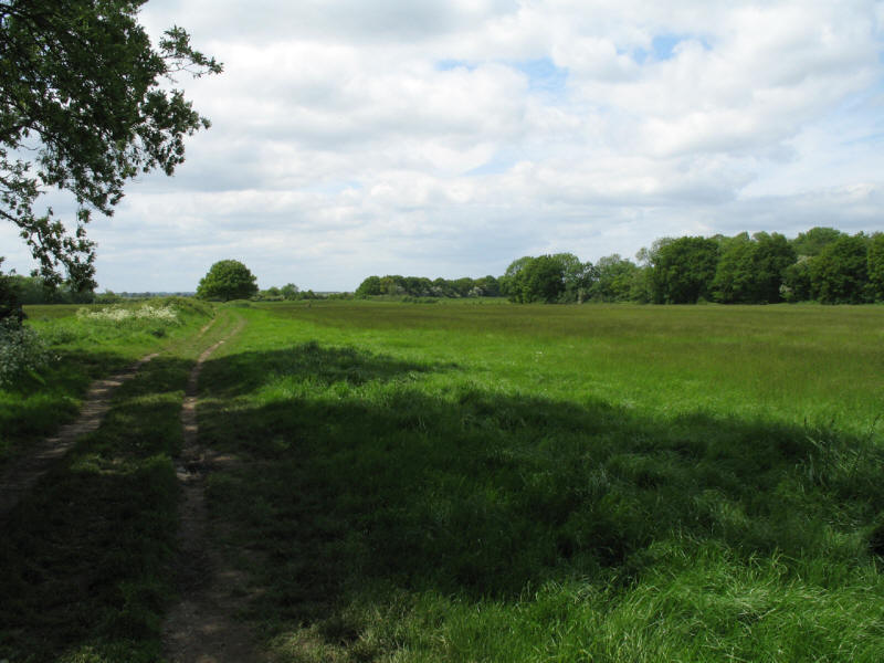
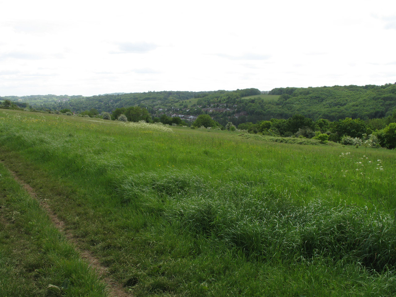
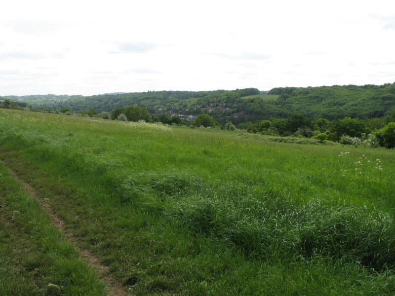
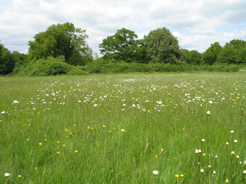
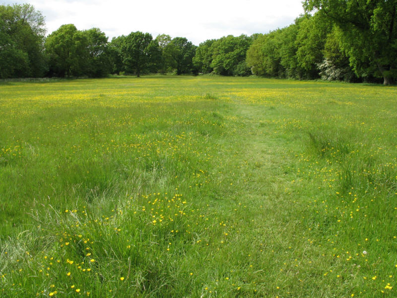
After a short walk along Tithe Pit Shaw Lane out of Hamsey Green, we reach this
large swathe of open country, meadow and downland, which was to be typical of
the whole walk this afternoon, right on the edge of London.
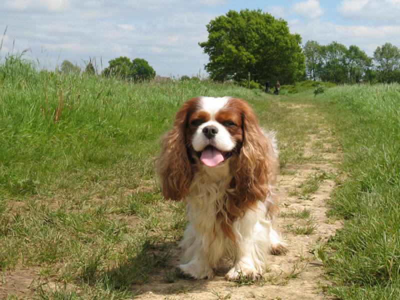
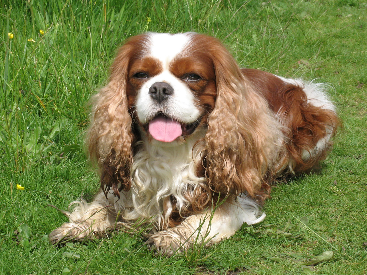
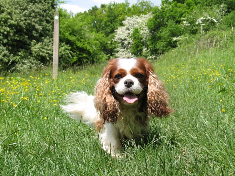
Henry glad to be off the buses and free to run at last.
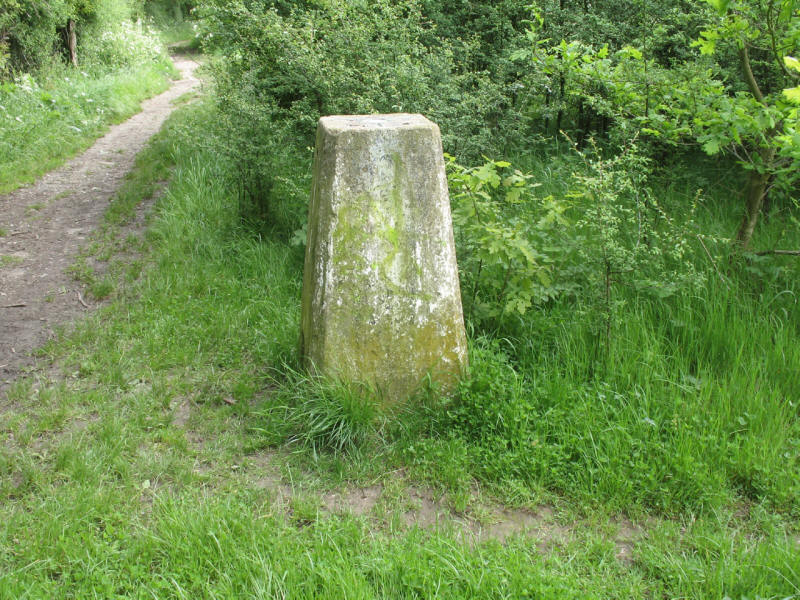
A trig point at 160 metres above sea level - in fact, the only trig point passed
on the whole LOOP.
From the top of the ridge, a look across the valley of Whyteleafe which we are
about to cross. It looks so peaceful, but there are two railway lines, a busy
main road, housing and light industry down there.
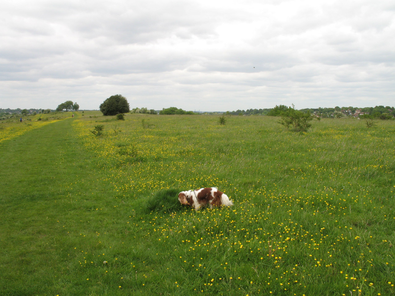
Henry enjoying the wild flowers as we make our way down onto Riddlesdown Road

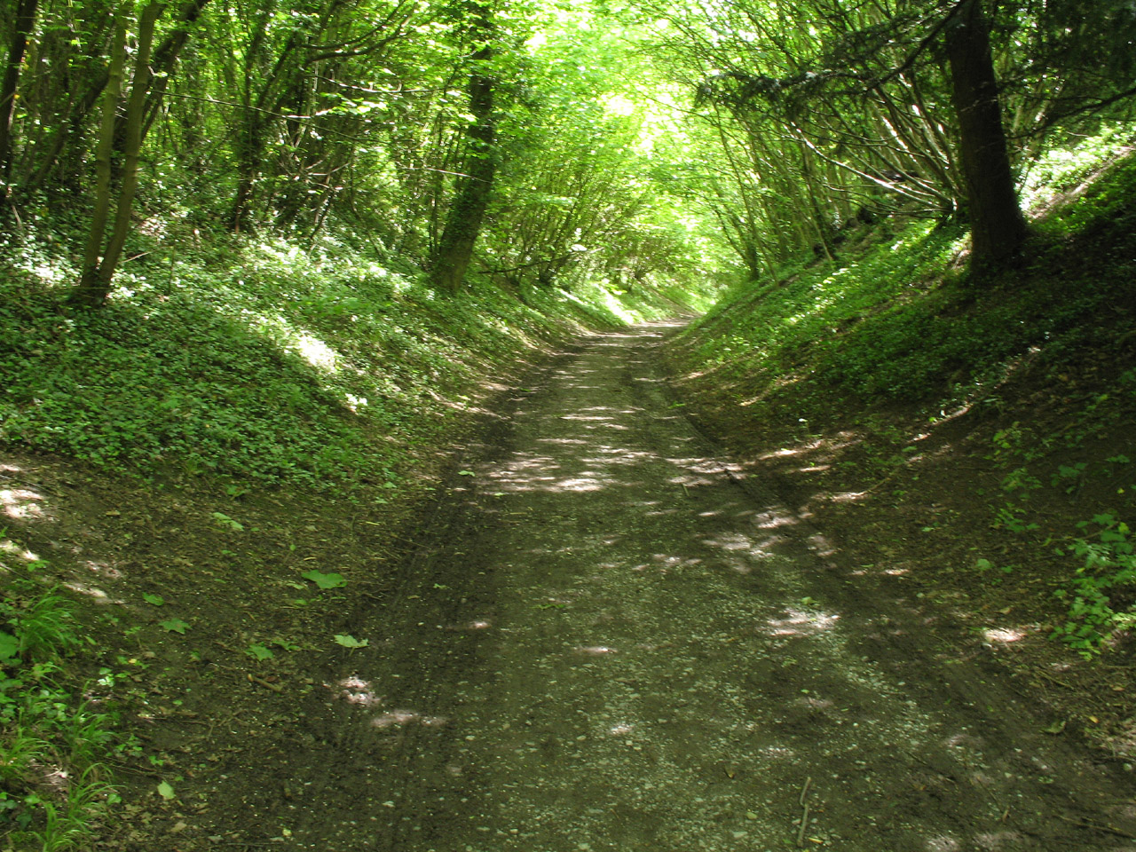
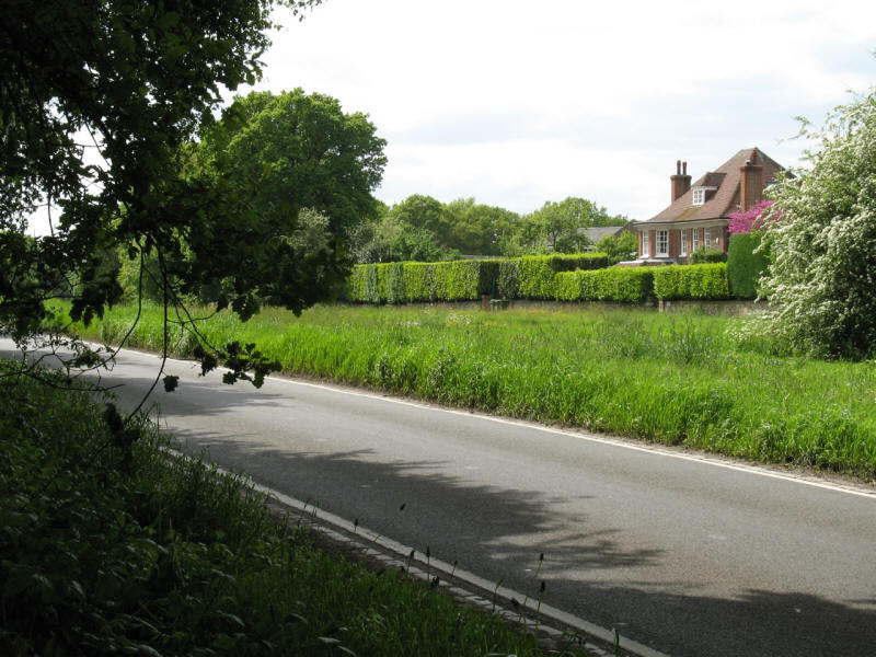
Riddlesdown Road, now a pleasant track, was once the main road from London to
Brighton, which took the route of an old Roman road.

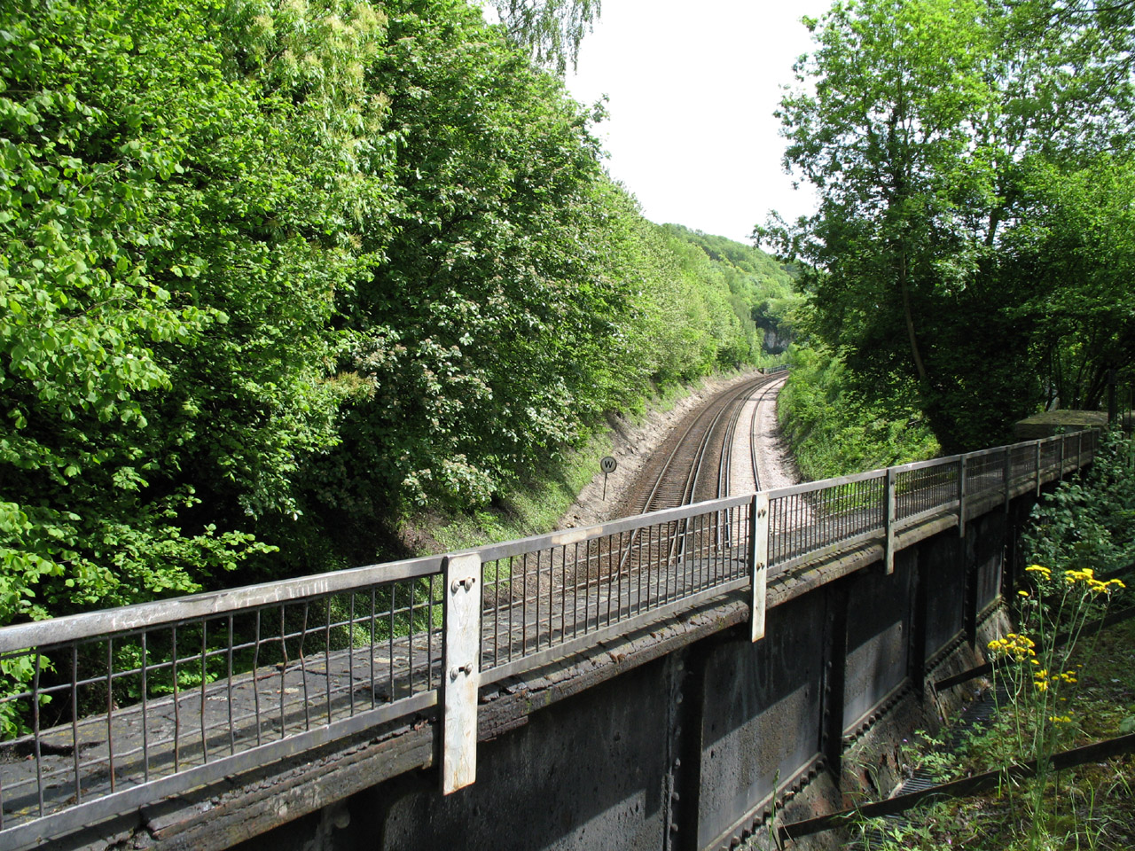
Riddlesdown Road crosses the Croydon, Oxted and East Grinstead Railway (better
known as the Oxted Line).
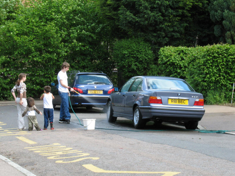
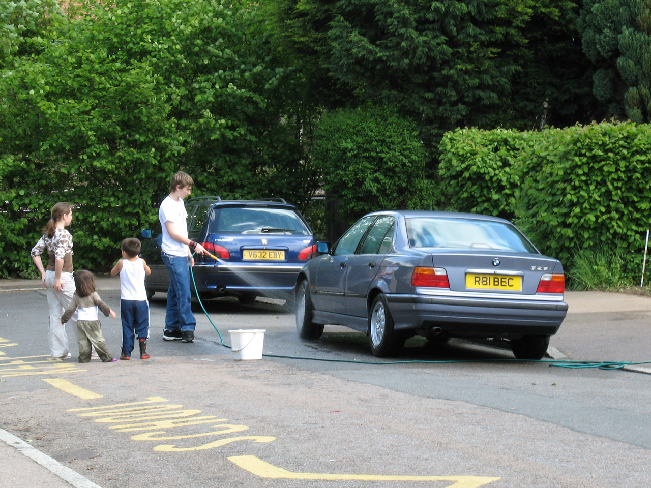
After crossing the A22 (making more progress round the clockface road numbering)
we cross the Caterham Railway and then make our way along New Barn Lane, where
the owner of this car, parked outside No. 3, has clearly not heard about the
Drought Order imposed by Sutton and East Surrey Water plc the day before,
banning all non-essential water use.

From half way up the steps at the end of New Barn Lane, we look back along the
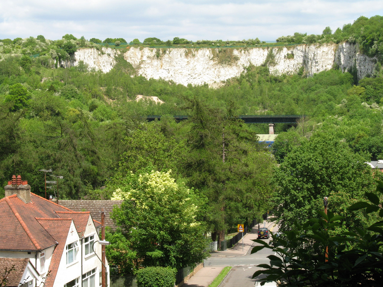
road across the valley, with the Oxted Line traversing its impressive viaduct,
behind it the chalk of Riddlesdown exposed by the quarry, now disused but
working for about 200 years until 1967.
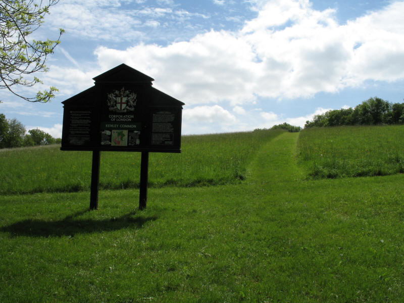
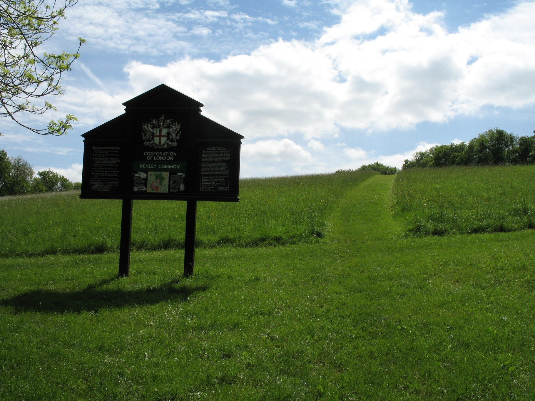
At the top of the steps we emerge onto Kenley Common, yet another piece of open
space for which we have to thank the vision and the money of the Corporation of
London.
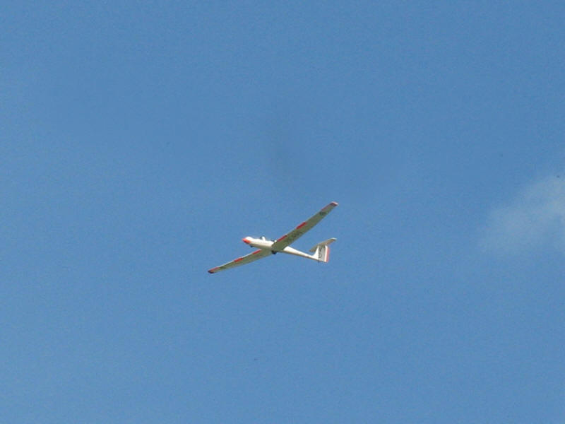
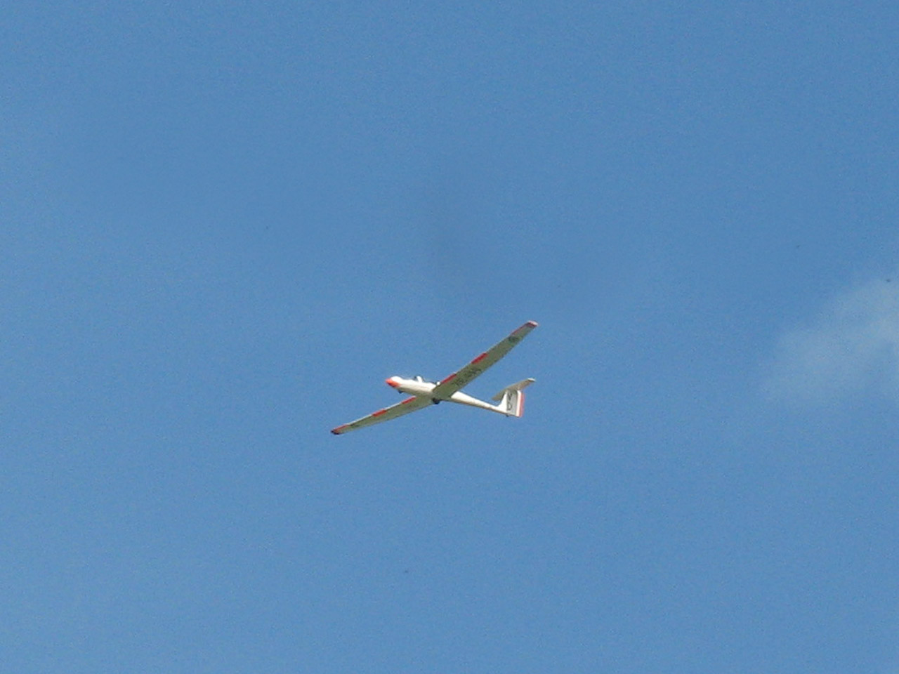
Gliders overhead show that we are approaching Kenley Airfield.

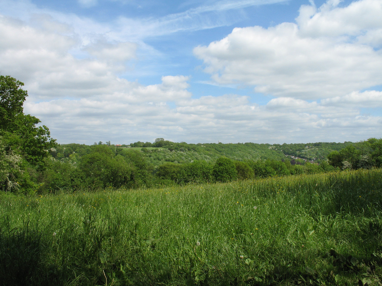
But first, time for lunch. And what a magnificent view during the meal - looking
east back across the valley we have just crossed.

After lunch we went through a short woodland, and emerged onto this open
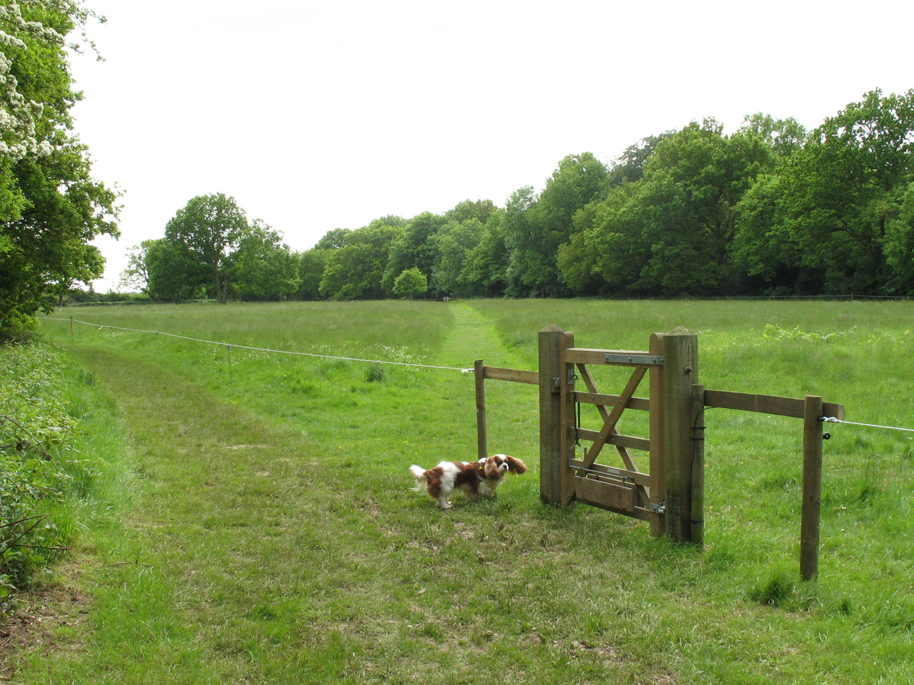
grassland part of Kenley Common. Henry is clearly bemused by the gate: what
looks like a white nylon rope is an electrified fence to keep the cattle inside
the grassy area. Grazing by cattle is important in maintaining the delightful
grasses.
We made a short diversion off the route of the LOOP onto Kenley Airfield. Here
we look into the earth banks of a blast bay, once protecting Spitfires when this
was RAF Kenley.
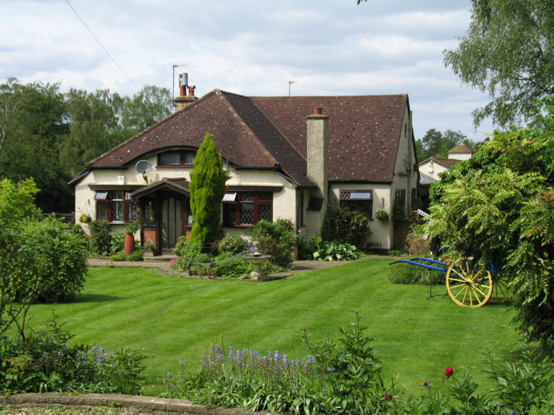
A delightful house as we emerge from Kenley Common onto Golf Road
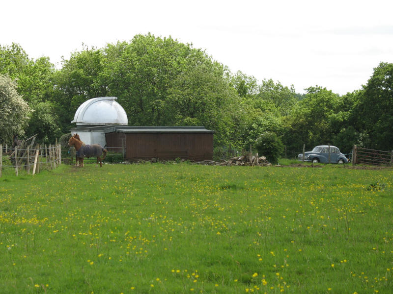
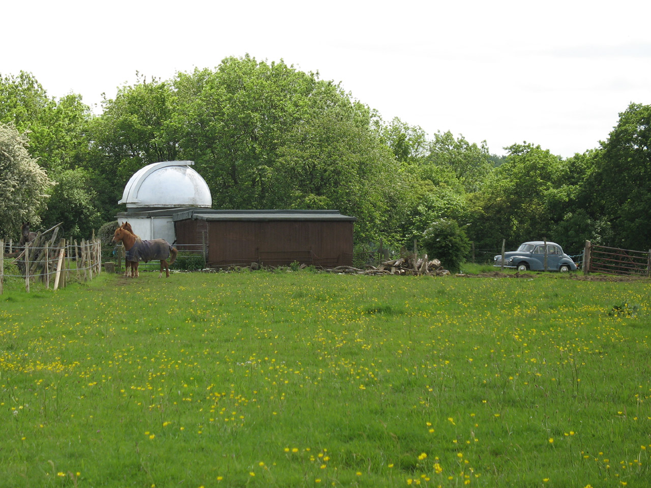
There was then a confusing section which bore no resemblance to the map or
descriptions in David Sharp's guidebook, but following instincts saw us safely
to another lovely field full of flowers, and we now approach Croydon
Astronomical Society's observatory.
Safely past the houses of Old Coulsdon, we cross onto Coulsdon Common

Henry takes a quick breather on this pleasant afternoon.
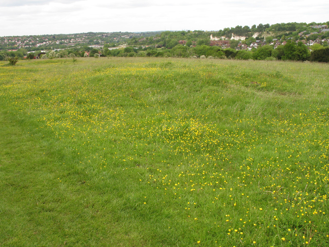
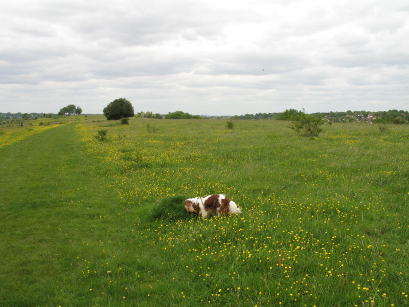
Grassland on Coulsdon Common

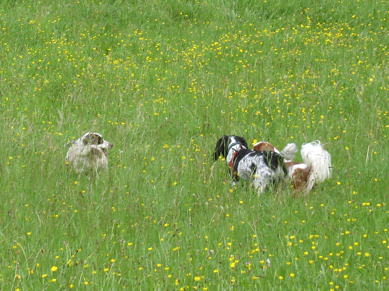
We then find ourselves in the gorgeous Happy Valley, where Henry finds lots of
dogs to play with, including these two spaniels.
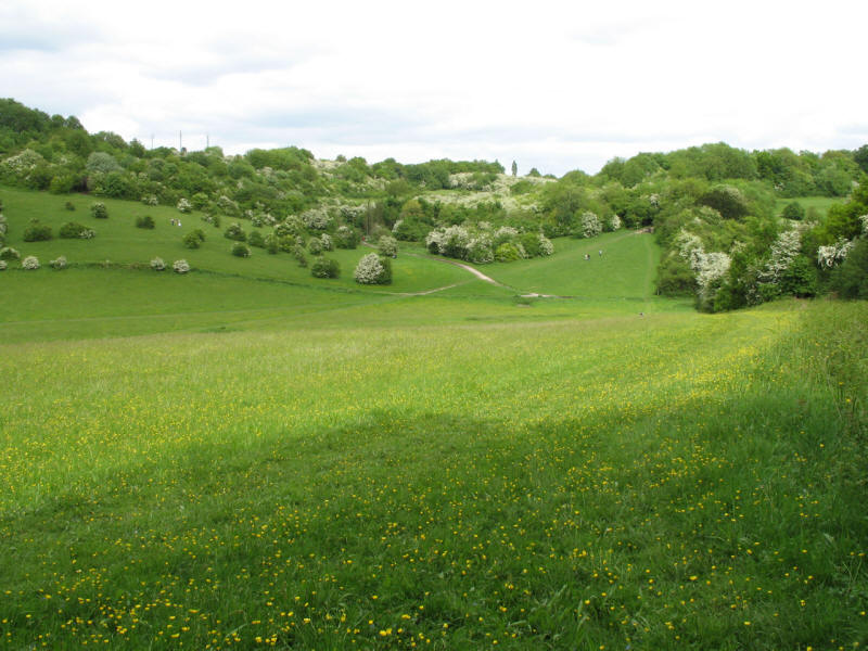
Happy Valley. We are now heading north-west - we have passed the southernmost
point.
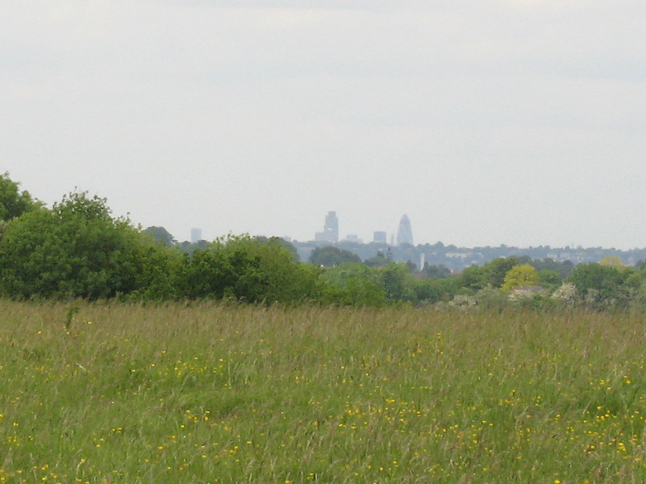
We walked through Devilsden Wood to emerge onto the ridge of Farthing
Downs
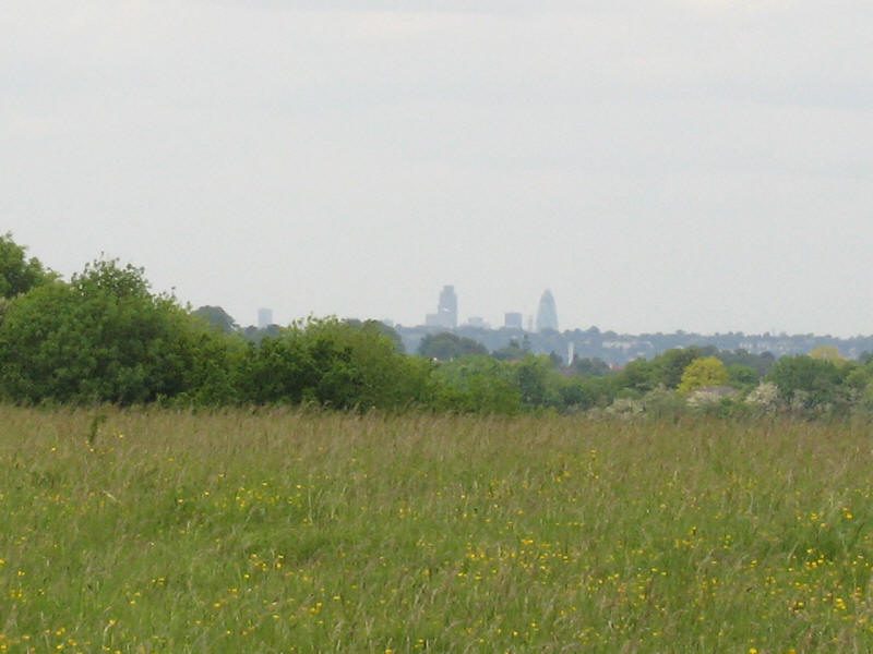
From Farthing Downs, Tower 42 and the Swiss Re Tower in the City.
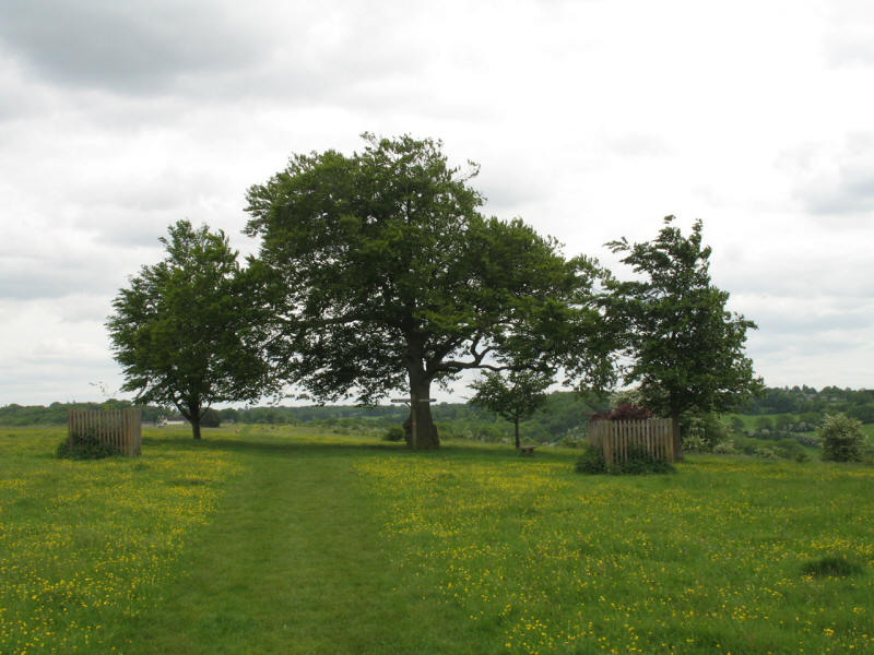
In 1783 the summit was crowned with seven beech trees. Time has taken its toll,
and new replacements haven't fully restored the grove to its former glory.
The crossing point of ancient tracks with its beech trees was named The Folly in
1785 by Thomas Bainbridge.
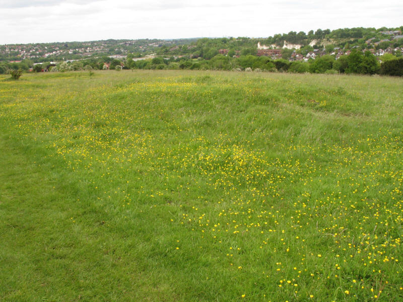
There are several round mounds - the remains of a 7th-century Saxon burial
ground.

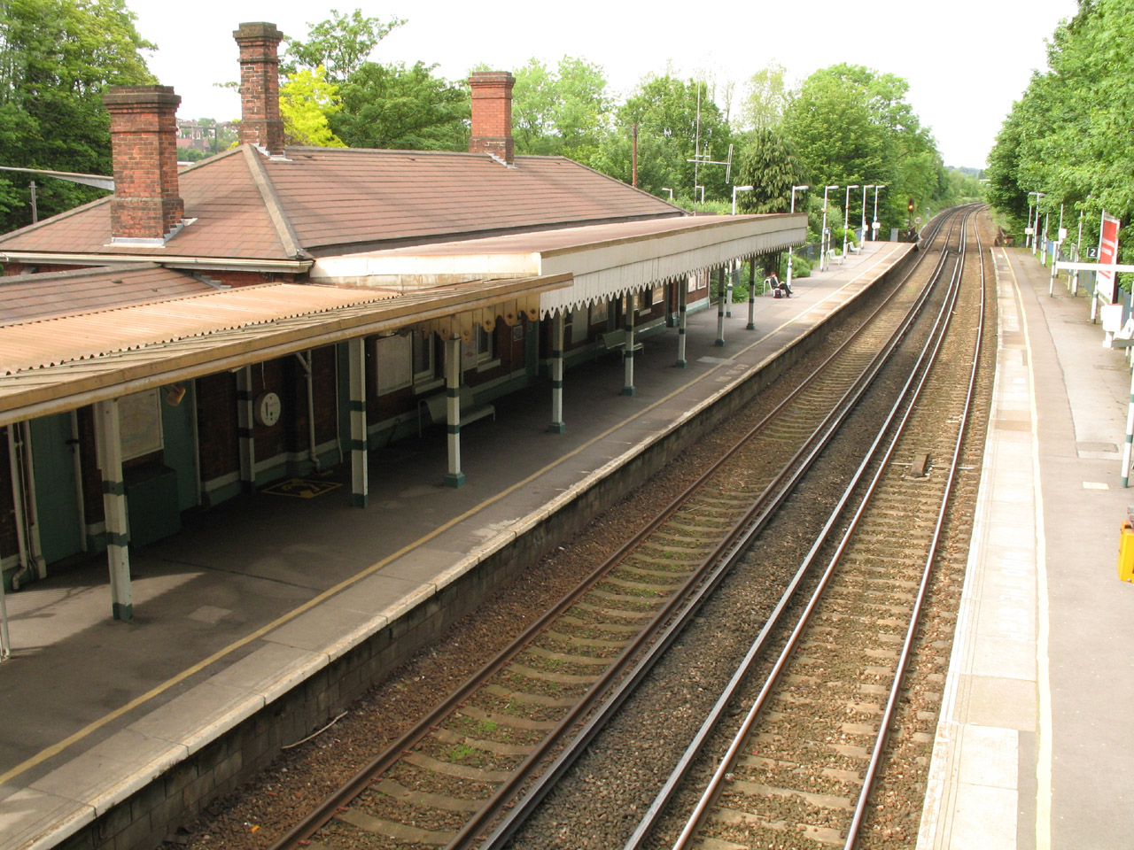
There now follows an urban section as we conclude our walk - at Coulsdon South
station we cross the Brighton Main Line railway.

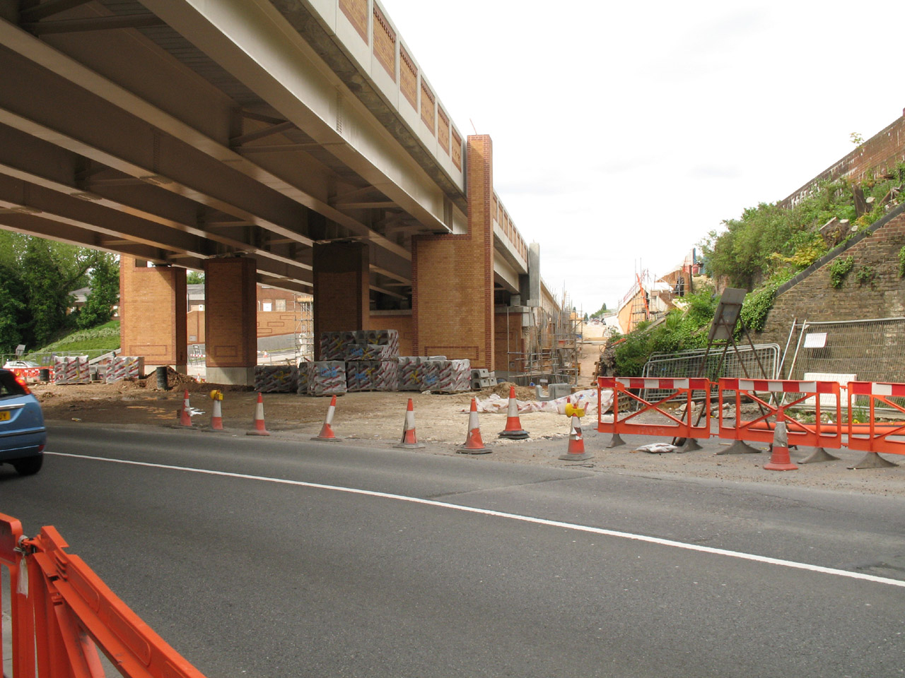
We then cross the A23 and walk through the major works surrounding the
construction of the £33m Coulsdon relief road, and it is time to go home.
Possibly the best LOOP walk so far - mostly chalk common land, well managed, and
a delight to walk through. The
failure of the TFL Journeyplanner was annoying, but probably meant that we had
the best of the walk, so wasn't too big a problem in the end. Having geared
myself up psychologically to have passed the half-way point around the LOOP
today, it was a little disappointing not to have done so, and with some busy
weekends coming up doing other things, the plan to complete the LOOP this year
will start to come under a little pressure. If I don't it will still be
there next year, but there is still plenty of time left this year so I'm not
giving up yet! Next time, the London Loop from
Coulsdon to Banstead Downs
Section 5 Hamsey Green to Coulsdon: 11.6km, 3 hours 10 minutes
(including 45 minutes stopped), 254 metres of ascent.
|