London Loop Walk 15:
Woodcock Hill, Harefield to Hatch End
10 September 2006
Today Stephen did the fifteenth of his London
Loop walks, this time with Ellie for company. George's injured foot is
continuing to improve and he has had one short walk, but still has two socks on
his foot, much to his disgust!
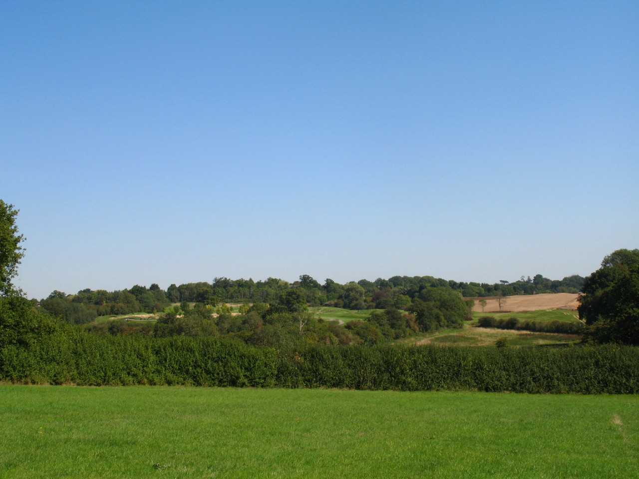
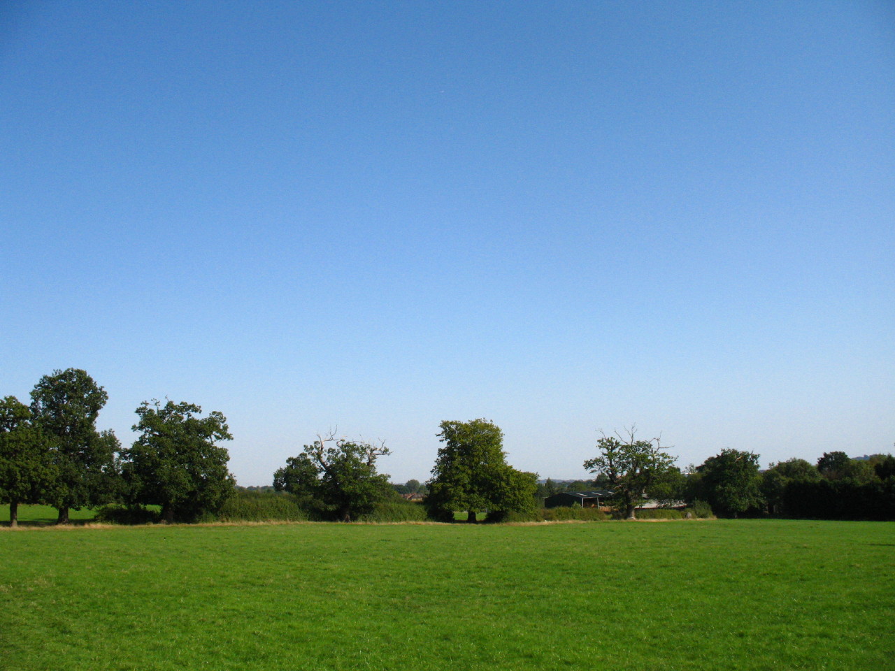
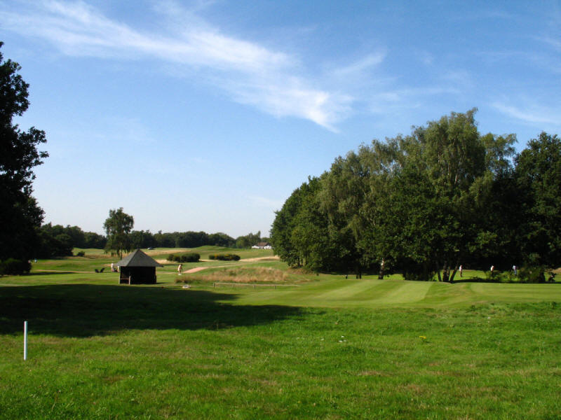
As we head out from the Rose & Crown pub, a hot and sunny afternoon awaits us. A
short journey across farmland with views to one of the three adjacent golf
courses overlooking the Colne valley hereabouts.
We then turn off into Park Wood, part of the Bishop's Wood Country Park. This is
the first bit of the LOOP where the official route requires one to cross barbed
wire which is along the top of this wooden barrier.
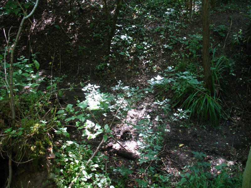
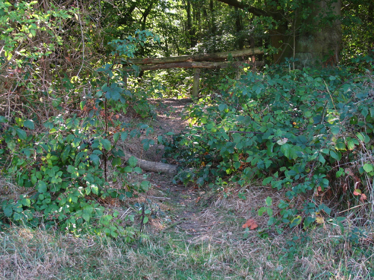
In the wood, the instructions tell us to turn off the main path and walk along a
stream. In this very dry year, this is the stream bed - completely without
water. Previous LOOPers had reported difficulties in route-finding in Bishop's
Wood Country Park. I never found the "turn right and come very soon to a
crossing track", finding a promising looking track which proved to be the right
one. But the instructions to follow the white arrows had the potential to be
confusing, since the first direction post, where I joined the track, had only
one white arrow, pointing 180° in the wrong direction. But I stuck to my guns,
ignored the instructions, and was on the right track.
The walk parallel to White Hill road was a bit hard work in places as the
vegetation was rather overgrown - nothing especially difficult in itself, but
persistently troublesome.
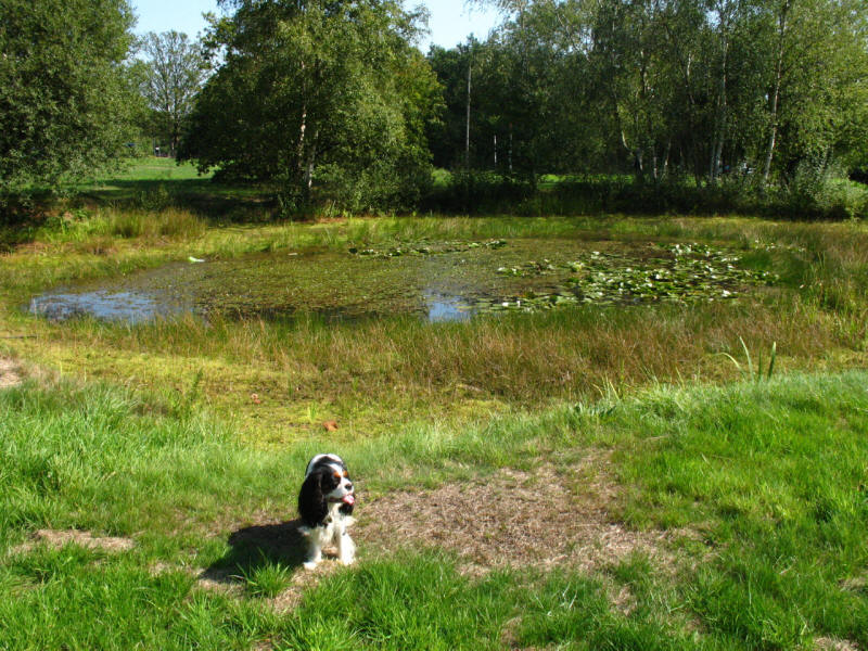
The pond on Batchworth Heath, a delightful point to stop on a bench for lunch.
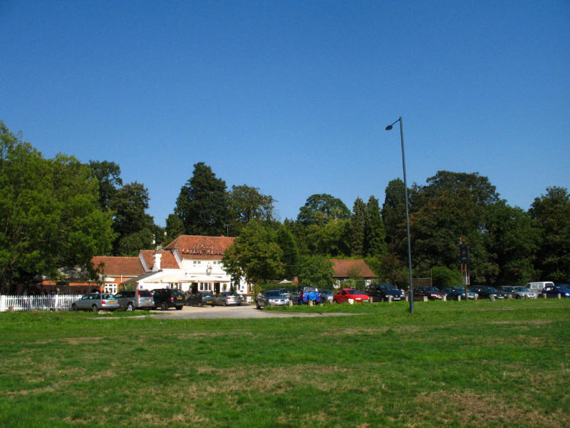
Looking from the lunch spot across the A404 road to The Greene Mann pub which
dates from 1728. It was visited by Dick Turpin: he left from a rear window as
the Bow Street Runners entered the front, looking for him.

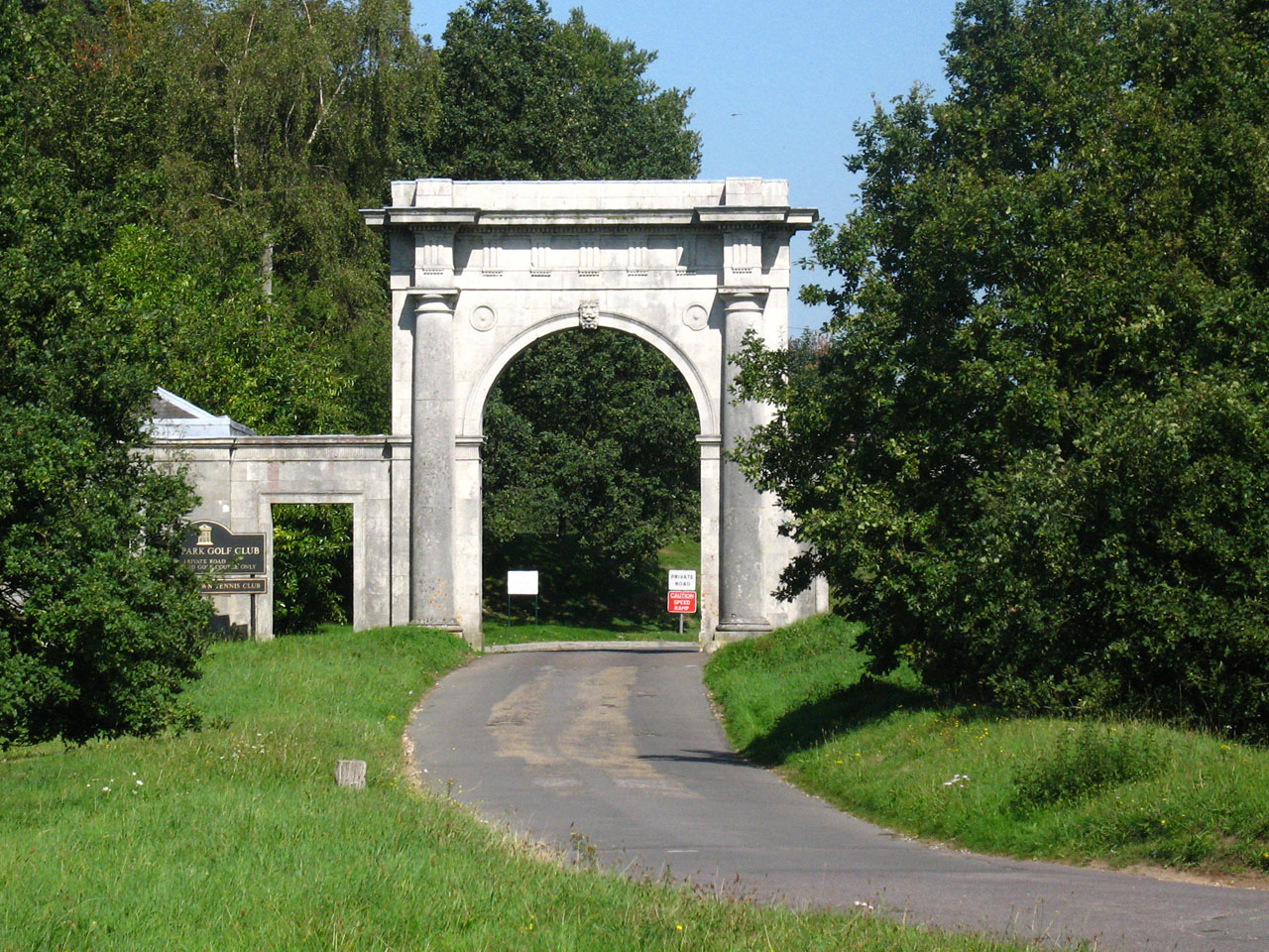
The grand entrance to the Moor Park Golf Club and Moor Park Mansion.
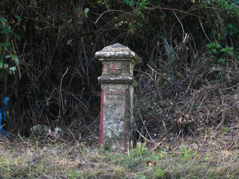
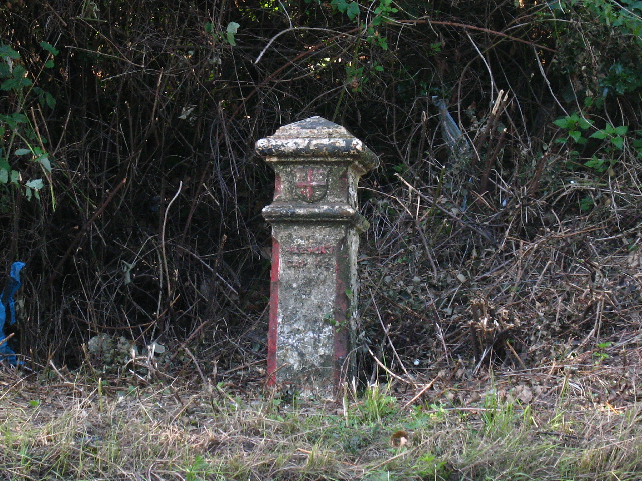
Lying almost forgotten beside the A404 is this coal tax post. These were erected
under the London Coal and Wine Duties Continuance Act, 1861. The City of London
was permitted to set up "a Boundary Stone, or some other permanent Mark" where
any turnpike road, public highway, railway or canal entered the District, the
point at which tax became due, and these posts therefore define the London
district after it was changed in 1861.

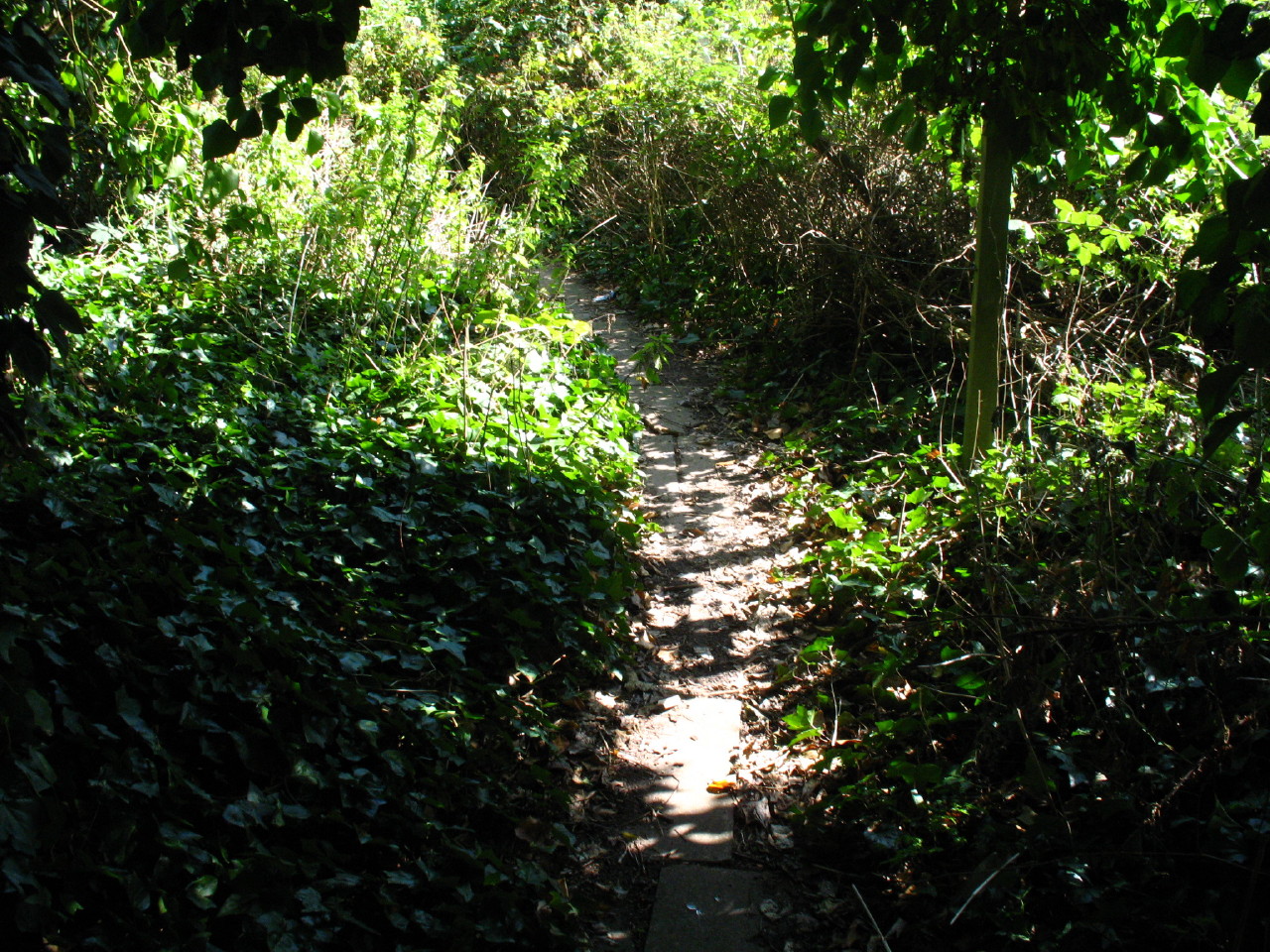
Turning away from that post, we find that we are still walking along the border
of London - this paved way is a boundary path which once divided
Middlesex from Hertfordshire, and now runs along the line between Greater London
and Hertfordshire.
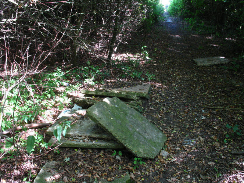
However, the paved path soon gives out, though the paving slabs are there -
whether they have been lifted and not removed, or never laid, is not clear.
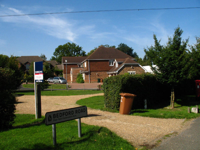
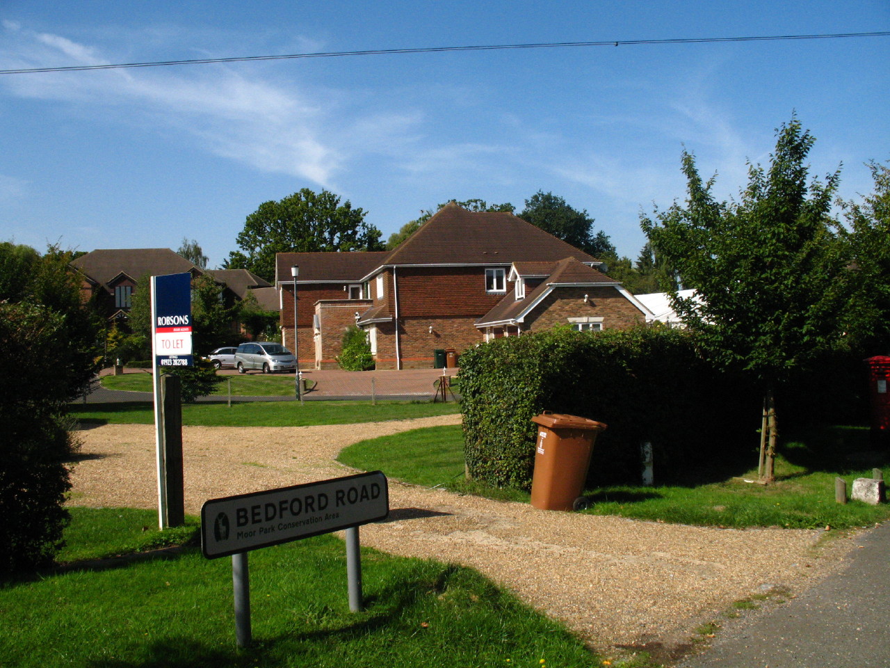
Eventually we emerge into suburbia, and a rather posh version, with large houses
and the sort of residents who obviously rarely go anywhere on foot, as the
suburban roads have no pavements. The roadsigns have "Moor Park Conservation
Area" on them, which seems odd in the middle of a housing estate. The area
was once part of the Moor Park mansion estate, of which 288 acres was developed
for housing from about 1922.
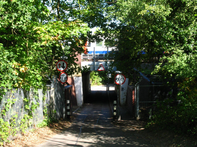
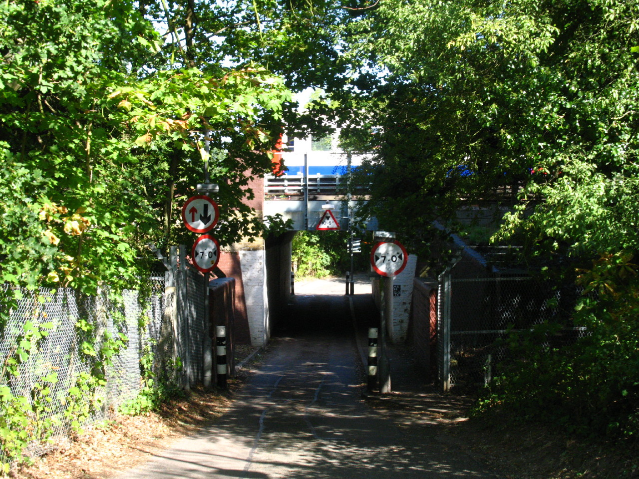
Our route then ducks under the railway line as a northbound Metropolitan Line
train runs past on its way to Moor Park station. The station was opened in 1910
to serve the Sandy Lodge Golf Course.
The LOOP then runs across this heath
...and then reaches the Sandy Lodge Golf Course, which looks to be very well
cared for. Our route takes us on a public footpath right across the course,
always cause for some caution, particularly as to the newcomer, it isn't always
obvious where the fairways are, and from which direction balls are likely to
come.
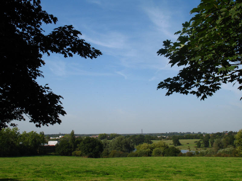
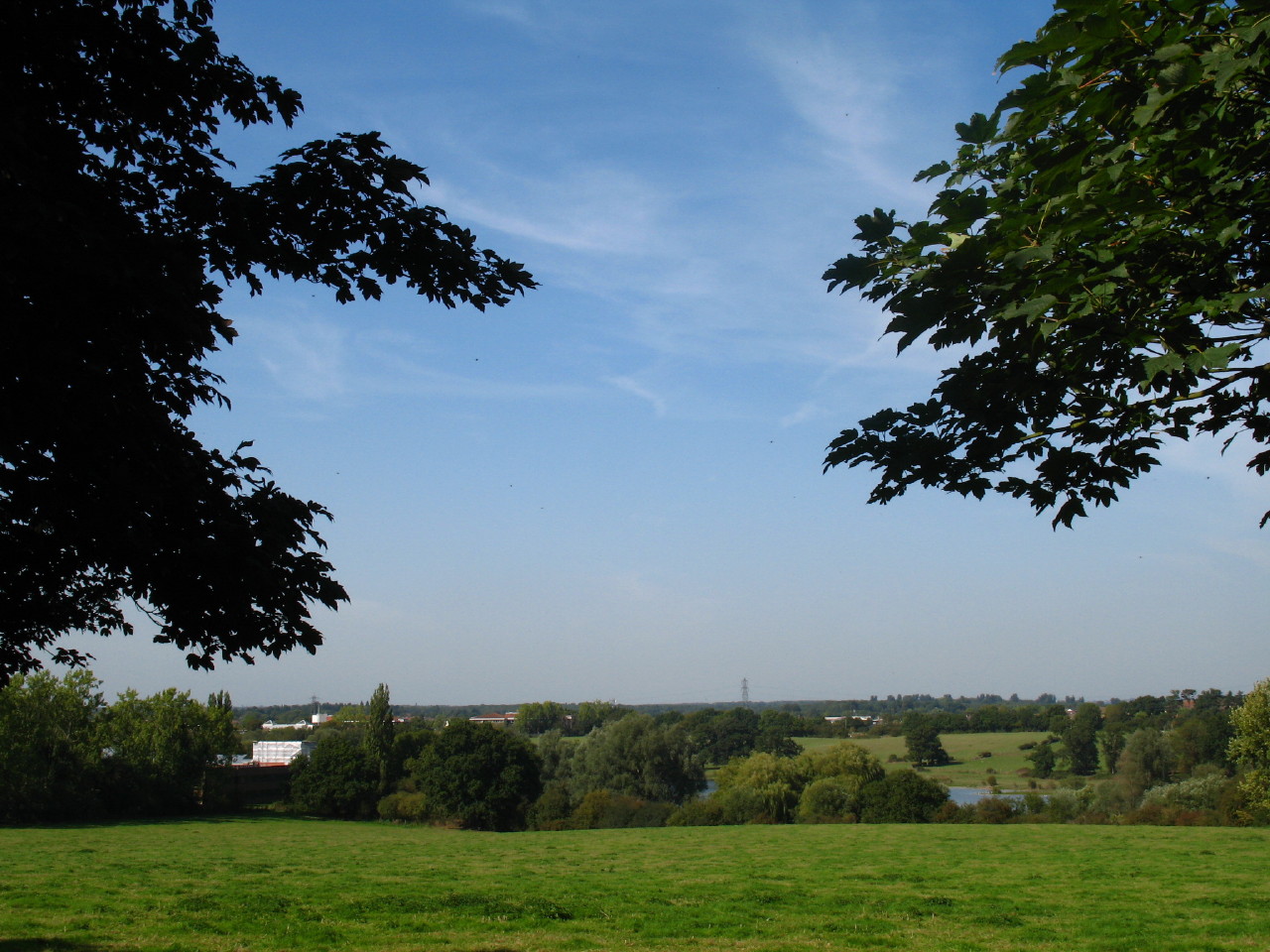
Safely across the course we emerge onto Sandy Lodge Lane where there is a view
north-west across the Colne valley and its gravel pits - our last view of this
companion on and off since south of Uxbridge.
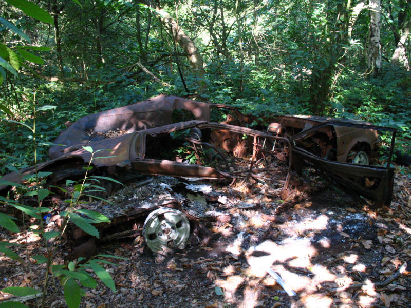
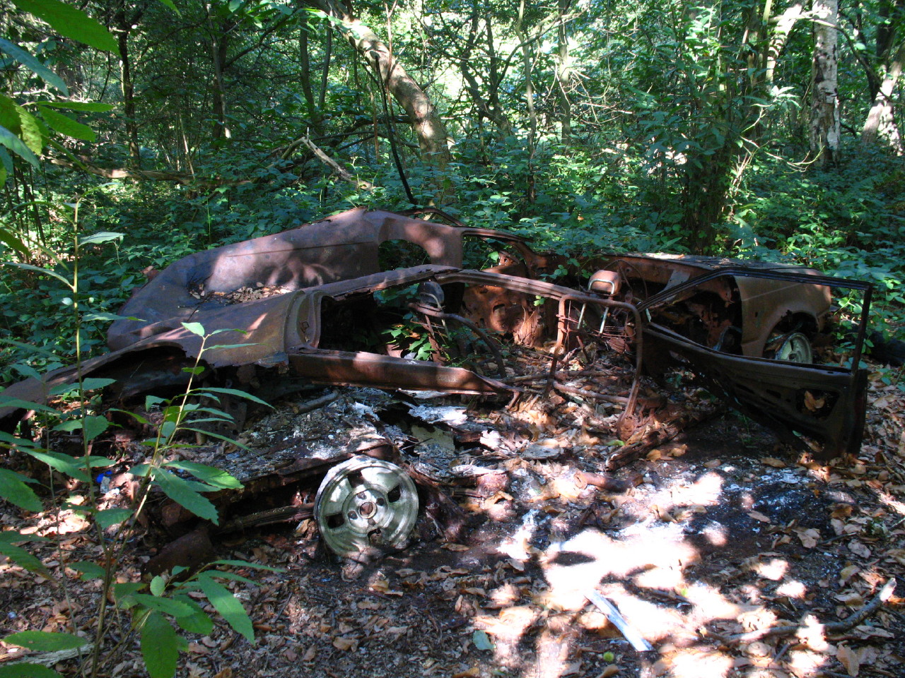
We then cross the A4125 and a pleasant extensive grassy area before we climb up
through Oxhey Woods, christened "Poxy Woods" by previous LOOPers who had not
been enamoured. The profusion of burnt out cars and motorbikes was less than
attractive, but other than that they were pleasant, and cool on this hot day.

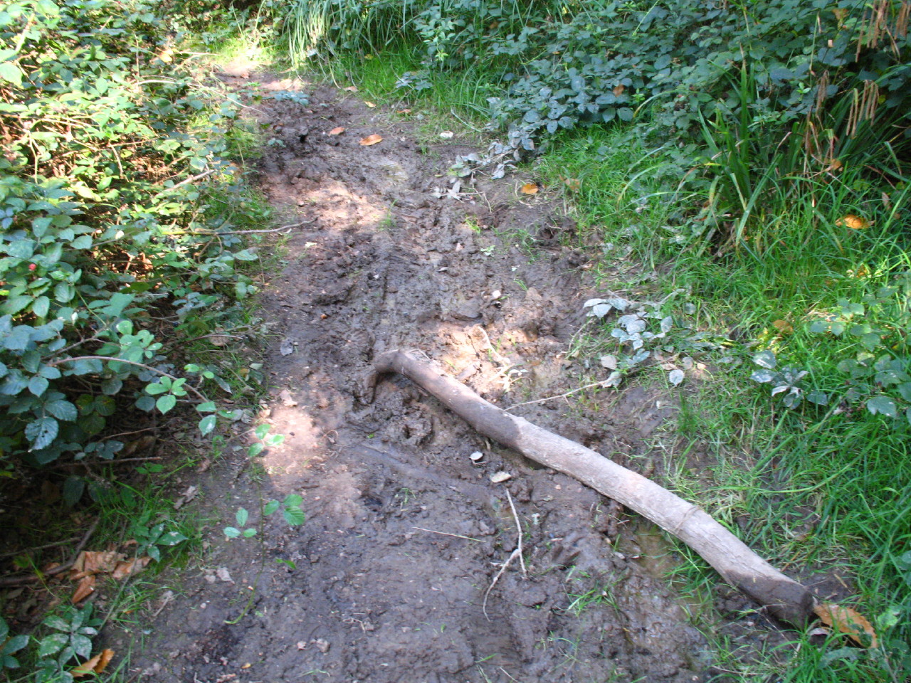
Although the ground was mostly firm underfoot, there were a few patches of mud -
I think the first we've seen since January.
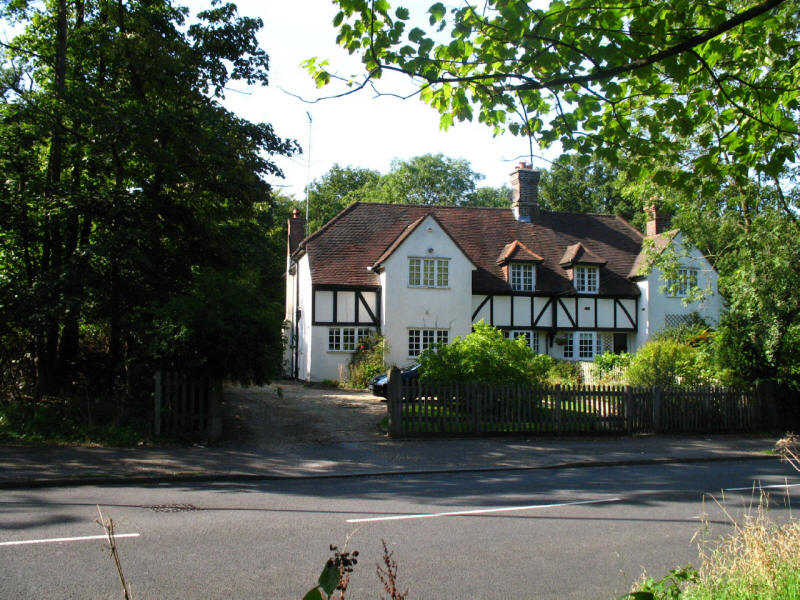
A grand house on Oxhey Drive

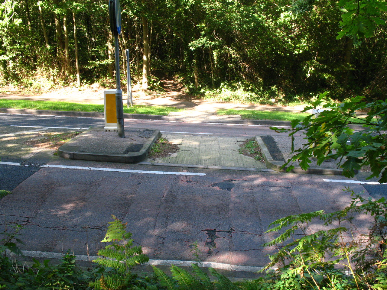
And another brief encounter with a road as we dive once more into Oxhey Woods

Then the first LOOP marker spotted on this walk. There was some danger of this
and the following marker introducing a sense of complacency in navigation as
they disappeared as suddenly as they appeared.
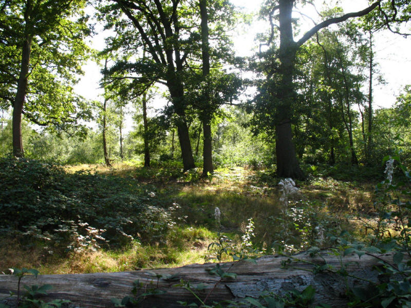
A pleasant sunny glade in Oxhey Wood. The instruction "where the track bends
away to the right, leave it for a footpath that keeps ahead" was a difficulty here,
not least as any path through woods tends to wend and weave one way and then
another, and also because I was expecting the junction to be marked by a LOOP
marker. But more by instinct than anything else, we found our way without
problems.
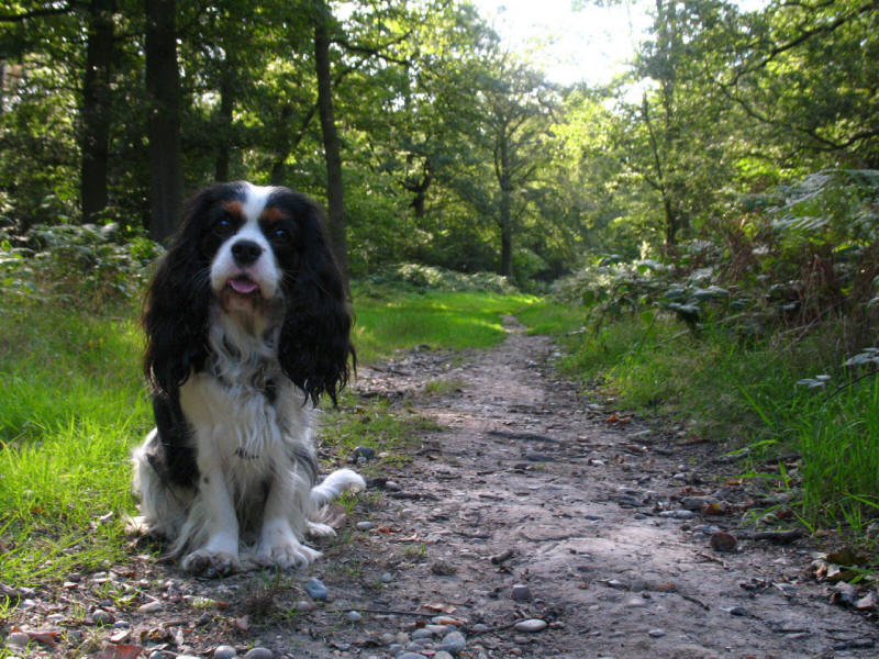
Ellie in Nanscot Wood

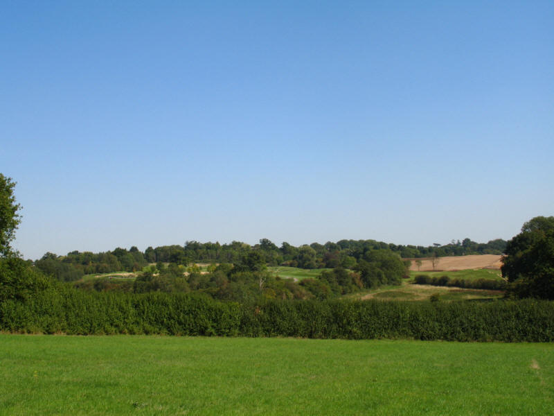
We emerged from Nanscot Wood onto the fields of Pinnerwood Farm.
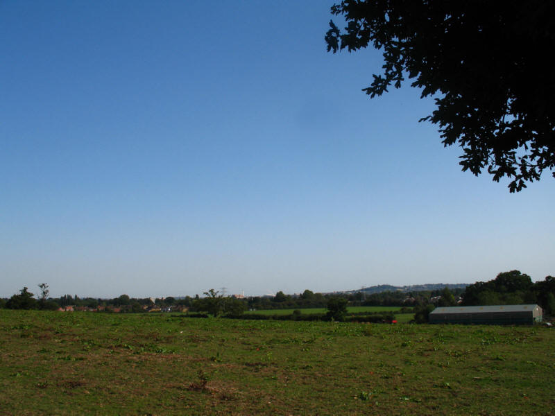
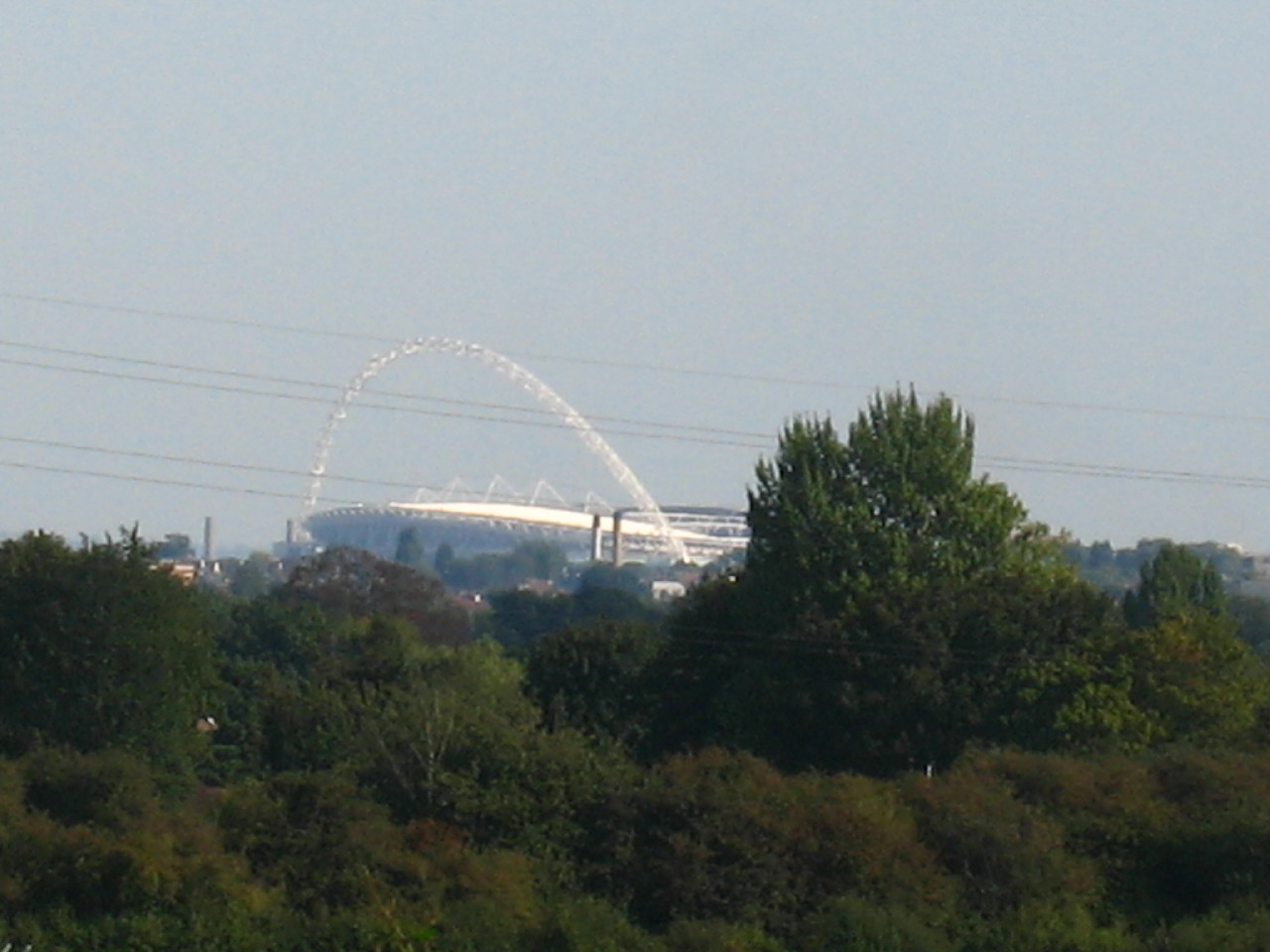
The view from Pinnerwood Farm. This point is said to have a view over "much of
London", but this seems something of an overstatement, limited in practice to a
fragment of outer north-west London, but with Harrow-on-the-Hill prominent on
the right and the arch of Wembley Stadium centre-left.
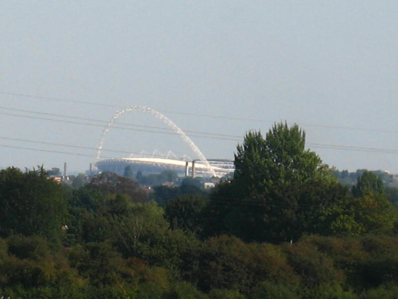
A close up of Wembley, 10km to the south-east.
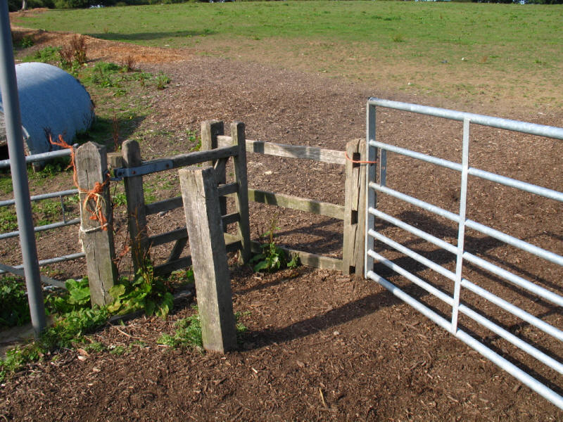
This kissing gate has been buried in wood chips, but fortunately the adjacent
gate was easy to use.

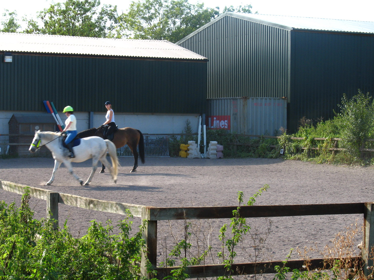
Equestrian training going on. Pinnerwood Arabian Stud was founded in the 1960s
for horse breeding.
The Victorian farmhouse of Pinnerwood Farm

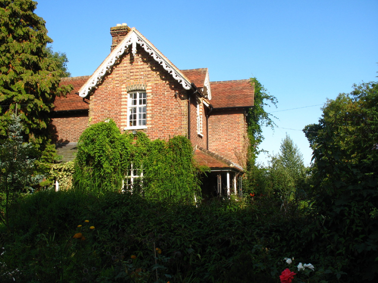
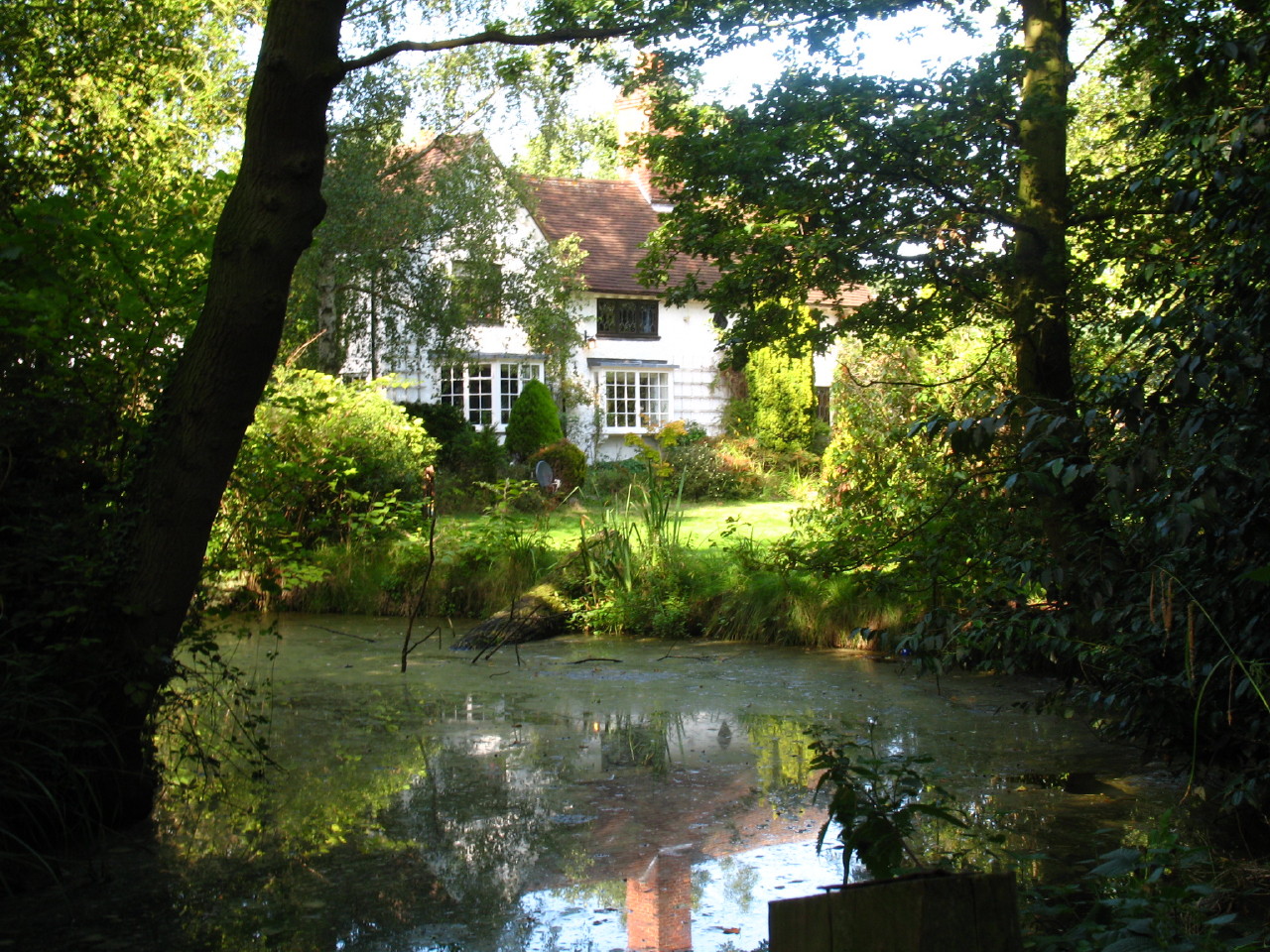
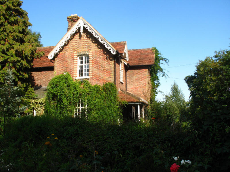
The early 18th-centrury Pinnerwood House across its pond. The house was home to
author and cabinet minister Edward Bulwer-Lytton in the 1830s
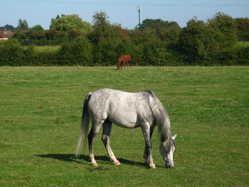
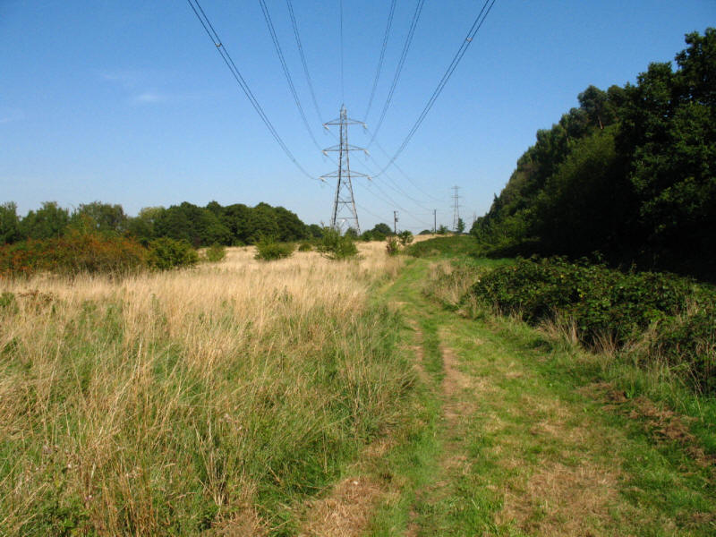
More horses as we near Hatch End. Another minor confusion with the instructions
here, as we were told to take the second stile on the right, but no mention was
made of an intervening kissing-gate, which passes through a hedge field boundary
not shown on the map, which adds to the slight uncertainty.

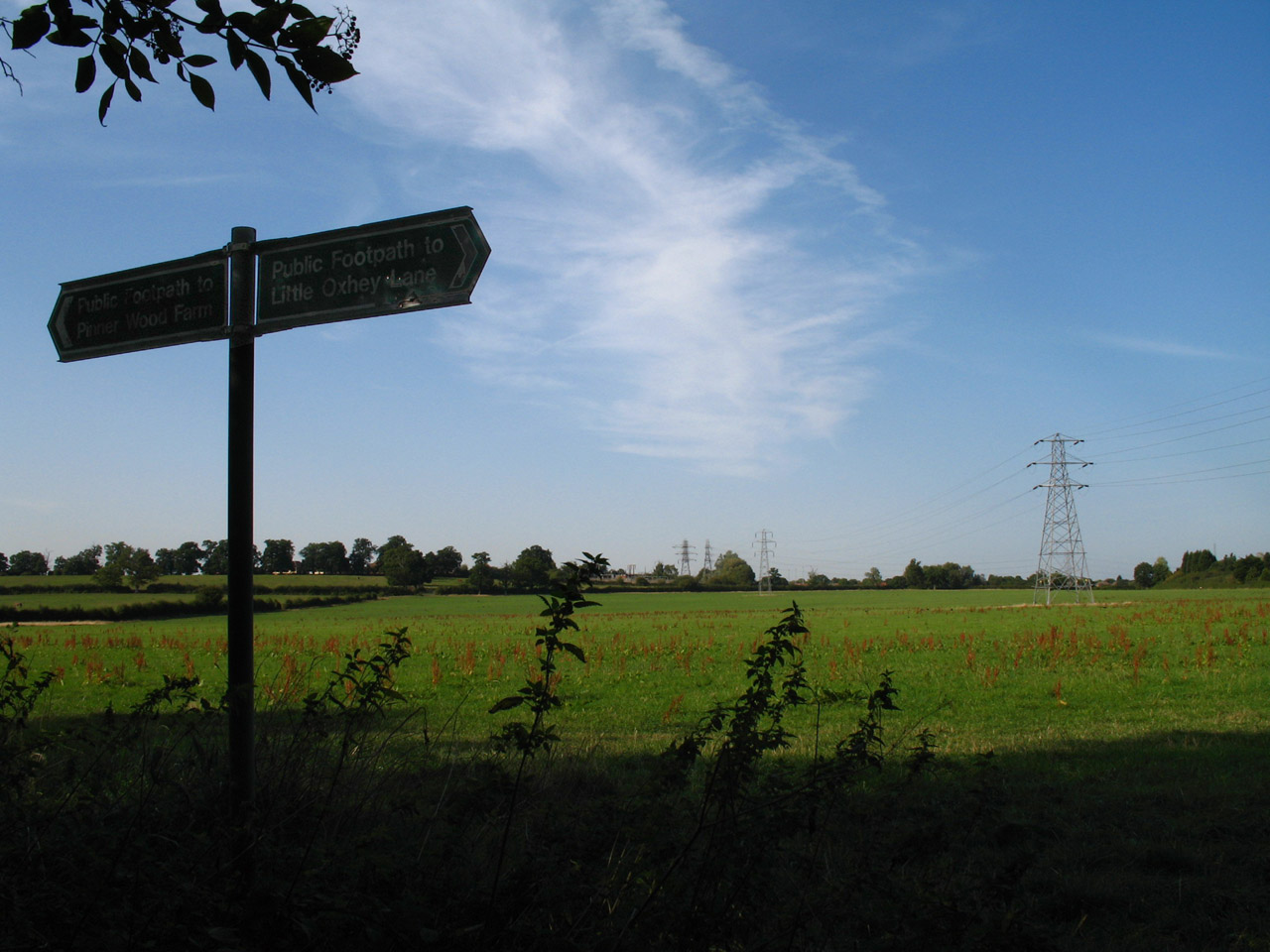
But we found our stile by reference to the line of these electricity pylons,
which are marked on the map, from where it was a few metres walk to the
road and the end of our walk.
An unexciting walk in the sense that nothing stood out particularly, and there
was a certain monotony in the woods, but on a hot early autumn day (temperatures
around 27 degrees), the woods were very pleasant. Having read the accounts of
other LOOPers, I had mentally prepared myself for a walk described as "boring", with
difficult navigation, and having had my foot complain all week since the
previous walk, was expecting trouble from that too, so when none of these
problems emerged to any significant degree, the outcome was an enjoyable walk,
if perhaps not particularly memorable.
London Loop
Section 13 Woodcock Hill to Moor Park: 3.9km, 1 hour 20 minutes
(including 20 minutes stopped), 68 metres of ascent.
London Loop Section 14 Moor Park to Hatch End: 6.4km, 1 hour 55 minutes
(including 20 minutes stopped), 124 metres of ascent.

|