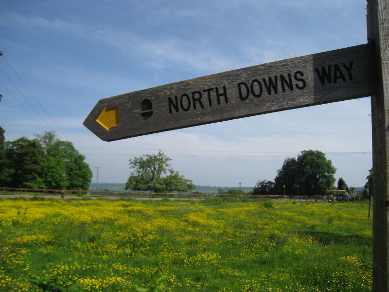
North Downs Way:
Dorking to
Merstham
24 May 2008
With the Sunday and Monday of the bank holiday weekend looking likely
to be very damp, I took advantage of the pleasant weather on Saturday
for a return to the North Downs Way. The last visit in March was muddy
and I injured myself when I fell over. Today was very dry underfoot, and
it proved to be a really delightful walk, with lots of woodland to offer
shade from the fairly warm sun, but with lots of open vistas too. It was
a shame that once again it was a hazy North Downs Way walk, but a very
enjoyable day out.
We caught the once-an-hour train by the skin of our teeth - despite a
sprint to the station, the train was pulling into the other platform (on
the far side of the bridge) as we were buying our ticket, but we managed
it just, and so the walk began from Dorking Deepdene station with a walk
north along the busy A24, where pedestrians were third class citizens in
places, pushed into the overgrown hedges by the cyclepaths.
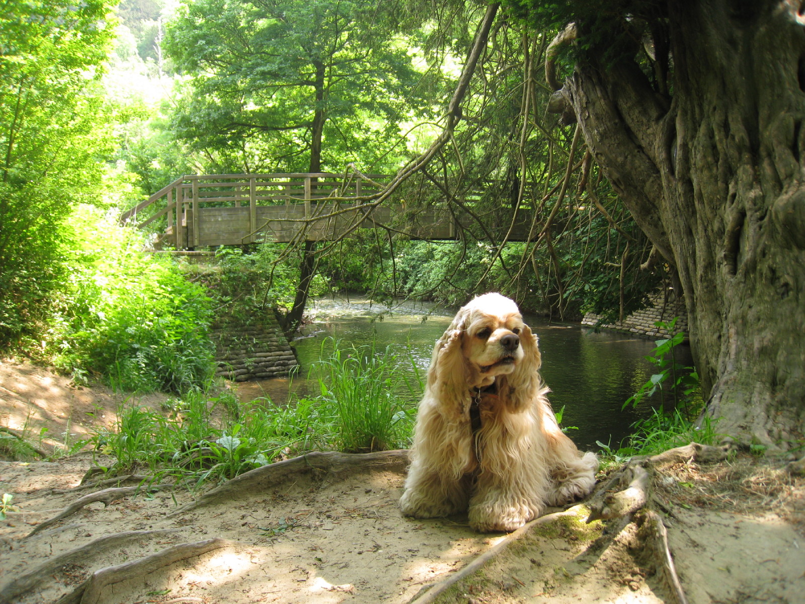
After a short walk through woods from the National Trust Stepping Stones car park, we reach the
River Mole at the foot of Box Hill. The stepping stone route was closed so we
took the alternative route over the bridge.

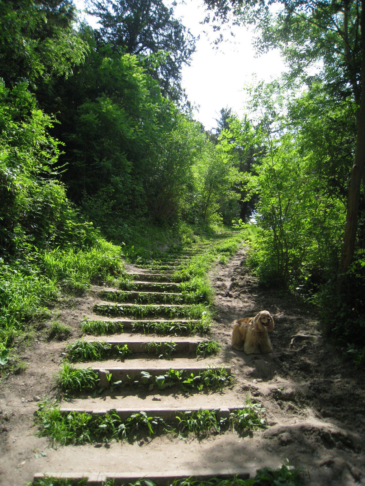
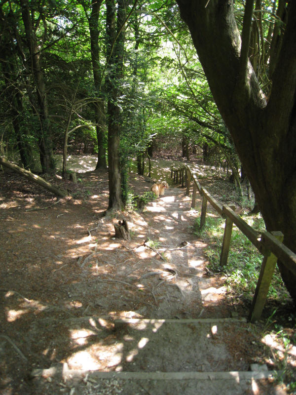
Then began the climb in earnest up Box Hill, climbing rapidly from 40 to 170
metres. Steps...
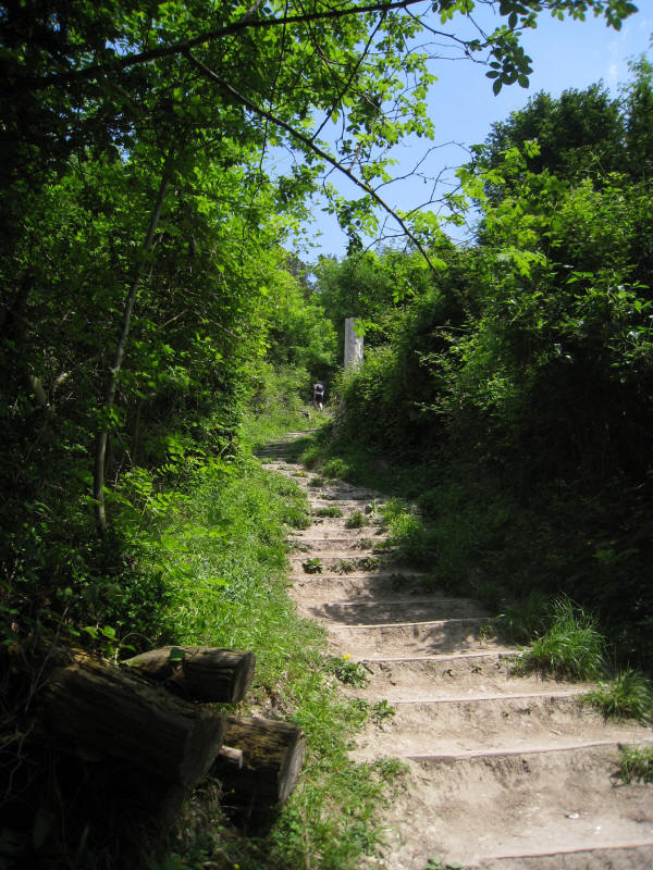
and more steps
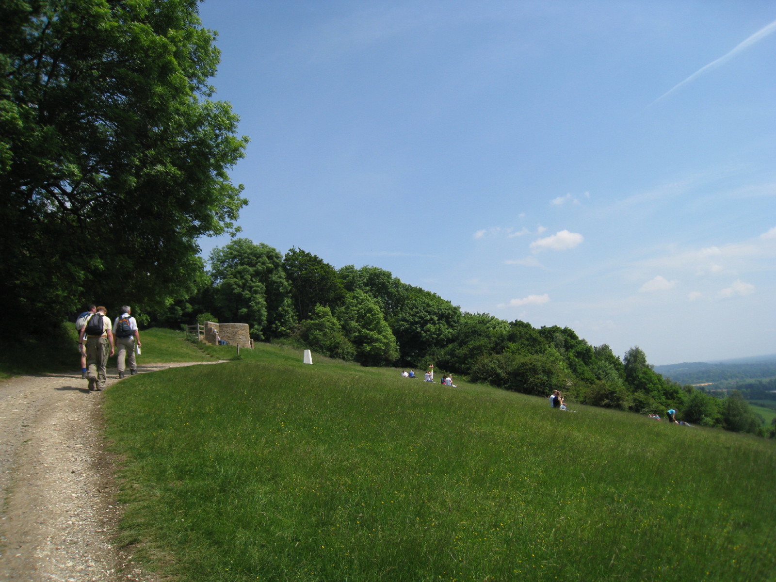
A view towards Leith Hill from part way up
Approaching the trig point and viewfinder at 172 metres. In fact this is some
way from the highest point. However, with the splendid vista, even though it was very
early in the walk, since it was nearly one o'clock it was a good point to stop
for first lunch. I haven't included a photo as the view was rather hazy and it
didn't come out well, but there were views to the South Downs, including Chanctonbury Ring.
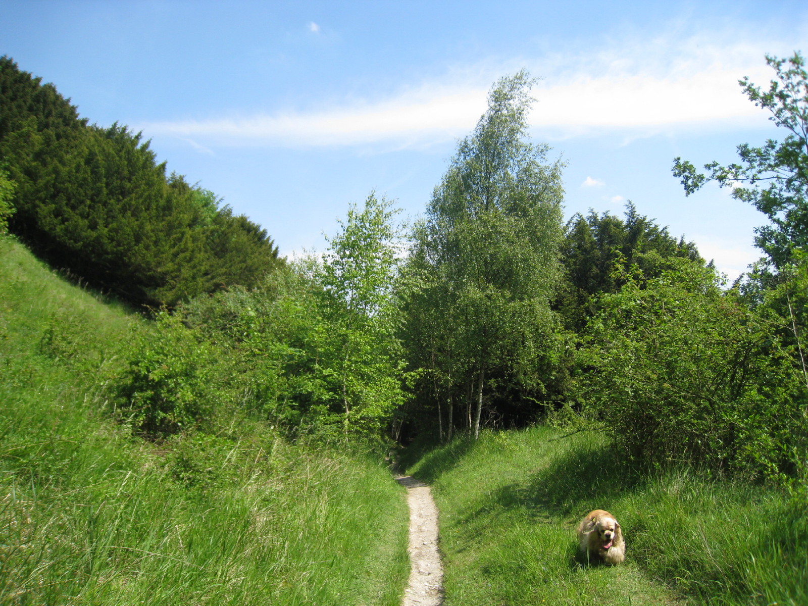
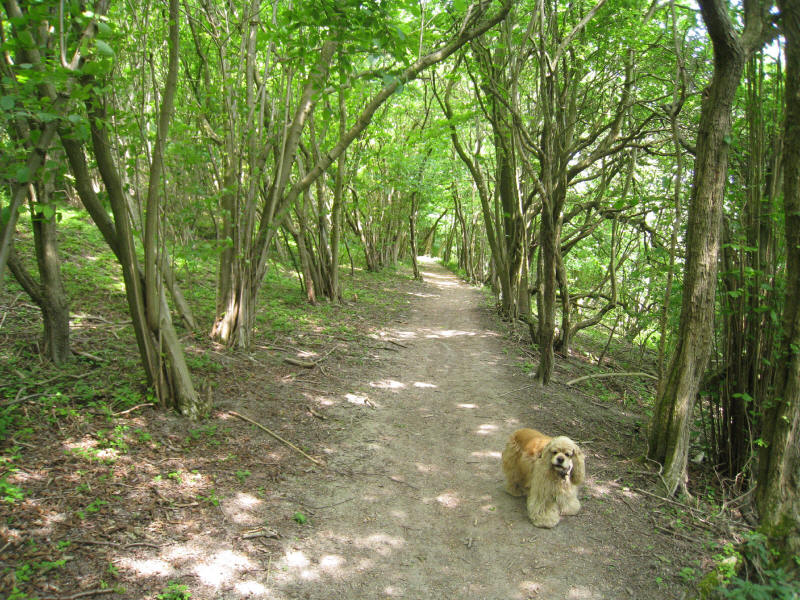
Leaving the Box Hill crowds behind, we continue along the trail through Oak Wood
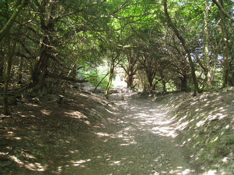
Descending steps through the wood, before turning left (unsigned) to immediately
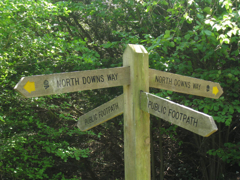
regain the height. That reference to "unsigned" was disappointingly typical of
today's walk - it was the worst signed section of a National Trail that I've
experienced. There were plenty of signs, but often there were none in the places
where the route was in doubt.
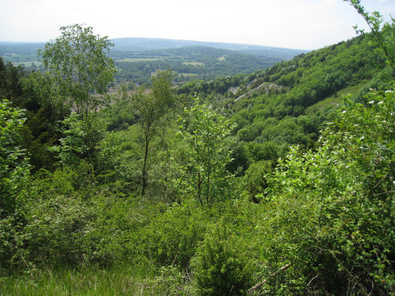
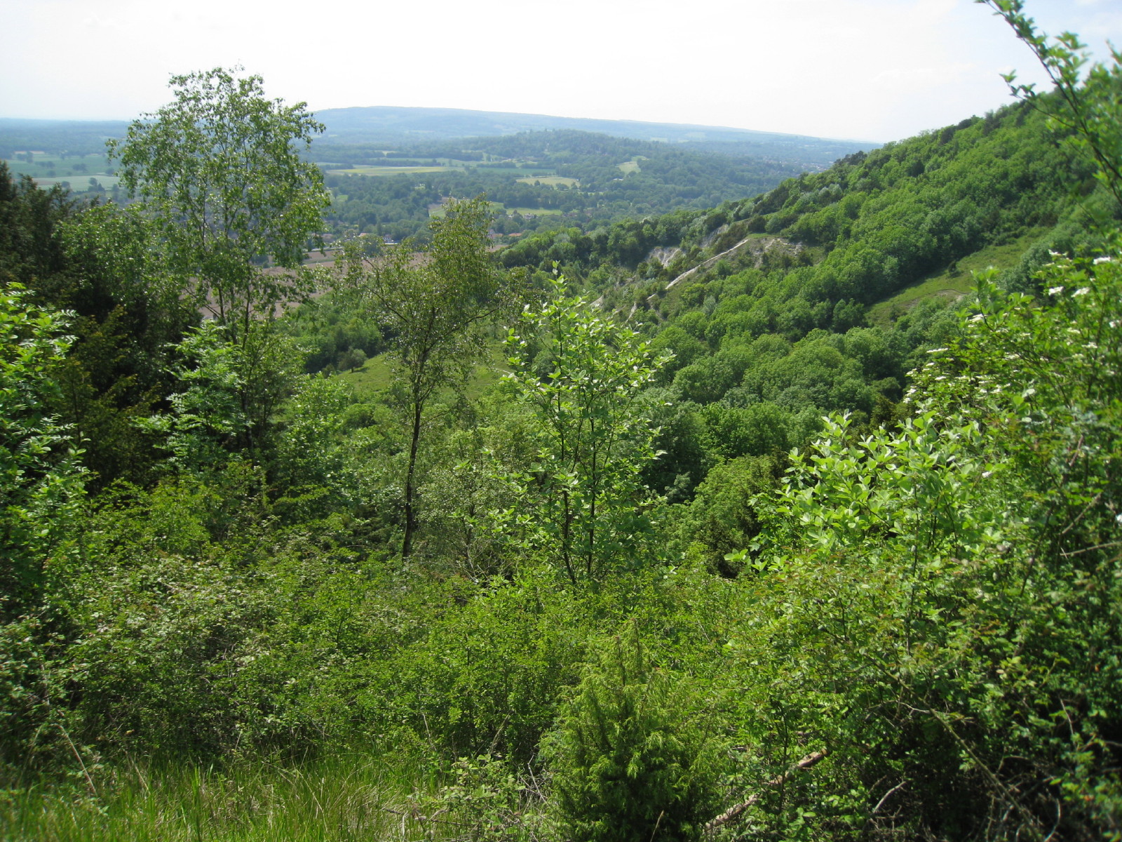
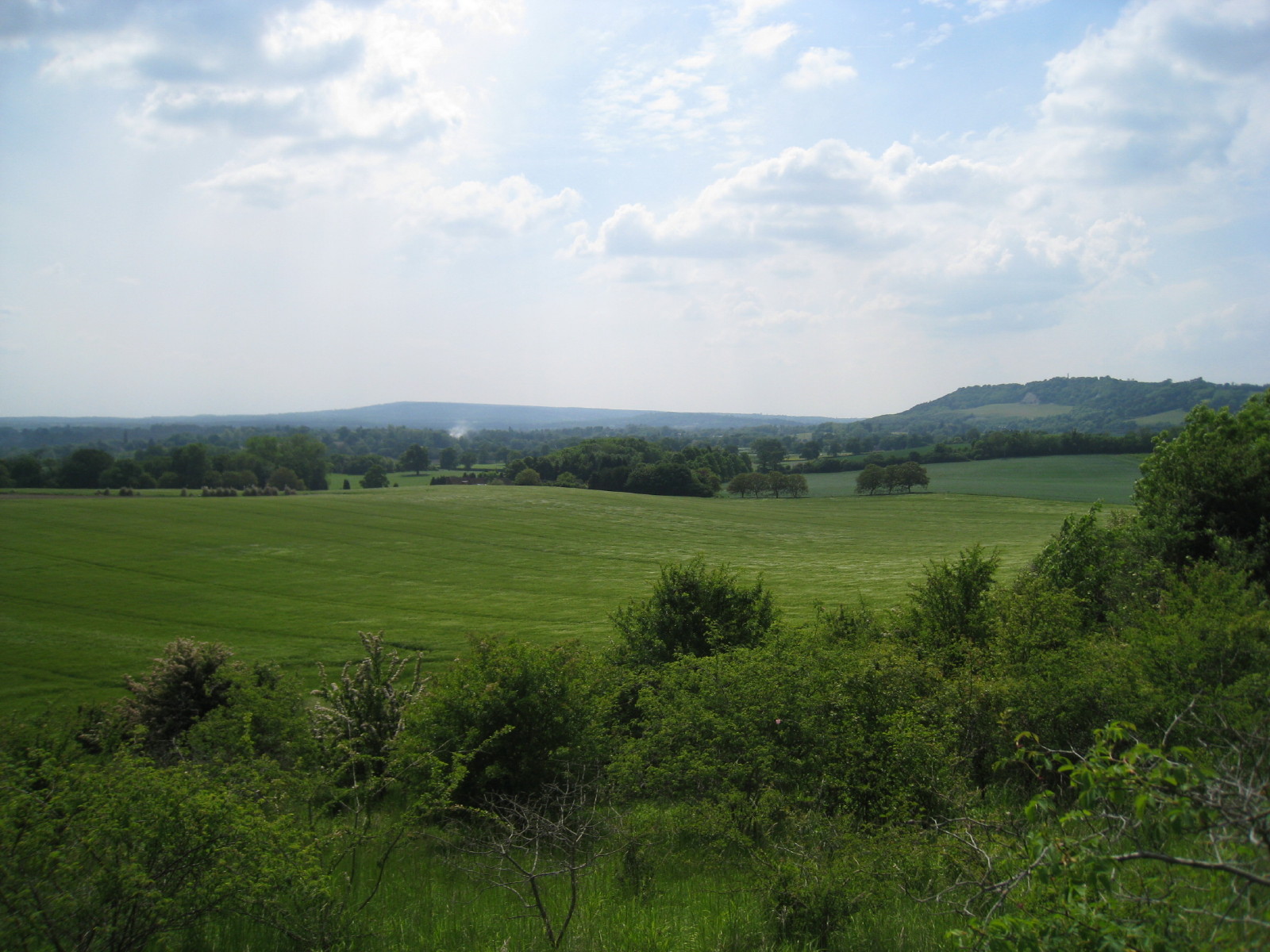
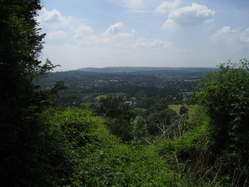
As we gently descend the Brockham Hills, we look across an old quarry towards
Leith Hill

Descending a delightful path down Brockham Hills
The signs round here all seem to droop. It appears to be a deliberate policy
decision, but I'm not sure why.
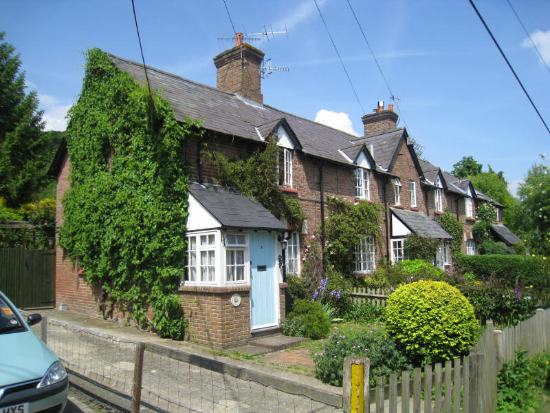
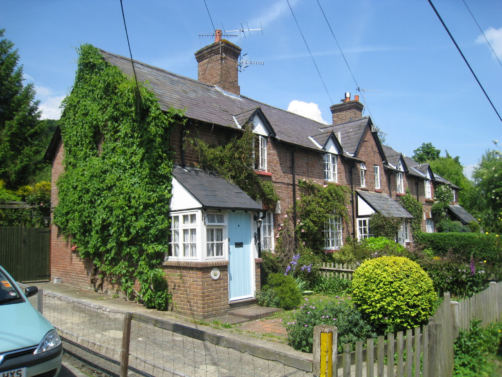
Cottages on the Pilgrims Way north of Betchworth

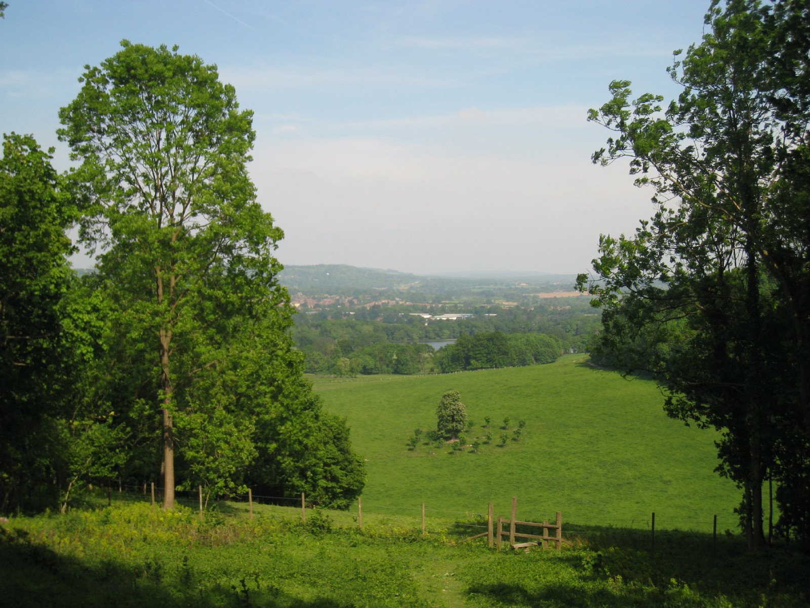
A look back to Box Hill and Leith Hill from the foot of Conybury Hill

Walking along Conybury Hill towards Juniper Hill
Coppiced woodland on Juniper Hill
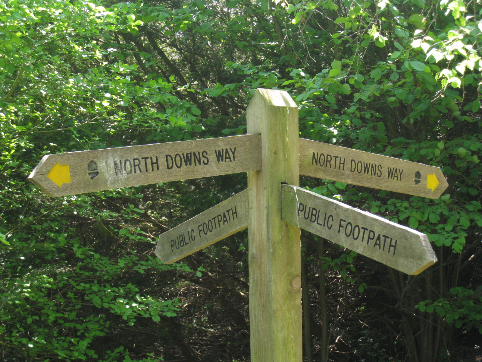
After another unsigned junction, we head steeply uphill up Colley Hill, passing
another junction which was signed with the National Trail acorn symbol but no
direction marker, so making the acorn symbol totally pointless as it didn't
indicate which of the two routes to take. This wasn't difficult with a map or
guidebook, but if effort is going to be made to sign the route, it should be
done properly.

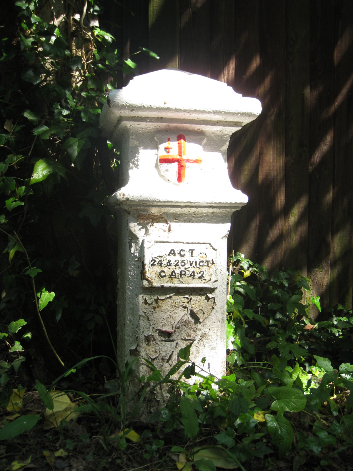
At the top of Colley Hill, a coal tax post marking the point at which tax on
coal imported into London became payable.
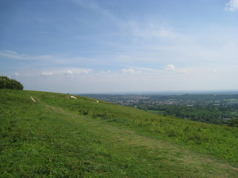
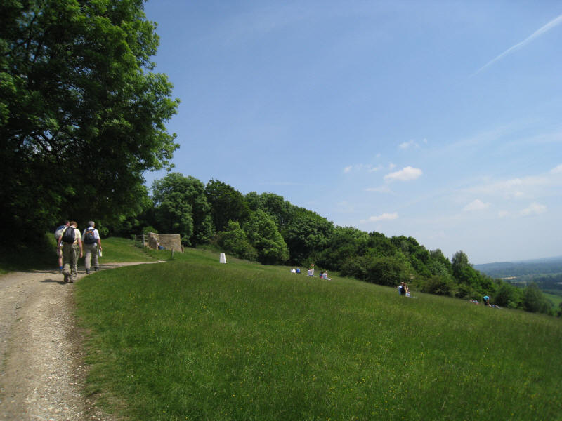
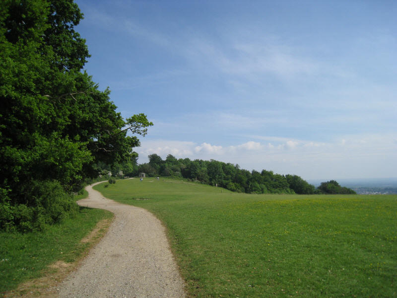
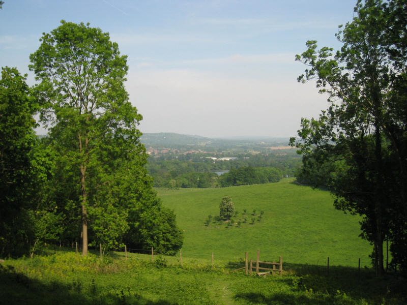
Walking along Colley Hill, the views open up. The fresh winds meant that it was
a good day for kite flying.
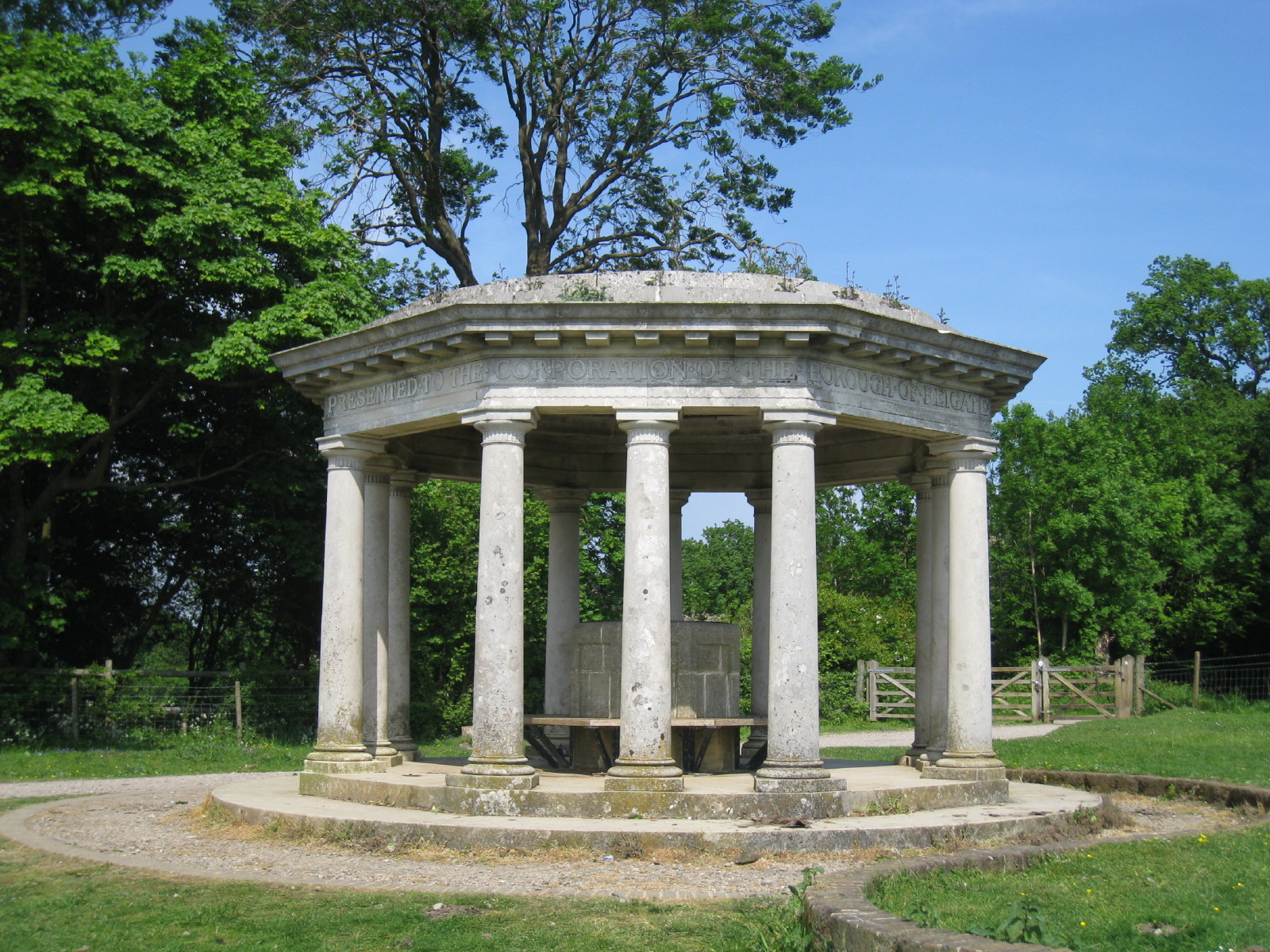
In the distance on Colley Hill can be a seen a curious structure

It is a roofed seating area which, as the letters around the top report, was
presented to the Corporation of the Borough of Reigate, for the benefit of the
public by Lieutenant-Colonel Robert William Inglis in 1909
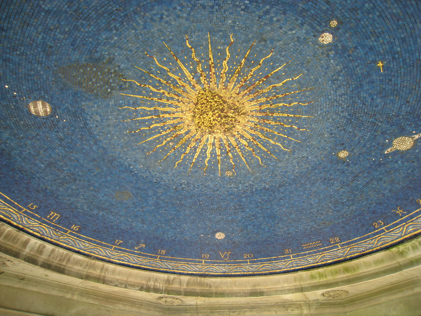
In the roof
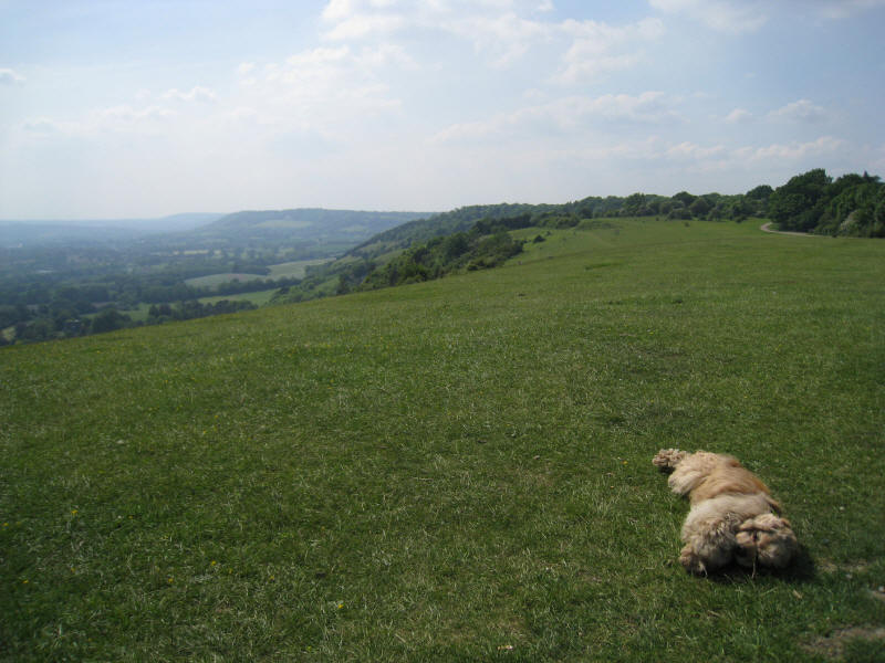
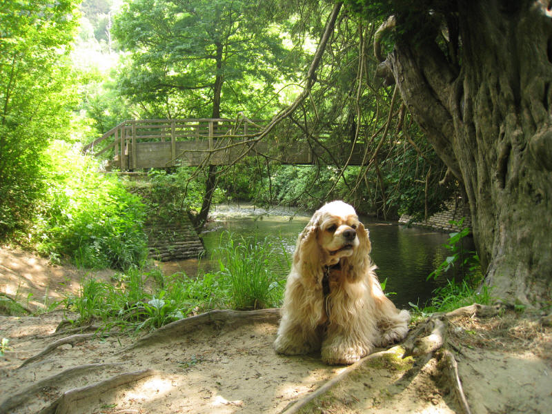
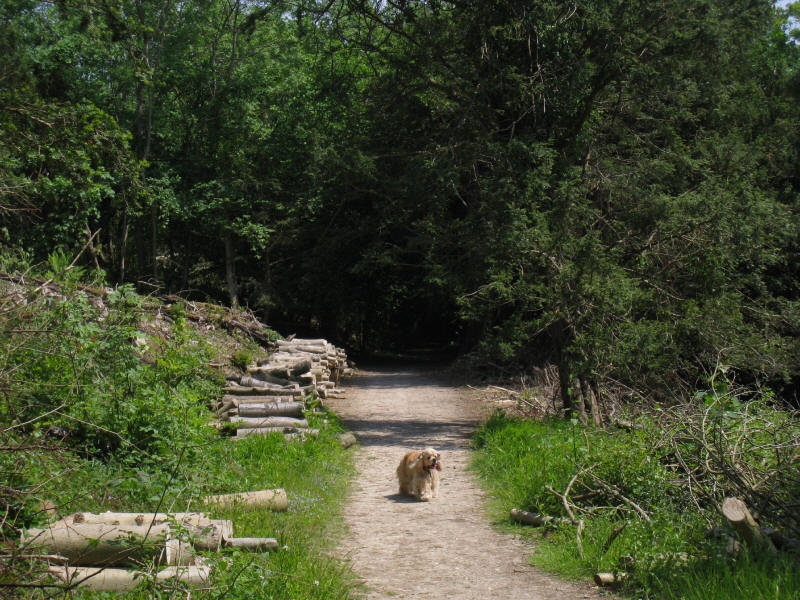
George relaxes as I take a look back along the North Downs of today's walk
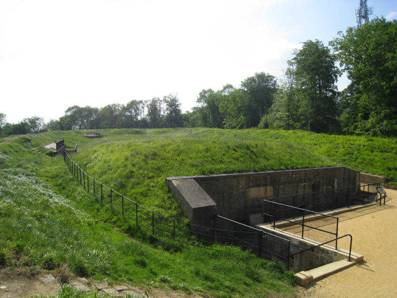
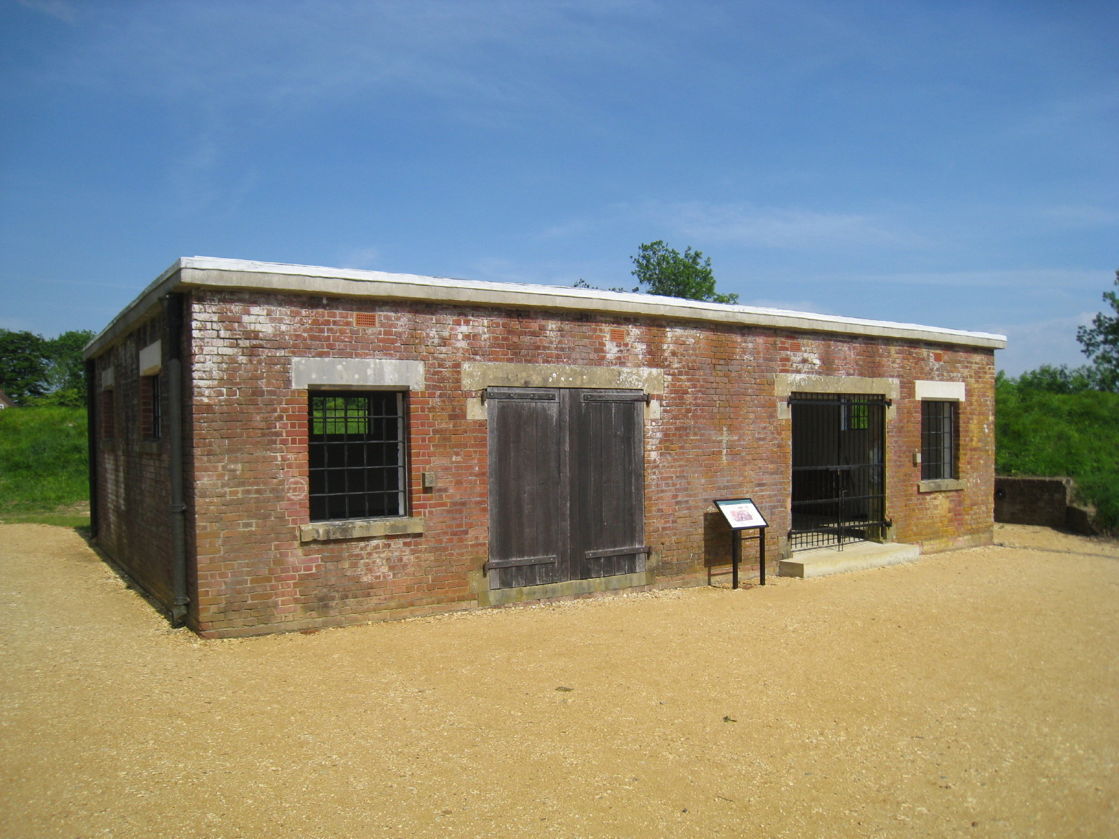
A little further on is Reigate Fort - one of thirteen mobilisation centres that
were built in the 1890s, mainly on the North Downs, to help protect London from
foreign (principally French) invasion, at a time when confidence in the British
navy was low. They were designed as depots to supply mobilised troops with
entrenching equipment and ammunition, but could be used as defensive positions
too.
In the centre of the photo is the magazine, which contains two main rooms - a
cartridge store and a shell store - with passages joining them. Soldiers had to
remove clothes and boots before entering the magazine, to avoid any danger of
sparks setting off the ammunition.

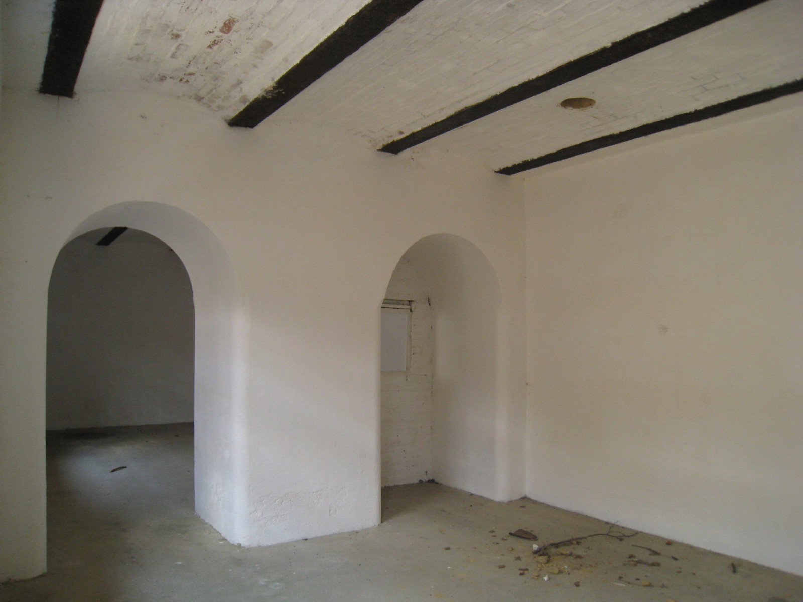
The tool store in the fort.

Inside one of the casemates, originally built to house tools for digging
trenches and clearing ground, but later used to house ammunition.
Now in Gatton Park, a look down at a tree which looks as though it has recently
acquired a family.
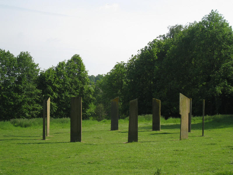
The Millennium Stones, created by Richard Kindersley in 1998-9. Each of the ten
stones is inscribed with words nominally from each 200-year period of the two
millennia (though some are out of their time). The quotations are well chosen
and it is quite an inspiring spot to spend a while in contemplation.
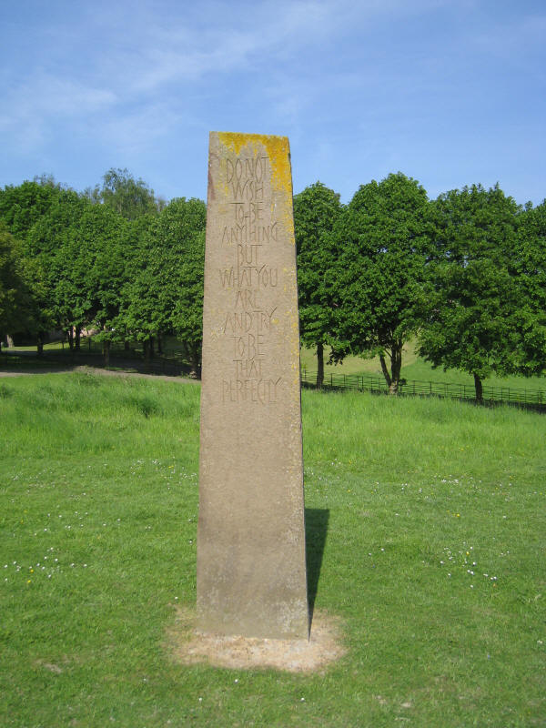
Stone 8: "Do not wish to be anything but what you are and try to be that
perfectly" - Saint Francis of Sales.
After the North Downs way has passed through the grounds of Gatton Park school,
which was a somewhat odd experience, we emerge onto a little lane with
buttercups in profusion around us.

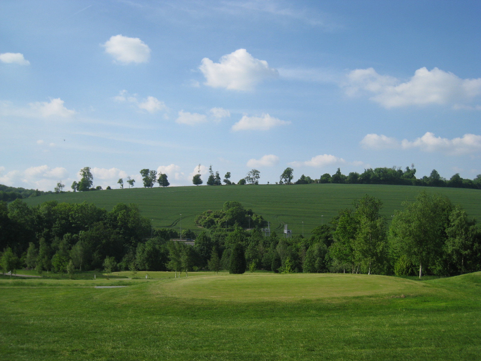
Reigate Hill Golf Course is our last of the day, and the M25 just comes into view after toying
with the route for a while. Fortunately it doesn't really intrude into this
walk.
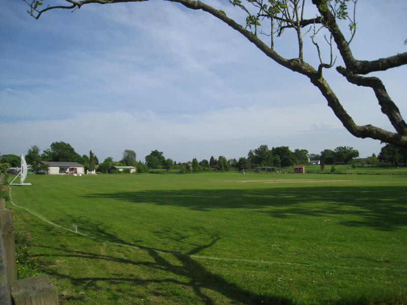
Merstham cricket club shows that we are nearly at the end of our walk, which has
been absolutely delightful, and thoroughly recommended.
Total distance on the GPS was 17.3 km (15.4 km on the Way) with 629 m ascent, in 4 hours
28 minutes - that means that
about 68% of the
North Downs Way is now walked.
 

|