Peak District:
Dovedale, Castern Hill and Milldale from Ilam
11 March 2007
A beautiful warm early spring day saw Stephen and George make a trip to the Peak
District
After a very muddy crossing of farmland from the Thorpe Cloud car park, we
gently descend into Ilam village. The village was created by Jesse Watts
Russell, a wealthy industrialist, who rebuilt the existing village in the 1850s,
out of sight of his Hall.
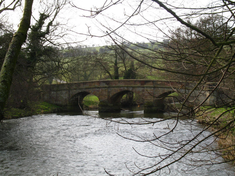
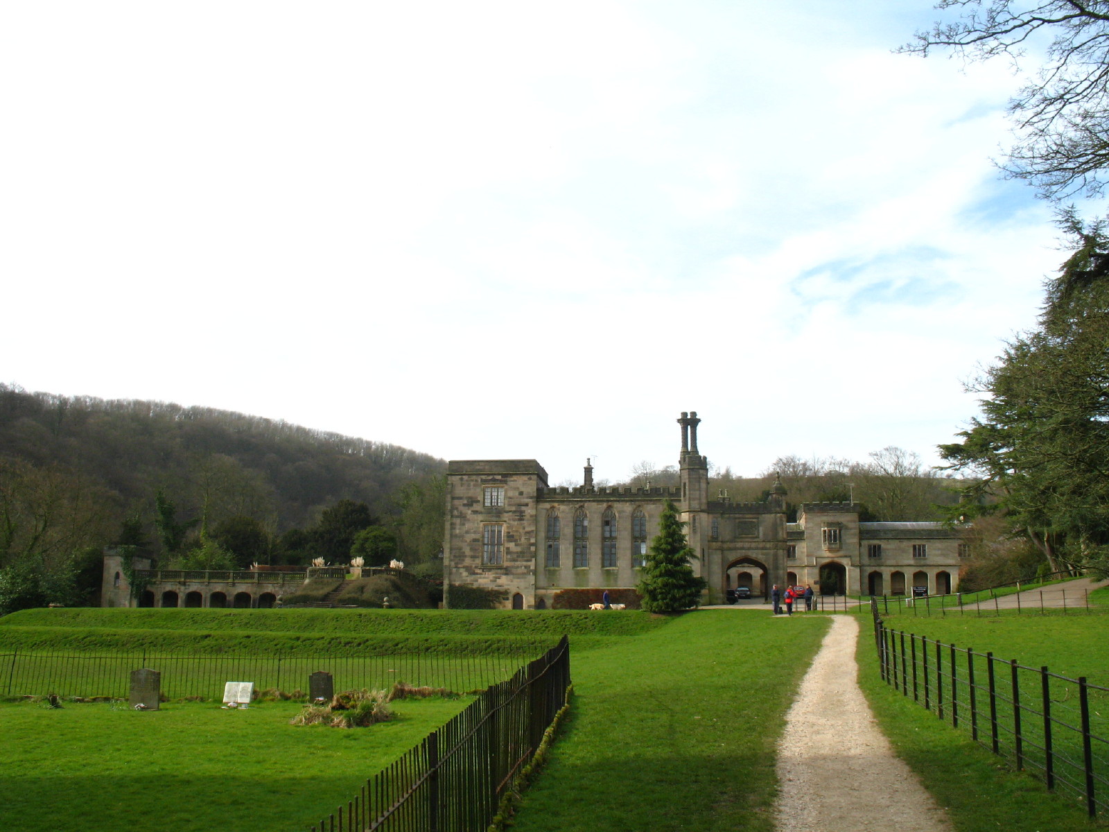
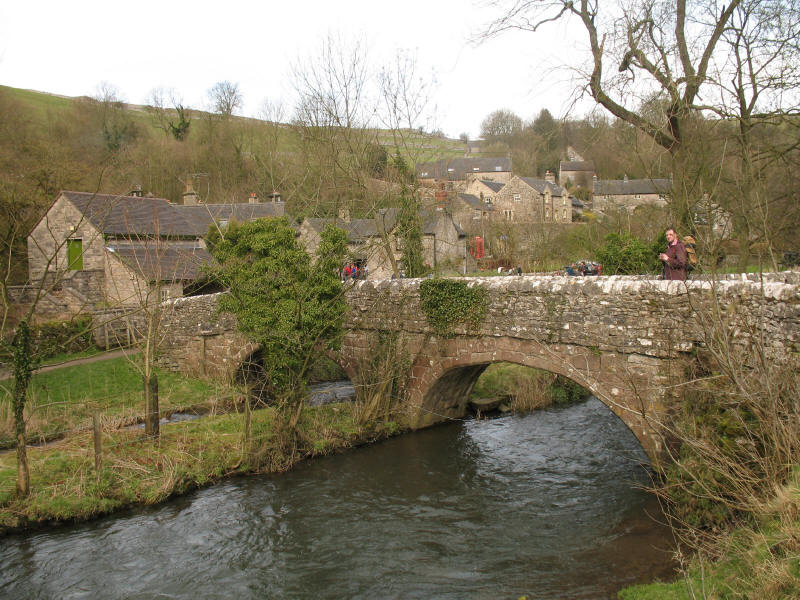
The bridge over the River Manifold at Ilam
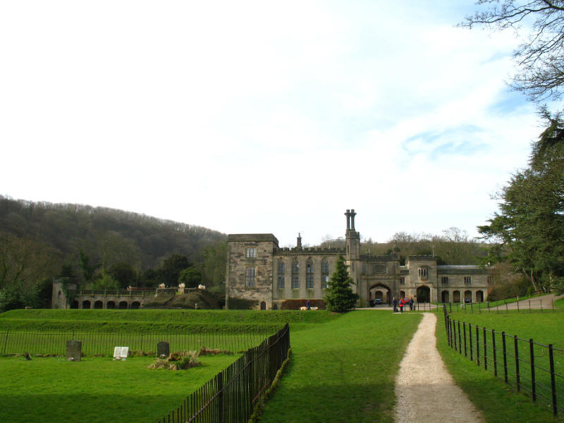
Ilam Hall, rebuilt in the gothic style in the 1820s by Jesse Watts Russell. It
is now owned by the National Trust, and part of it is a Youth Hostel.
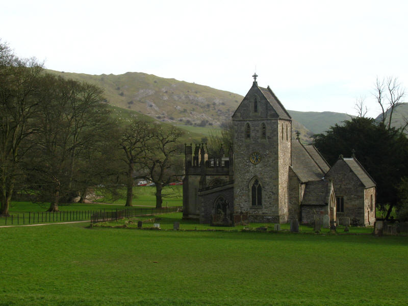
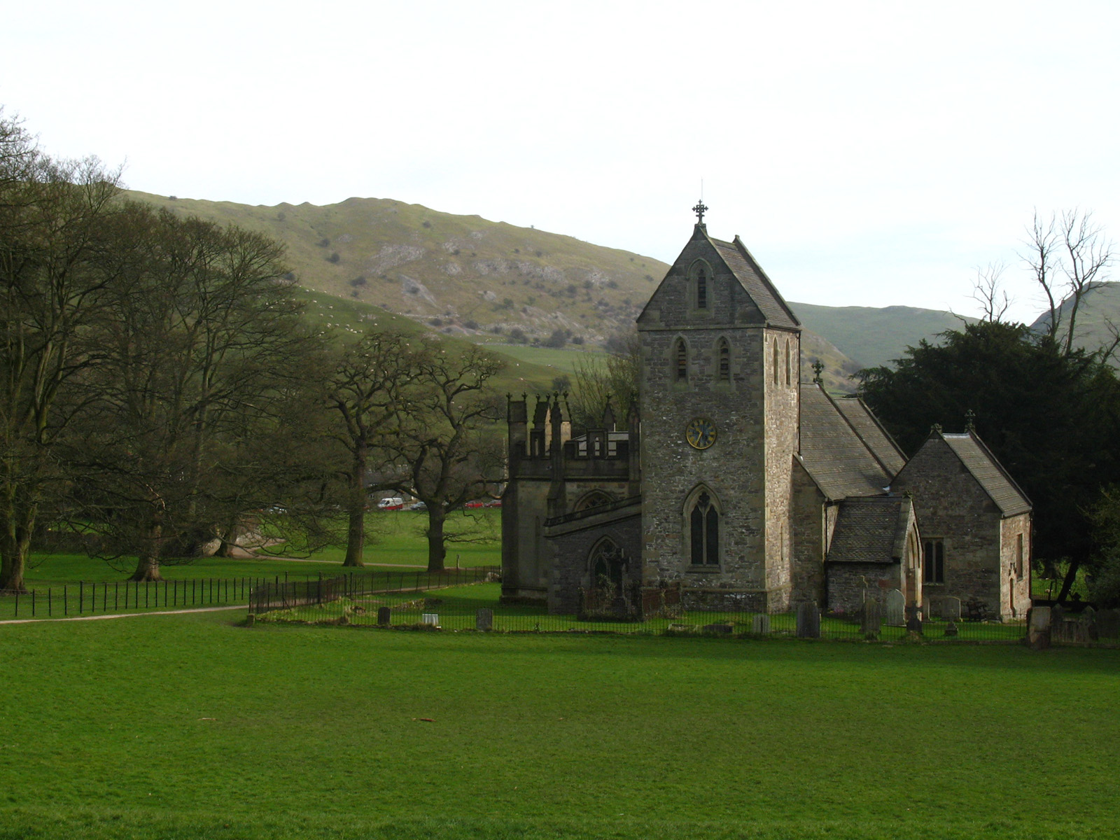
Ilam church - on the left (north) side is an octagonal memorial chapel to Jesse
Watts Russell's father-in-law.

Ascending from the valley of the River Manifold, we begin our cross-country
journey towards the village of Stanshope
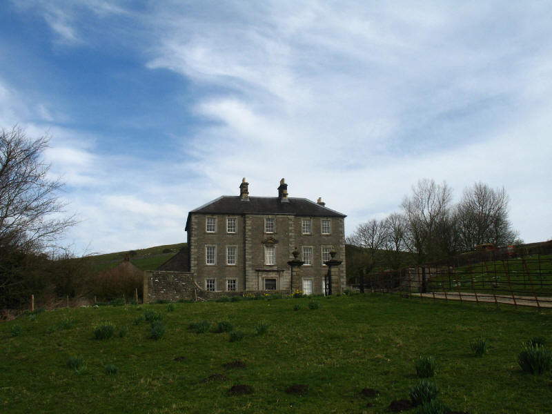
The Georgian house of Castern Hall dates from 1660 and was the home of the Hurt
family for around 300 years.
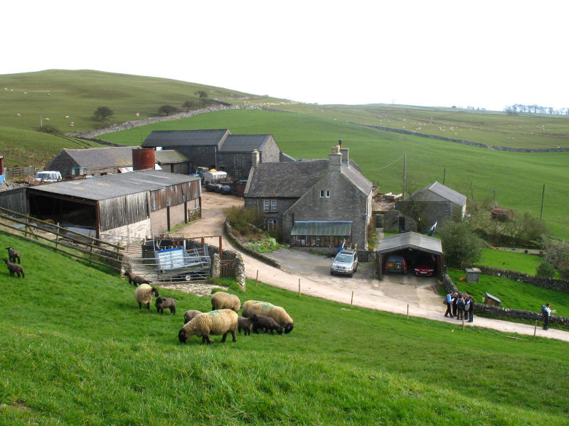
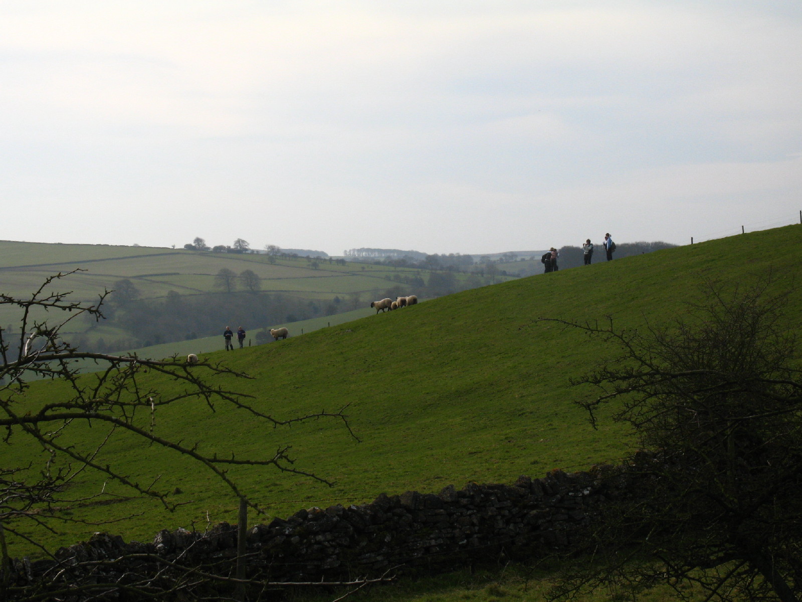
Looking down on Castern farm. The public footpath, having followed the farm road
for over a kilometre from the valley road, and toured round three sides of
Castern Hall, abruptly leaves the farm road and climbs up this hillside, across
a stile through a wall, then back across that wall and down the hill again to
near that white Range Rover, reappearing as those two grooves in the field above
and to the left of the farm buildings. The group of schoolgirls on the track
below are confusedly consulting their maps, having reached the "private no
access" sign: this was followed by some pointing at the man with the dog!
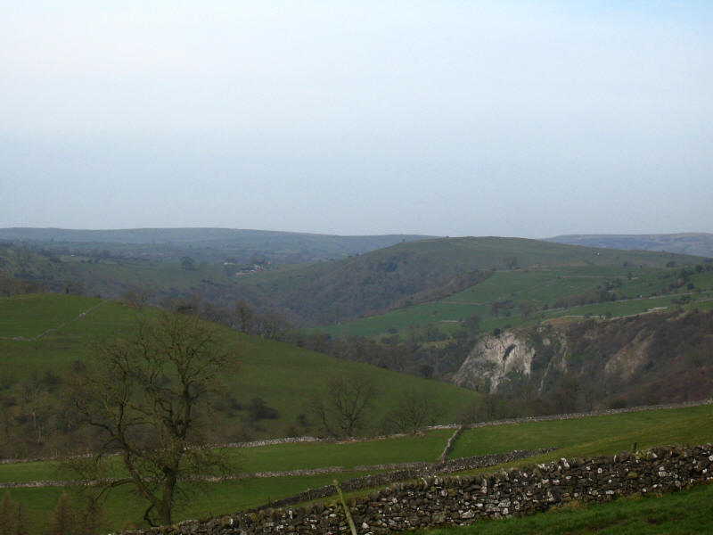
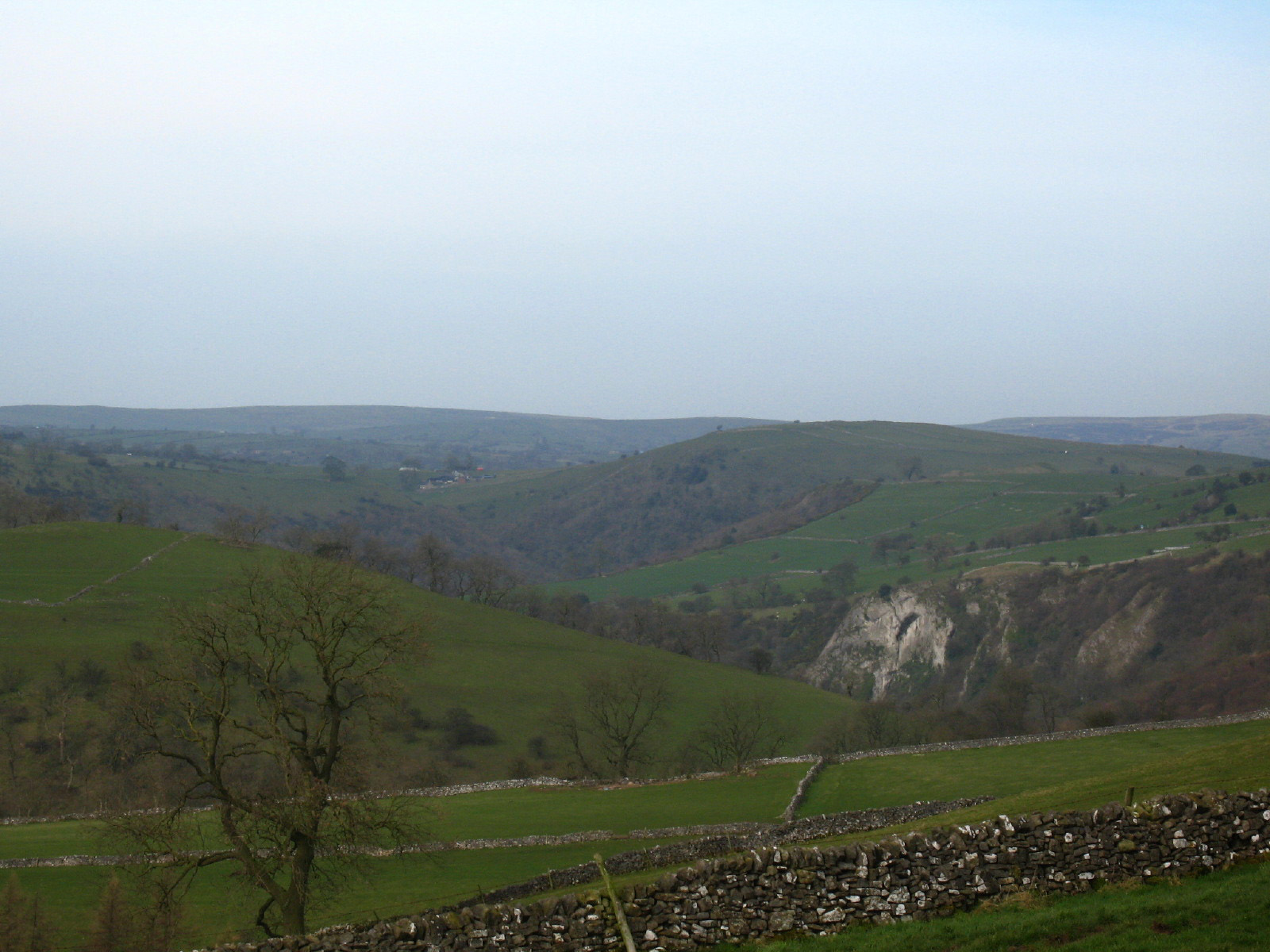
Before we descend back towards the farm, a look down into the Manifold valley
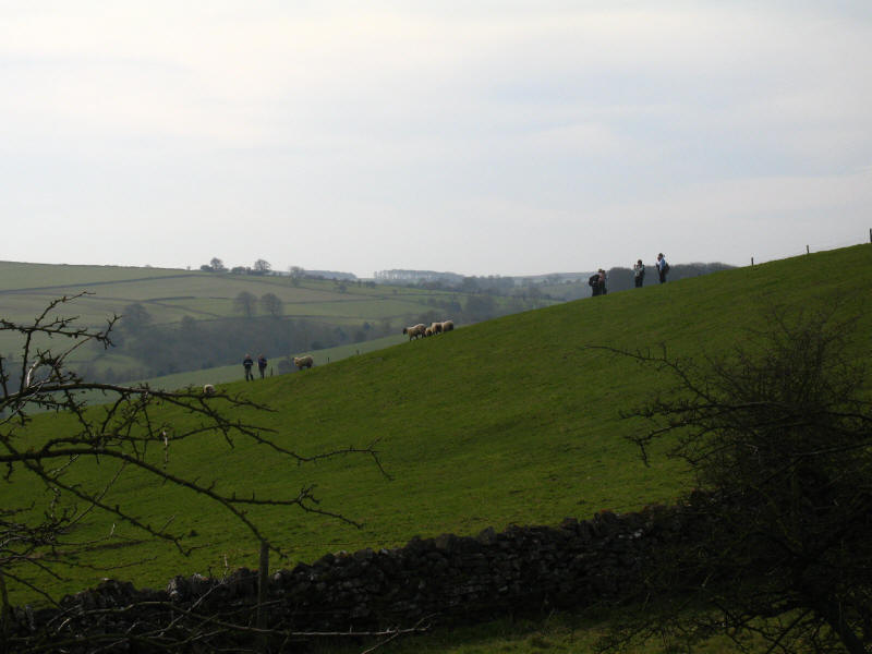
Having made it successfully around the farm and on our way towards Stanshope, a
look to the west finds that school party once again standing around uncertainly
looking at maps. They are on the track that leads north, but it isn't a public
footpath - whether they were intending to go my way towards Stanshope or the
other way towards Wetton, I don't know.
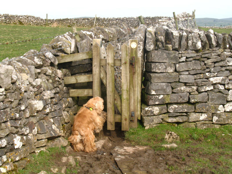
George tries to open one of the many stile-gates to be found on this route.
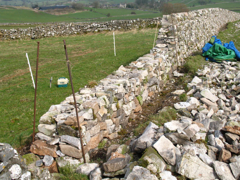
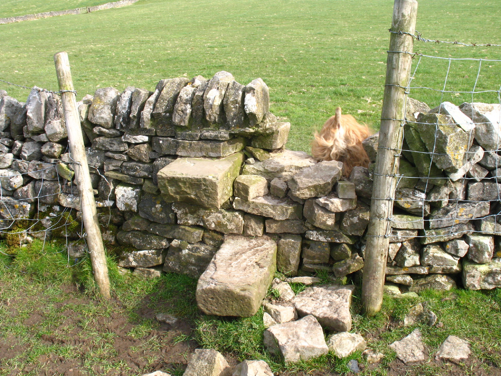
One of the glories of the White Peak area is the bright limestone walls.
Unfortunately, many of them are too short to keep the sheep where they belong,
and so many of these traditional stone walls are topped with barbed wire or an
electrified fence. Here, a rather more expensive but much better solution is
being adopted - an existing wall is being rebuilt, but higher. You can see the
construction of the wall, including its sloping sides.
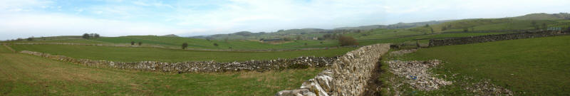
A panoramic view from the same point - click the picture for a larger version.

George disappearing over a stile. He really has got the hang of these, and
disappeared over several that were much higher than this, with no problems at
all.
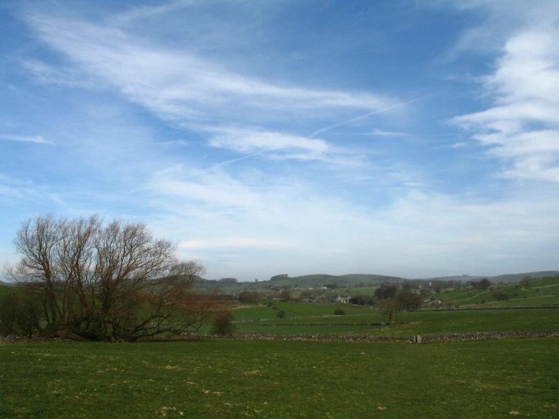
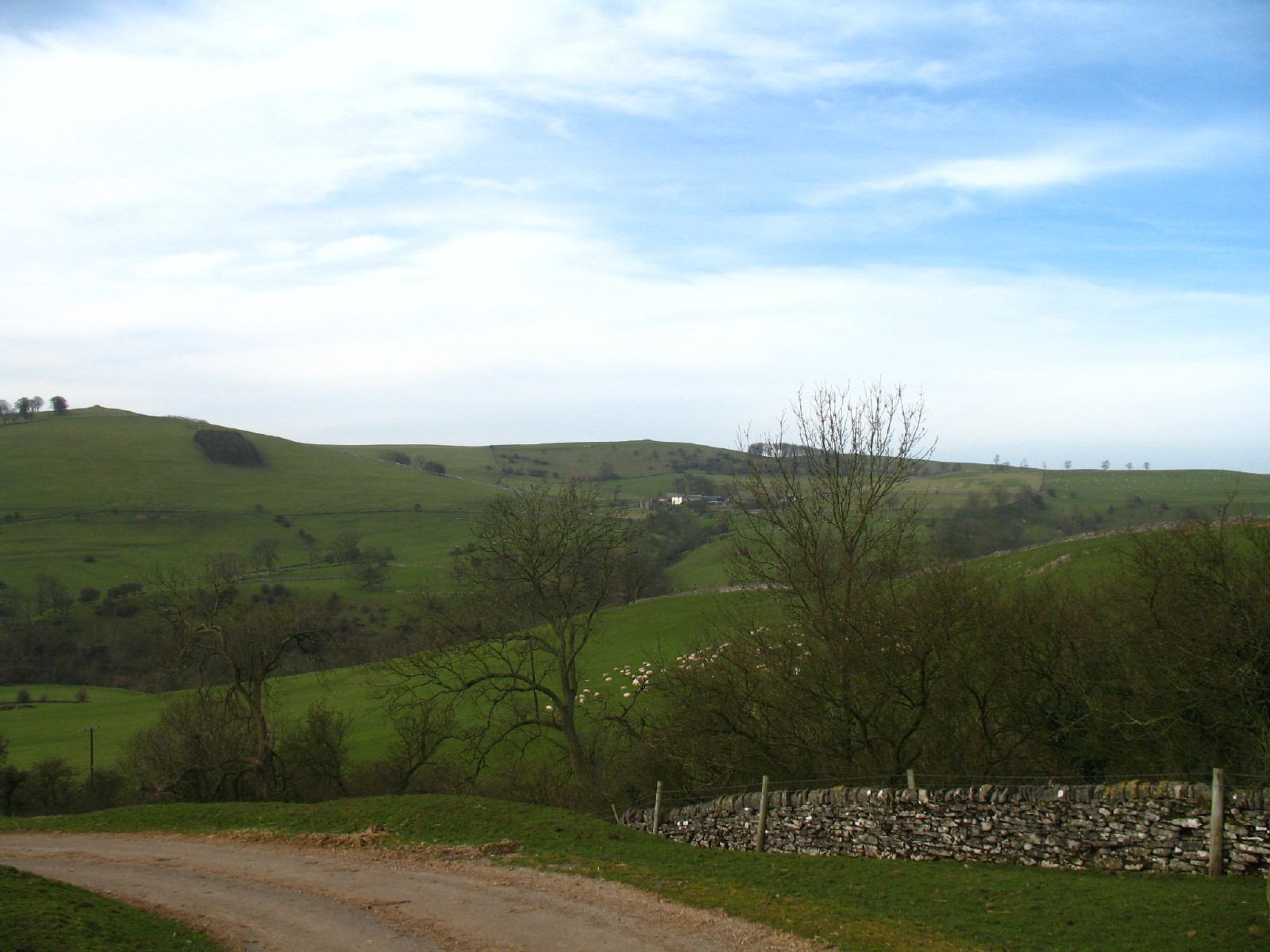
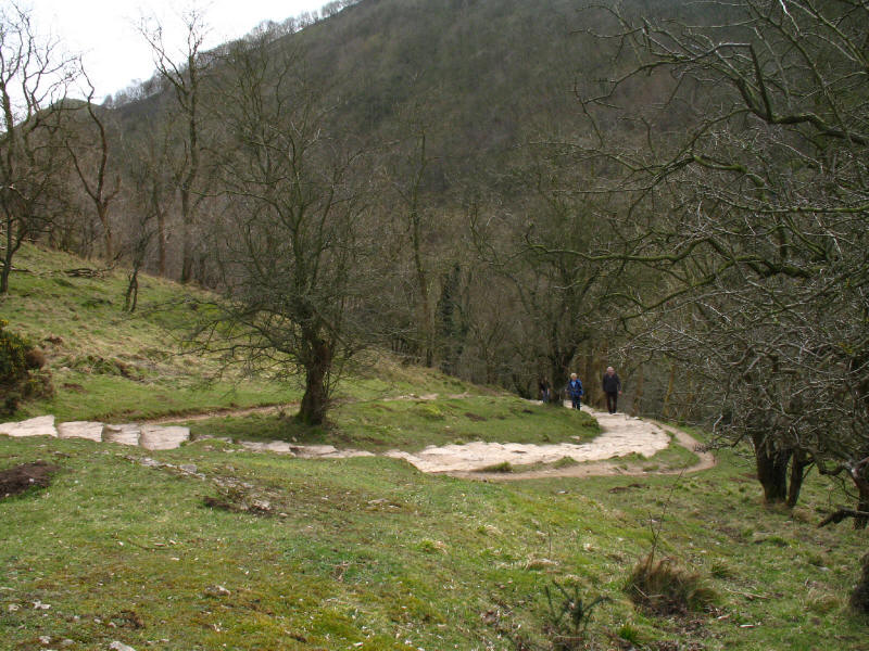
A beautiful spring morning, looking across fields towards Stanshope
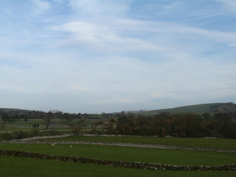
Limestone walls in the White Peak

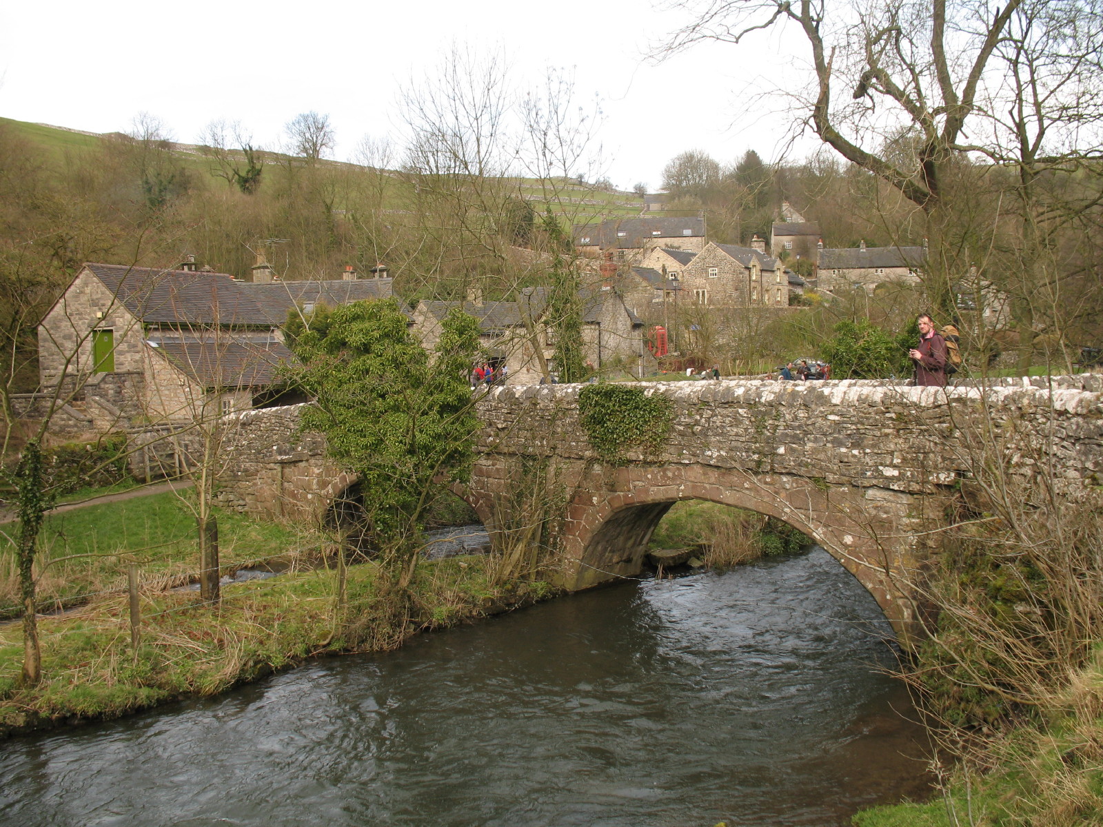
We then reached the River Dove at Milldale, and stopped for lunch
Looking back to Milldale and Viator's Bridge as we begin our walk along Dovedale

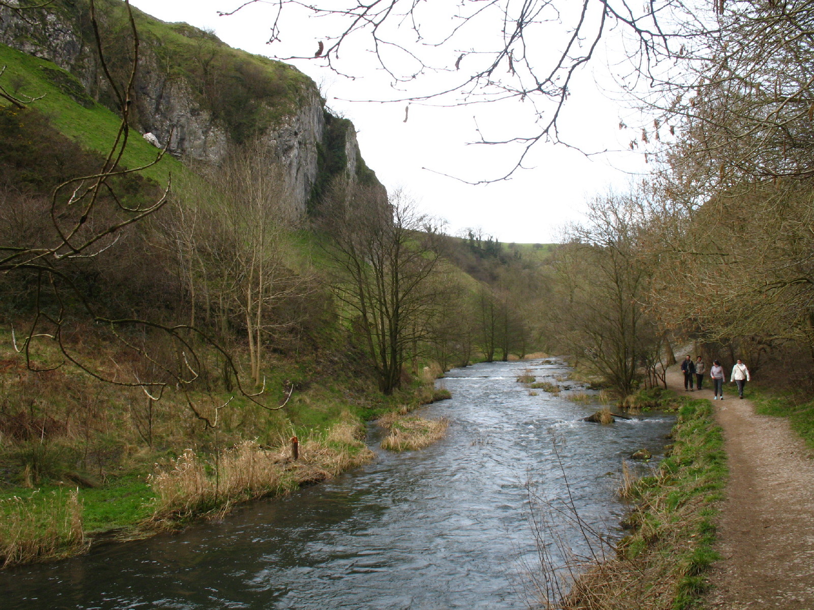
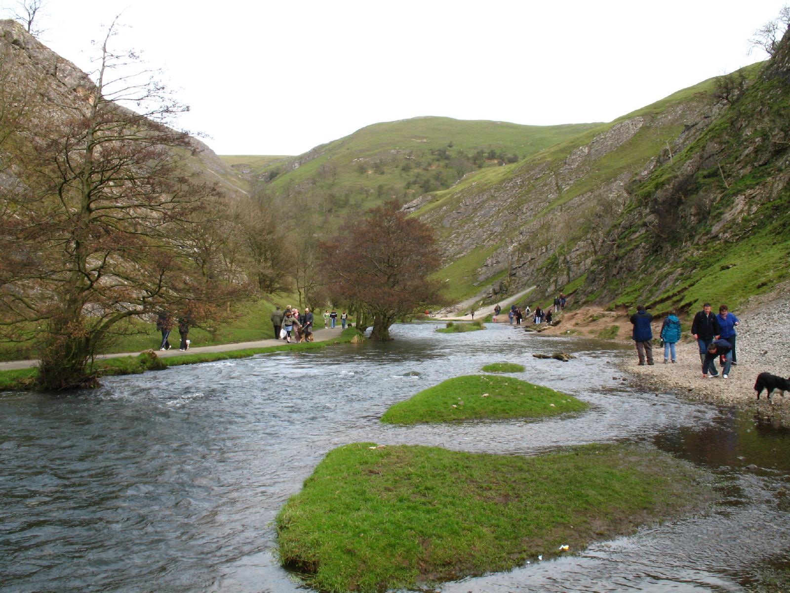
Looking down Dovedale. Much of the path was very easy underfoot...

...and while Dovedale was attractive, the thing that impressed itself most on me
was the number of people. Granted it was a pleasant Sunday, but it was hardly
the peak of summer, and the place was packed. At no point for the rest of the
walk was I ever out of sight of people.
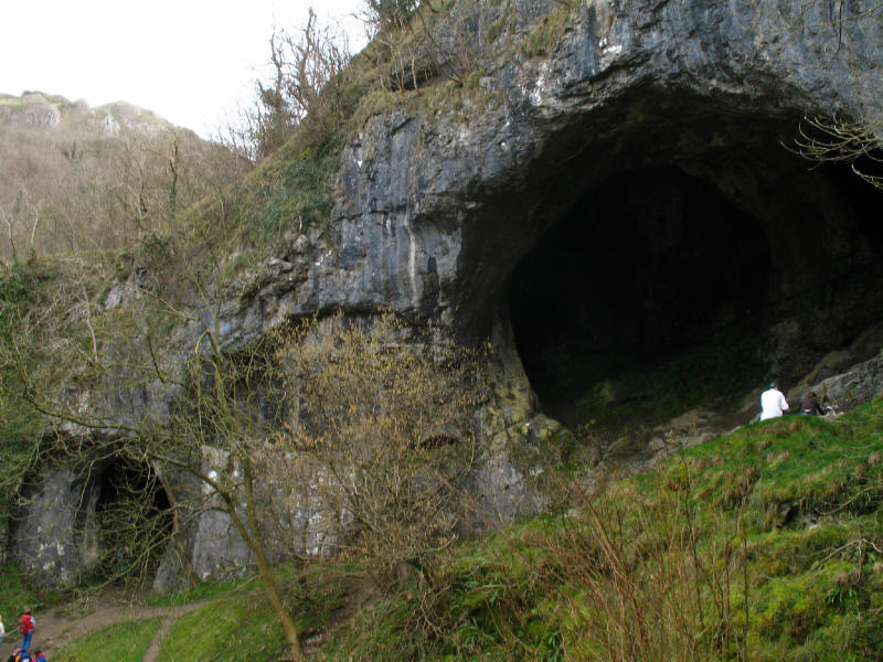
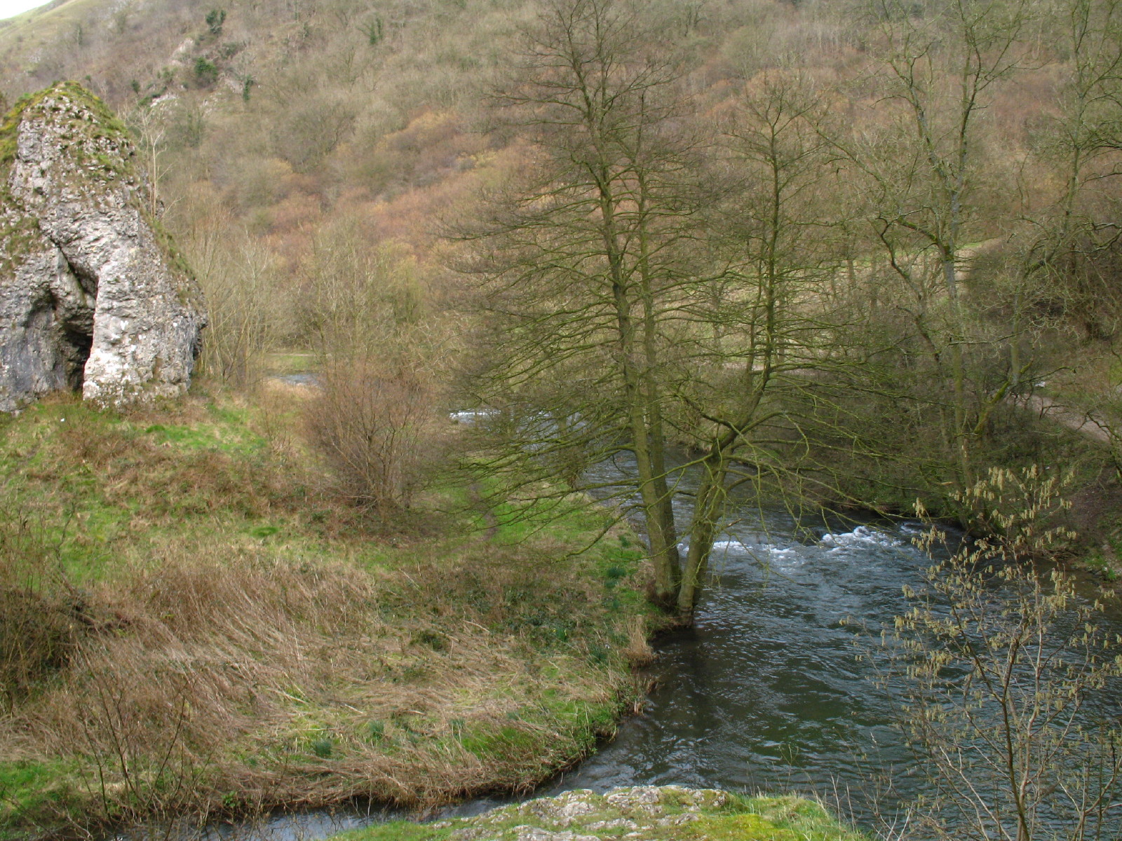
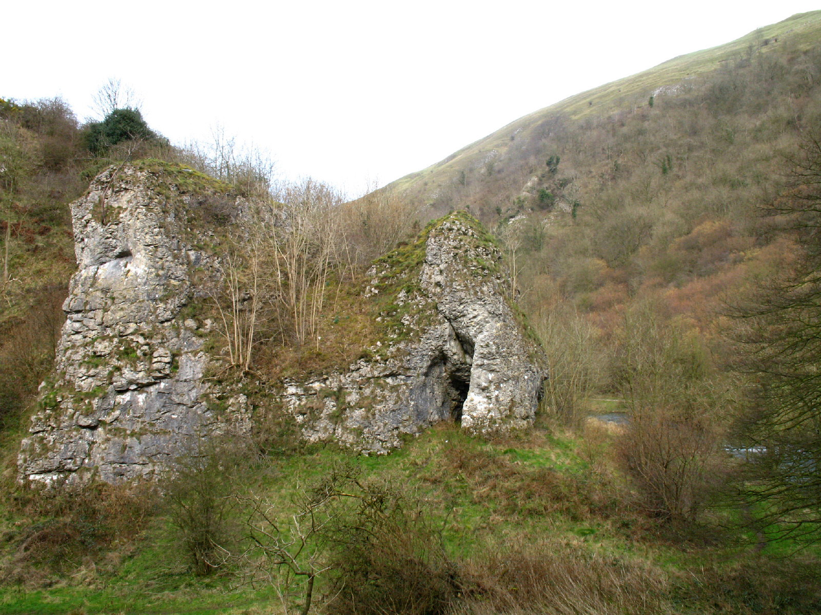
The caves of Doves Holes
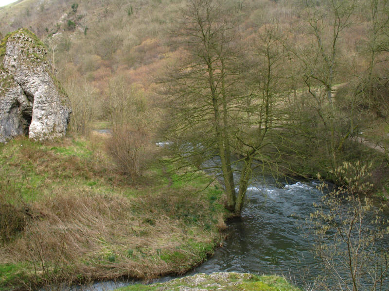
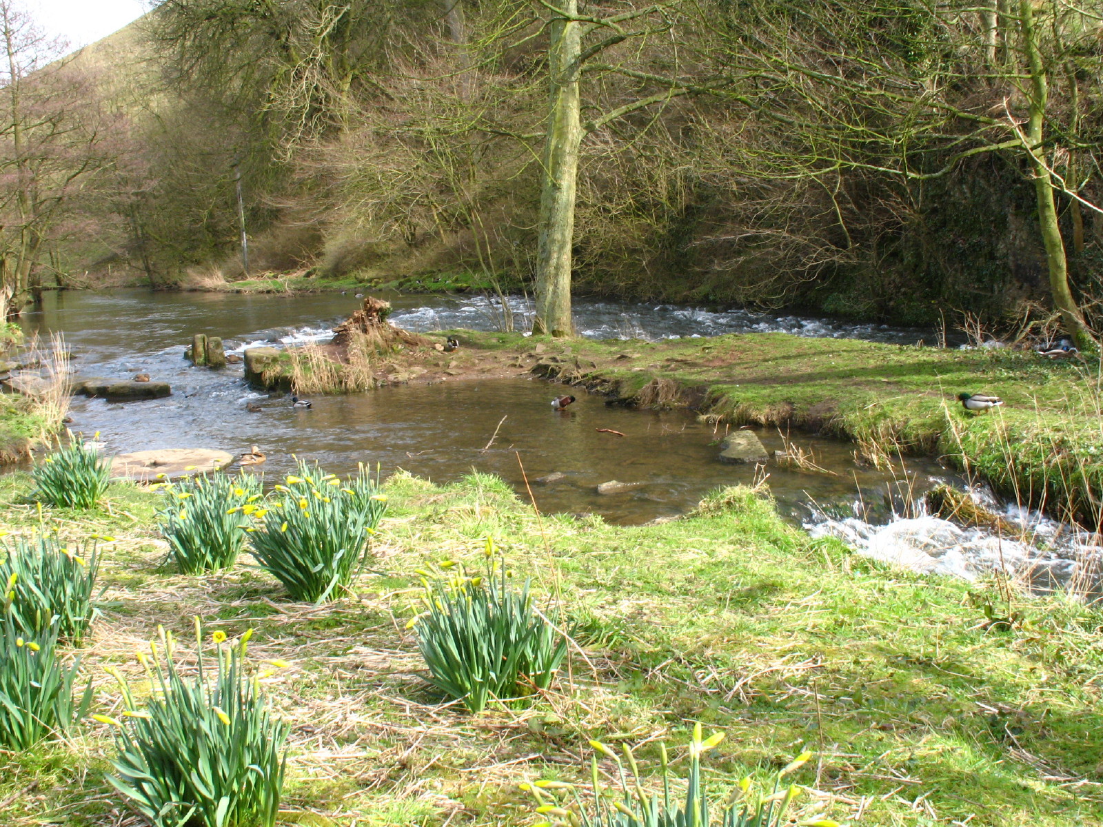
The River Dove. The trees on the valley sides are relatively new - until around
50 years ago, sheep kept the slopes covered in grass, but their removal has
allowed trees to take over.

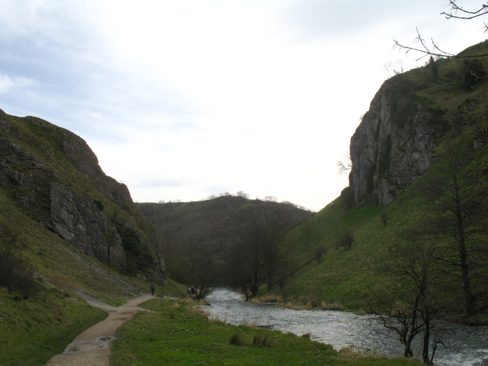
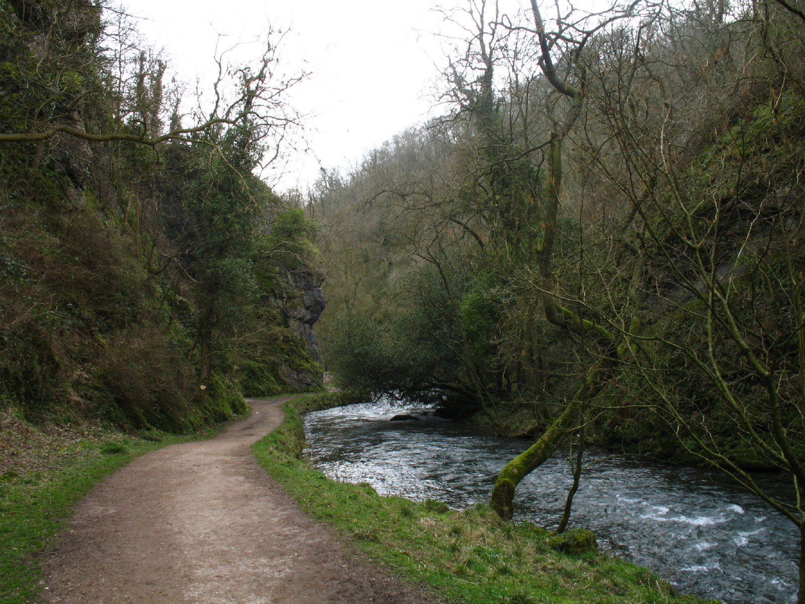
Dovedale
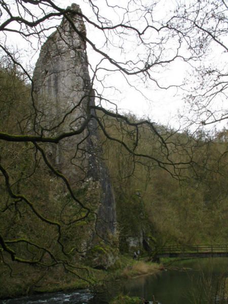
Ilam Rock

The valley narrows around here
George as the valley narrows, first with this constructed path, and in the
distance with a boardwalk carried above the river in places on stone piers
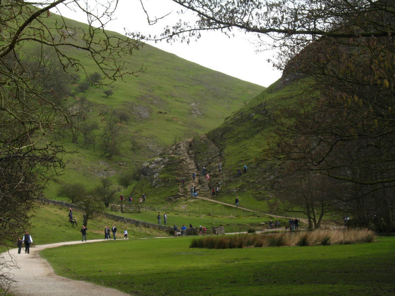
The only mildly taxing bit of the walk down Dovedale is the ascent to the top of
the crag known as Lover's Leap. The guidebook describes it as a superb
viewpoint, but the growth of trees has robbed it of that ability, and you can
now see rather less than in the bottom of the valley
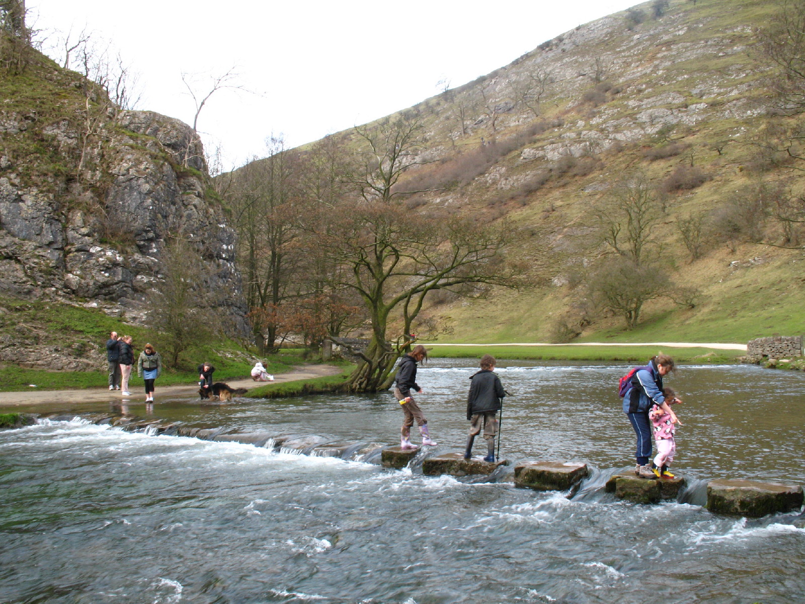
As we approach the stepping stones at the bottom of Thorpe Cloud, the throng of
people gets greater
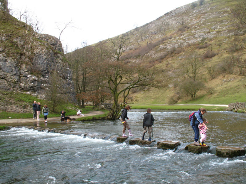
The stepping stones were providing some fun, but no-one was crossing over the
full width of the river. Fortunately a bridge a little further down meant that
we didn't need to make the attempt, which would have been quite a
challenge with such an audience.

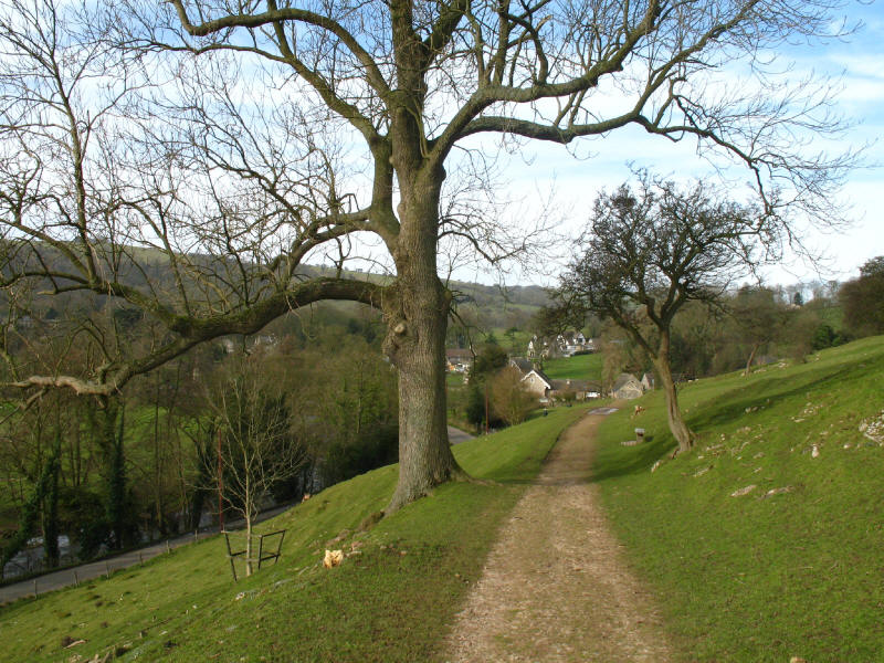
We continue down Dovedale, almost back at the car park. Time for an ice cream to
round off a good day - we had one from the log cabin at the car park (there are
two places to choose from) and it was excellent, and very good value too.
So, a very good walk, but is Dovedale really "supremely beautiful, one of the
loveliest valleys in England"? It would be lovelier when quieter - there was no
sense of exploration with so many people about, but even without them, it felt a
bit like a walk through a park, with 90% of the path being a constructed one.
Although Dovedale should have been the climax of the walk, the pre-lunch part
was perhaps more enjoyable. But still a lot better than lurking around north
London!
Total 13.1km and 312 metres of ascent taking 3 hours 35 minutes (including 45
minutes stopped).
|