Peddars Way
2: River Thet to Stonebridge
10 April 2010
Pleasant spring weather has finally arrived, and while
Lucy and the Cavaliers were at a dog show, Stephen and George went to
the Peddars Way to visit a bit more of our nearest National Trail.
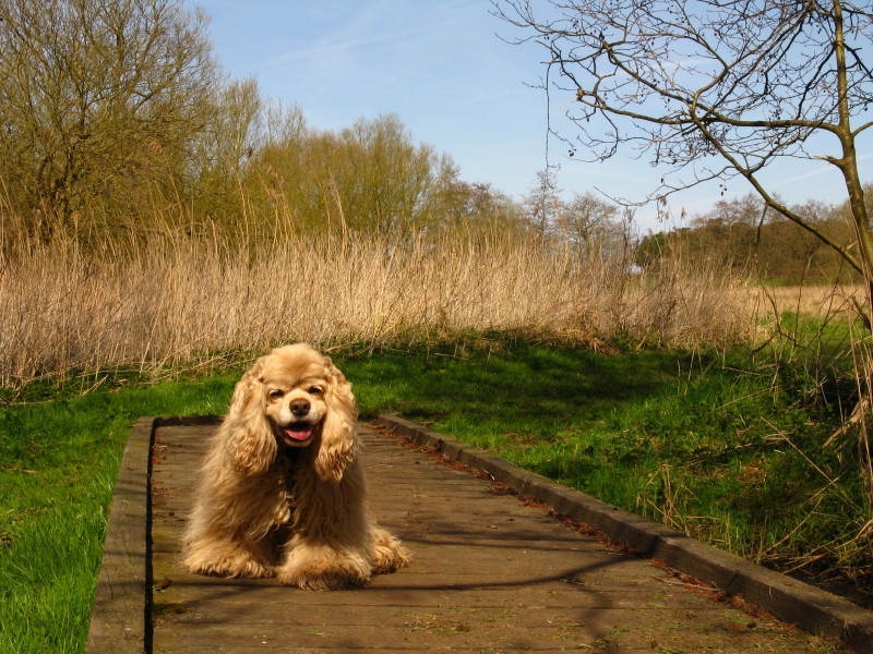
After about 3 kilometres we have reached the point where we finished
last time - and this time the ground is dry rather than under water.
George, the birthday boy, looks cheerful.
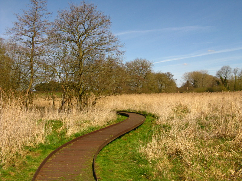
The snaking boardwalk shows that this area is prone to dampness. A chap
with a saw was around the corner pruning the trees to keep the path
clear. There was quite a lot of evidence of grass and other vegetation
having been cut recently - good to see the route well maintained.
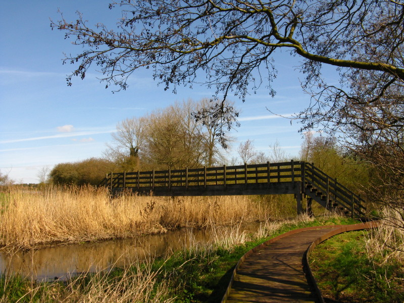
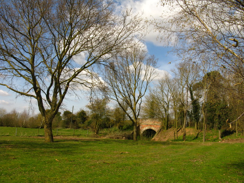
The bridge across the River Thet.
The River Thet
This may need quite a bit of work to keep it clear in time, but for now
the ground-level cutting suffices.
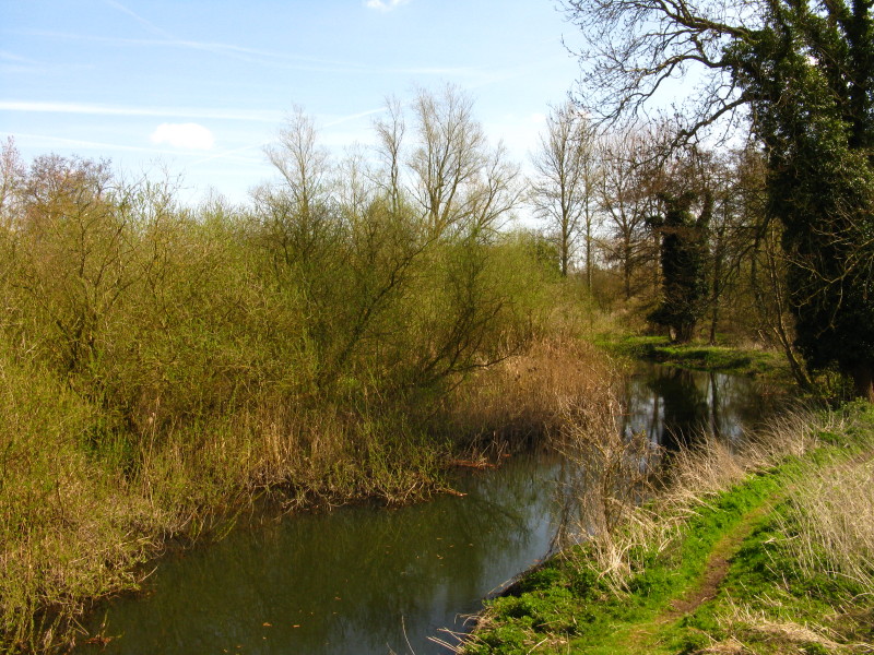
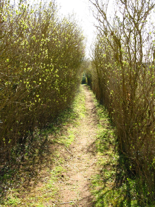
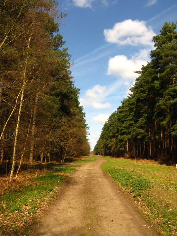
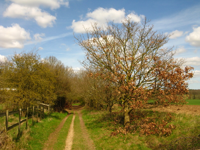
We then pass through woodland for a short way. After a little wiggling
around the river, we are onto the straight Roman route of the Peddars
Way - today's is one of the straightest walks I've ever done on the
macroscopic level, but there were still lots of small deviations which
prevented it actually feeling too straight.
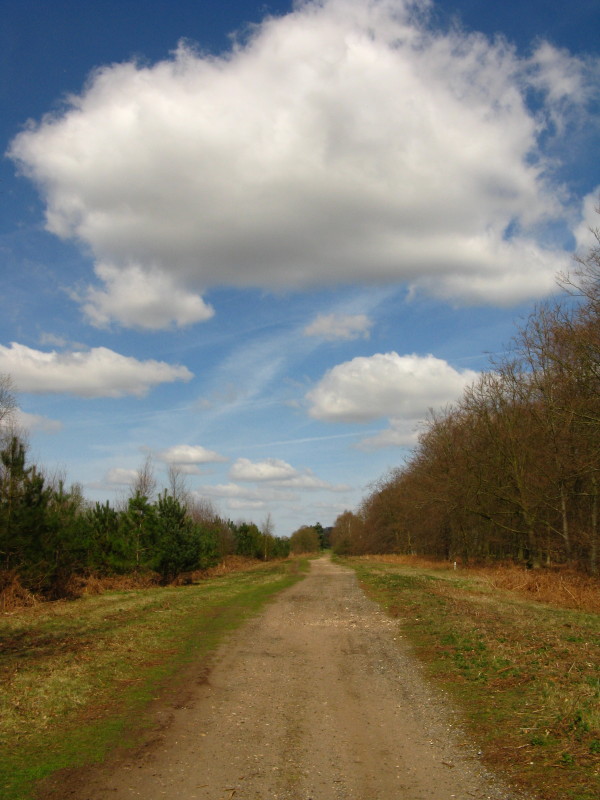
The official route on the right, and the slightly easier route along the
top of the gas pipeline
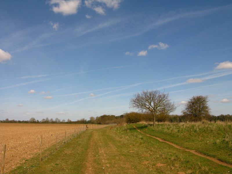
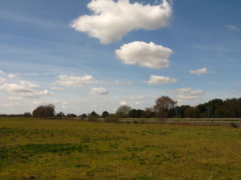
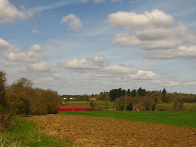
Brettenham Heath, and almost time for lunch
The busy A11 dual carriageway crossing Bridgham Heath - there was need
for great patience and care to cross this on the level.
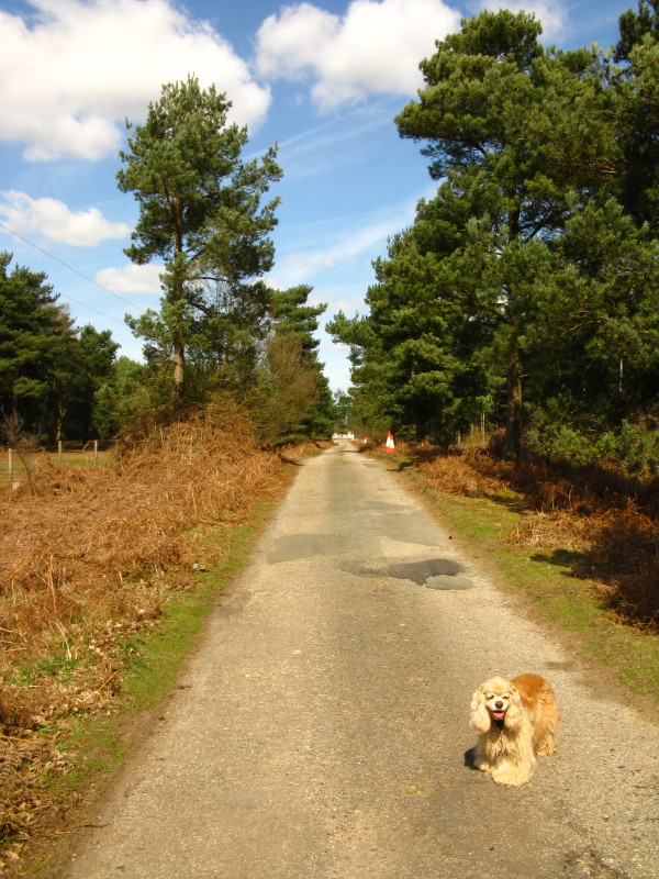
George, safely on the other side of the dual carriageway and off the
lead again.
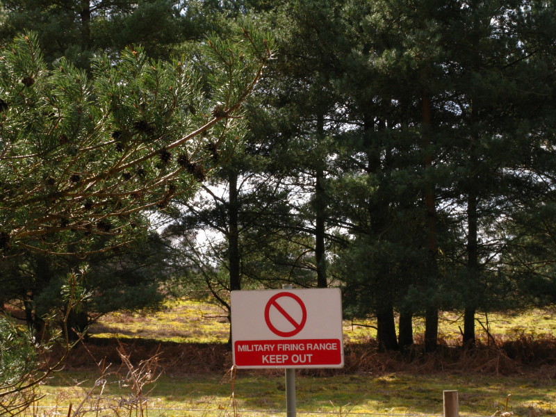
Watch out!
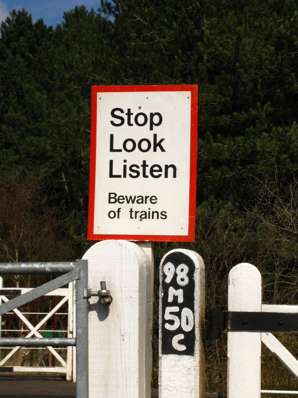
It's 98 miles and 50 chains from London as we cross the Ely to Norwich
railway at Shadwell Crossing.
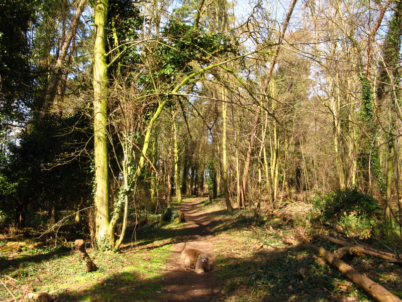
The Forestry Commission woodland on Roudham Heath has a mixture of
scenes to offer...
...including some new plantings and deciduous trees...
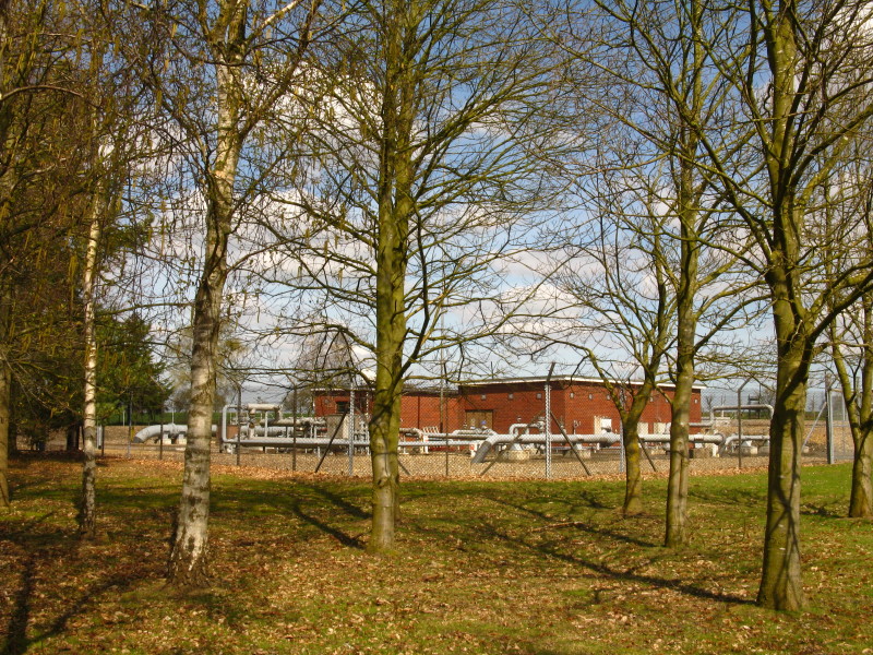
...and a gas pumping station as we continue to follow not only the Roman
road but also the gas pipeline.
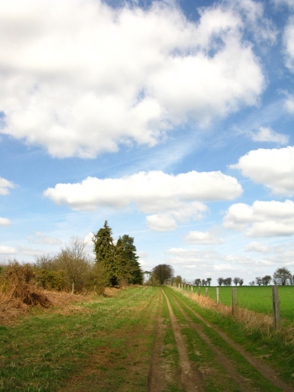
Leaving woodland behind the scene opens up
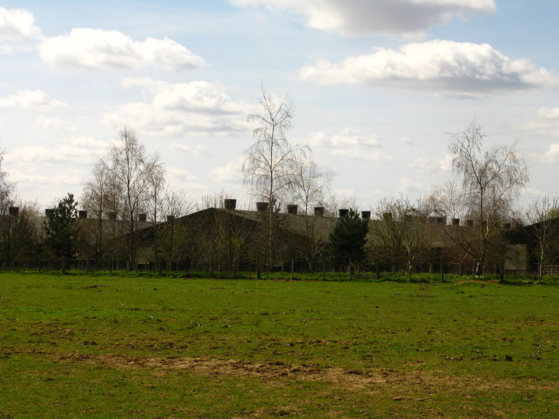
Chicken sheds on the far side of the trackbed of the old railway
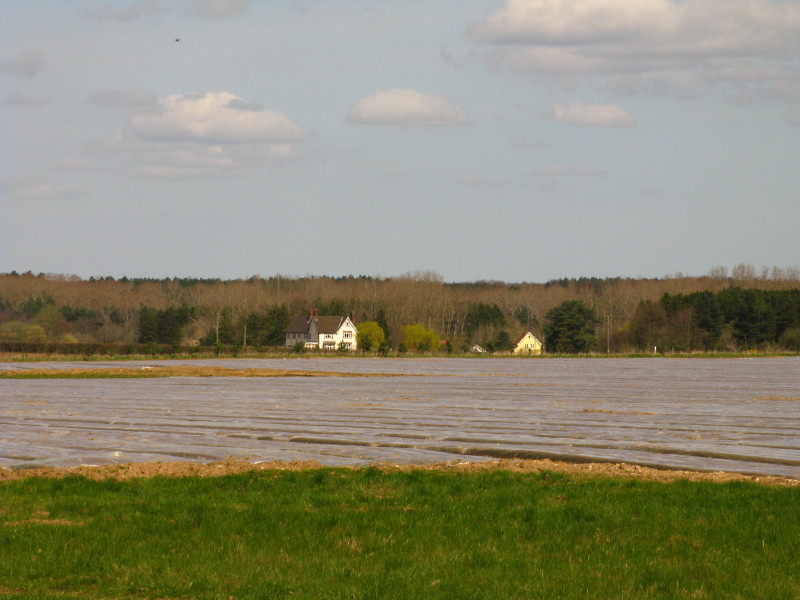
Farmland on one side
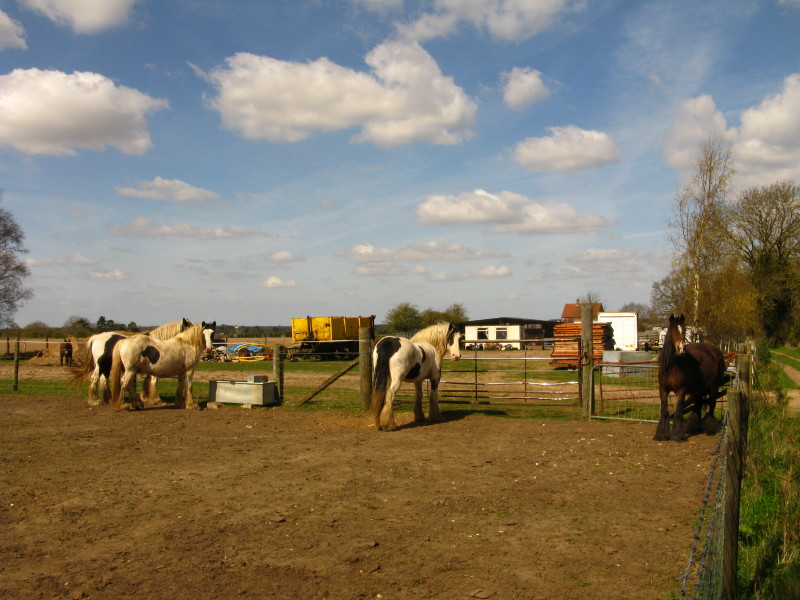
And heavy horses on the other
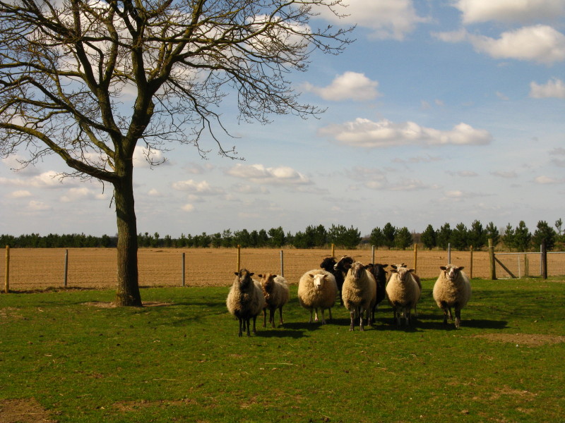
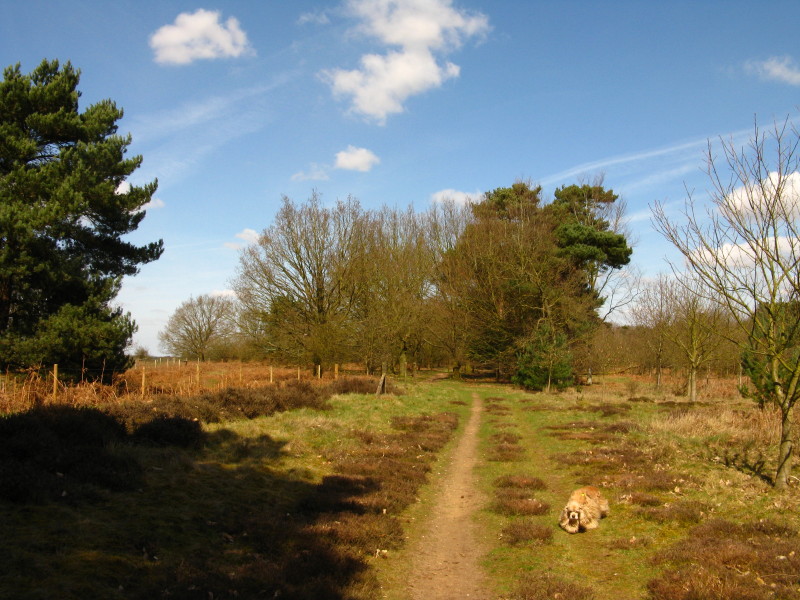
Sheep and goats next
A bridge over the trackbed of the former railway from Thetford to
Swaffham - which earned a special mention as a loss-making route in the
Beeching Report with trains averaging nine passengers each.
Farm buildings as we approach Stonebridge
The path descends gradually towards Stonebridge
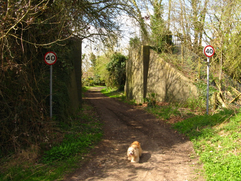
And suddenly our path has a 40mph limit as it drops beneath the old
railway line
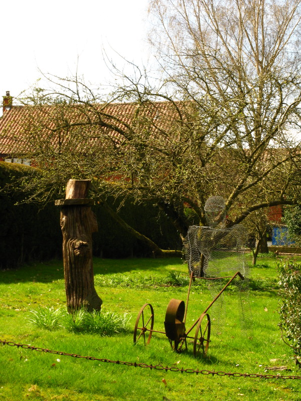
An interesting tree stump and a wire sculpture in Stonebridge
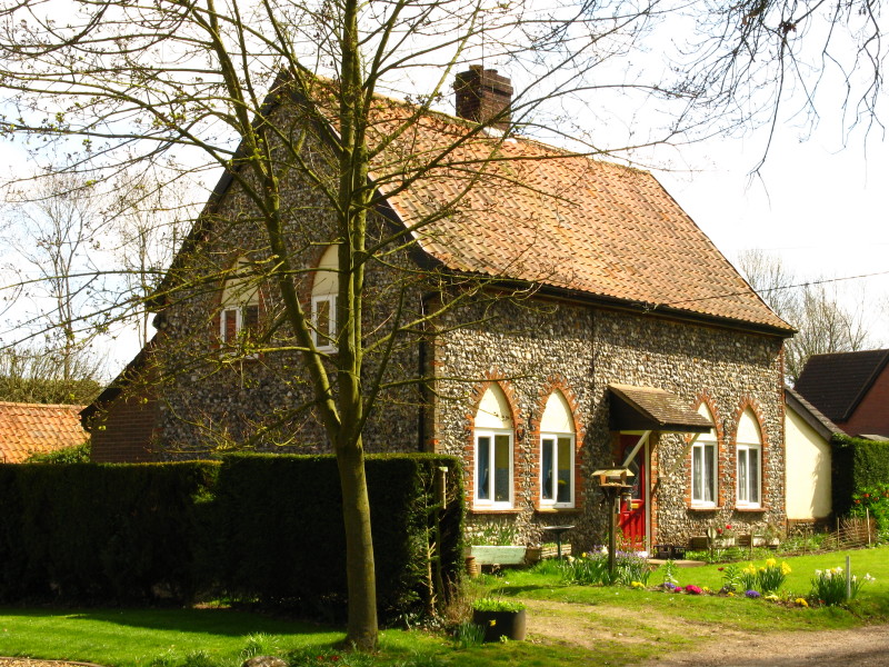
An attractive flint cottage
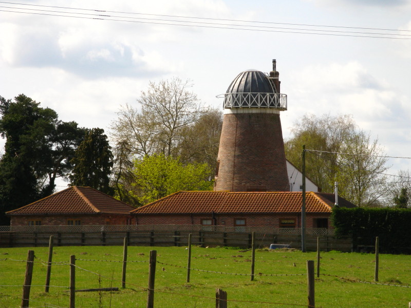
Windmill between Stonebridge and Wretham
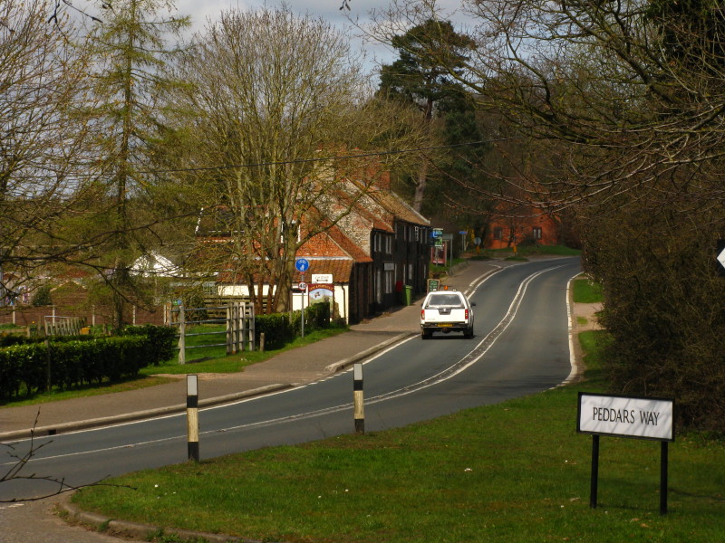
The route of the Peddars Way continues briefly along the A1075, but here
we turn round and retrace our route back to the car.
Total 14.6 km, (7.1 km progress along the Peddars Way) in 3 hours
28 mins.
Last time I commented that this route didn't feel nearly as straight as I'd expected from the map,
and today was even straighter but again didn't feel a less interesting walk as a
result. And I was right that, like most walks, it came into its own in drier -
and sunnier - weather.
|


