Ridgeway - Bury Down to North Stoke
2 May 2011
A little over two years have passed since the last visit to The Ridgeway - the
move to Suffolk in 2009 makes it further away, but with Lucy taking Ellie and
Hetty to a dog show in Berkshire, Stephen and George took advantage
of a lift to return to the Ridgeway National Trail,
picking up just to the west of the A34 at Bury Down.
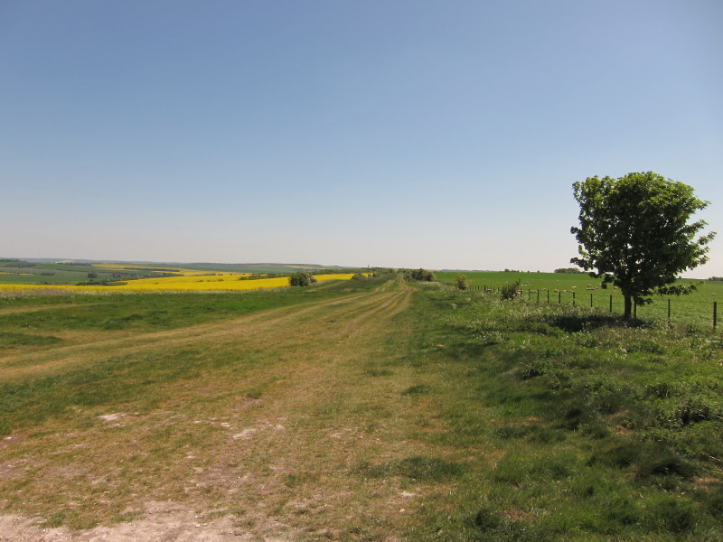
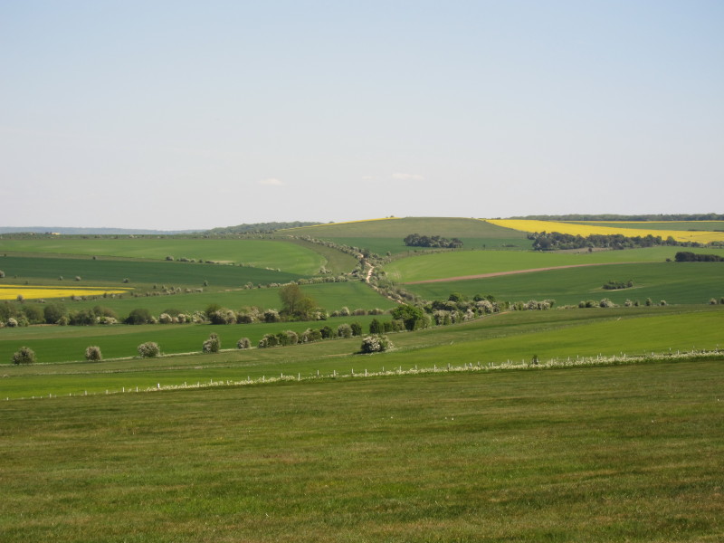
On Bury Down, looking east along our route. The Ridgeway here is very wide - a
reflection of its importance as a route when the Enclosure Acts took effect.
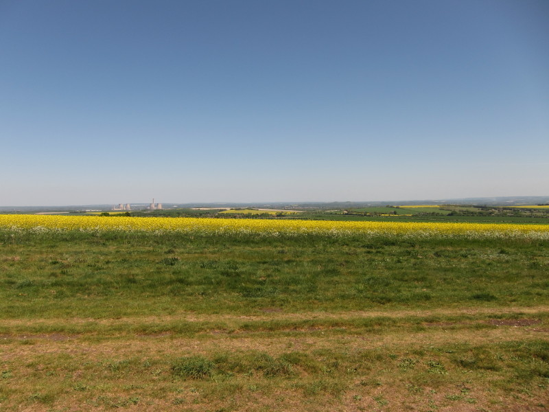
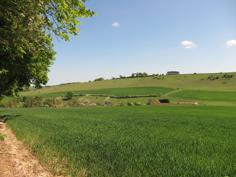
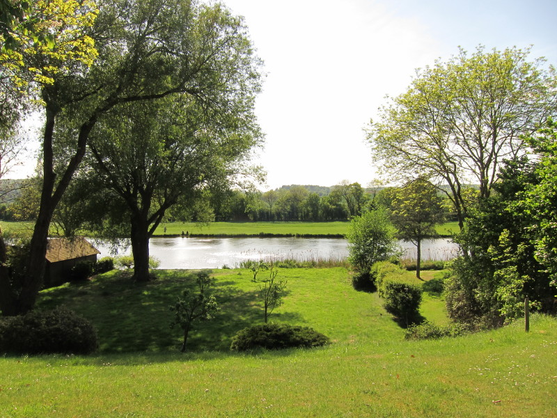
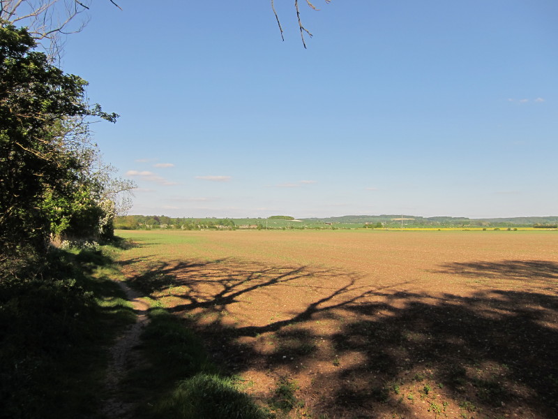
Looking north to Didcot power station and the extensive farmland
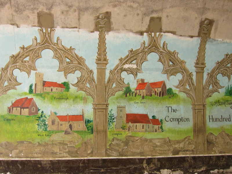
The underpass beneath the A34 dual carriageway has some lovely paintings, most
now wantonly destroyed by graffiti, but this section remains undamaged.
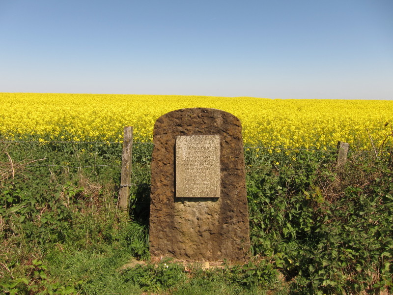
"Near this stone Hugh Frederick Grosvenor 2nd Lieutenant The Lifeguards lost his
life in an armoured car accident while on military duty
9th April 1947 aged 19 years."
The Ridgeway snaking away into the distance
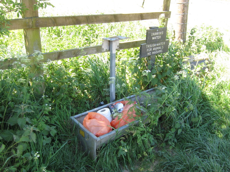
A drinking trough was marked on my map, and I had hoped for and expected
something ancient, solid and impressive. This was not any of those things.
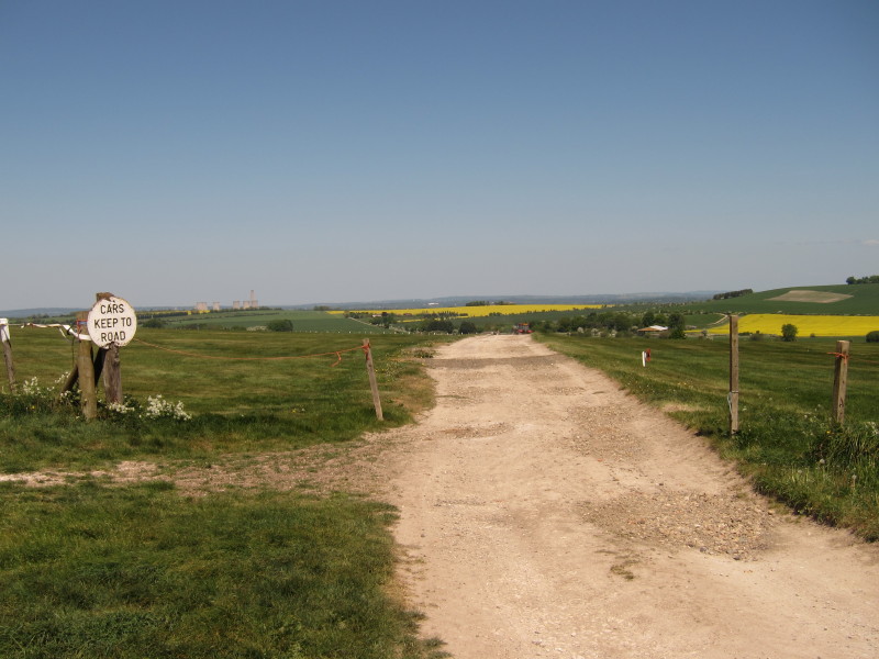
"Cars keep to road" says the sign, and that is the road, or more accurately a
byway.
Here the Ridgeway turns sharp left, and I passed a cyclist who was relieved to
discover he was on the right track.
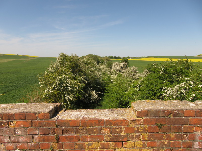
A stop for lunch on the bridge over the route of an old railway line
Lowbury Hill, left, as the Ridgeway bends to the right
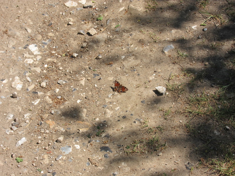
I (unintentionally) chased this butterfly a long way along the track, as every
time I approached it flew further along the track and then settled on the
surface again, only to fly further as I approached. Eventually I got close
enough to get a photo before it finally found its way over a hedge.
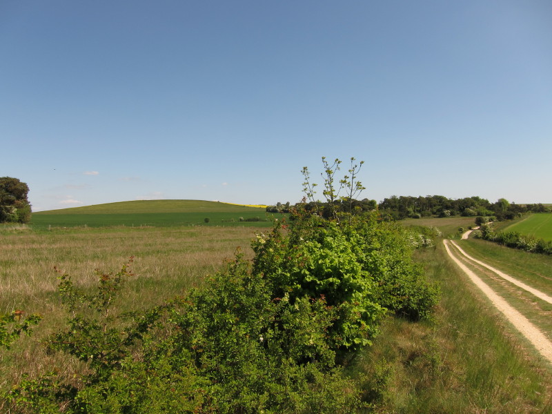
Looking across the delightful depression of Streatley Warren...
...as the Ridgeway gradually makes its descent into the Thames valley
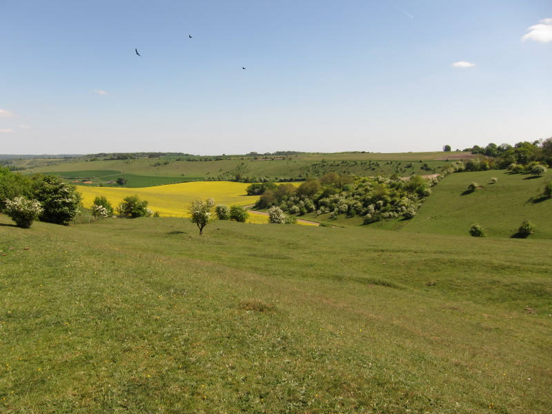
Time for second lunch, overlooking the buildings of and around Warren Farm
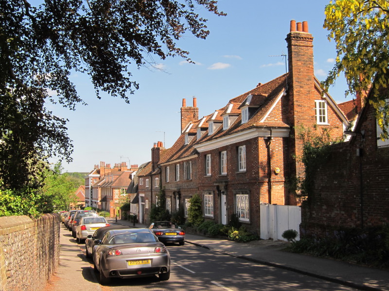
There was a longish walk along a quiet lane which joined up on the edge of
Streatley with the much busier A417 Wantage Road which merged with the A329
Wallingford Road. We then turned left along High Street
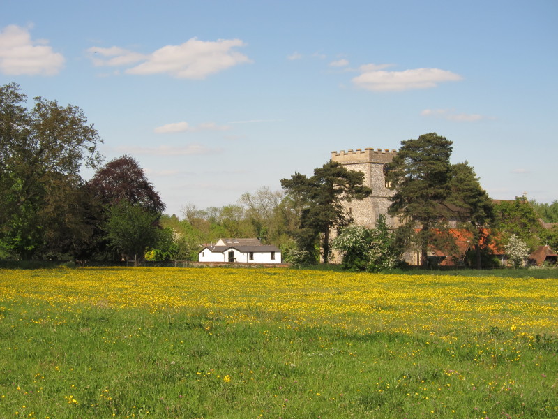
Streatley church
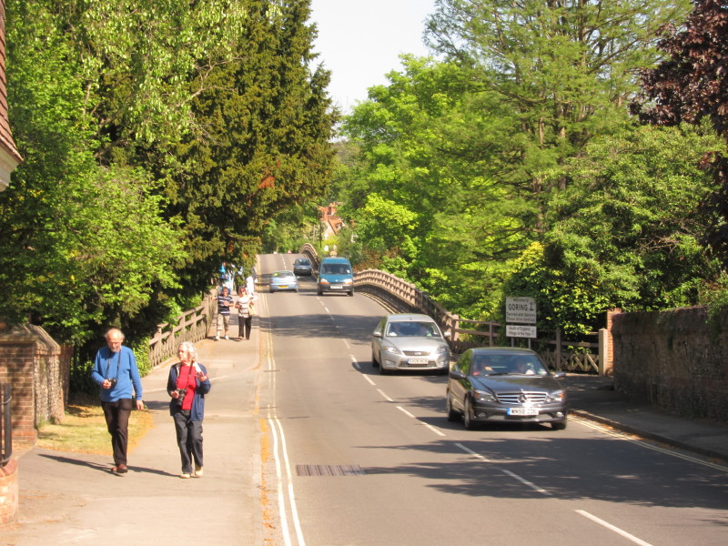
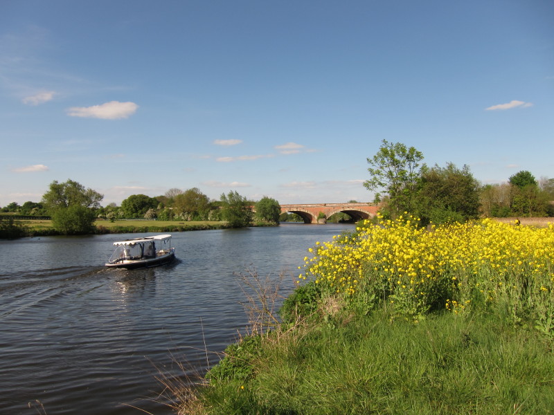
In addition to being on the Ridgeway, we are also briefly now on the Thames Path
which takes this double bridge over the Thames into Goring.
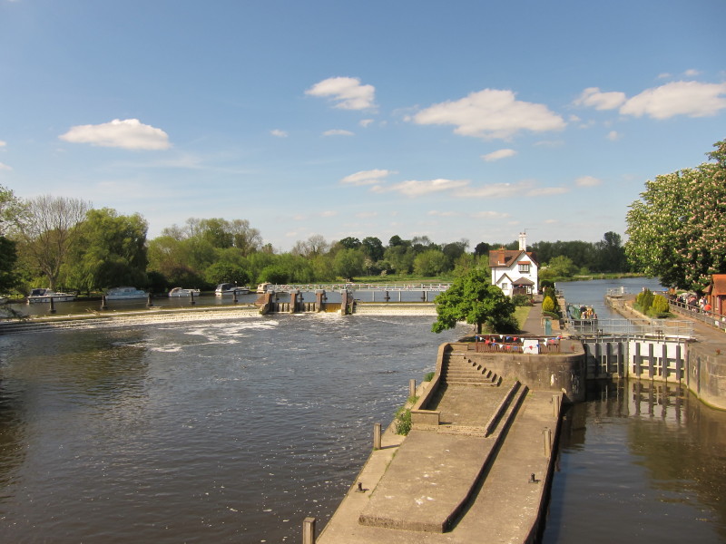
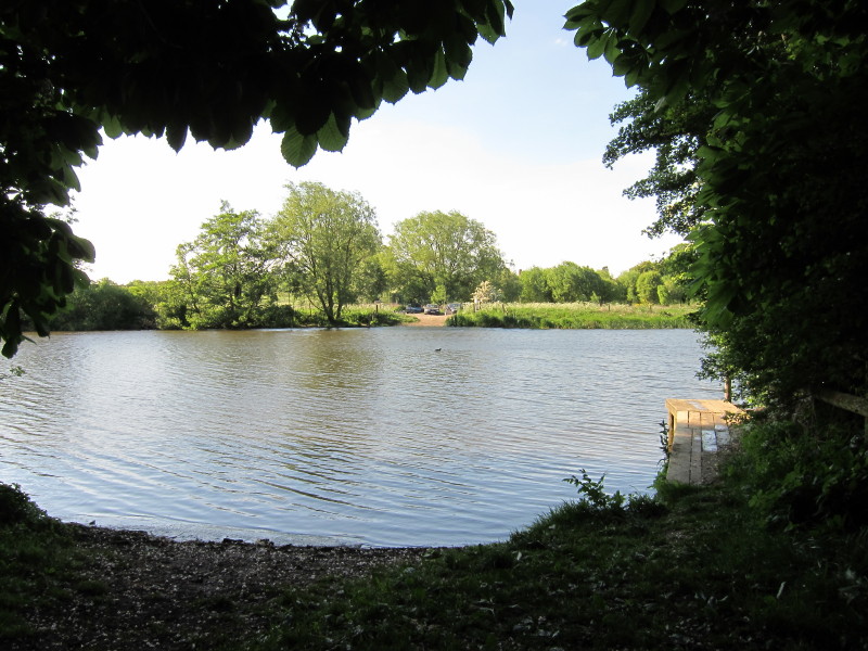
Goring Lock and weir
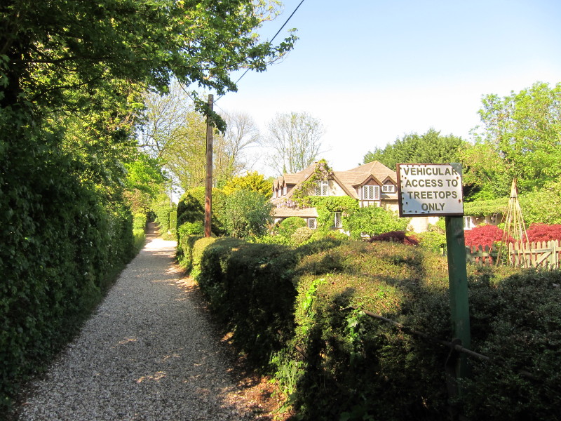
We then turn left away from the Thames Path and take a pleasant footpath which
winds between expensive houses, sometimes appearing to cross their gardens.
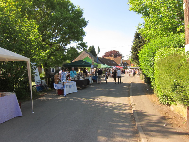
In South Stoke there was a street party going on, continuing on from Friday's
Royal Wedding celebrations.
Eventually the route took us down to the Thames itself where we joined the old
Thames towpath at a former ferry crossing, the absence of the ferry meaning that
the Thames Path is confined to the A329 on the other bank.
Continuing along the towpath north of the railway bridge
The site of another former ferry crossing where the towpath crossed sides. The
point on the other side of the river was where I started and finished a couple
of my Thames Path walks - one
very wet, and one very cold.
The Ridgeway, no longer on the towpath, nevertheless stays fairly close to the
Thames on its way to North Stoke
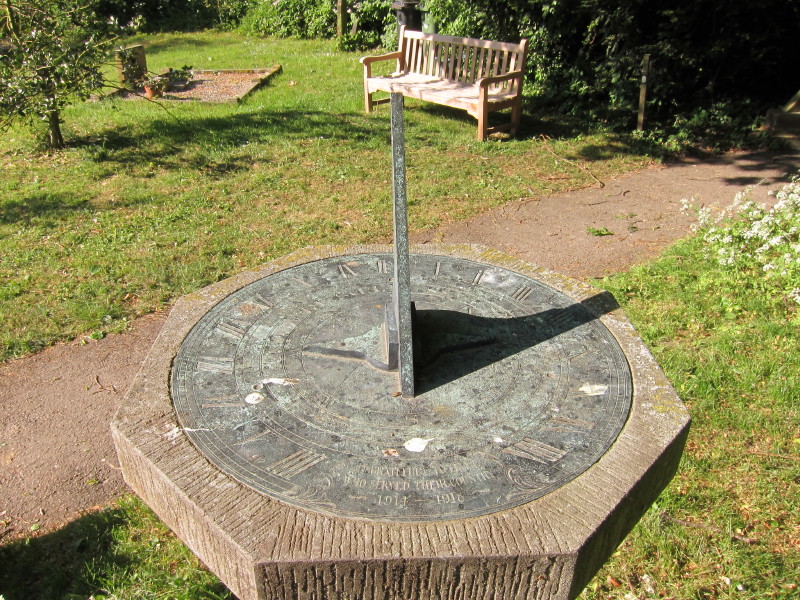
A sundial in the churchyard at North Stoke, and it's time to go home after a
very pleasant walk.
Total distance 20.9 km and 184 metres of ascent in 4 hours 52 minutes - that means we're
about 54% of the way to Ivinghoe Beacon.
 

|