Suffolk Coast Path 3: Chillesford to Aldeburgh
3 August 2013
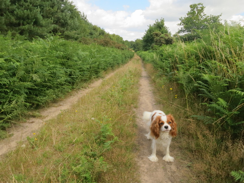
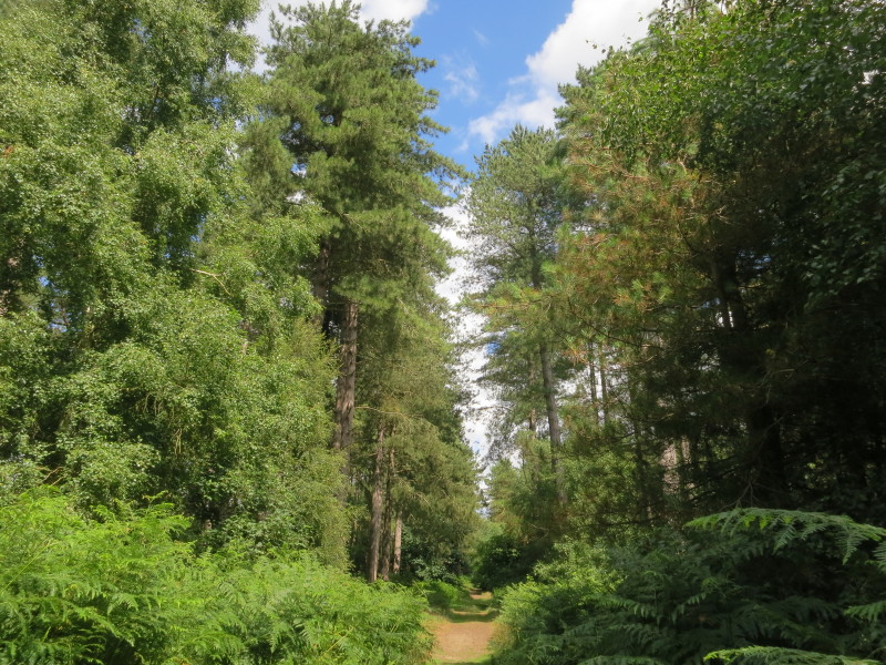
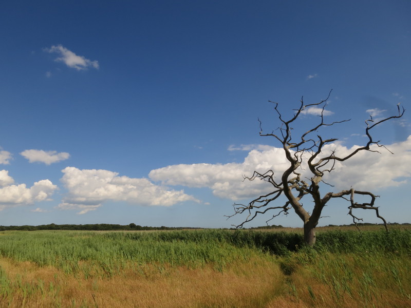
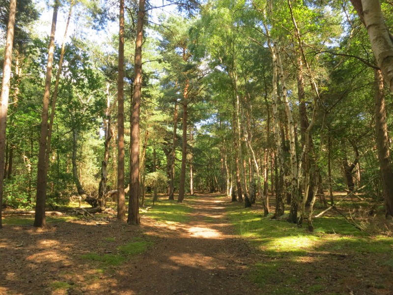
Lottie as we cross heath and woodland heading broadly north-east from
Chillesford
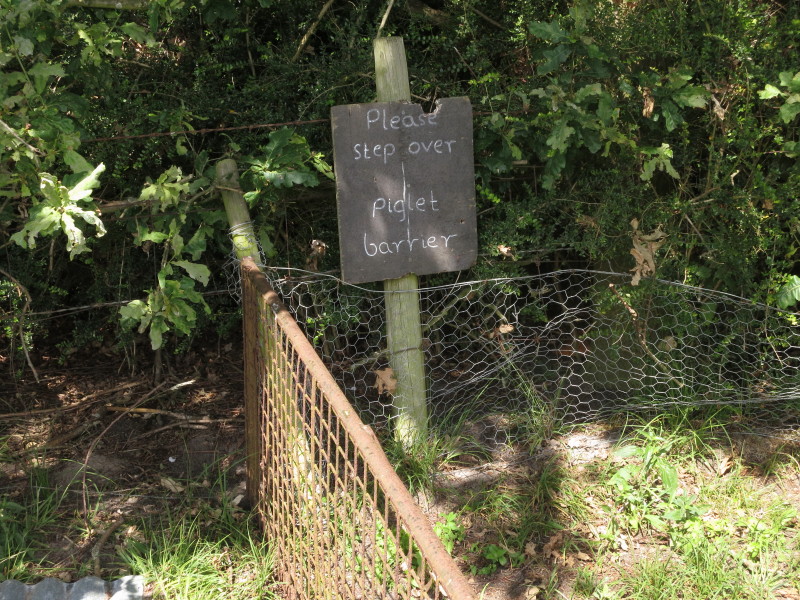
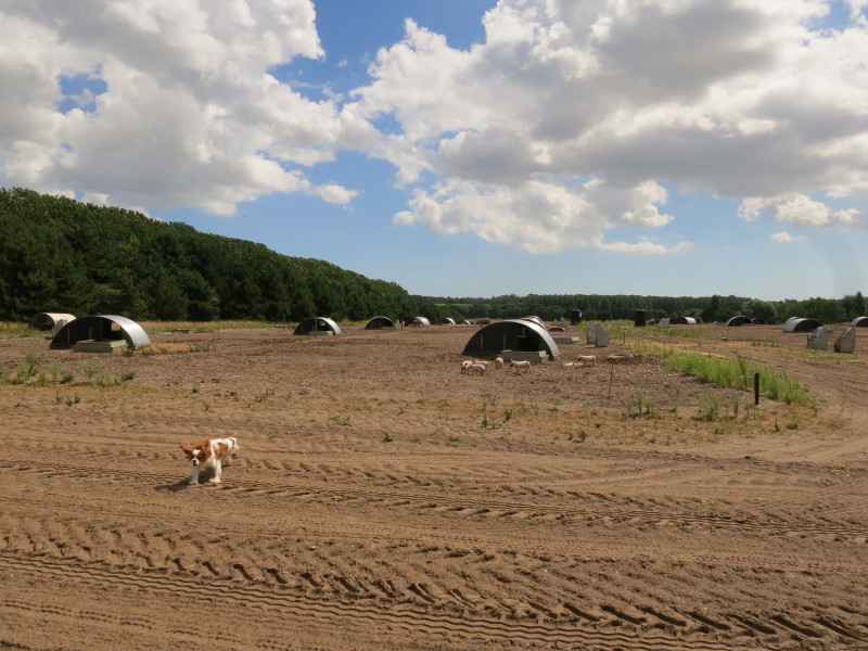
Lottie wanted to go and play with the piglets but was good and came back
as soon as she was called and long before reaching the fence
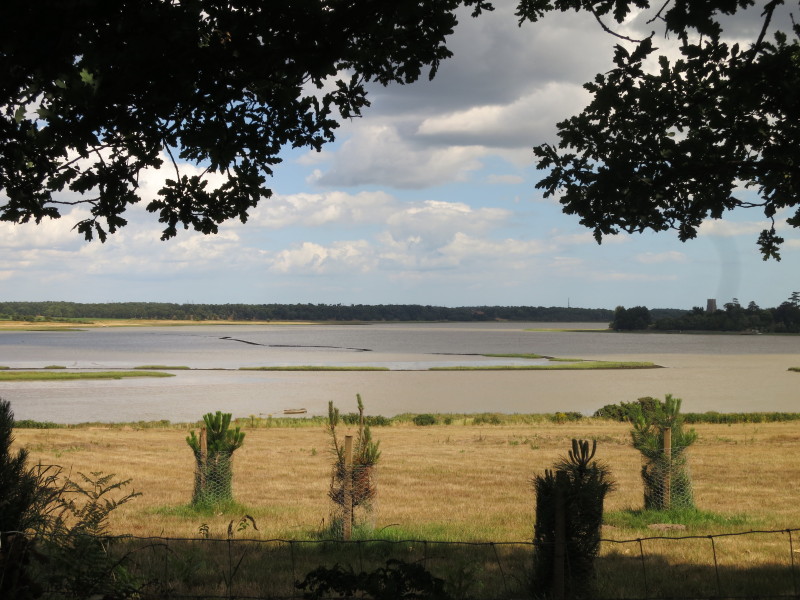
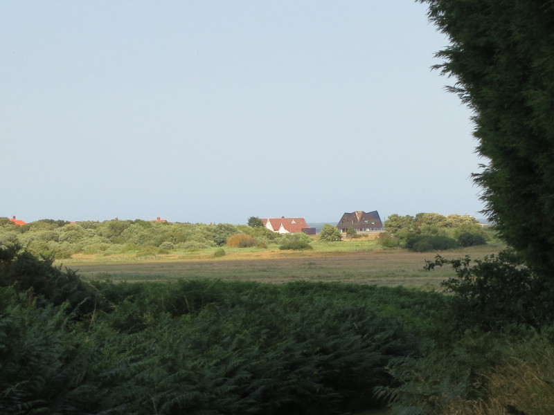
We've now reached Iken Cliff from where there is a wonderful view out
across the River Alde - you can see Cliff Reach, Troublesome Reach,
Lower Troublesome Reach and Church Reach from here. On the right of the
picture is the tower of Iken church
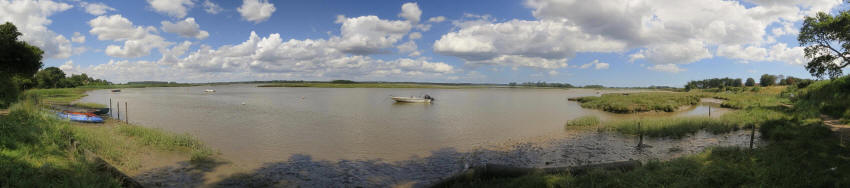
We descended to the river where there was a grand panoramic view - click
the photo to see a larger version.
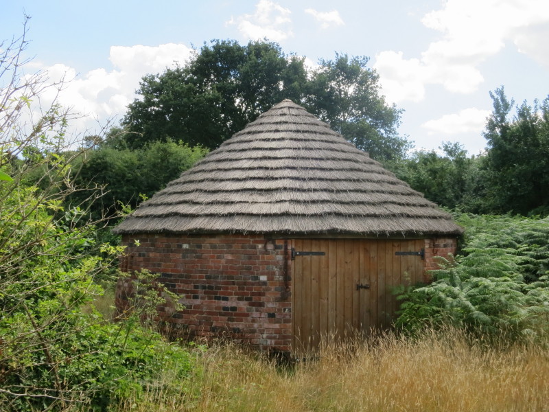
Ropes's Kiln was a lime kiln here at Iken Cliff - the Ropes were
apparently mainly farmers but in the late 18th century through to the
1860s had a corn and coal business here together with the lime kiln.
They also had interests in a number of boats to ship their wares to and
from London.
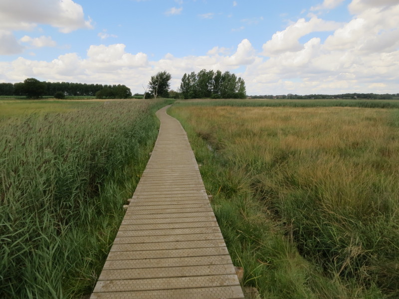
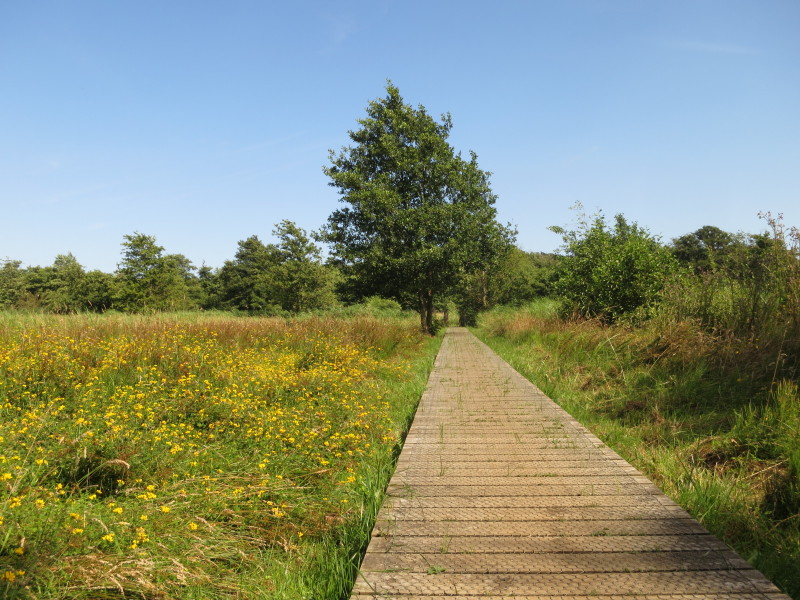
From Iken Cliff the route is parallel to the river heading for Snape
Maltings, much of it along these board-walks
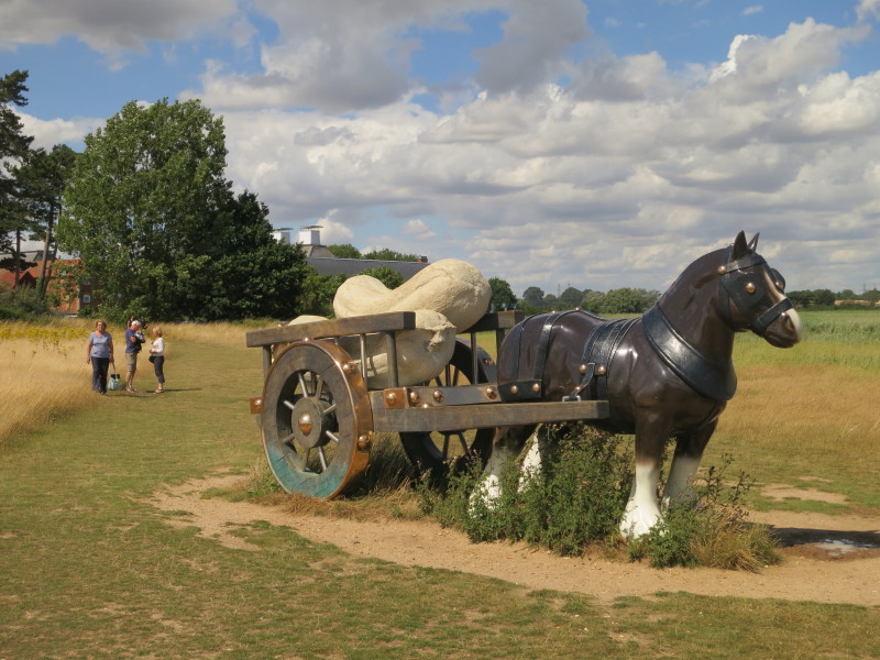
Approaching Snape Maltings we pass "Perceval", a sculpture by Sarah
Lucas from 2006
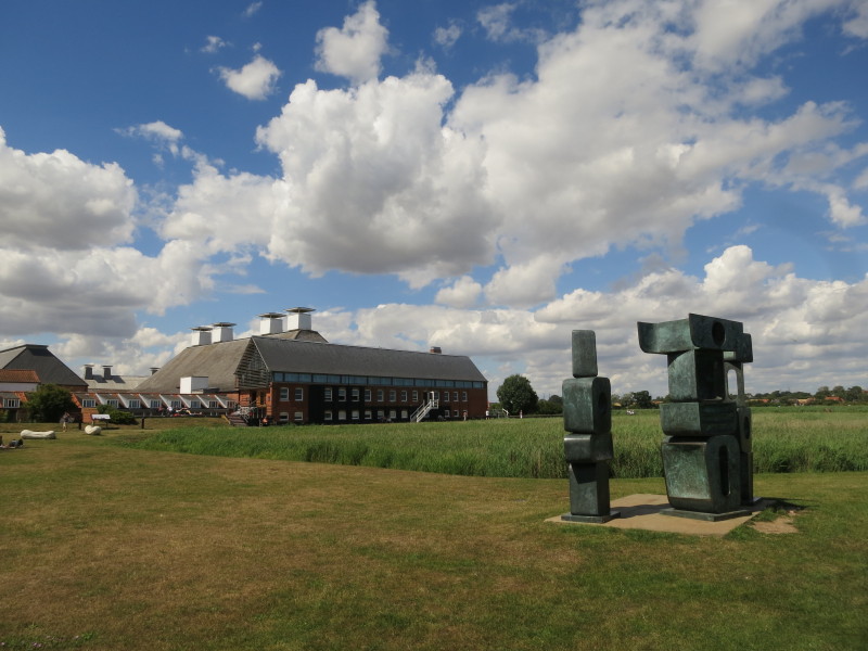
Approaching Snape Maltings and its concert hall
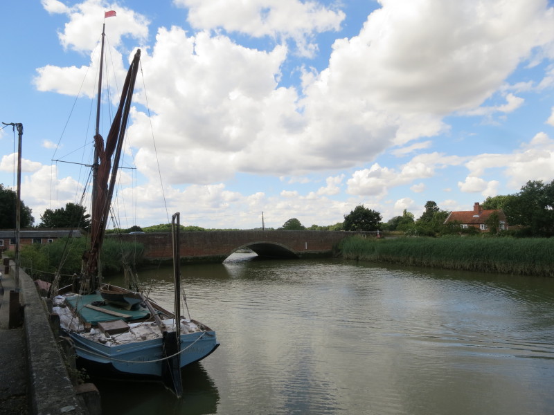
Snape Bridge, the tidal limit of the River Alde and the first crossing
of the river.
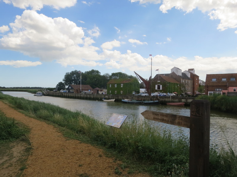
Having crossed Snape Bridge, a look back at Snape Maltings. Having
crossed the river, we can now start to undo our large inland diversion
and head straight for the coast
The path here runs along the river bank initially, with lovely views
across the wetlands in one direction...
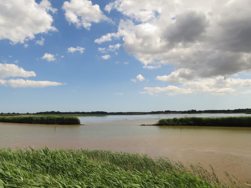
... and across the river and the flooded flood plain. The original banks
of the river have long been pierced by the river, giving it large areas
to spread across with every tide.
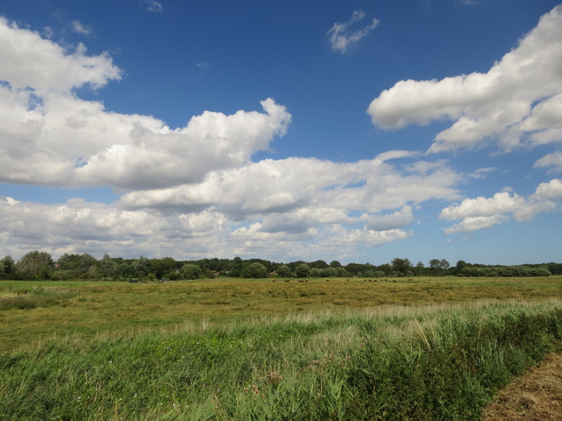
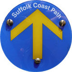
The route to Aldeburgh is known as the Sailor's Path, and having left
the river behind heads across a mixture of woodland and heath
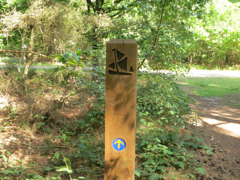
The symbols of the Sailor's Path and the Suffolk Coast Path
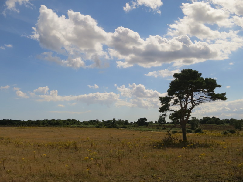
The route is mostly on the sandy soil hereabouts, but with a bit of
board-walk across wetter areas
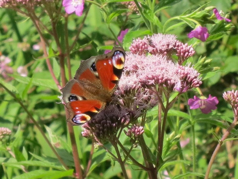
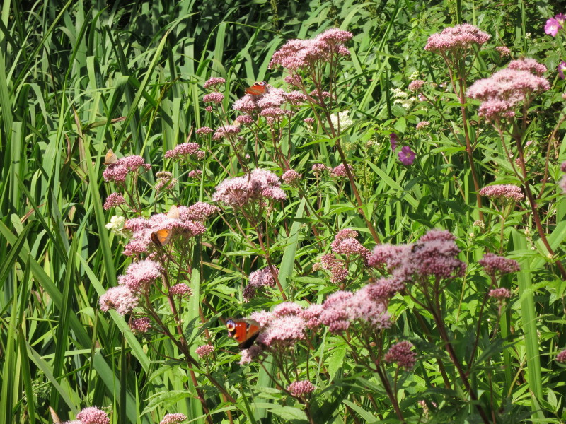
The butterflies were out in force today for most of the walk, to an
extent I don't ever recall previously, swarming around my head on
several occasions and at times lifting off the path in front of us only
to settle again behind us
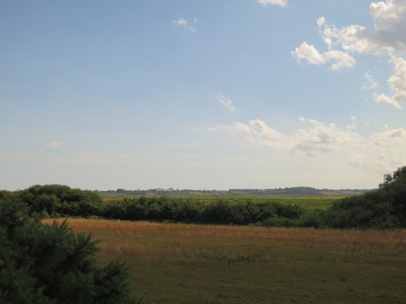
A last look at the River Alde, across Hazlewood Marshes, as we approach
the A1094 road to Aldeburgh
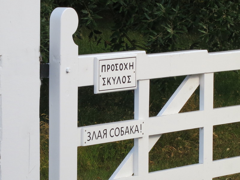
The walk along the A1094 was not particularly pleasant, but once away
from it we have a track along the edge of the golf course, with this
multilingual gate warning us in two languages, neither English, to
beware of the dog.
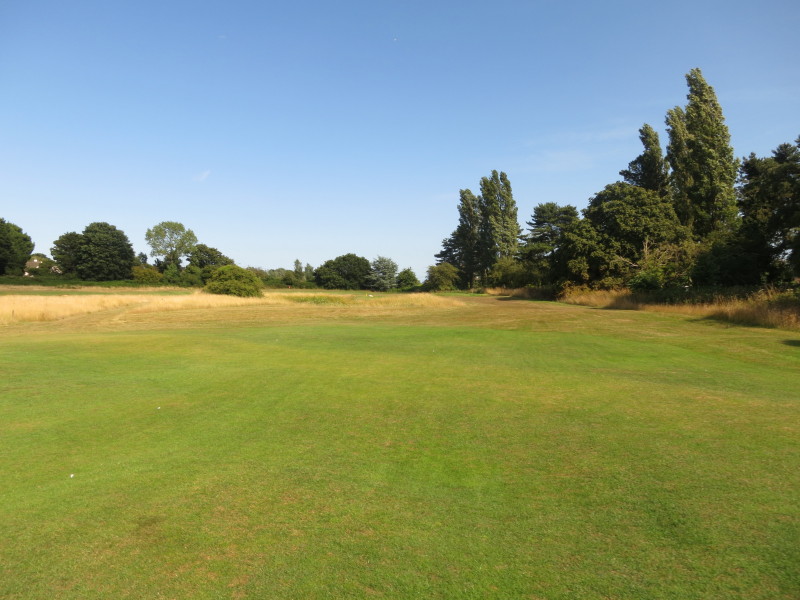
Having largely skirted the golf course, we cross the corner of it across
a couple of holes
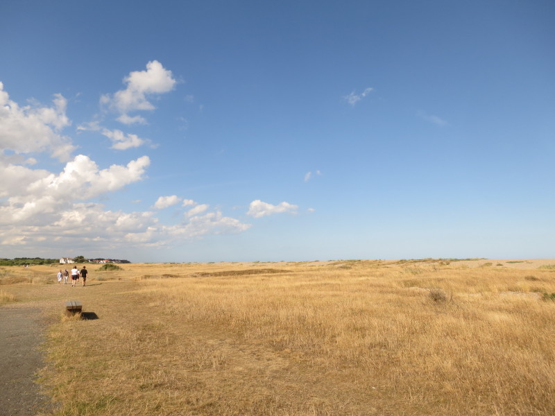
After passing Crag Pit, we get our first glimpse of the sea of the walk
and the first glimpse for a very long way for a Coastal Path.
We cross the line of an old railway, and reach the popular path between
Aldeburgh and Thorpeness, lying in a slight depression behind the
shingle beach
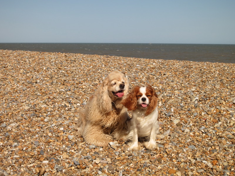
On the beach, George and Lottie brace themselves against the wind as we
wait a couple of minutes for Lucy and our lift back to Chillesford.
Total 17.3 km in 4 hours 31 mins (making 17.0 km progress along the Suffolk Coast
Path)

|
