Suffolk Coast Path 8: Kessingland to Norfolk (almost)
25 October 2014
It was a tedious start to the walk as the hourly bus on the A12 at
Corton which was to take me to Kessingland drove past without stopping,
the driver no doubt thoroughly distracted by the multiple police cars on
the other side of the road with officers wrestling someone to the ground
who had got out of the first police car to stop. A moment's
entertainment for the bus driver meant an extra hour waiting by the
roadside for George and me.
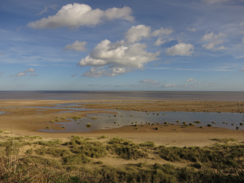
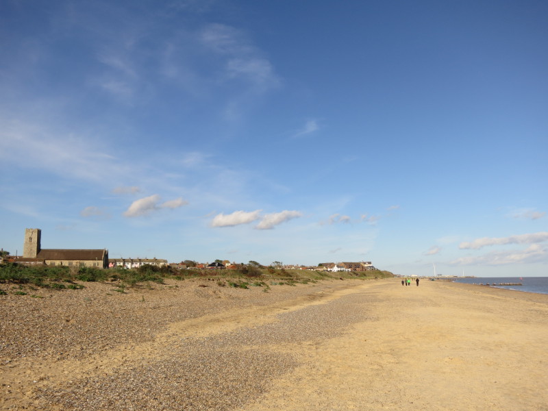
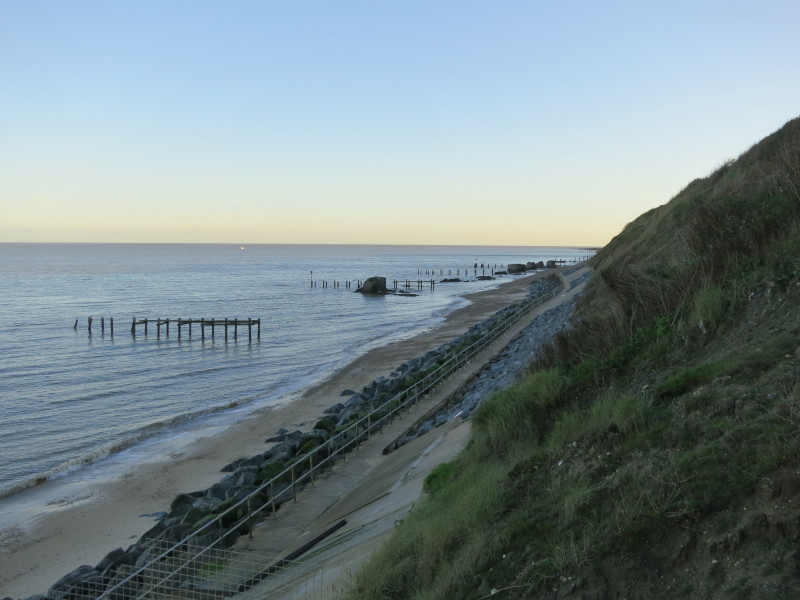
The beach at Kessingland from the top of the cliffs
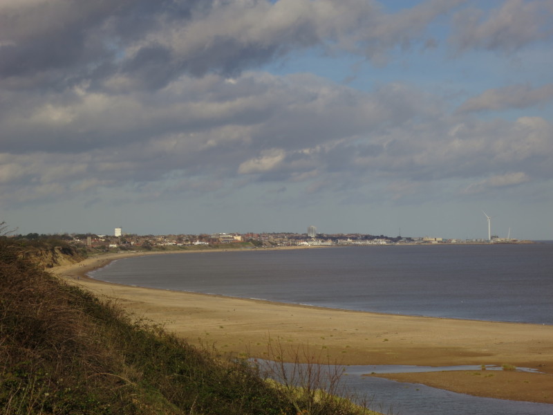
Looking towards Lowestoft
After a descent from the clifftops, we continue to Lowestoft on the
beach
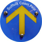
The end of the official Suffolk Coast Path - but we still have some way
to go to get to Norfolk
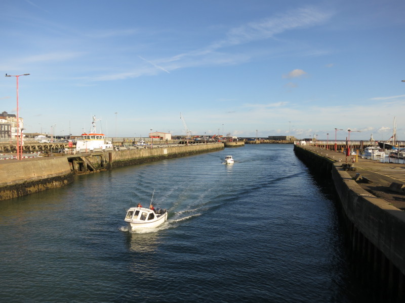
On the A12 Bascule Bridge as a couple of small boats come from the Outer
Harbour into the Inner Harbour
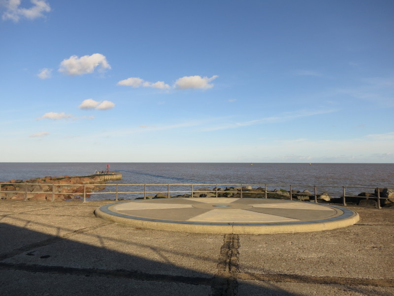
At Ness Point, the most easterly point of the UK. The toposcope gives
distances and directions to a number of places: we are 472 miles from
Dunnet Head (most northerly point), 764 miles from Thorshavn (capital of
the Faroe Islands), 490 miles almost due east is Berlin, and across the
water Amsterdam is only 155 miles away.
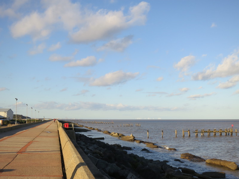
Heading just west of north, with Great Yarmouth visible in the distance
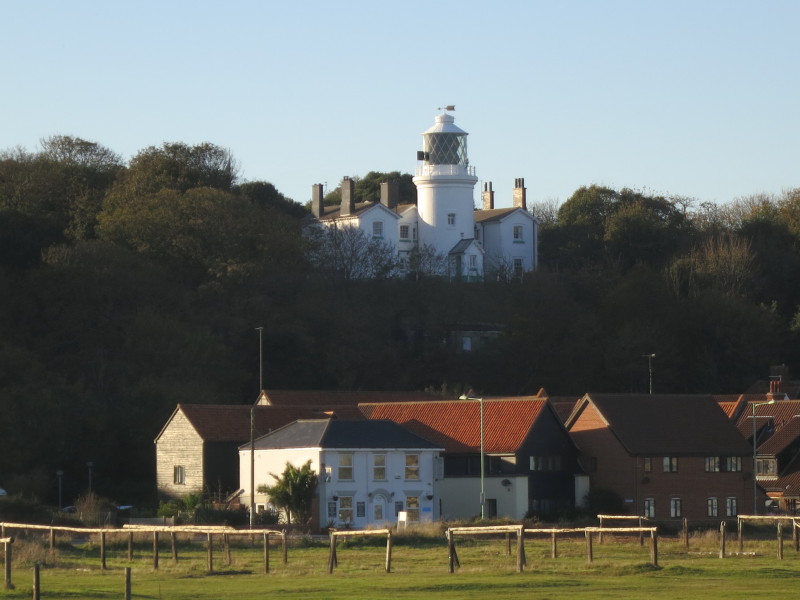
Lowestoft Lighthouse - the High Light was completed in 1874 at a cost of
£2350. It was automated in 1974 and further modernised in 1997.
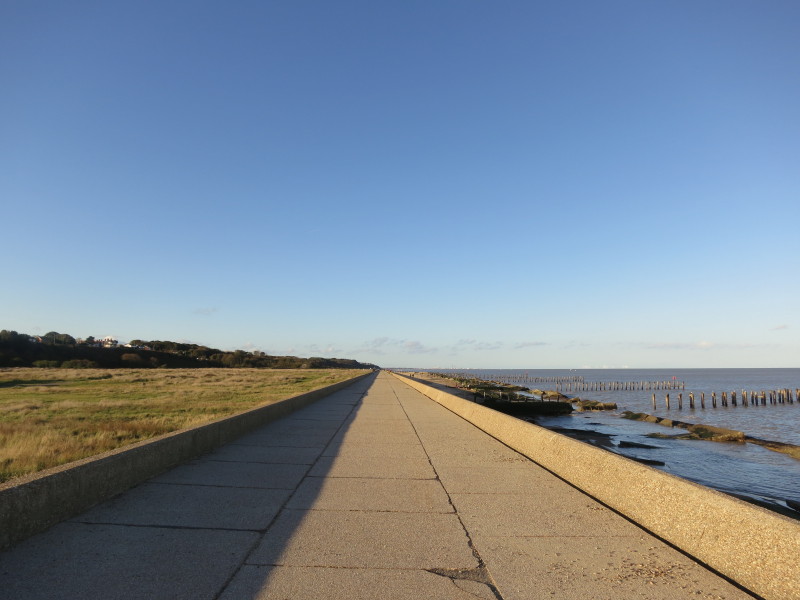
Very easy walking
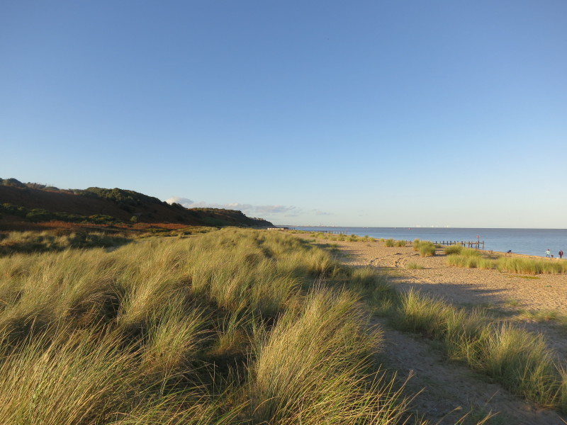
Less easy walking
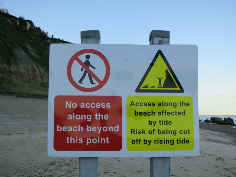
This sign was unexpected, and is pretty clear: "no access"
But this one is also clear, and therefore I proceeded, at my own risk...
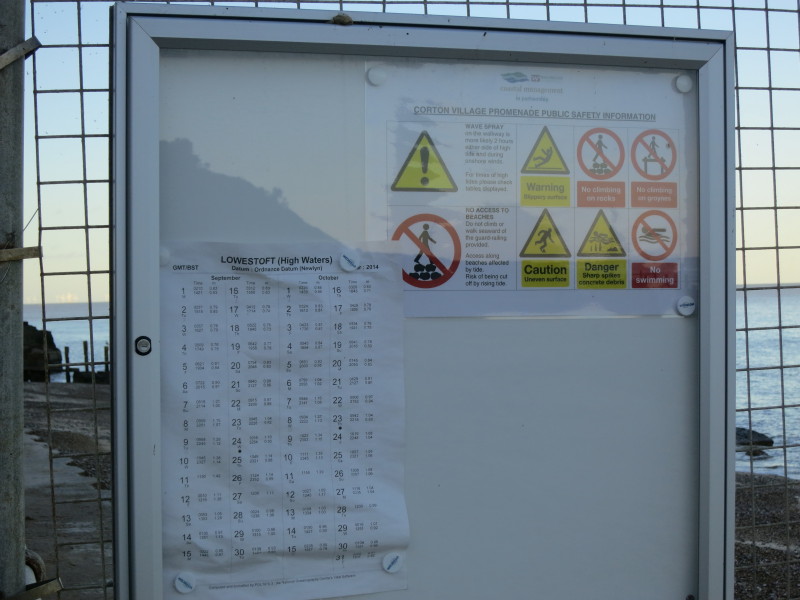
...having taken note of the tide times (which in fact I'd consulted
before I set off on my walk)
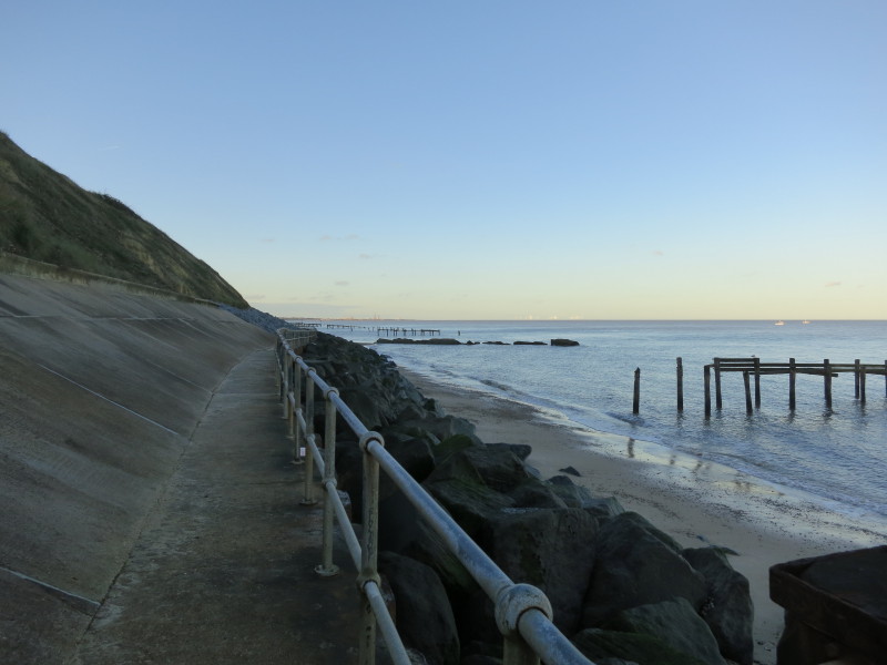
The going is pretty easy (at the right state of the tide)
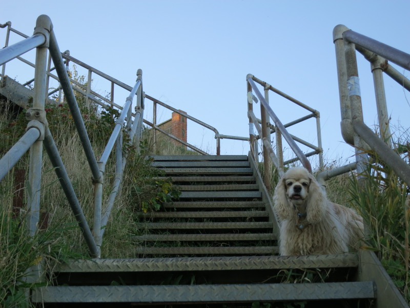
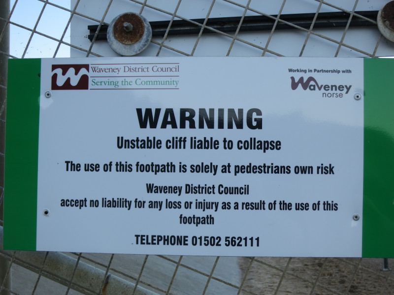
At the top of the steps was a notice advising that the "promenade"
(presumably that which I'd just walked along) would be closed from 3
November 2014 until April 2015 "subject to to conditions being safe
again for public use". Definitely something to research before returning
to this point to continue the walk northwards, though a cliff-top walk
is always an option.
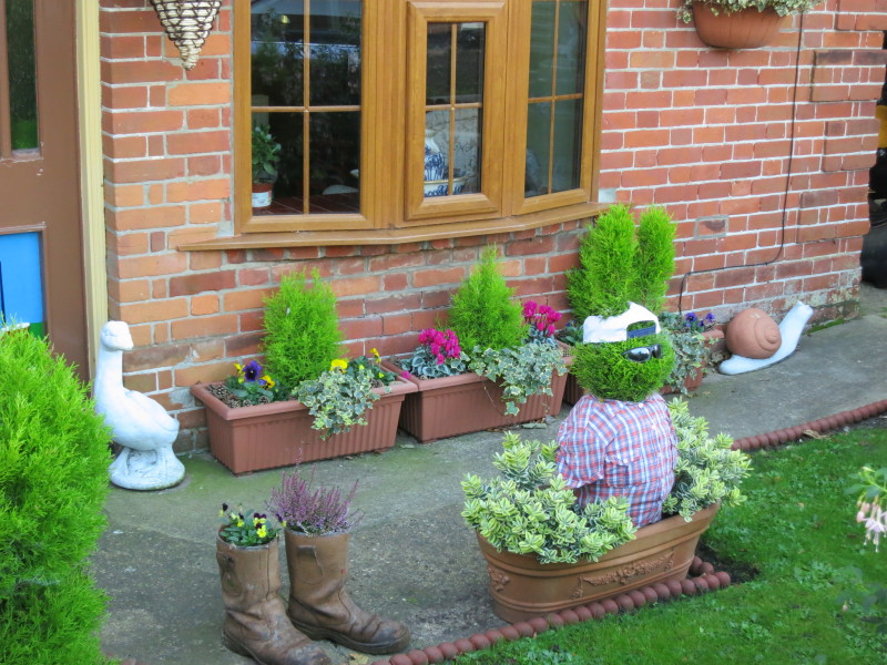
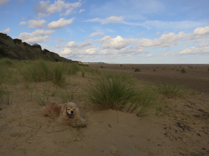
A strange garden as we walk through Corton back to the car
Total 14.4 km in 3 hours 33 mins, making 6.6 km progress along
the official Suffolk Coast Path plus another 6.0 km further along the Suffolk
coast.
|