Wherryman's Way - Reedham to Great Yarmouth
19 April 2014
George, Lottie and I drove to Great Yarmouth, from where we got a train
to Brundall, and then a very busy train back to Reedham. There are
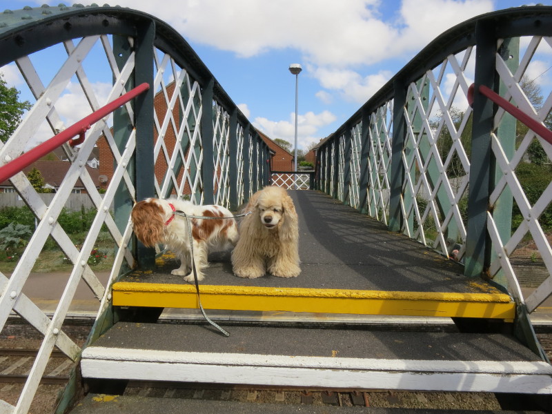
direct trains from Yarmouth to Reedham, but not many. Here we cross the
line at Reedham, ready for a walk to the river and the start of the walk
proper.
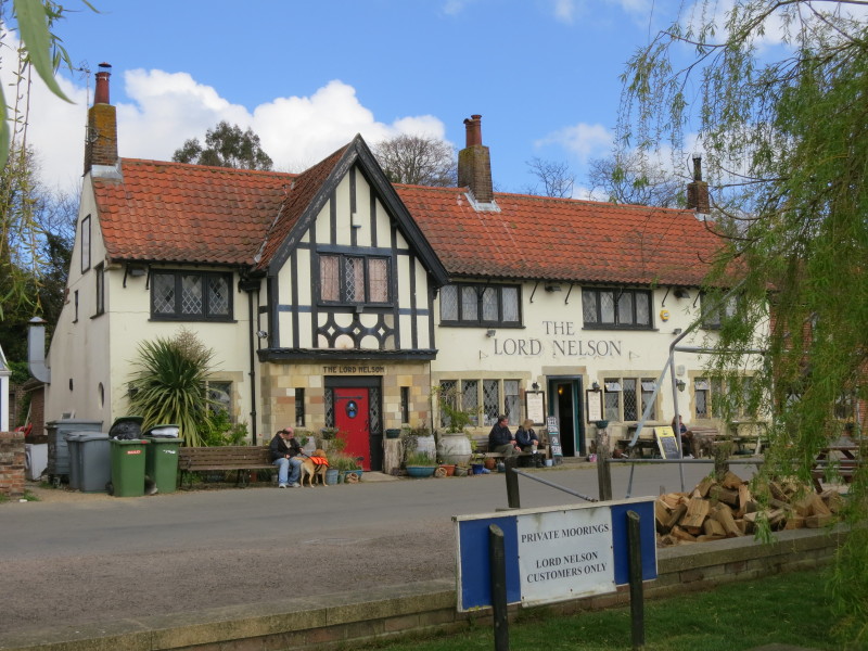
We reach the river and join the Wherryman's Way footpath, walking past
the Lord Nelson pub.
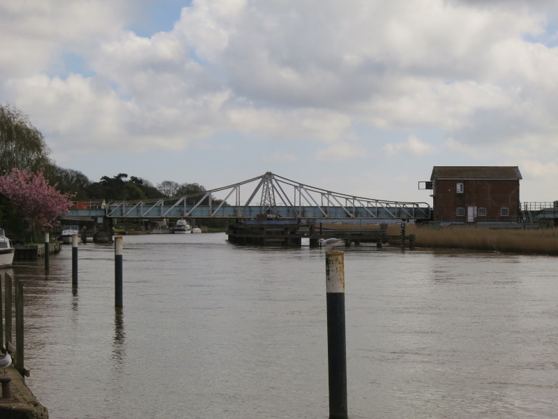
Ahead of us is Reedham Swing Bridge, which dates from 1902-3 and carries
the railway to Lowestoft across the River Yare.
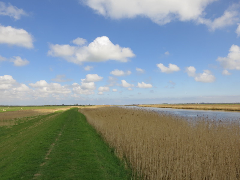
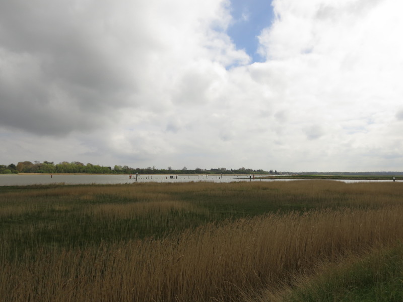
For a moderately sized village, it was a long 2km walk to escape and
finally reach the rural part of the walk, the remainder of which is
along the northern bank of the Yare and its ancient estuary Breydon
Water
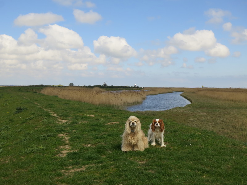
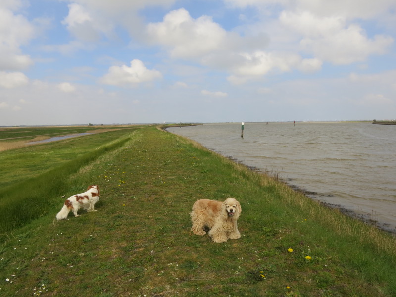
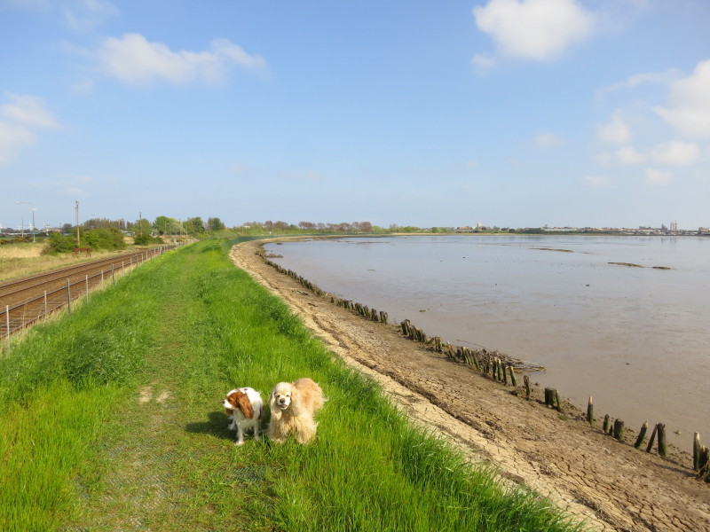
George and Lottie, with several windpumps and windmills on the horizon
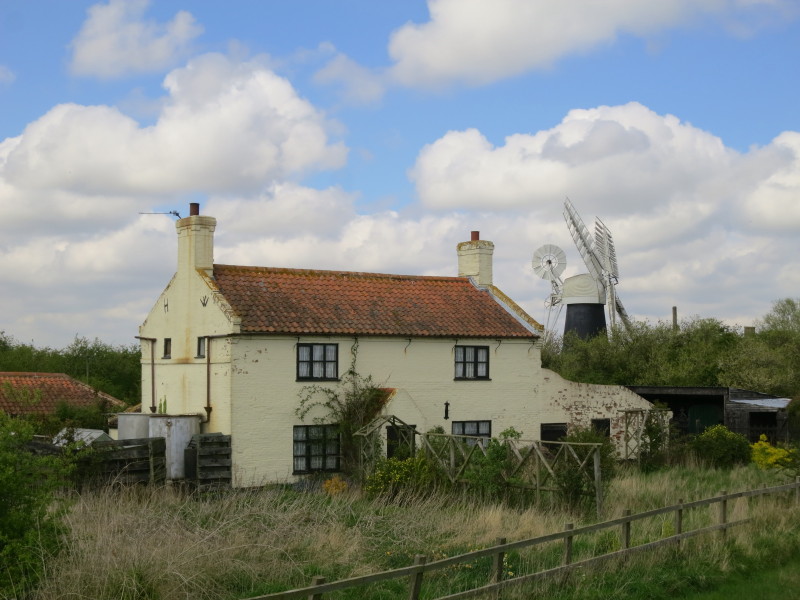
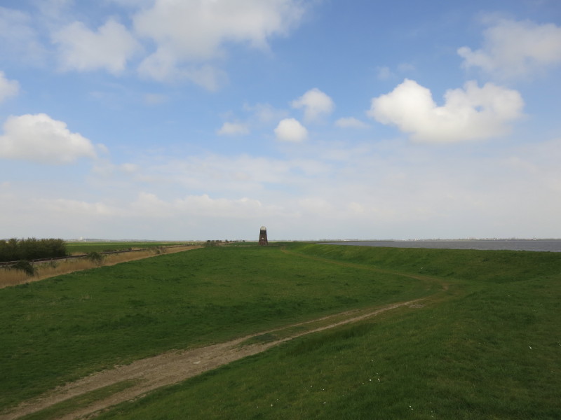
Seven Mile House and Polkey's Mill
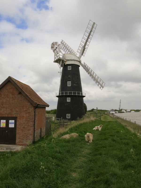
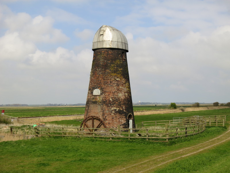
Berney Arms Drainage Mill, the tallest such in Norfolk. It is in the
care of English Heritage - access by pre-booked group tours only.
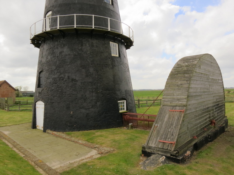
The mill was designed to grind cement clinker, using clay dredged from
Oulton Broad and brought to the mill by wherry. Grinding ceased in 1886
and the mill was then converted to a drainage mill with a 24ft diameter
scoop wheel housed on the right here.
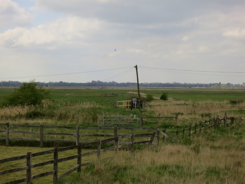
Two walkers make their way towards Berney Arms railway station in the
middle distance, particularly remote as it is 3.5 miles from the nearest
road and surrounded by drainage ditches, so on foot, by rail, by
helicopter or in a tank are the only means of access.
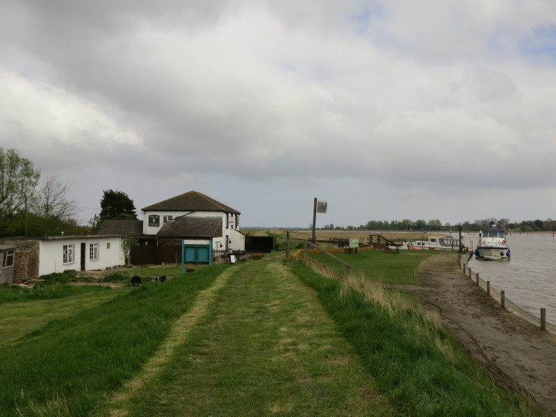
The Berney Arms pub
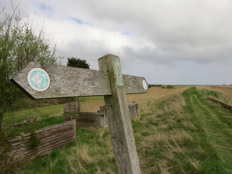
The sign confirms that we have been joined by the Weaver's Way, which
makes its way across the Broads and NE Norfolk from Cromer to Great
Yarmouth.
The meeting point of the Rivers Waveney and Yare, with my
previous route along the Angles
Way on the other side.
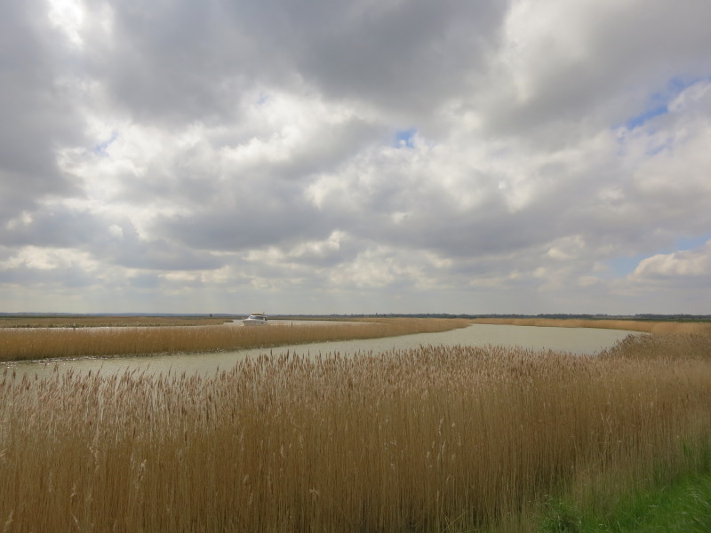
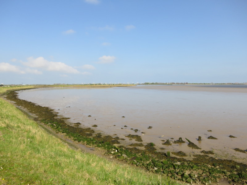
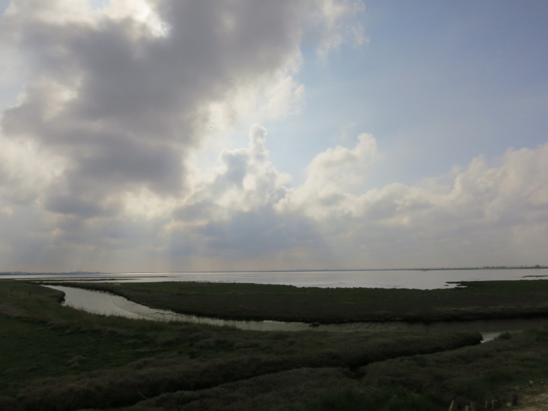
Ahead lies Breydon Water, the estuary of the Yare
Ahead is Lockgate Drainage Mill
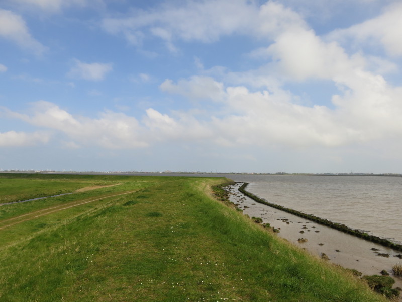
Great Yarmouth ahead, as the tide starts to fall. The mudflats under the
water mean that modest changes in the water level result in the water
being a long way from the bank quite quickly
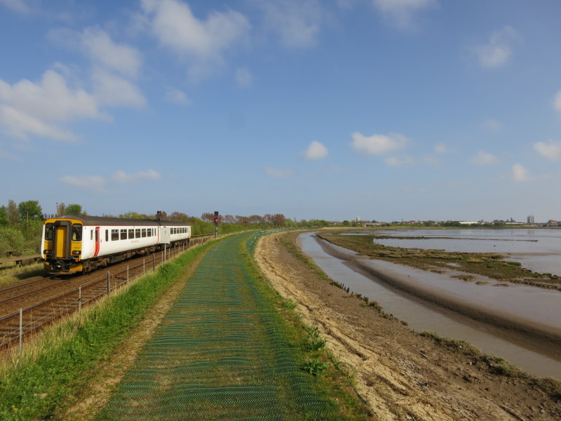
A train runs along the railway across Acle Marshes
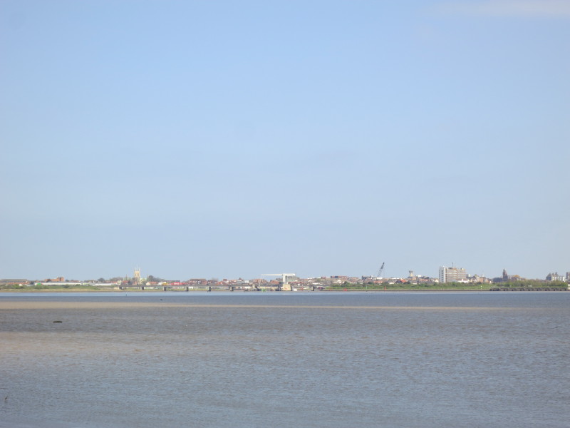
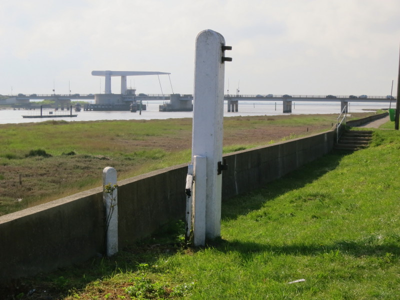
The lift bridge Breydon Bridge centre, with Great Yarmouth spread out
behind
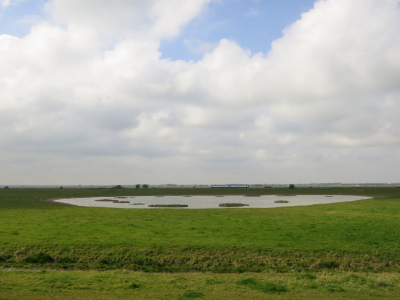
Mud flats appearing as we walk past
Various sections of these flood banks are closed at the moment as part
of an important long-term project to stablise and where necessary raise
them. This section has recently been completed: you can just see the
plastic mesh under the grass to help reduce erosion caused by walkers
The plastic mesh presumably also avoids any slight risk of a muddy
surface - this section needs a bit more grass growth to make the mesh
(which is somewhat "loose" and undulating) be a bit more discreet and
blend in.
A look back at Breydon Water as we approach Breydon Bridge and urban
Great Yarmouth
After passing under the bridge, the last little section is past the Asda
car park - with a little evidence of the former railway use of the land.
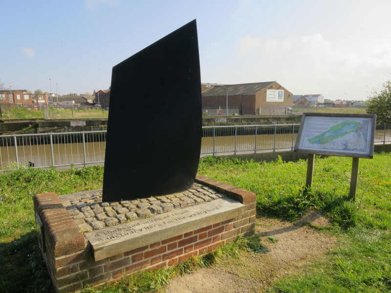
And so to the Three Ways Meeting Point, where the
Angles Way, Weaver's Way and
Wherryman's Way all meet, just outside the railway station where the car
awaits. A windy walk (almost all straight into our faces) but an
enjoyably quiet and rural one.
Total 16.5 km in 4 hours 22 mins.
|