Scafell Pike via Lingmell, Round How and Great End
9 September 2001
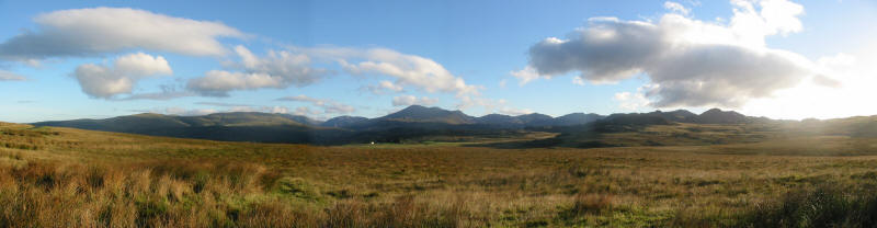
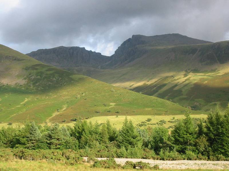
The view of the Wasdale and Eskdale fells from the Birker Fell road, 7.50am (Click photo
for a larger version.)
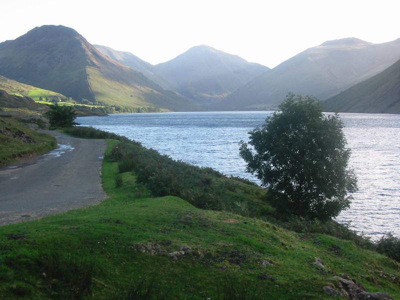
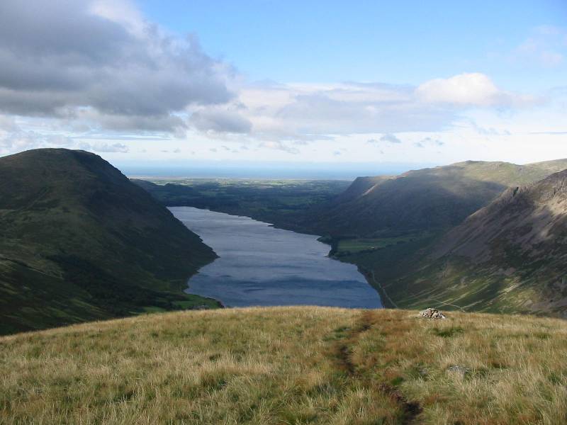
The "classic" view along Wastwater, with Yewbarrow on the left, Great Gable in
the centre, and Lingmell (my first target of the day) on the right.
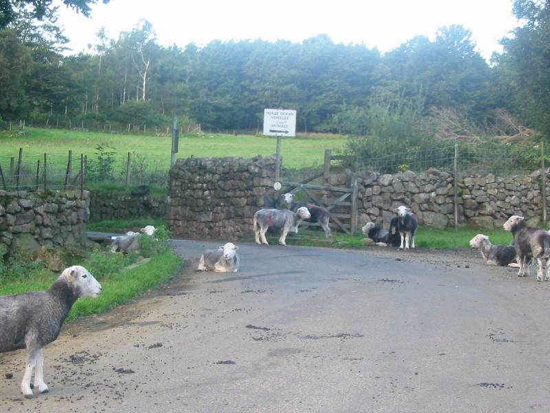
A number of sheep had decided that the road was the best place to spend the night.
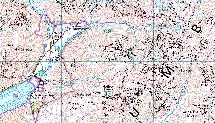
My route for the day. I walked from the
car park near Wasdale Head onto the shoulder of Lingmell and up to the summit of
Lingmell,
then across the Corridor Route onto Round How (one of the unknowns in the highest 100
peaks in the Lake District), then up onto Great End. From there, via visits to the
little-frequented summits of Ill Crag and Broad Crag, I went to Scafell Pike, then
descended via Mickledore and Brown Tongue to Brackenclose and thence back to the car.
Distance 14.33km, total height gain 1275m, time 9 hours
(including stops)
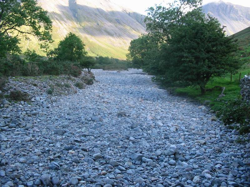
After parking the car, I crossed Lingmell Beck, which appeared to be dry, though I suspect
there was water under the stones.
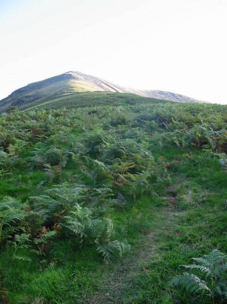
Climbing the shoulder of Lingmell towards what appears to be the summit...
...but wasn't, but at least the reward was a much reduced gradient...
...with an impressive view of Mosedale
Looking up to the new apparent summit, which also proved to be false
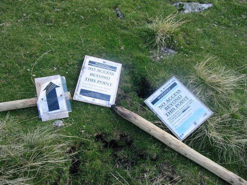
Cast on the ground were these National Trust warning signs reading "No access beyond
this point", which was worrying, going on to say "There is no access down the
nose/ridge of Lingmell. Please retrace your steps or return via Lingmell Gill." Of
course, I didn't want to go down the nose/ridge, I'd just come up that way. Whether their
state indicated they were now out of date or not was unclear, but there was little else to
do but carry on.
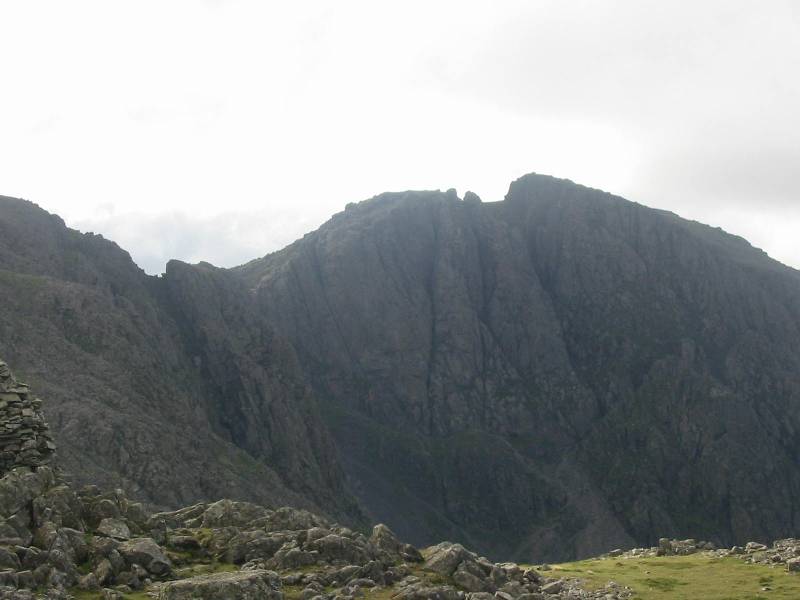
Scafell, with some of the crags of Scafell Pike on the left
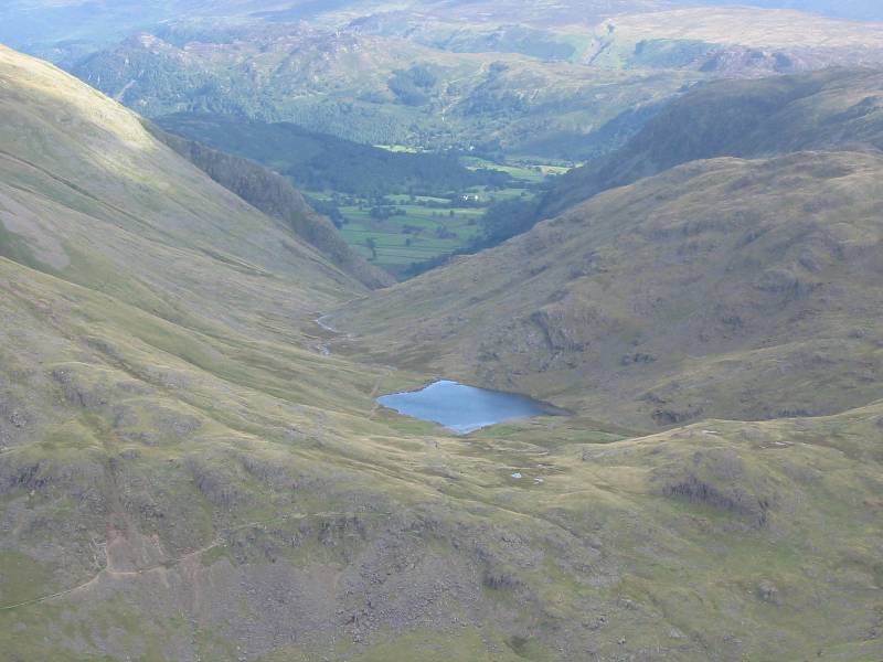
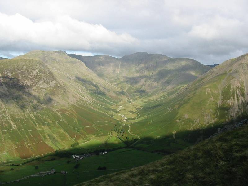
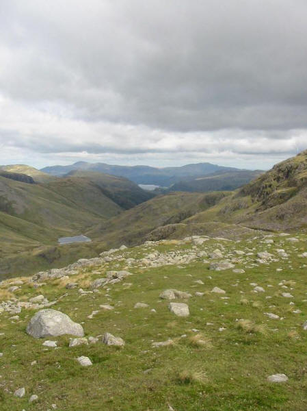
Styhead Tarn, with Borrowdale in the distance
Mosedale
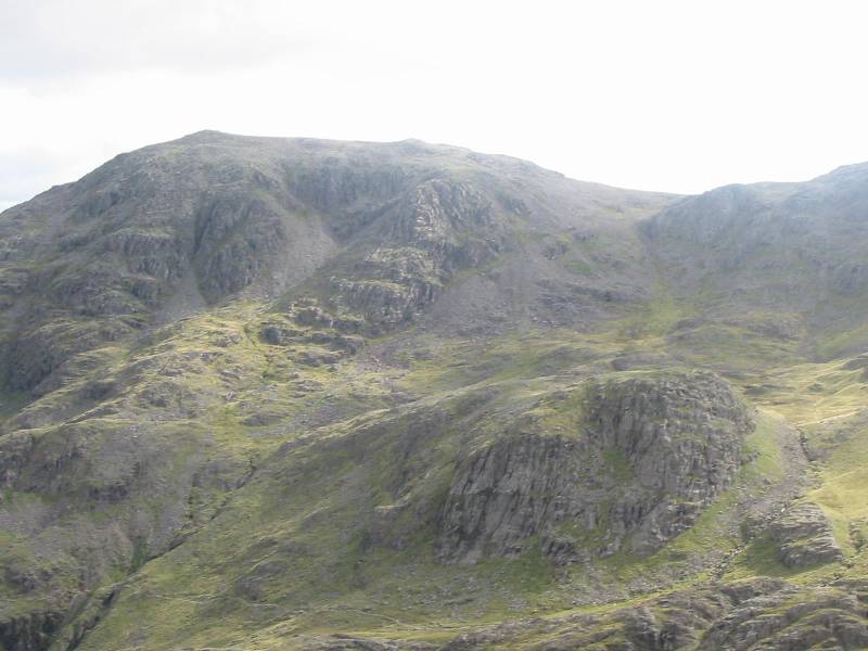
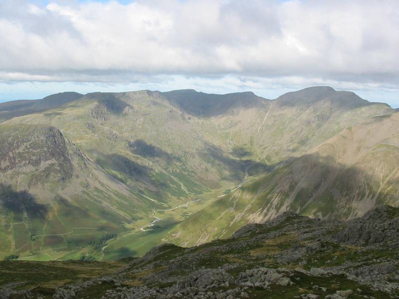
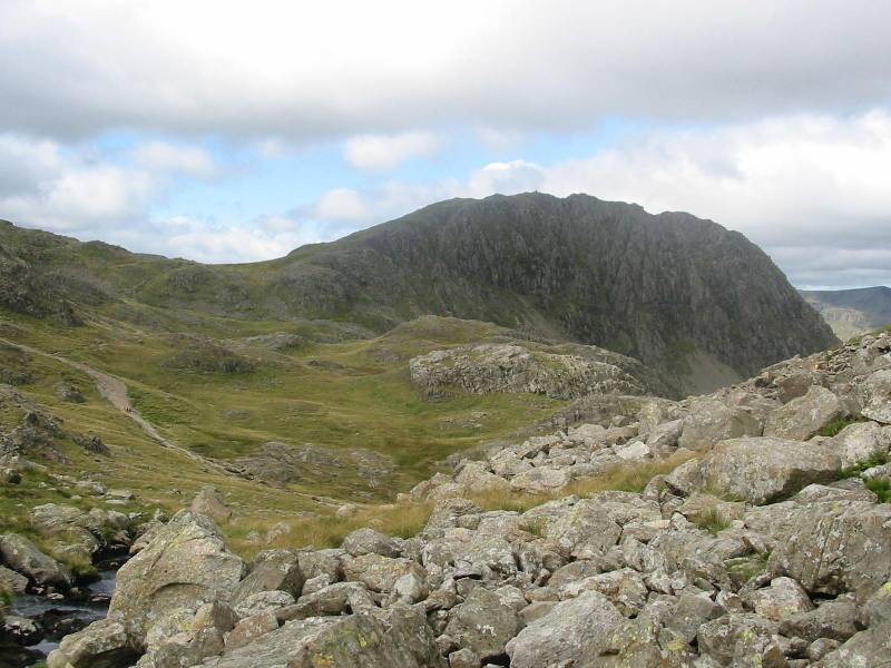
The walk ahead - Great End top left, with Round How centre right
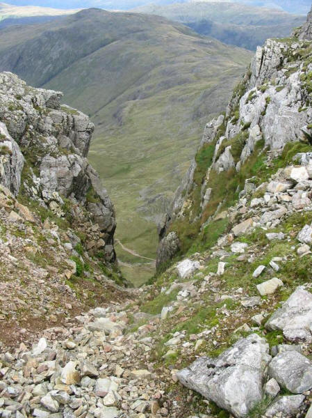
Looking down Lingmell Crag into Piers Gill
Looking down gullies to Piers Gill
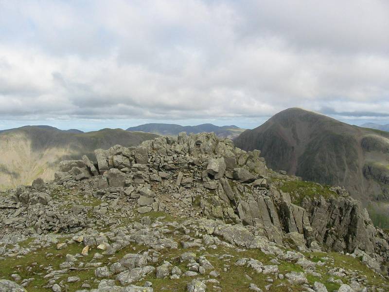
Looking from the eastern cairn across the western summit, with Great Gable on the right
Panorama (click for larger version) - Great Gable is prominent on the left (with Grasmoor
in the distance), the Skiddaw massif to the right of Great Gable, then
Blencathra, then
the eastern fells ridge from Clough Head through to Dollywagon Pike, then in the
foreground the Scafell massif, with Great End, Round How below, then Broad Crag and
Scafell Pike. The cairn on the eastern summit of Lingmell is followed by Mickledore then
Scafell running down to Wastwater, with the famous Screes falling from Illgill Head.
Across Wasdale is Yewbarrow, with Middle Fell and Seatallan gradually further away.
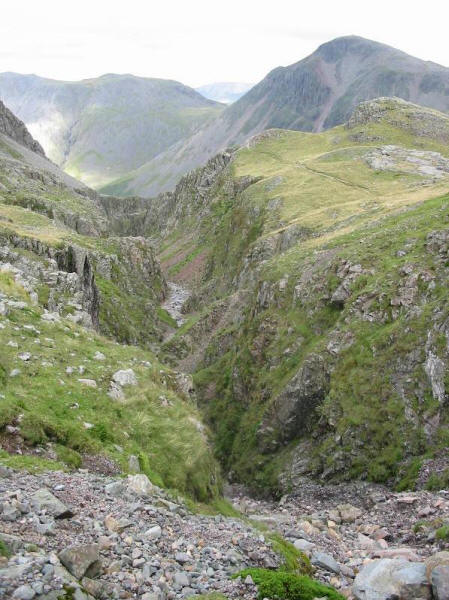
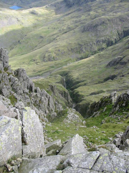
Looking down Piers Gill from the Corridor Route, with Kirk Fell and Great Gable in the
background
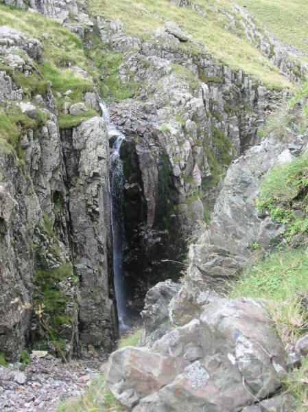
Waterfall into Piers Gill
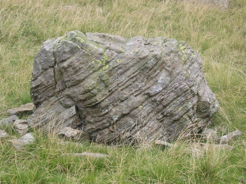
Boulder on the climb to Round How
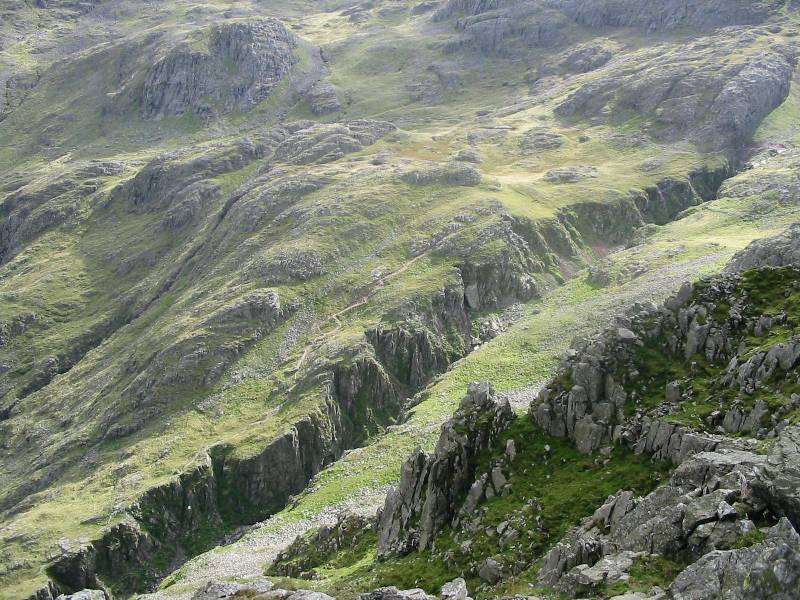
Looking back to the crags of Lingmell from the slopes of Round How
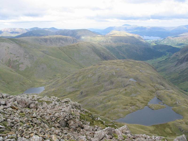
Looking north from Round How, Derwent Water centre picture, Skiddaw and Blencathra behind,
with Styhead Tarn centre left.

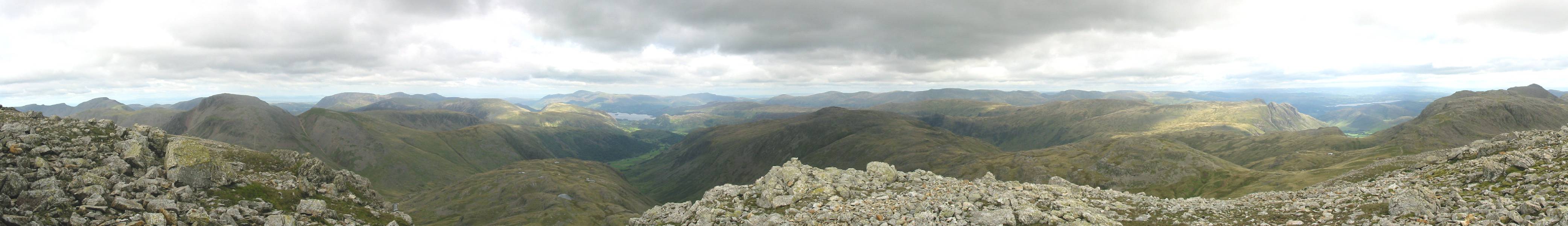
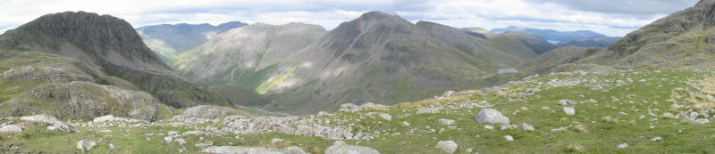
Panorama from Scafell Pike across the Corridor Route to Lingmell
Panorama from Lingmell, past Kirk Fell and Great Gable, then Green Gable and Derwent Water
backed by the distant northern fells.
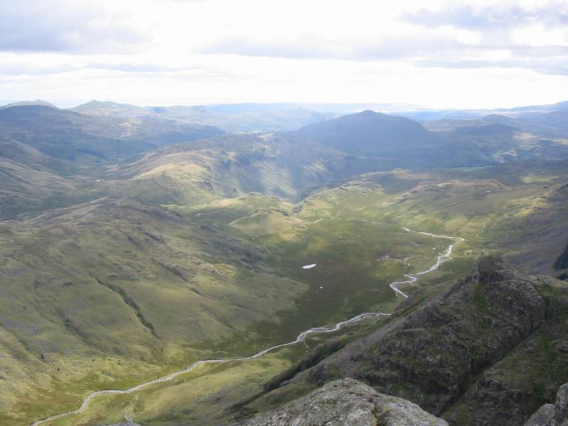
The classic view north from the rim of Great End's crags, with the delightful Sprinkling
Tarn bottom right, with the plateau of Seathwaite Fell pointing north to Borrowdale and
Derwent Water, with the Skiddaw massif behind.
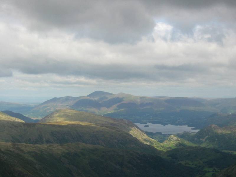
A zoomed in shot of Derwent Water and Skiddaw
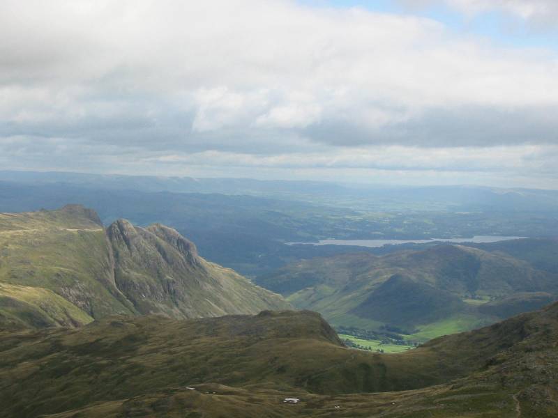
Windermere and the Langdale Pikes
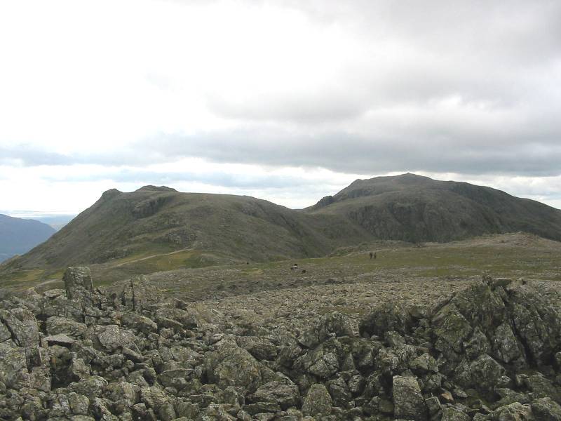
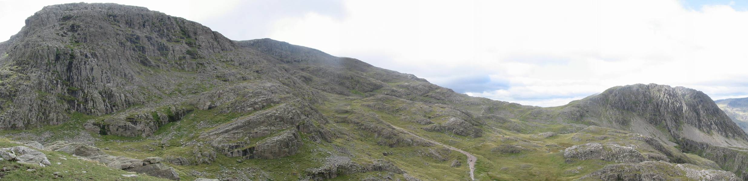
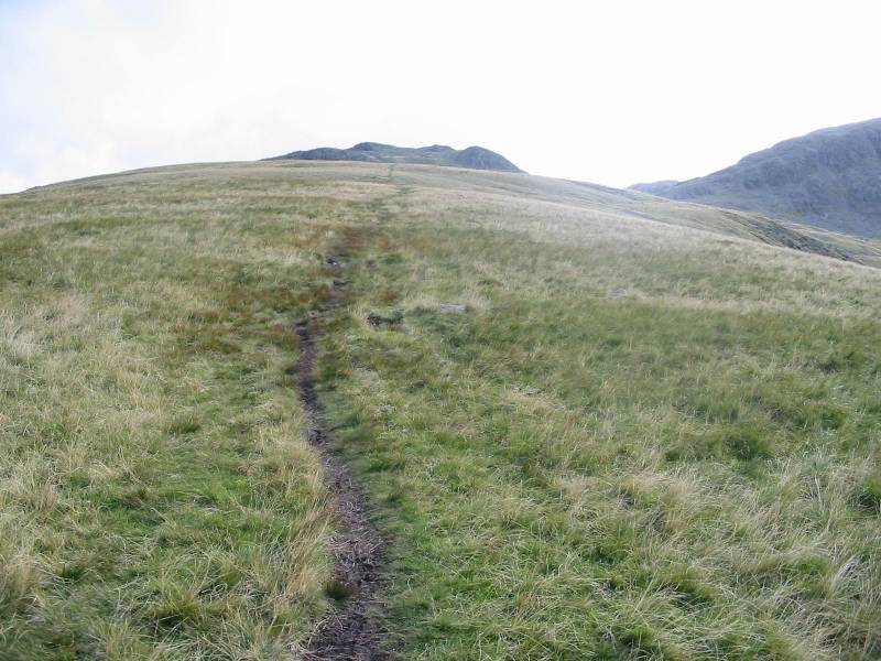
Looking south along the ridge, with Ill Crag on the left, and Broad Crag and Scafell Pike
on the right.
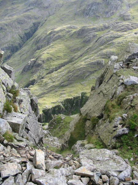
Looking down one of the dramatic gullies that slices across the northern face of Great End
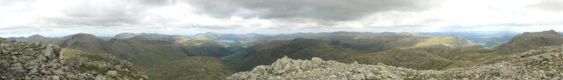
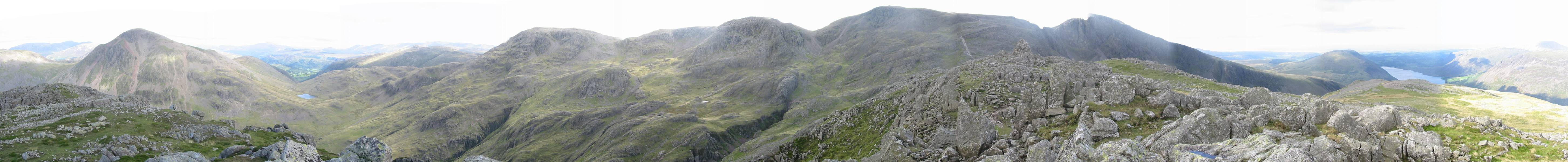
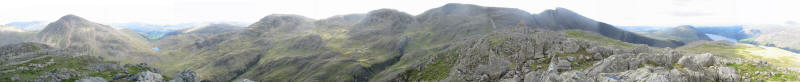
A 200° panorama, from Middle Fell on the left around to Bowfell on the right. A wonderful
view, sinfully missed by the crowds with their sights only on the highest place to be,
ignoring the best place to be.
The view from the summit of Ill Crag - another haven of peace away from the
"motorway" to the top of Scafell Pike. A wonderful view of the wilderness of
upper Eskdale, and south to the sea, with the Coniston Fells on the left.
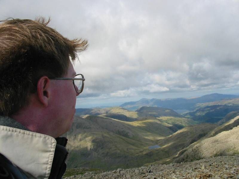
A self-portrait on the highest point in England. The view is similar to that north from
Great End, but with crowds of people, even on this fairly quiet Sunday afternoon.
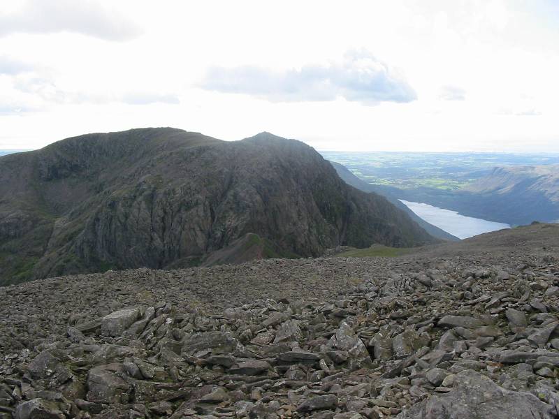
Looking across Mickledore to Scafell, with Wastwater on the right
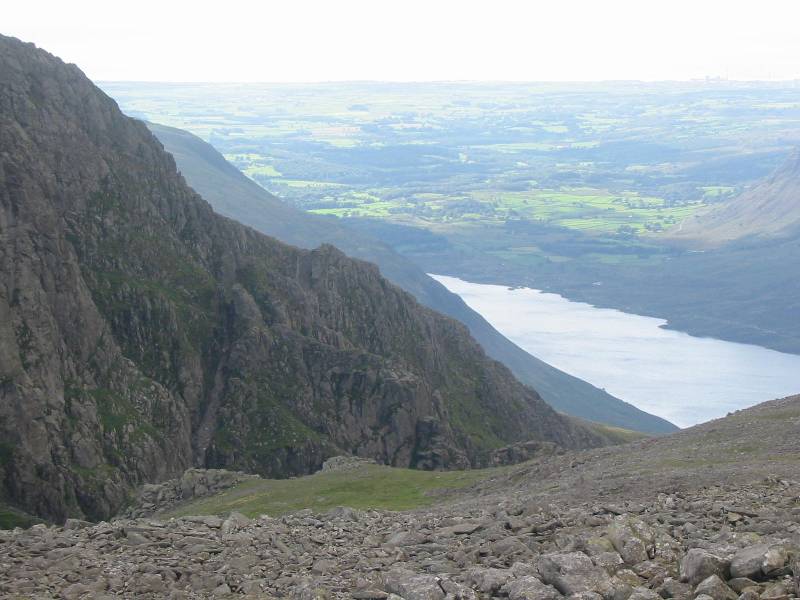
The coastal plain beyond Wastwater; the pedestrian route of Lord's Rake up the crag is
visible centre left, above the left edge of the green patch.
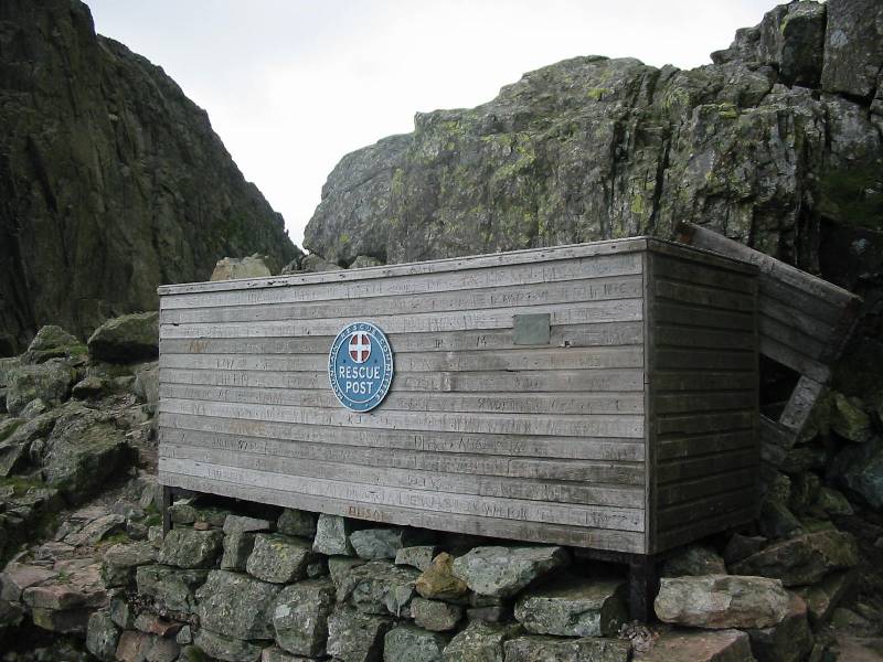
The stretcher box at Mickledore
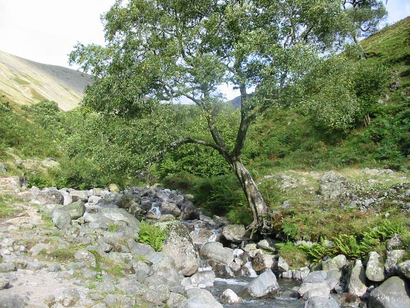
Descending Lingmell Gill
Looking back from the valley, with Scafell Pike on the left and Scafell on the right,
behind the shoulder of Lingmell.
A wonderful walk, with wonderful views - they didn't come out on film,
but the full length of the Galloway coast clearly visible to the northwest, then the Isle
of Man very clear, with the Irish and Welsh mountains just visible west and south, and the
Pennines falling away in wave after wave to the east.
Lake District holiday, September 2001
|
|