Pillar plus Looking Stead, Black Crag, Scoat Fell, Steeple
and Red Pike
24 May 2009
Today was forecast to be cloud-free on the tops with
the likelihood of unbroken sunshine, so time for a full day's high level
walk.
The car journey to Wastwater was far busier than
expected for 7.30 on a Sunday morning, with large numbers of minibuses
throwing themselves round corners at me. When I arrived at Over Beck car
park, I found the entrance blocked by a coach and the car park almost
full of minibuses and vans. The road towards Wasdale Head was full of
more minibuses and camper vans. It seems there was a "Three Peaks
Charity Challenge" going on. I'm content to share the hills with as many
people as want to come and respect them, but this fundraising exercise
seemed rather inappropriate and shattered the peace and beauty of the
area.
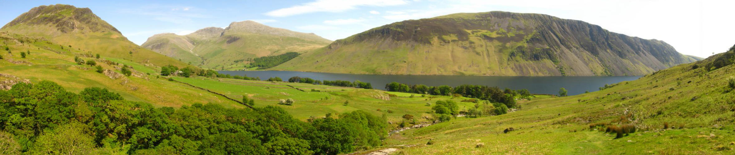
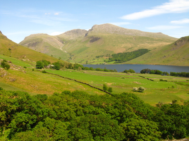
So after all that busyness, a more serene photo of the head of Wastwater.
Note the cloud, which was not what had been promised.
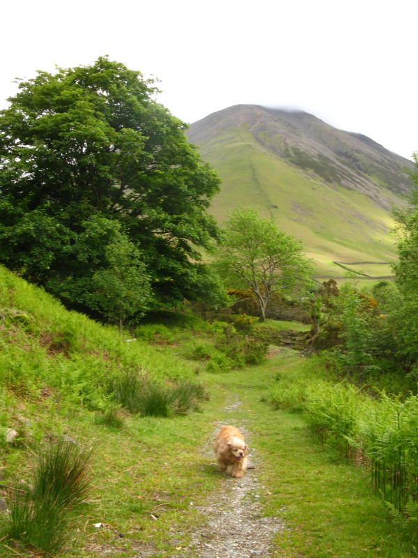
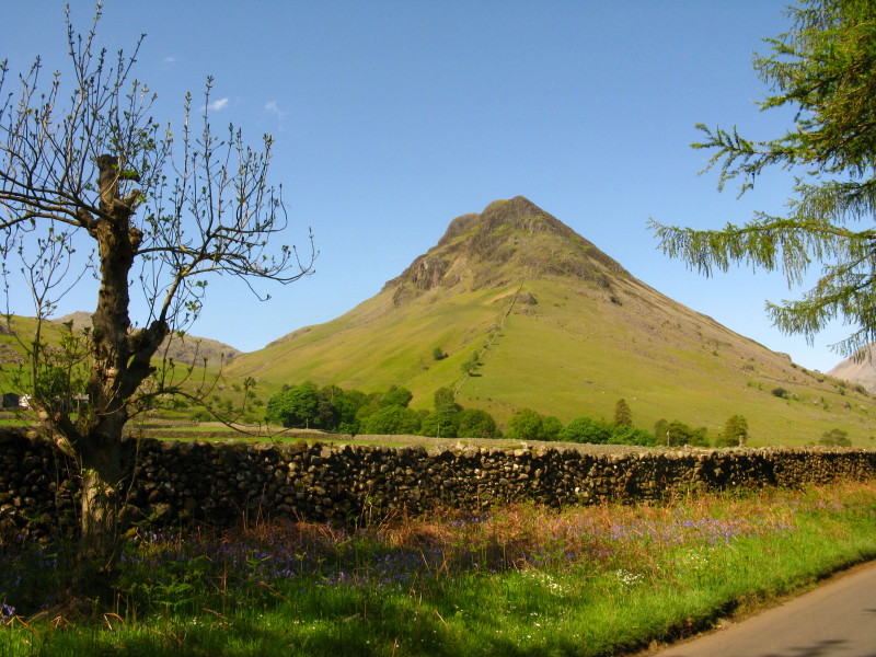
Finally leaving the road to Wasdale Head, we take the parallel path
alongside Mosedale Beck, with Kirk Fell ahead
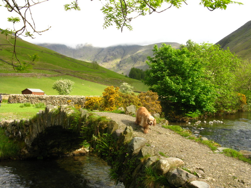
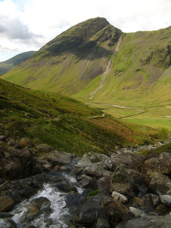
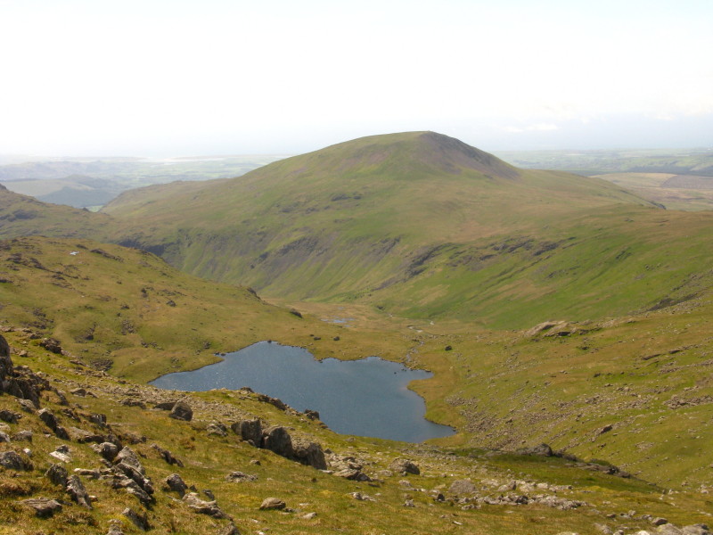
We then cross Mosedale Beck on the little packhorse bridge: Pillar, our
primary objective, is centre picture, with its head in the cloud
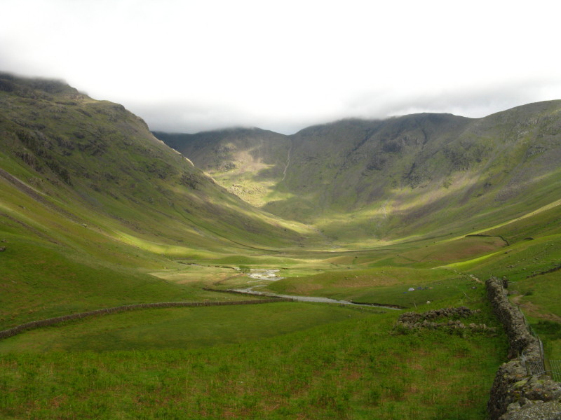
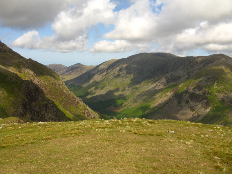
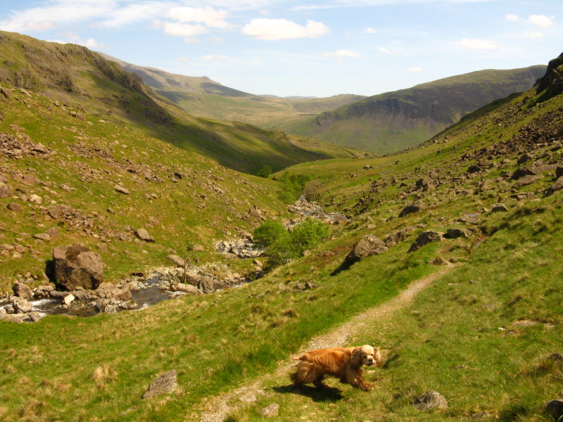
Leaving the bustle of Wasdale Head behind, we make our way up Mosedale:
we will be walking the ridge around the head of upper Mosedale, from
Black Sail Pass around to Red Pike

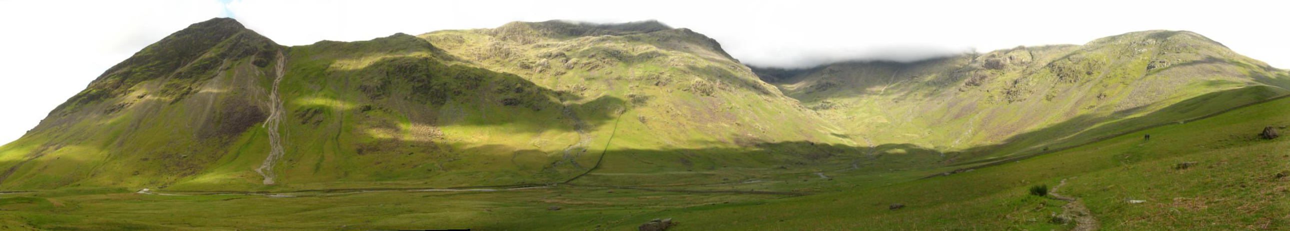
Making our way along the north side of Mosedale, a view of all of the
dale and most of its fells, from Yewbarrow on the left round to Pillar
and Looking Stead.
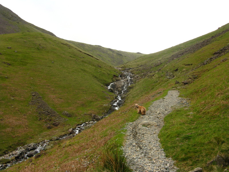
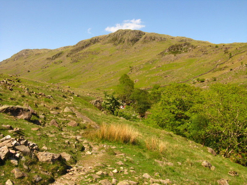
Ascending along Gatherstone Beck towards Black Sail Pass
Crossing Gatherstone Beck, a look back across Mosedale to Yewbarrow and
the scree run of Dore Head
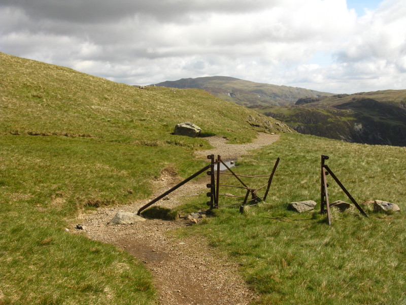
Black Sail Pass, with its dilapidated gate still in place. The weather
is sunny here but there is still a lot of cloud and it is still covering
the highest summits.
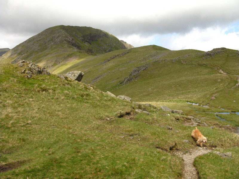
Heading towards Looking Stead and Pillar, now without cloud. I passed a
man near here who had waited half an hour on top of Pillar waiting for
the cloud to clear, before giving up - and was now looking back at the
cloud-free summit.
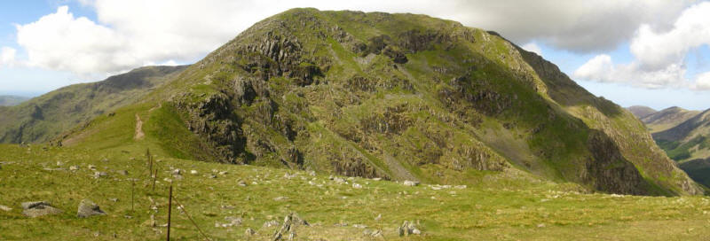
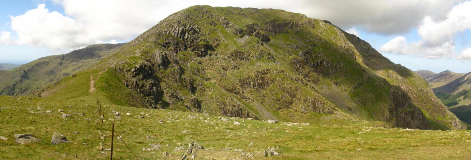
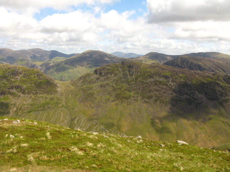
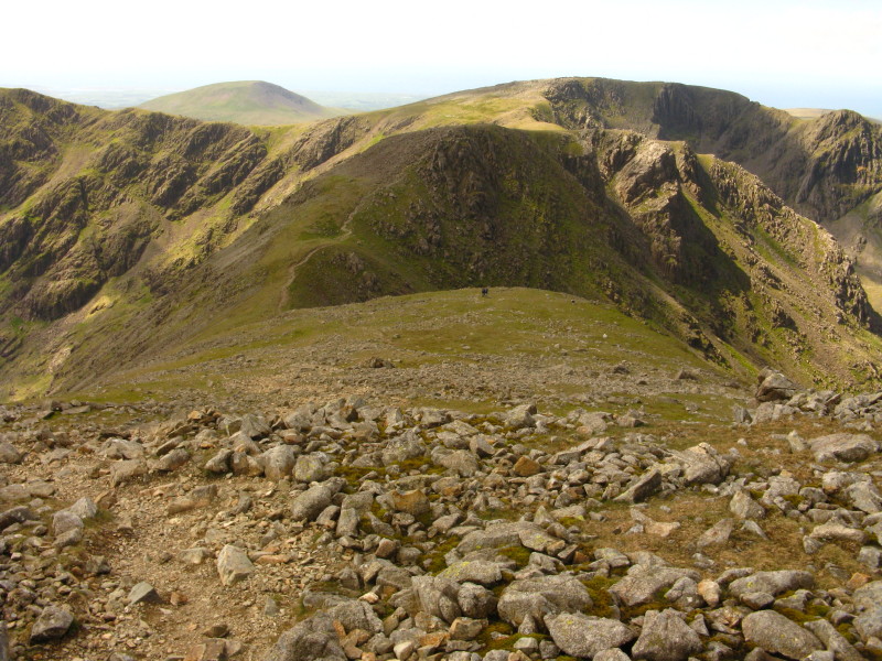
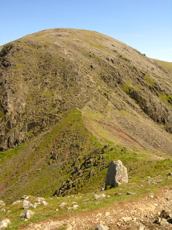
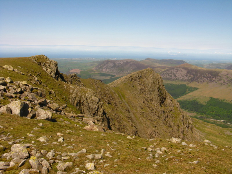
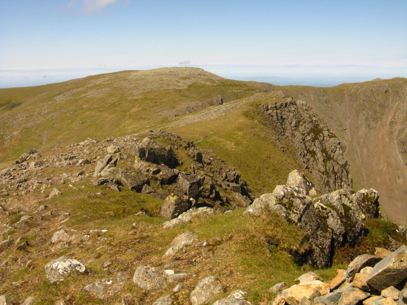
The view of Pillar from the top of Looking Stead
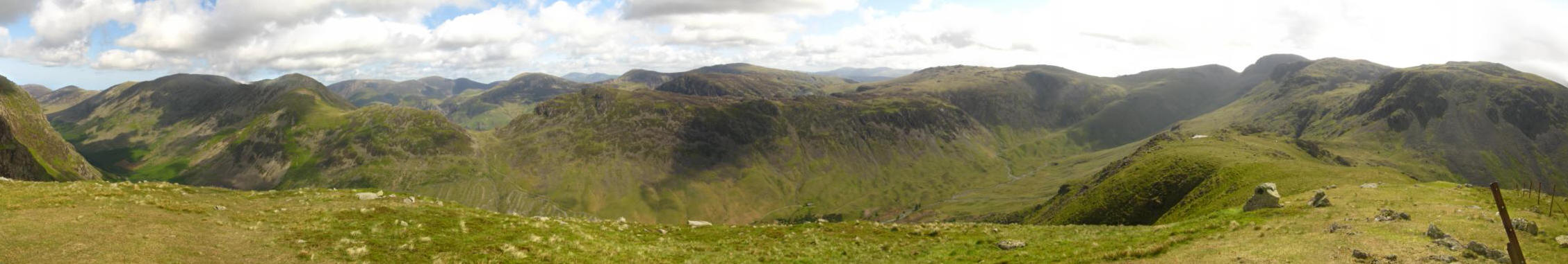
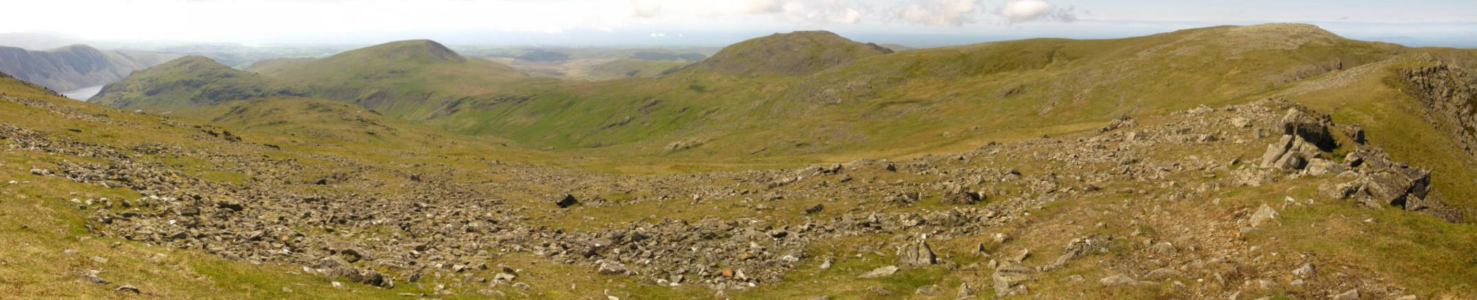
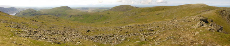
Part of Ennerdale from Looking Stead

A panoramic shot of Ennerdale (click for larger version).
Haystacks centre picture, with Skiddaw peeking into view above Haystacks
between Robinson and Hindscarth
Looking northeast from the summit of Pillar - the view includes Skiddaw
and Blencathra left, the Pennines centre, and the Helvellyn range round
to the right.
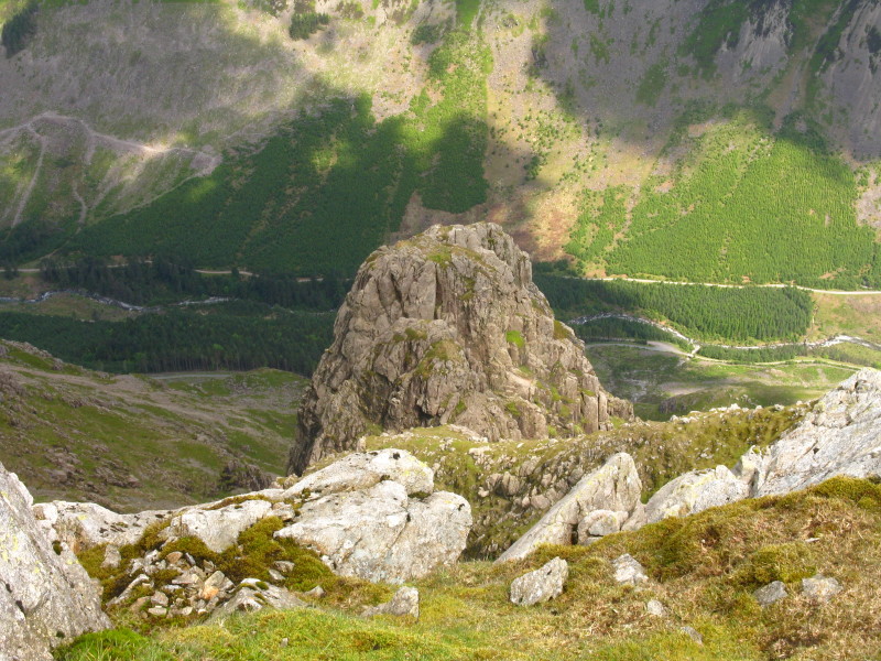
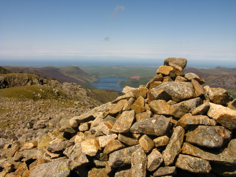
From near the summit of Pillar, looking down on Pillar Rock into
Ennerdale.
Descending from Pillar towards Wind Gap, past which our route will
continue on past Black Crag to Scoat Fell (centre-right).
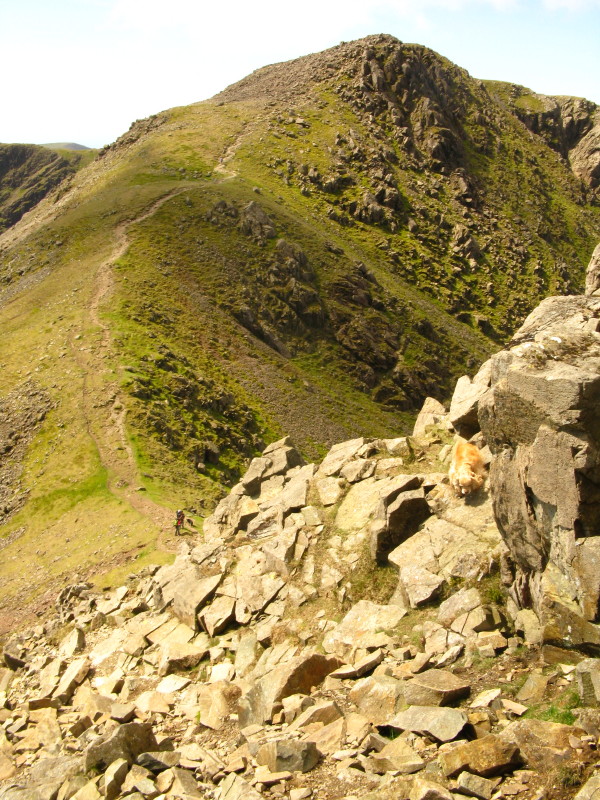
Approaching Windy Gap, with George the mountain dog far more sure-footed
than I am.
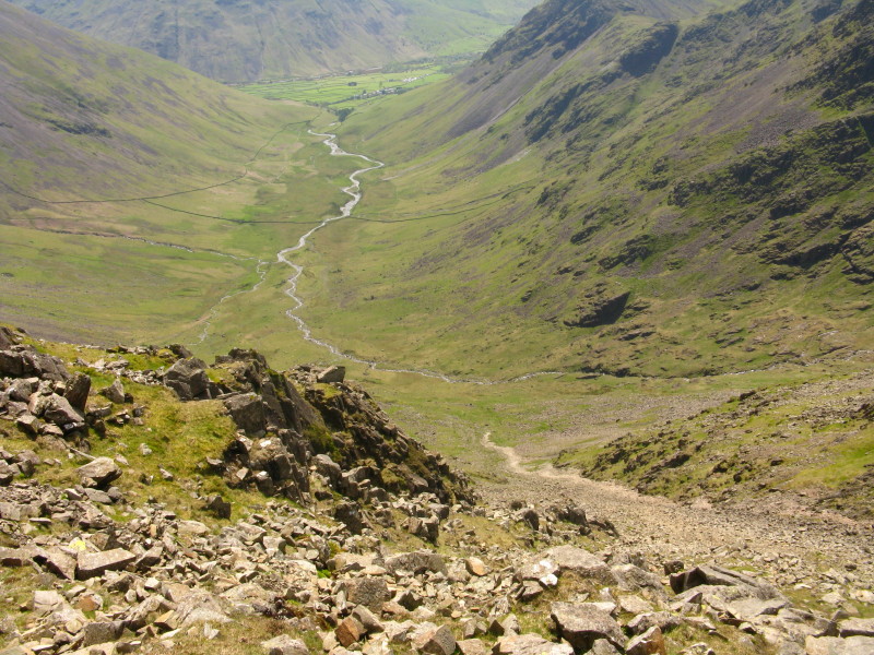
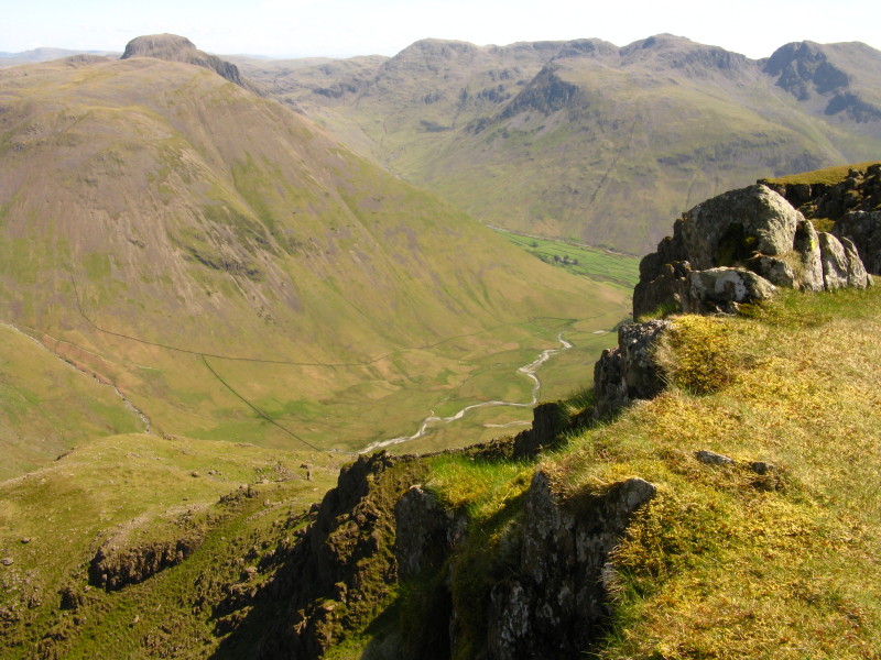
From the col of Wind Gap, looking down Mosedale to Wasdale Head
And in the other direction, Wind Gap Cove, Ennerdale Water, the sea (and
Scotland, though it doesn't show up well on the photo).
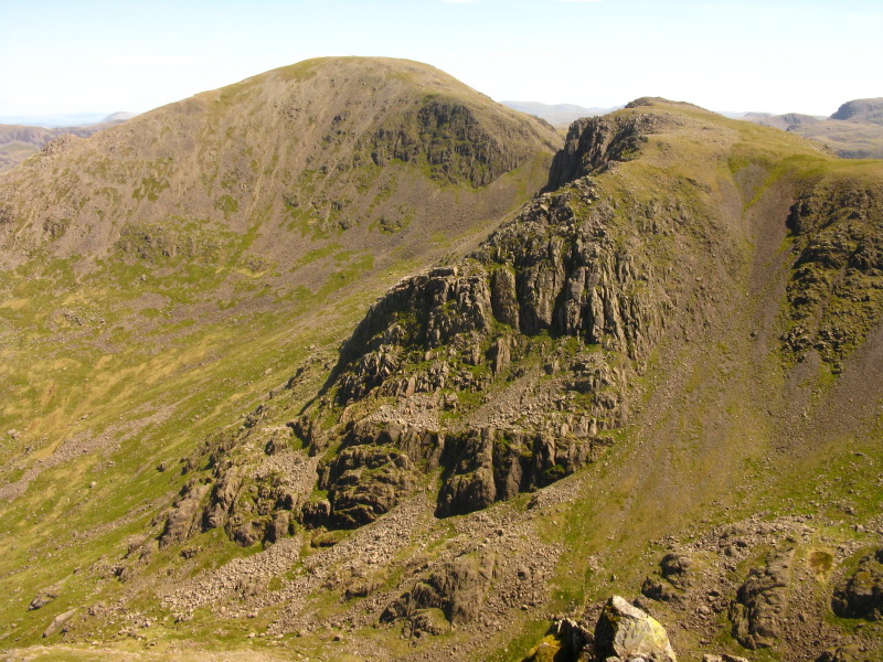
Ascending Black Crag, a look back across Wind Gap to Pillar

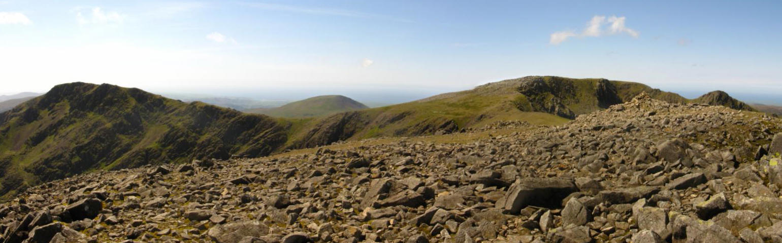
From Black Crag, a view ahead to Red Pike (left) and Scoat Fell
(centre-right).
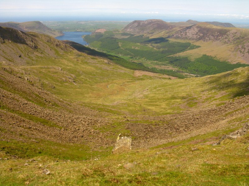
Ennerdale Water and the sea from Black Crag
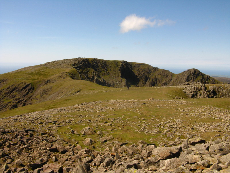
Scoat Fell and Steeple from Black Crag
Looking across Mirk Cove to Steeple
Steeple from Scoat Fell
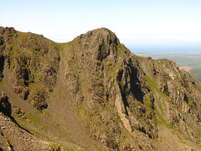
Black Crag and Pillar from Steeple
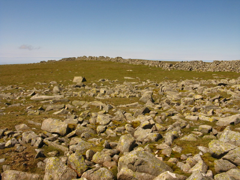
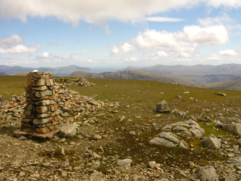
Back on the flat summit of Scoat Fell after the very worthwhile
diversion to Steeple
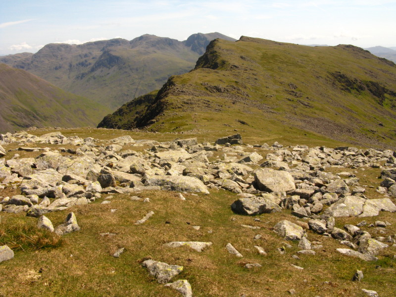
Taking a pathless but easy route down Scoat Fell towards Red Pike, with
the Scafells behind.
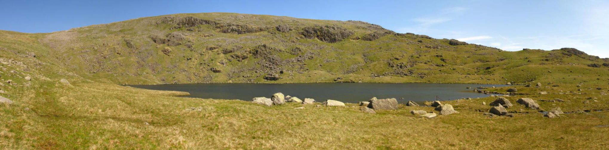
Ascending Red Pike, a look down at Scoat Tarn our route of descent, with
Seatallan beyond.
The top of Red Pike is right on the edge of the steep crag: looking back
to the more rounded Scoat Fell.
Looking down into Mosedale from Red Pike
From the top of Red Pike, the valley of Nether Beck - our route of
descent

We have descended from Red Pike to Scoat Tarn
Making our way down Nether Beck
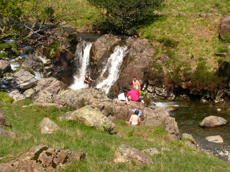
That water looks very cold, but that woman on the left was under the
waterfall a moment ago.
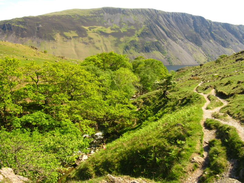
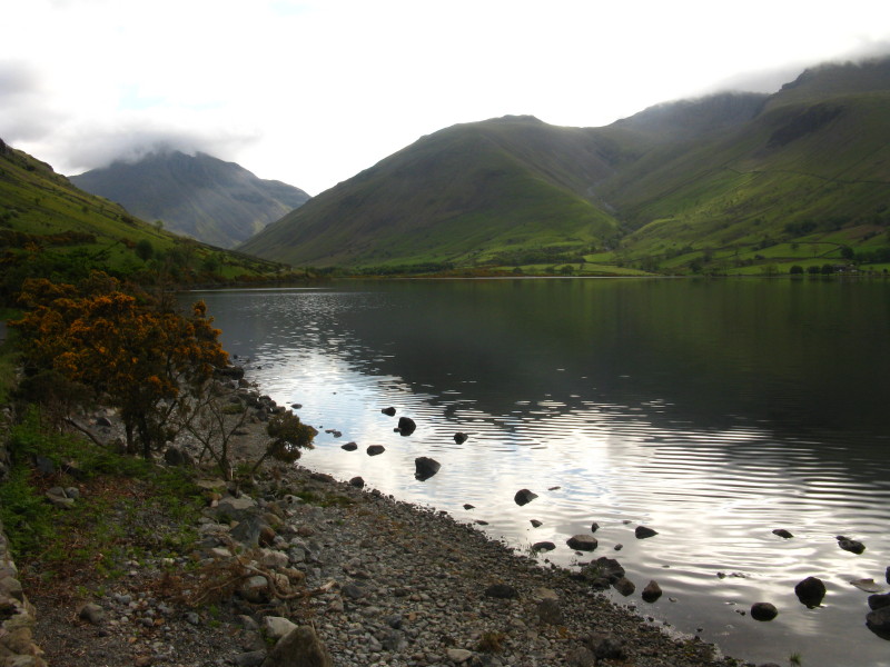
The Wastwater Screes
Looking back up Netherbeck, with the crags of Knott Ends looking down -
probably relatively little explored, though away from Wastwater I saw
only a handful of people even on a sunny Bank Holiday and half-term
Sunday.

The glorious views of today's walk continued right till the end, with
here Yewbarrow, the Scafells and the Screes below Illgill Head and Whin
Rigg.
A closer view of the Scafells
And a last look at Yewbarrow past the bluebells as we walk the short way
along the road back to the car park.
Zoom in for more detail, or click to view larger map in new window
A long walk, which could have ended being a flop if the cloud hadn't lifted, but
which turned out really well with a high ridge walk.
Total distance 20.0 km and 1302 metres of ascent in 7 hours 33 mins.
Lake District holiday, May 2009
|
|