Mellbreak
11 September 2010
I repeated yesterday's practice of setting off late morning after a
bit of shopping, driving to my walk - this time at the Scacehill Bridge
carpark near Loweswater -, having lunch and then setting off for an
afternoon walk.
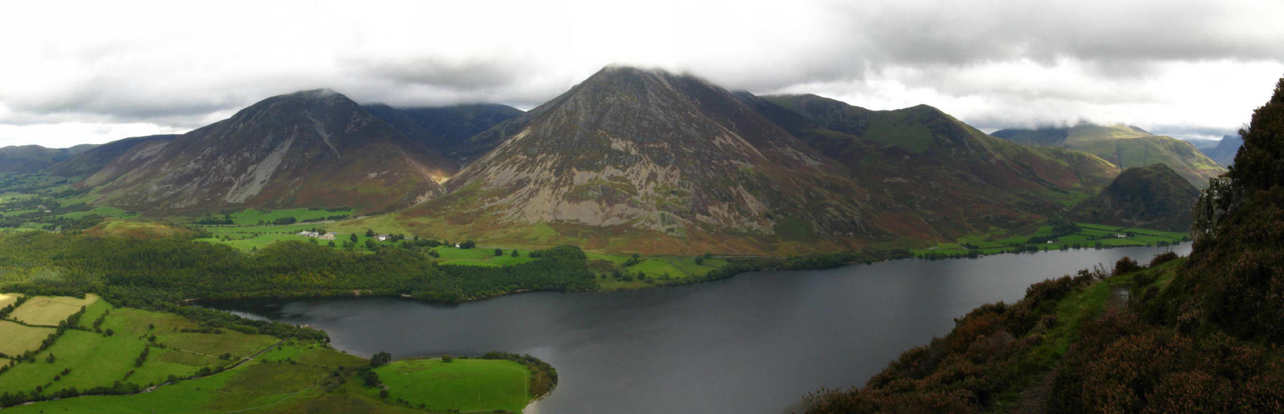
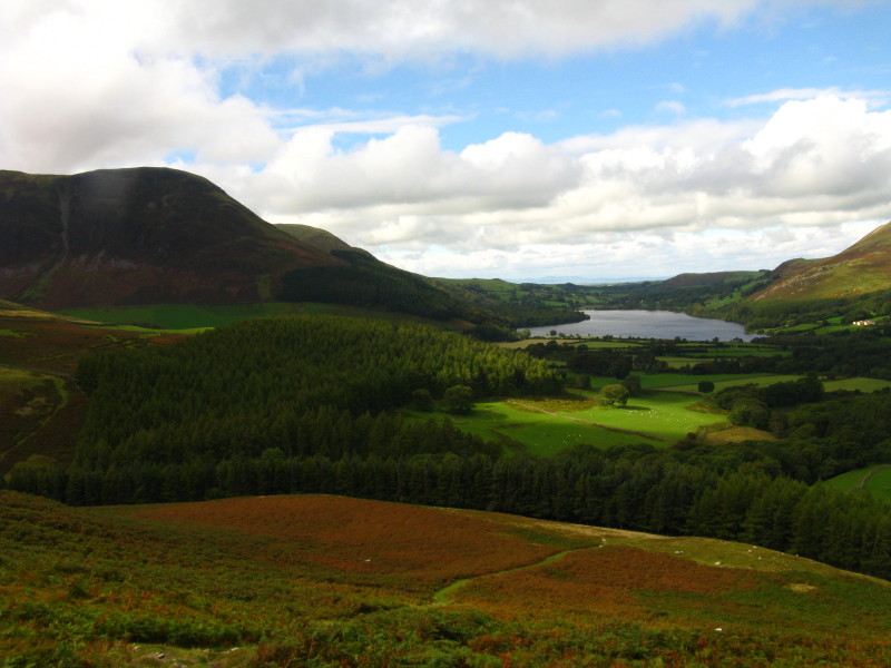
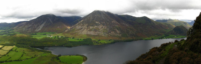
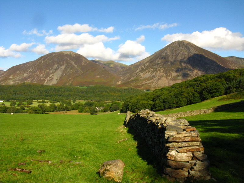
Mellbreak across the low-lying land between Crummock Water and
Loweswater
Grasmoor across Highpark with a glimpse of Crummock Water
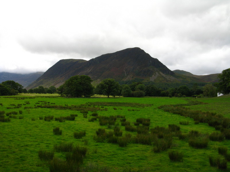
Mellbreak as I ascend through Green Wood
Looking back along the line of ascent through the bracken, with
Loweswater in the distance.
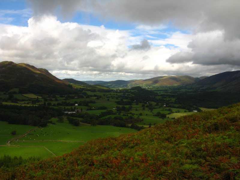
Looking along Lorton Vale
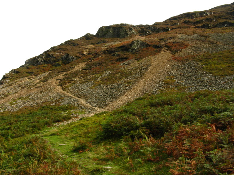
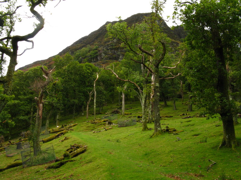
The route of ascent climbs across the scree and winds among the crags,
with a few short sections where the footing is rather loose.
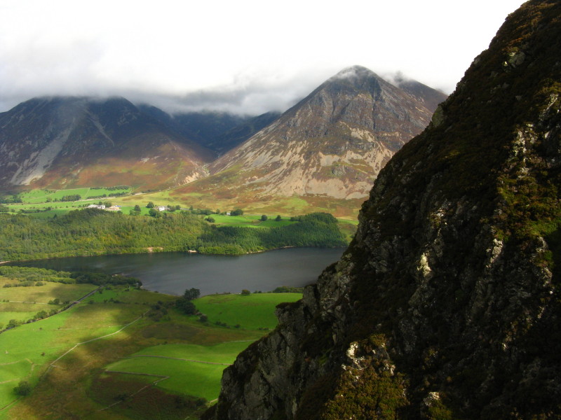
Looking around the northern crags of Mellbreak to the end of Crummock
Water, with Grasmoor on the right and Whiteside on the left.
A similar view from a little higher, with a more extensive view along
Crummock Water
One of the two northern summits, looking to the southern summit
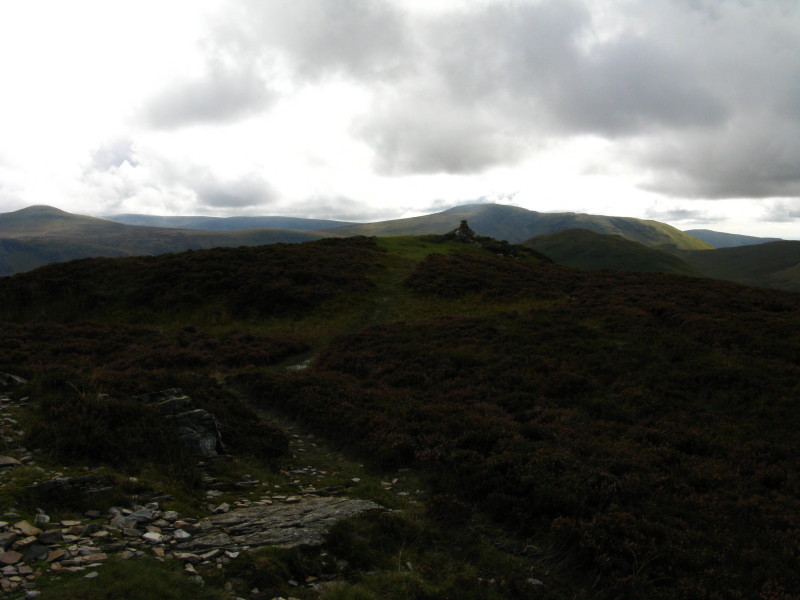
The other northern summit
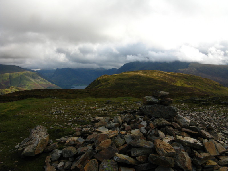
Loweswater and Scotland across the Solway Firth
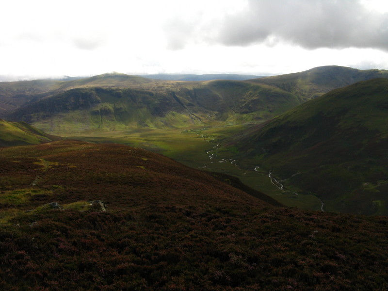
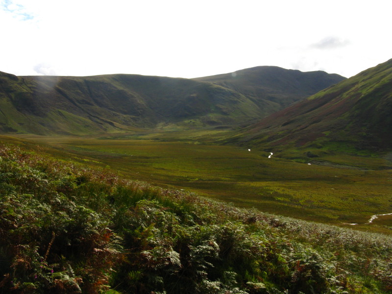
Looking down into the head of Mosedale, with Starling Dodd and Great
Borne forming the barrier beyond which is Ennerdale Water
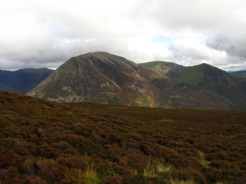
The Grasmoor massif
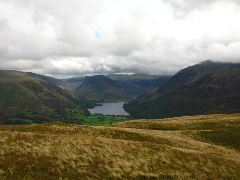
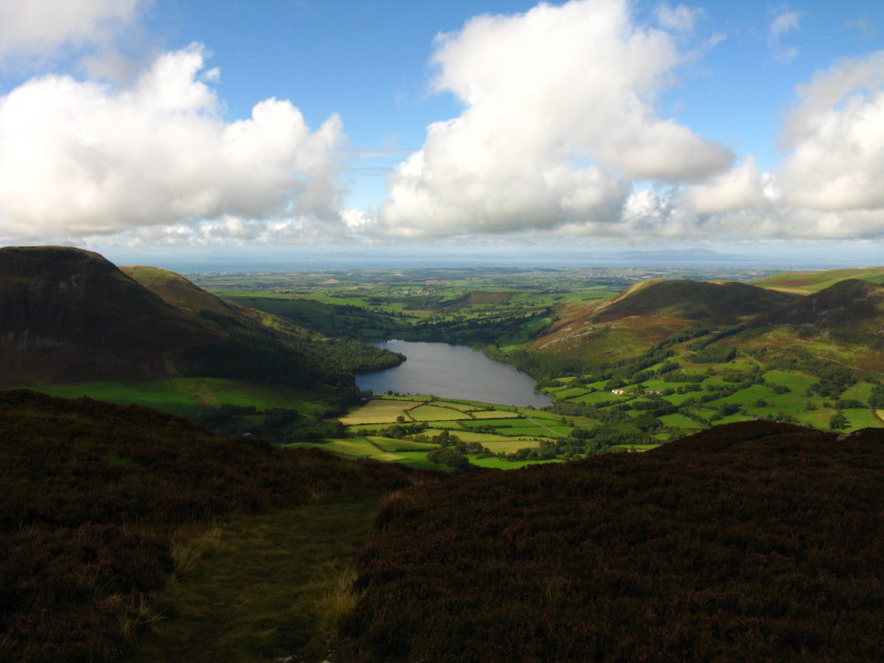
Buttermere
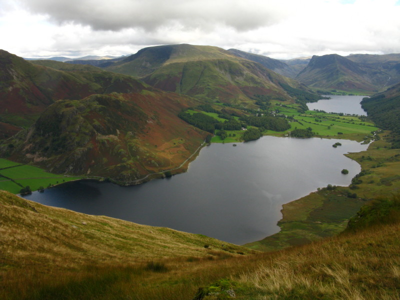
Crummock Water and Buttermere
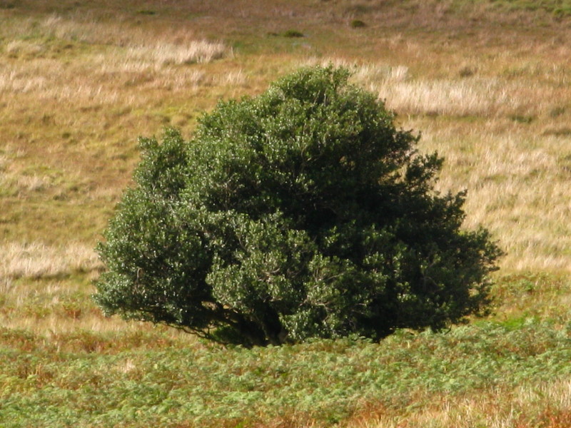
Returning along Mosedale: the tree is marked on the map as "Mosedale
Holly Tree", the only named tree on the OS maps of the Lake District
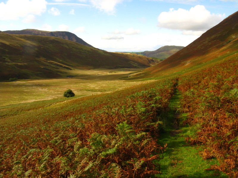
Mosedale head again
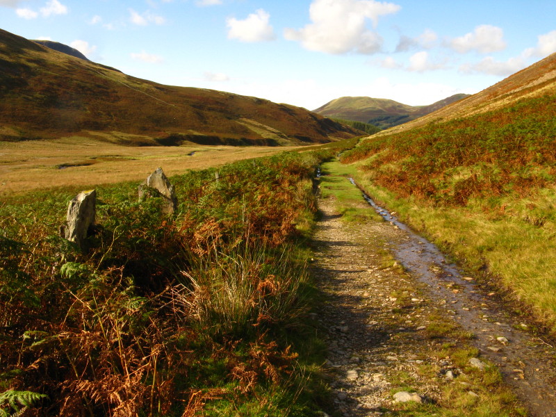
An old fence runs alongside the track, with several pairs of stone
gateposts, long since bereft of their gates
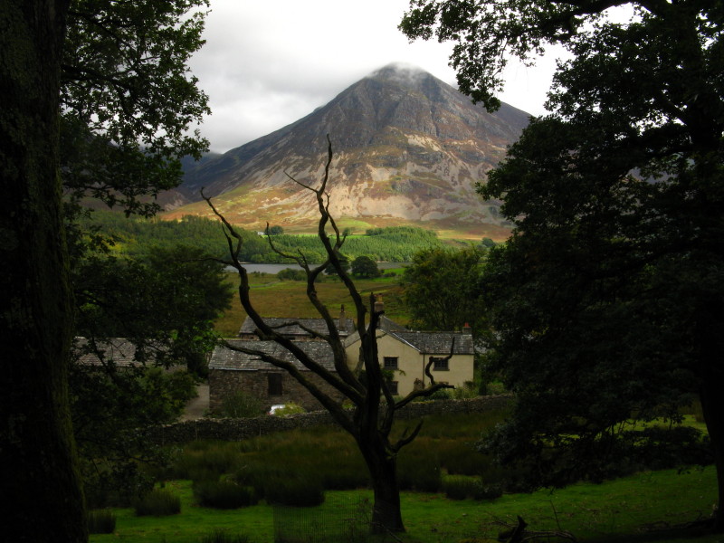
Whiteside and Grasmoor as I make my way towards Loweswater village
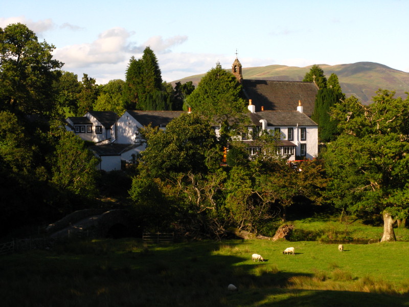
Kirkstile Inn in Loweswater, together with the church - in reality there
isn't much more of Loweswater.
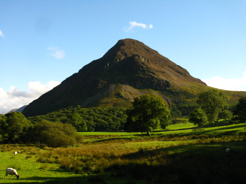
A last look back at Mellbreak
Zoom in for more detail, or click to view larger map in new window
A challenging ascent followed by a simple walk with some great views - very
enjoyable.
Total distance 11.1 km and 489 metres of ascent in 3 hours 48 mins
Lake District holiday, September 2010
|
|