Shropshire & Herefordshire Hills
8 and 9 January 2010
Meetings first near Monmouth and then near Telford
allowed Stephen to use up a day of last year's holiday with a bit of
walking. The excess of snow led to a bit of hesitation, but with the
hotel booked and non-refundable, it would have been a shame to miss the
chance. With some changes of plan to ensure all the walks started from
B-roads rather than more isolated locations, it was a good day and a
half, increasing the Marilyn
tally by three.
High Vinnalls
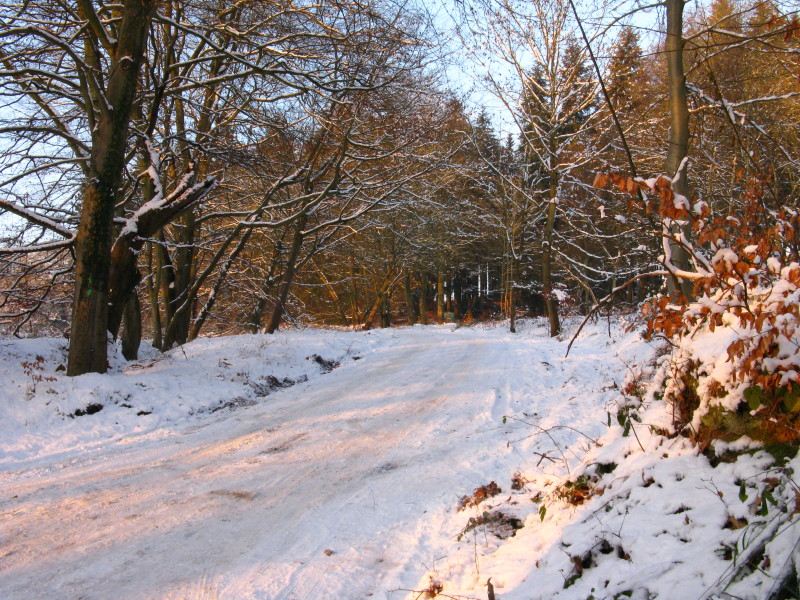
The road into the car park, which proved too much for my car. But I put
it at the entrance, and set off up the hill
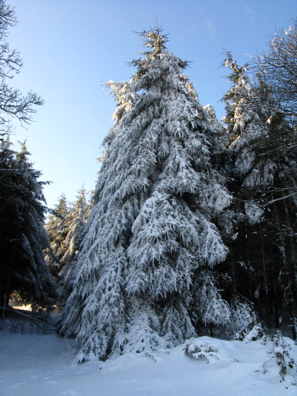
First deciduous trees
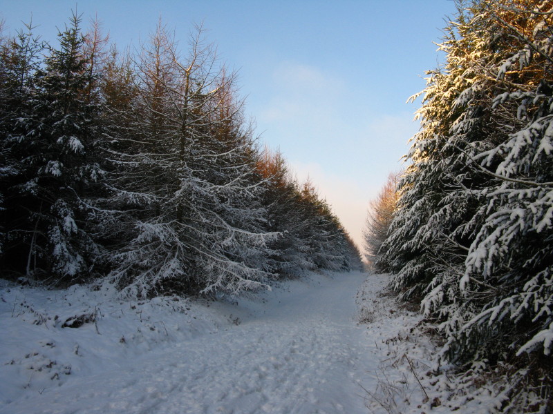
Then conifers. The going was pretty easy
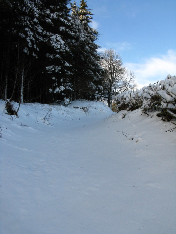
Jumping Jack Common, where in places the snow was rather deeper -
perhaps 40 cm, but mostly less than that.
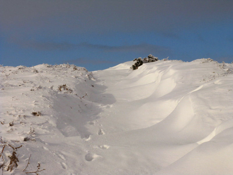
And rather suddenly and to my surprise, I was at the summit of High
Vinnalls. The path I had followed was not shown on the OS map - I had
expected to follow the bridleway to the south-west and then south,
reaching to the summit along the forestry track running northwards. But
the forest shown on the map simply wasn't there, and the easy going
across grassland under snow brought me to the top.
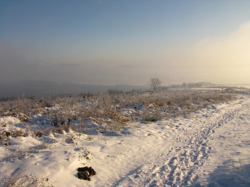
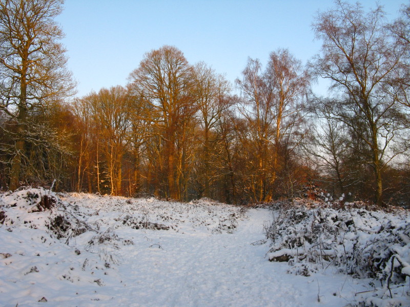
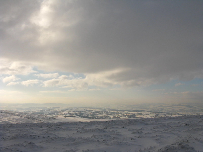
Descending a slightly different way, the view to the east.
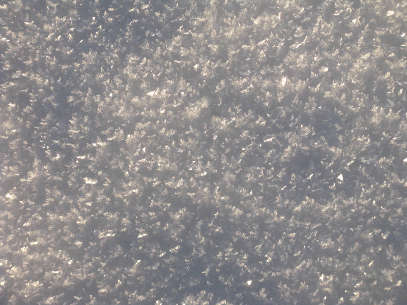
The snow was very dry - lots of big ice crystals.
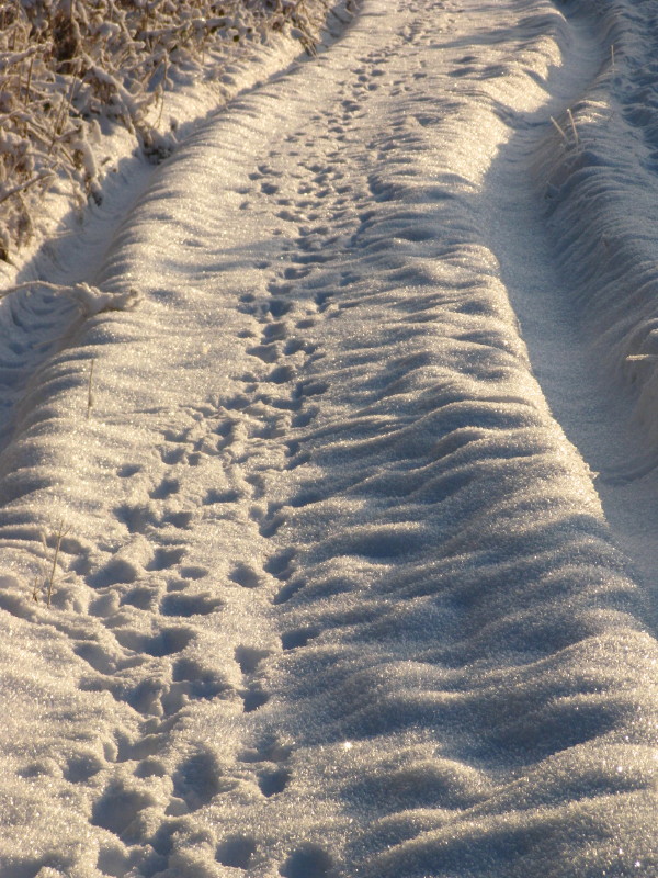
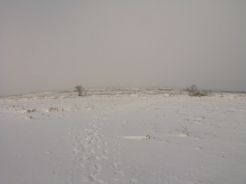
Following animal tracks in the snow, but no humans have been this way.
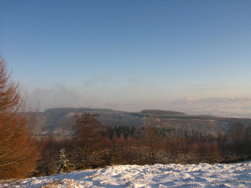
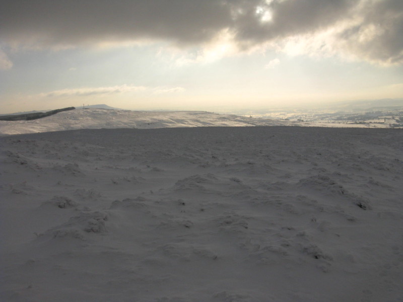
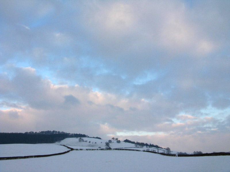
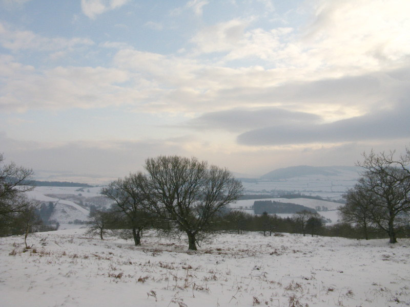
On the right is
Titterstone Clee Hill, already visited in 2006, and centre-left
disappearing into the haze is Brown Clee Hill, this afternoon's target.
Zoom in for more detail, or click to view larger map in new window
Total 5.3 km and 237 metres ascent in 1 hour 37 mins.
Brown Clee Hill
With the snow making a main road start wise, my planned route up Brown
Clee Hill was changed for one starting on the B4364 between Burwarton
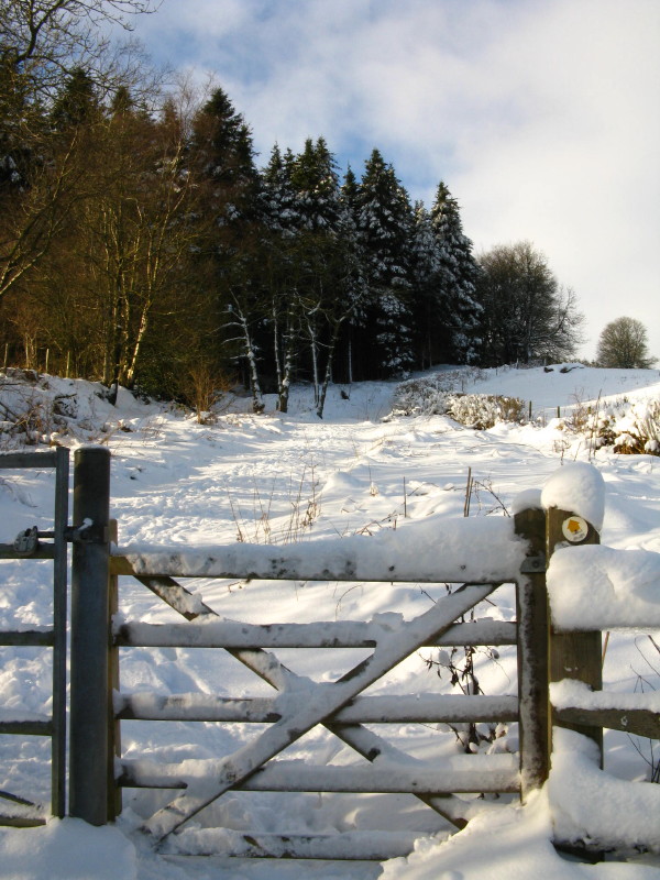
and The Gore. A track enabled me to gain some height easily. At this
point the gate enables me to leave that track and get onto the higher
ground.
No-one has been this way
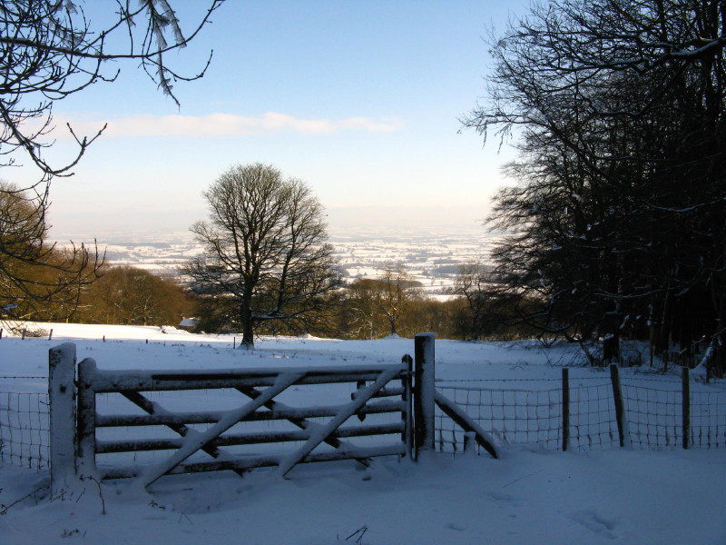
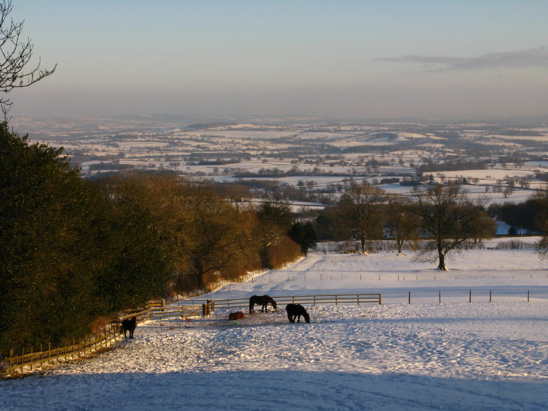
Looking back over Shropshire
The trees don't look very English
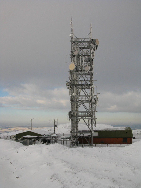
First view of the masts on top of Brown Clee Hill, still a little way
off
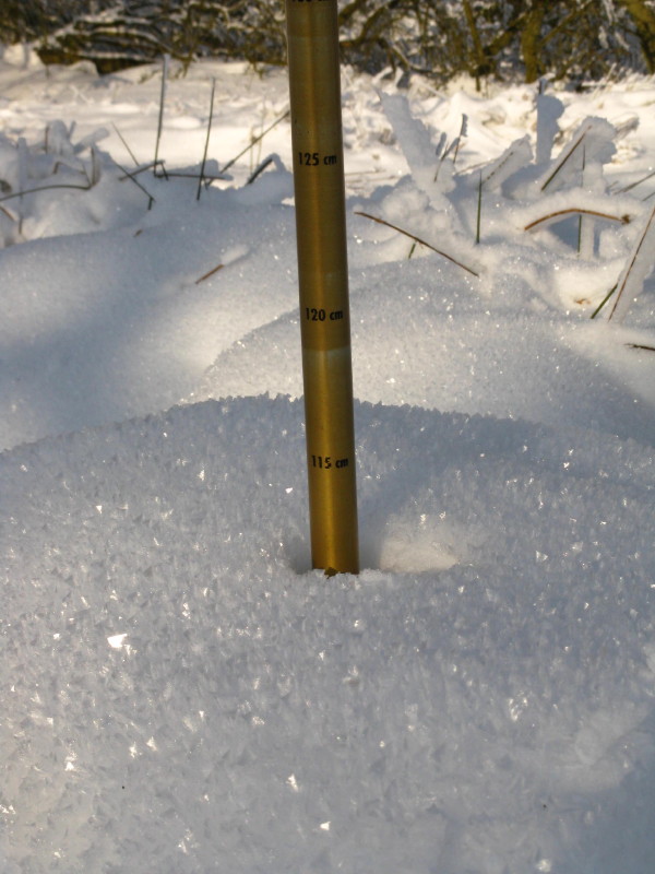
It's not actually that deep - but there were regular patches where the
snow was up to my knees, and the odd drift that I accidentally found
where I was up to my waist.
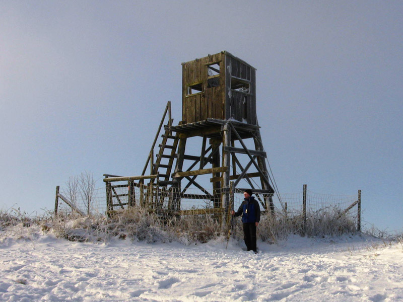
Onto Brown Clee Hill itself
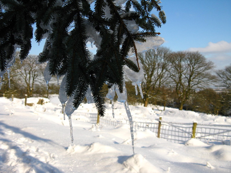
The frozen wastes of Shropshire and Herefordshire
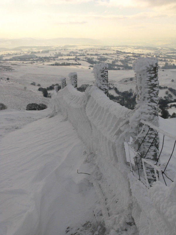
Ice on the fence
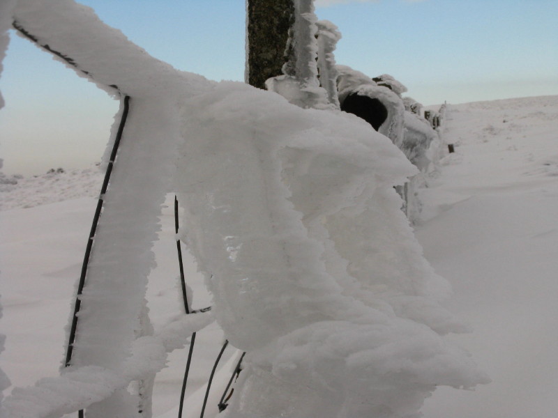
Always a sign that it's been a bit chilly
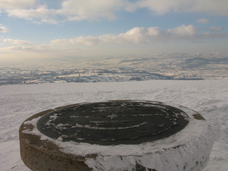
The toposcope which replaced the trig point. Despite the inscription
saying that it is the highest point in Shropshire, it isn't.
The knoll on the other side of the mast is a little higher, so it was a
drift-filled and somewhat difficult trip around there to ensure the
highest point had been visited.
Looking back across Brown Clee HIll to Titterstone Clee Hill on the left
skyline.
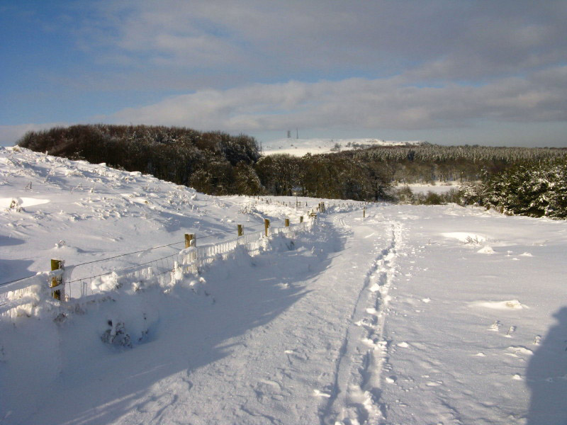
Returning down the hill to the car. Walking, I caught up a 4x4 which was
driving very cautiously down the hill, but perhaps I inspired the driver
who put on a burst of speed as I approached and pulled away from me.
Zoom in for more detail, or click to view larger map in new window
Total 8.7 km and 305 metres ascent in 2 hours 45 mins.
Burrow
Saturday morning, and it will soon be time to head back to Suffolk, but
first a climb up Burrow, from the village hall car park at Aston on
Clun.
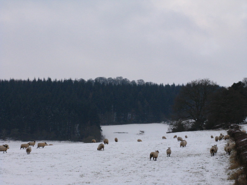
Sheep running away from me.
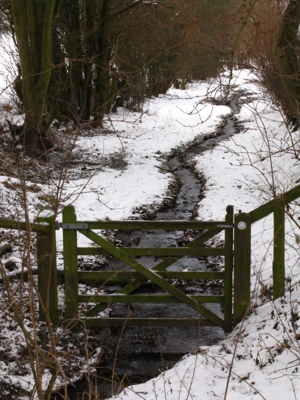
I wasn't terribly impressed with the first part of the path, which was
really a stream bed. Fair enough, I suppose, if that's where the
right-of-way happens to be, but did the gate really have to be put
precisely there?
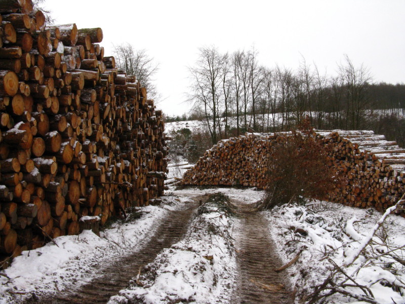
Reaching the col at the neck of the forest, there are some forestry
operations underway.
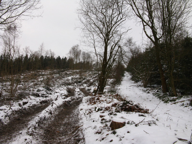
On the right is the forestry track marked on the map going north-south,
while on the left are the tracks made by the forestry machinery - not
actually using the track.
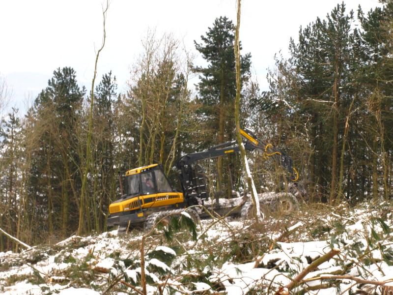
It seemed to power up the steep slope without difficulty, albeit pretty
slowly.
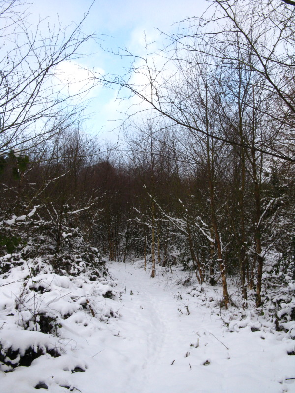
A little path then took me away from the forestry track and up towards
the summit
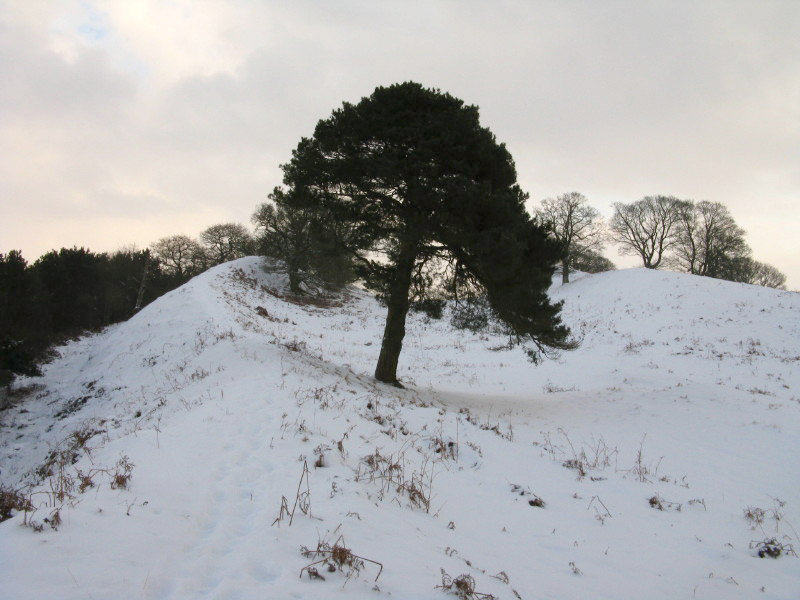
At the top is the Iron Age hill fort of Burrow Camp, favoured with two
natural springs. The banks are quite impressive constructions.
Looking back into the valley.
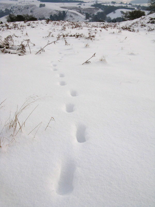
Following a fox's footsteps to the east and a different way down off the
summit.
Zoom in for more detail, or click to view larger map in new window
Total 6.0 km and 249 metres ascent in 1 hour 50 mins.
|