Base Brown and Green Gable
1 January 2011
Having parked the car at Seathwaite, which was surprisingly quiet for a
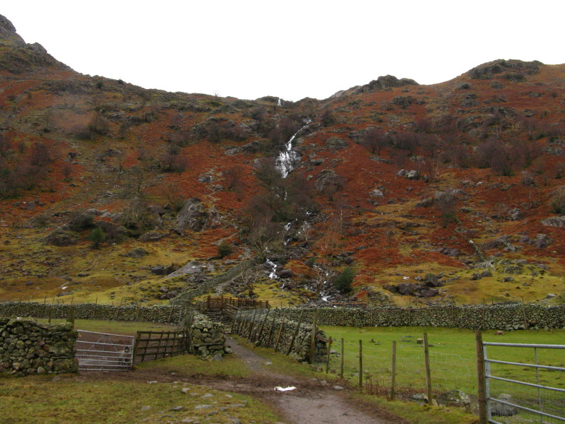
holiday, George and I headed east towards Sour Milk Gill, seen here
tumbling down the hillside. Unseen above is Gillercomb, a rather nice
example of a hanging valley. You can see the path ascending on the left
(true right) bank of the stream.
First we must cross this bridge
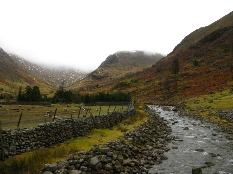
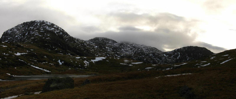
Looking up what I presume is by this stage called the River Derwent to
Seathwaite Fell just disappearing into the clouds, with the higher fells
all hidden. The slopes coming down on the right of the photo are of Base
Brown, our first hill of the day.
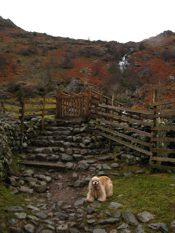
There is a rather unusual stile here, effectively two ladders but
parallel to the wall rather than the more conventional arrangement. The
low angle of the stile meant that it was a bit awkward for me,
particularly carrying George as it wasn't suitable for him.
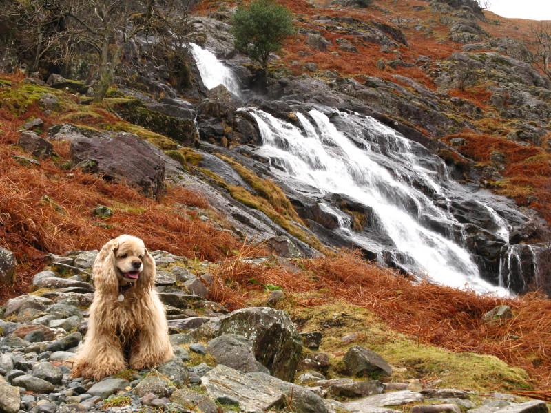
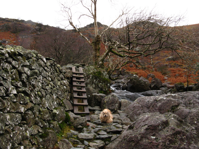
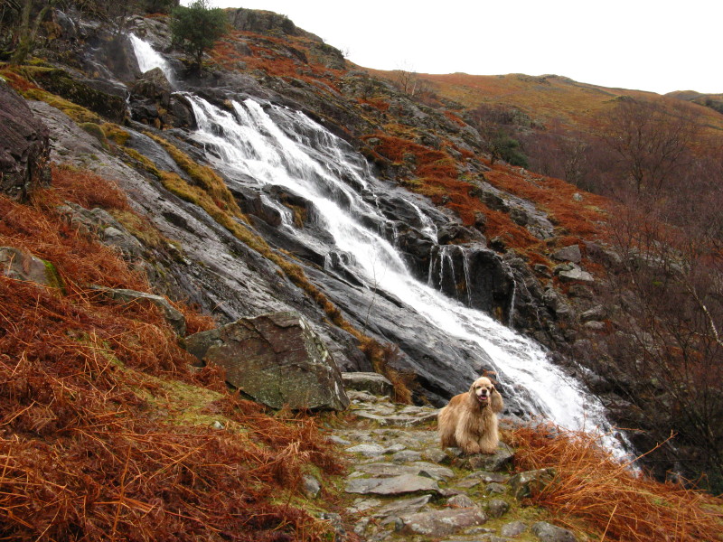
George pauses with the cascades of Sour Milk Gill behind him. This and
the next photo are rather similar, but I liked them so much I kept both.
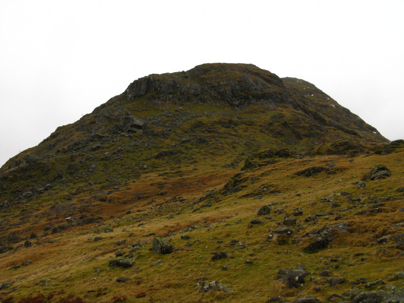
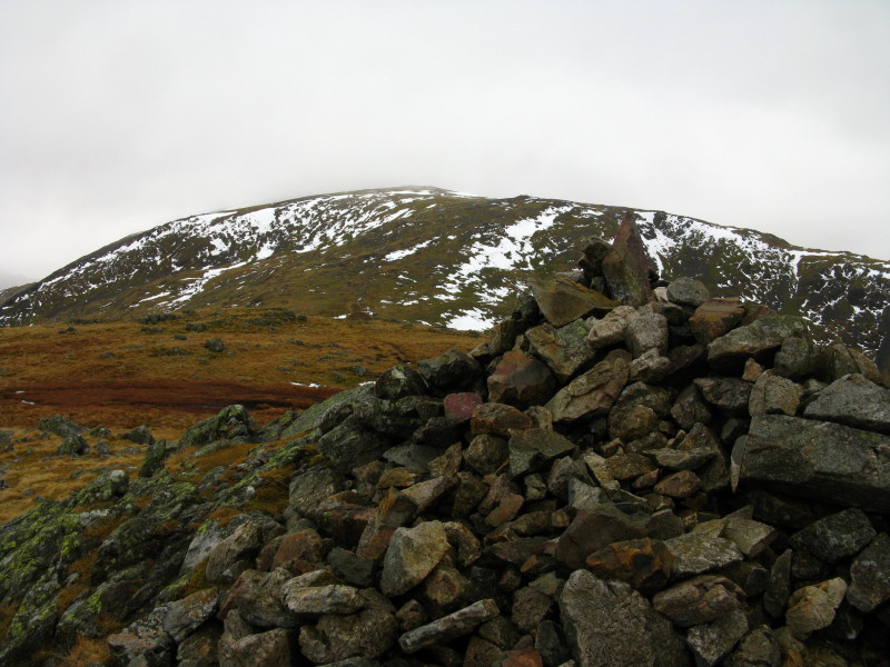
Base Brown. The instructions are to turn off the path when it becomes
quite level and to make for the large boulder. I've yet to see any
Lakeland hill path become "quite level", and at what point does a large
boulder become a crag? The boulder left of and above centre proved to be
the right one.
The hanging valley of Gillercomb revealed. I took it that this was
"quite level" as it didn't look as though it would become more level,
and we struck off up the hillside.
On the ascent of Base Brown, a dramatic look down into the western arm
of Borrowdale
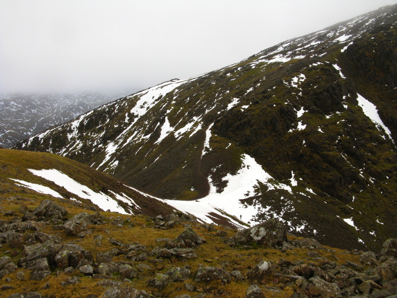
From the top of Base Brown, looking to Green Gable
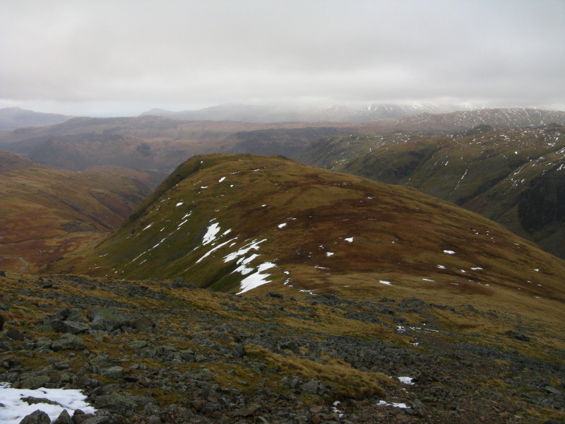
Ascending Green Gable, looking back to Base Brown
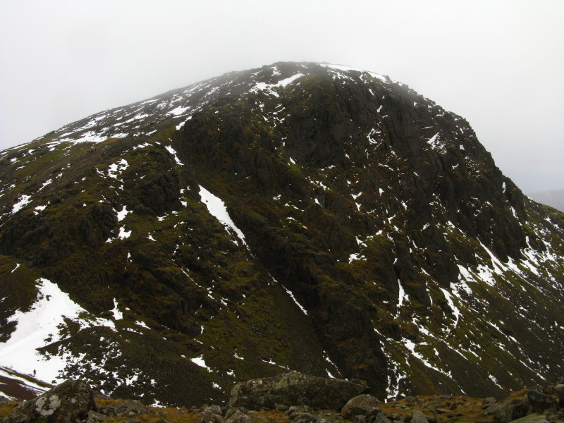
Great Gable from the summit of Green Gable.
Windy Gap, the col between Green Gable and Great Gable. My plan at this
point, having reached the top of Green Gable, was to return to
Seathwaite via Gillercomb. However, I'd found some of the minor
scrambling alongside Sour Milk Gill okay on the way up, but suggestive
of some difficulties on wet rocks on the way down, so I decided on an
alternative route, descending Aaron Slack from Windy Gap to Styhead Tarn
and then back along Styhead Gill.
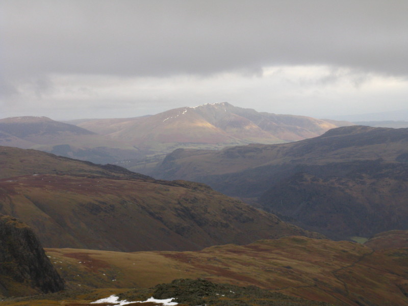
In the distance, the sun has reached Blencathra, a positive sign of
things to come, perhaps.
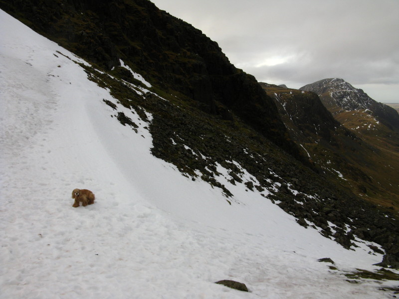
Heading down to Windy Gap - the first entry in the weekend's Spot The
American Cocker (STAC) competition.
George waits for me at the col.
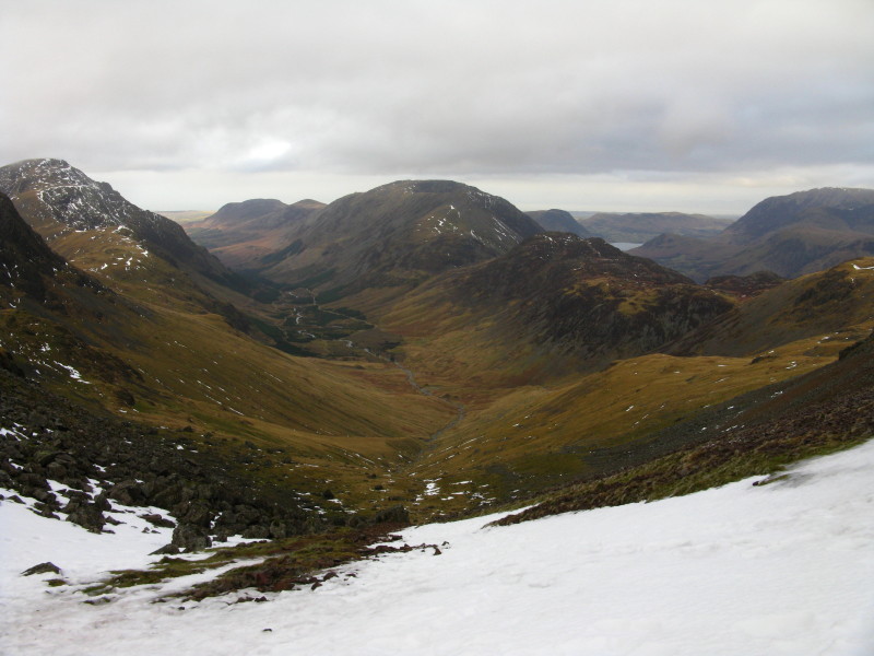
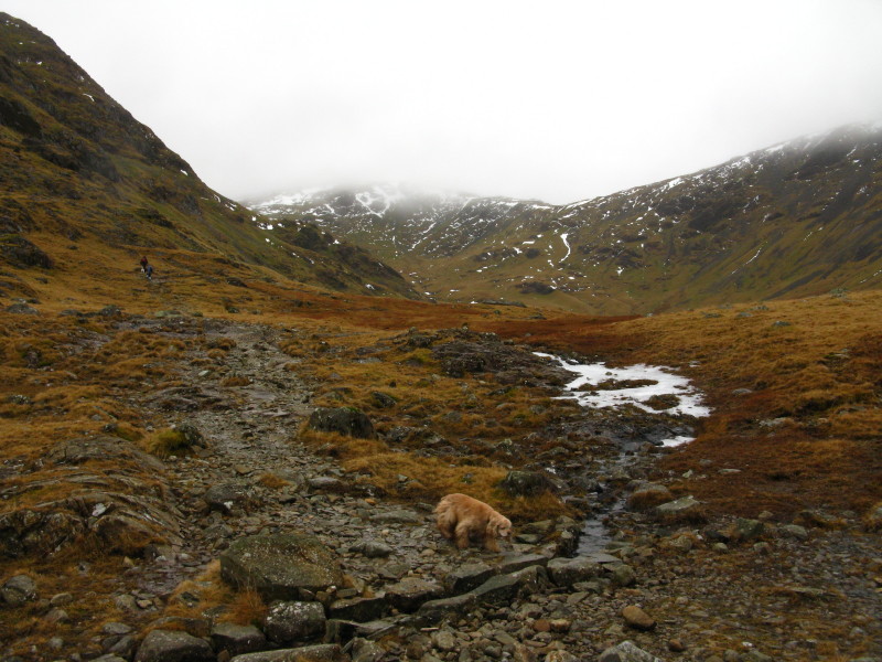
From Windy Gap, a glorious view down Ennerdale. The plan for tomorrow is
to visit High Crag, High Stile and Red Pike, seen centre of picture.
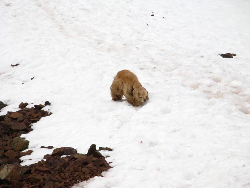
George plays in the snow; Kirk Fell peeks out from behind Great Gable,
with Pillar beyond.
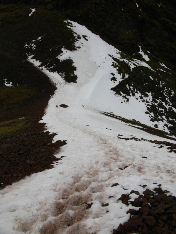
The descent of Aaron Slack is "not recommended" by Wainwright, but I
couldn't see why. The scree isn't so steep as to be difficult, and the
views ahead are splendid today, and even better in clearer weather.
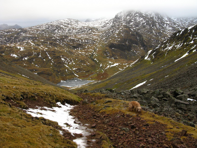
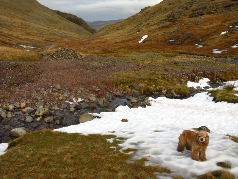
Styhead Tarn is at the bottom, to which the path unerringly leads;
Sprinkling Tarn can just be seen above it, below the cliffs of Great
End.
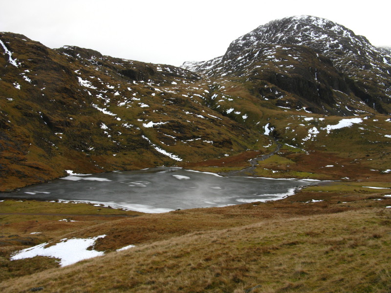
Styhead Tarn, towered over by Great End
Reaching the path down the valley, a look back over Styhead Tarn to
Great End, Broad Crag, Scafell Pike (in the clouds), and Lingmell.
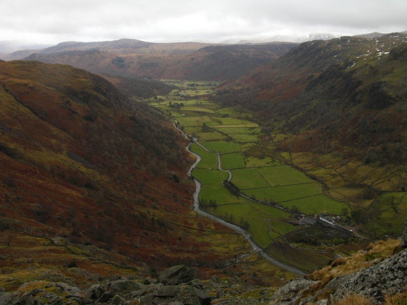
From the same point, looking down the valley.
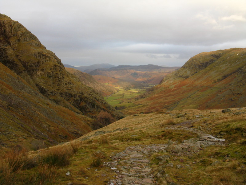
Our route back, looking along Borrowdale
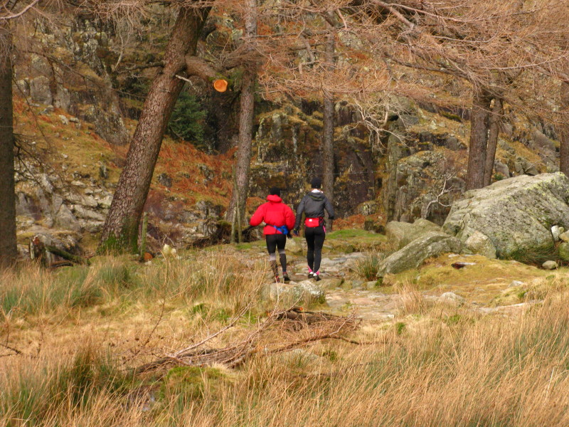
Some fell-runners passed us going down at quite a pace
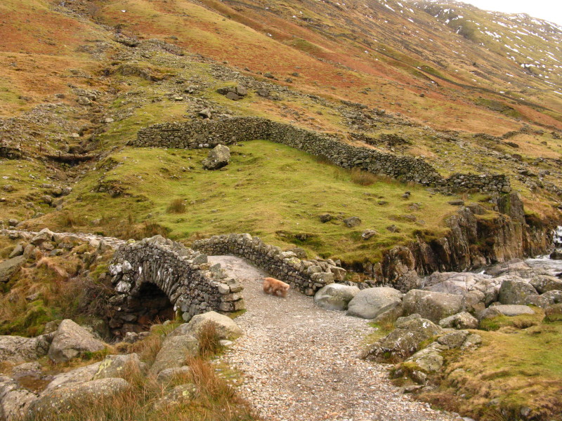
George on Stockley Bridge
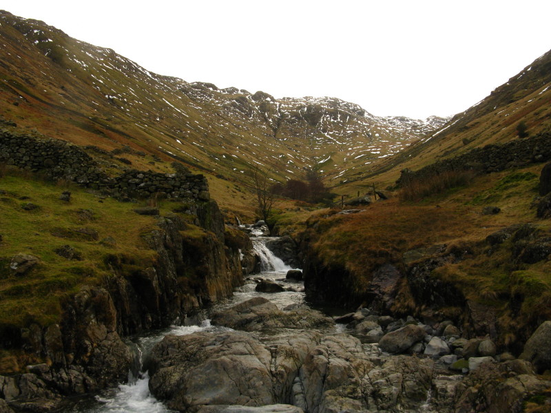
Grains Gill from Stockley Bridge
An enjoyable outing, with a successful change of plan for the return route.
Total distance 8.4 km and 753 metres of ascent in 3 hours 59 mins
Lake District holiday, New Year 2010/11
|
|
