Lake District: Rampsgill Head, High Raise, Kidsty Pike and
The Knott
16 October 2011
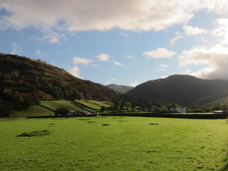
The view from near Cow Bridge car park towards Hartsop village. I had tried to
park in the car park above the village but it was full; the Cow Bridge car park
itself was full by the time I'd parked and got myself ready. I'd left it later
today to start out as it was initially cloudy and the forecast was for better
weather later in the day.
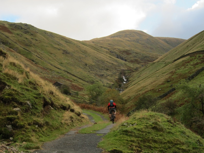
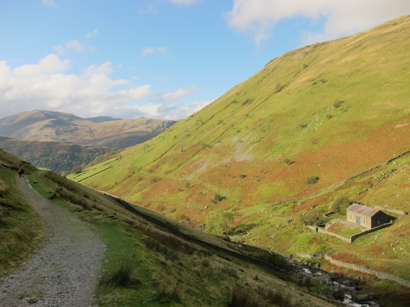
Ascending alongside Hayeswater Gill. The Knott is ahead, the last summit to be
visited today.
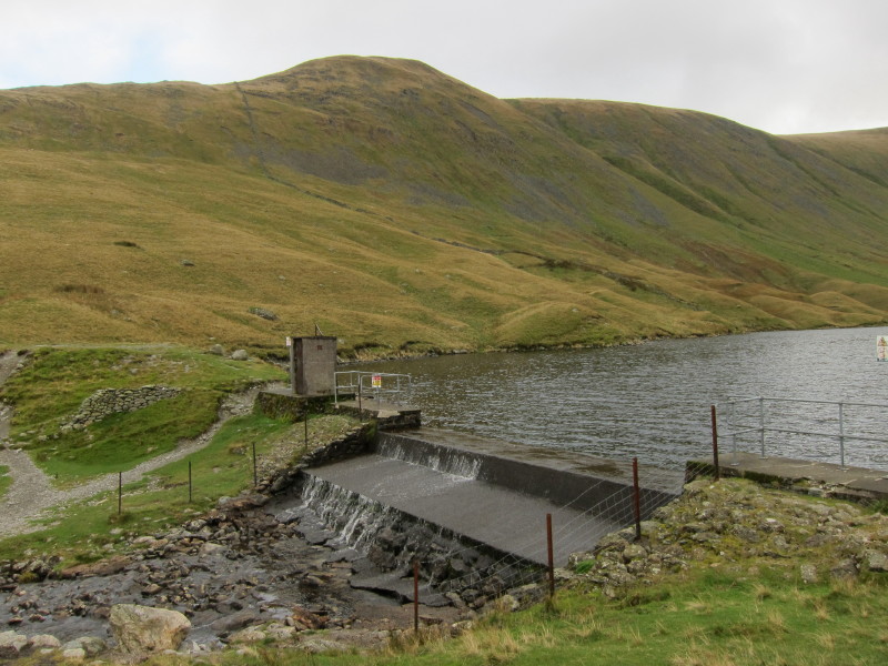
The dam at the foot of Hayeswater, with The Knott in the background.
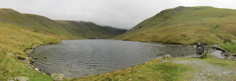
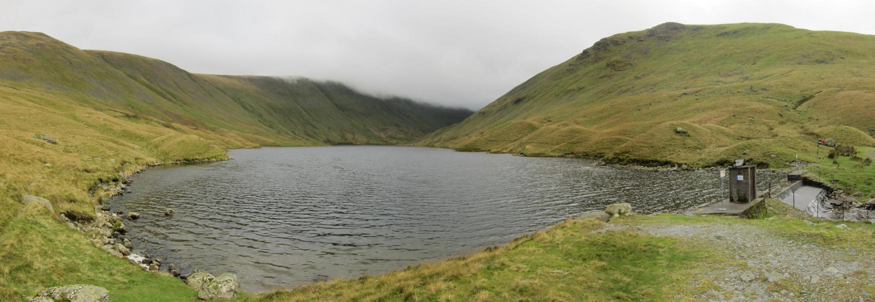
Hayeswater
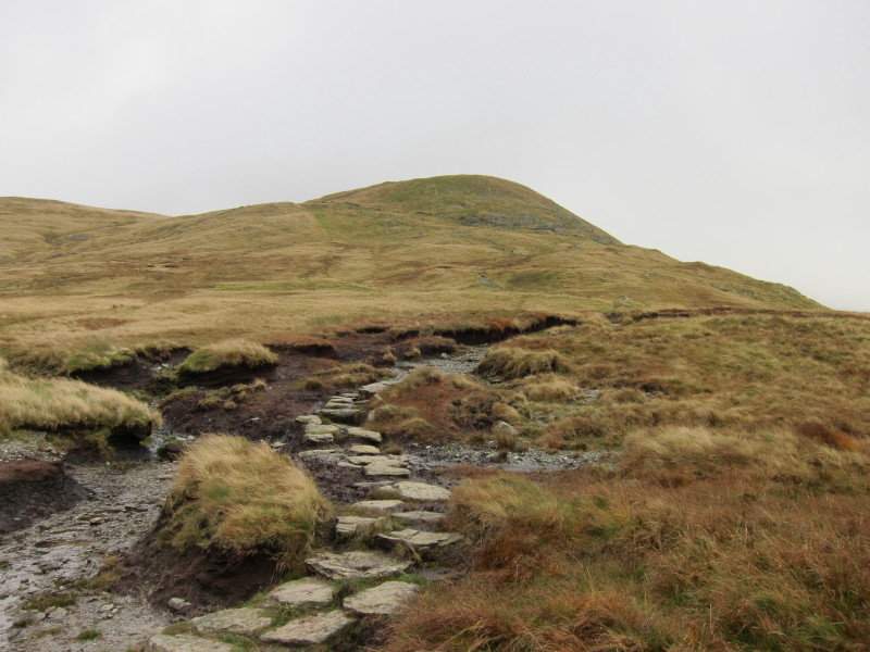
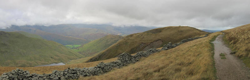
Reaching the flatter land between Rest Dodd and The Knott.
After ascending using the path around The Knott, it is time to strike off across
Well Gill towards the cliffs of Rampsgill Head
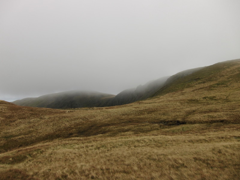
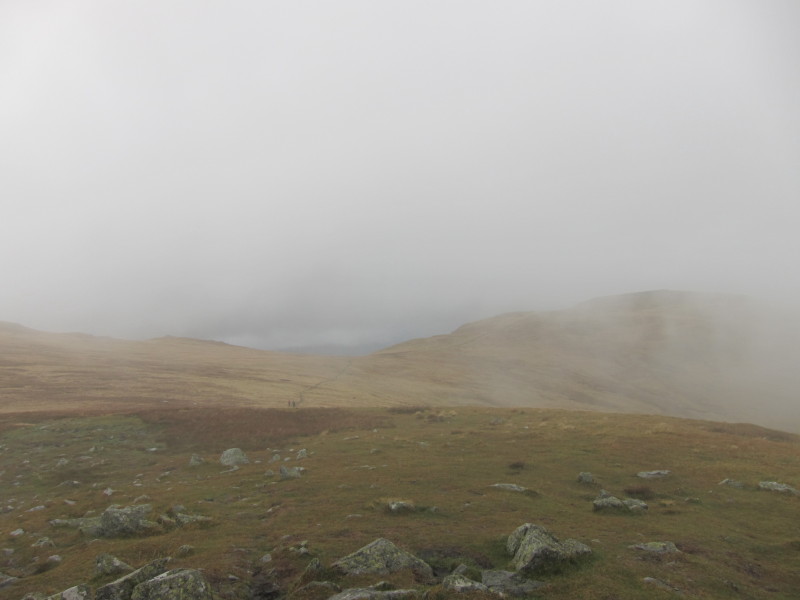
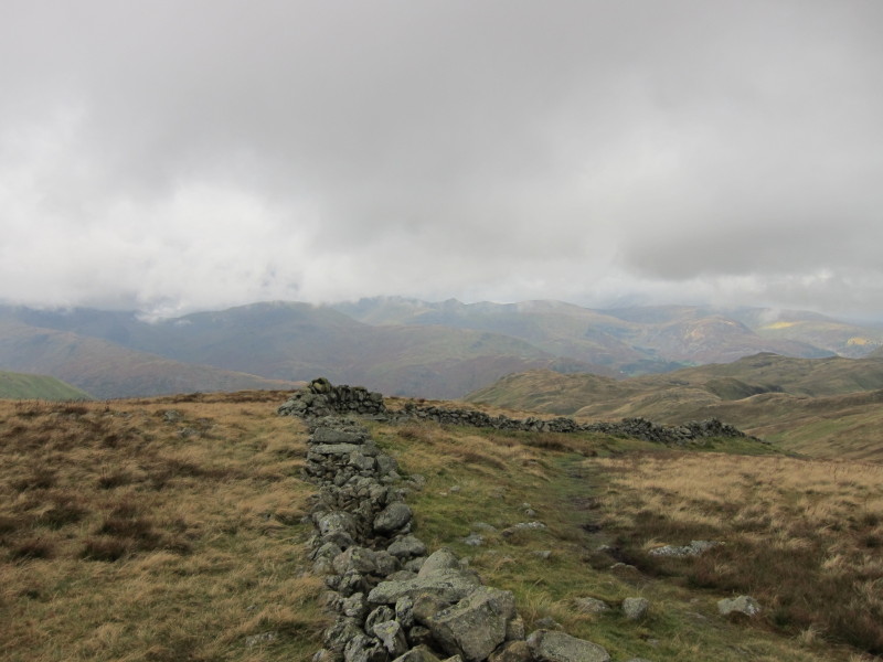
From Rampsgill Head, a glimpse through the cloud of High Raise
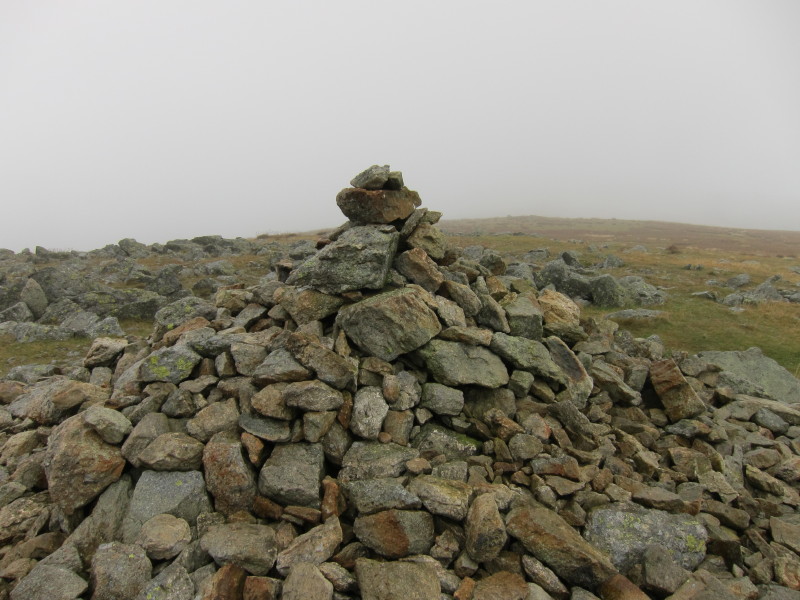
On the summit of High Raise, 802 metres (2631 feet).
From Kidsty Pike, with High Raise on the right. The two walkers just visible on
the path had asked me for directions - I never cease to be surprised by the
number of people who ask me for directions on the fells.
Kidsty Pike
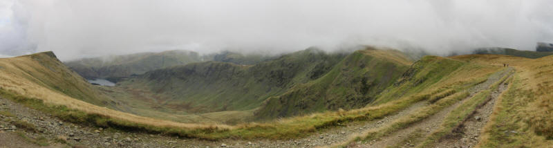
Looking down Riggindale to Haweswater, with the sharp Kidsty Pike on the right
and the long ridge of Rough Crag ascending to High Street across the picture
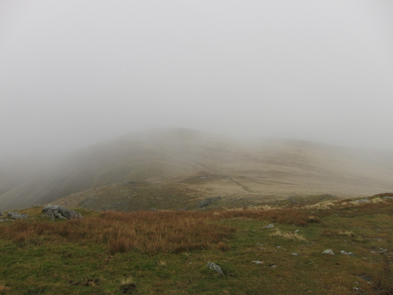
On the other side of the pass, looking the other way down to part of Hayeswater
with The Knott ahead.
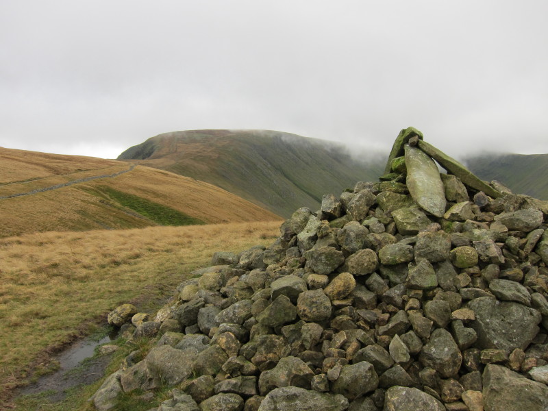
From The Knott, another look to Rampsgill Head and High Raise.
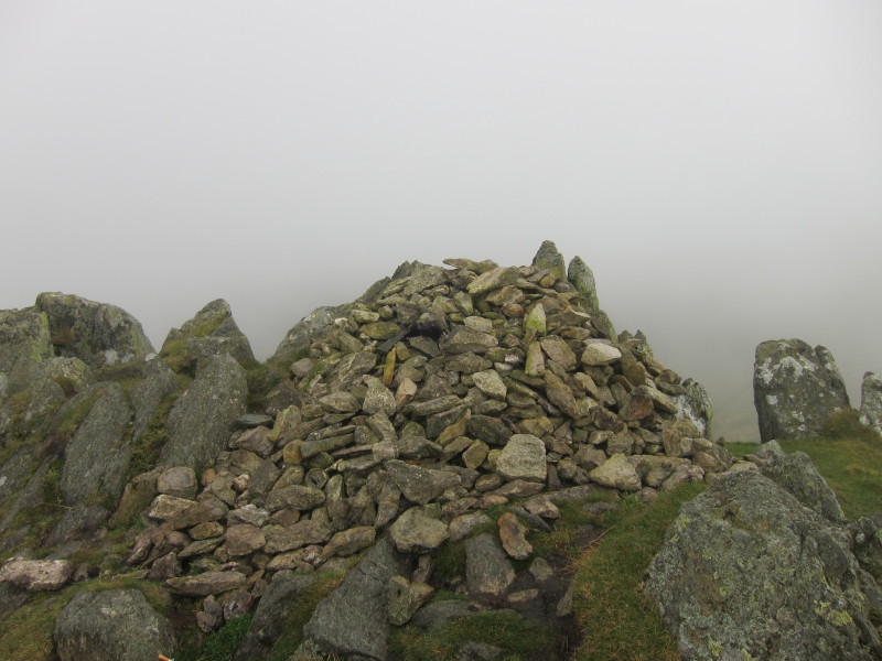
On the summit of The Knott, looking to High Street
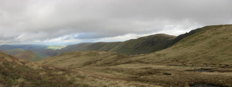
Line after line of fells in the distance
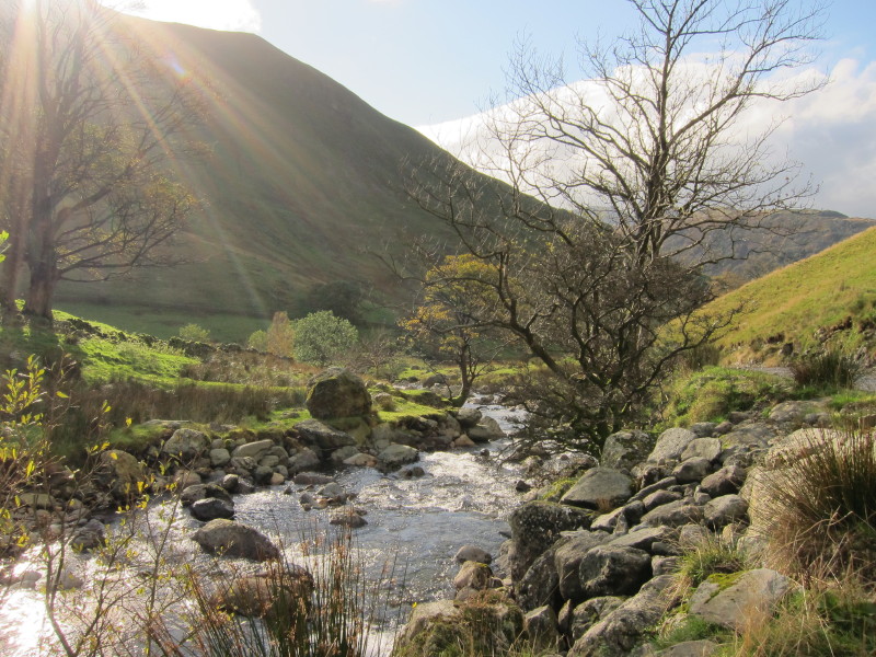
Descending along the other side of Hayeswater Gill from the ascent
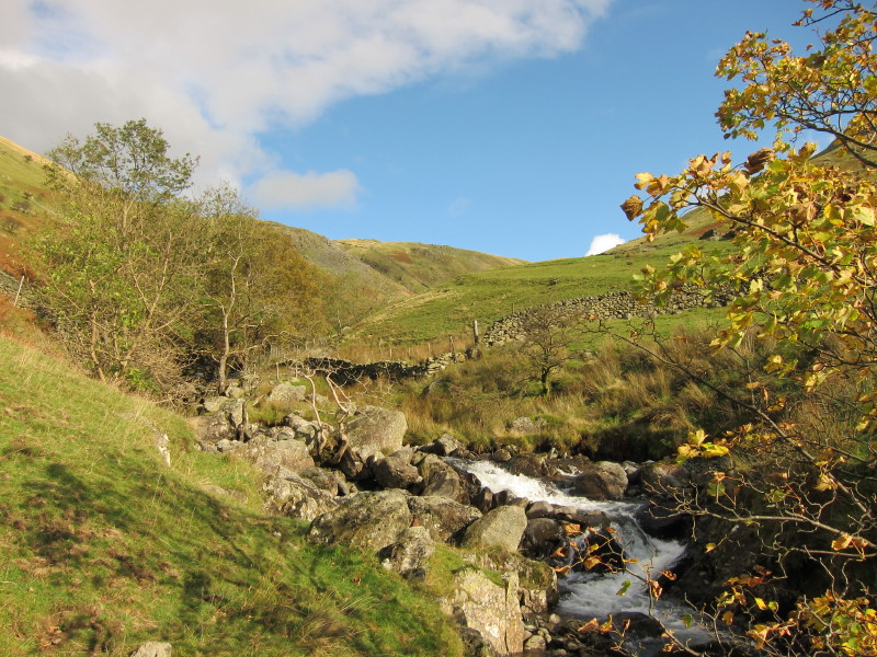
The weather is improving rapidly as I cross the gill
From the same point, looking downstream
The weather at the start and end was good but the fog in the middle rather took
the edge off what could have been a glorious walk but it was instead rather
teasing, hinting at what might have been.
Total distance 12.8 km and 813 metres of ascent in 4 hours 45 mins
Lake District holiday, October 2011
|
|