Angles Way 4: Thelnetham to Diss
28 January 2012
Today I picked up where I left off last weekend on the Angles Way. With Lucy in
Iceland and therefore unavailable to help with lifts, I tried a new approach,
driving to the end, then cycling to the beginning, and after the walk driving
back to the start to pick up the bike. On this occasion, National Cycle Route
number 30 takes quiet roads from Diss through Thelnetham on its way to Thetford,
and was ideal for my purposes. Of course, I arrived at the start of the walk
with slightly tired legs, but that was only noticeable for a couple of minutes.
One potential problem is actually finding somewhere safe and not too conspicuous
to leave the bike for several hours (not always obvious in the countryside where
a hedge isn't ideal to lock the bike to, and a ditch even worse) but Google Street View is a good help with that and I identified
in advance some railings that would do nicely.
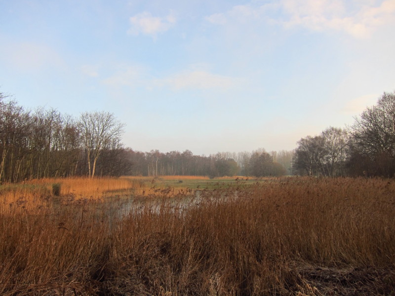
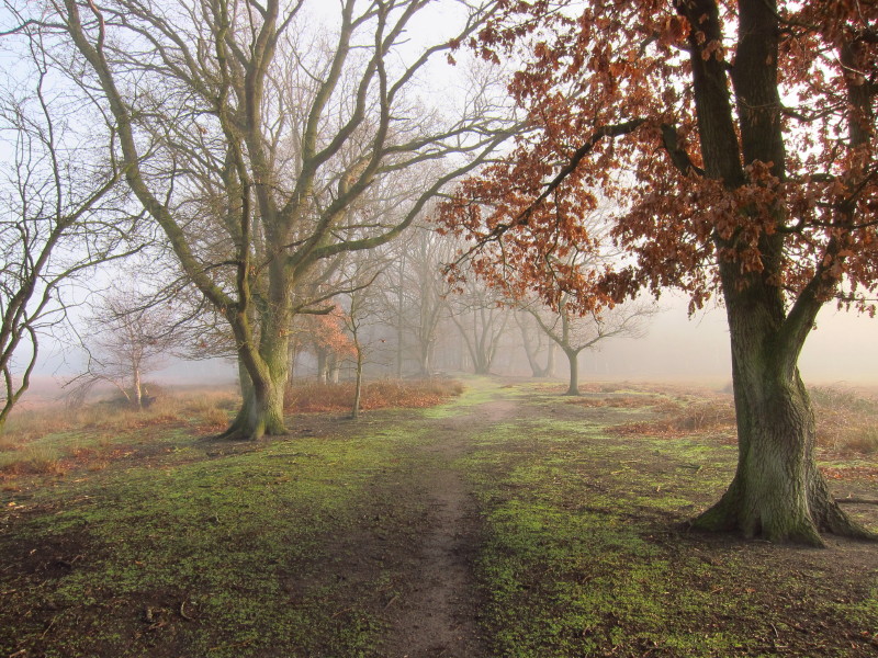
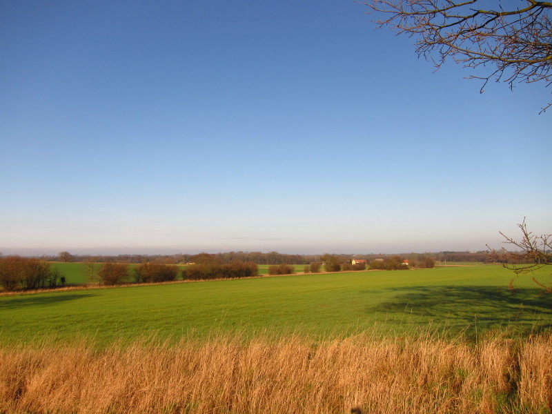
The walk gets off immediately to an interesting and attractive start - this is
Thelnetham Fen, an SSSI, managed by the Suffolk Wildlife Trust on behalf of the
Trustees of Thelnetham Foeffe
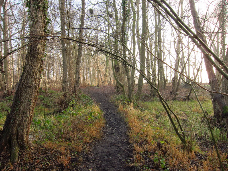
I cross to Hinderclay Fen where a slightly higher part of the fen is woodland
and then opens out.
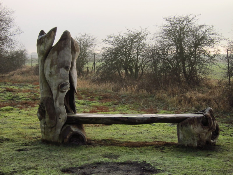
Imaginative carving has produced this bench
When I checked the weather forecast for today, it was predicted that there would
be early mist and low cloud, clearing to sunshine, so when I cycled to the start
with the cloud breaking to produce a lot of sunshine, it was all going according
to schedule. However, the mist and cloud started to reassert themselves.
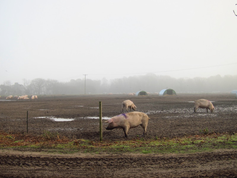
Leaving the fens for the moment, pig farming makes its presence felt at Fir Tree
Farm
A short section of road walking (the road that I've already cycled along) and I
enter Redgrave Fen, source of the River Waveney (which flows eastwards and which
I'll be following broadly for most of the rest of the Angles Way, until it
meets the River Yare), having passed subtly from the catchment area of the
Little Ouse (which flows west) to the Waveney.
Later, on the way back in the car to pick up the bike, I took the B1113. Where
the road passes from Norfolk into Suffolk, on the right (west) of the car is the
source of the Little Ouse and on the left (east) of the car is the source of the
Waveney. It feels like only the causeway of the road above the fens is keeping
the two rivers apart.
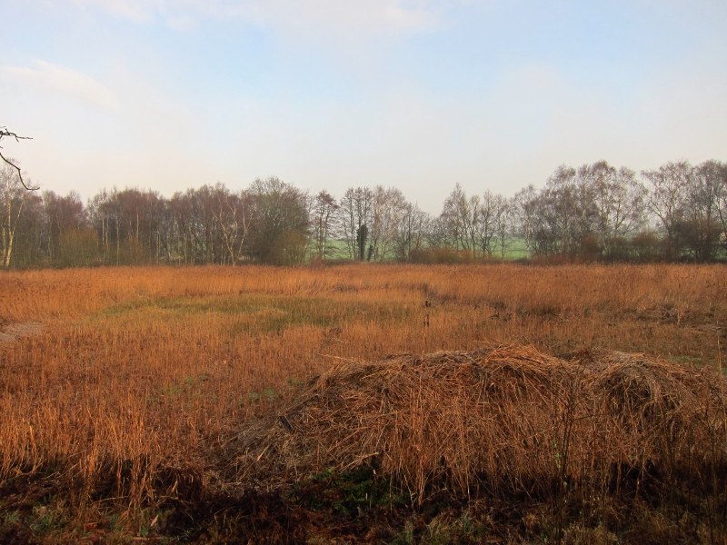
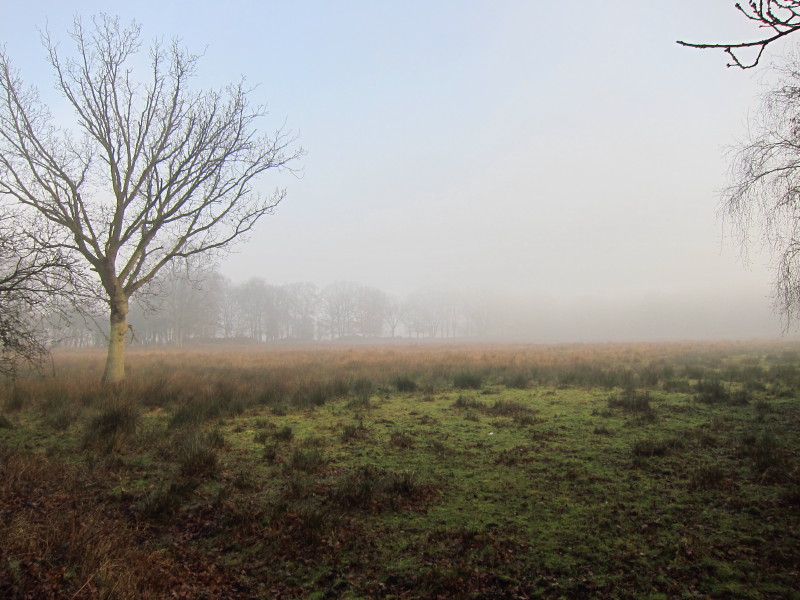
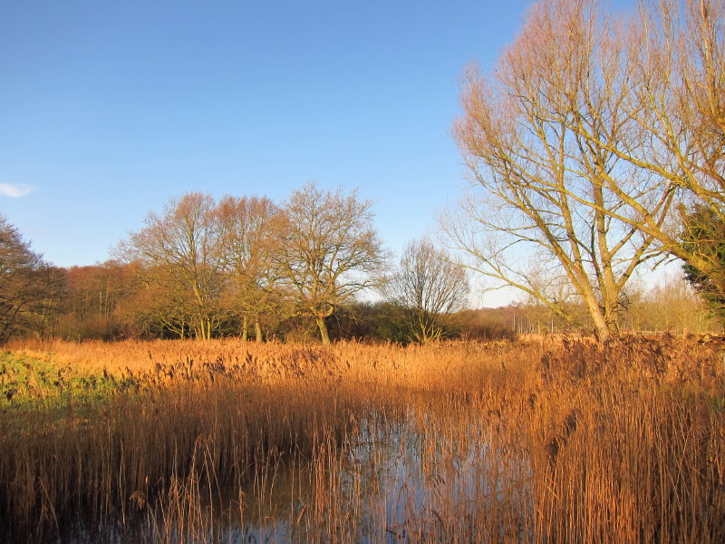
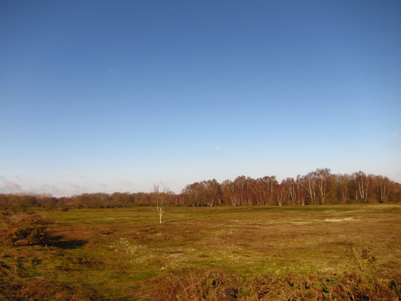
Looking across Redgrave and Lopham Fen National Nature Reserve
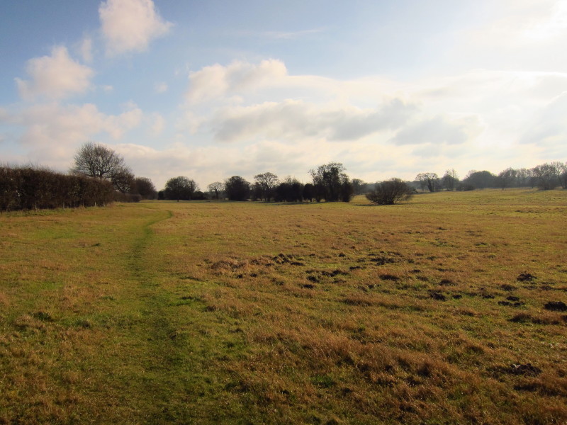
The path takes this delightful route on a very slightly elevated causeway
between very damp fen on either side
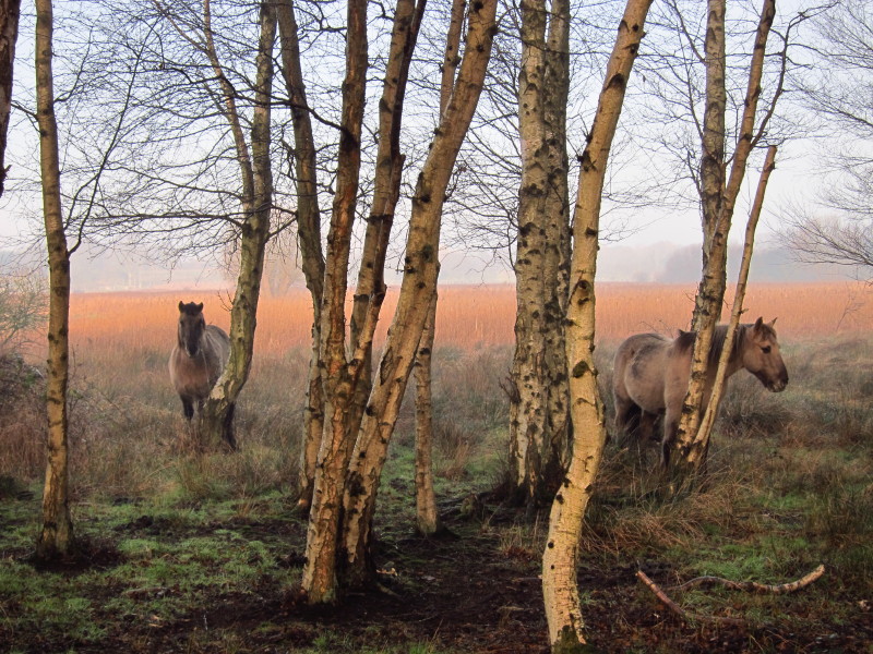
Horses grazing was a pleasant if unexpected find
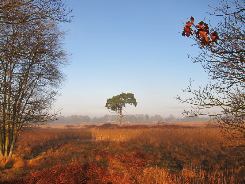
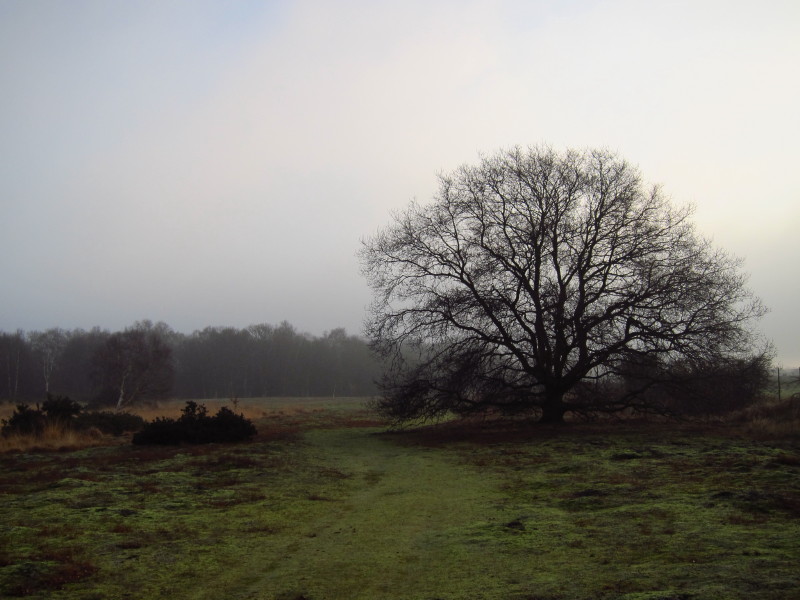
A lonely tree on the fen
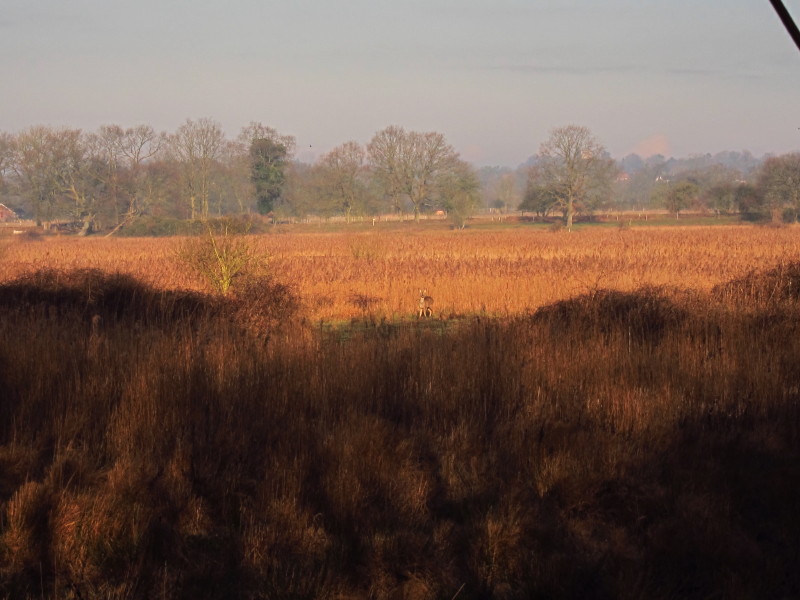
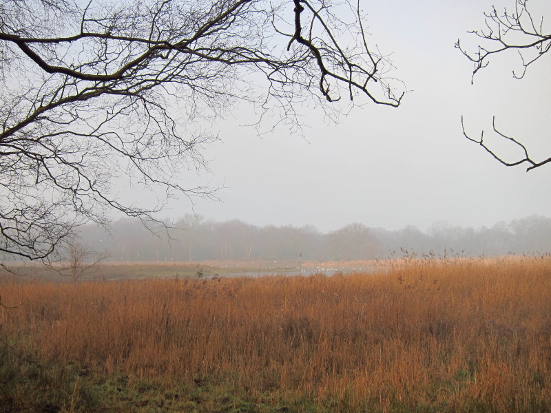
A bench had been placed giving a great view out over the fen, and I stopped for
a few minutes. Just right of centre is a deer.
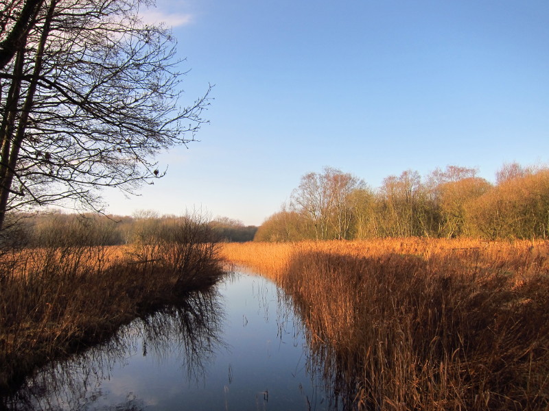
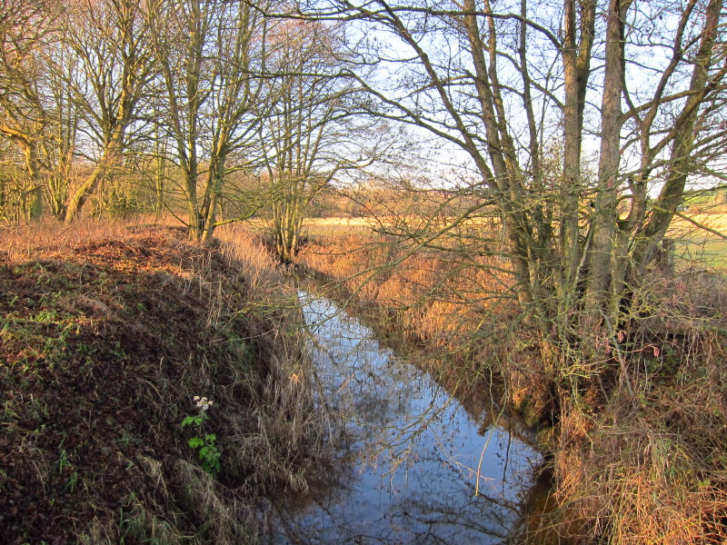
Crossing the River Waveney, about a mile from its source. The water level is
raised by a sluice over which the bridge on which I'm standing runs, in order to
maintain water levels on the fen.
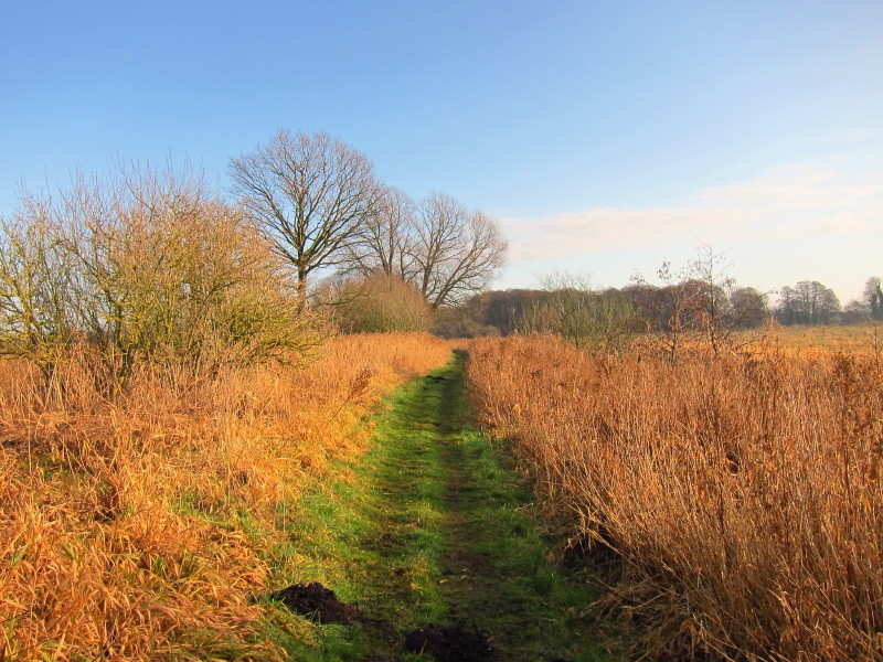
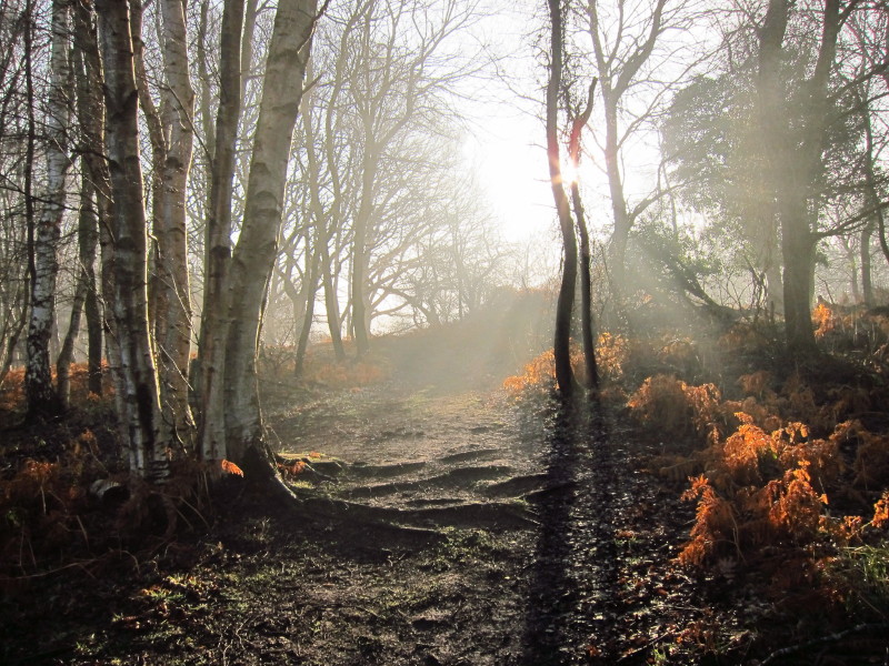
Walking downstream along the river. This really was a delightful section, and
the sun has burnt off most of the mist again.
Leaving the Waveney.
A short bit of road-walking led to a crossing of farmland - this is the view
back to the river valley
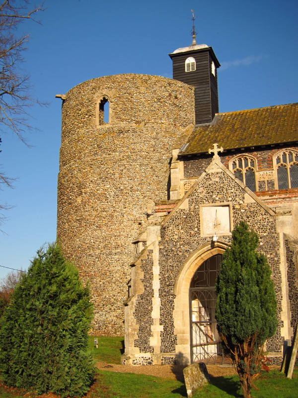
Wortham church has this unusual round tower, open to the elements. The tower,
from the 12th or 11th century, said to be the largest Norman round tower in
England, originally possibly a watchtower for St. Edmund' s Bury. Since 1789 it
has been open and ruinous.
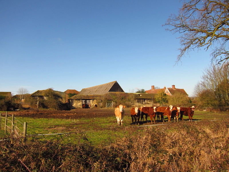
Cattle at Hall Farm by the church.
Wortham Ling is common land, now Open Access land, though the official route of
the Angles Way uses the roads across the common.
Leaving Wortham Ling, I cross the Waveney again, not looking any bigger yet.
Leaving Doit Lane, a large open field with no livestock has a permanent sign at
its entrance instructing that dogs must be kept on leads because there are
livestock in the field.
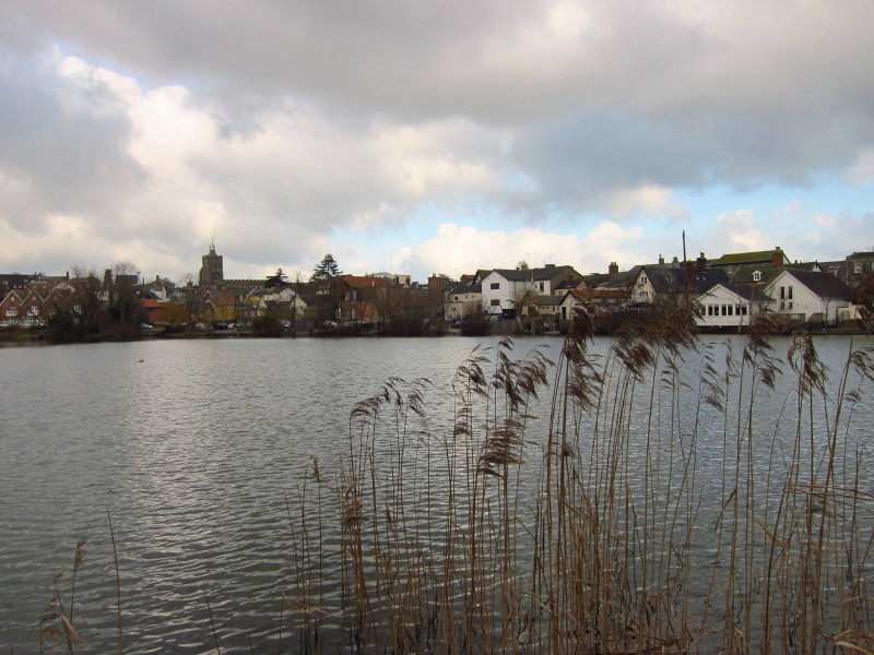
After skirting the edge of Roydon Fen, I enter the town of Diss, centred around
The Mere. The town was recorded as "Disce" or "Dice" in the Domesday Book, from
the Anglo-Saxon for pool of standing water, so the mere has been here a long
time. During my walk this morning, I'd been listening to the radio with England
collapsing to a dismal defeat against Pakistan in Dubai; a cricket match was
played on the frozen Mere in 1827. A sign by the Mere instructs people not to
feed bread to the ducks, but rather to use duck pellets, partly for the benefit
of the ducks but partly to reduce slightly the problem of toxic blue-green algae
in the Mere.
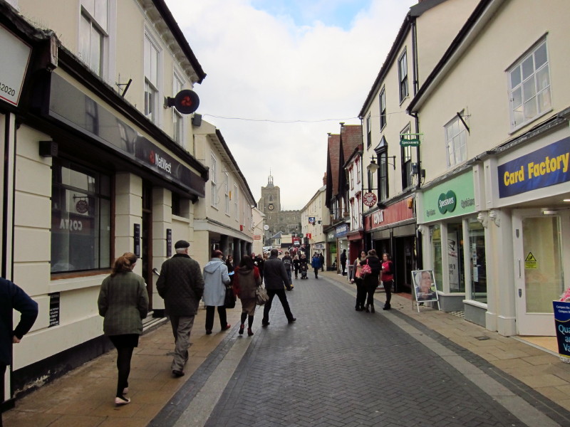
Saturday lunchtime on Mere Street, where the only places obviously doing a good
trade were several sources of chips with significant queues. A walk along Church
Street and Frenze Road brought me back to the car after a very enjoyable walk.
Just the bike to collect safely from Thelnetham and then home.
Of course, an additional downside is that the methodology of using the
bike to get to the start provides no means of taking any of the dogs on the
walk, which is a shame, but after getting home and having lunch I took them all
for a good run in King's Forest where they had a great time meeting lots of
people and other dogs.
Total walk was 15.7 km in 3 hours 43 mins (including 15.4 km along the Angles
Way).


|