Capital Ring 1 and 2: North Woolwich to Grove Park
1 December 2007
If the London Loop is the M25 for
walkers, then the Capital Ring is the North and South Circular Roads for
walkers, linking together green spaces to be found around London, to create a
120-kilometre inner circular walk to complement the 240-kilometre walk that is
the London Loop.
Today's walk picked up where we left off in April, in North Woolwich on the
north bank of the Thames by the Woolwich Ferry. In fact the first part of this
walk, crossing the Thames, was thus the final part of Stage 15, with Stage 1
proper starting on the south bank.

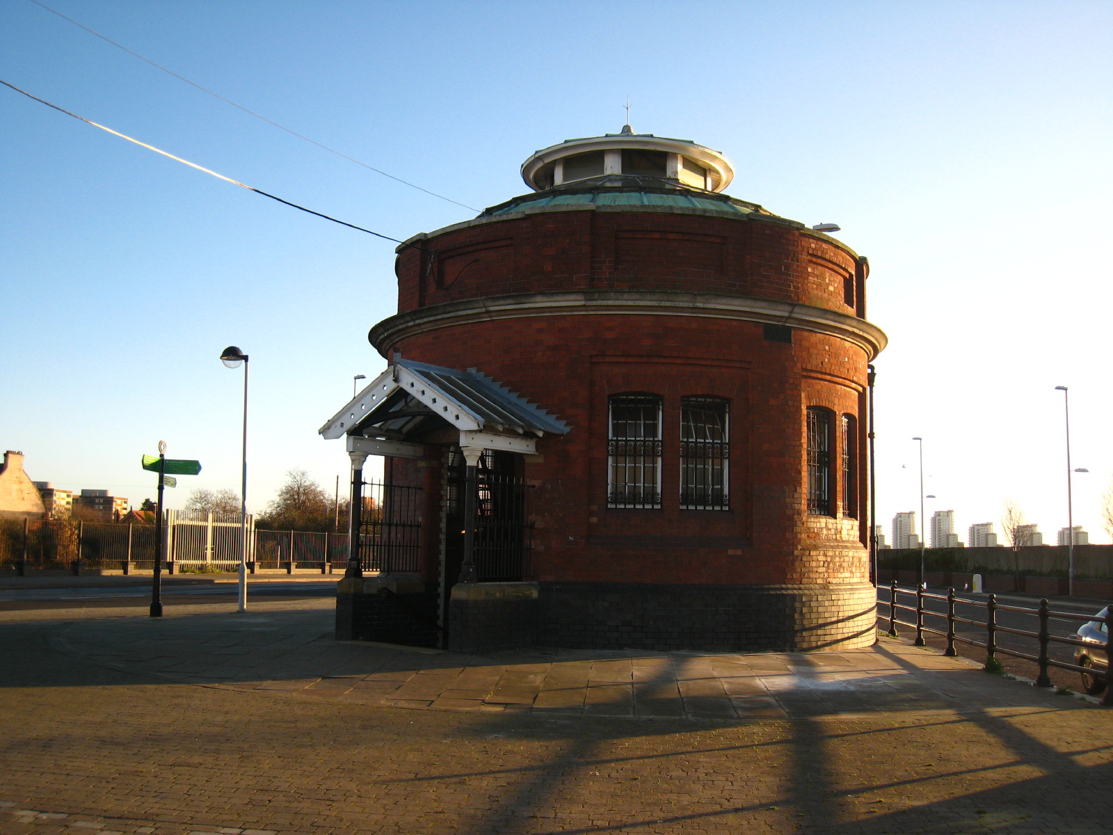
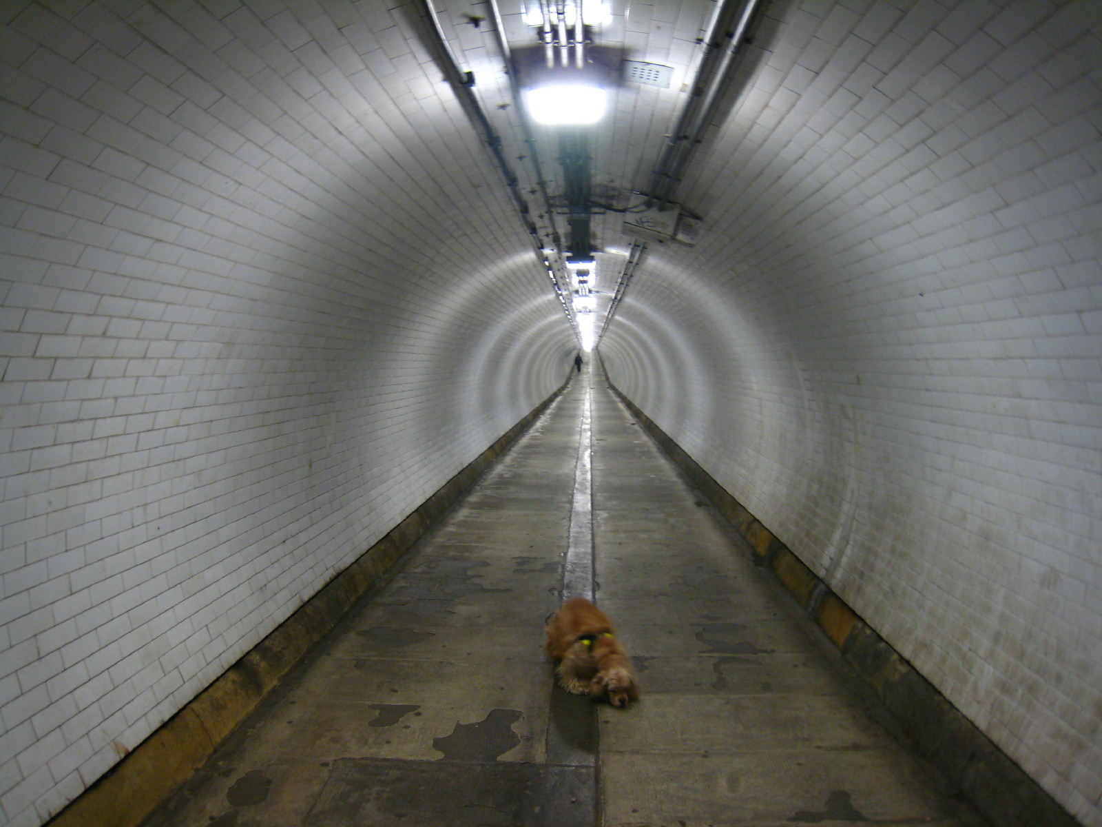
This is the start of today's walk, being the northern portal of Woolwich Tunnel.

126 steps down and we reach the tunnel, which is 495 metres long and opened in
1912. Halfway along, we leave the London Borough of Newham and reach Greenwich.
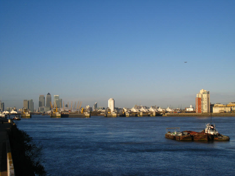
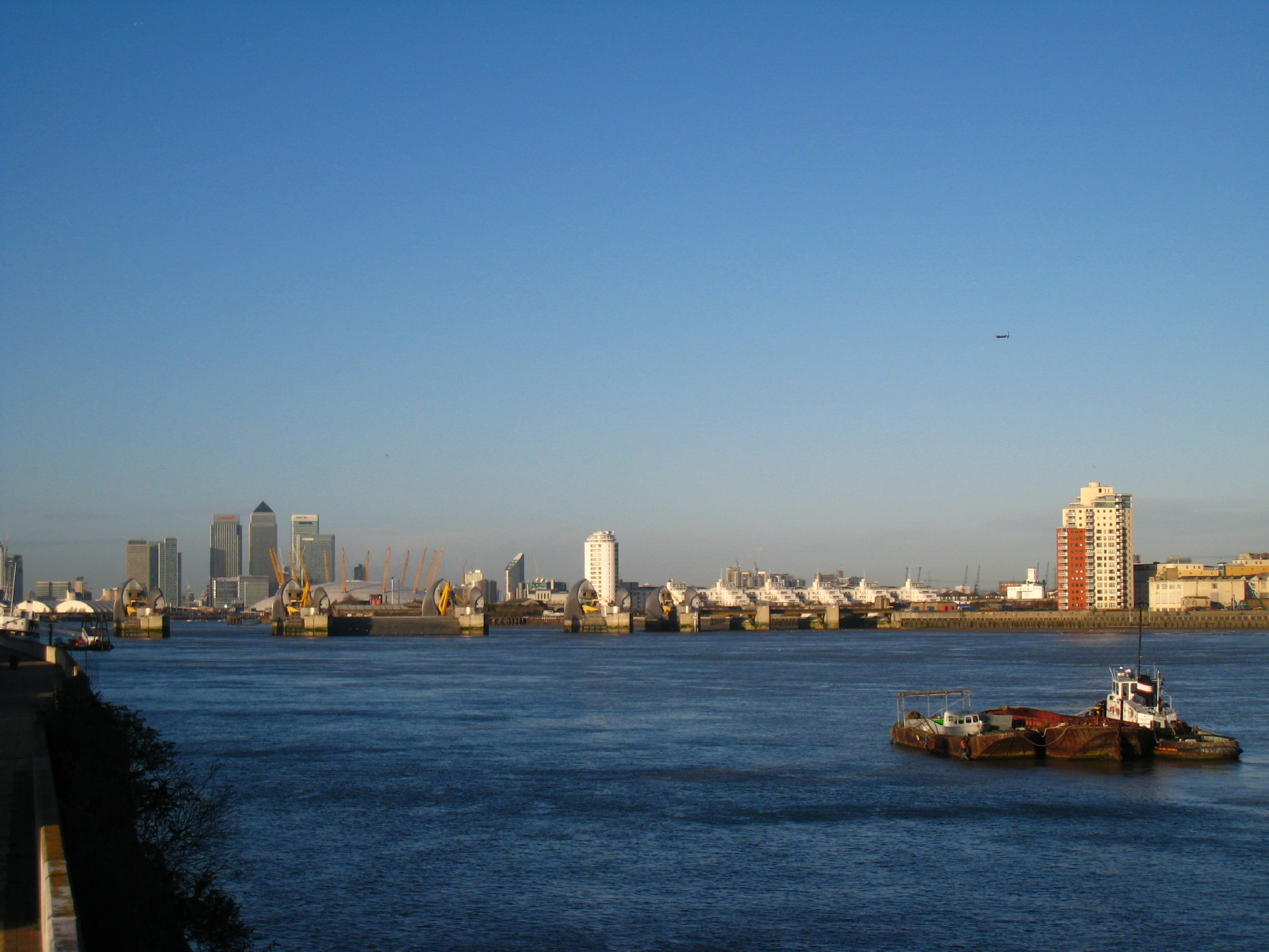
After a climb of 101 steps (there are lifts but that wouldn't be the done thing
on a walk) we reach the south bank of the Thames and make our way upstream for a
little while, gradually drawing nearer to the Thames Barrier, behind which the O2
(formerly known as the Dome) and Canary Wharf loom; an aeroplane has just taken
off from City Airport.
The route then takes an "interim route", pending redevelopment, away from the
river and through a housing estate and along a dual carriageway before entering
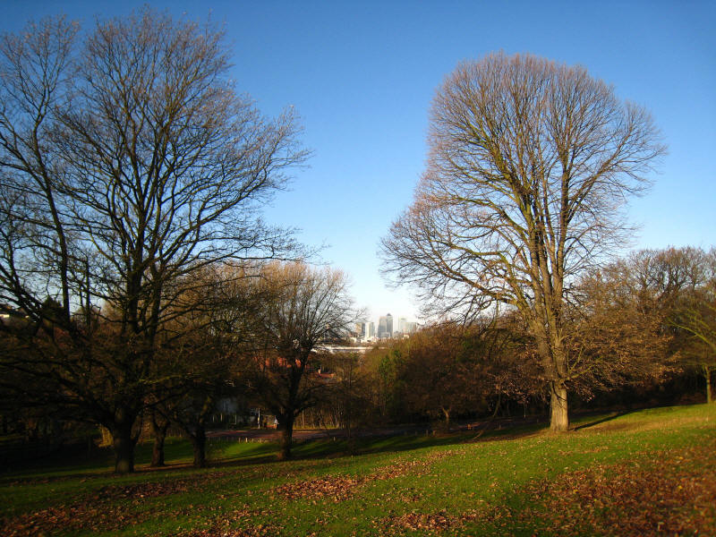
Maryon Park, and the first green bit of the walk. After Maryon Park we cross a
road and enter Maryon Wilson Park, from where there are more views back to
Canary Wharf.
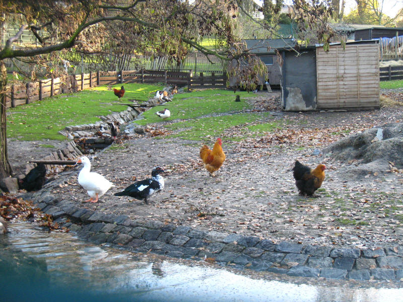
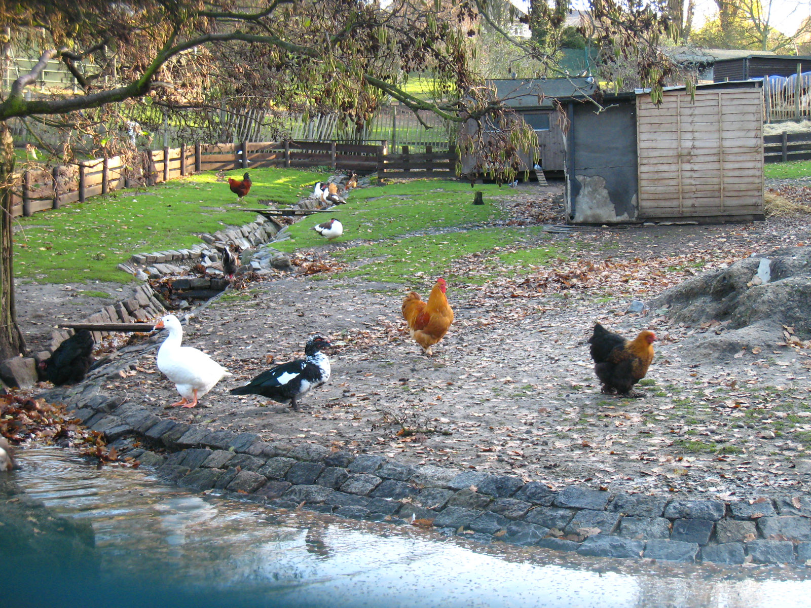
The children's zoo in Maryon Wilson Park. This section of the walk looks
hideously complicated in the guidebook and unclear on the maps, but is easy to
follow on the ground thanks to excellent signposts. Such was to be pattern for
the rest of today's walk - apparently complex to follow but easy if you put the
book away and open your eyes.
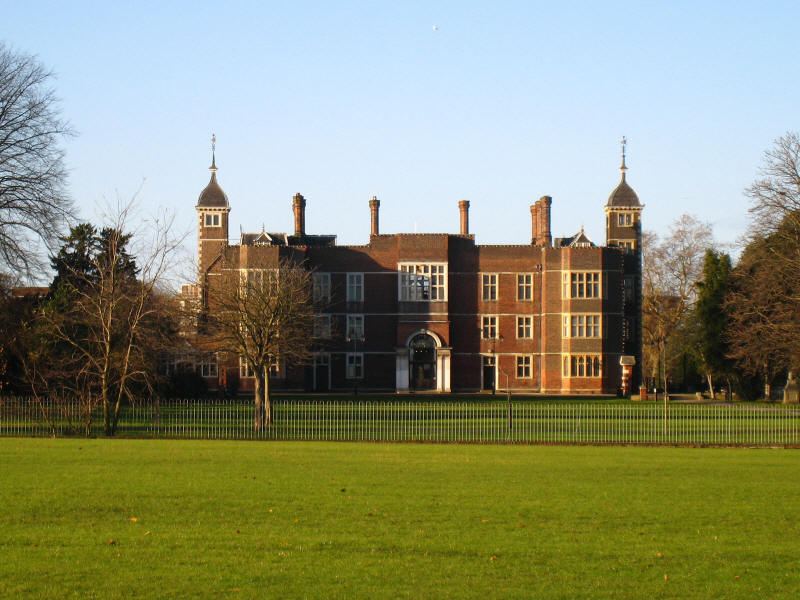
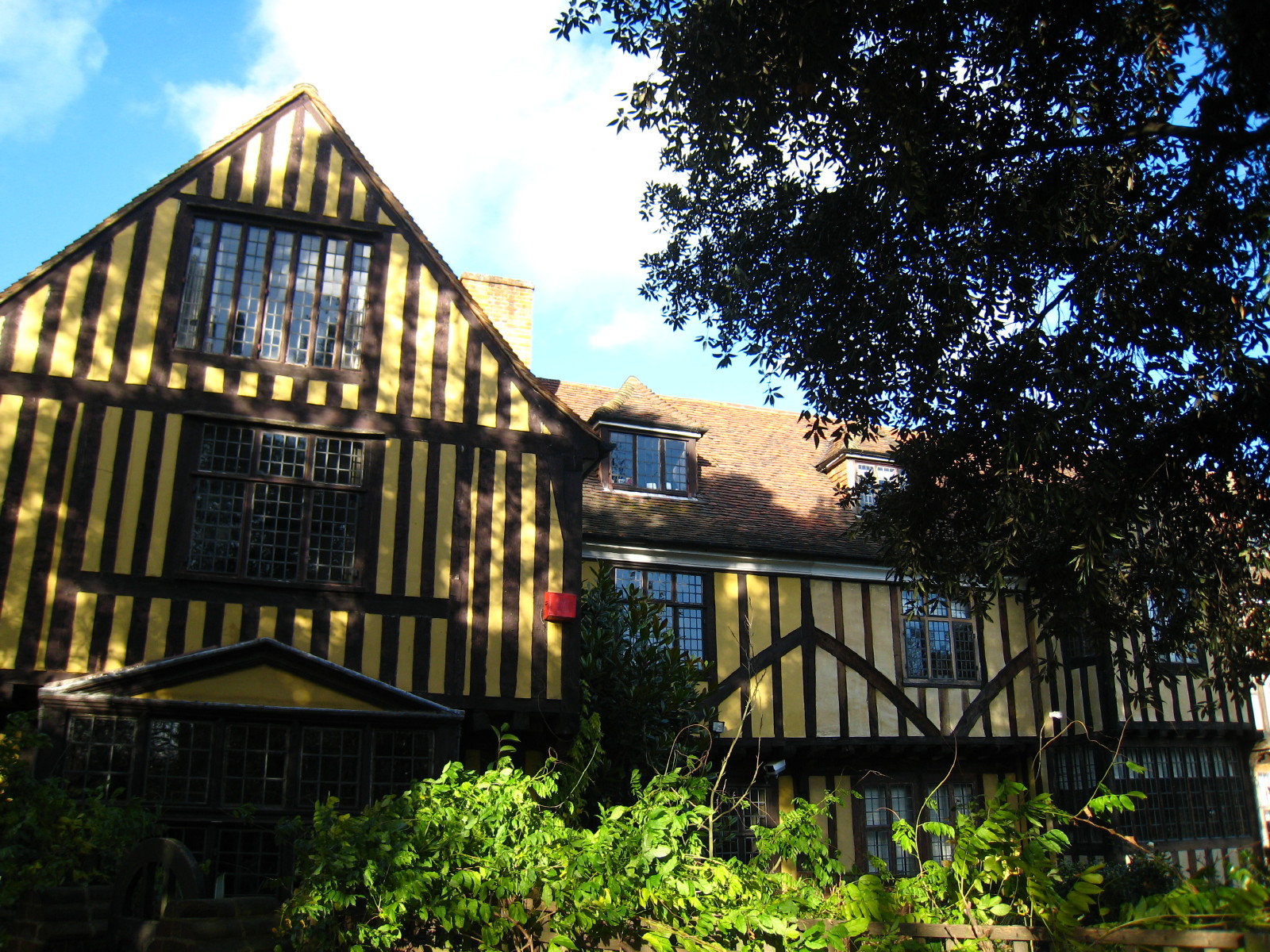
We cross another road and enter another park, this time Charlton Park, at the
far end of which is Charlton House, an excellent example of a Jacobean building:
it was completed in 1612 for Sir Adam Newton, who was tutor to Prince Henry, the
son of James I/VI. All the parks we've been through so far were once part of the
Charlton House estate.
After a short residential interlude, we find more open space, this time crossing
Woolwich Common
After negotiating a tricky crossroads, then begin the crossing of Eltham Common
- initially on grass then into Castle Wood.
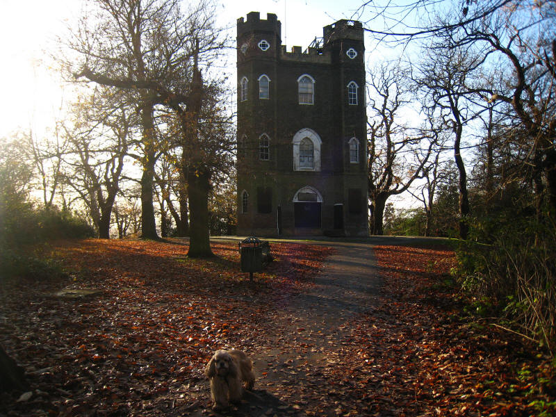
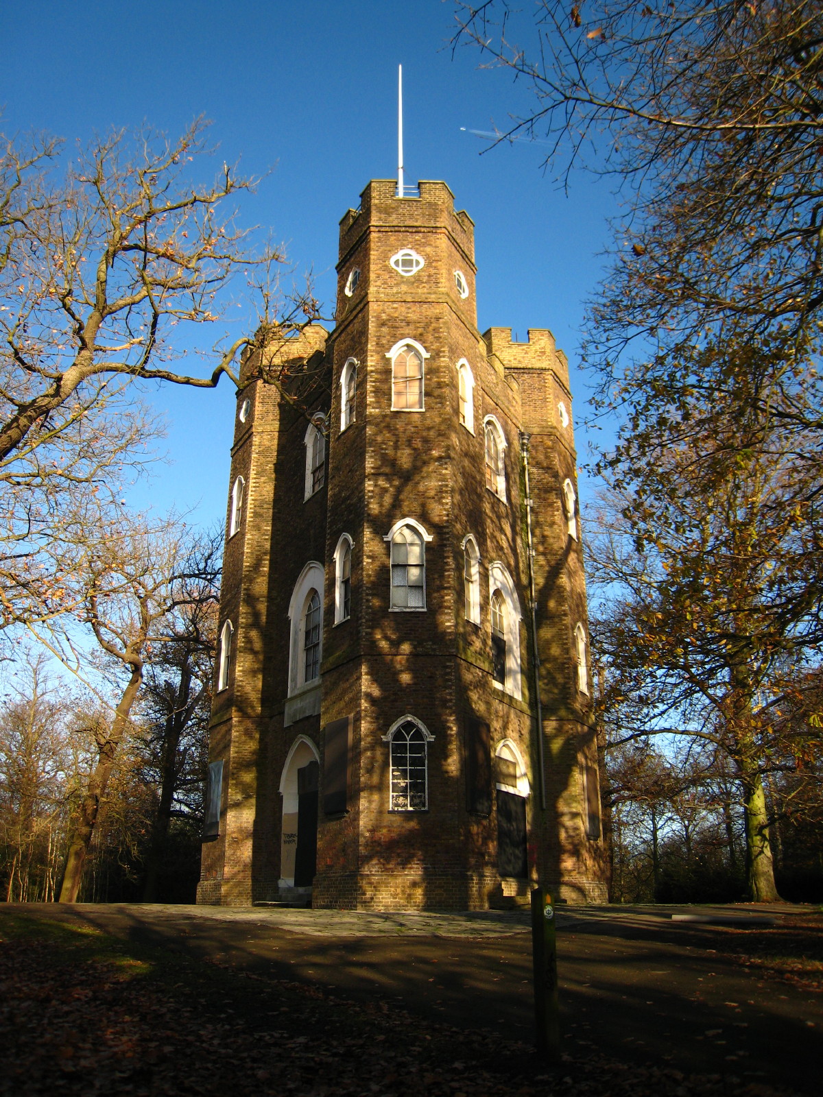
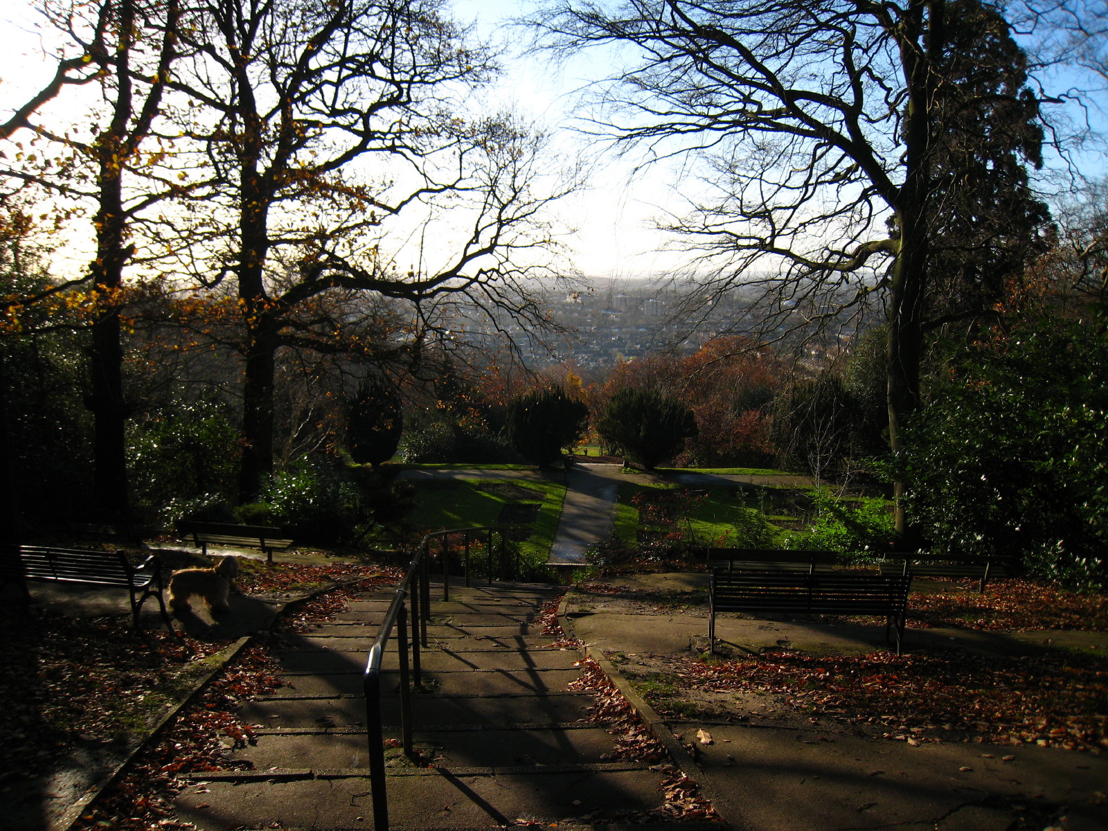
At the top of Shooter's Hill in Castle Wood we find Severndroog Castle. This is
the highest point of the Capital Ring at 121 metres.

The castle is triangular, and the name comes from a pirate fortress at
Suvarnadurg in India captured in April 1755 by Commodore Sir William James who
owned this land in the 18th century. It was built after his death as a memorial
in 1784, designed by Richard Jupp. Sadly it closed to the public in 1988 due to
lack of funds:, it is now gradually decaying, a status reflected by its
inclusion on the English Heritage "Buildings at Risk" register.
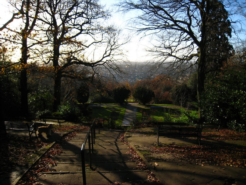
A series of terraced gardens offers spectacular views over south-east London.
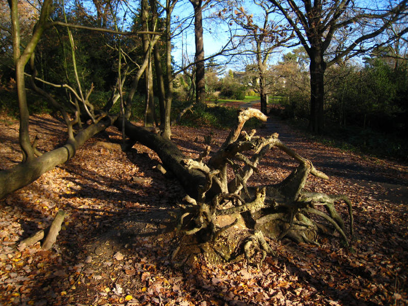
The walk continues through Jackwood, Oxleas Wood and Eltham Park, but generally
very well signposted.
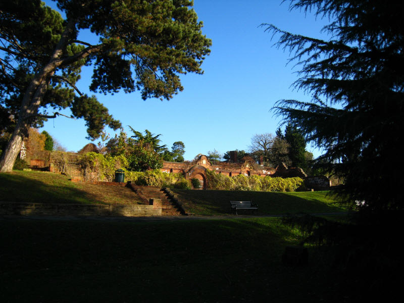
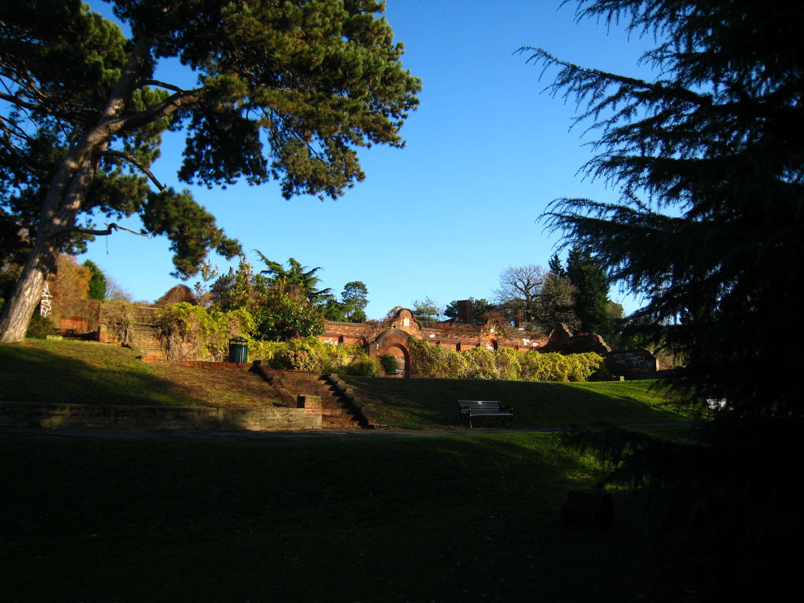
The former ornamental garden of Jackwood House, demolished in the 1920s.

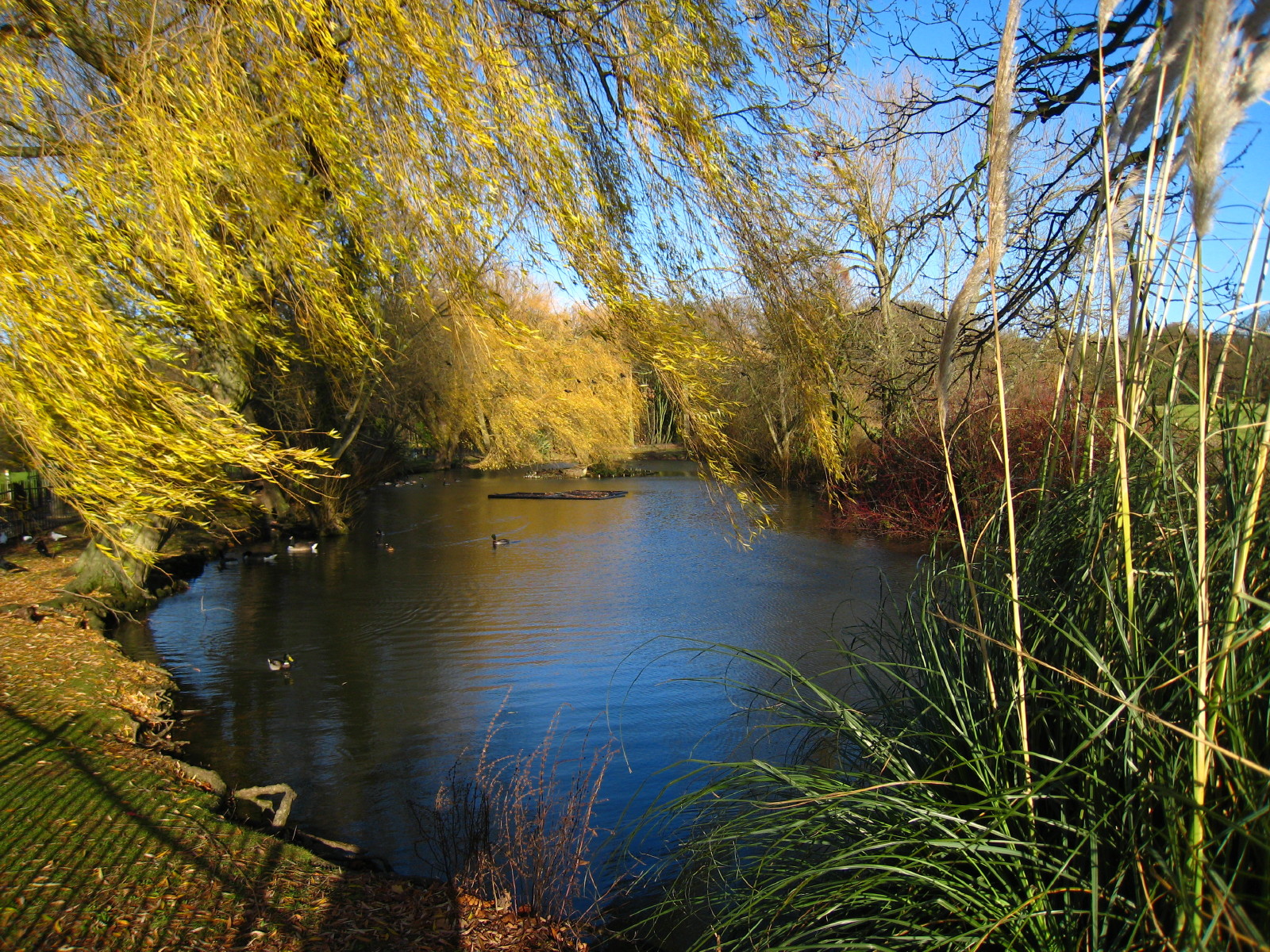
Long Pond in Eltham Park, once a boating lake and now reserved for birds.

After Eltham Park, we start Stage 2, which begins by crossing a railway line and
the A2 dual carriageway, into Eltham Park South. After a short bit of walking
along along a quiet road and lane, we pass Conduit Head which used to house
sluices to control the flow of water from springs to Eltham Palace
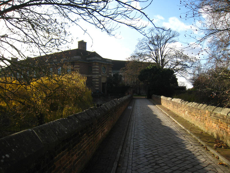
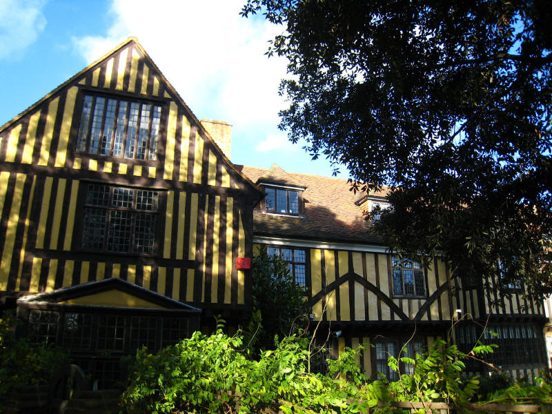
We have a rather longer bit of suburban walking before we reach Eltham Palace,
the Great Hall of which is seen across the bridge over the moat. The Palace was
the main country residence of the English monarchy from the early 14th to
mid-16th centuries, but eventually lost favour to Greenwich and Hampton Court.
By the gate to the Palace is the Lord Chancellor's Lodgings, now converted into
three houses.
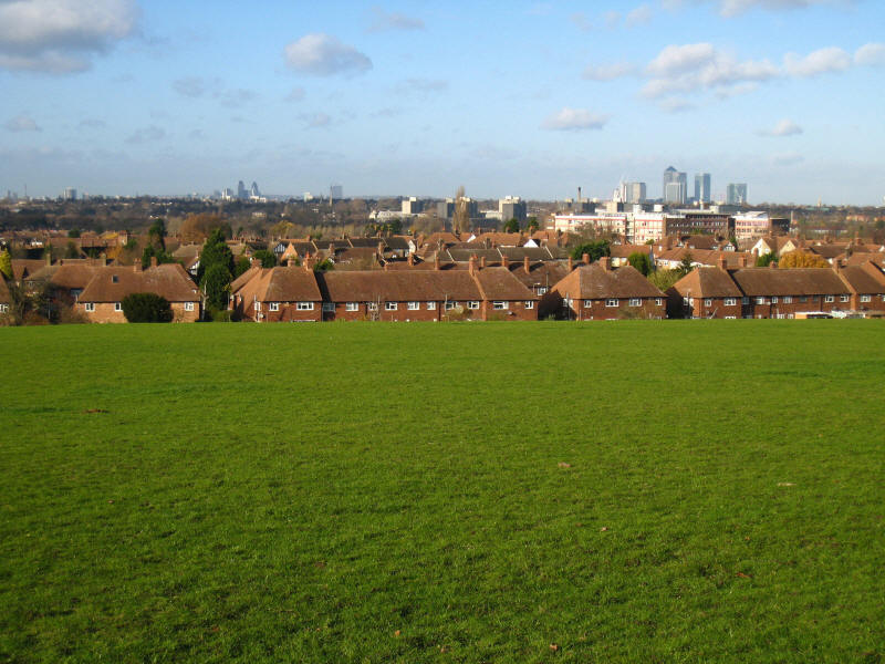
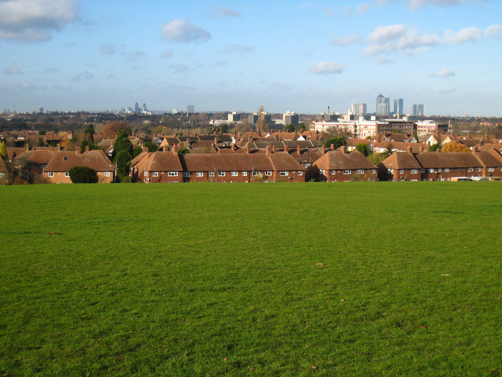
We made a circuit of the Eltham Palace grounds and joined King John's Walk,
which has extensive views over central London. In this photo the BT Tower can be
seen on the left, the dome of St Paul's Cathedral can just be seen, then Tower
42 and the Swiss Re Tower prominent in the City centre-left, and Canary Wharf to
the right.
From then the walk rather lost interest, to be honest: we crossed another
railway by a bridge and the A20 dual carriageway by a sprint, along a
residential road and through playing fields to the end of Stage 2.
More
residential roads took us along the link route to Grove Park station, from where
we travelled via London Bridge station to Woolwich Arsenal station, where the
walk back to North Woolwich began.
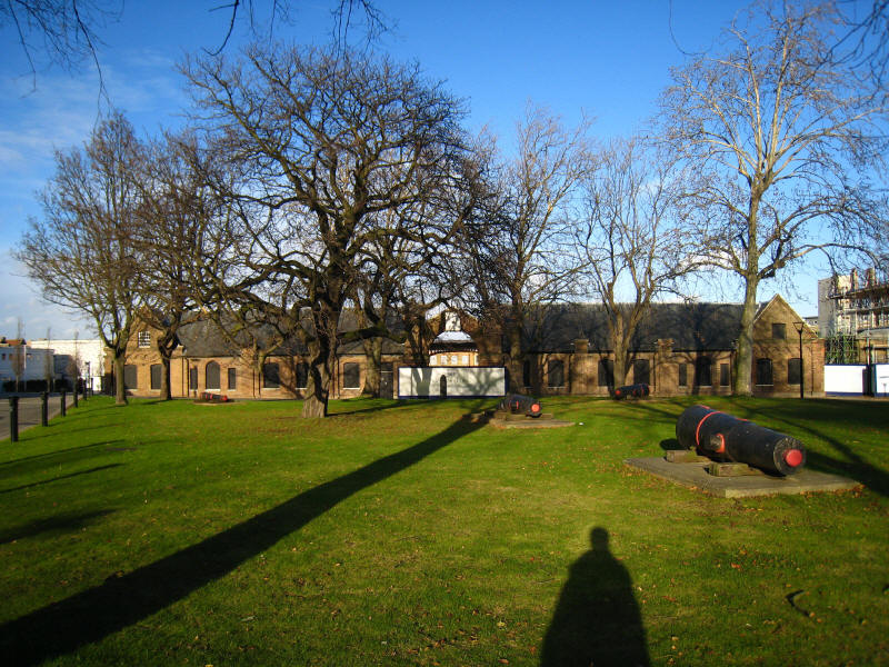
Part of the Royal Arsenal complex
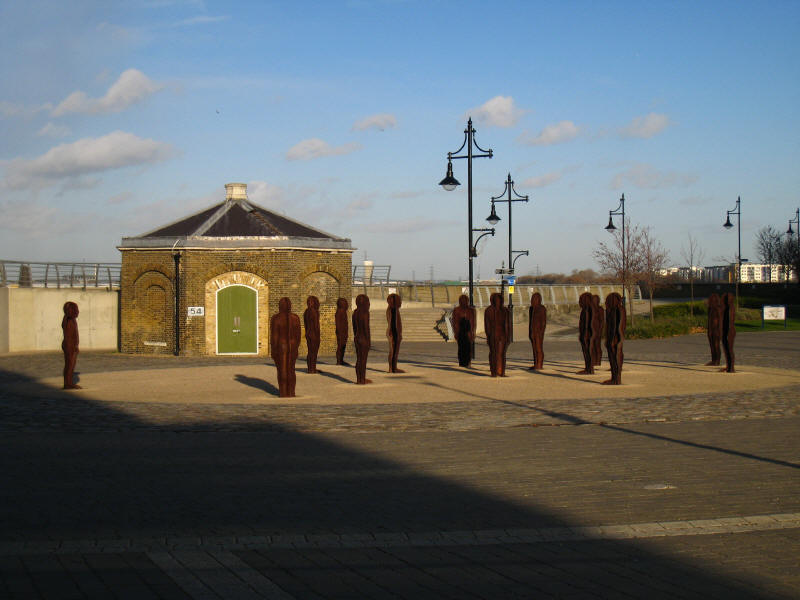
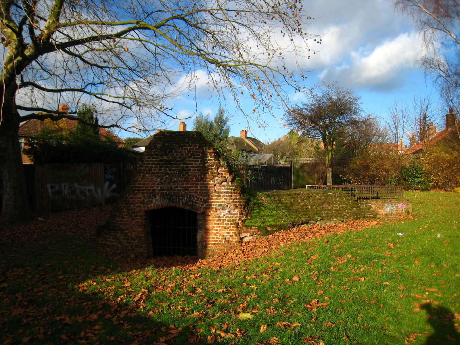
After passing the Firepower museum, we reach the Thames wall, where this unusual
feature captures attention.
We then continued along the Thames Path to the Woolwich Tunnel, where another
101 steps down and 126 steps up took us back to North Woolwich.
So, on the first day of winter, a sunny but fairly cold (reaching 7°C) and windy
day made for a pleasant walk through inner south-east London, with a surprising
amount of green and a number of interesting features. My interest in the Capital
Ring has been re-awakened, so stages 3 and 4 here we come soon!
Zoom in for more detail, or see map in larger window: Ordnance Survey |
Open Street Map |
Google Maps
Total distance: 18.6 km [including station links - 15.6 km on the
Capital Ring] with 276 metres of ascent in
4 hours 3 minutes.
|