Capital Ring 3 and 4: Grove Park to Streatham Common
16 December 2007
If the London Loop is the M25 for
walkers, then the Capital Ring is the North and South Circular Roads for
walkers, linking together green spaces to be found around London, to create a
120-kilometre inner circular walk to complement the 240-kilometre walk that is
the London Loop.
Today's walk picked up where we left off earlier in December at Grove Park, and
from there continued generally west to reach Streatham Common. At the end, we
were rushing slightly to ensure we caught a train, and so went along the wrong
road to reach Streatham Common station - in fact, we saved on distance, but
therefore not quite all of the official stage 4 was walked.
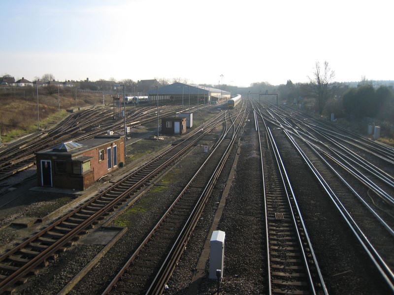
After a bit of street walking, we cross the main line railway from Charing Cross
to Hastings
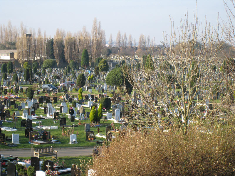
And in the other direction a very large cemetery
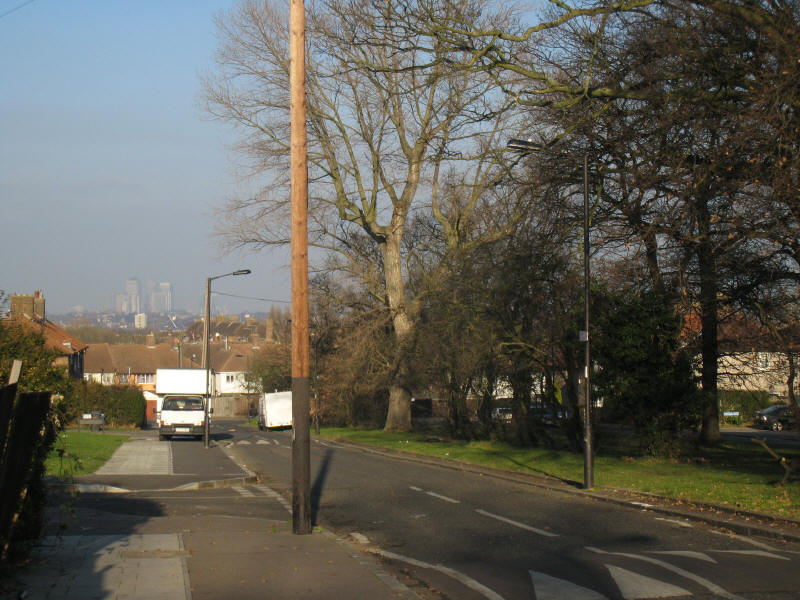
Woodbank Road has trees down the middle, and in the hazy distance the towers of
Canary Wharf can be seen.
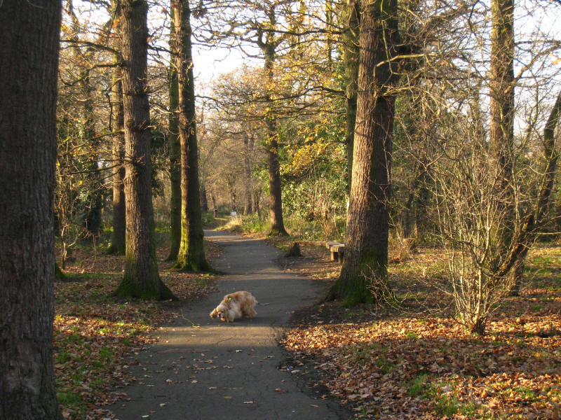
We finally shake off the roads for a while and enter Woodland Walk, which runs
for a mile or so through a very narrow strip of woods between houses. It is a
remnant of the Great North Wood which used to stretch from Croydon to Deptford
until most of it was cut down to make way for the expanding London suburbs.
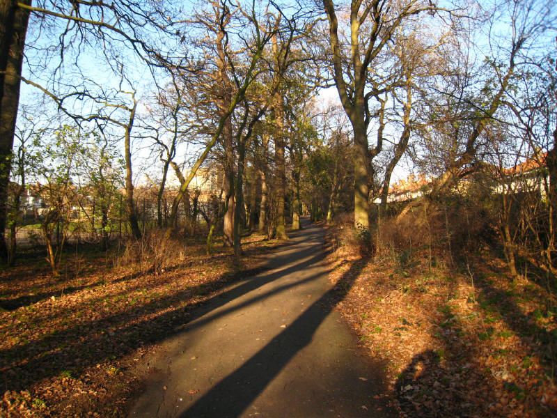
More of the Woodland Walk, with houses visible either side.
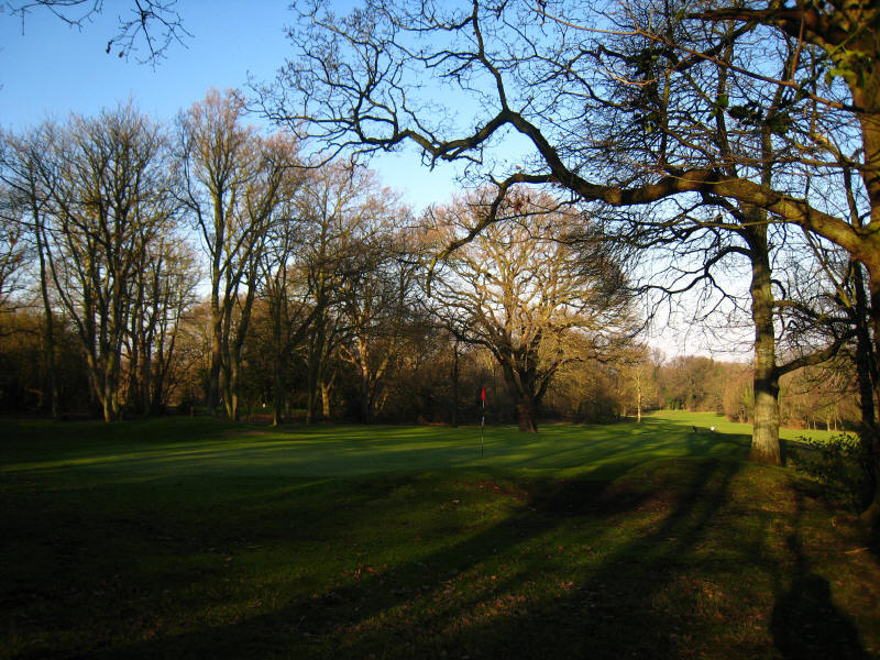
After more street walking we reach Beckenham Place Park, once the private estate
of Beckenham Place and now a mixture of grassland, woodland and a golf course.
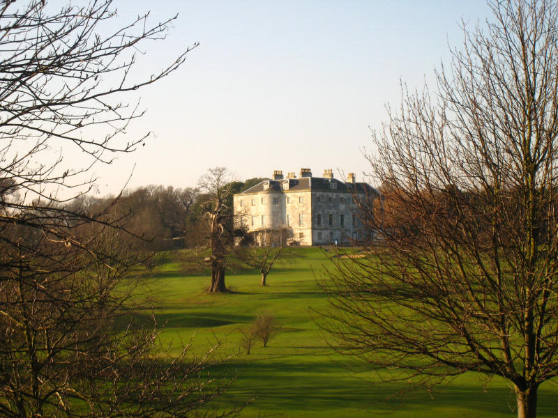
Beckenham Place itself, rebuilt in the late 18th century by John Cator, a timber
merchant. The estate has been publicly owned since 1927.
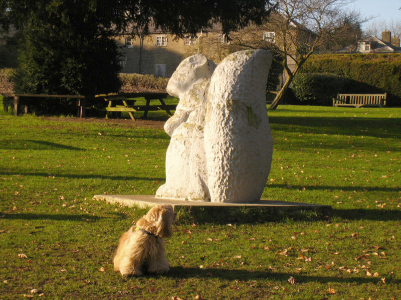
George inspects the squirrel - normally he chases squirrels, but this one didn't
really interest him much.
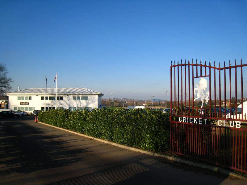
We then pass one of Kent Country Cricket Club's grounds
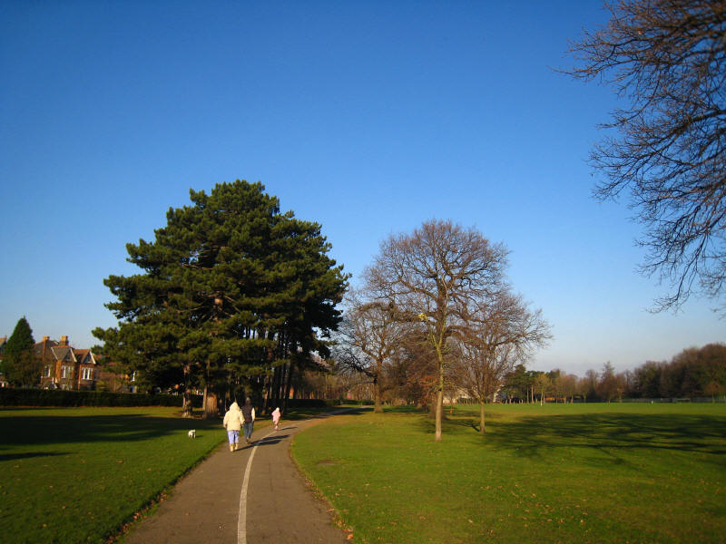
There is then more road walking until we reach Cator Park, which used to be the
private gardens of Kent House
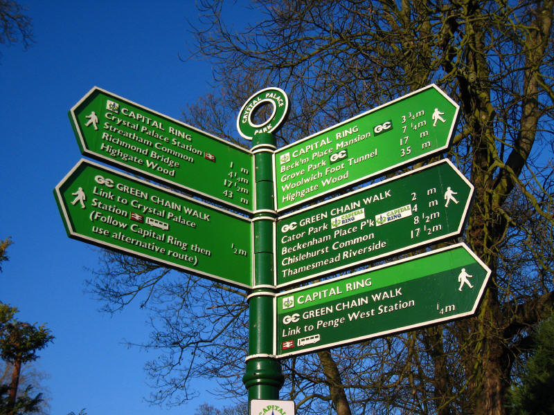
Yet more road walking (there was a lot of that in today's walk) brings us to
Crystal Palace Park, which shows us that we are pretty much half way between the
Thames at Woolwich and the Thames at Richmond, and that if we wanted to get to
Highgate Wood, it would be slightly quicker to retrace our steps than continue
the way we are going. In fact, we ignored the signpost completely - it suggested
that the Capital Ring had been diverted round the south of the site through the
prehistoric display area (the original route of the Capital Ring), but I was
keen to get the most of this green section, and so we followed the route
described in the guidebook (and Walk London's leaflet). Once we'd ignored the
first signpost, all the other marker posts from the "old" route were still
there, and this now alternative route is recommended when events in the Park
don't close it.
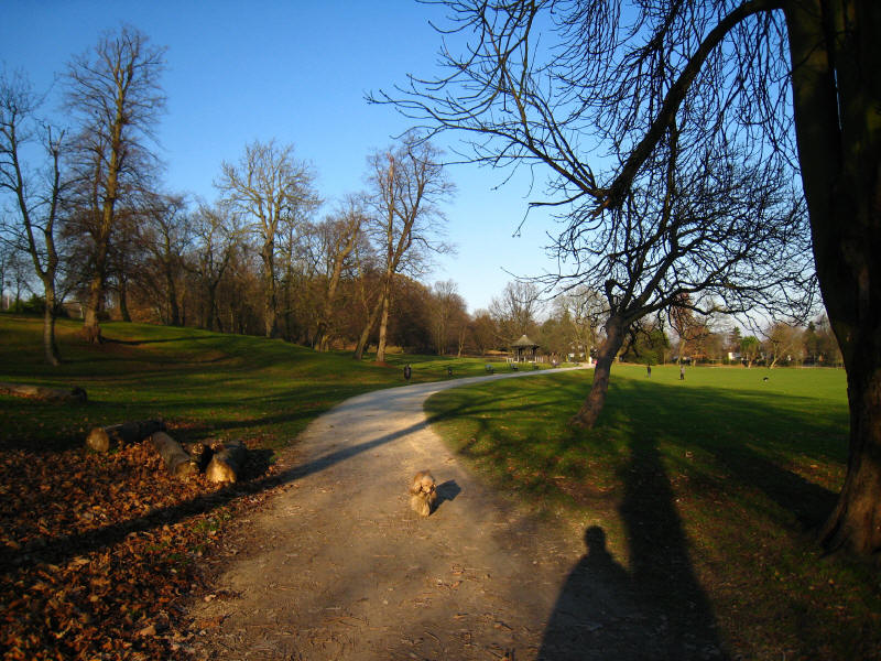
George in Crystal Palace Park
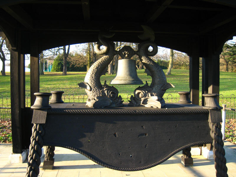
The ship's bell from the SS Crystal Palace
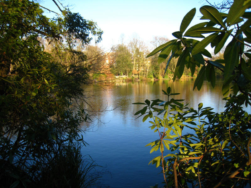
A fishing lake in the Crystal Palace Park
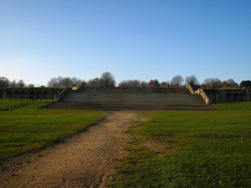
Steps up to the site of the Crystal Palace
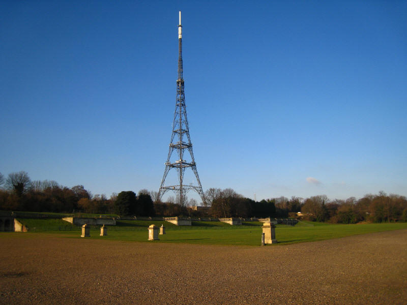
Part of the site of the Crystal Palace, with the Crystal Palace transmitter
towering overhead - at nearly 270 metres it is the tallest structure in London.
The Crystal Palace was built for the Great Exhibition in Hyde Park in 1851, and
moved here in 1854 as a theme park, but was never profitable and closed in 1911.
It was destroyed by fire in 1936 and since then this part of the site has been
empty. The rest of the Park, however, is delightful, and in addition to the
greenery we have seen contains the National Sports Centre, fairly well
camouflaged in the landscaped Park.
Passing Crystal Palace station we start stage 4 of the Capital Ring, and
zig-zagging walking takes us into Norwood New Town and the Borough of Croydon.
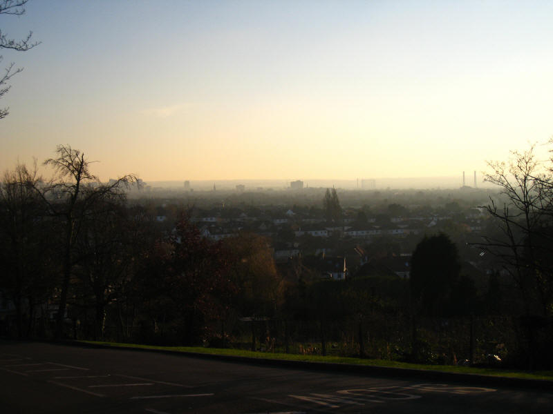
As we descend towards Norbury, there is an extensive view over south-west London
towards Sutton.
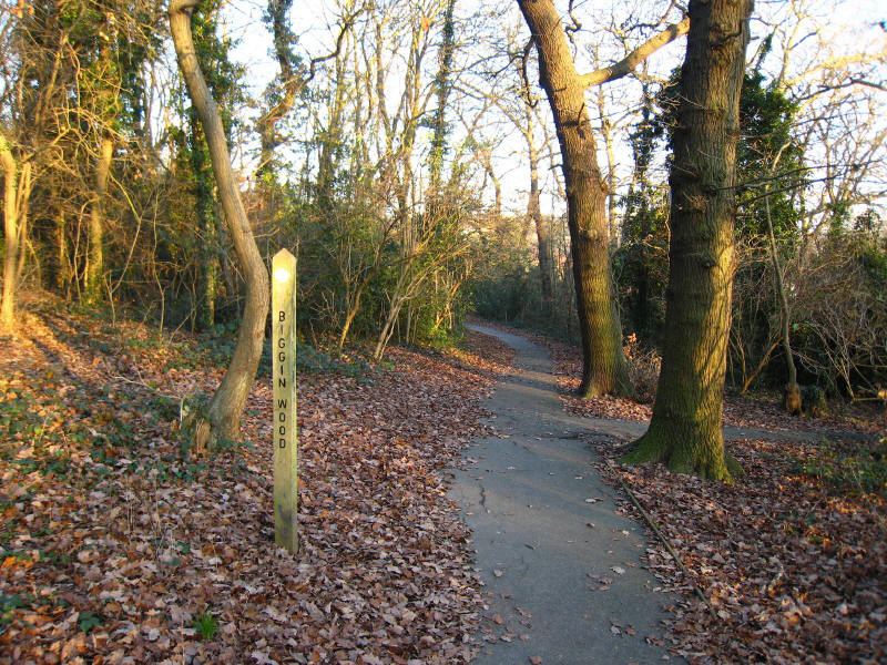
Biggin Wood is another small fragment of the Great North Wood
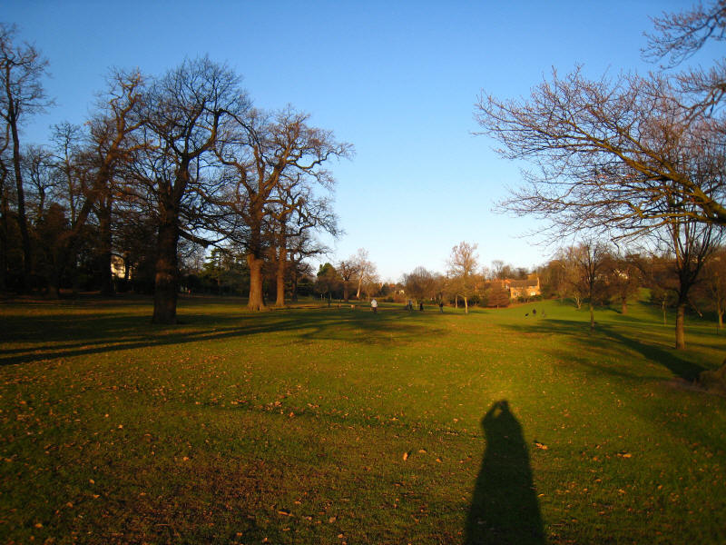
We then reach the very pleasant park of Norwood Grove
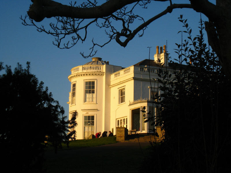
The mansion of Norwood Grove, known locally as the White House. It was built in
the 1840s for Arthur Anderson, joint founder of P&O: only the east wing of the
much larger original survives
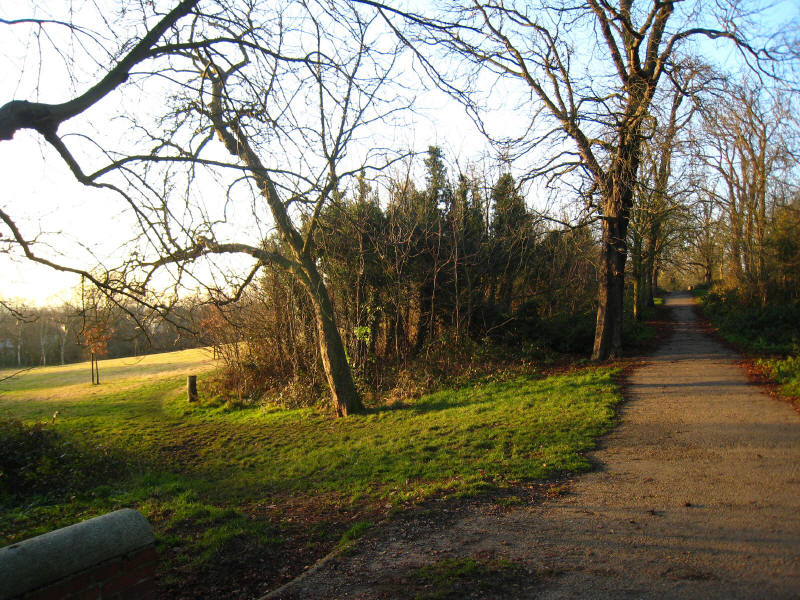
We now enter part of Streatham Common
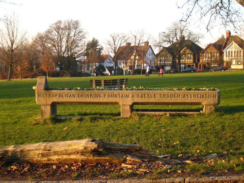
Not much good for any thirsty cattle nowadays, but no doubt attractive when the
flowers mature.
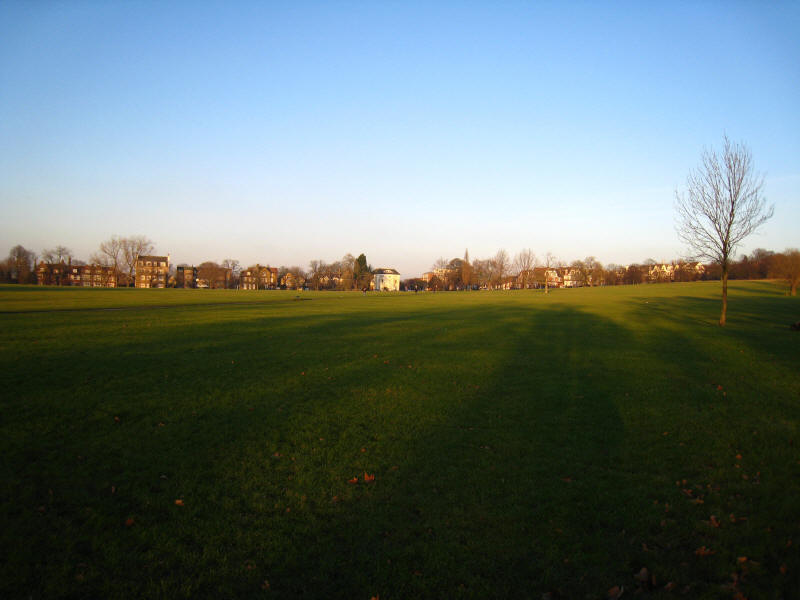
Looking back up another part of Streatham Common. From here we should have
walked along Lewin Road, but in a hurry to get to the station accidentally took
Greyhound Lane, so Lewin Road remains to be walked of stage 4.
A pleasant walk on another sunny winter's day, but somehow much less satisfying
than stages 1 and 2. Stage 5 looks similarly unbalanced between road and green
walking, but stage 6 with Wimbledon Common and Richmond Park looks a gem.
Zoom in for more detail, or see map in larger window: Ordnance Survey |
Open Street Map |
Google Maps
Total distance: 20.2 km [including diversions and station links - 18.7 km on the
Capital Ring] with 298 metres of ascent in
4 hours 5 minutes.
|


