Grand Union Canal Walk:
The Thames at Brentford to West Drayton
7 April 2007

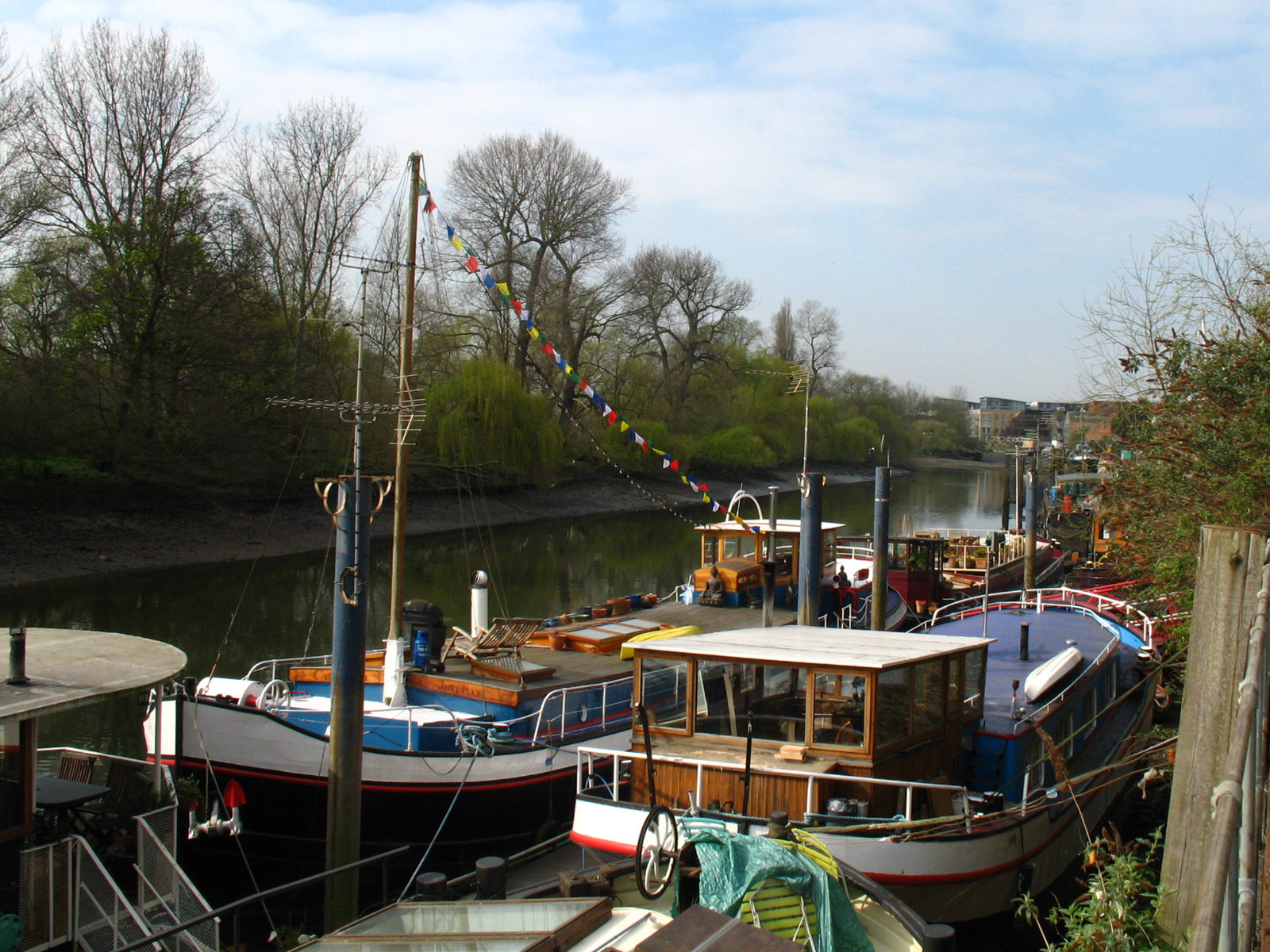
After a walk from Gunnersbury station, we reach the River Thames at Kew Bridge
and start a walk along the Thames Path westwards. There are lots of boats
permanently moored here, now serving as houseboats.
The great waterway, the River Thames, looking rather pathetic with the tide out.
To be fair, this is only part of the river, those old docks being on an island,
but it is the Thames, and the line of the borough boundary between Hounslow and
Richmond - perhaps suggesting that this was once the main channel.

After a rather frustrating bit of the Thames Path, which flits between the
riverfront and the road, making the route much longer than the riverfront, we
reach the entrance to the Grand Union Canal.
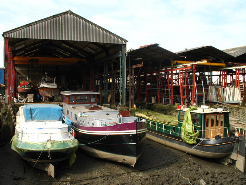
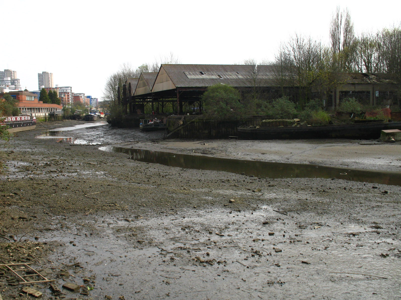
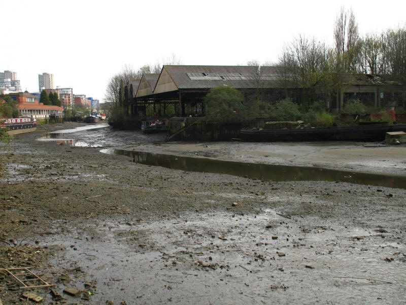
The boatyard by Thames Lock, with boats marooned on mud at low tide.
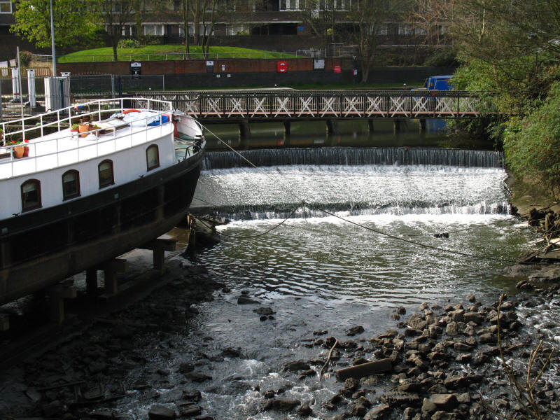
As the route (which is still the Thames Path at this point) diverts around that
boatyard, a view of the water of the River Brent pouring over a weir - the Grand
Union Canal in its lower stretches is actually the canalised River Brent.
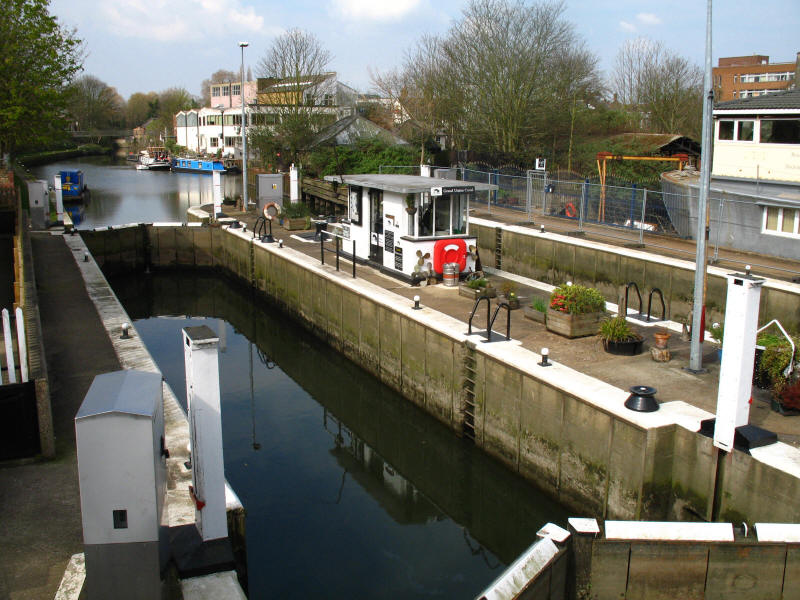
Finally we reach Thames Locks after the diversion around the boatyard, and from
here on it is a classic towpath walk. This lock number 101 on the canal from
Braunston, making 158 locks from the Thames to Bordesley Junction in Birmingham.
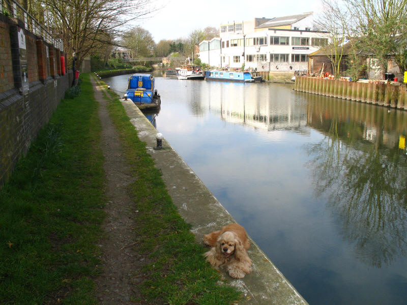
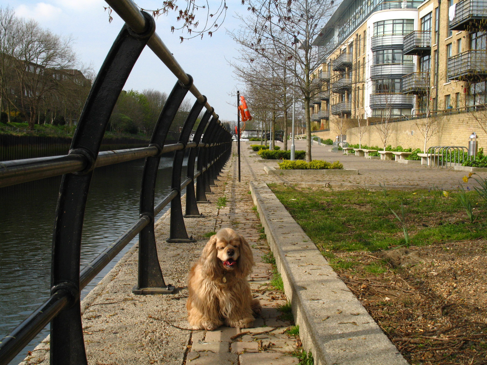
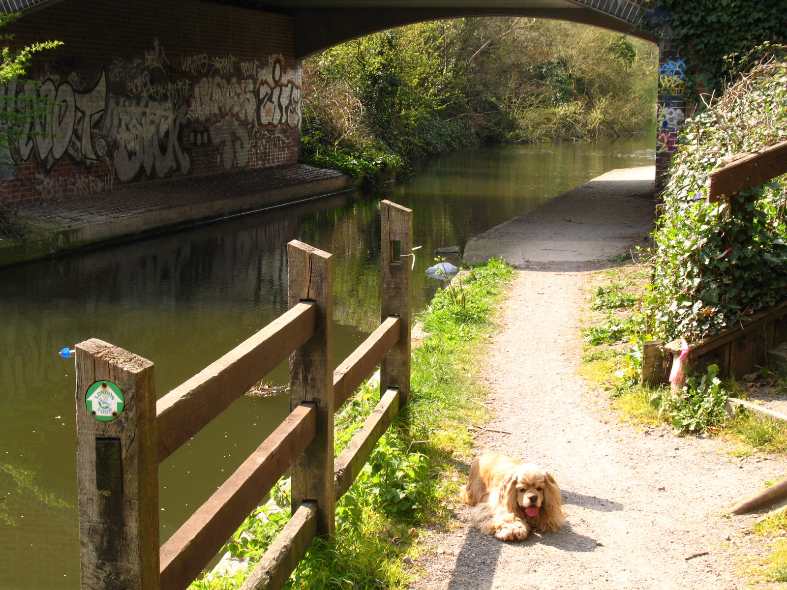
George takes a quick rest by the towpath. This bit of the Grand Union Canal and
River Brent is semi-tidal, the level rising a little at high tides.
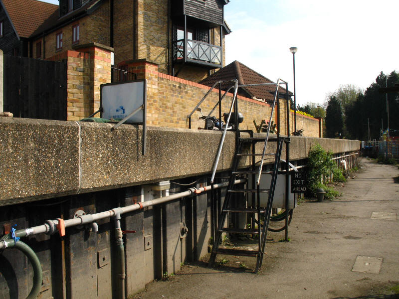
The Grand Union Canal Walk and the Thames Path makes an abrupt change of level
here by what the Thames Path guidebook described as a ladder. Well, not quite,
but the signing was distinctly temporary (that on the left with its back to us
is just held down with a sandbag).
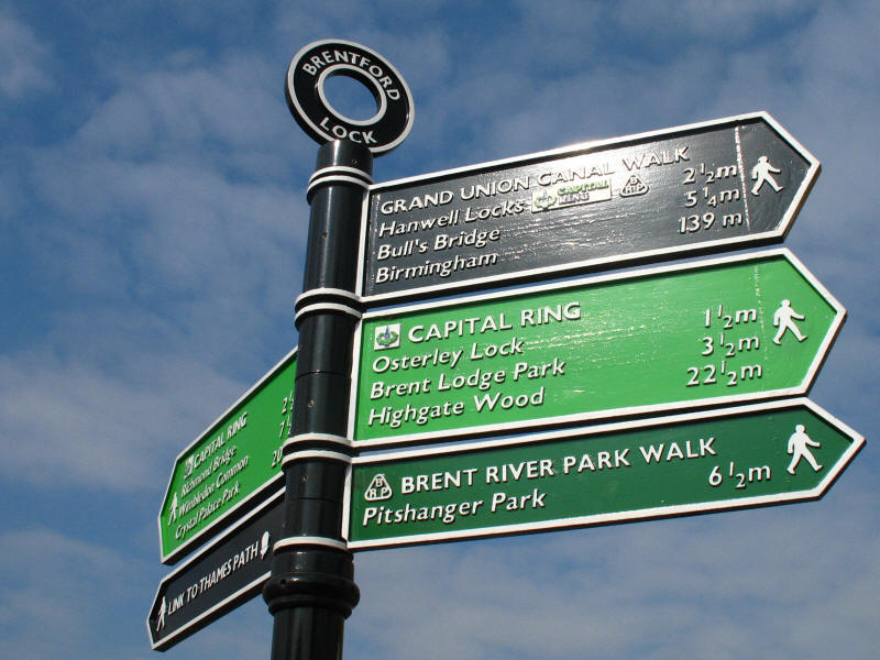
Crossing the A315 Brentford High Street, we join section 7 of the
Capital Ring,
which has come across Syon Park from Richmond Bridge. We follow the Capital Ring
into section 8 where it leaves us at the Hanwell flight of locks. The signpost
also shows that it is 139 miles to Birmingham along the Grand Union Canal Walk.
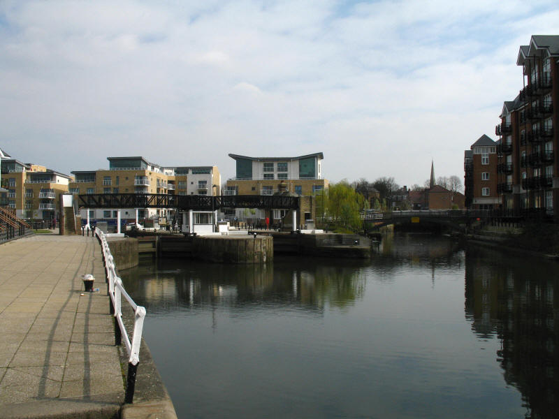
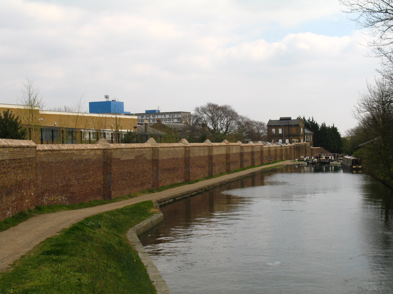
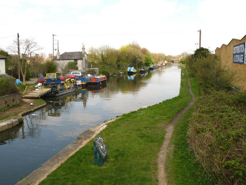
Brentford Gauging Locks, with the River Brent joining on the right.
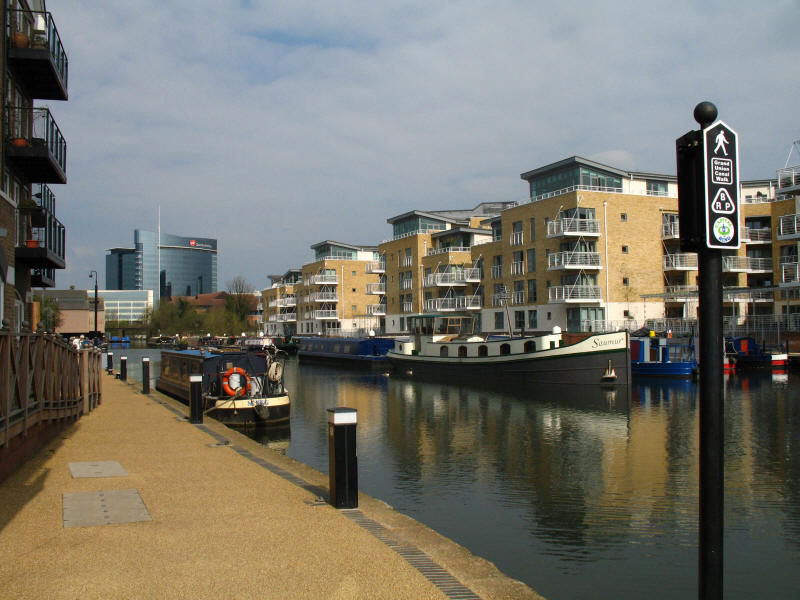
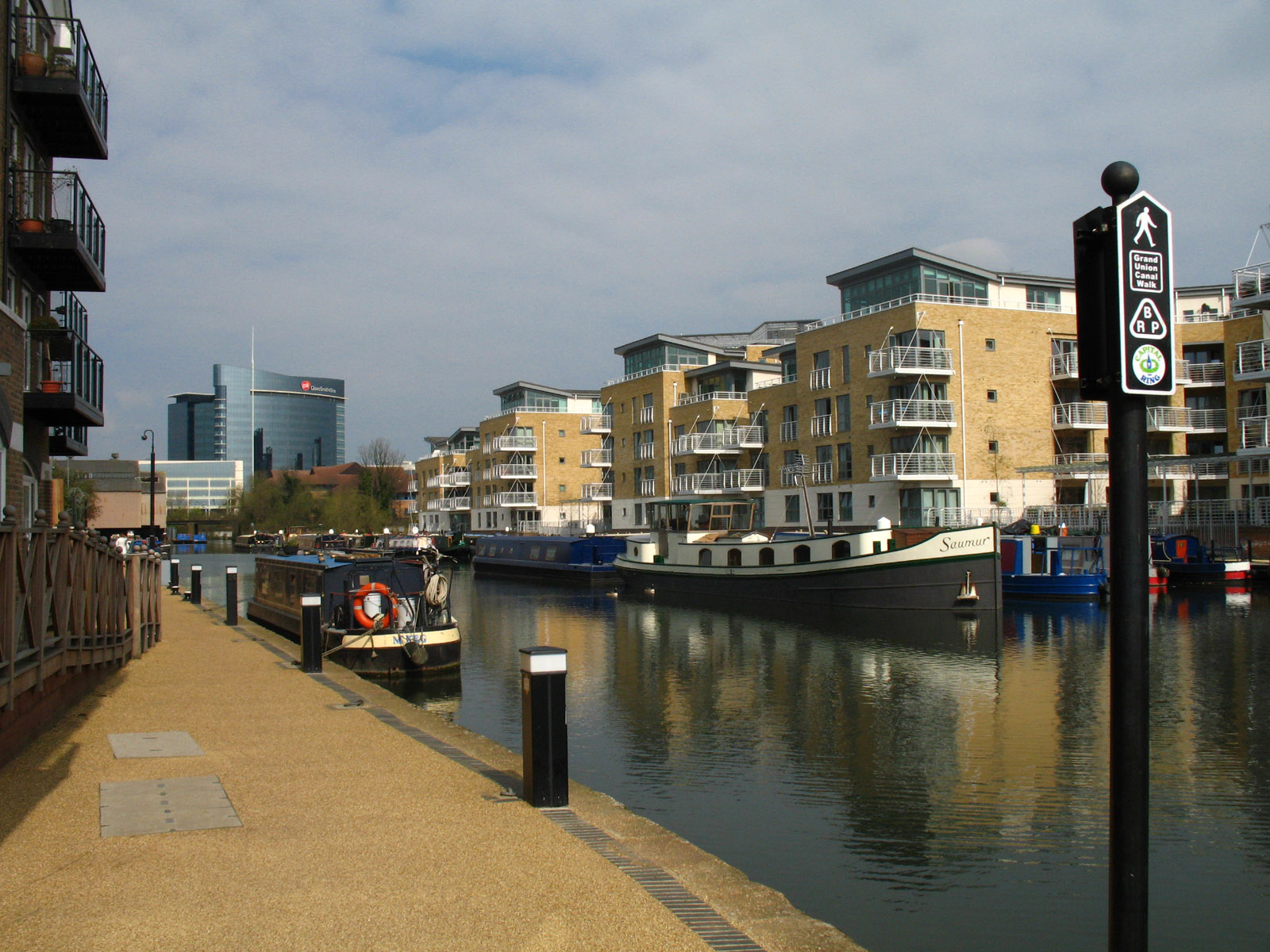
Modern apartments dominate what was once a bustling docks area, but with a
mixture of boats and reasonably attractive housing it looks a pleasant area.

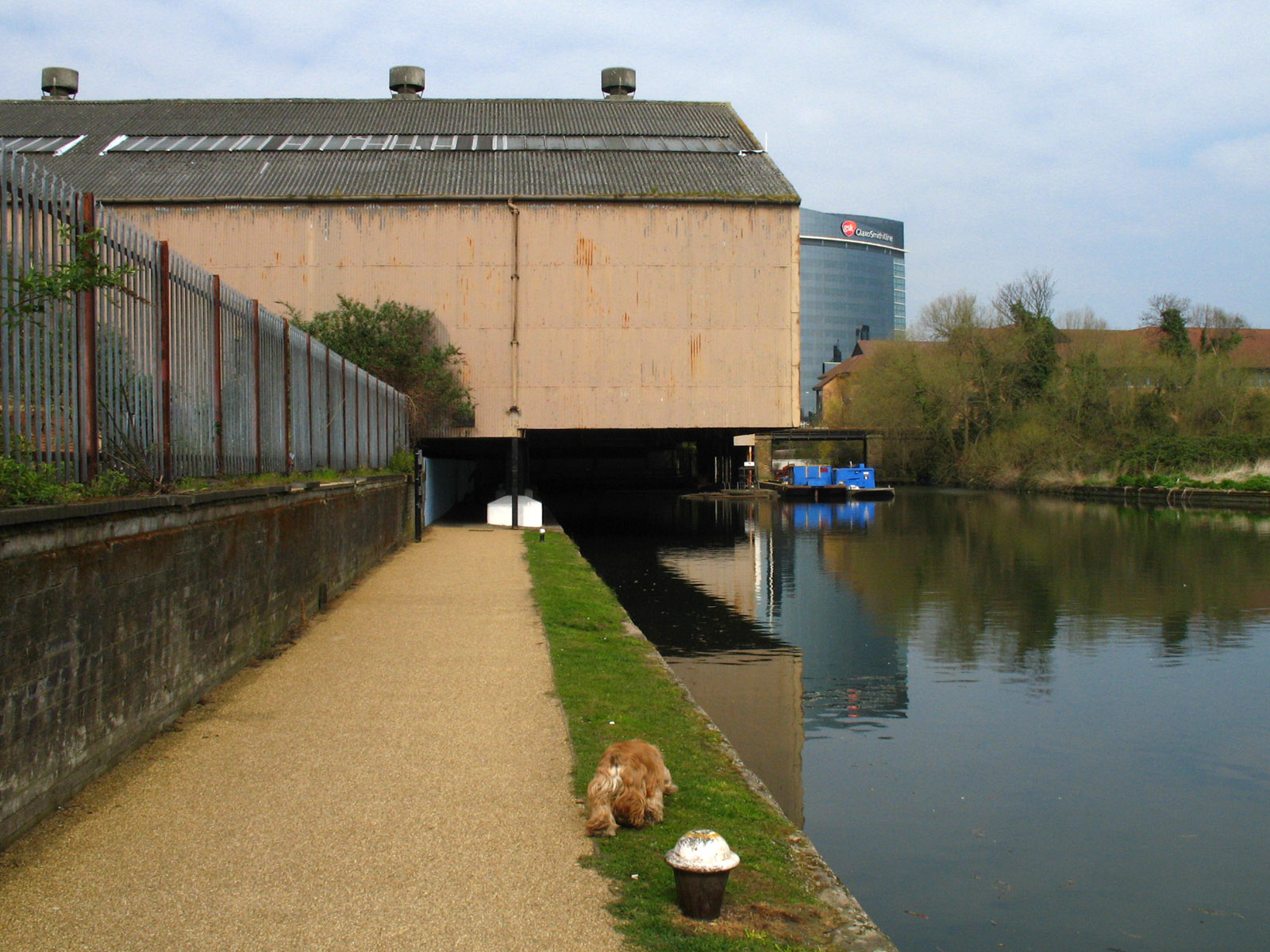
George heads off towards old and new - the disused covered loading area through which
the towpath makes its slightly spooky way, and the gleaming modern glass
skyscraper of the GSK head office.
We then reach Clitheroe's Lock, the first "classic" Grand Junction Canal lock we
have met. The locks between here and Braunston are of this pattern.
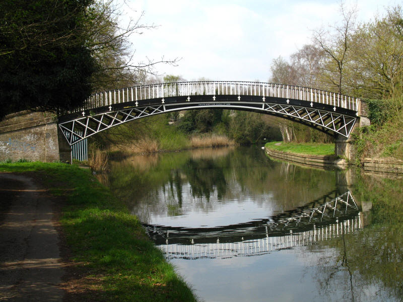
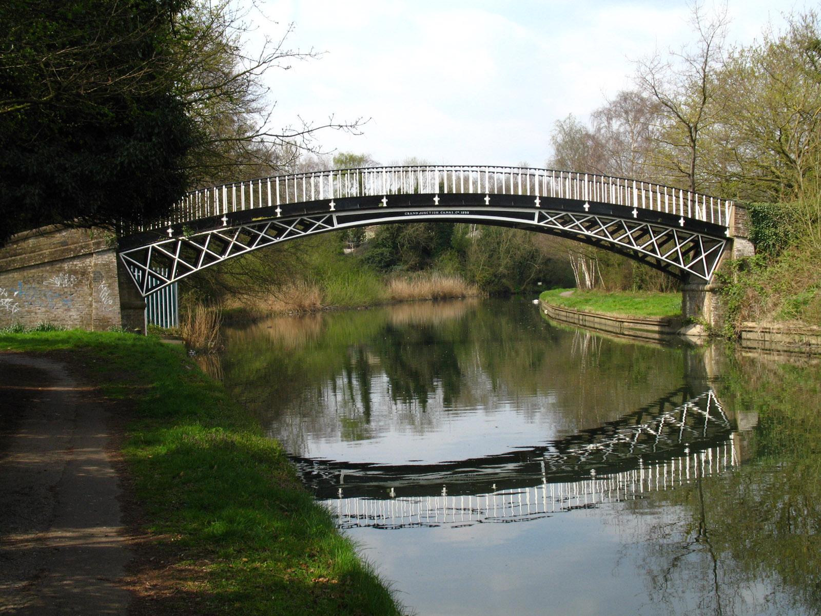
A graceful cast iron bridge, made at Horseley Iron Works near Birmingham in
1820, carries the towpath from the south to the north bank of the canal.

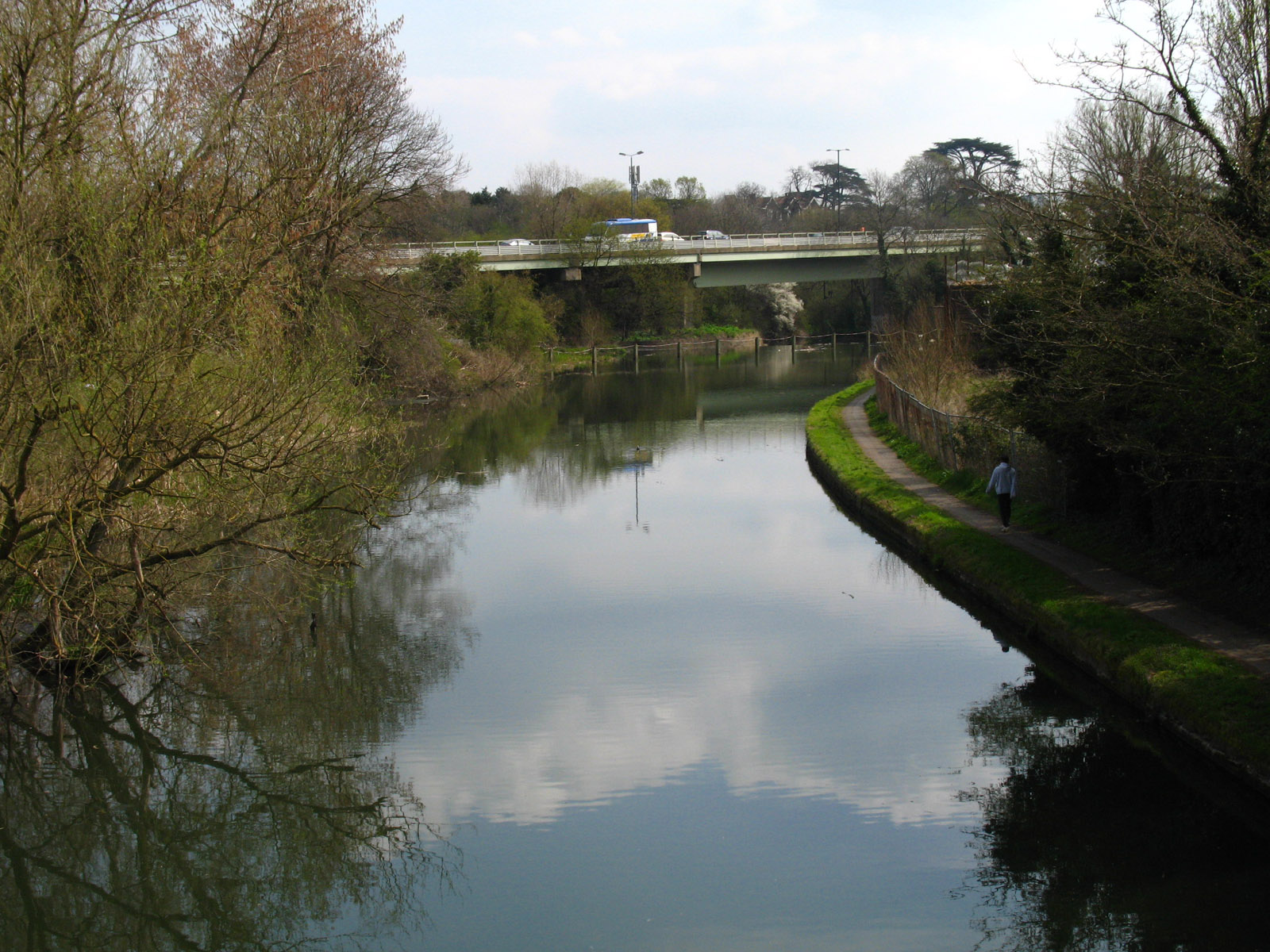
Looking back from that bridge, the canal going around the corner to the right
while the River Brent disappears over a weir (protected by the fence that is
just visible) and under the M4 viaduct.
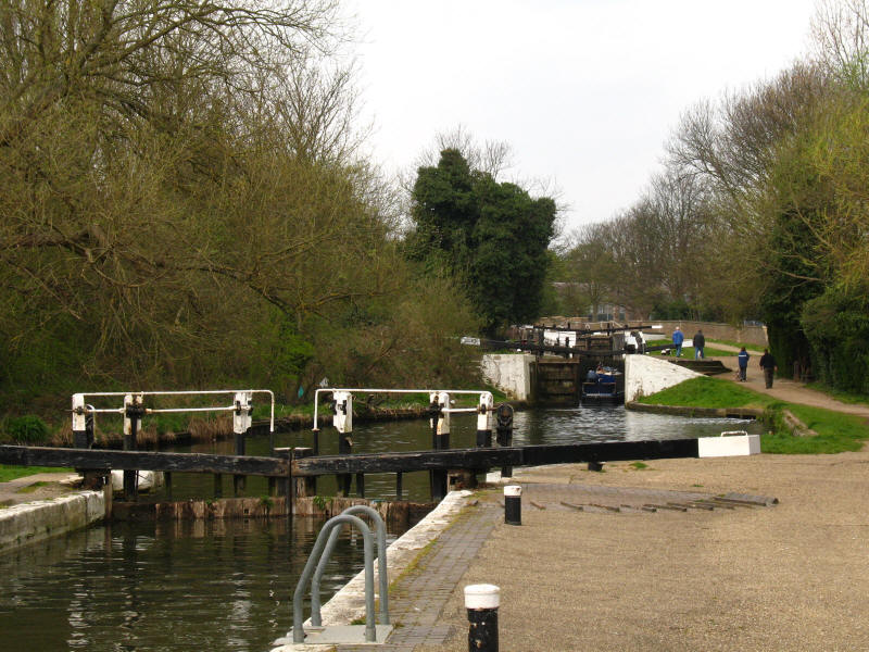
The Hanwell Locks are a flight of six (numbers 97 to 92) which lift the canal
away from the River Brent for the last time - the
Capital Ring leaves us here
too, making its way along the river. Here we look from lock 97 to locks 96 and
95.
George rolling around on the grass below lock 93.
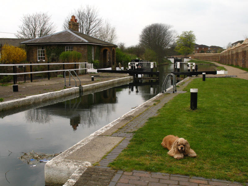
An unusual lock cottage at lock 93.
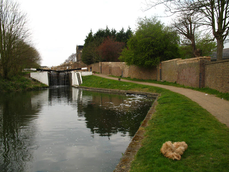
Looking back from lock 92. Behind the wall was the (1st) Middlesex County
Asylum, better known as Hanwell Asylum, which opened on 16 May 1831. The site is
now home to the West London Mental Health NHS Trust: the very high barbed wire
topped fences give it the air of a prison.
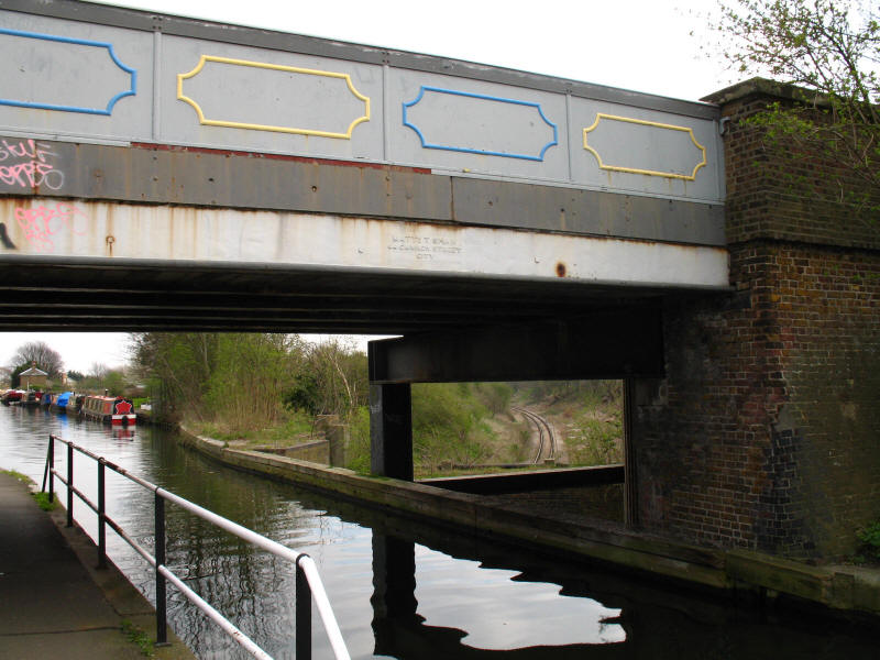
This unusual structure is known as Three Bridges, or sometimes as Windmill Bridge. Here
Windmill Lane is carried over the canal by a cast iron bridge, and the canal
itself is carried over a branch of the Great Western Railway in an iron trough.
The bridge dates from 1855 to 1861. The name is inaccurate, as really there are
only two bridges, but it is still an interesting structure, designed by Isambard
Kingdom Brunel, and is a rare surviving example, most of the cast iron
structures he designed having been since replaced.
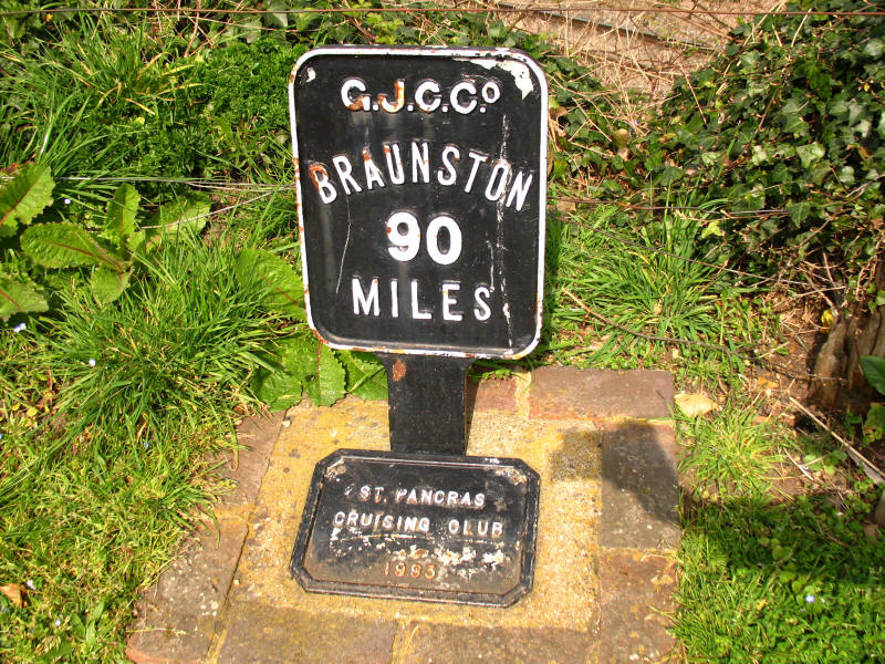
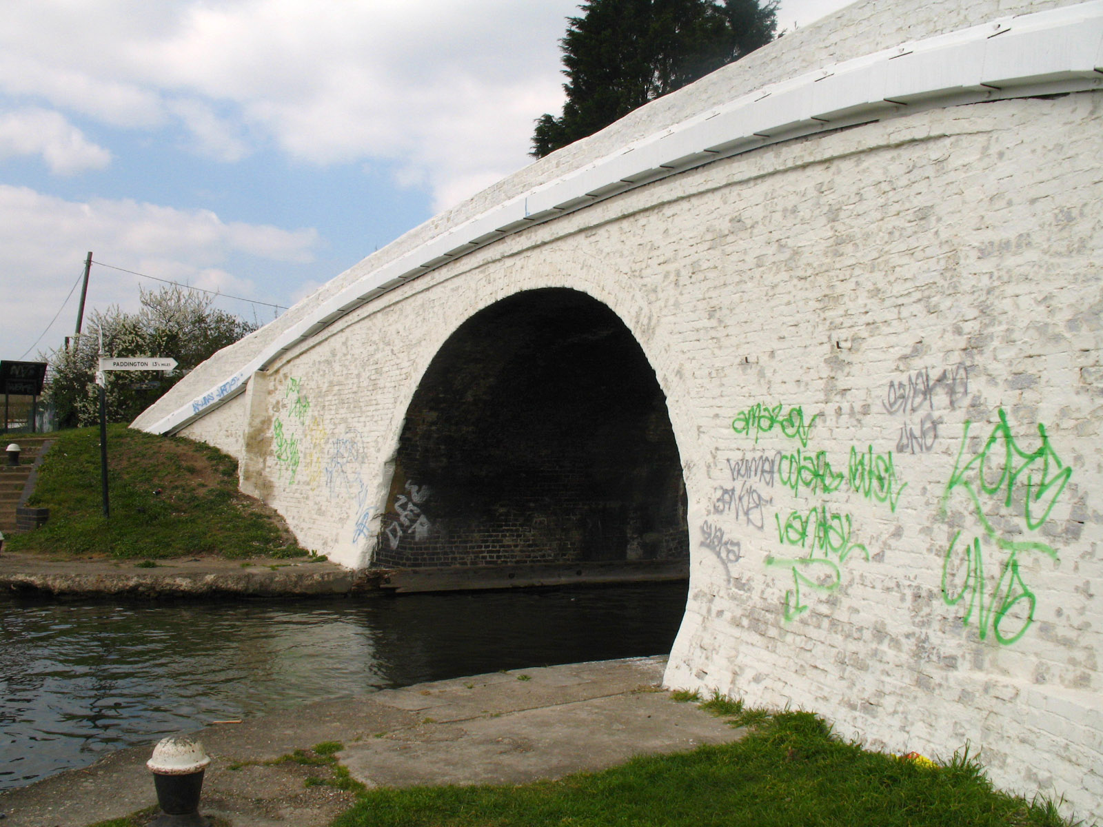
Only 90 miles to Braunston, the northern end of the Grand Junction Canal with
the Oxford Canal.

We then reach Bull's Bridge, junction with the Paddington Arm of the Grand Union
Canal, sadly looking rather shabby, even without the graffiti. Paddington basin
lies about 13½ miles away along a level pound - the level canal between
Paddington and west London, and even as far as Slough, helped this part of the
canal to remain competitive against the railways much later than elsewhere.
Looking north-east along the Paddington Arm.

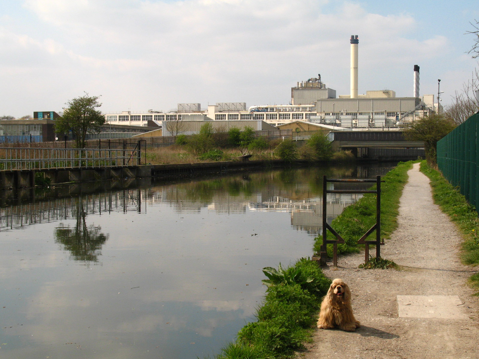
Looking to the Nestlé factory, a destination known to generations of working
boatmen as "Hayes Cocoa".
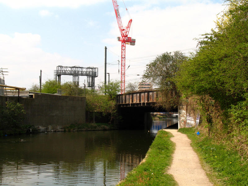
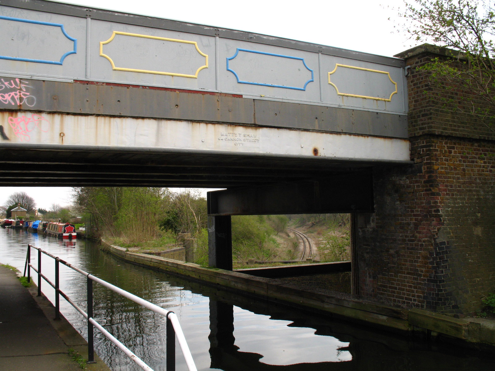
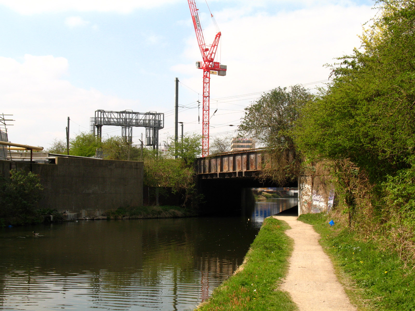
Here we pass under the Great Western railway mainline.

One of a number of bridges remaining on the towpath side which allowed access to
wharves served by the canal.

Since Bull's Bridge, we have been sharing the route with the
London Loop, and so we
have walked bits of the route here, though the Loop takes, well, loops, off to
the sides of the canal, so parts are new to us.
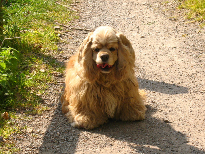
George takes a breather on this warm Easter weekend.
Another side arm no longer in use, and the site of a business park. After this
the canal is straight and less interesting as it makes its way through the
suburbs of West Drayton and Yiewsley. Lucy picked us up near West Drayton
station, setting up a future walk from there, perhaps to Rickmansworth. I don't
think a walk all the way to Birmingham is likely, but perhaps eventually to
Cosgrove (north of Milton Keynes, where the regular railway stations cease) may
be appropriate eventually - or even to Blisworth, which would cover all of the
canal that we haven't done by boat. We shall see, but in the meantime, an
enjoyable spring walk.
Zoom in for more detail, or see map in larger window: Ordnance Survey |
Open Street Map |
Google Maps
Total distance 17.4km in 4 hours 40 minutes (3 hours 35 minutes on the move
according to the GPS).
|