Grand Union Canal from Greenford to Hanwell via Bulls Bridge and
Capital Ring from Hanwell to Greenford
23 February 2008
Today's walk combined three routes, picking up the Paddington Branch of the Grand
Union Canal where we left it in January
in Greenford, walking east along the mainline of the Grand Union down the
Hanwell flight of locks, and then picking up the Capital Ring to take us back to
Greenford.
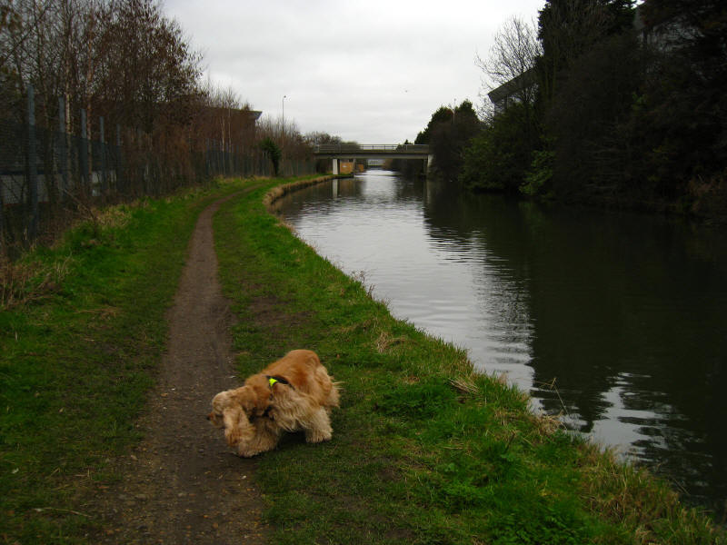
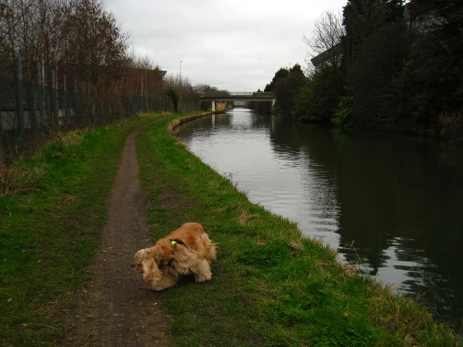
Setting off along the Paddington Arm of the Grand Union Canal: a typical scene
with a fairly straight canal, trees and light industry fringing the canal.
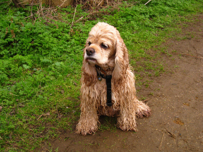
George after falling into the canal. Exactly what happened I don't know as I
wasn't watching - I just heard a "plop" from behind me, and turned to find
George frantically paddling. With the harness on, it wasn't difficult to pull
him out. The canal had a perfectly decent edge, so I guess he just overbalanced.
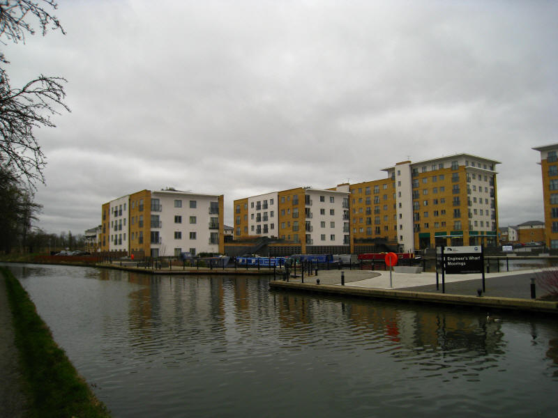
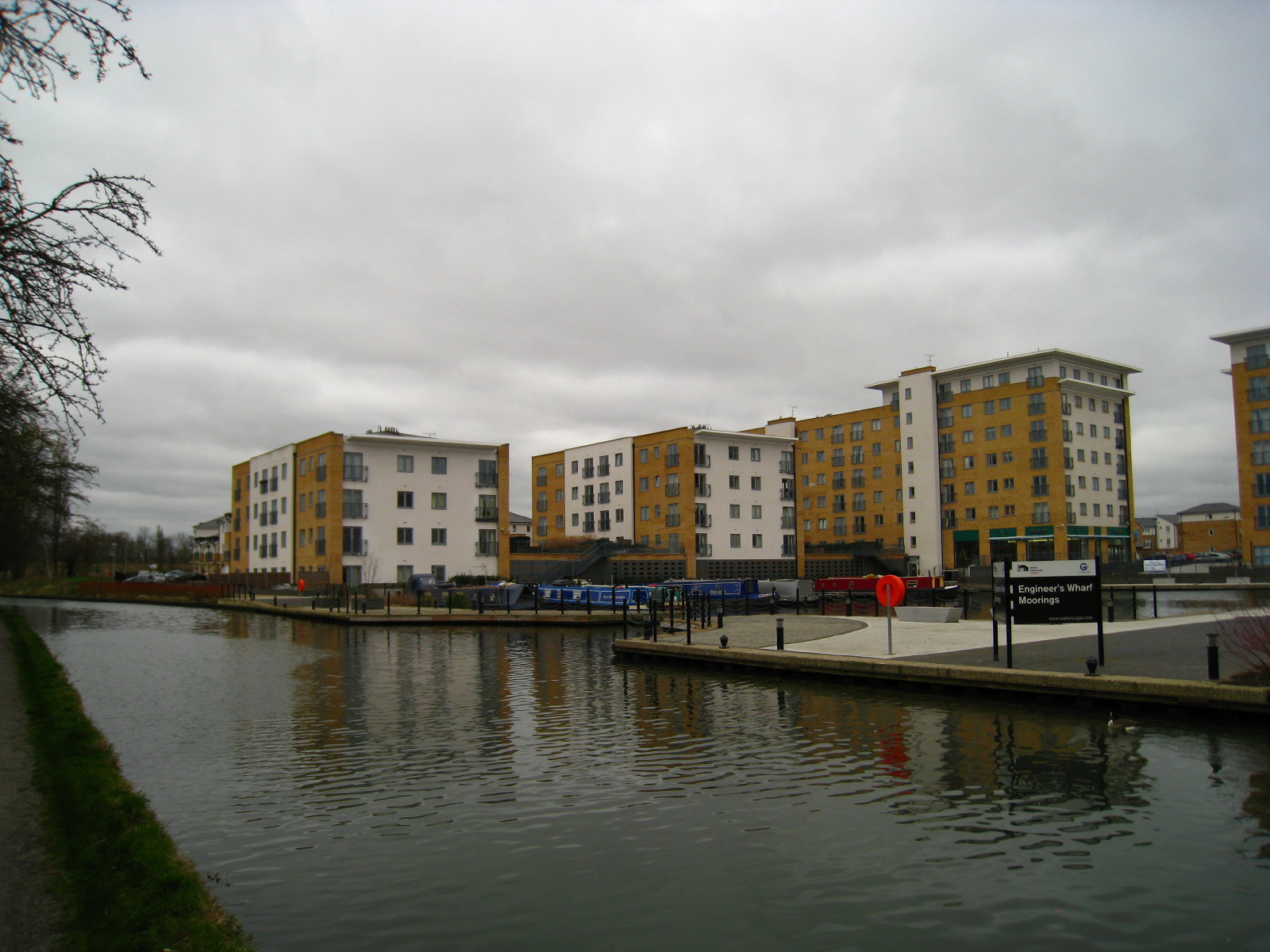
Another feature of all urban canals nowadays is modern apartment blocks: here is
Engineer's Wharf.
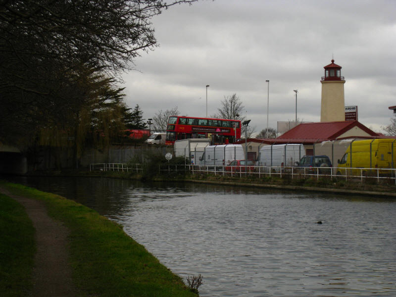
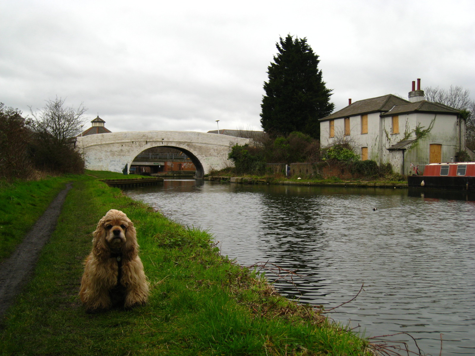
An inland lighthouse - a larger rival to the
other inland waterways lighthouse
at Hanbury Wharf

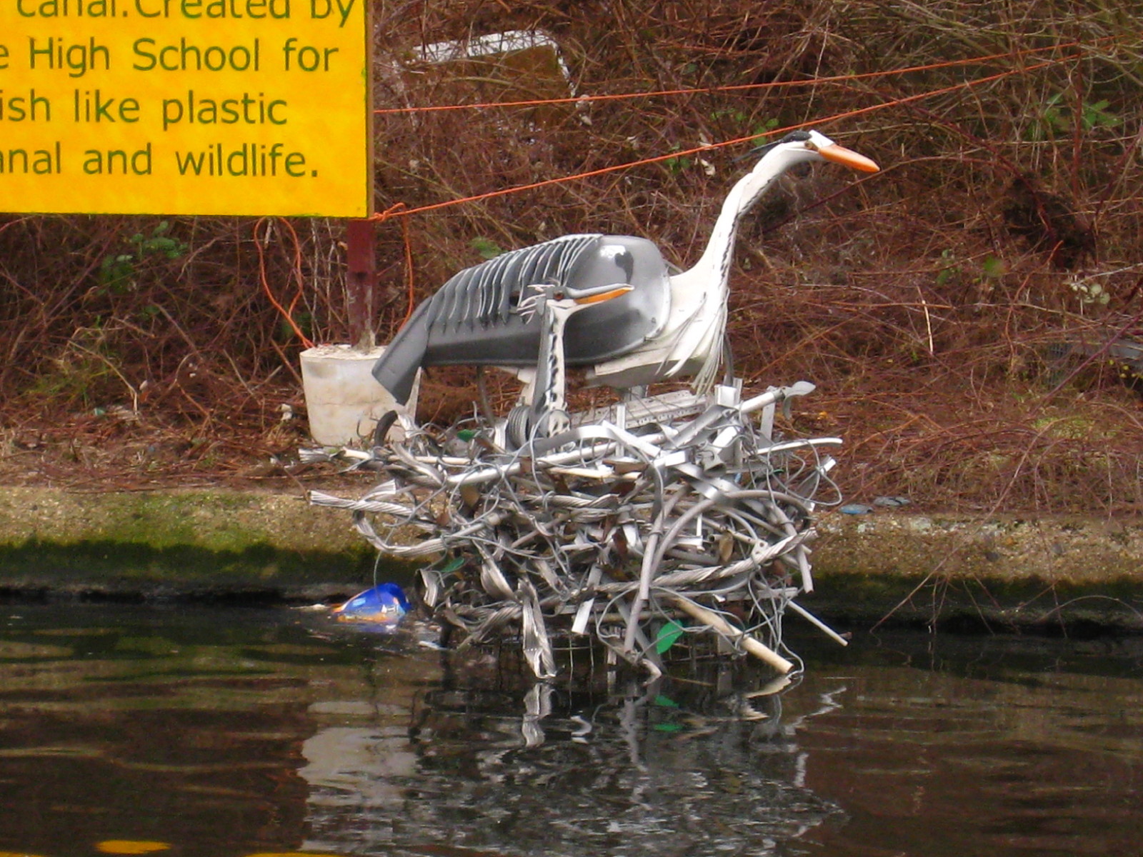
A sculpture of a heron nesting on rubbish. I'm not sure if I like this for being
imaginative and stimulating, or hate it for being hideous!

George at Bull's Bridge. The Paddington Arm of the Grand Union Canal starts here
by coming through the bridge and travelling north and east through western
London to reach the Paddington Basin.
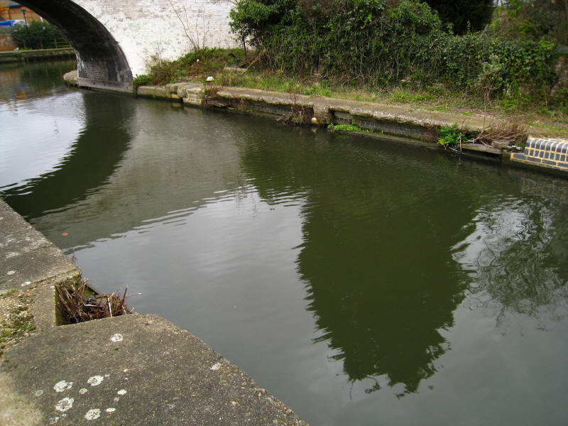
The remains of stop gates at the junction
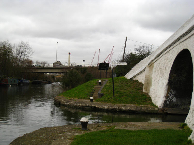
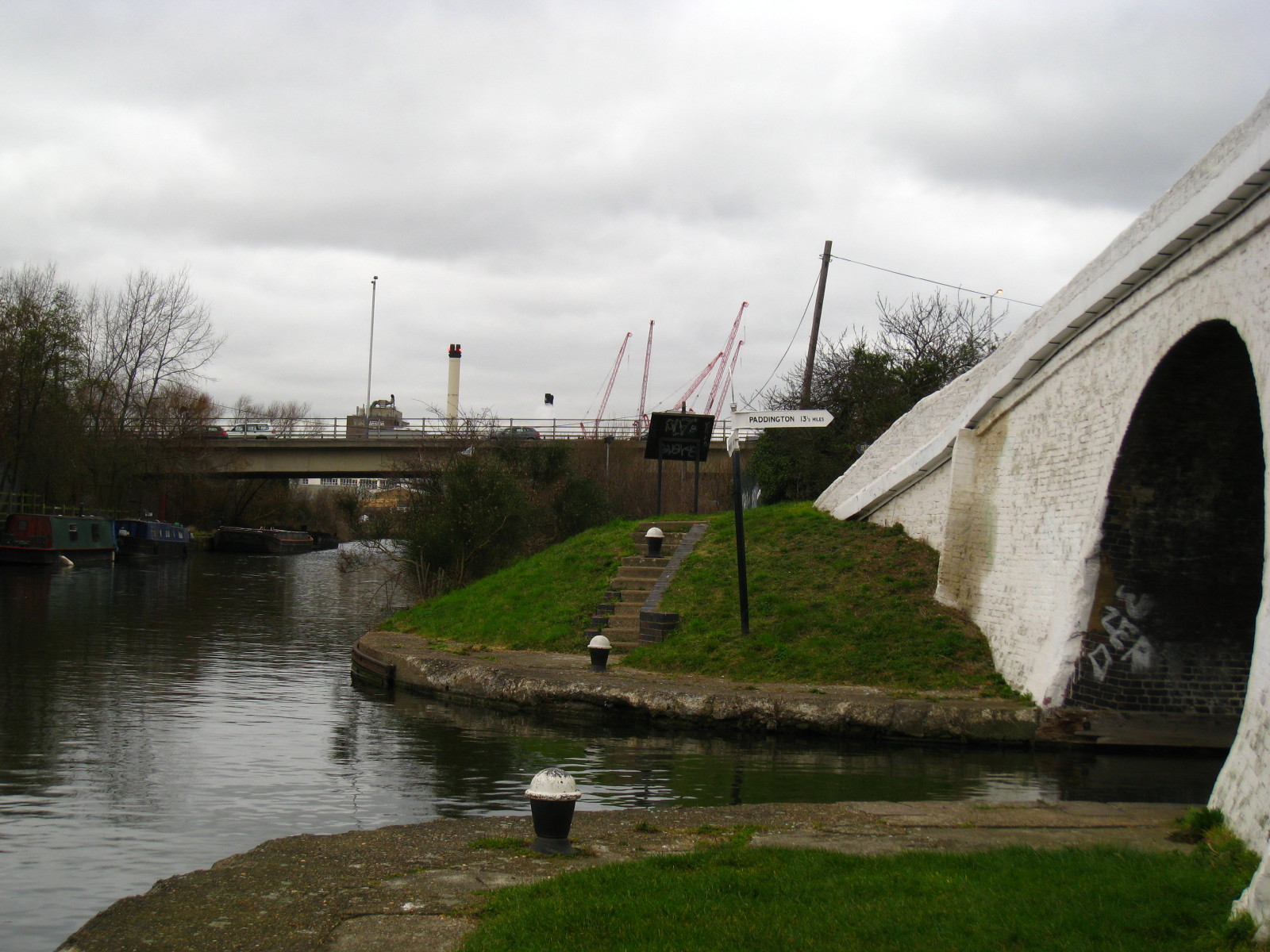
After an hour an a half, time for a little sit down and some lunch. The signpost
shows it is 13½ miles along the canal to Paddington. Beyond it the traffic
crawls over the A312 viaduct, perhaps on their way to Heathrow; and behind that
lies the factory known to generations of boatmen as "Hayes Cocoa". That way lies
Birmingham along the
Grand
Union Canal, as does the
London Loop towards
Uxbridge
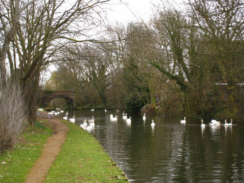
Our way lies east, back along the main line of the Grand Union Canal towards the
Thames. There was a high swan population here, with 73 being counted between
Bulls Bridge and the Hanwell Locks, including 52 in a section less than 400
metres long.
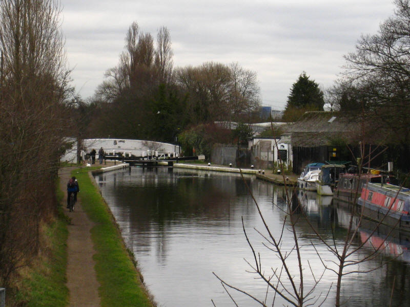
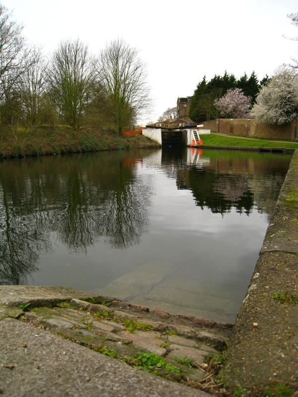
Approaching the top lock of the Hanwell flight, lock 90.
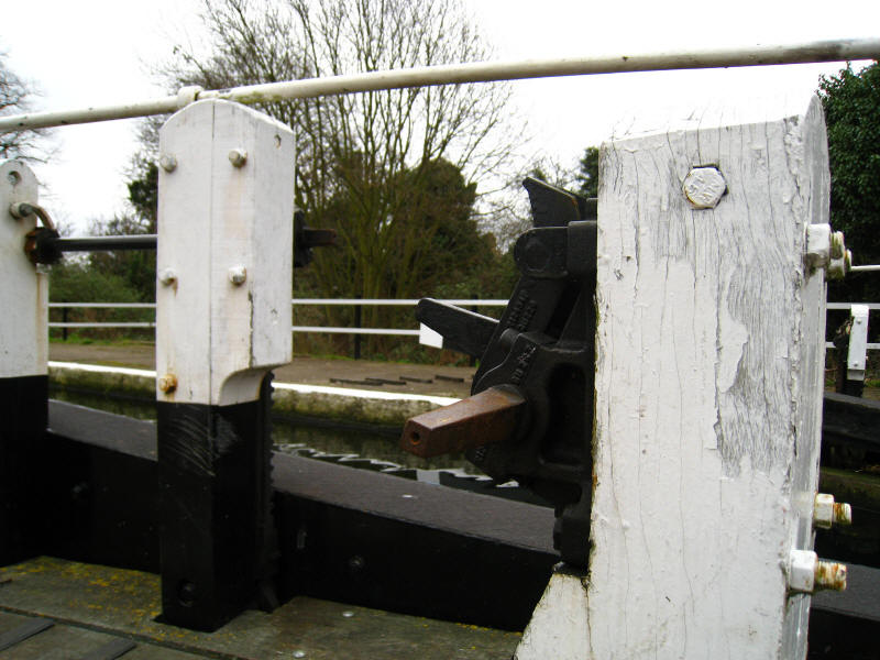
Paddle gear at lock 91
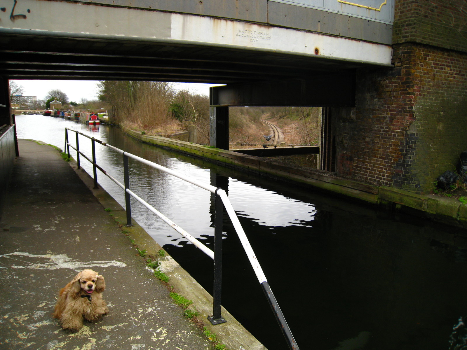
After two of the locks, we reach "Three Bridges", where a road crosses the canal
crossing the railway. It was designed by Isambard Kingdom Brunel for the Great
Western Railway branch from their mainline to Brentford Dock. It was completed
in 1859 and was perhaps Brunel's last major undertaking. It is a rare surviving
example, most of the cast iron structures he designed having been since
replaced. (Of course, the name is inaccurate - depending on how you count, it is
either two bridges or one, but not three.)
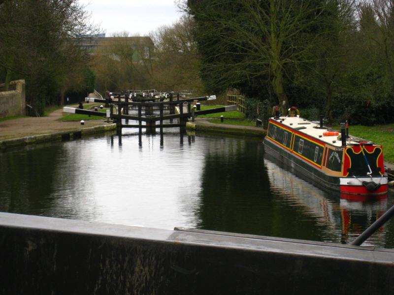
Continuing down the Hanwell flight of locks, looking from lock 92 to lock 93
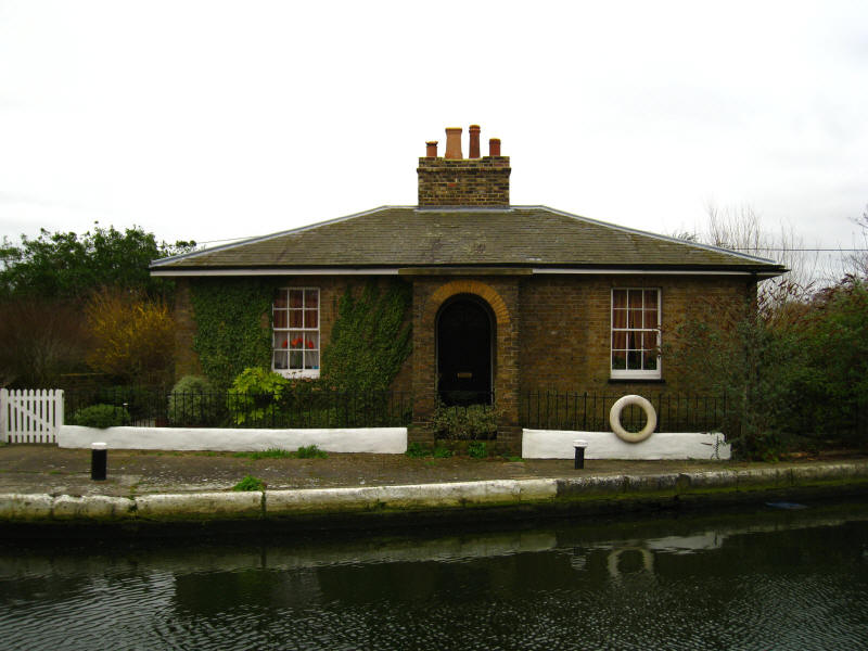
A splendid lock cottage at lock 93

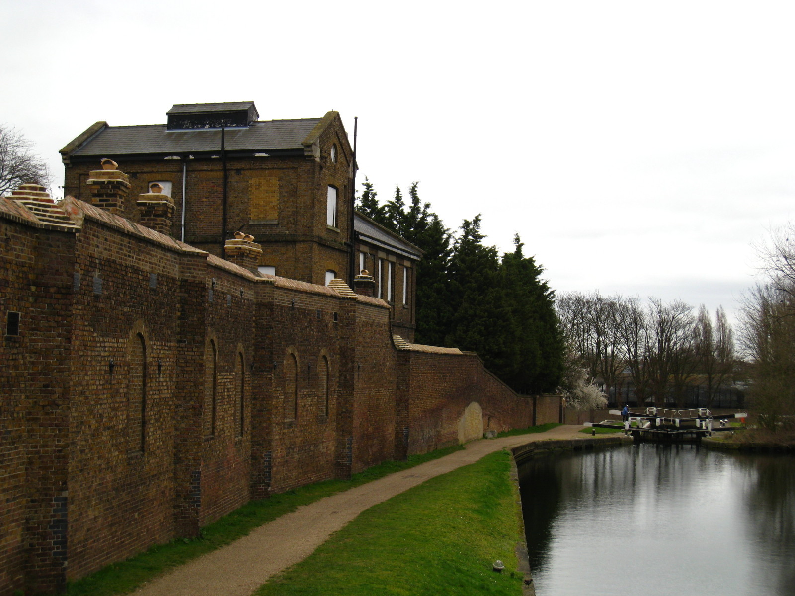
Looking to lock 94, we can see the high walls of Ealing Hospital, originally the
(1st) Middlesex County Asylum, better known as Hanwell Asylum, which opened on 16 May 1831. The site is
now home to the West London Mental Health NHS Trust: behind the very high walls
are very high barbed wire
topped fences. The pale filled in arch was once the entrance to a dock in the
asylum. Asylum Dock was used to bring in goods for the hospital, such as coal,
and to transport out excess home-grown produce from the hospital.
A ramp out of the canal for horses that fell in.
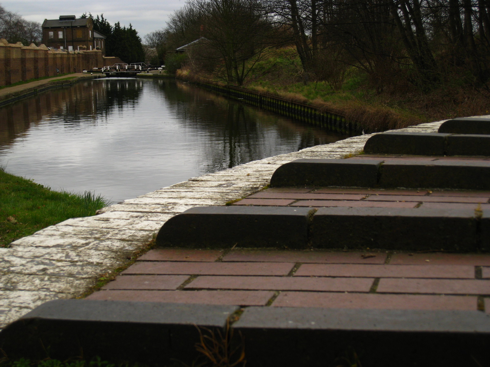
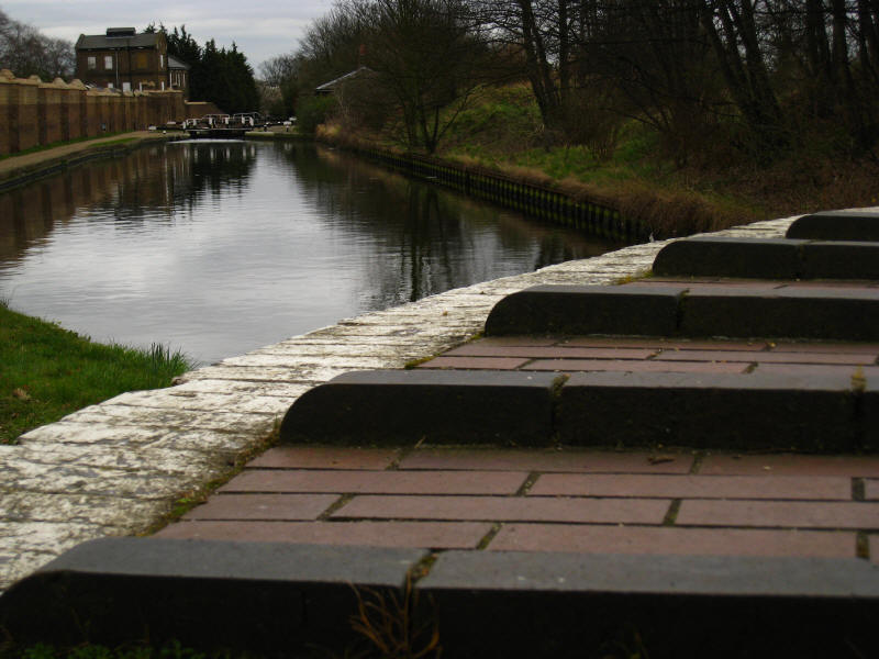
From lock 95 looking to locks 96 and 97, the bottom of the flight.

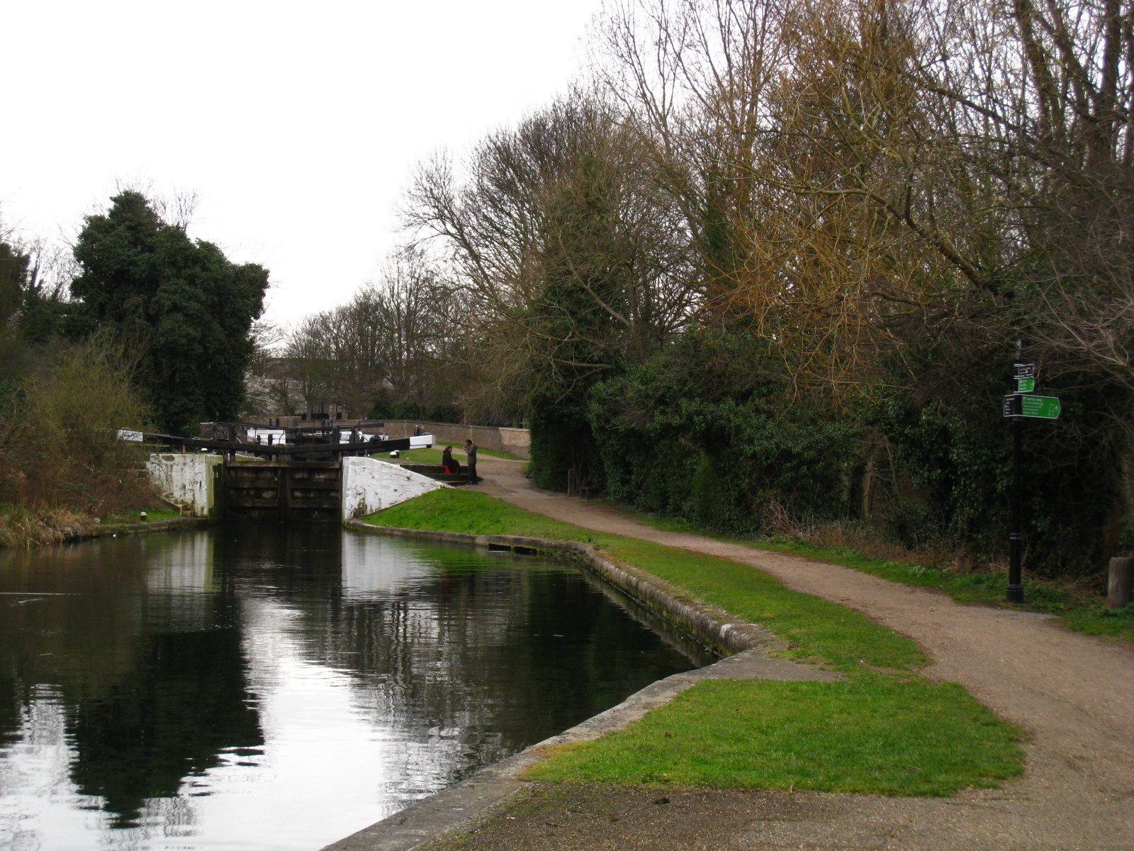
Sitting on the lock beam of lock 97, having second lunch, the signpost on the
right shows that we are on the Capital Ring. Our way lies off to the right,
following the River Brent upstream.
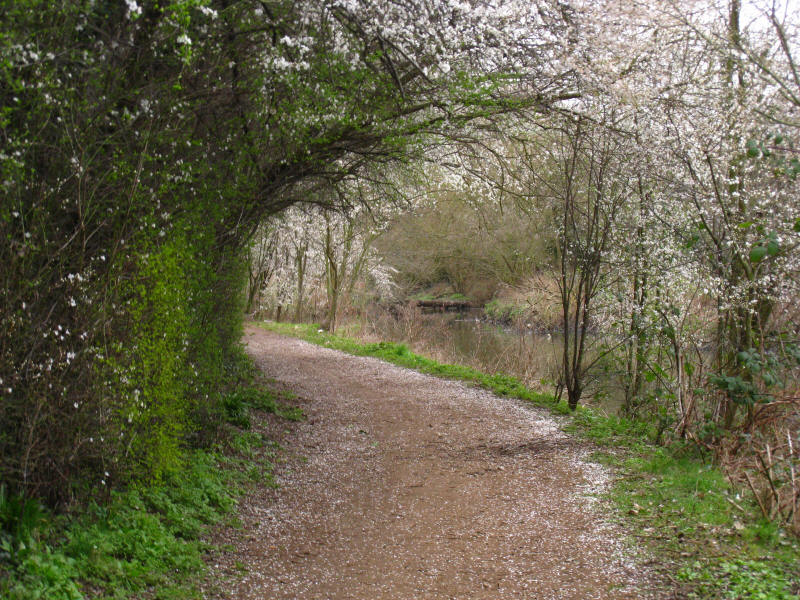
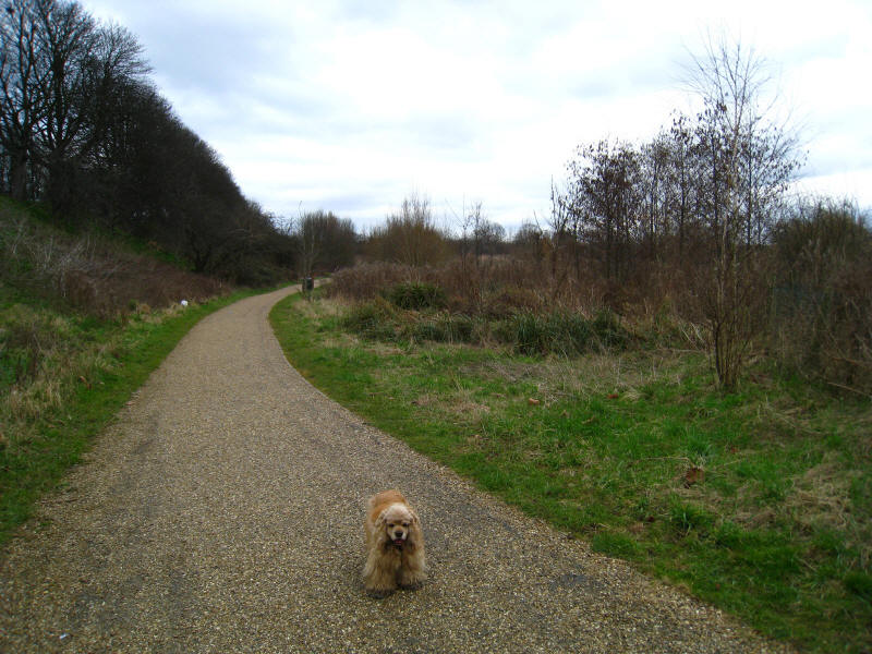
Blossom on the path as we follow the Brent

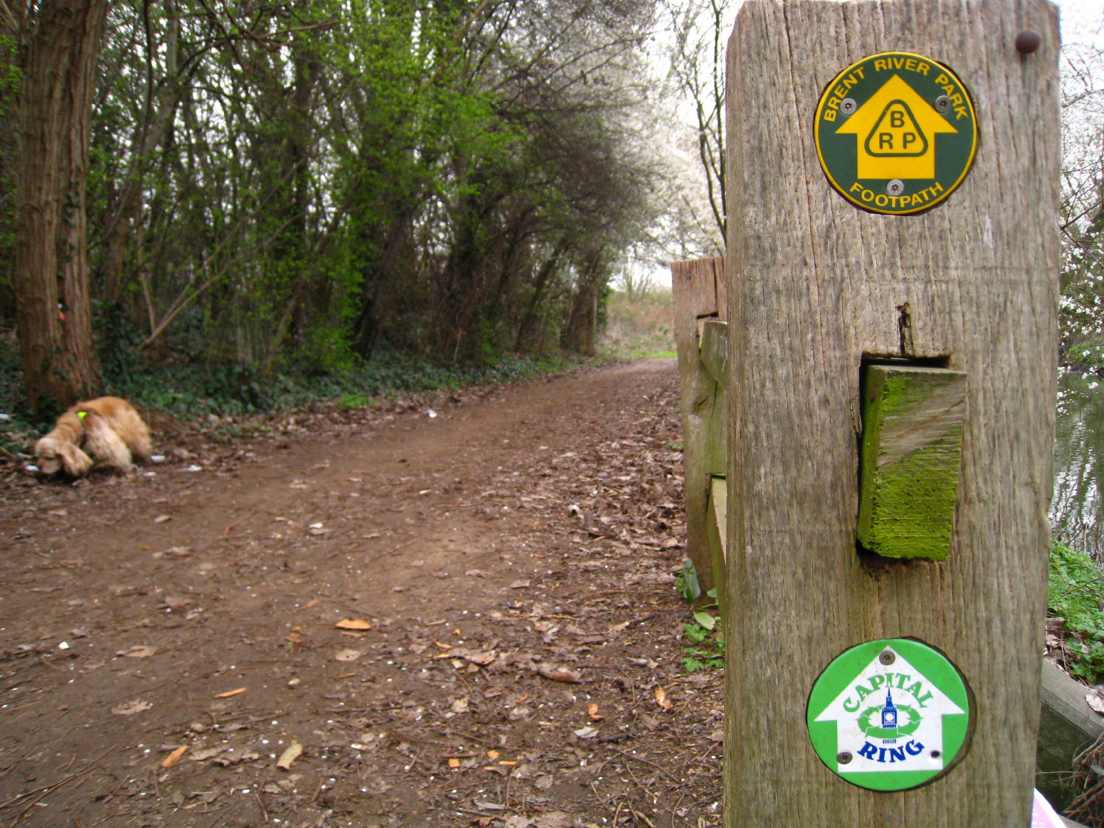
For a fair way, the Capital Ring follows the Brent River Park Footpath
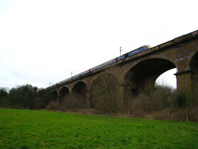
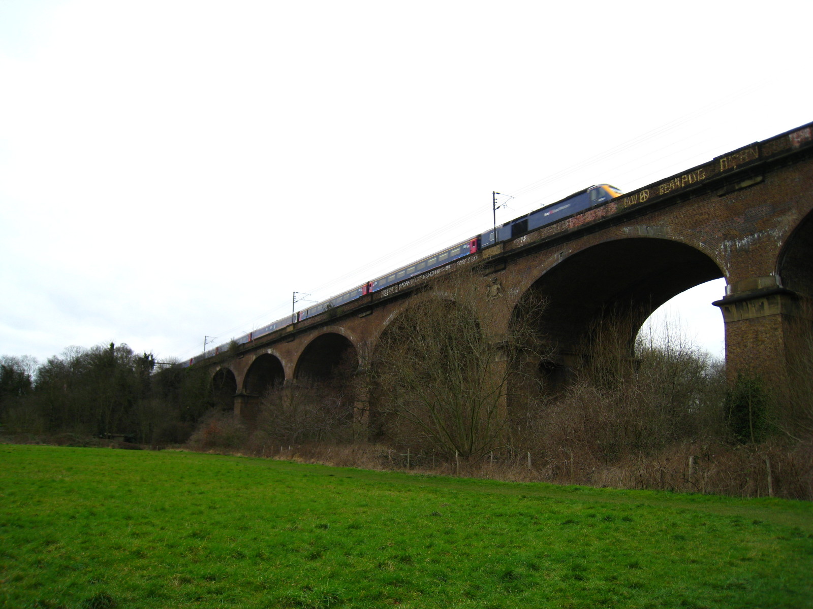
A First Great Western train bound westwards heads across Brunel's Wharncliffe
Viaduct: named after Lord Wharncliffe who was chairman of the parliamentary
committee that steered the Great Western Railway Bill through Parliament, it was
completed in 1837. Lord Wharncliffe's coat of arms can be seen just to the right
of centre of the photo.

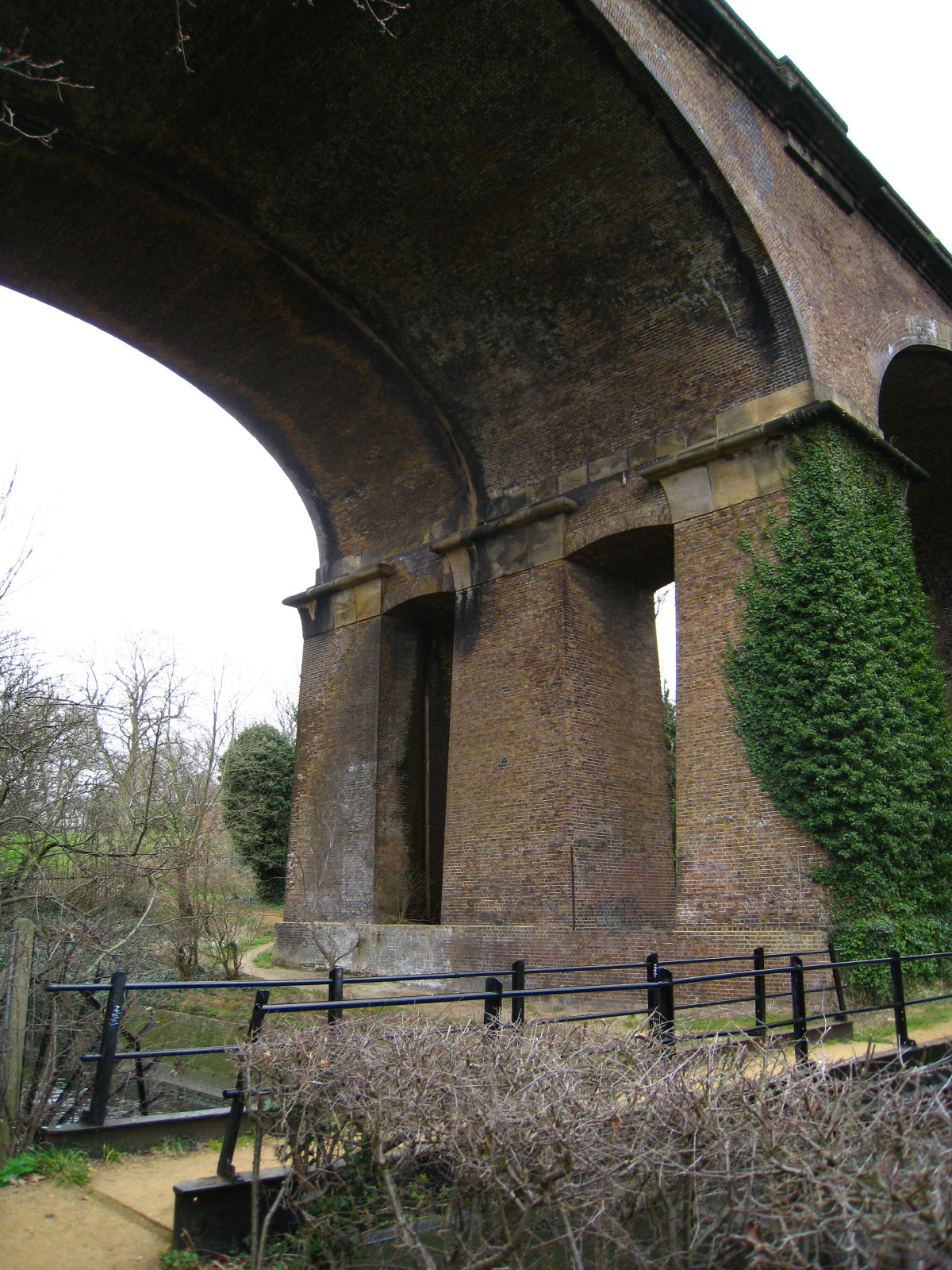
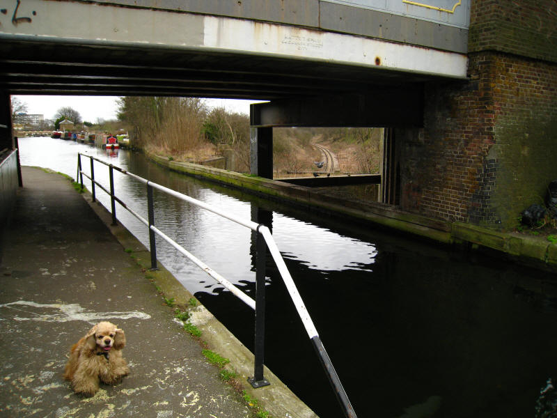
The path crosses the Brent and under the impressive viaduct. This was the first
major structural design by Isambard Kingdom Brunel, the first building contract
to be let on the GWR project, and the first major engineering work to be
completed. It was also the first railway viaduct to be built with hollow piers,
a feature much appreciated by a colony of bats who have since taken up residence
within.

After passing through Churchfields Recreation Ground we reach Brent Lodge Park,
where we see the Millennium Maze, planted in 2000 with yew bushes. The route
here follows the twists and turns of the river. The guidebook gives the
impression of adopting double standards. When we reached Hanwell Bridge which
takes the A4020 across the Brent, we were told that if the route under the
bridge was flooded "you may prefer to cross the road at the traffic lights" -
gee, thanks. But in Brent Lodge Park, after tells us that the "route officially
follows the bends in the River Brent" it adds "no short cuts, please", which
almost sounds like an invitation!
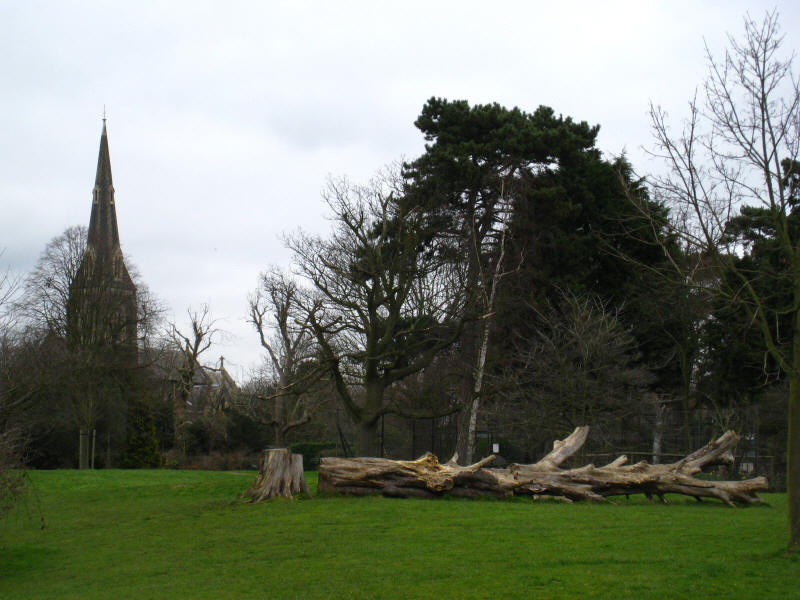
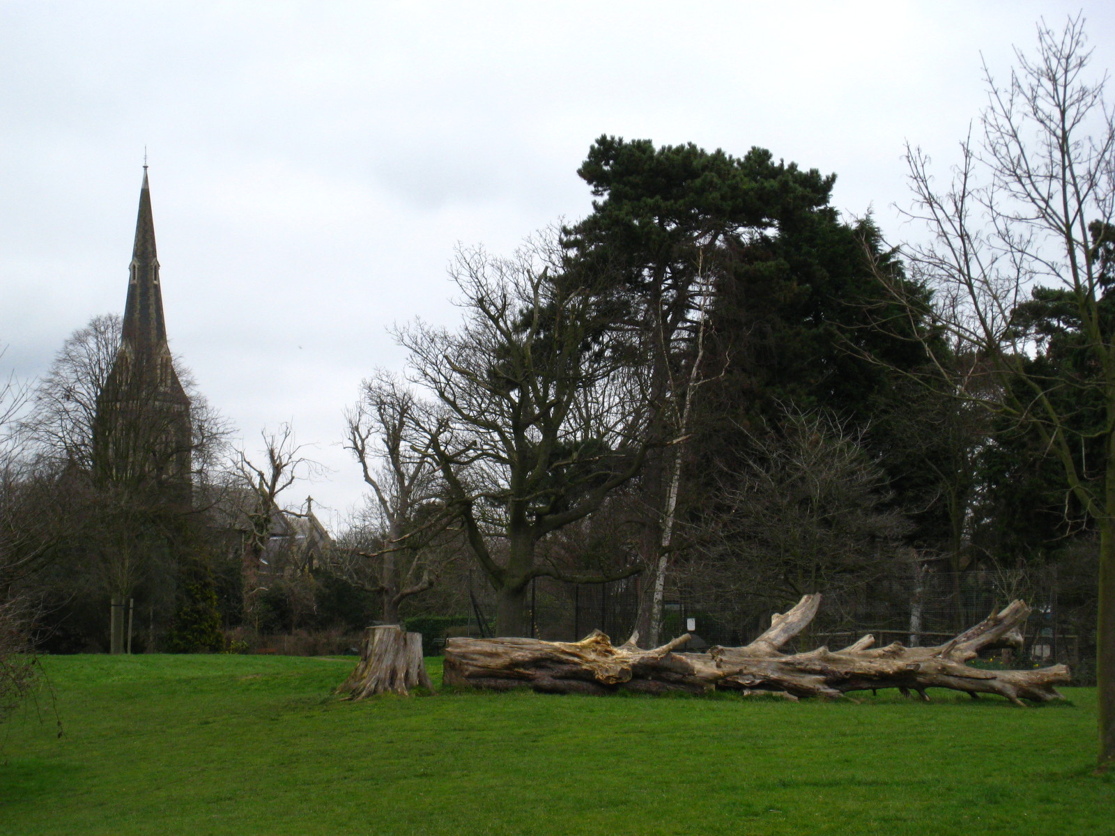
St Mary's church, Hanwell, which we have seen from quite a few perspectives from
the twisting course of the river. Built in 1841 it was one of the earliest
creations of architect George Gilbert Scott.
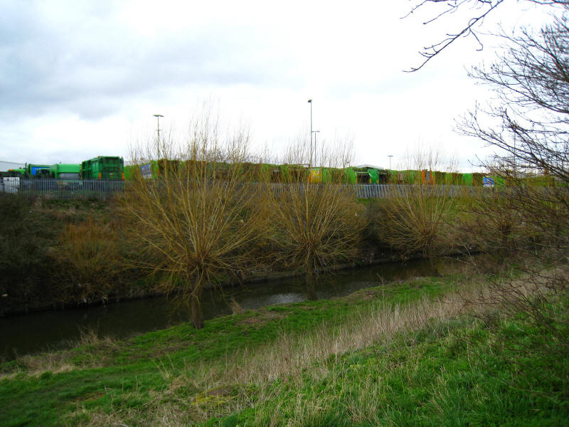
Smelly rubbish lorries as we climb briefly away from the Brent to walk along the
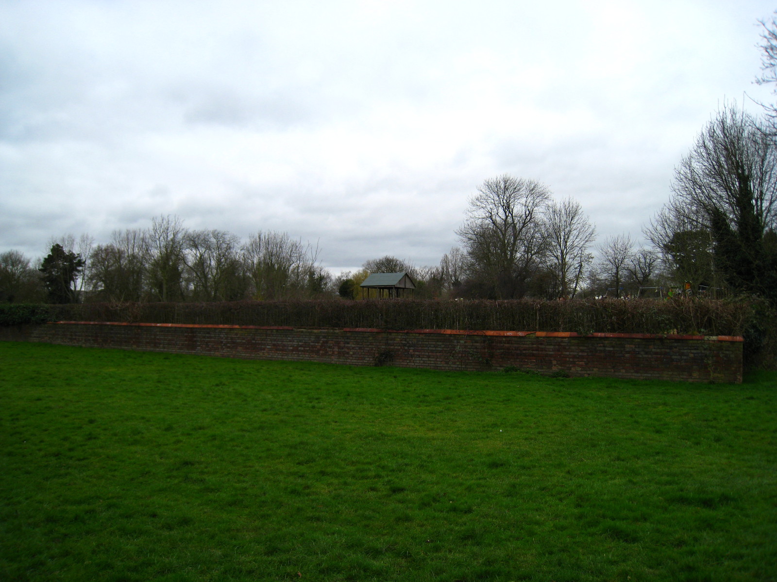
grassed-over former rubbish dump now named Bitterns Field.
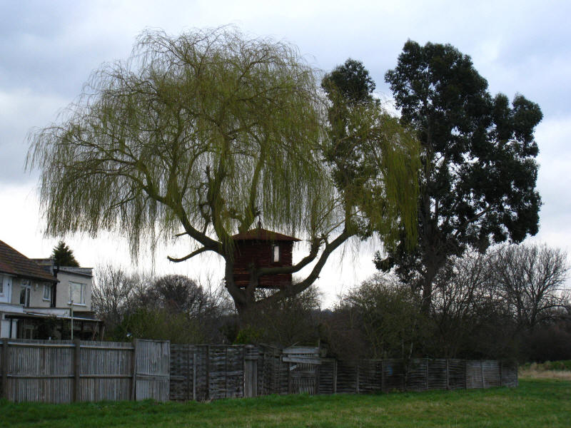
A tree-house catches the eye.
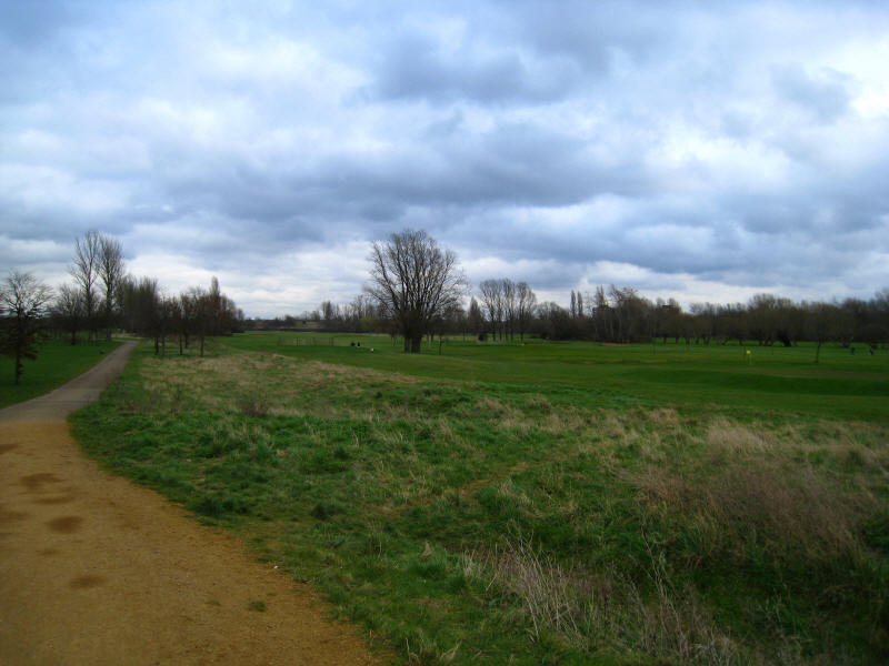
Perivale Golf Course

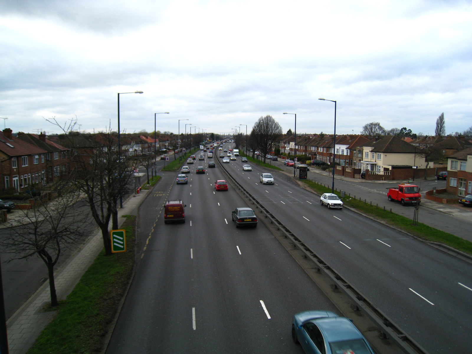
A crossing of the A40 is the only section of the walk where traffic really
intervenes in this walk. Indeed, George was on the lead only four times in 20
kilometres, which is remarkable for a London walk.

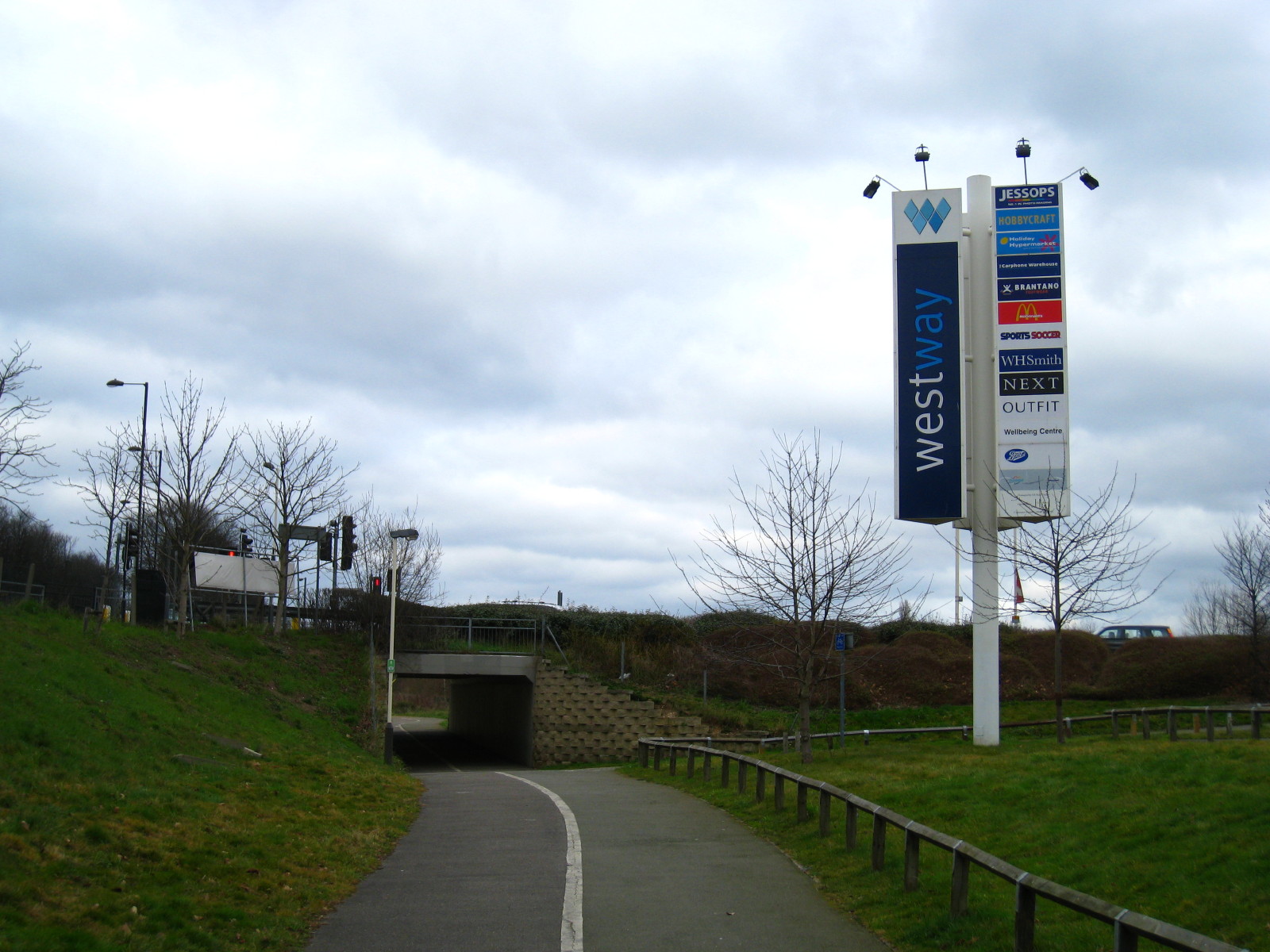
No time to stop for shopping today
We reach Paradise Fields wetlands, the start of stage 9 of the Capital Ring, and
only a short walk lies ahead to reach the canal again and the end of today's
walk.
Zoom in for more detail, or see map in larger window: Ordnance Survey |
Open Street Map |
Google Maps
Total distance: 20.0 km [including 6.9 km on the
Capital Ring] with 55 metres of ascent in
4 hours 10 minutes.
|