Lea Valley Walk - Wheathampstead to Hertford
9 March 2008
The Lea Valley Walk follows the River Lea from its source at Leagrave north of
Luton to the River Thames at Limehouse Basin. Over the years, I've walked quite
a bit of it, but with the gift of the revised edition guidebook to the walk from
Lucy for Christmas, I plan to do the whole thing in order this year. Today
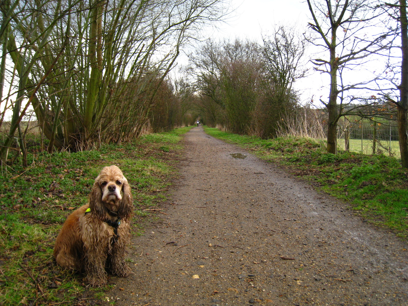
Stephen and George picked up where they'd left off in January in Wheathampstead.
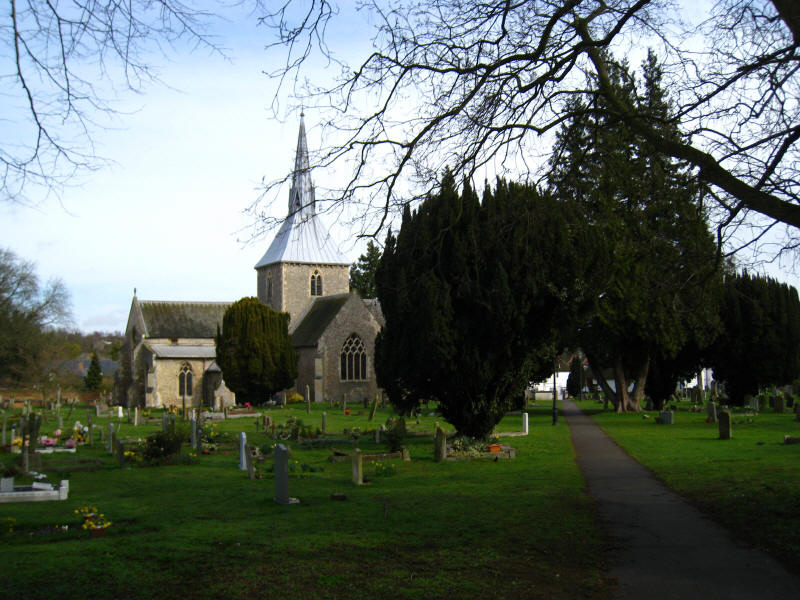
From the start of today's walk, the church at Wheathampstead: the unusual spire
was added in 1865.
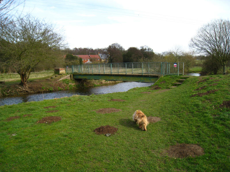
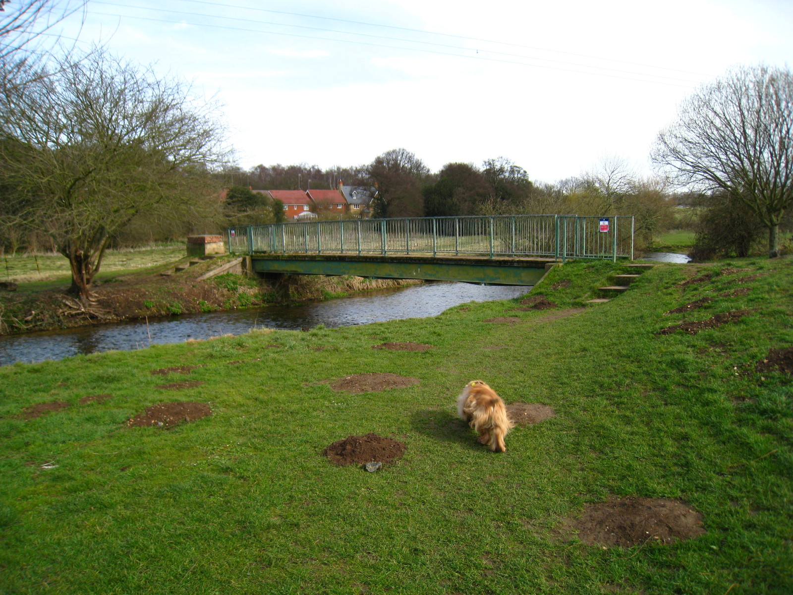
We emerge from the houses of Wheathampstead onto a grassy area and a bridge
which looks as though it has been here for a while but remains unmarked on the
Ordnance Survey maps. By comparison with the maps of many other countries, the
OS maps are excellent, but the more I use them the more errors I see.
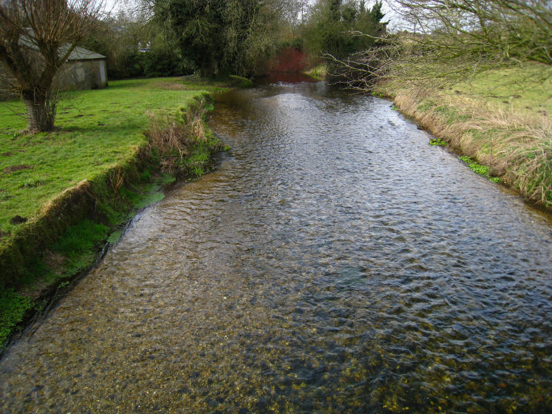
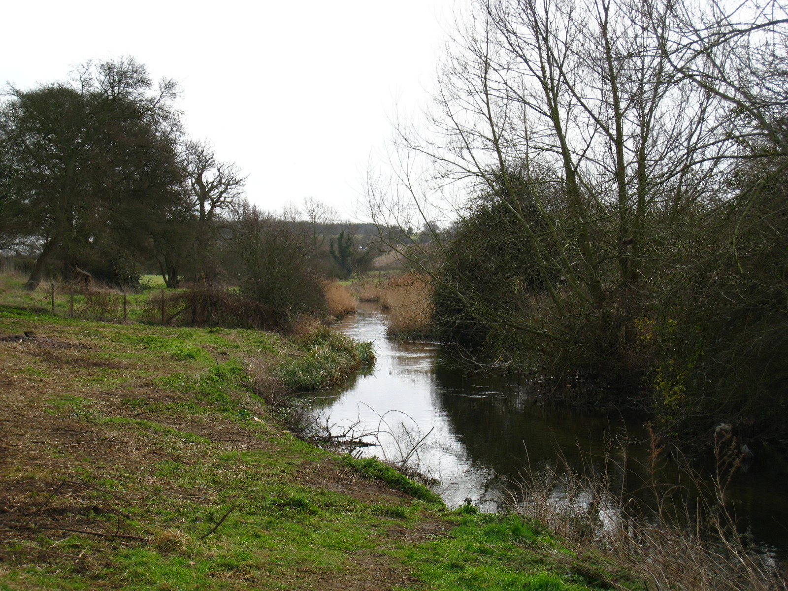
Looking down on the beautifully clear waters of the River Lea.

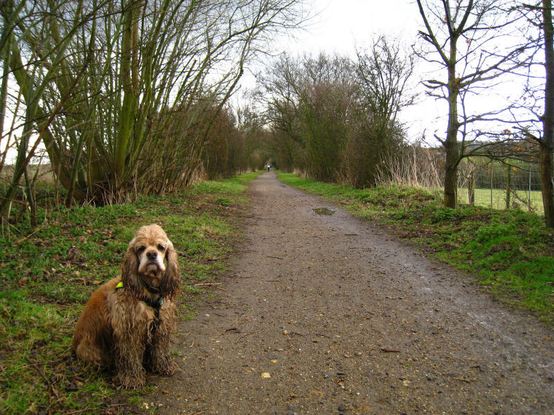
Continuing along an excellent footpath we look down on the Lea

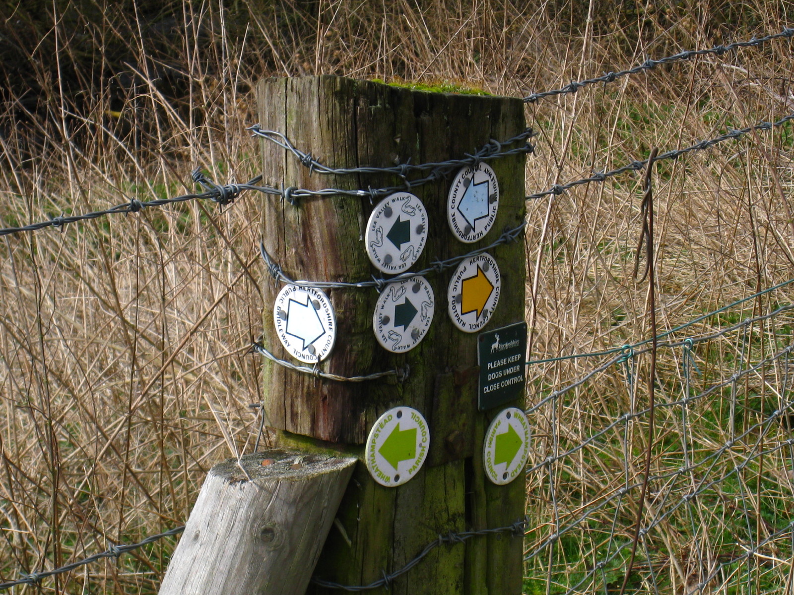
The routes here are thoroughly, even enthusiastically, marked. We are following
the swan markers of the Lea Valley Walk.
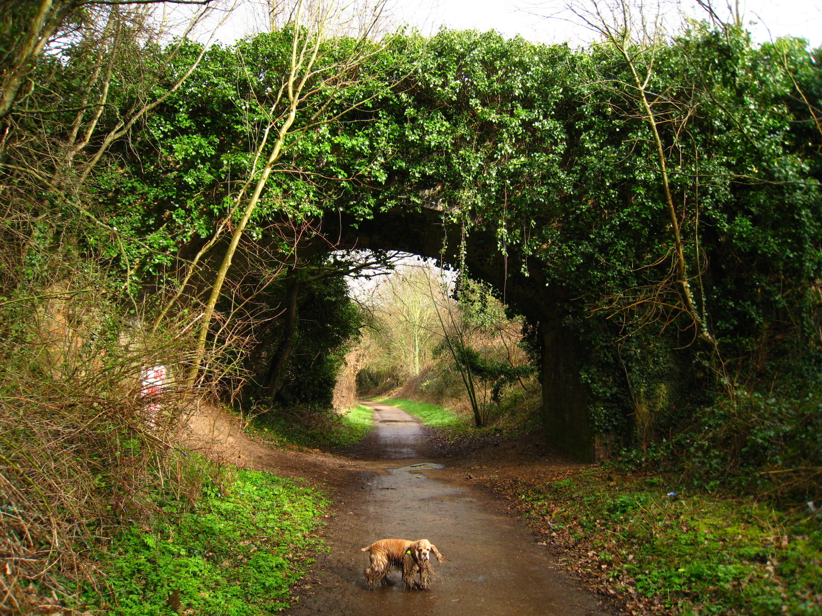
We ducked under the B653 Cory-Wright Way and continued along a pleasant and
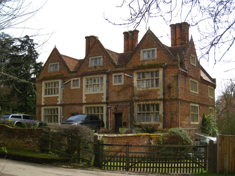
popular path following the river to here at Waterend. This house dates from 1610
and was where Sarah Jennings, Countess Marlborough, was born. She was a member
of Queen Anne's court and it is believed that the two played here as girls.
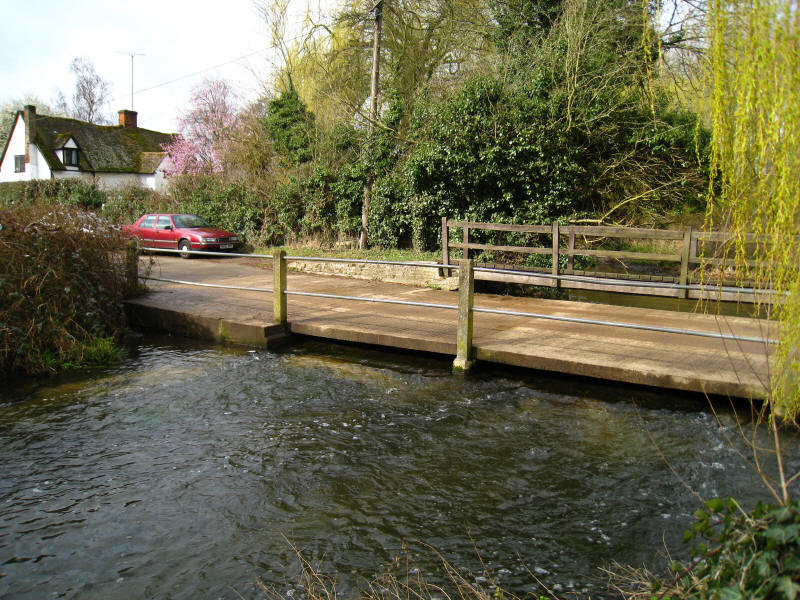
The ford (or Irish bridge) at Waterend, on the line of a Roman road from
Braughing to St Albans
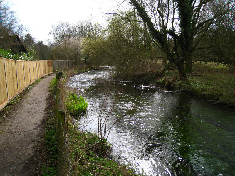
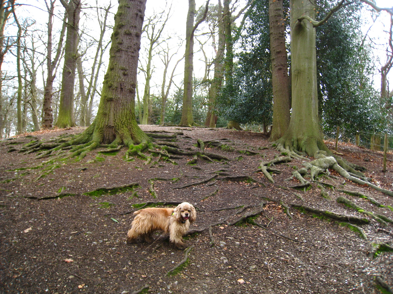
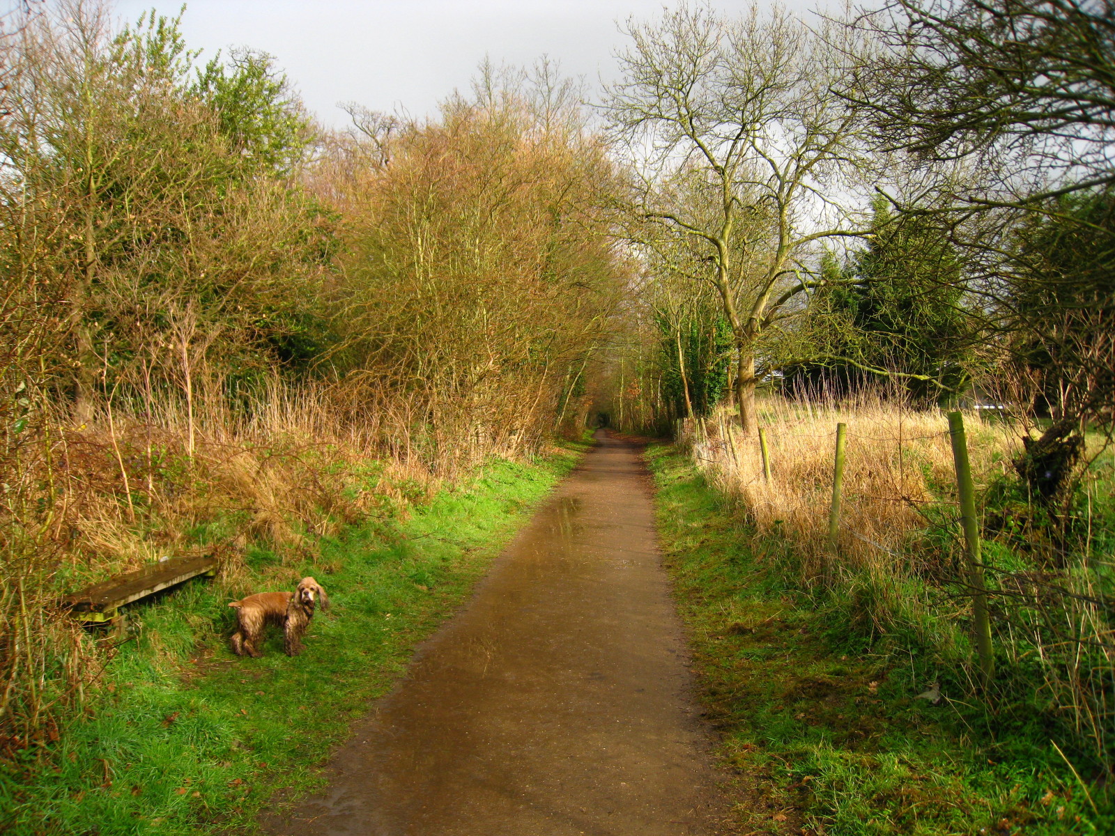
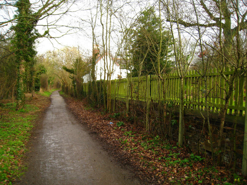
From here we continue following the river for a while
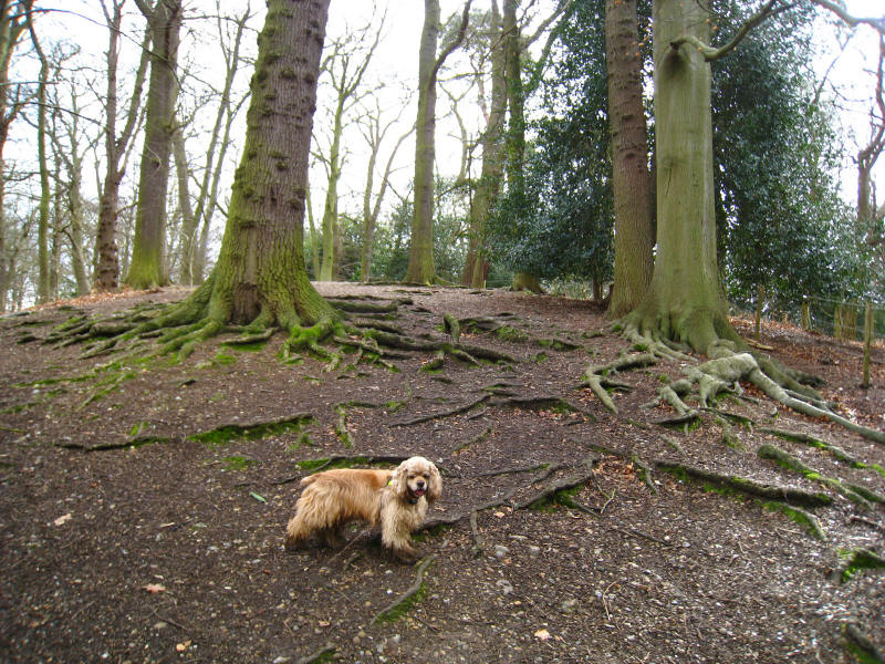
We then have a short climb through woodland...
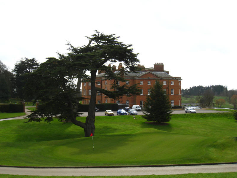
... emerging onto the golf course of Brocket Hall. This mansion was designed by
James Paine for the Lamb family and was completed in 1780. It was later the home
to Prime Minister Lord Melbourne, Prime Minister Lord Palmerston, Lord
Mountstephen (first president of the Canadian Pacific Railway), and three Lords
Brocket. It is now a hotel and conference centre.
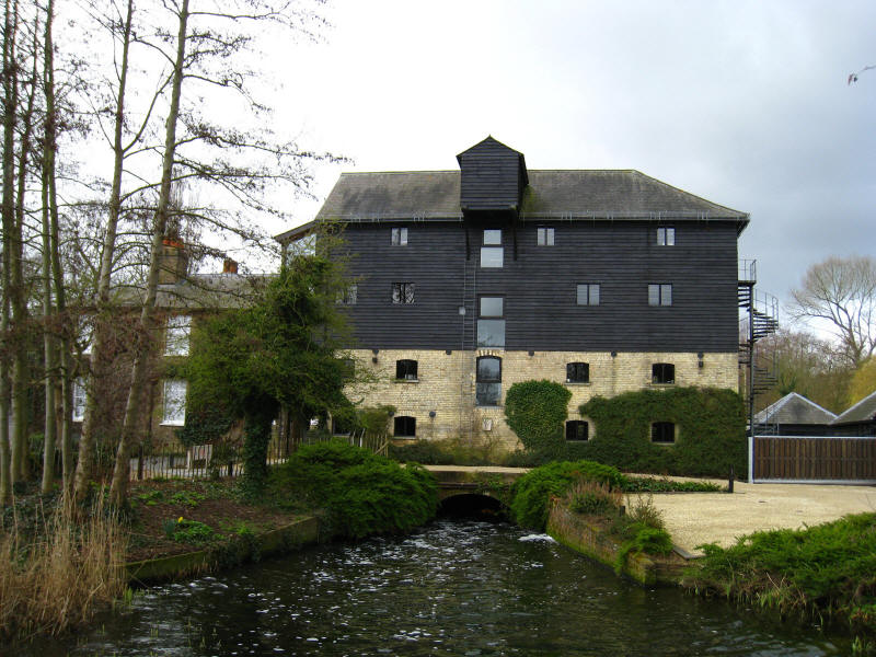
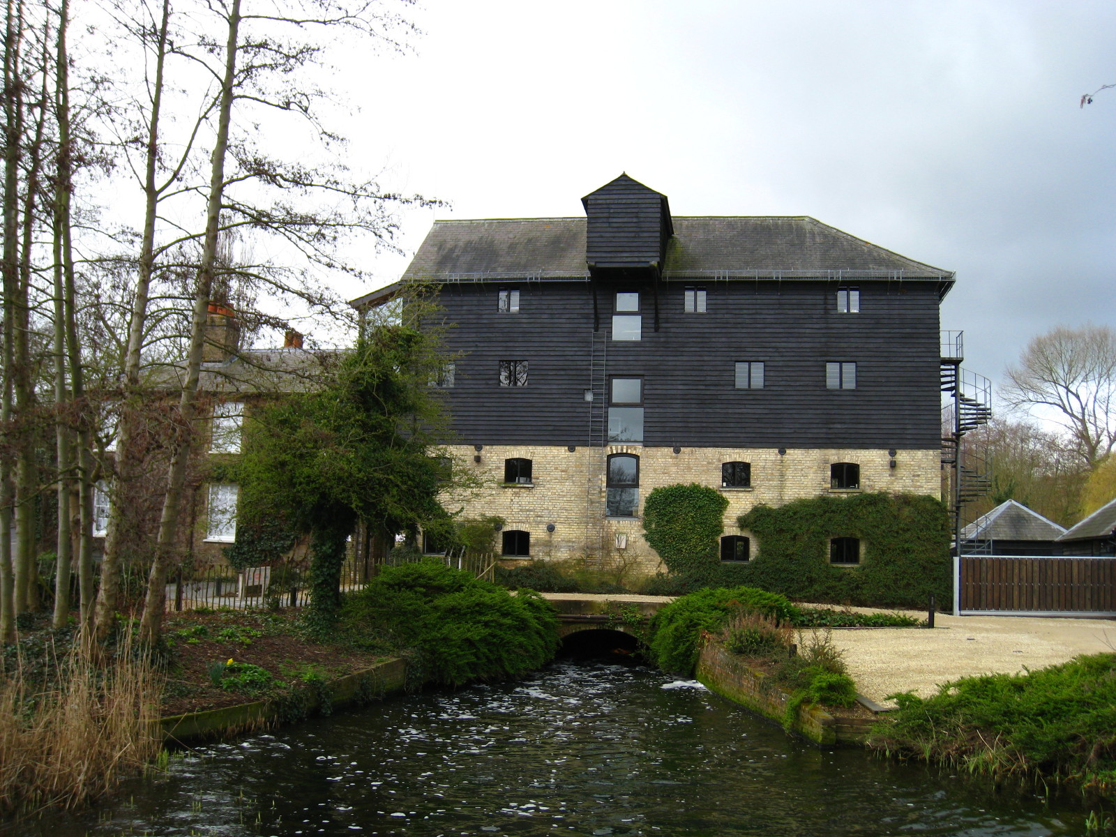
After the extended crossing of the golf course, we reach Lemsford. The mill
powered by the Lea was built in 1863. From here we cross fields with a series of
stiles before crossing the Great North Road.
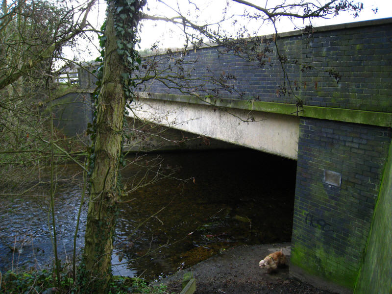
The new road to the north, however, is the A1(M), and we share the Lea's route
under the motorway. This is only passable when the river is low (it was just
lapping onto the path today) and headroom is limited to about 1.5 metres on the
far side (which is why the path can't be higher above water level). There is an
alternative wet-weather route following the B197 and B653.
Emerging from under the motorway we reach Stanborough Park. Rather spoiled by
the constant noise of the motorway (why is there no fencing to shield the area
from the road noise?) the park was opened in 1970 after being created from
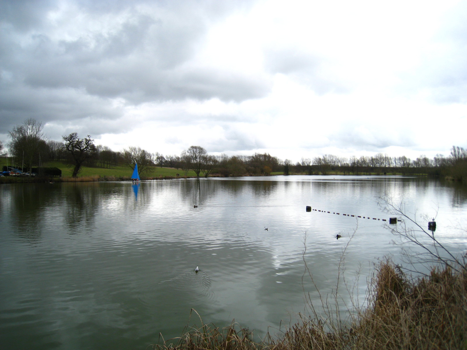
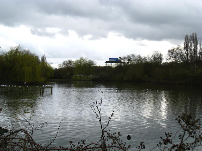
farmland. There are two lakes on either side of the road into Welwyn Garden City

Safely across the road we look across the rather quieter southern lake, which is
used for sailing. At the far end we gained some respite from the noise of the
A1(M), and stopped for first lunch, accompanied by the first rain of the day,
fortunately staying light and only lasting a few minutes.

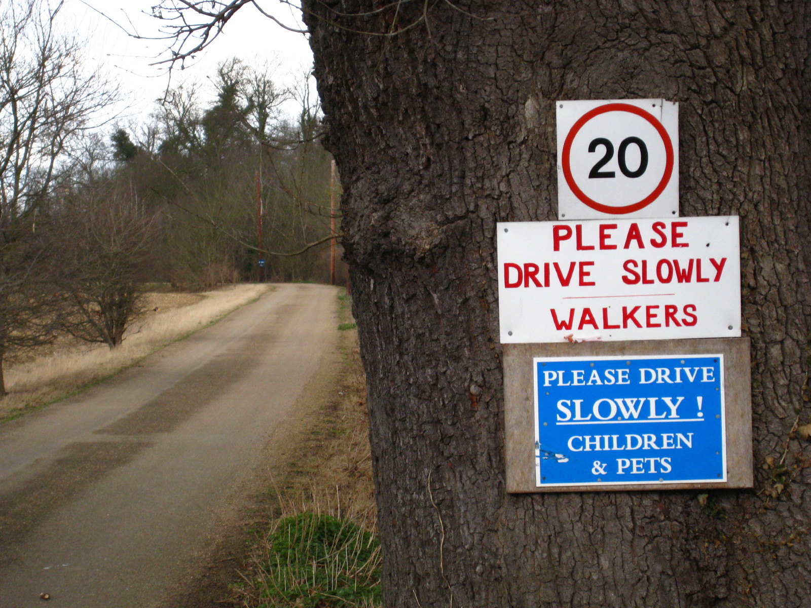
We pass under the East Coast Mainline Railway and cross farmland with signs
urging cautious driving before we reach the A1000.

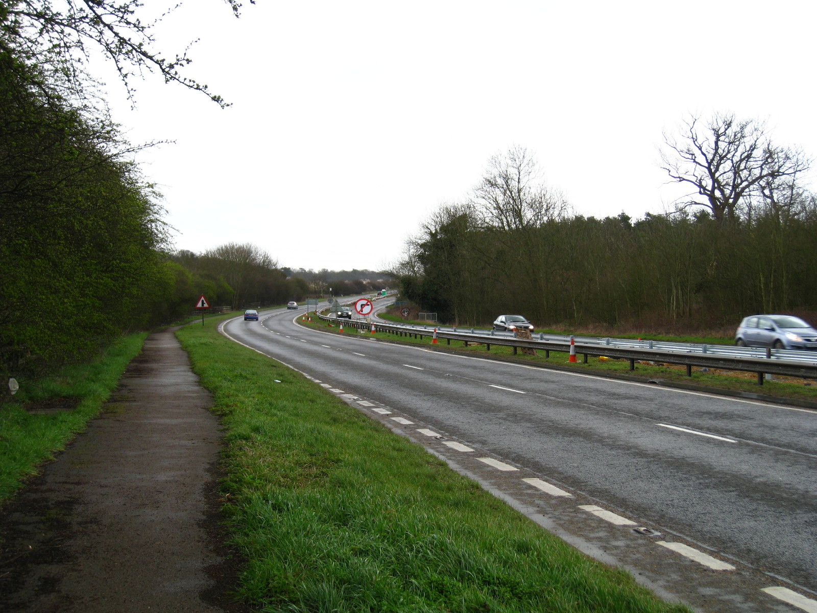
We then have a tedious kilometre along the A414. At the end of that kilometre
the Lea Valley Walk used to turn right, and it is a pleasant walk along the
river to Essendonbury Farm but from there the route across the land of Holywell
Court has had its permission withdrawn, something we
discovered on our
attempt to walk from Hertford to Waterend in 2004. As a result, the Lea
Valley Walk has been diverted and misses that pleasant section along the Lea,
instead turning left towards Welwyn Garden City.

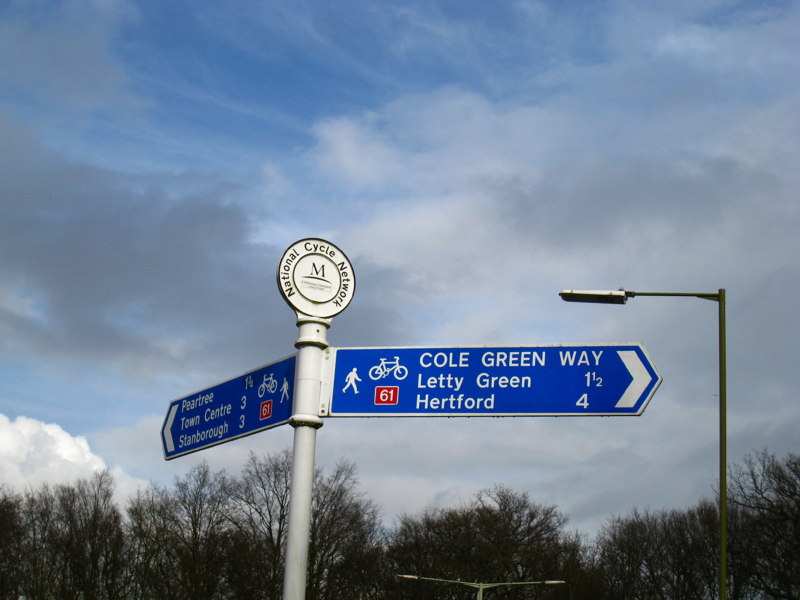
There then followed a hail storm, then 3½ tedious kilometres along the suburban
streets of Welwyn before we found this sign which showed we had reached the Cole
Green Way, a route opened in 1978 largely along the route of the railway from
Hertford to Welwyn

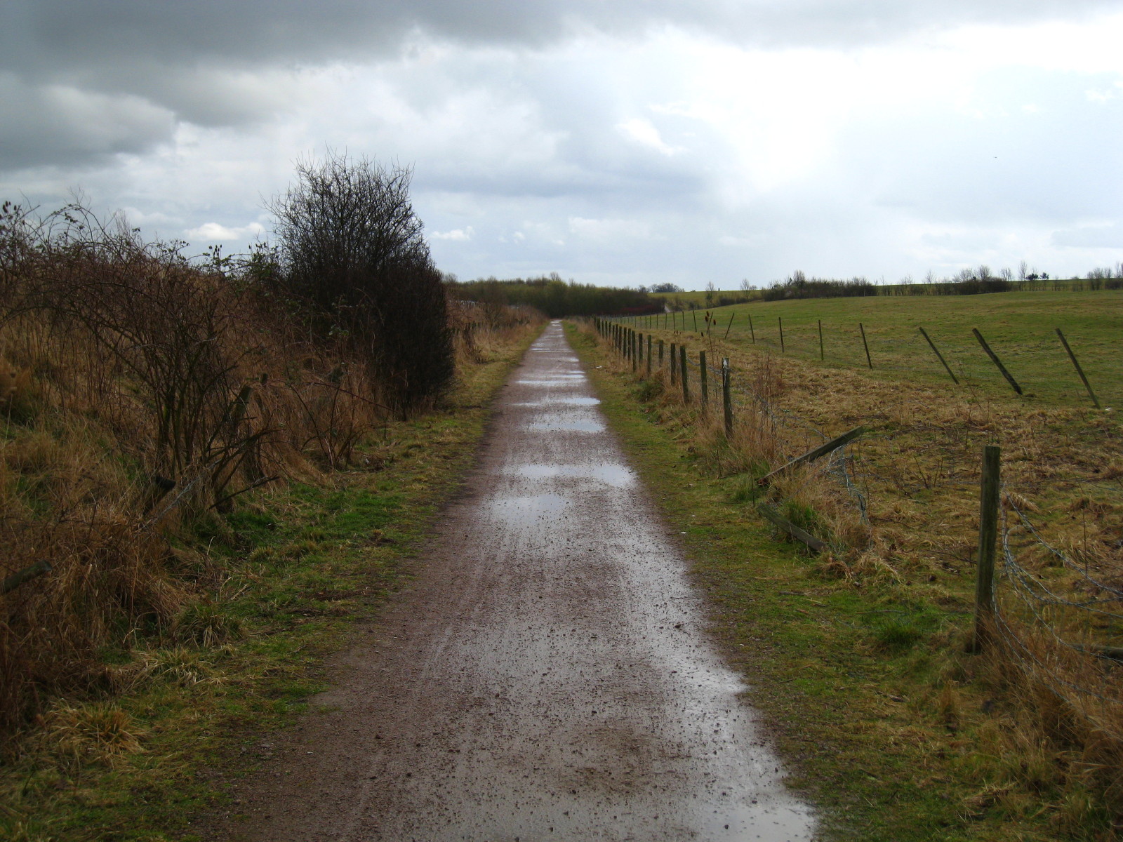
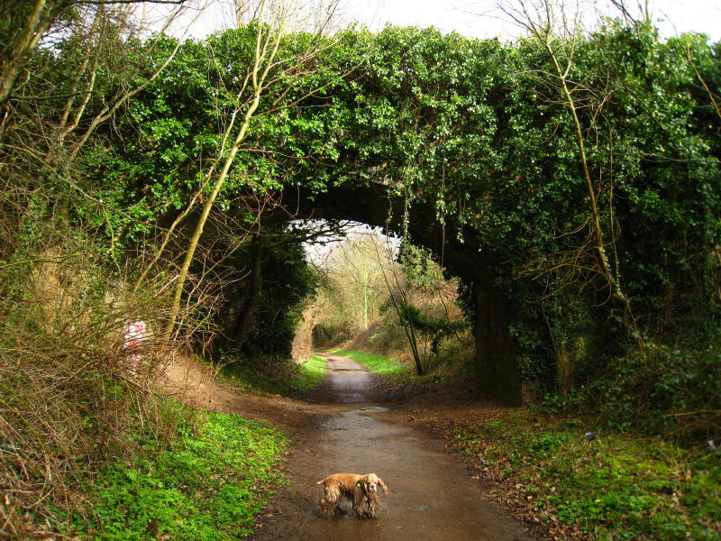
Walking the Cole Green Way

We crossed the A414, continuing along the trackbed on the east side, and now on
more familiar territory having rejoined the original route of the Lea Valley
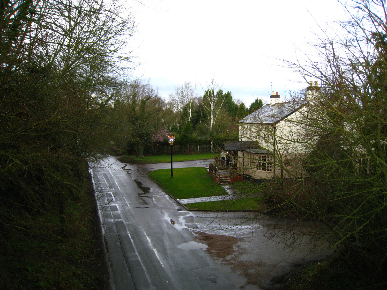
Walk that we followed in the other direction in 2004. Here we look down on the
Cowper Arms at Labby Green - once the Railway Hotel

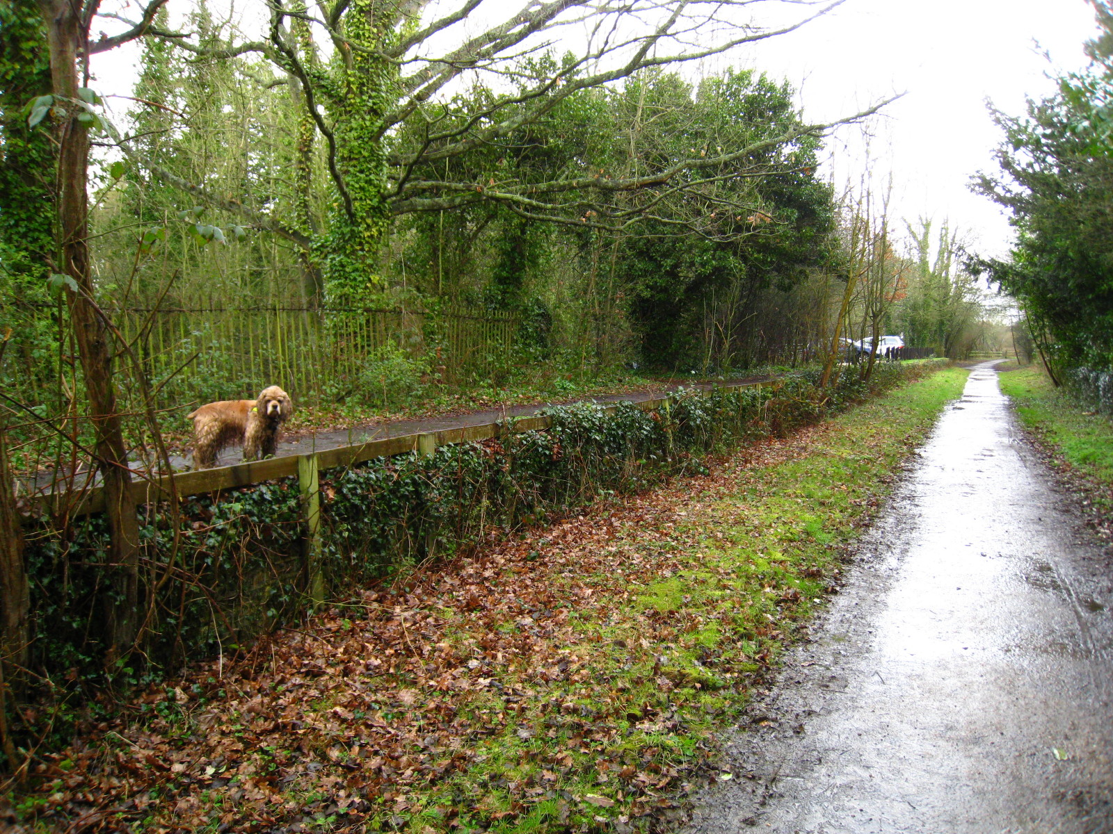
George stands on the former platform of Cole Green station
An increasingly muddy George as we continue to follow the trackbed towards
Hertford
The platform edge and station house of Hertingfordbury station

Getting close to Hertford now, and after more showers the sun has come out
A bridge over the railway - it used to carry the road leading to Hertingfordbury
Park
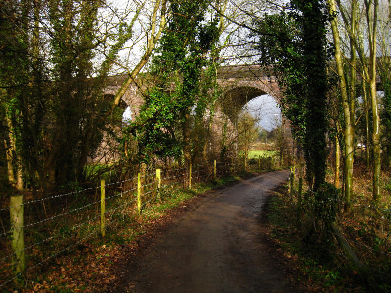
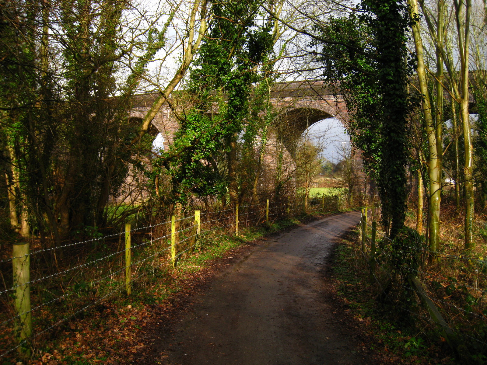
We finally leave the railway trackbed and follow a lane which takes us under the
impressive viaduct carrying the Hertford Loop line from Kings Cross to Stevenage
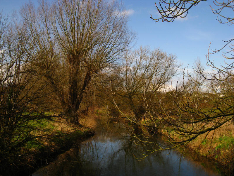
Crossing the Lea just before its waters are swelled by those of the River Mimram

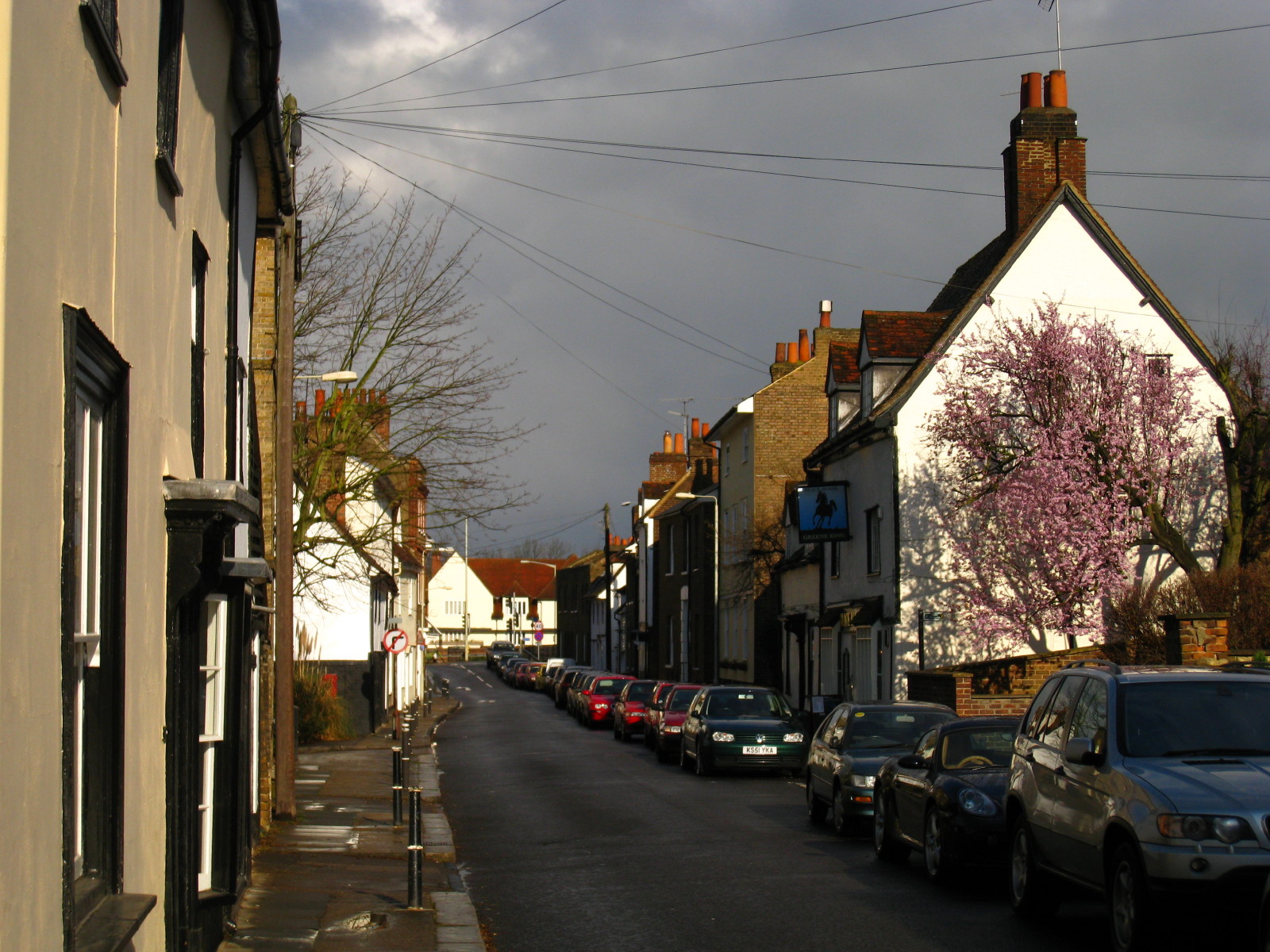
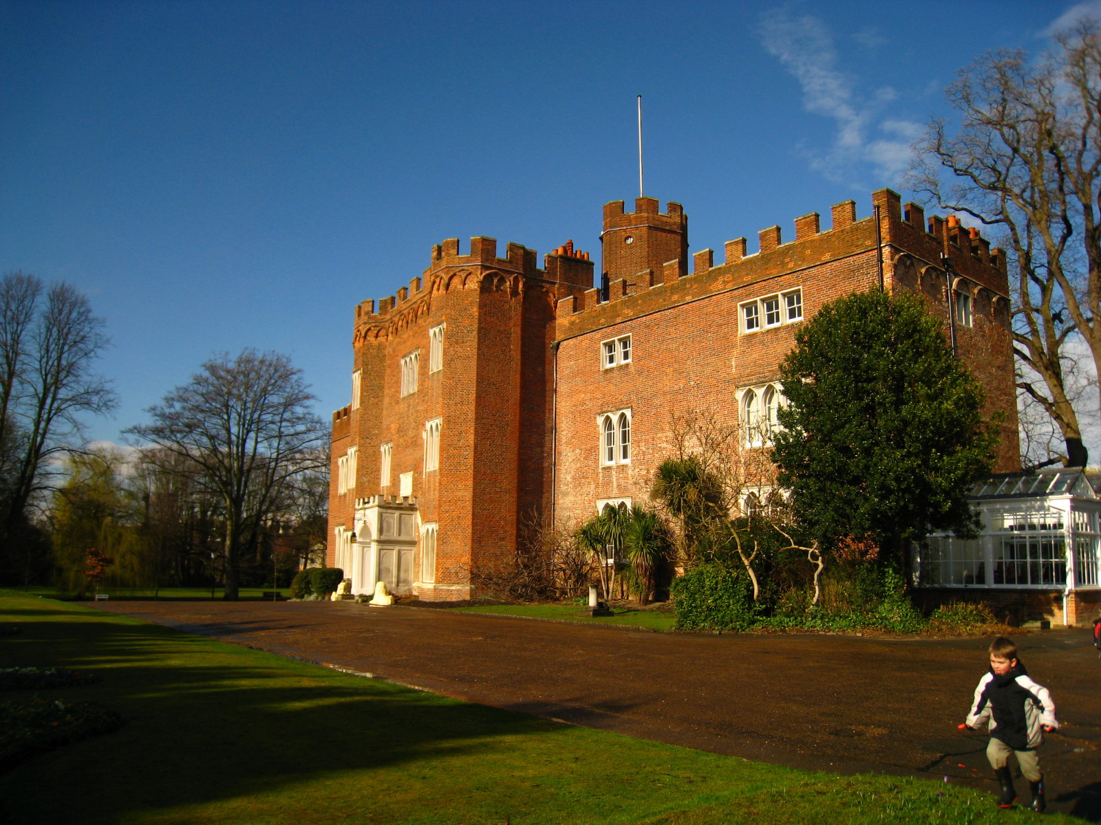
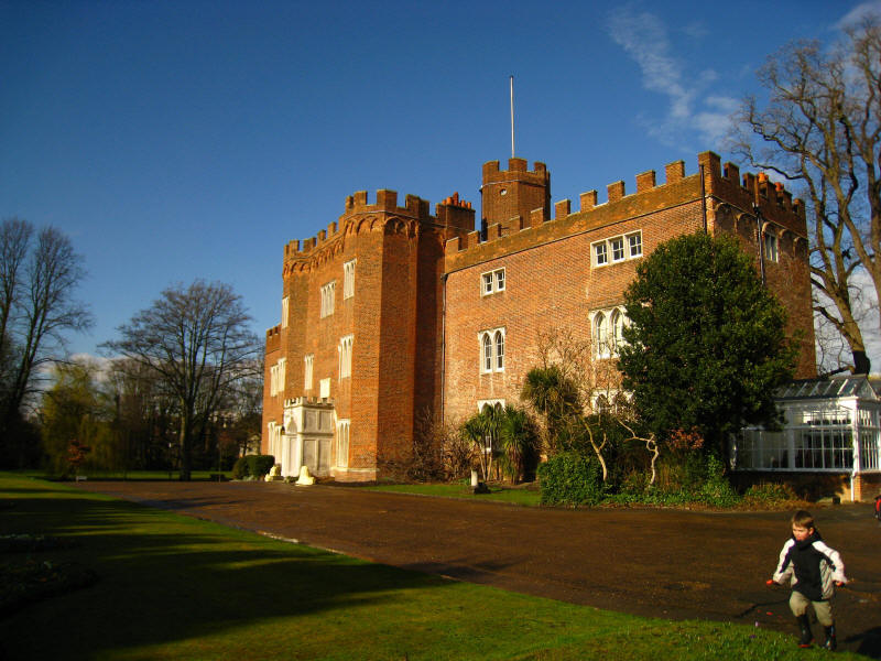
West Street leads us into Hertford. We cross the A414 again and walk into the
grounds of Hertford Castle.
The council buildings in the grounds of the castle.
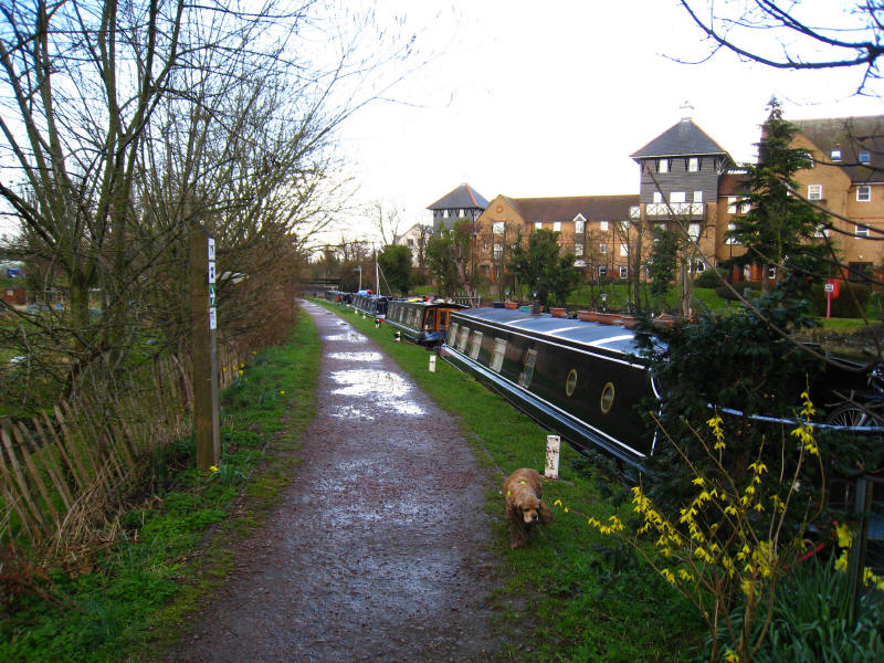
After negotiating the shopping streets of Hertford, we regain the River Lea, now
the River Lee Navigation complete with narrowboats. The character has changed
and this is very much the beginning of the second half of the walk, and not just
in a mathematical sense.
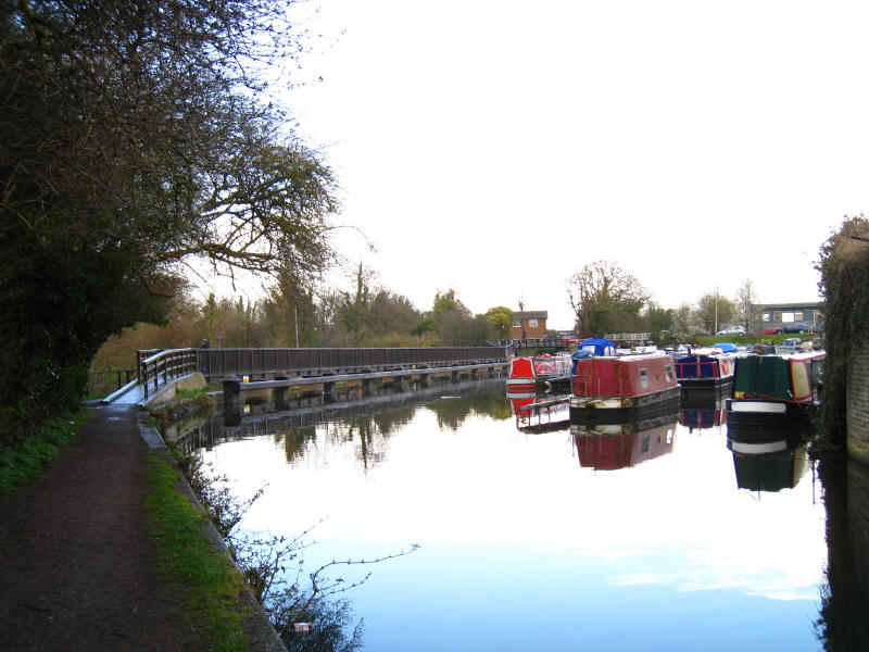
The towpath crosses a long bridge above the weir, at the other end of which our
lift awaits. A walk of a very different character awaits us next time.
Zoom in for more detail, or see map in larger window: Ordnance Survey |
Open Street Map |
Google Maps
Total 21.8 km, 145 metres of ascent, in 4 hours 28 mins.
Continue the Lea Valley Walk towards
Ponders End...
|