London Loop Walk 5:
Erith to Bexley
5 March 2006
Today Stephen did the fifth of his London Loop walks, again with Henry for company. We set off from the official start
of the LOOP at Erith, and travelled along the rivers Thames, Darent and Cray to
Bexley.
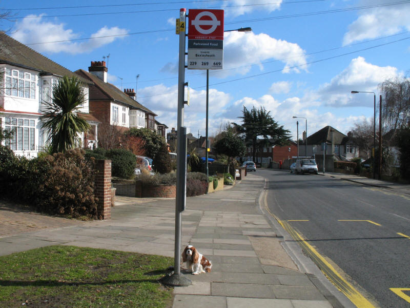
Henry waits for his bus to Erith. Don't forget to stick out a paw - it's a
request stop!
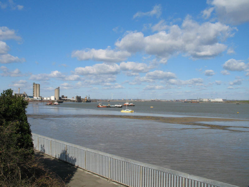
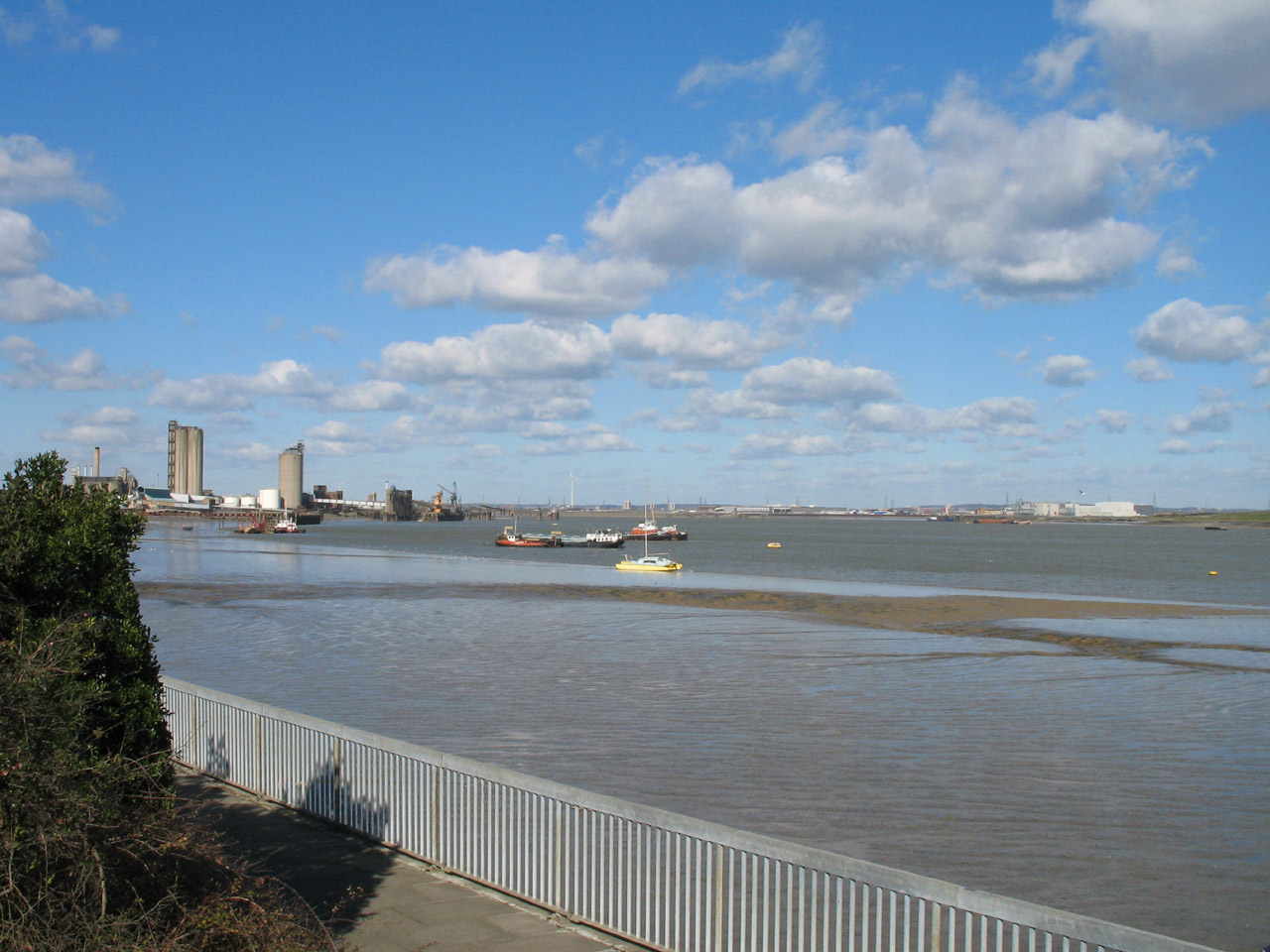
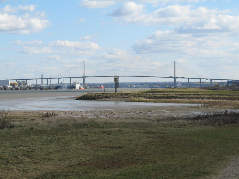
On arrival at Erith, a short walk takes us to the Thames: a view upstream. For
the next few kilometres, our route is also shared with the Thames Path
Extension, a continuation of the Thames
Path from the Barrier to Crayford Ness.

And straight across is Coldharbour Point, where we were last weekend, and the
current end of the LOOP.
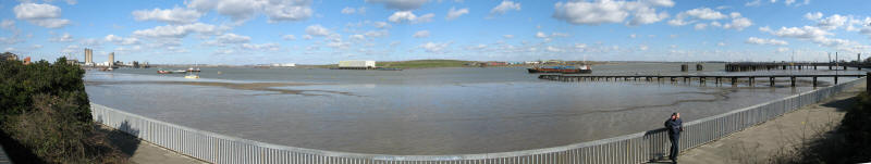
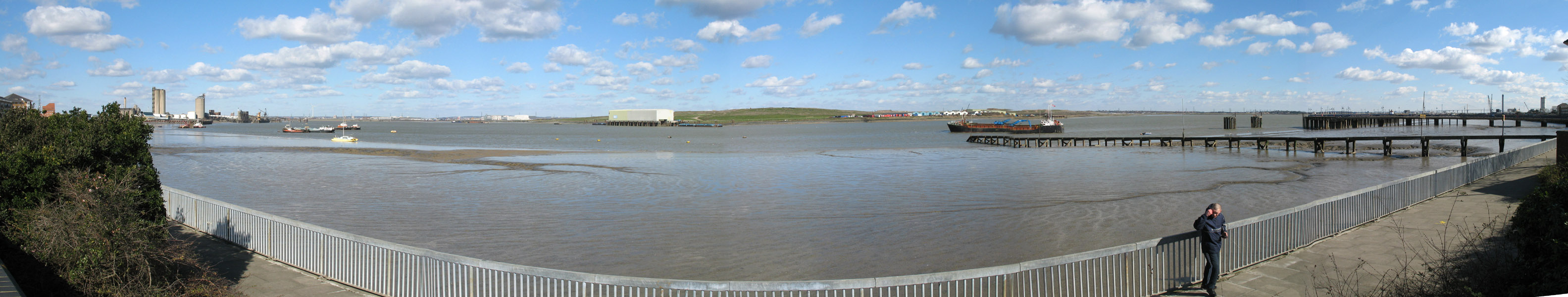
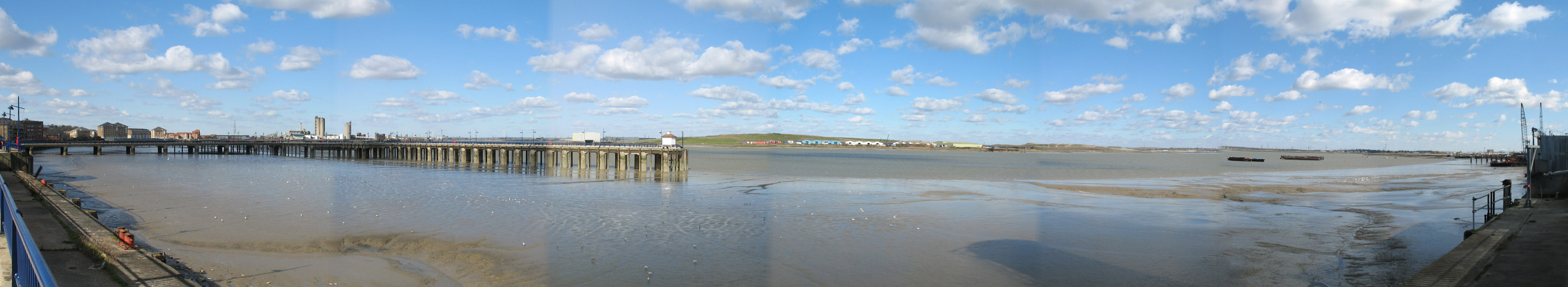
A panoramic view from the same point

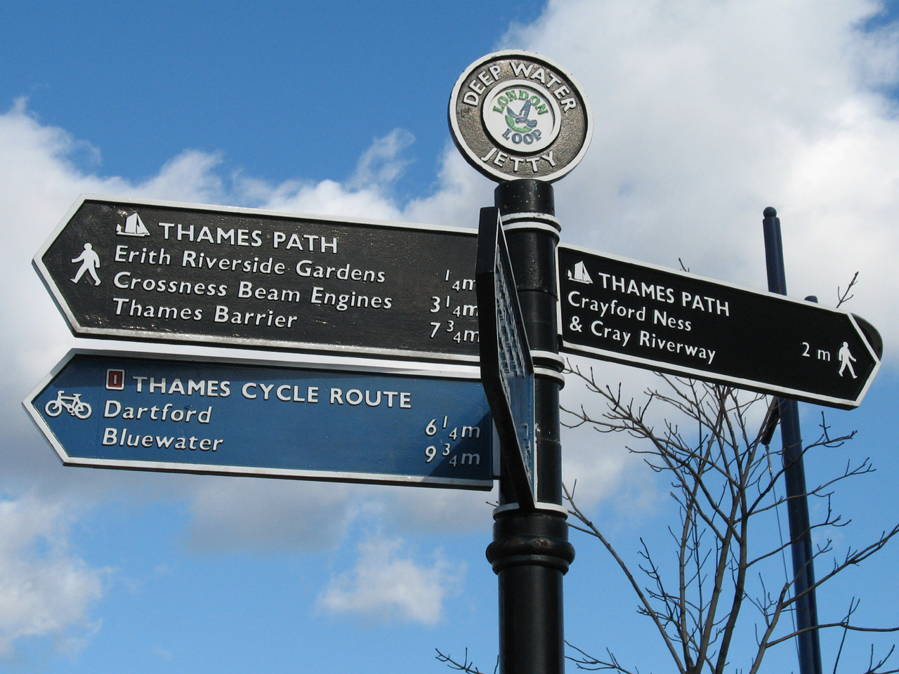
An impressive signpost, with the London Loop logo at the top. Not much use, however - it points upstream to the Thames
Barrier (which is right) and upstream to Dartford and Bluewater (which
definitely isn't).
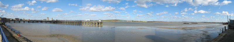
And a panoramic photo showing that Deep Water Jetty, effectively Erith's pier.
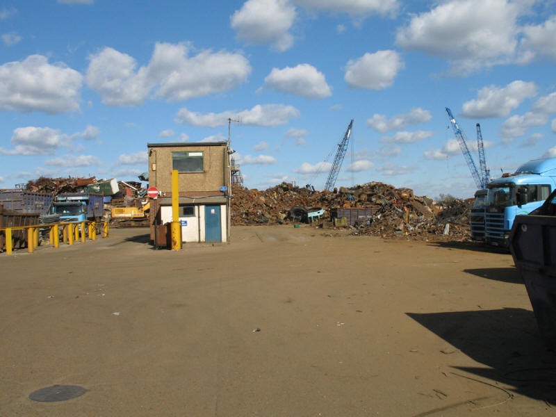
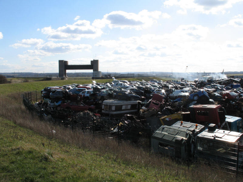
This side of the Thames has as much industry as the north bank

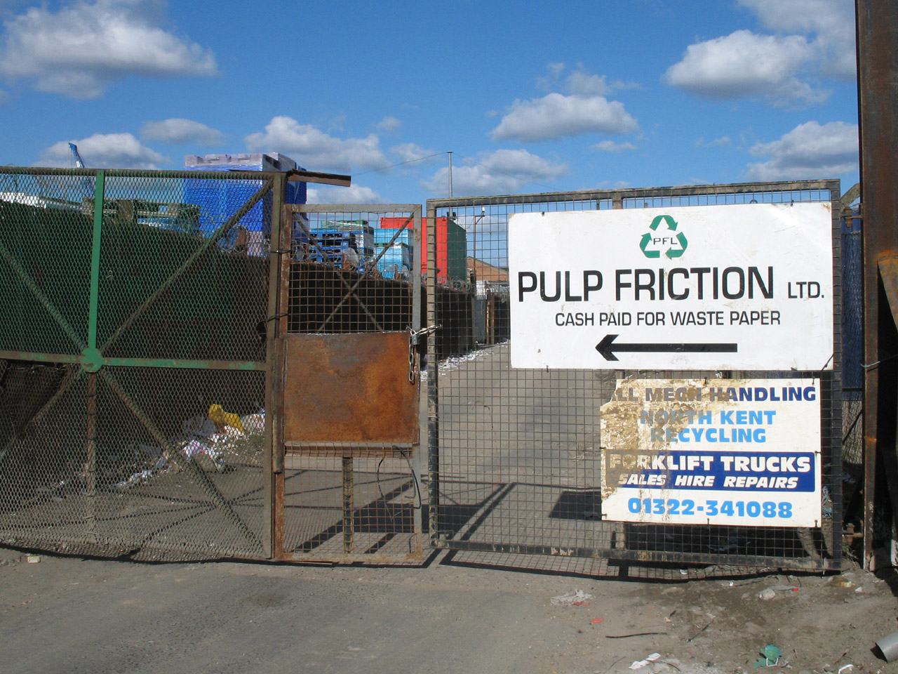
This sign rather appealed to me!
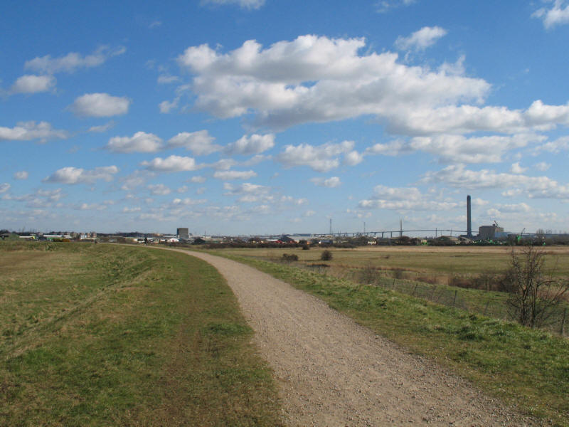
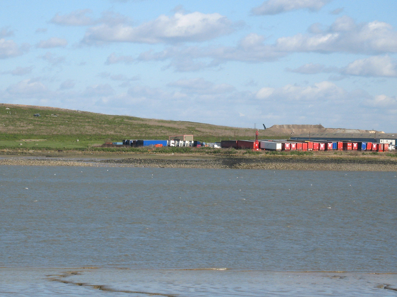
Once past the industry, the LOOP route returns to the bank of the Thames, with
The Queen Elizabeth II Bridge gradually drawing closer
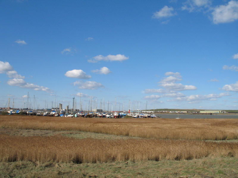
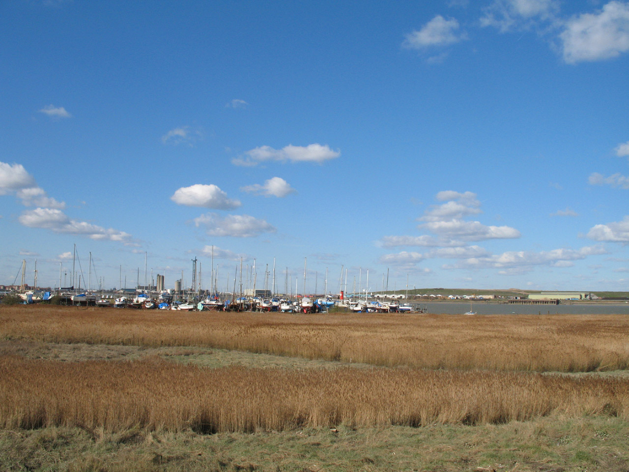
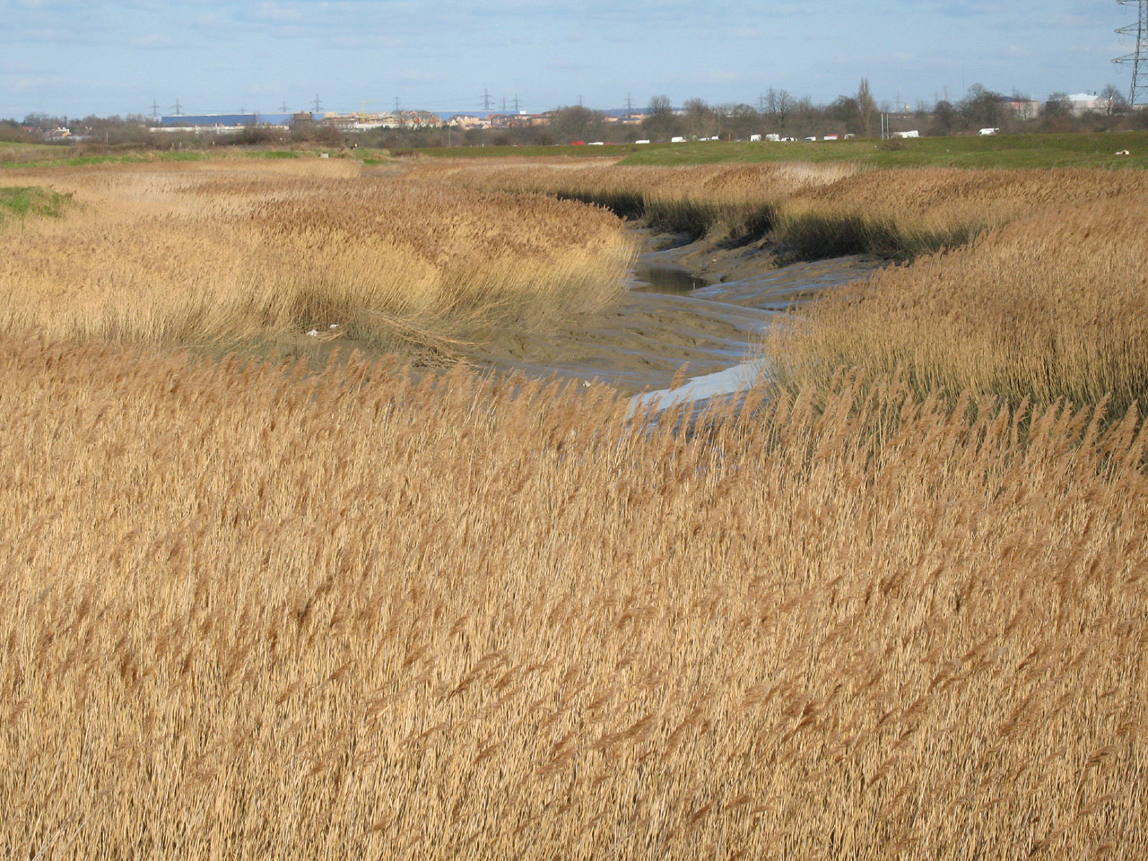
A small marina across the reeds of the Thames
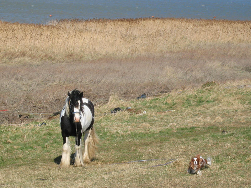
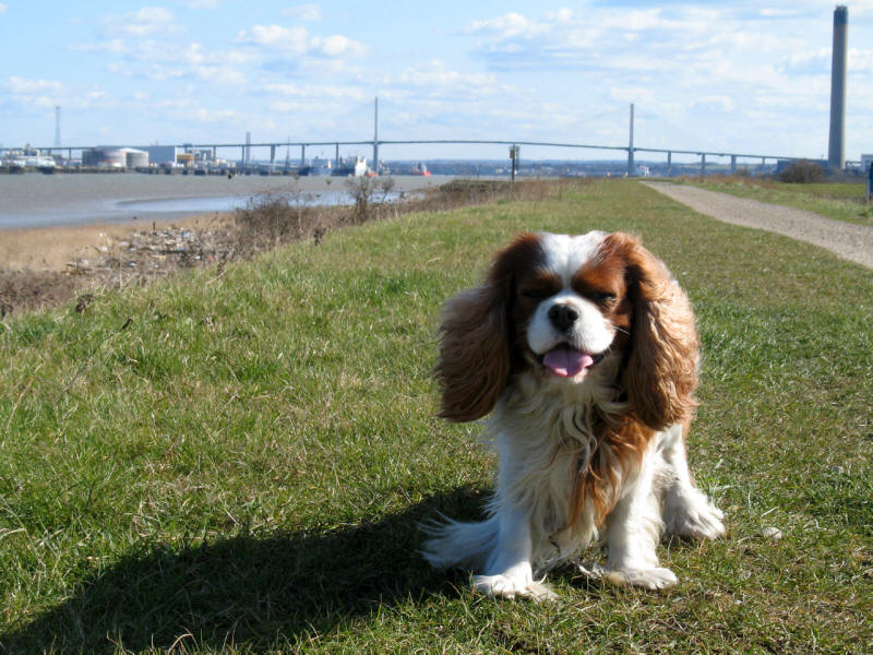
Henry goes to say hello to one of the horses tethered along the banks of the
river
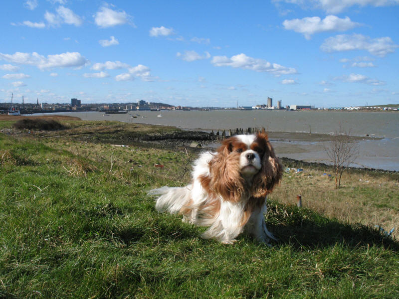
Looking upstream back to Erith

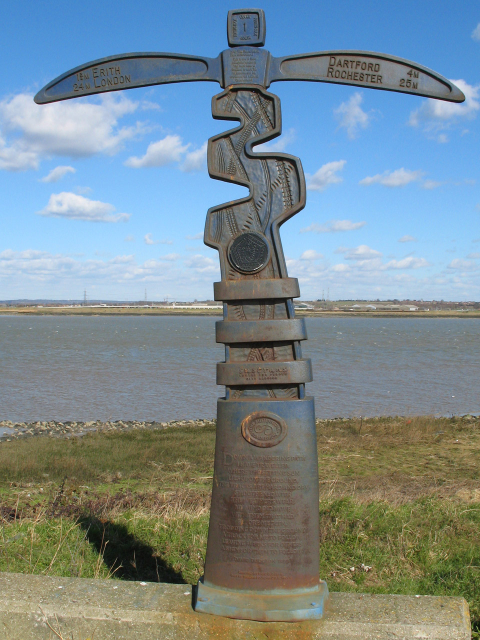
The path here is also Route 1 of the National Cycle Network, as this
commemorative signpost from 2000 points out. We know Route 1 already as it
follows the length of the River Lee Navigation towpath, and in totality runs
from Dover to Unst in the Shetland Isles. The base reads as follows:
Down a wandering path
I have travelled,
Where the setting sun
Lies upon the ground.
The tracks are hard and dry
Smothered with
The weather's wear,
My mind did move
With them that had
Before me seen,
Trodding down the ground
A track for me to follow,
Leaving marks for others
A sign for them to follow.
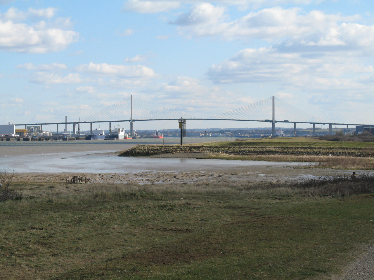
Henry and The QEII Bridge, with the chimney of Dartford power station
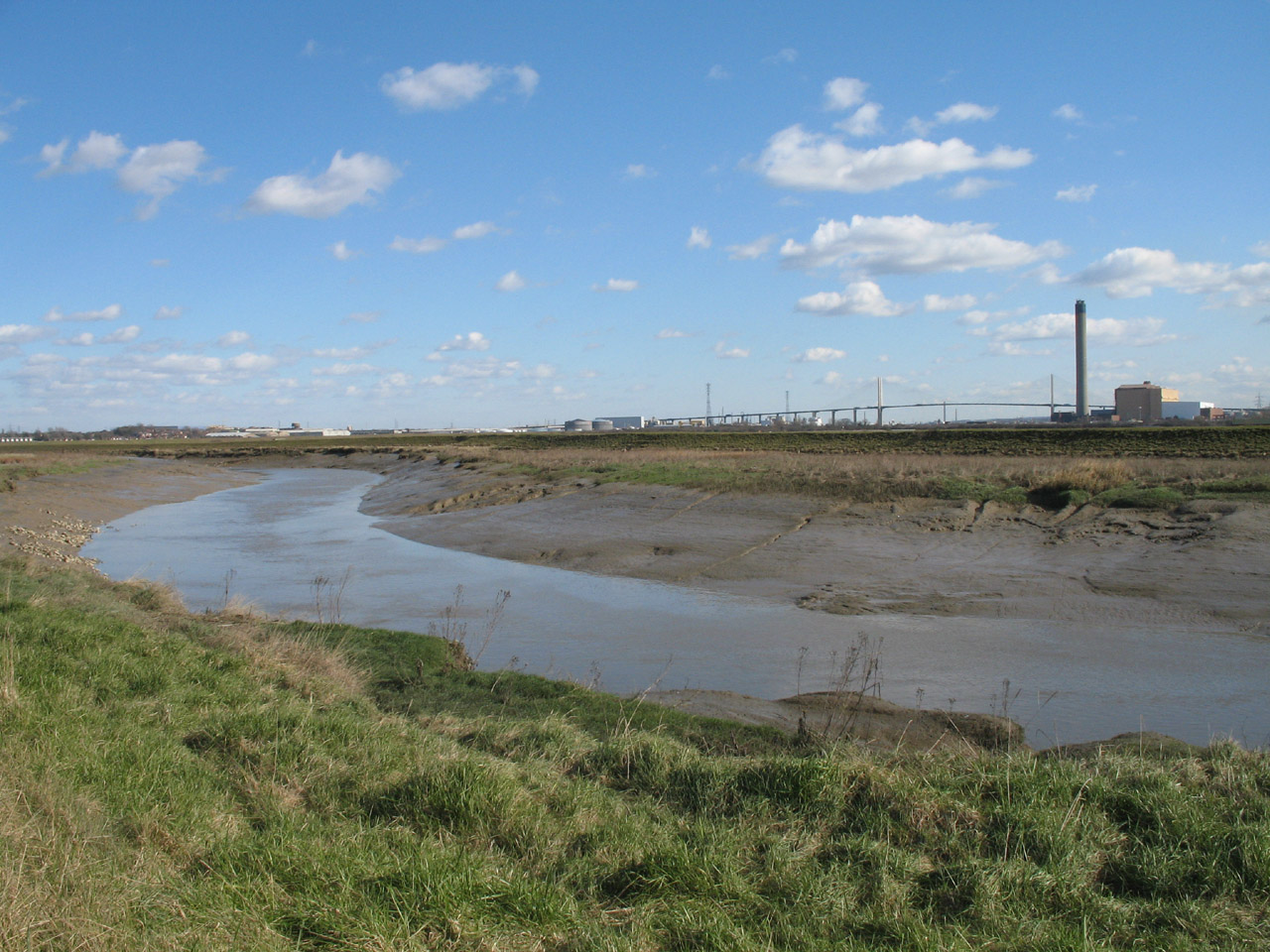
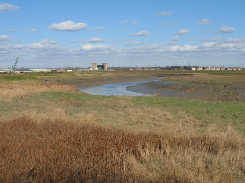
More industry lies behind the flood bank as we look towards the Darent flood
barrier
The mouth of the River Darent, at this point known also as Dartford Creek. This
is the end of the Thames Path Extension,
at the end of
the 310km walk from Thames Head.
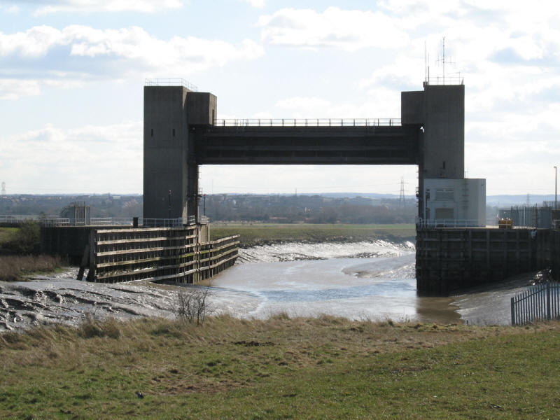
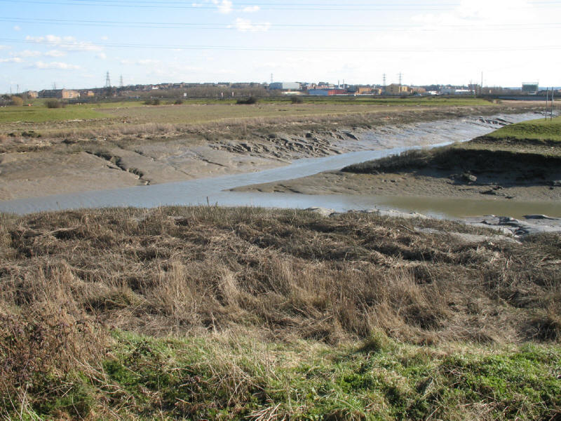
A close up of the flood barrier, with echoes of Tower Bridge, though the ability
to cross the river by the elevated walkway has been neglected here.

Dartford Creek and The QEII Bridge
Looking back towards the flood barrier
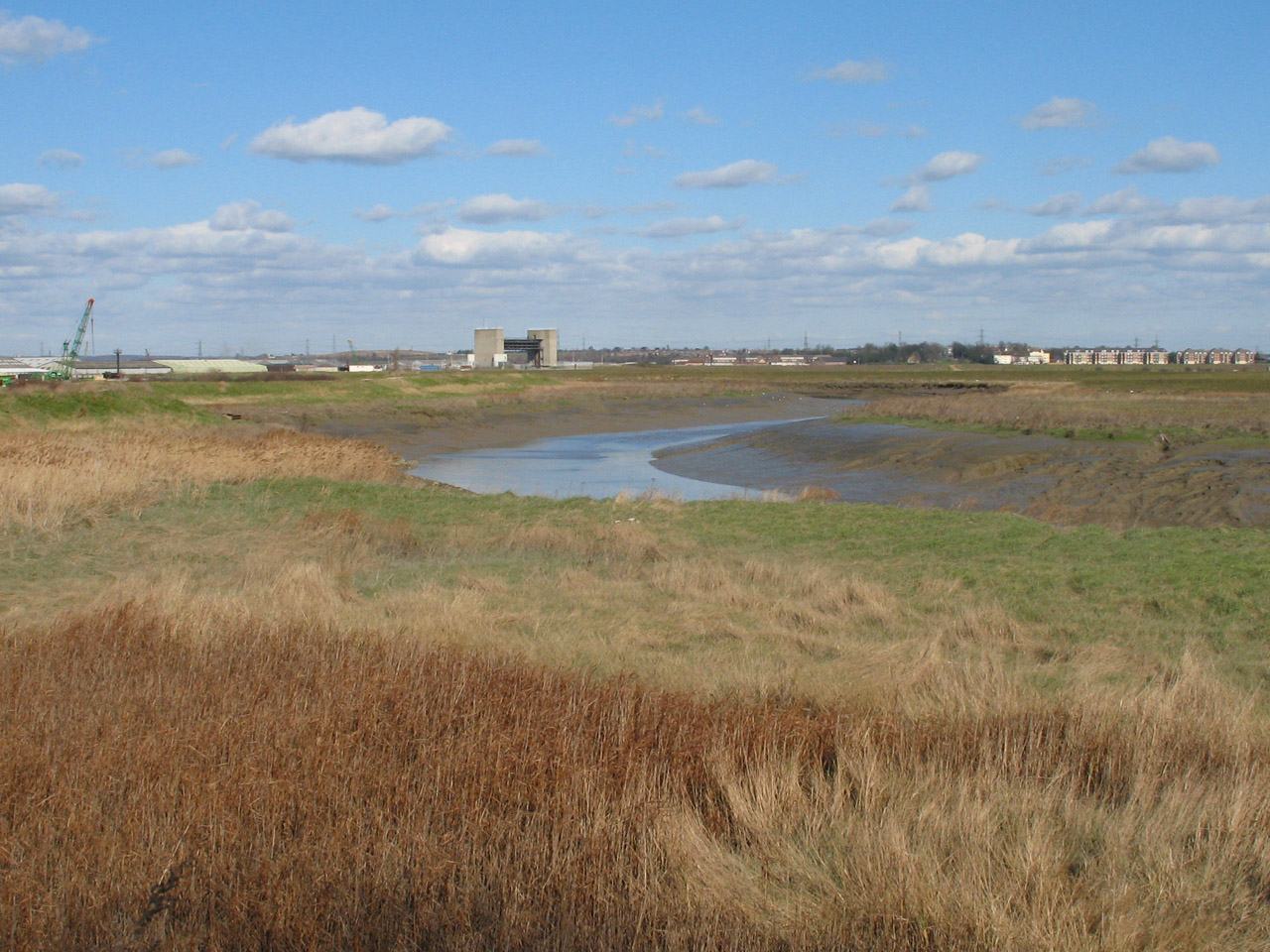
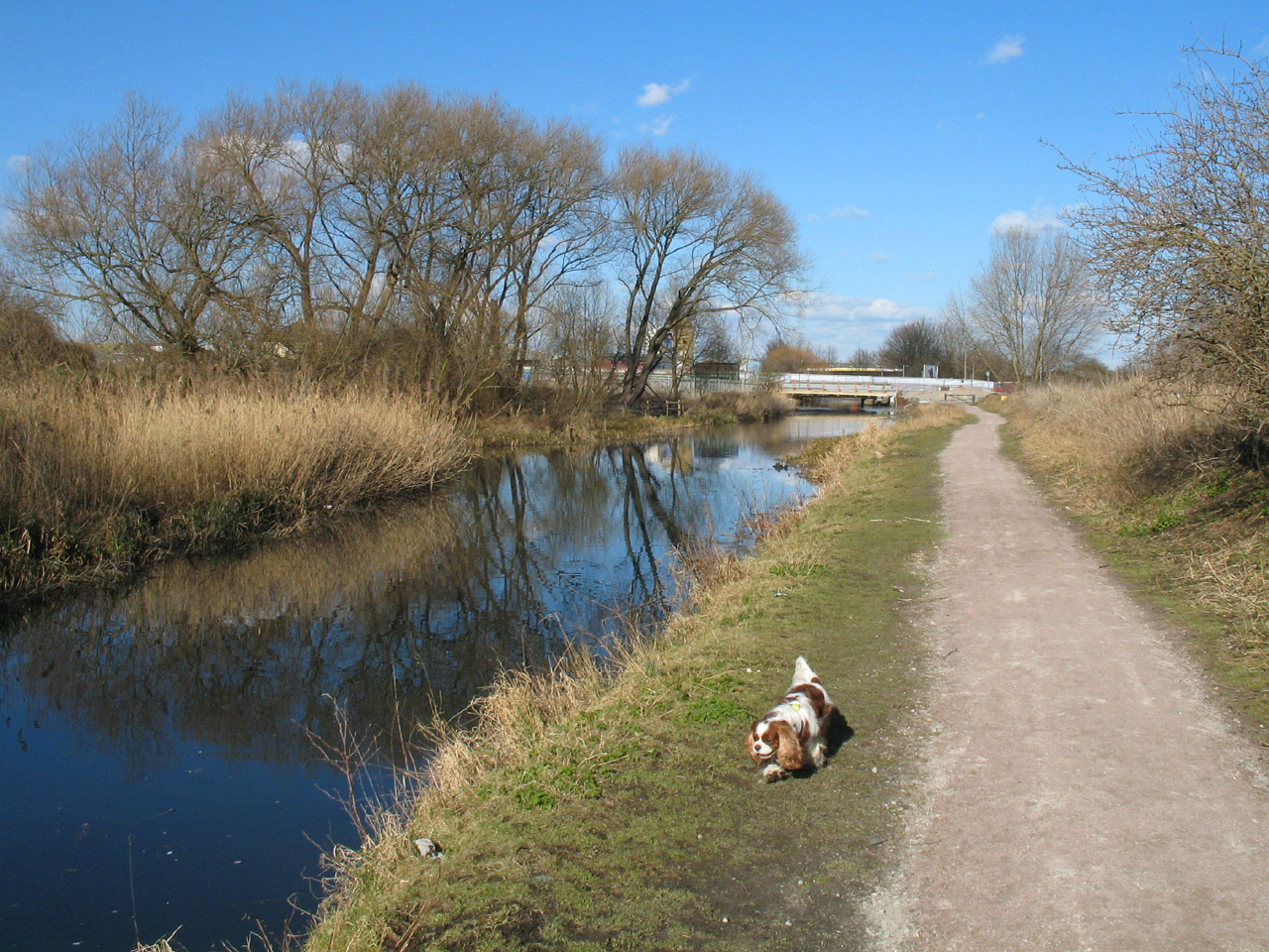
We leave the River Darent here to follow the River Cray for the rest of the walk
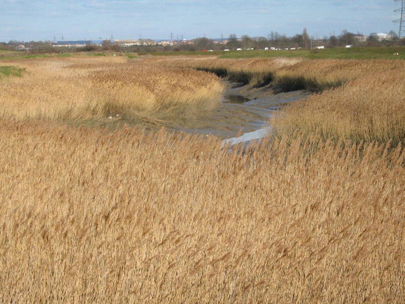
Looking down the River Cray

Having crossed the A206, we find the River Cray again, now non-tidal.
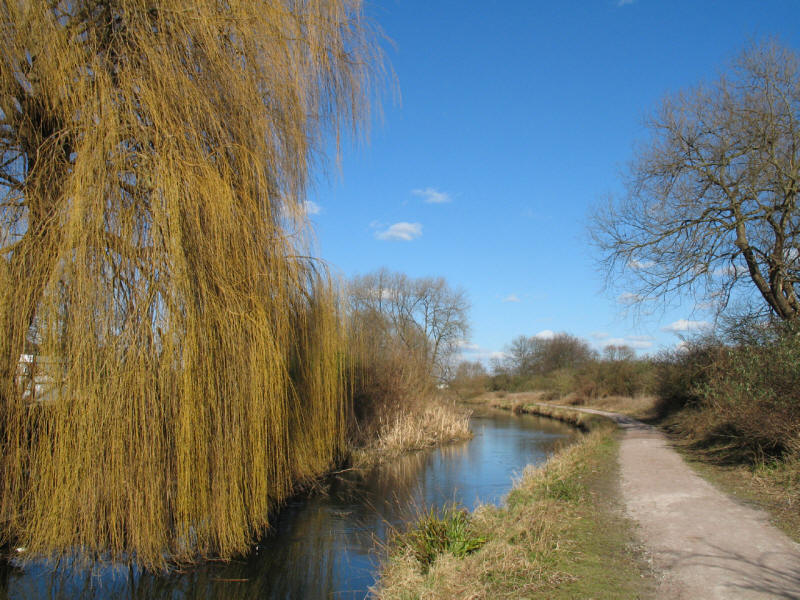
It is quite remarkable how its character has changed.
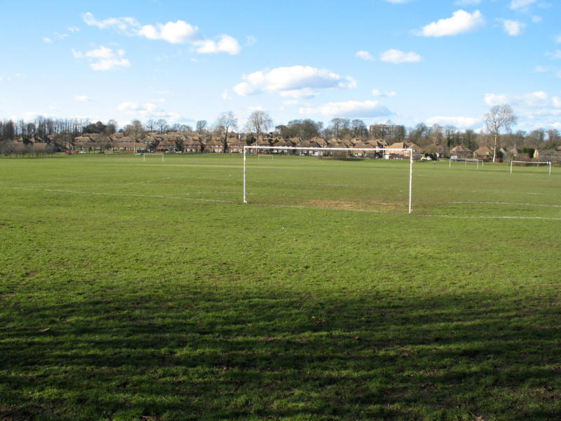
Playing fields on the western edge of Crayford
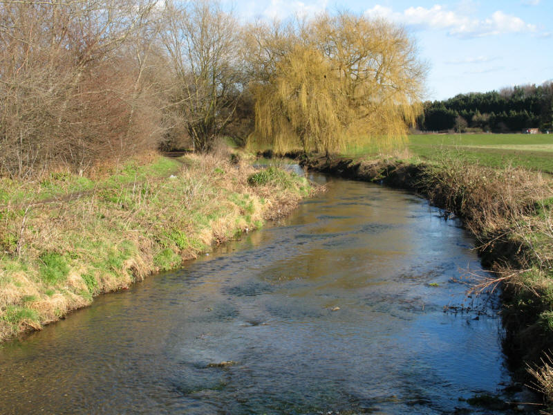
And we find the River Cray again as we approach Hall Place, becoming even more
pleasant and natural as it wends its way between playing fields.
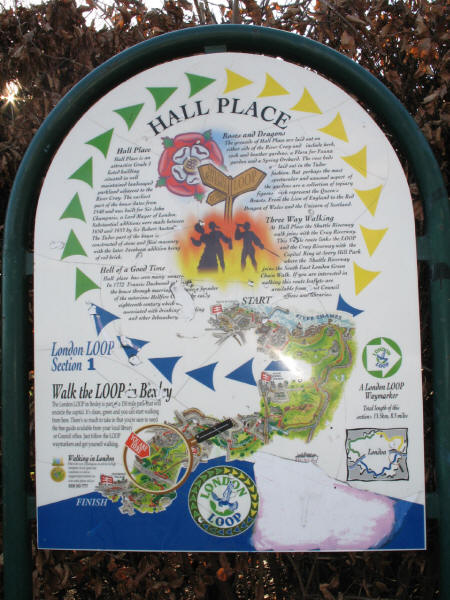
The first of the London Loop interpretation boards we have seen.
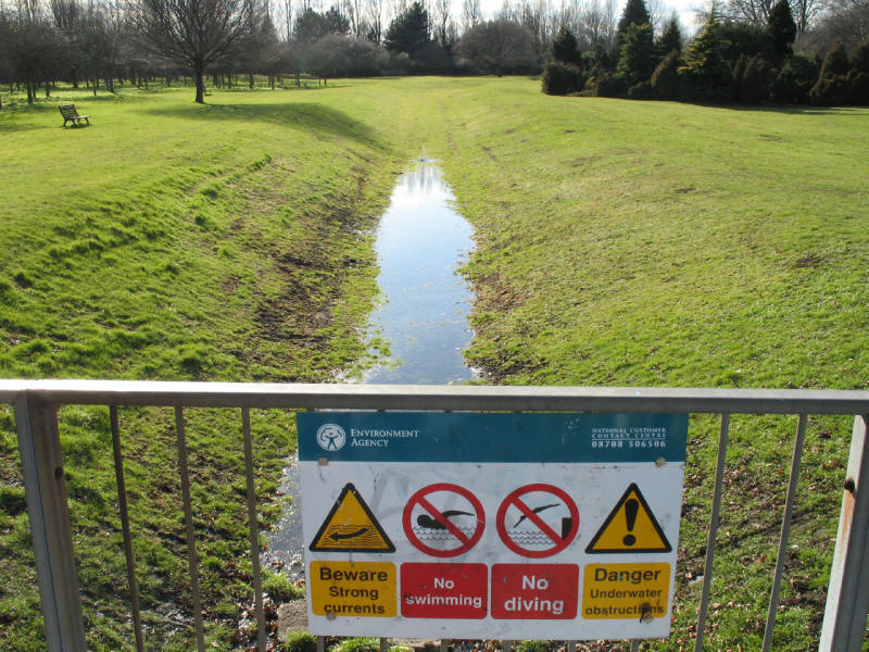
It's good to have the Environment Agency looking out for us and warning us of
hazards we wouldn't have expected
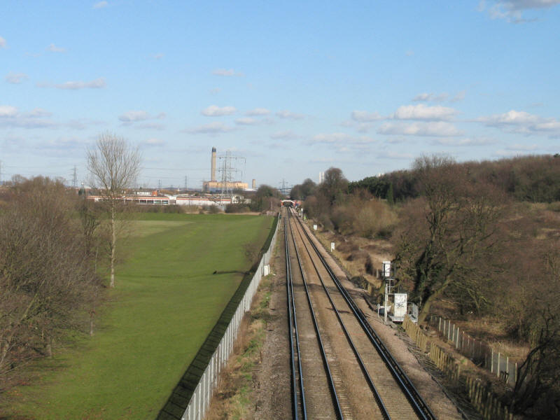
Crossing the railway line on its way to Dartford
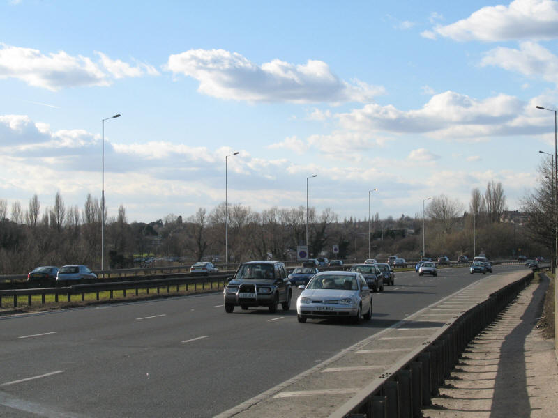
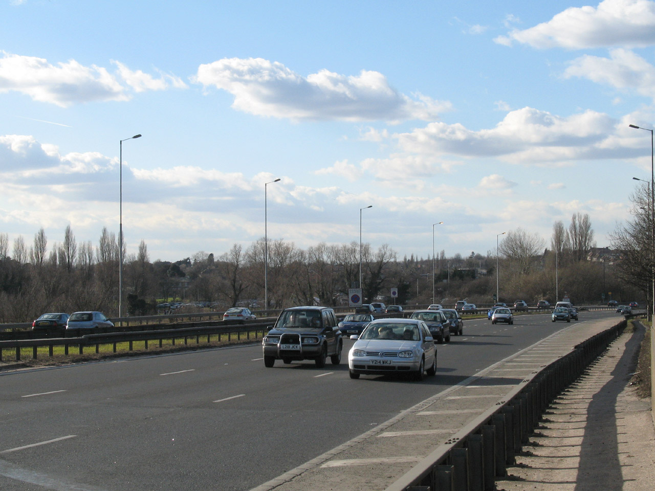
The A2 - having started just east of the A10 and passed over the M11, A12 and
A13, to reach the A2 is a small milestone and shows we are making progress
around the clockface numbering of London's roads.
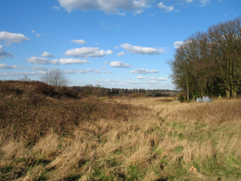
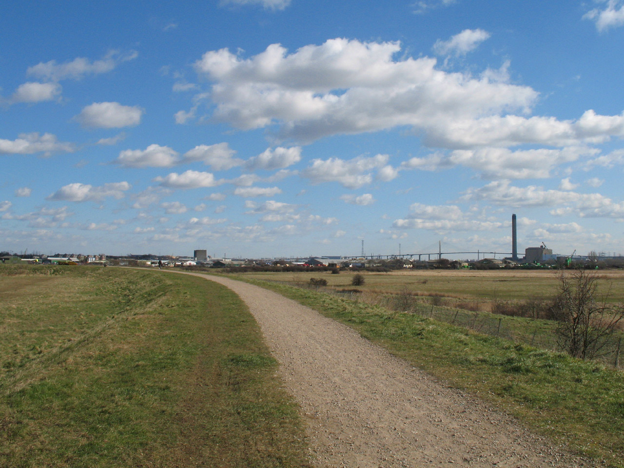
Looking back across wasteland towards the A2
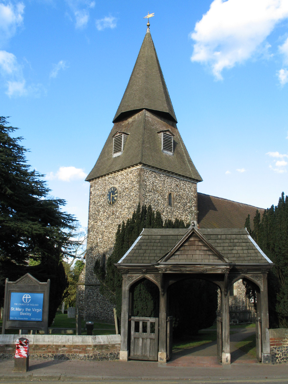
St Mary the Virgin church, Bexley. It looks as though the plan for the spire was
changed half-way through construction!
Another pleasant walk on the LOOP, showing a variety of faces of the Thames,
Darent and Cray. Next time, the London Loop from
Old Bexley to Petts Wood
Section 1 Erith station to Bexley station: 13.3km, 3 hours 40 minutes
(including 50 minutes stopped), 100 metres of ascent


|