London Loop Walk 6:
Old Bexley to Petts Wood (Jubilee Park)
19 March 2006
Today Stephen did the sixth of his London Loop walks, once more with George for company. We set off from Old Bexley
and began along the route of the River Cray again, then a mixed middle section
and finished with a long woodland walk reaching Jubilee Park Country Park near
Petts Wood station.
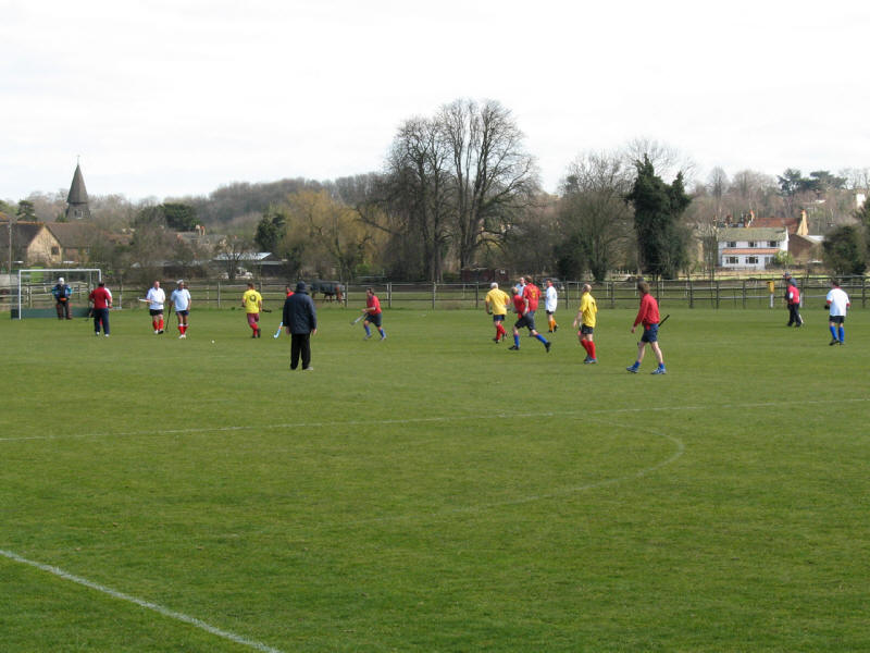
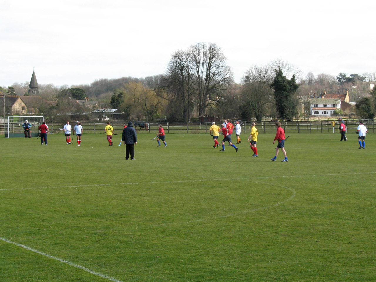
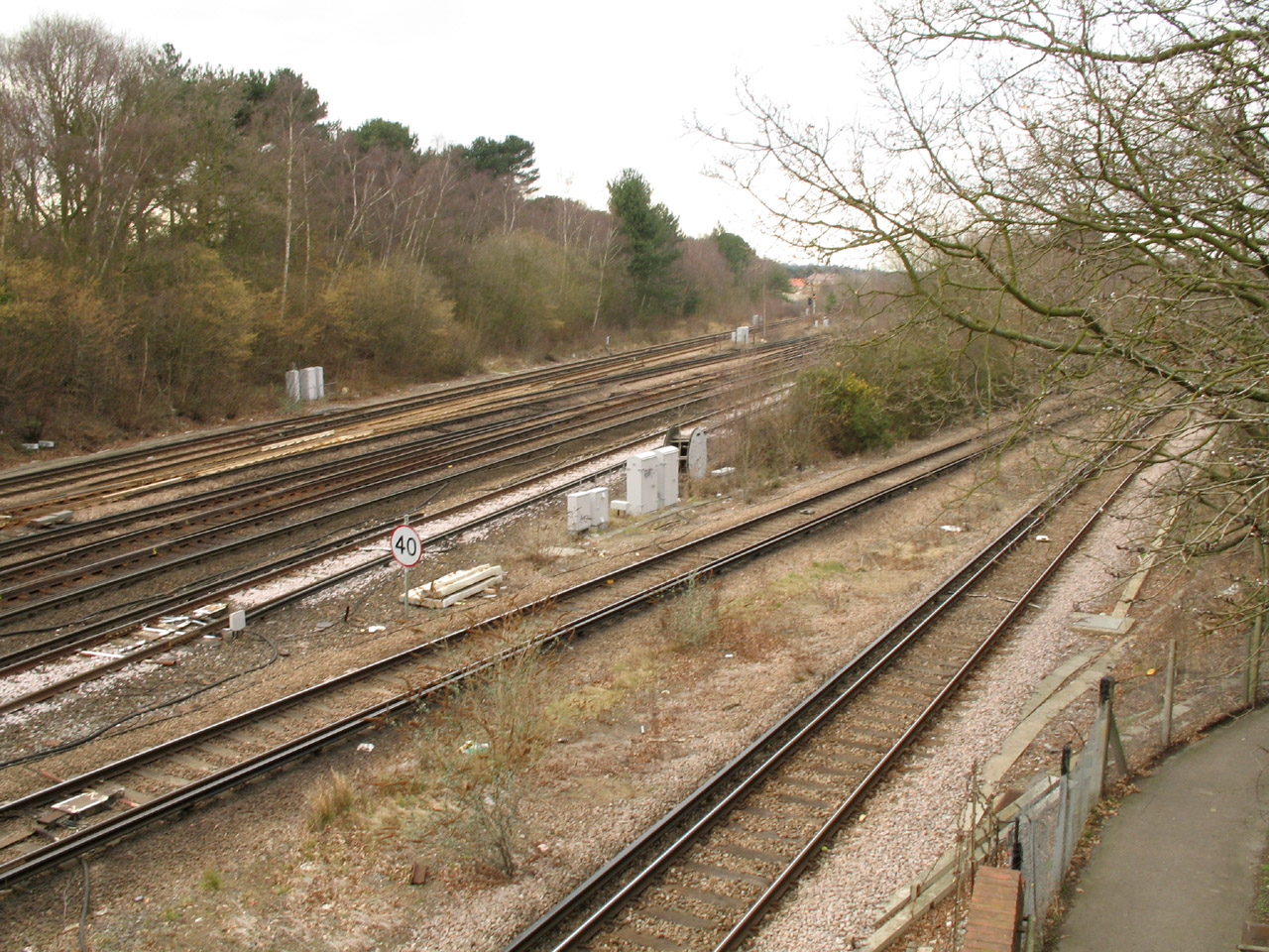
As we parallel the railway line from Bexley station, we pass playing fields
where the men of the town are out playing hockey on this bright Sunday. Visible
on the horizon on the left is that odd church spire again (see
previous walk).

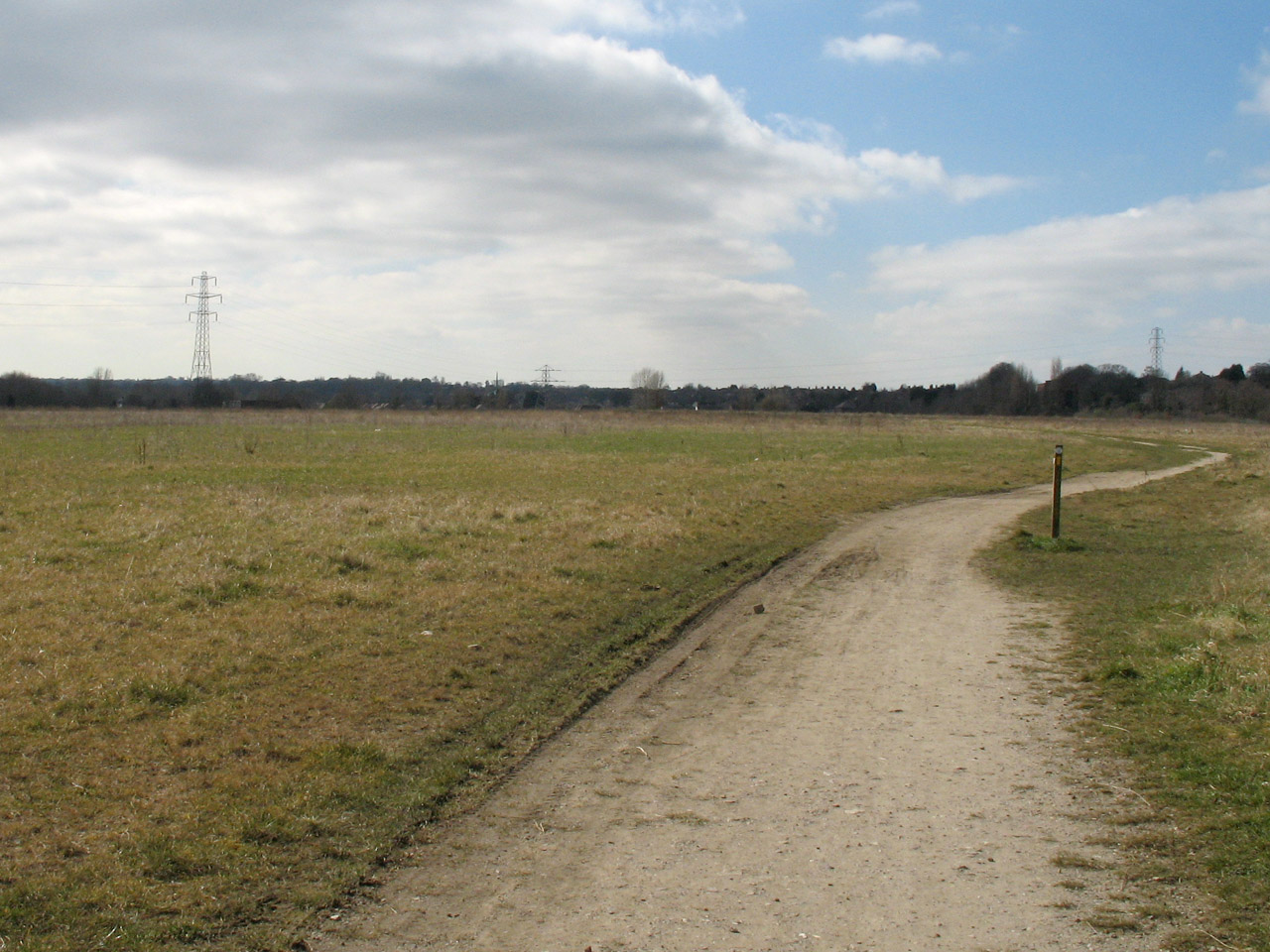
We then cross scrub grassland, over another of the old landfill sites the LOOP
seems to favour. Although it appears to serve no purpose except as a green
area for the district, either side of this public footpath is littered with
notices saying "Private property. Keep to footpath". What possible harm anyone
could do by straying off the footpath is hard to conceive. Judging by the
well-trodden tracks that criss-cross the area, the locals are taking no notice!
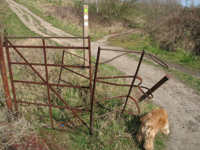
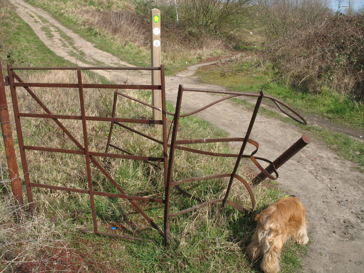
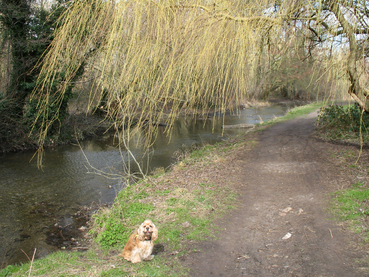
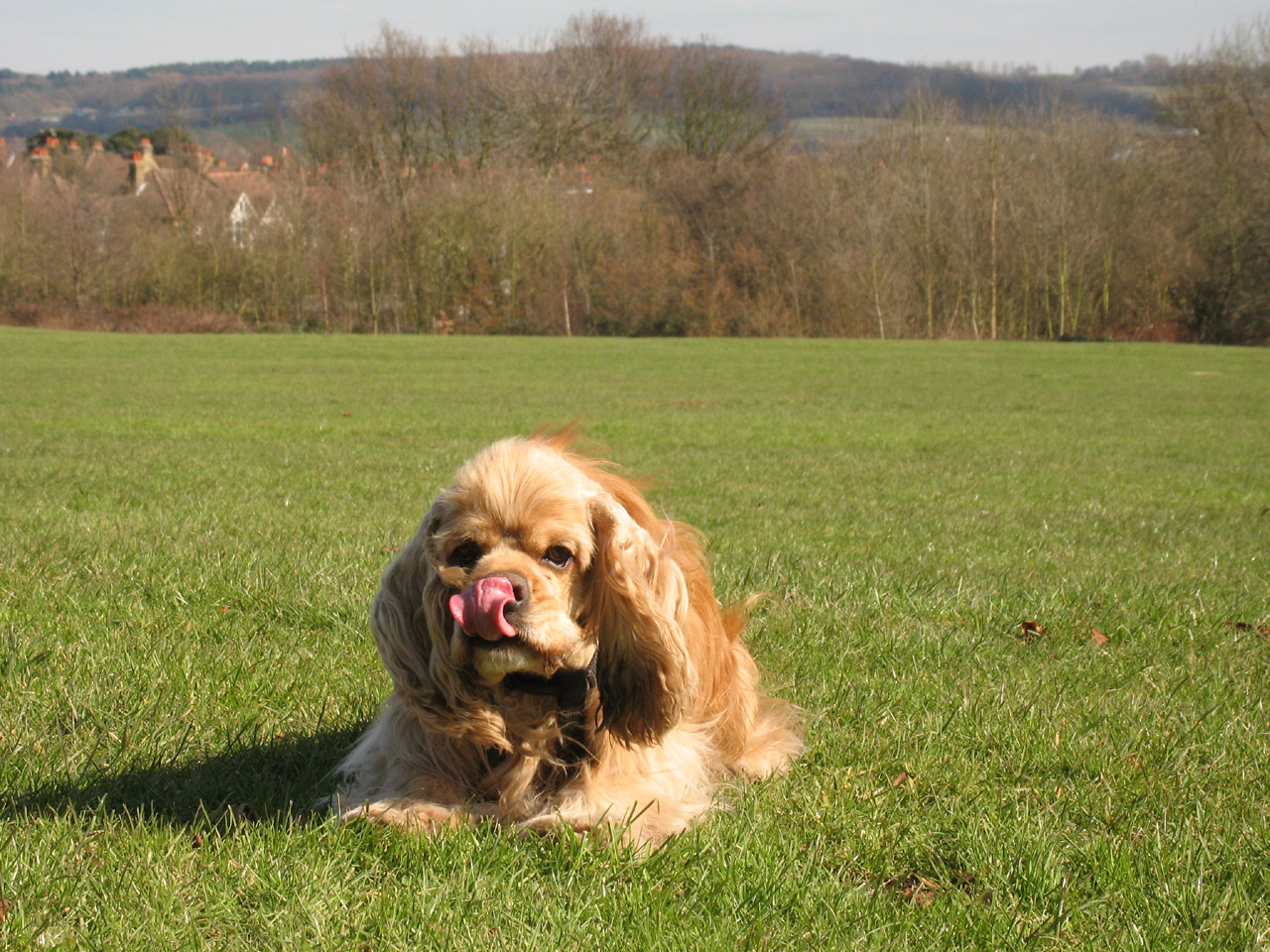
George investigates this kissing gate which has seen better times.
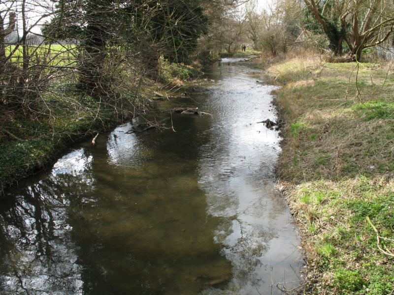
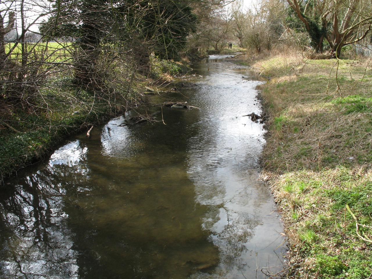
We rejoin our companion from the previous walk,
the River Cray, which we have followed from
the Thames (where it was the Darent).

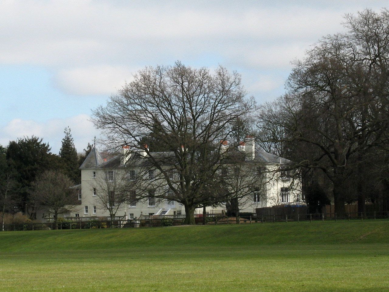
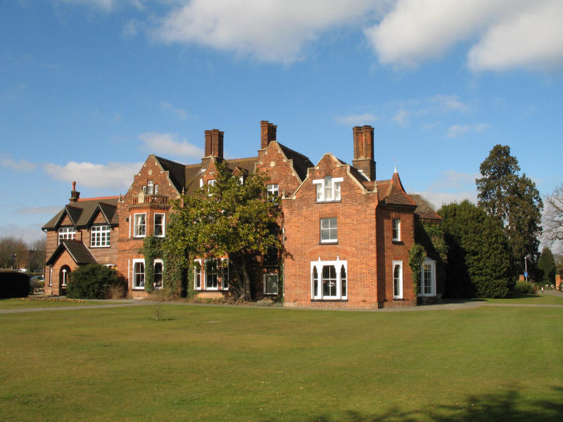
Loring Hall from the River Cray. The Hall, built around 1760 though extended
since, was originally known as Wollett Hall. Former occupiers include Viscount
Castlereagh, former Foreign Secretary, Leader of the House of Commons and Home
Secretary. More recently the hall has been used as a nursing and care home,
currently by Oakfield Care as a care home for adults with learning difficulties.

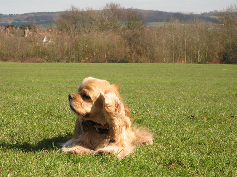
George enjoying the walk along the riverbank.

"Caution Vehicle crossing point", says the sign.

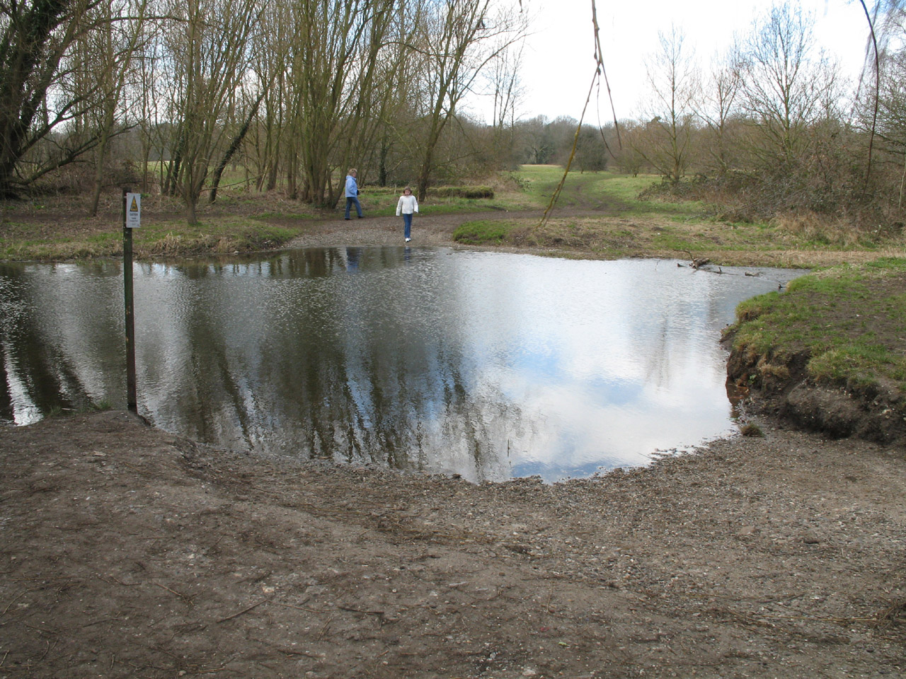
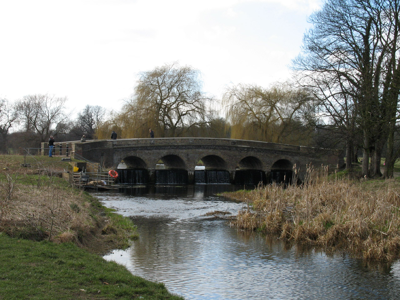
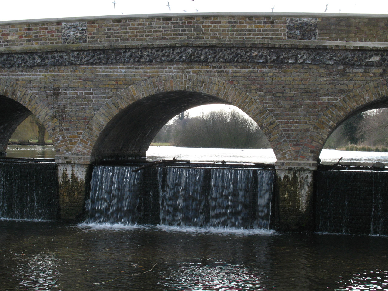
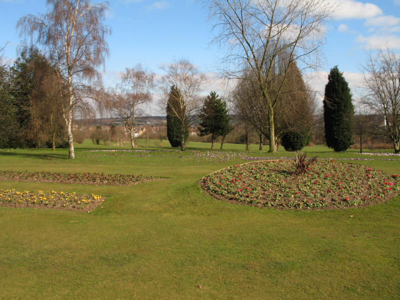
Our walk along the delightful Cray now reaches the imaginatively named Five Arch Bridge.
The Grade II listed structure forms the centrepiece of Foots Cray Meadows, a
large open space for the people of Bexley.
The bridge was built around 1780 under the supervision of Capability Brown as a landscape feature for Foots Cray Place,
which burned down in 1949.
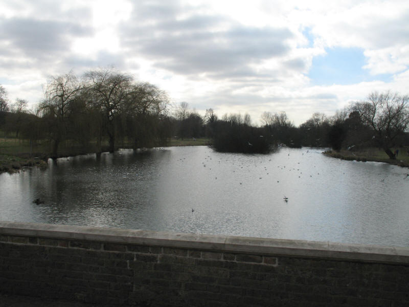
The weir underneath the arches caused the River Cray to form this small lake,
much frequented by birds.

The weir under the arches
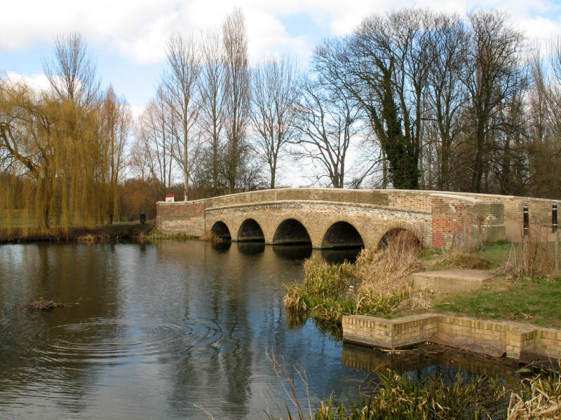
Five Arch Bridge on the River Cray

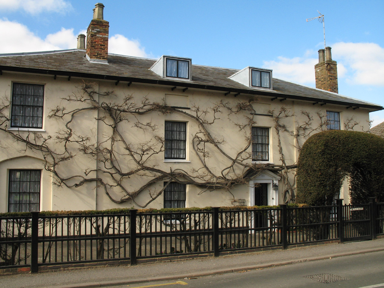
We return for a short while to the road-side to pass through Foots Cray: here we
pass The Old House.
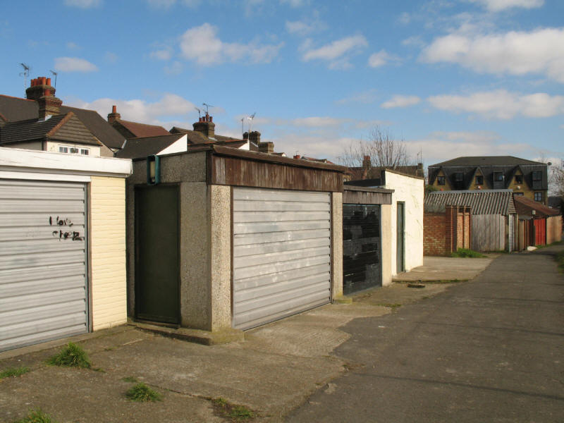
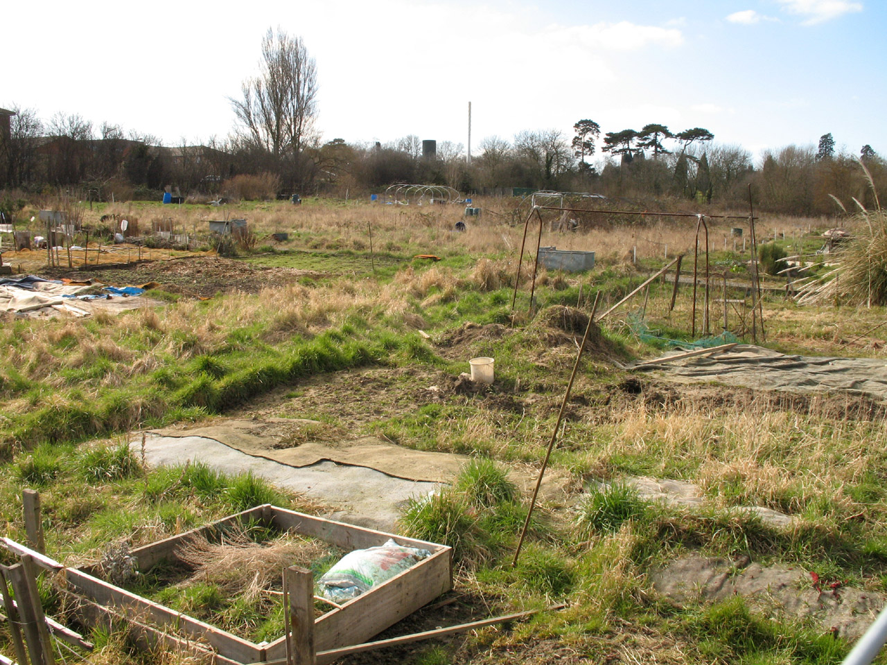
Suburbia on the southern edge of Sidcup with garages...
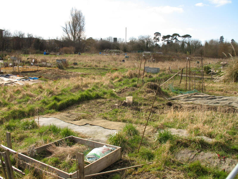
...and allotments
We then climb away from the valley of the Cray towards Sidcup Place. George has
a little rest, with behind him the view down towards Foots Cray and the Cray
valley.
"If I make silly faces, he might stop taking pictures and get on with our walk!"
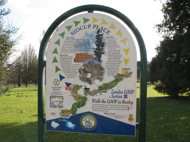
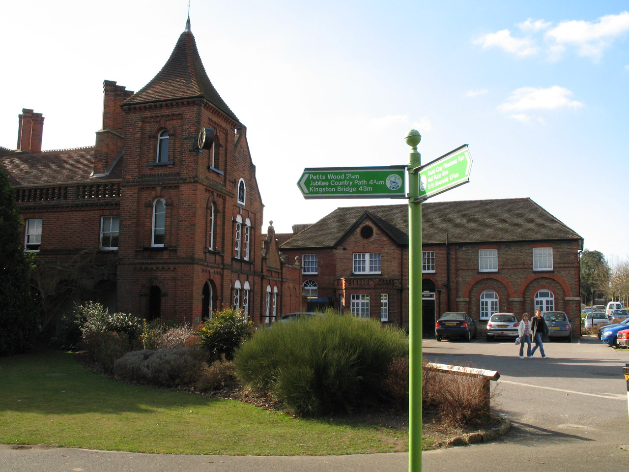
In the grounds of Sidcup Place we find the second of these interpretive London Loop signs.

A signpost next to Sidcup Place
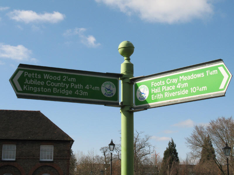
It is 10¾ miles since the official start of the LOOP at Erith
where we gained the south bank of the Thames, and 43 miles till
Kingston Bridge where we regain the north side: at the current
rate we should be there in June.
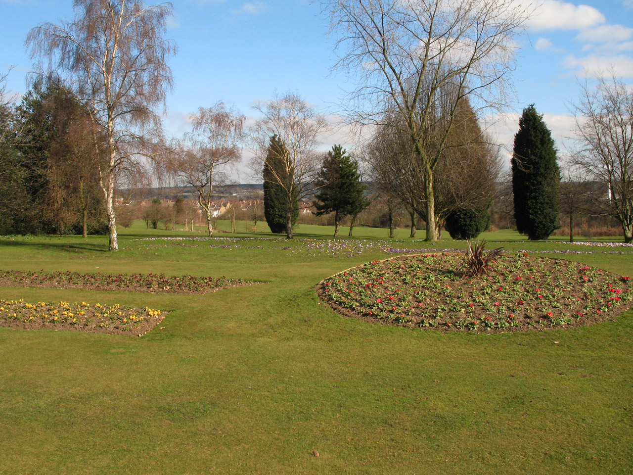
Flowers in the garden of Sidcup Place, flowering rather late in this very cold
and dry March.
Sidcup Place is a Grade II Listed Building from around 1750. The original building
was in the shape of a fort with bastions, but has been extensively modified and
rebuilt since. Formerly council buildings, it is now a rather grand pub.
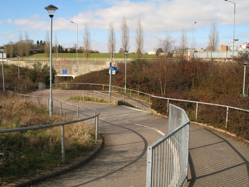
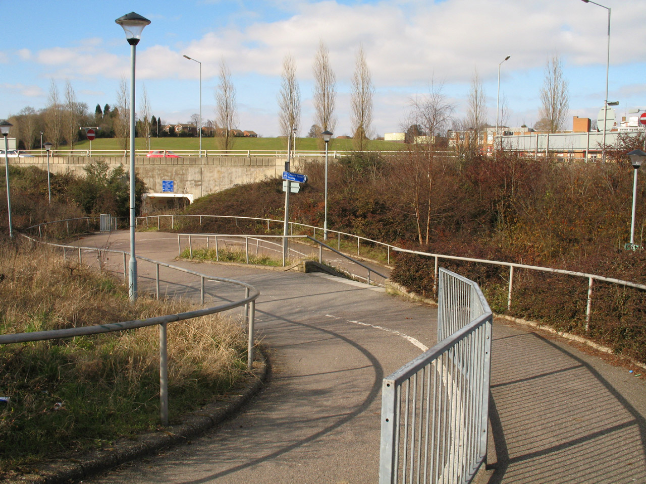
Having made our way past Queen Mary's Hospital, we reach the junction of the A20
and A222. We veer left and plunging into the depths right again, and under the
road, then this switchback cycle path with shortcutting steps for pedestrians
takes us up again to this point in the middle of the roundabout. Following a
crossing of the A20 dual carriageway by a bridge, we repeat the switchback descent,
dive under the road and then climb the other side. It is a relief to climb a
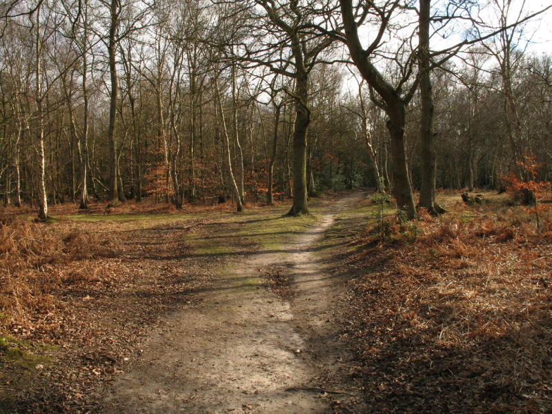
stile and drop away from the A20 into Scadbury Park.
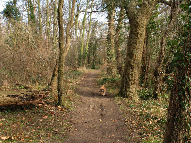
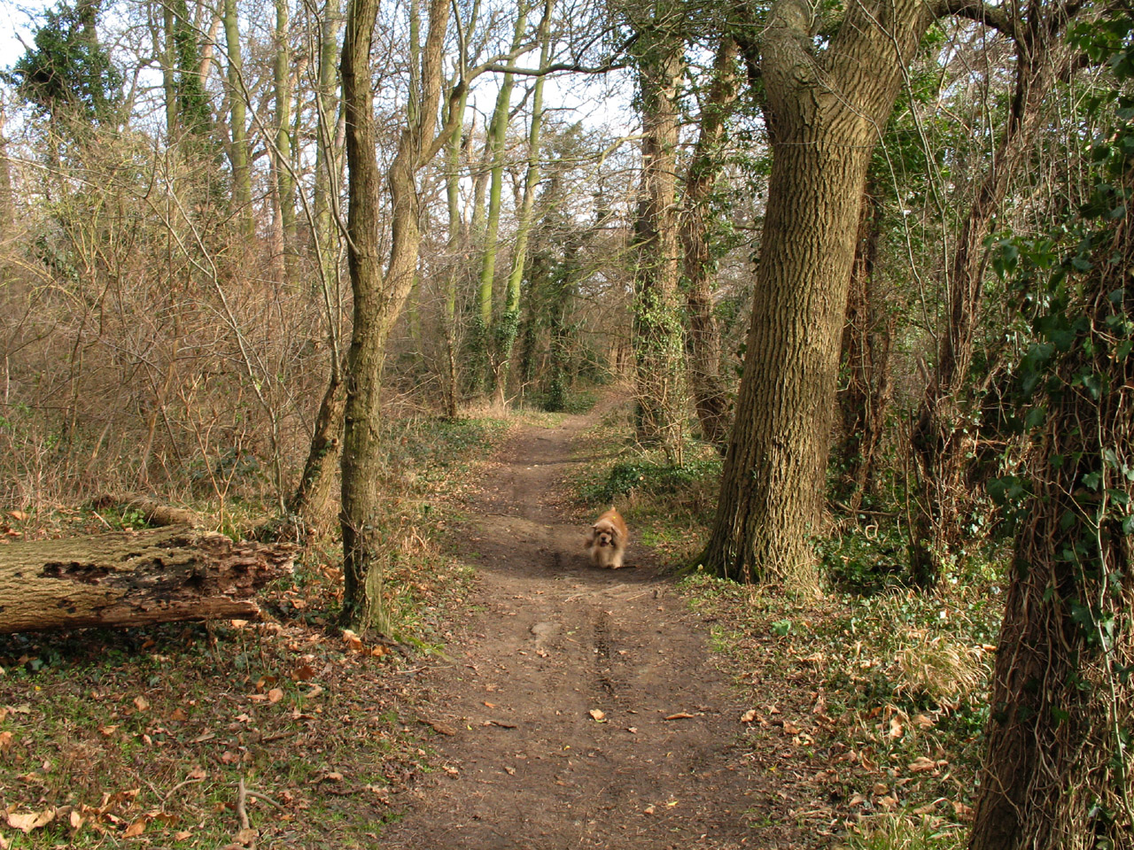
Footpath through the woods of Scadbury Park, named after the de Scathebury
family who build their house here in the 13th century: the house was demolished
in the 1730s, and the estate now forms a large public green space
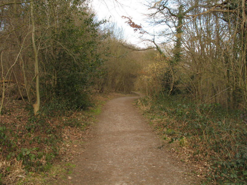
This path through the woods is part of the popular Scadbury Park Circular Walk
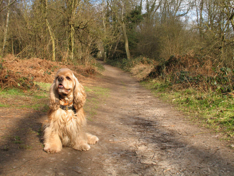
George looking pleased with himself as we progress through Park Wood.
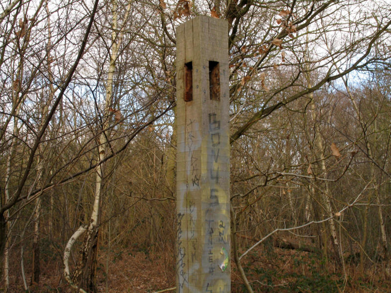
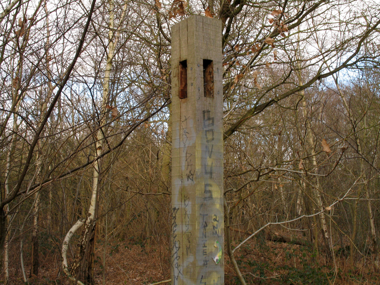
The signing on this stage of the LOOP was variable - some was very good, but
there were quite a few "which way now" moments with no waymarkers. In
places the signing had clearly suffered from vandalism, as here, where the direction
arms are missing and only the vestiges of the LOOP waymarker can be seen near
the bottom of the photograph. Unfortunately I had forgotten to bring the
guidebook with me today, and the TfL leaflets for this stage are out of print.
However, the signing was good enough together with my map and GPS to make the
lack of guide of no consequence for route-finding, though afterwards I
discovered I had missed a couple of points of interest just off the route.
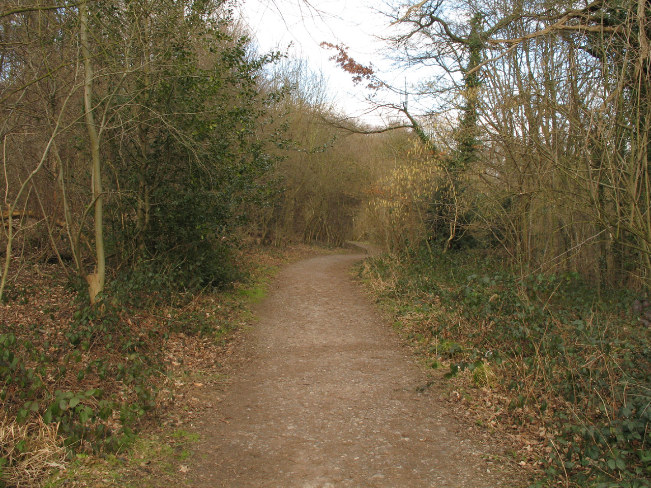
Having crossed the A208, we continue through the woodland of The Gorse.

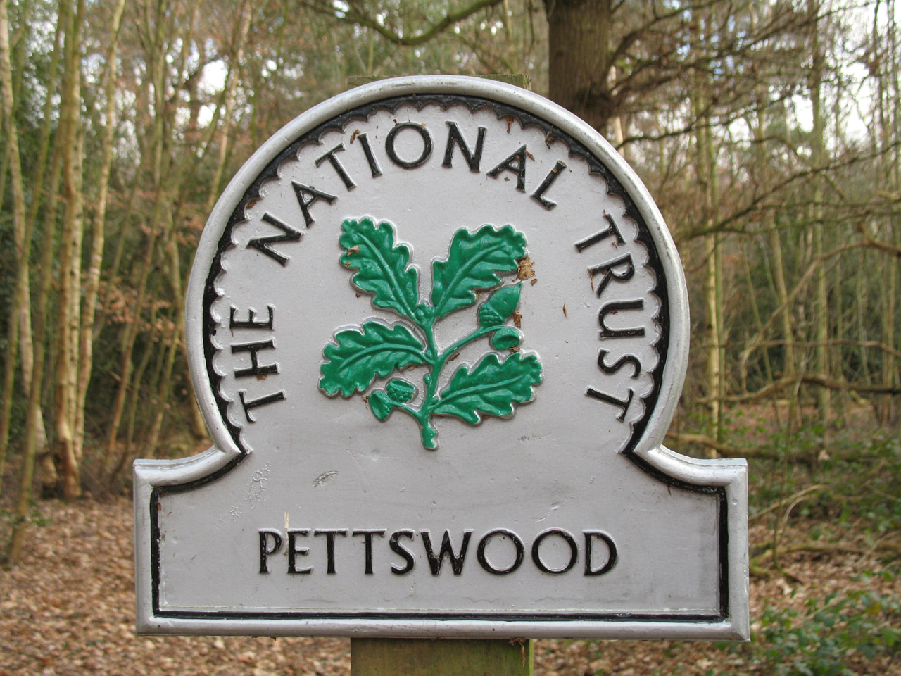
And then reach Petts Wood (or Pettswood as this National Trust sign has it). It
is believed to be named after the Pett family of Deptford who leased the wood in
the 16th century.
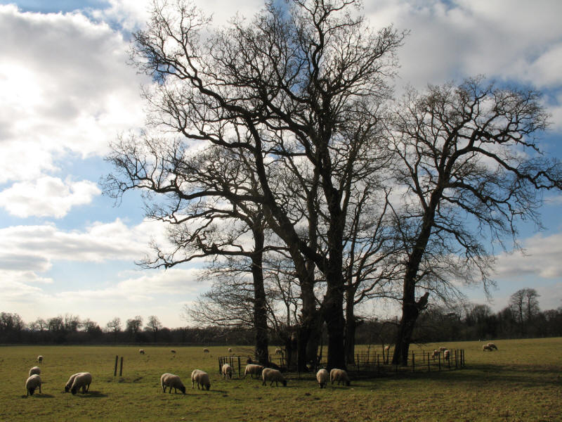
From the edge of the woodland, a glimpse of sheep grazing

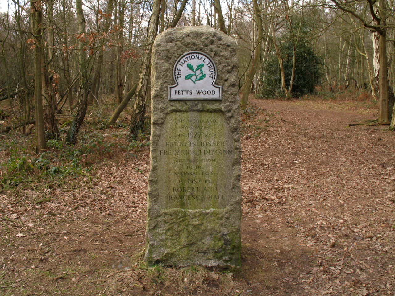
A Cornish granite memorial commemorating the saving of this woodland in 1927 by Francis Joseph
Frederick Edlmann and the giving of it to the National Trust in 1957 by Robert
and Francesca Hall, to join with the Willett wood which had earlier been donated
as a memorial to William Willett, the inventor of British Summer Time.
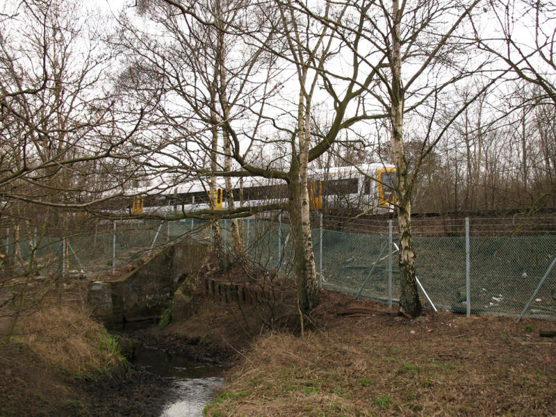
The path runs alongside the railway for a while now: a train runs towards
Maidstone
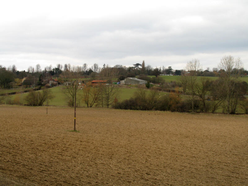
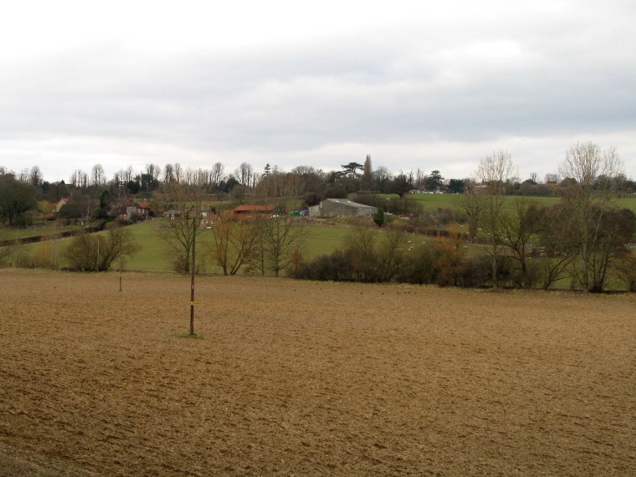
Farmland in the green belt next to the railway
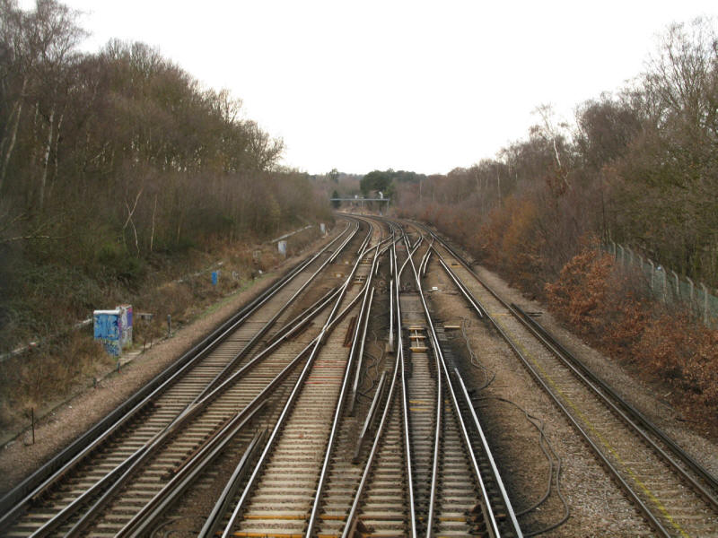
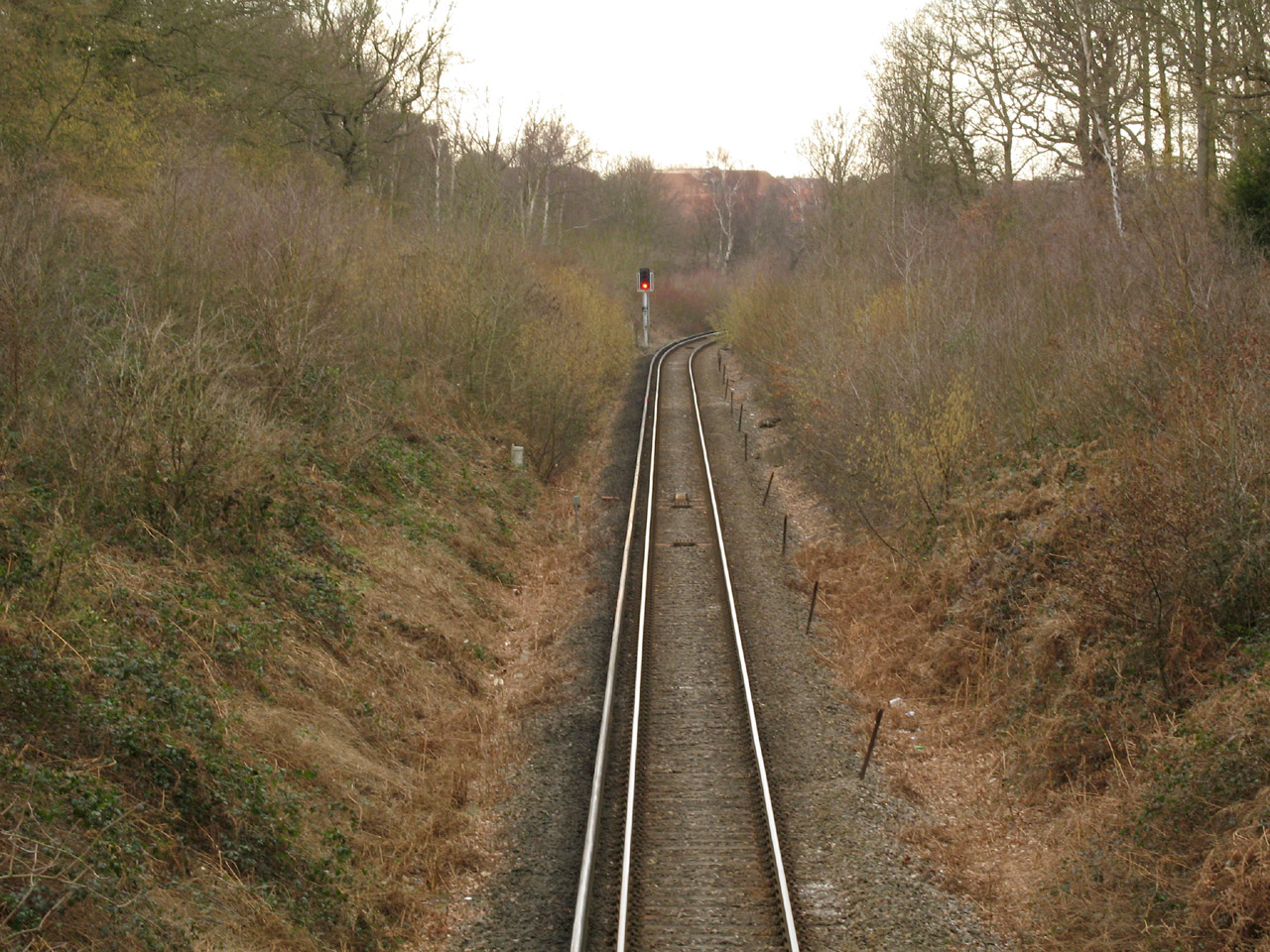
We now cross the railway

And a few metres later another line which diverged nearby at St Mary Cray Junction

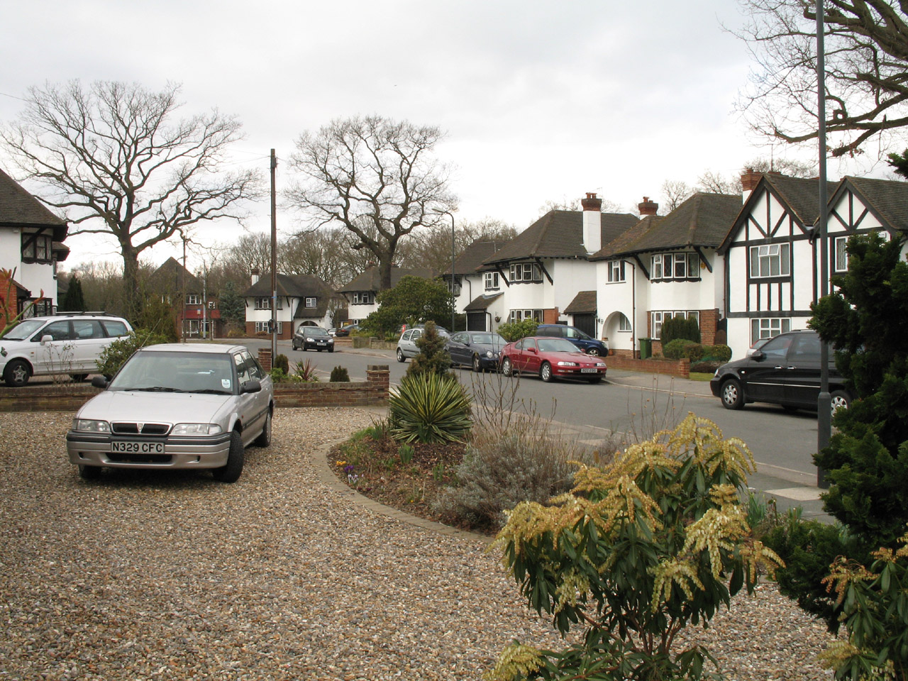
A brief interlude of suburbia lying between railway lines...

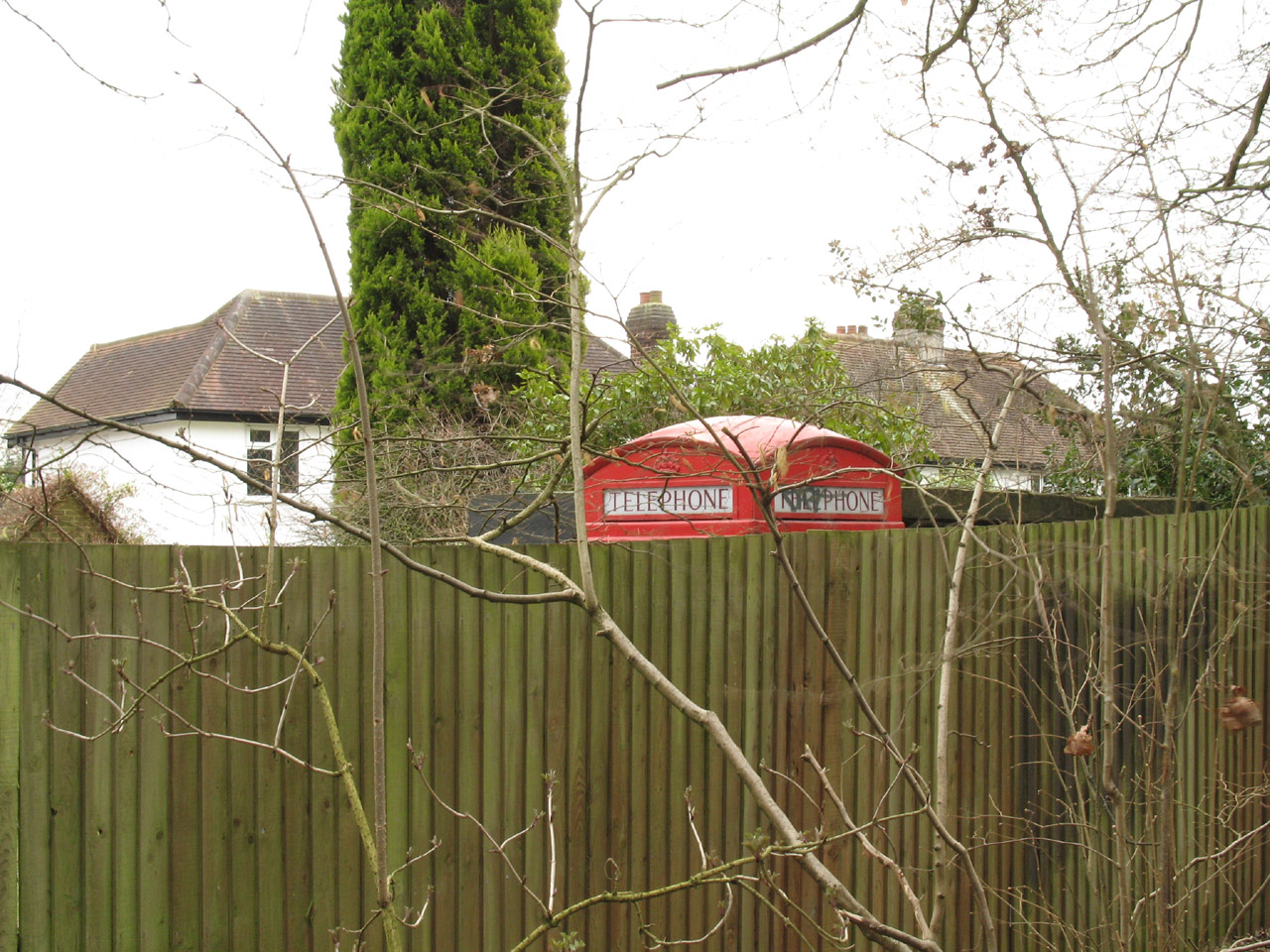
...with a telephone box in a back garden...

...before we cross yet more railway lines between Petts Wood Junction and
Hawkwood Junction, and now only a short walk from Petts Wood station.
Another pleasant walk on the LOOP, especially the walk along the Cray and the
extensive woodland walks, though as is typical with the LOOP, the intervening
sections while not classically picturesque were interesting. Next time, the
London Loop from
Petts Wood to West Wickham
Section 2 Bexley station to Jubilee Park, Petts Wood: 10.9km, 3 hours 15 minutes
(including 50 minutes stopped), 143 metres of ascent


|