New River - Hertford to St Margarets
5 August 2007
The New River, as is commonly pointed out almost every time it is written about,
is neither new nor a river (there, I've done it too). It is an aqueduct
originally built between 1609 and 1613 to carry clean water from Hertfordshire
to north London. After a longish walk yesterday with George on the North Downs
Way, the flat New River Path seemed a good choice for a shorter and easier walk
on a day when temperatures were predicted to reach 29 degrees.

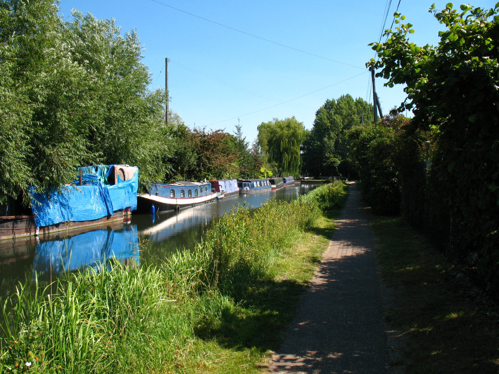
After a train journey to Hertford East, the first part of the walk is along the
towpath of the Lee Navigation
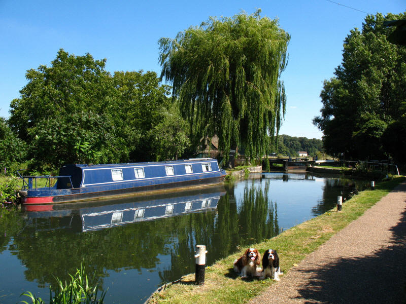
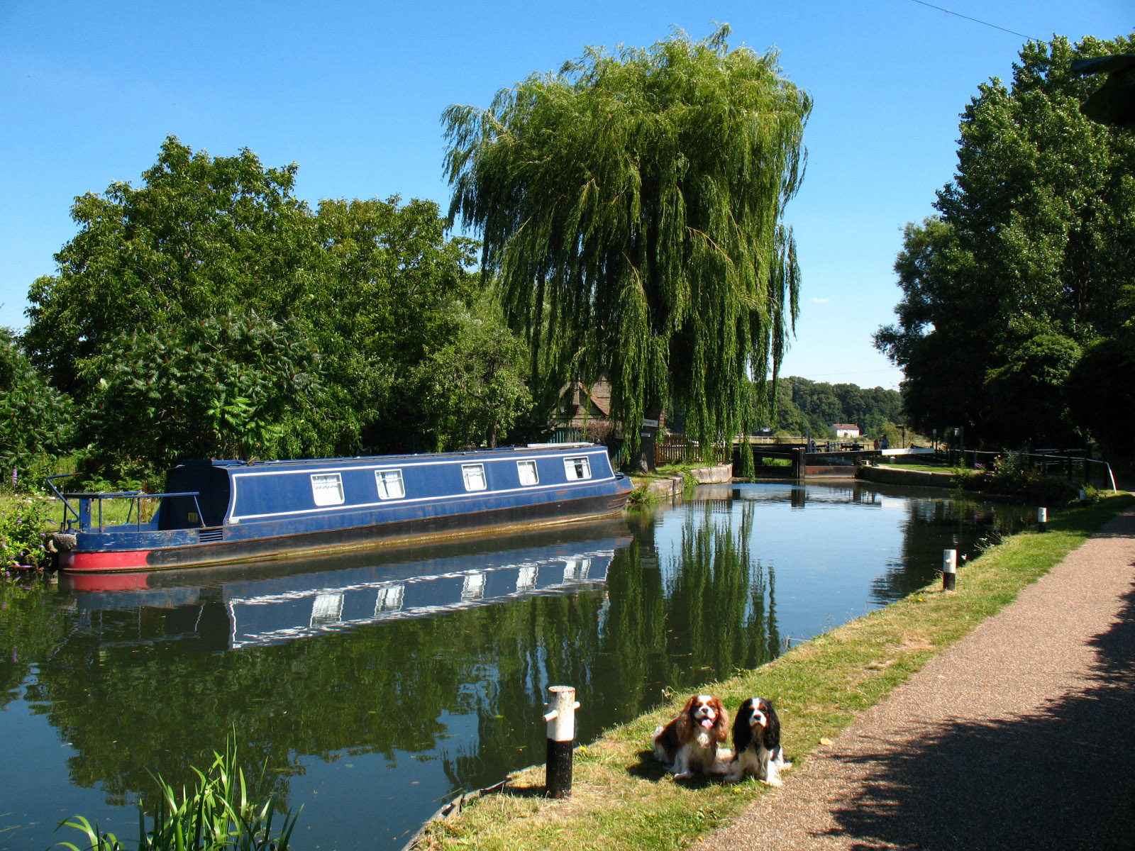
Henry and Ellie in front of Hertford Lock, the highest on the navigation.
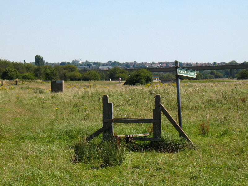
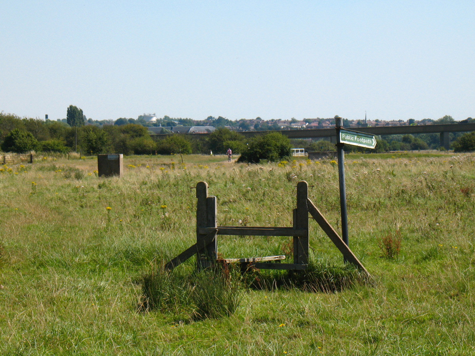
From there we took a shortcut across King's Meads. This stile is now without a
purpose as the boundary fence has gone, and the public footpath sign is pointing
almost 90° from the correct way.
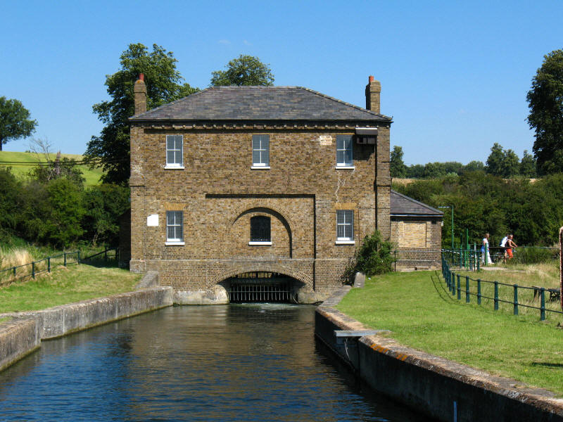
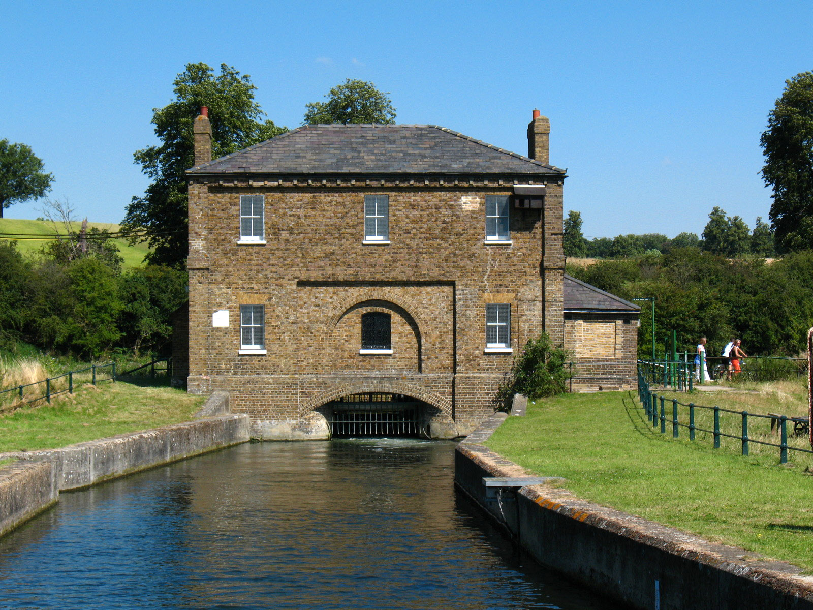
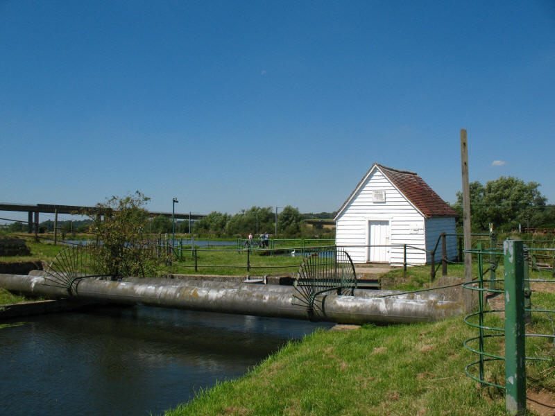
We then reach New Gauge, now the start of the New River where water pours from
the River Lea into the New River. The gauging house was built in 1856 to measure
and control the amount of water permitted into the New River by the Lee
Navigation. The original source was a spring, supplemented by water pumped from
underground, but an Act of 1738 allows up to 102 megalitres to be taken from the
Lee.

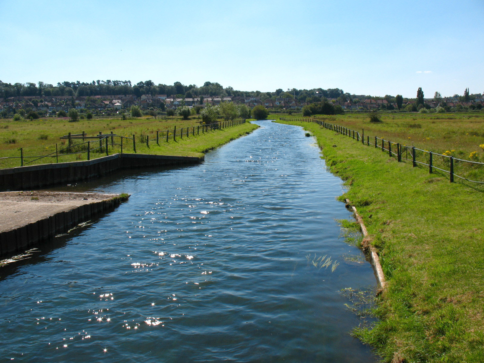
Looking along the New River across the flood plain of the Lea towards Hertford
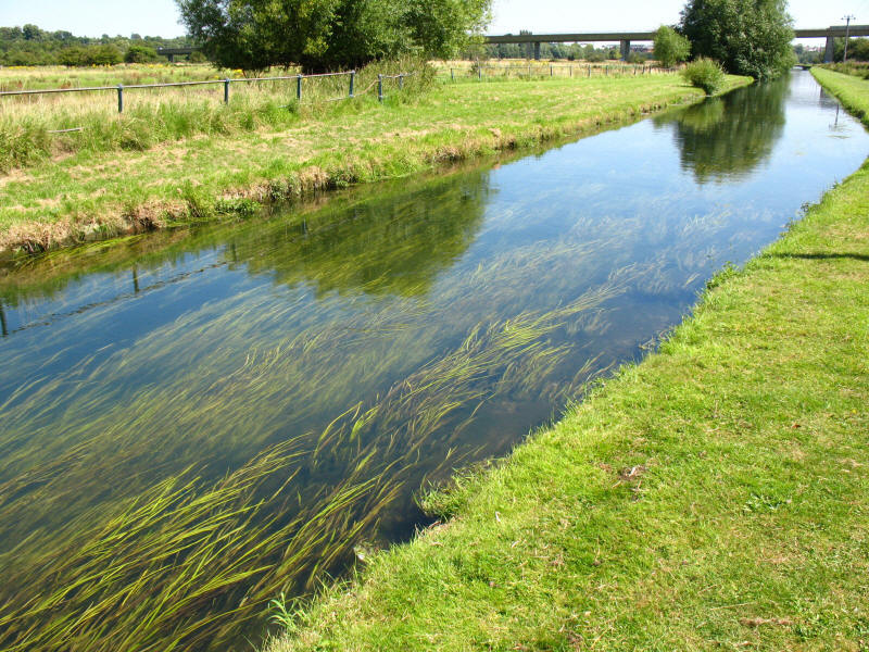
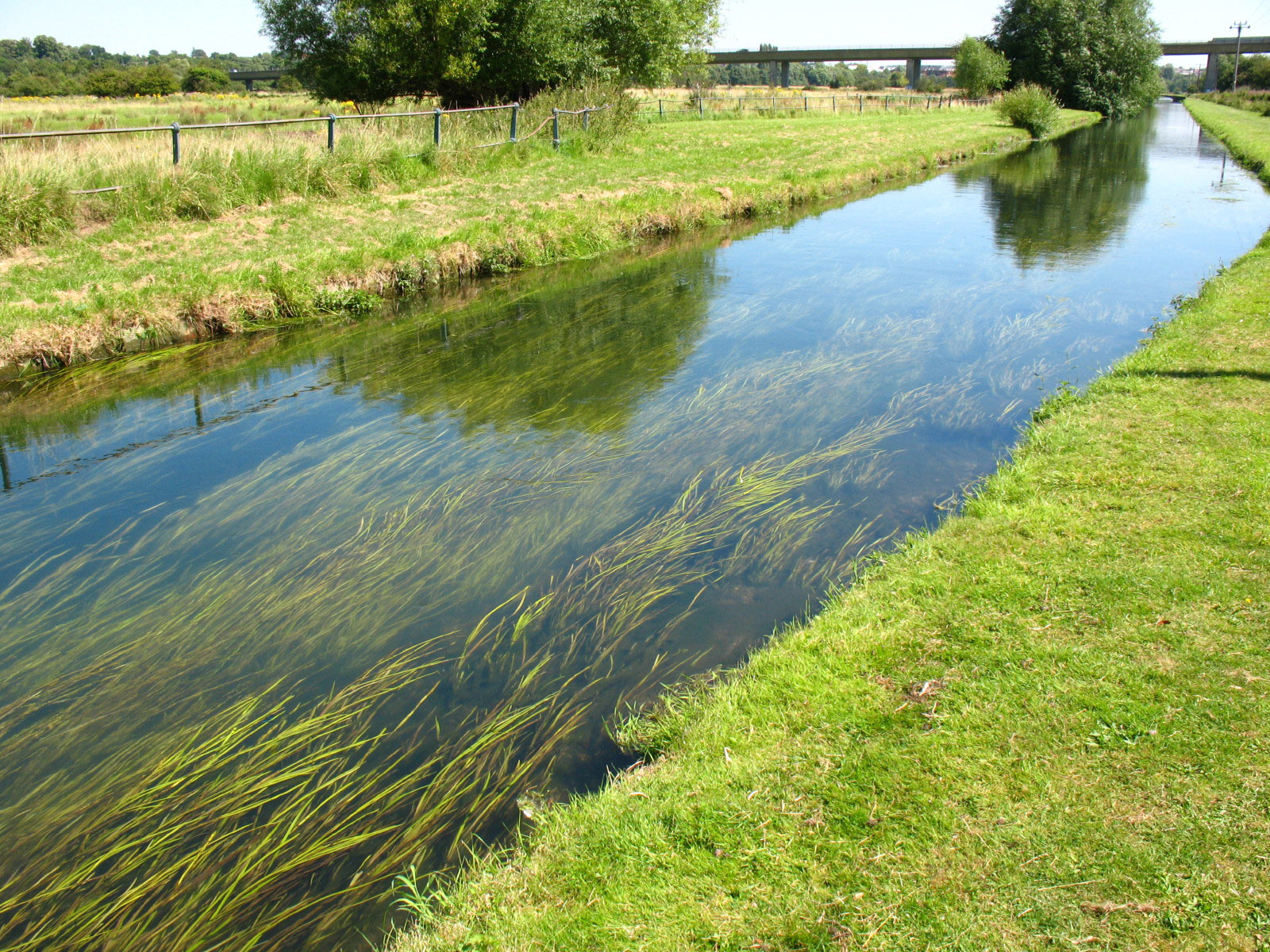
Weed growing on the bed of the New River, with the A10 viaduct visible in the
background.
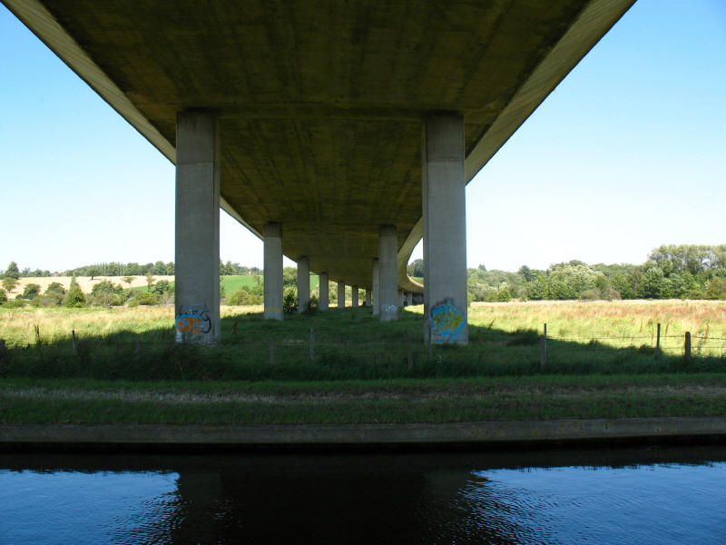
Underneath the A10
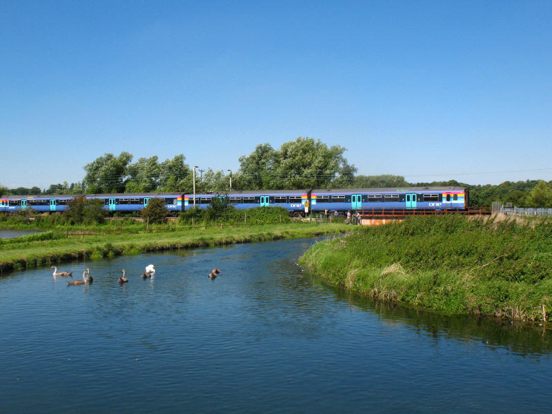
We then crossed the railway line: a train heads from Hertford East to Liverpool
Street
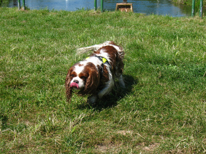
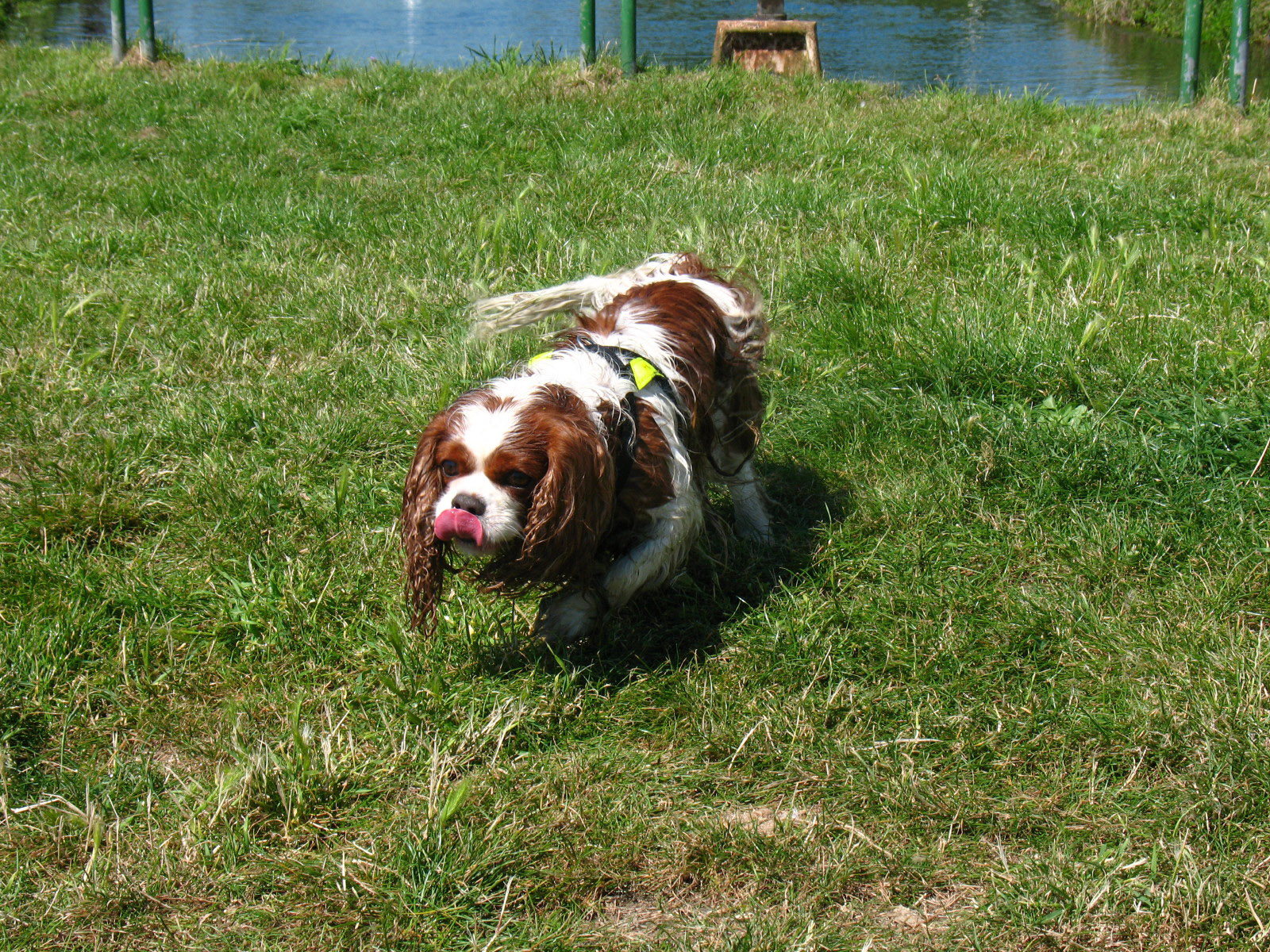
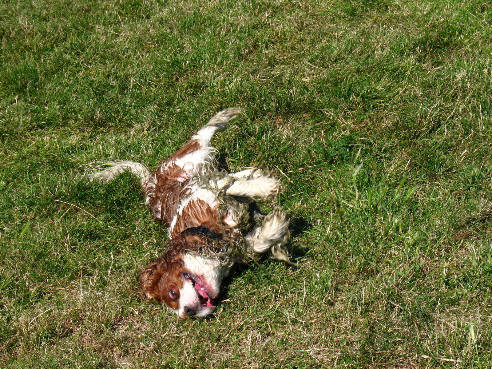
Here Henry became a bit too inquisitive and fell into the River and had to be
hauled out. He chose the part with the highest bank and some of the scumiest
water.
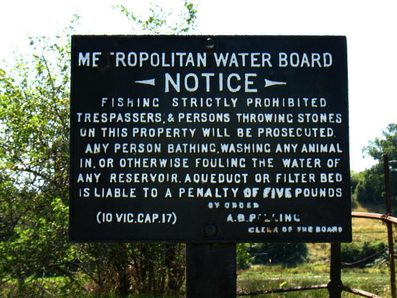
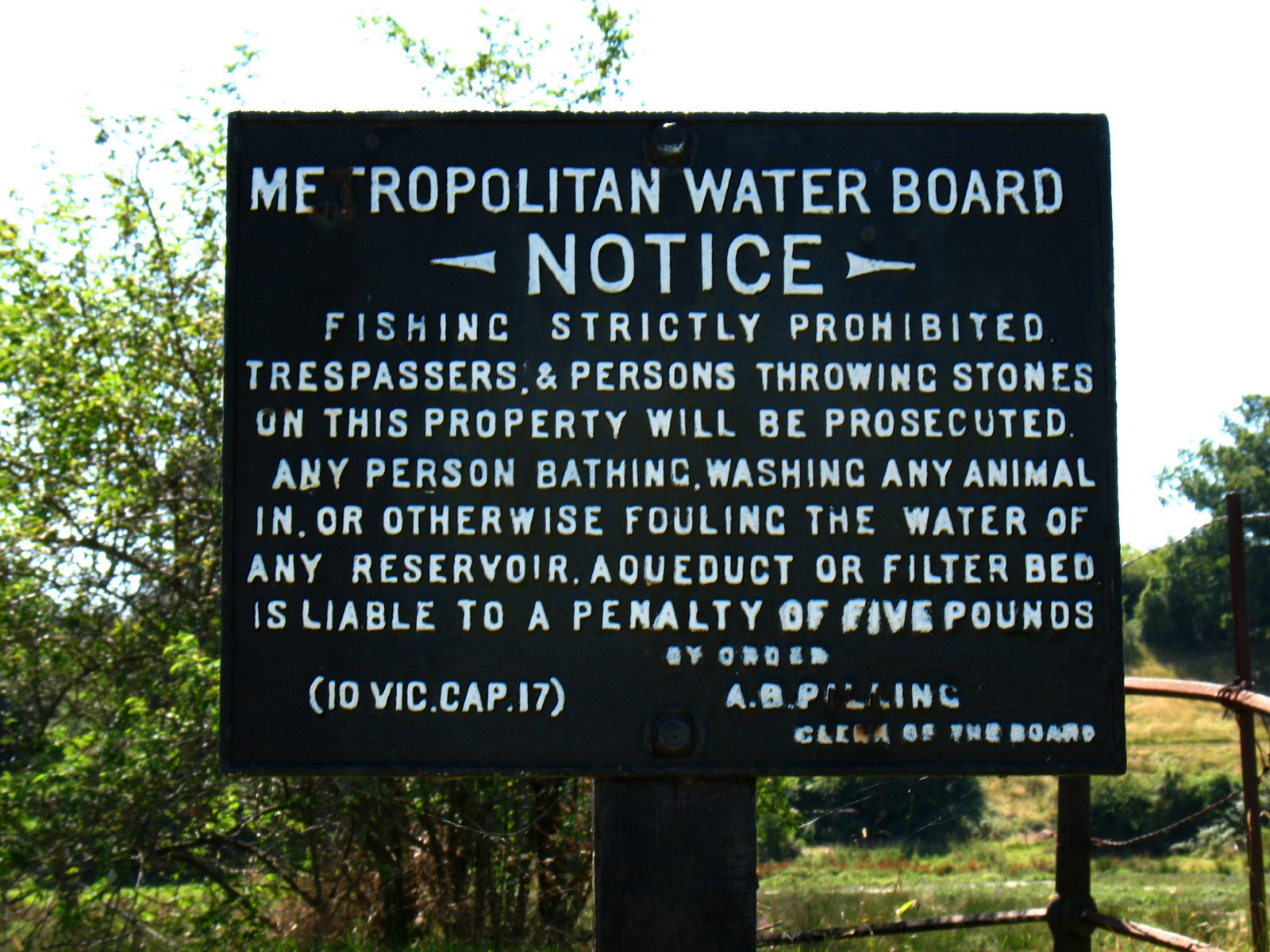
And obviously hadn't read the warning notice.
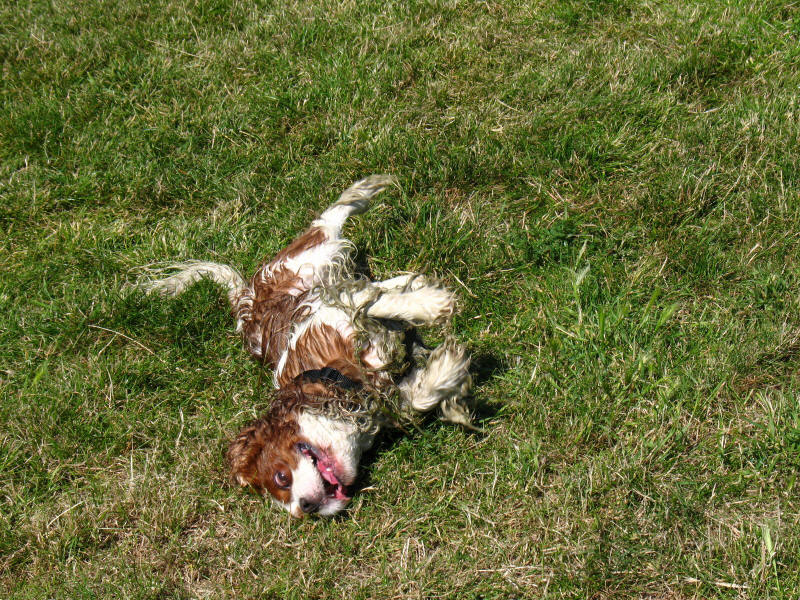
Henry dries himself off!
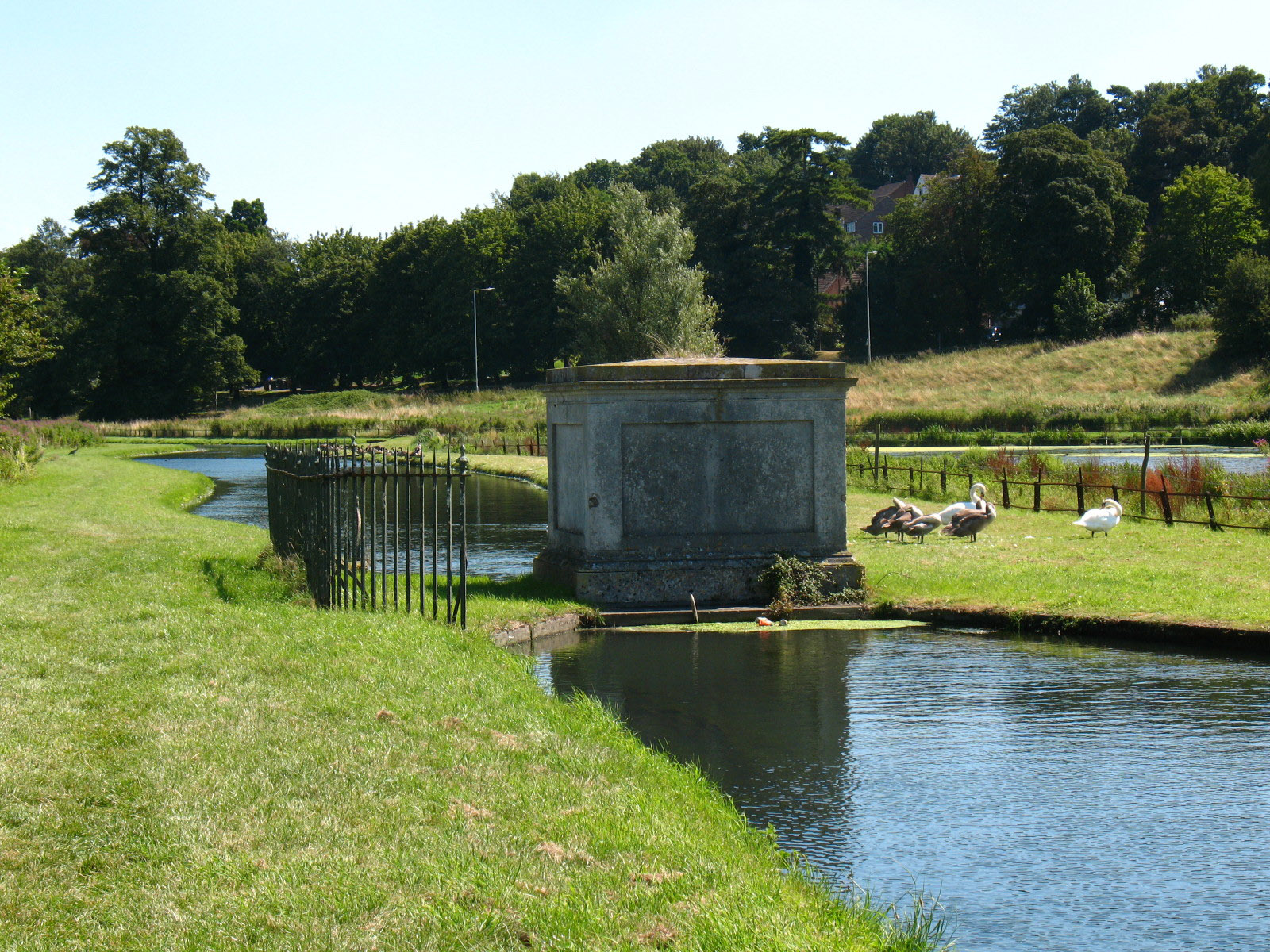
The White House Sluice

The Marble Gauge, built in 1770 to control water extraction from a former input
from the Lee
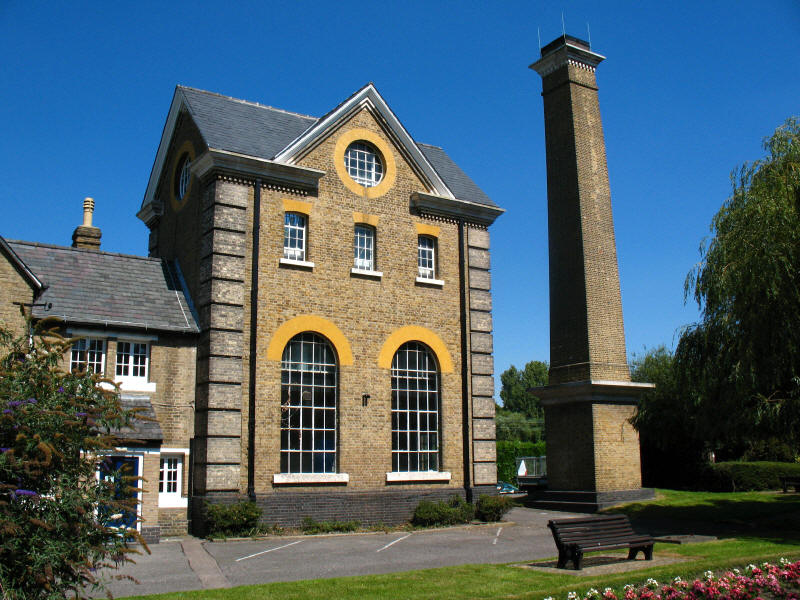
Broadmead Pumping Station is a Grade 2 listed building built in 1885.
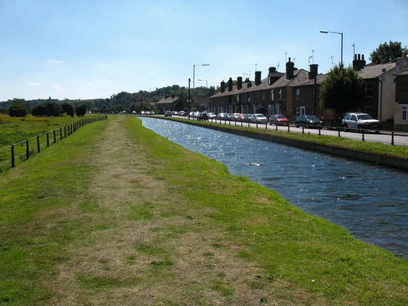
The New River runs along the road through Ware
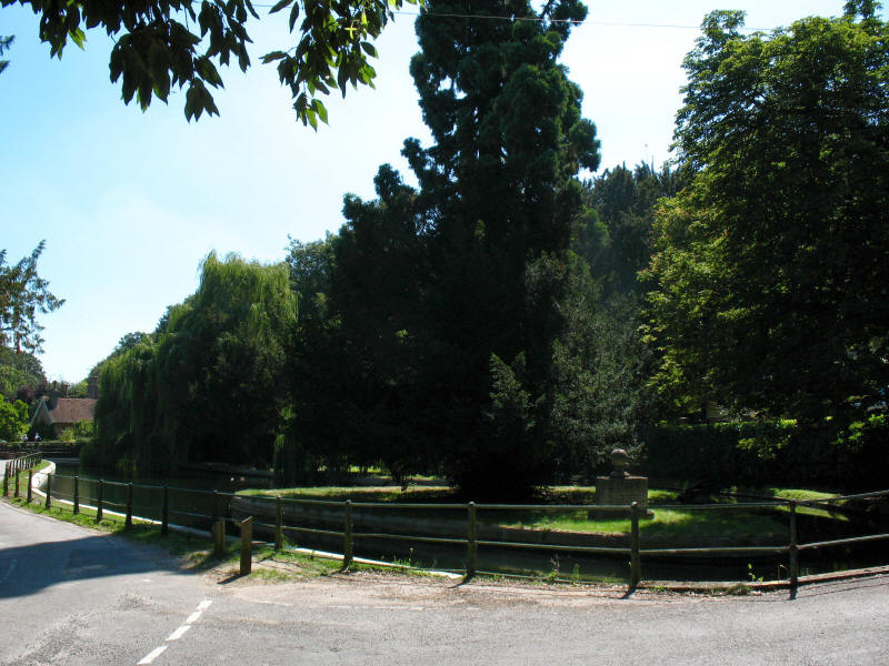
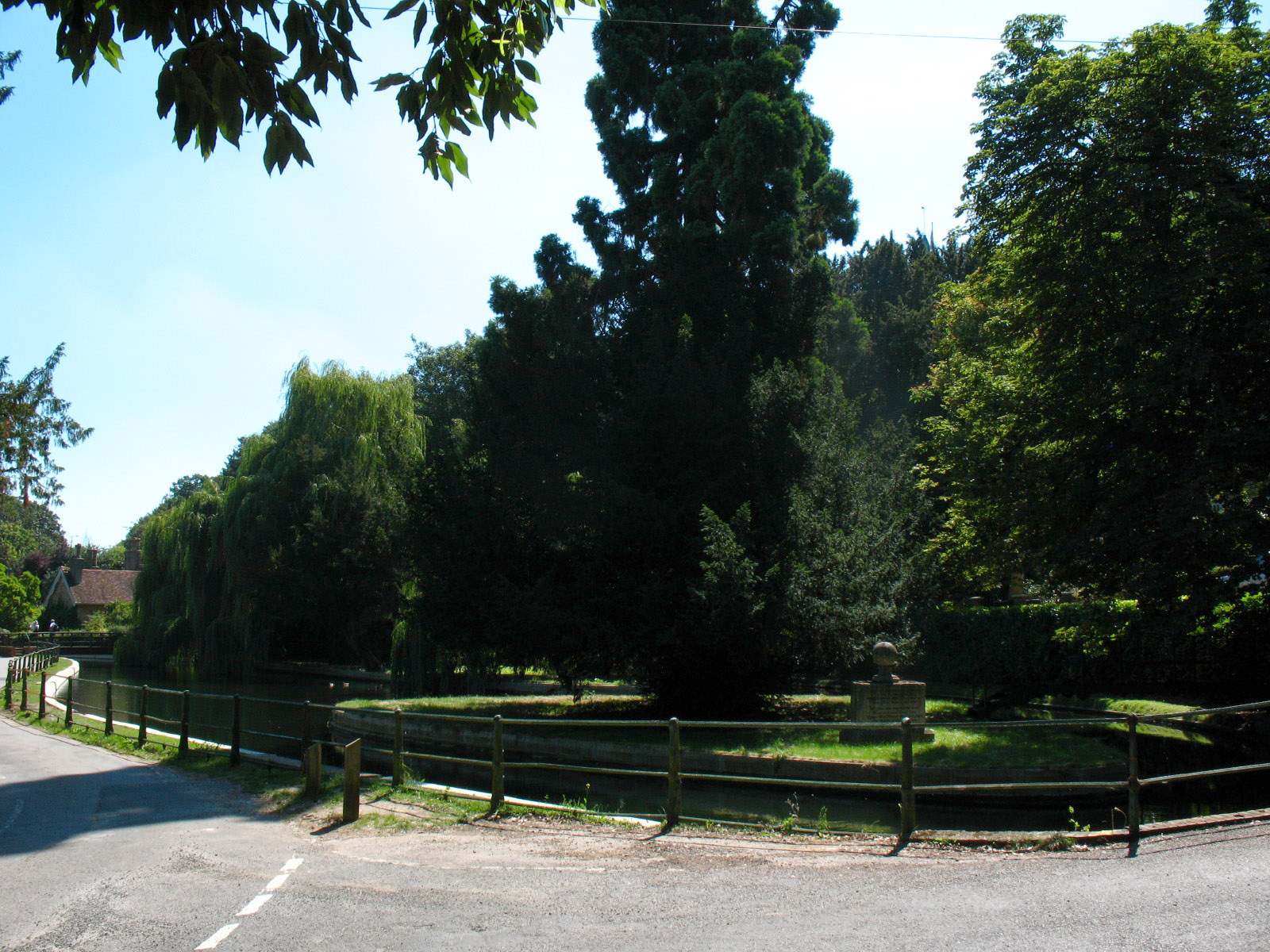
Amwell Islands are two islands sitting in a wide part of the River: on the first
is a stone monument with poem, and the other has a pedestal monument to Sir Hugh
Myddleton, who organised the building of the River.
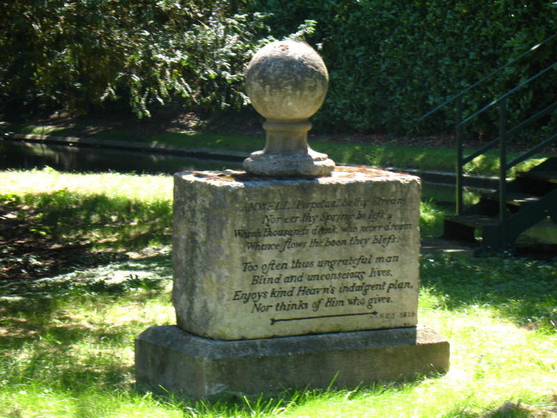
The poem on the first island.
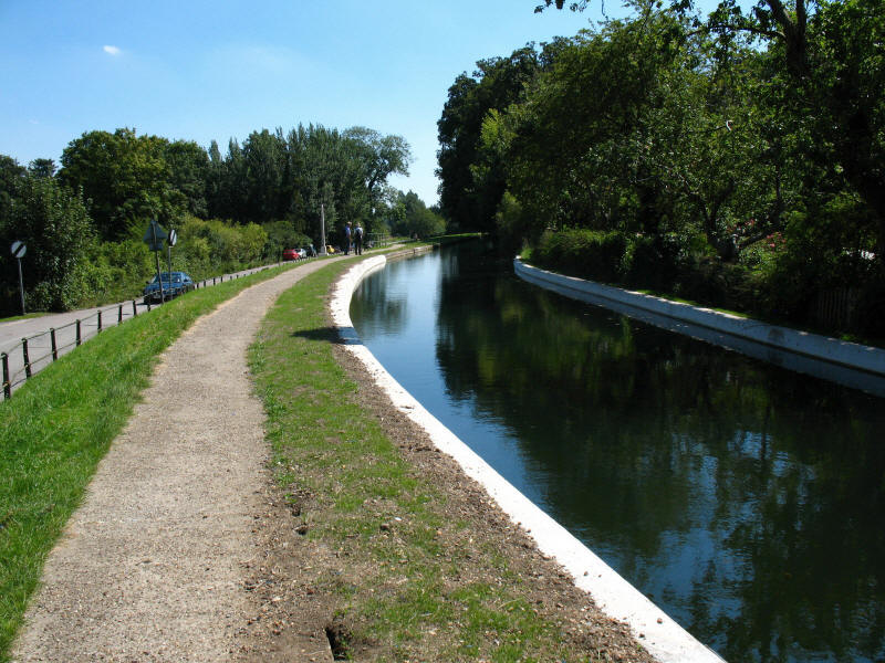
A recently reinforced section of the New River as we leave Great Amwell.

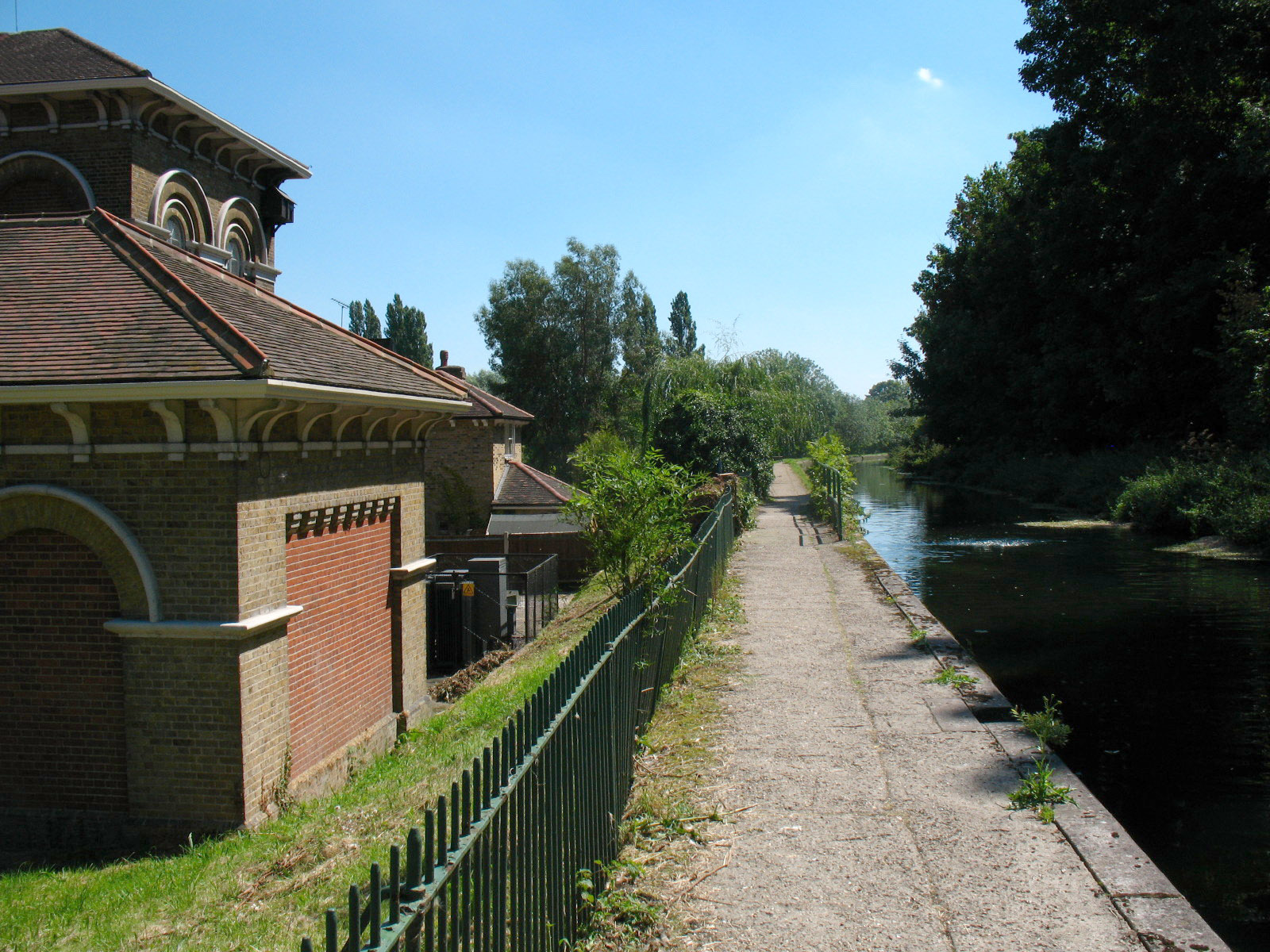
Amwell Marsh Pumping Station, built in 1884. You can just make out the bubbling
in the River where water is entering the water channel.
Total 7.12km including station link - 5.4km of the New River Path; effectively flat, in 1 hour 51 mins (including 21 mins stopped).
The New River Path continues towards
Broxbourne...
|