Thames Path - Chertsey to Kingston
11 August 2007
With another very warm summer's day beckoning, Lucy took Henry and Ellie to a
dog show in Chertsey in Surrey, which provided the opportunity for Stephen and
George to resume their acquaintance with the Thames Path, talking a walk
downstream from Chertsey to Kingston, meeting a section already walked
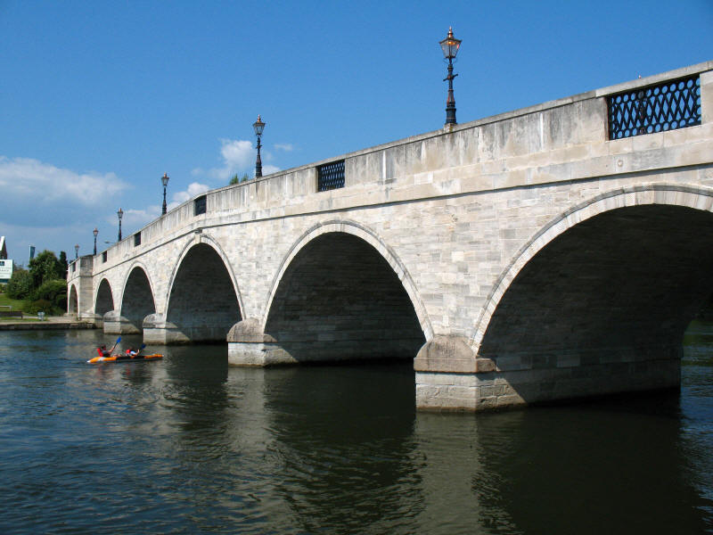
Chertsey Bridge, built in 1780

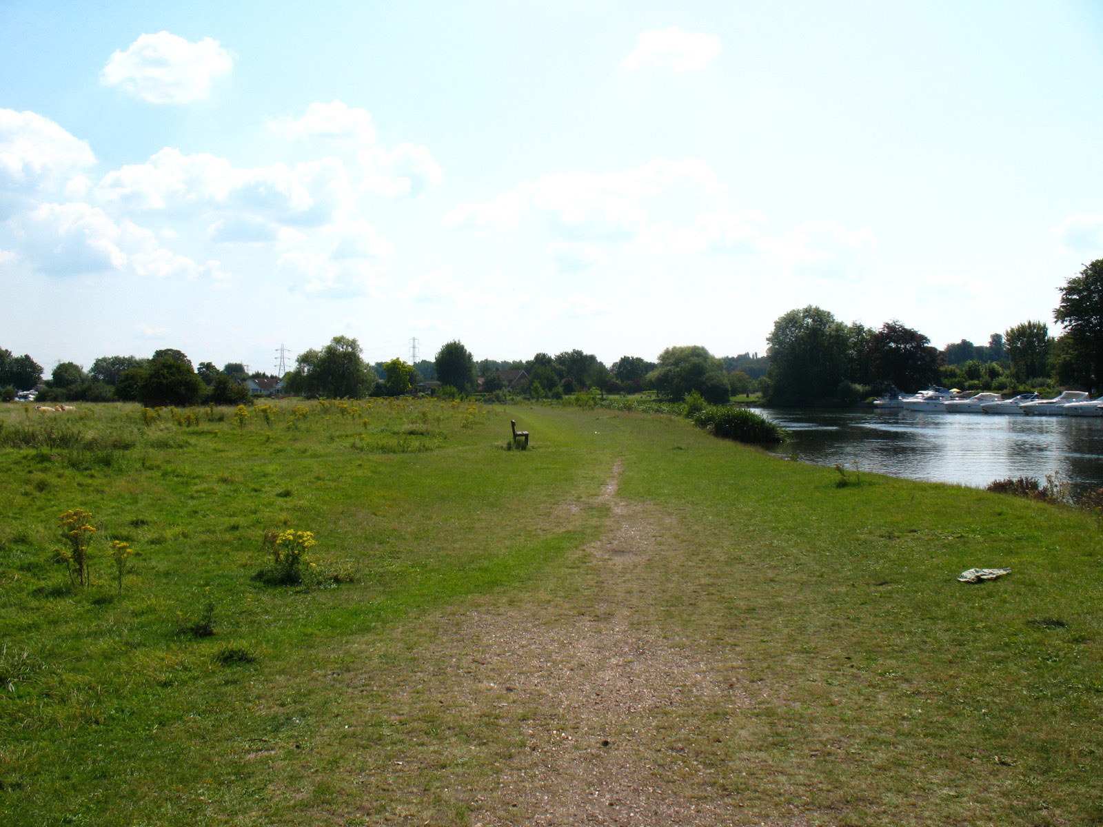
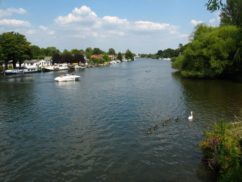
To the south of the bridge is Dumsey Meadow, now the only unimproved grassland
by the Thames in Surrey, and therefore the last on its journey to the sea - it
is grazed by cattle (you can just see two in the distance on the far left of the
photo).
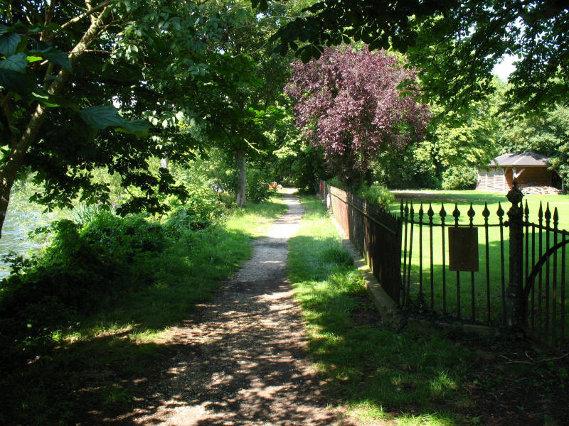
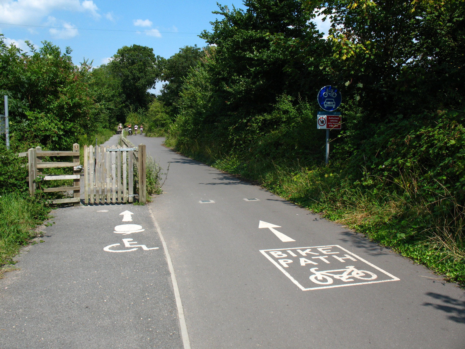
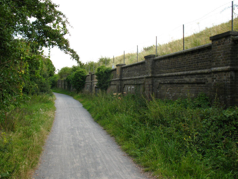
After a short while, we reach this privately owned section of towpath
After an early ice cream at the café at Shepperton Lock, we hoped to take the
ferry. Once many ferries carried the towpath from one bank to the other, but
most have closed and so the Thames Path has to make some diversions. I hoped
that George wouldn't be banned - acceptance of dogs when one is out and about is
very unpredictable. The notice on the bank said that the ferry runs every
fifteen minutes, and to ring the bell to summon it, but only to do it on the
quarter-hour. I looked at my GPS and found it was 1315, so rang the bell, and a
minute later a chap appeared and checked that I wanted the ferry. He was happy
with George, and so here is a view from mid-stream, looking downstream to a
small island.
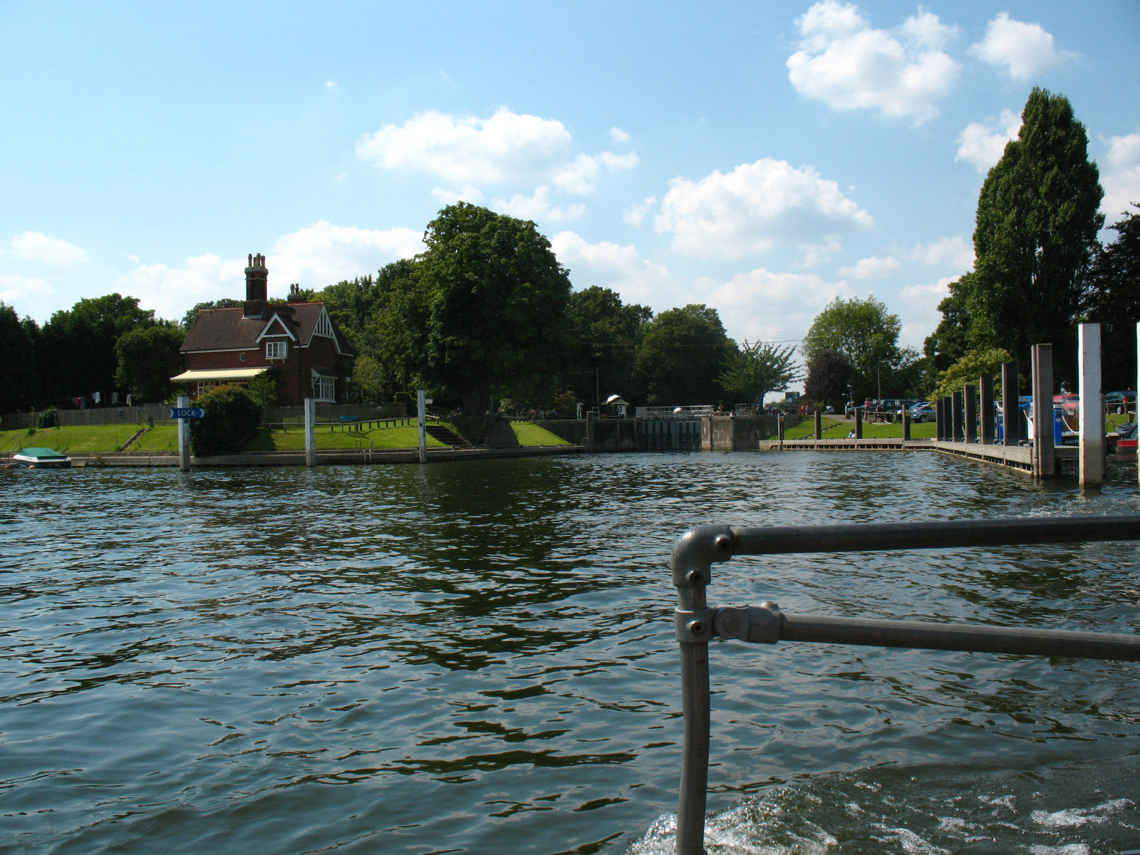
Upstream to the lock and lock island from the ferry

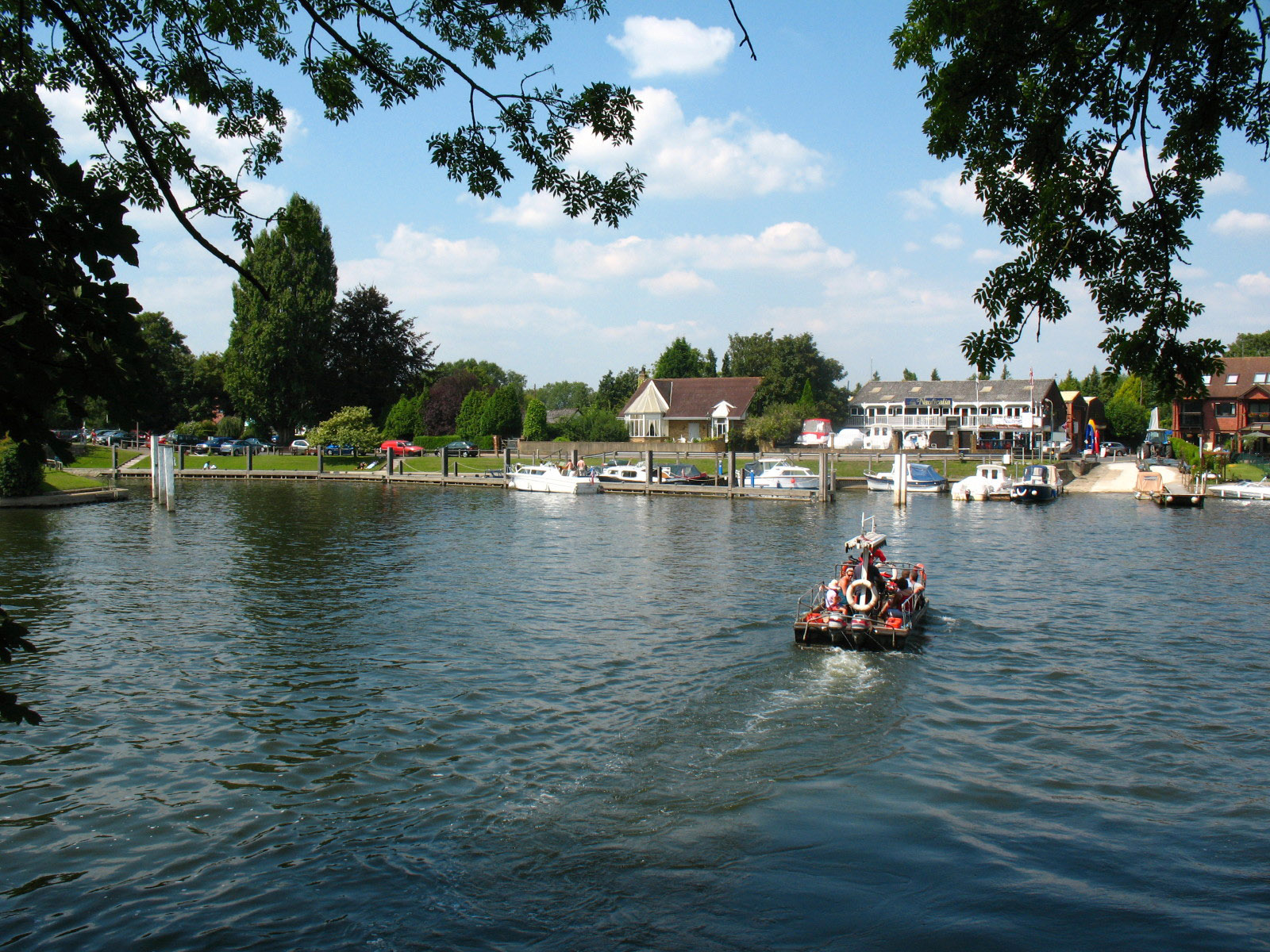
With us safely on the south bank, the ferry takes a group of people to the north
bank.
After a walk along the straight Desborough Cut, which bypasses some extravagant
loops of the original course of the river, we pass under Walton Bridge and now
over a small bridge over the entrance to Walton Marina.
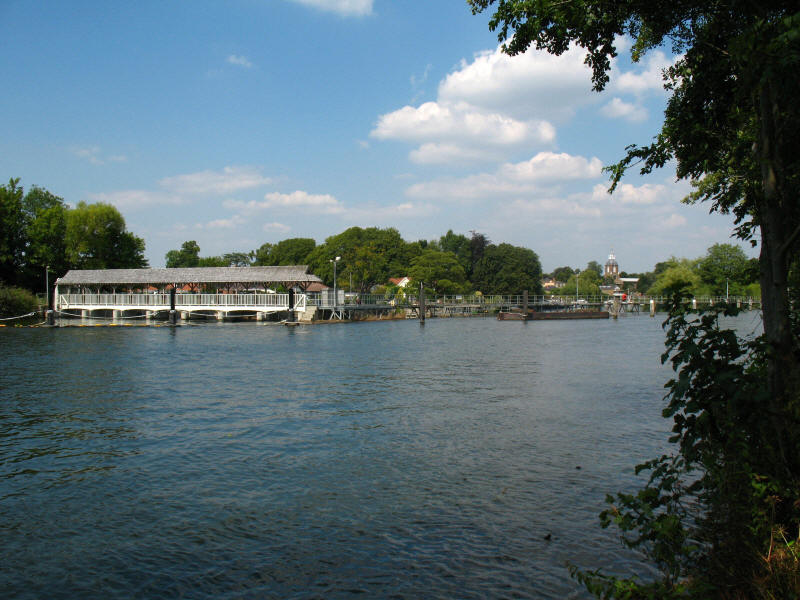
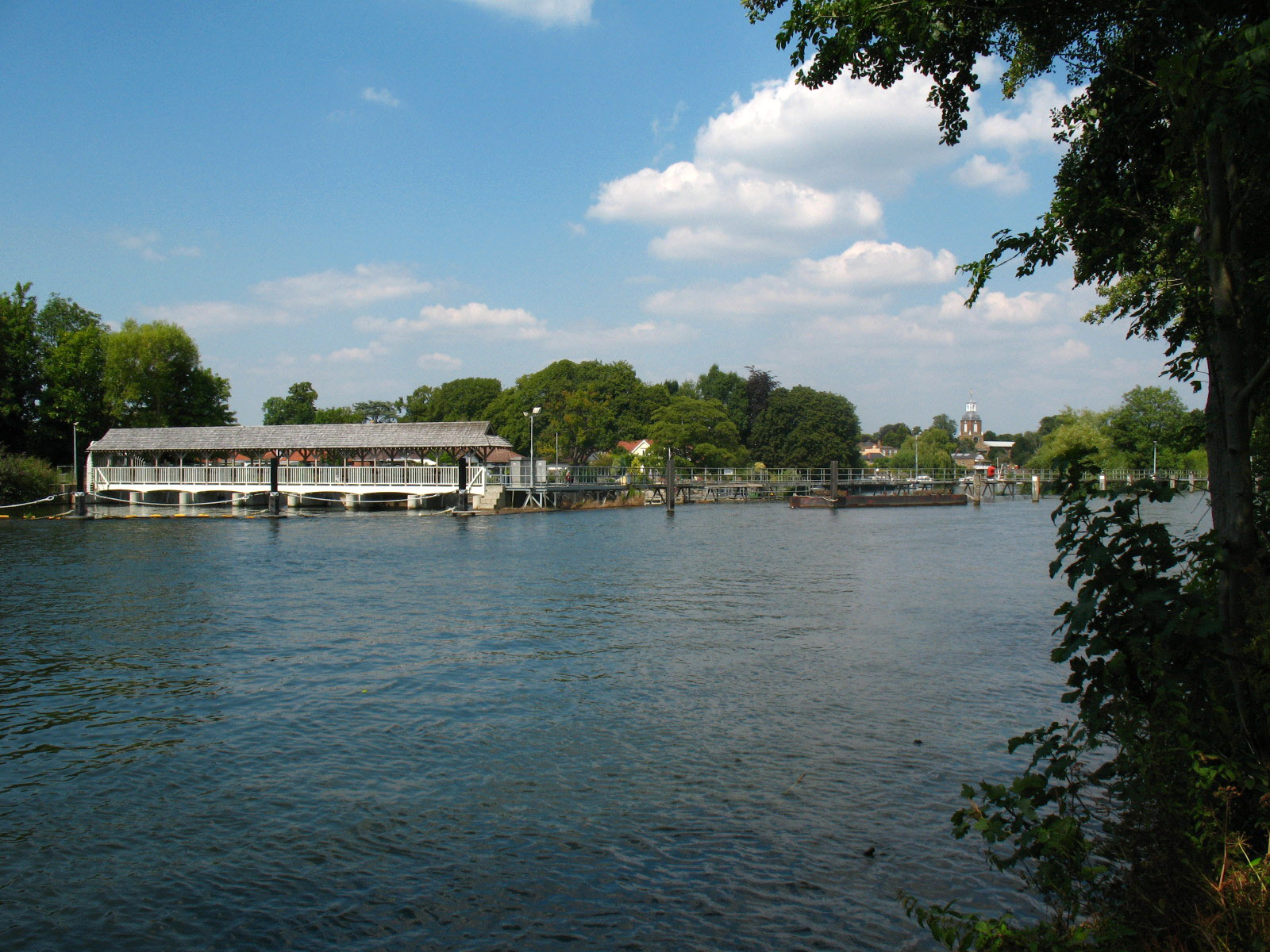
The covered weir on the left as we approach Sunbury Locks, with the tower and
cupola of Sunbury church visible on the right

Options depending on one's mode of transport. It is somewhat cryptic - ordinary
walkers need to know that the National Trail symbol is the acorn, and so should
follow that.
The larger of the two Sunbury Locks
The twin entrances to Sunbury Locks, looking across to some of the houses of
Sunbury.

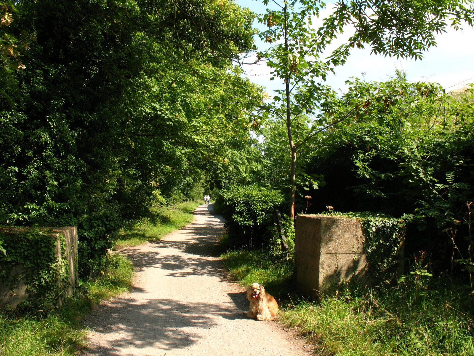
George pauses between concrete blocks, remnants of London's anti-tank defences
from the Second World War.
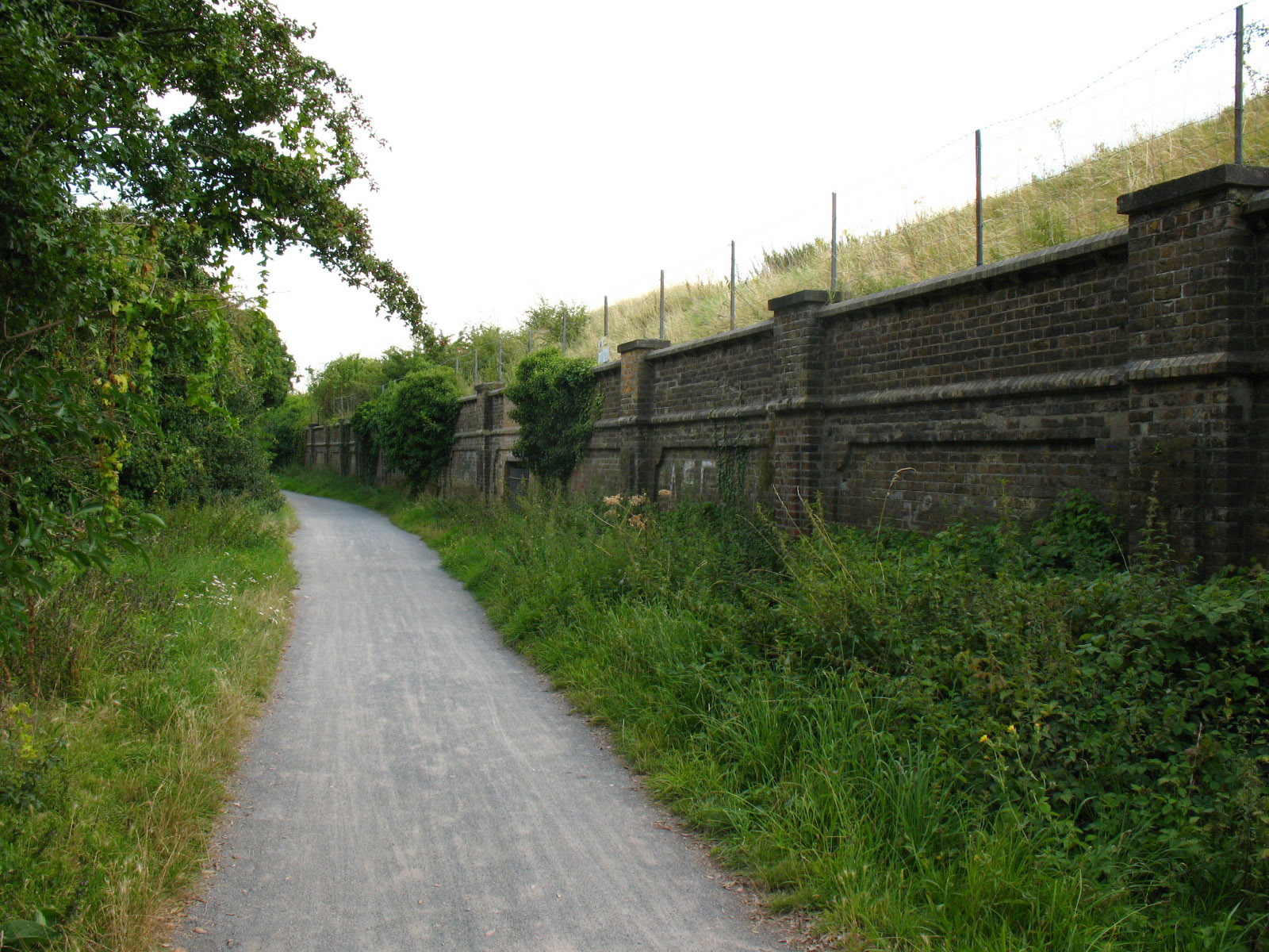
Along this stretch of the path, there is a series of reservoirs on the right,
behind high banks and walls, a section the guidebook describes as
"claustrophobic". I think that is rather over stating it, but it does constrain
the views and is more monotonous than claustrophobic.
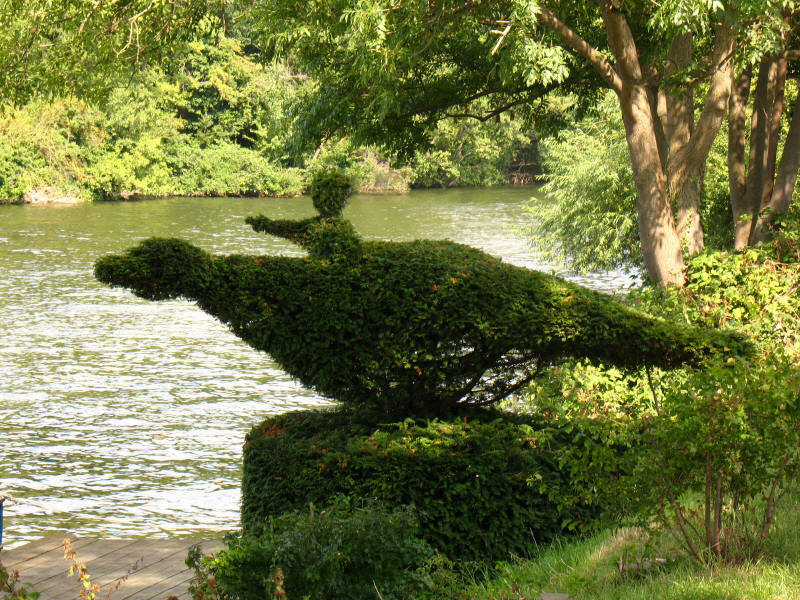
An unusual topiary - a man flying on a dragon???
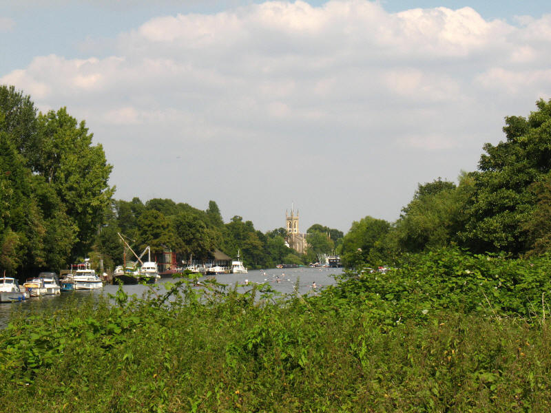
As we reach Hurst Park, a look along the river to the church of Hampton

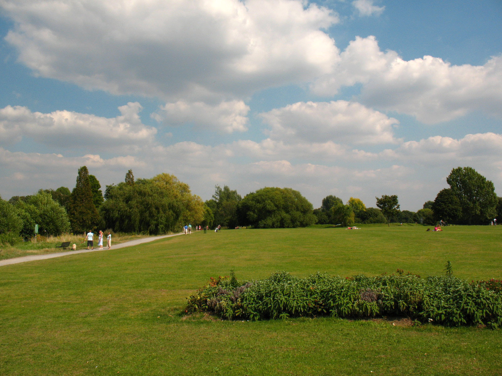
The grassy public area of Hurst Park. Archaeological digs show human habitation
here from 6000 years ago. The first written records dates from 1249 when it was
lammas land, where hay was made in spring and commoners grazed cattle after
Lammas Day (1st August). It was the site of a racecourse from 1891 to 1962:
houses have been built on part of the area, and the rest is open grassland, with
an ice-cream van which provided our second ice-cream on this hot afternoon.
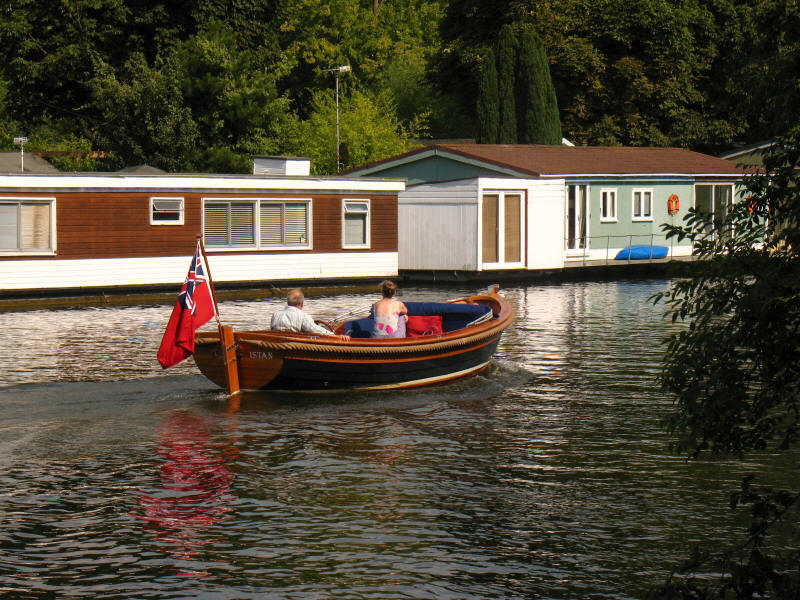
A beautiful wooden boat makes its way past less attractive houseboats.
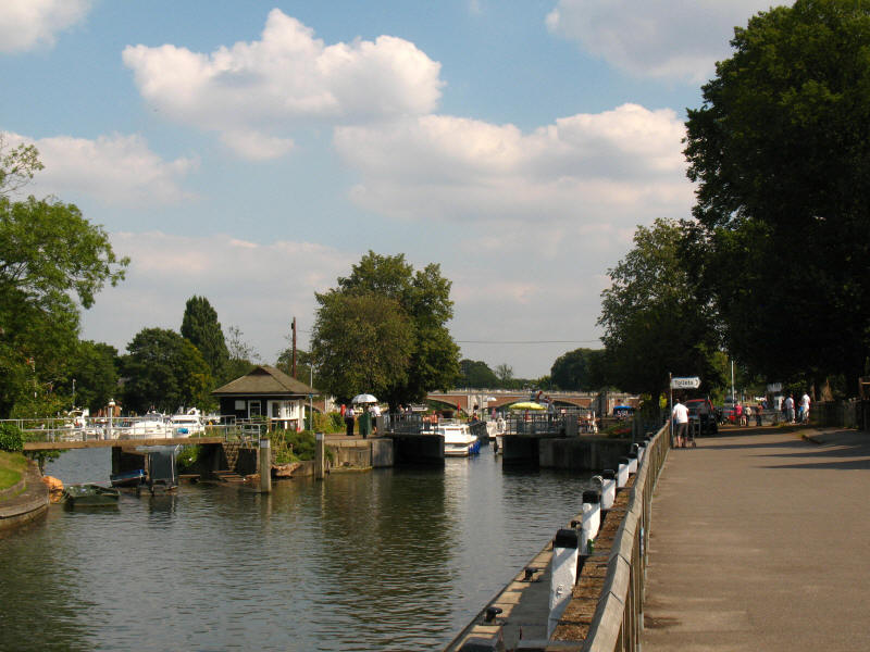
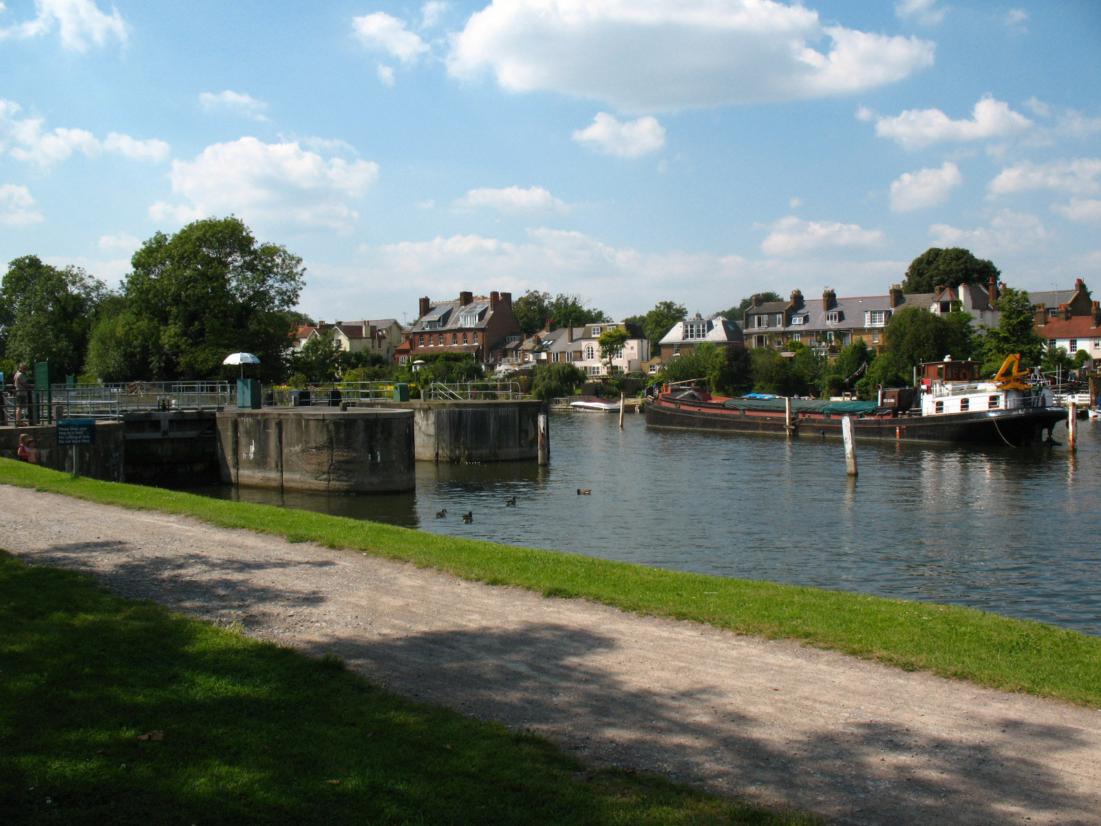
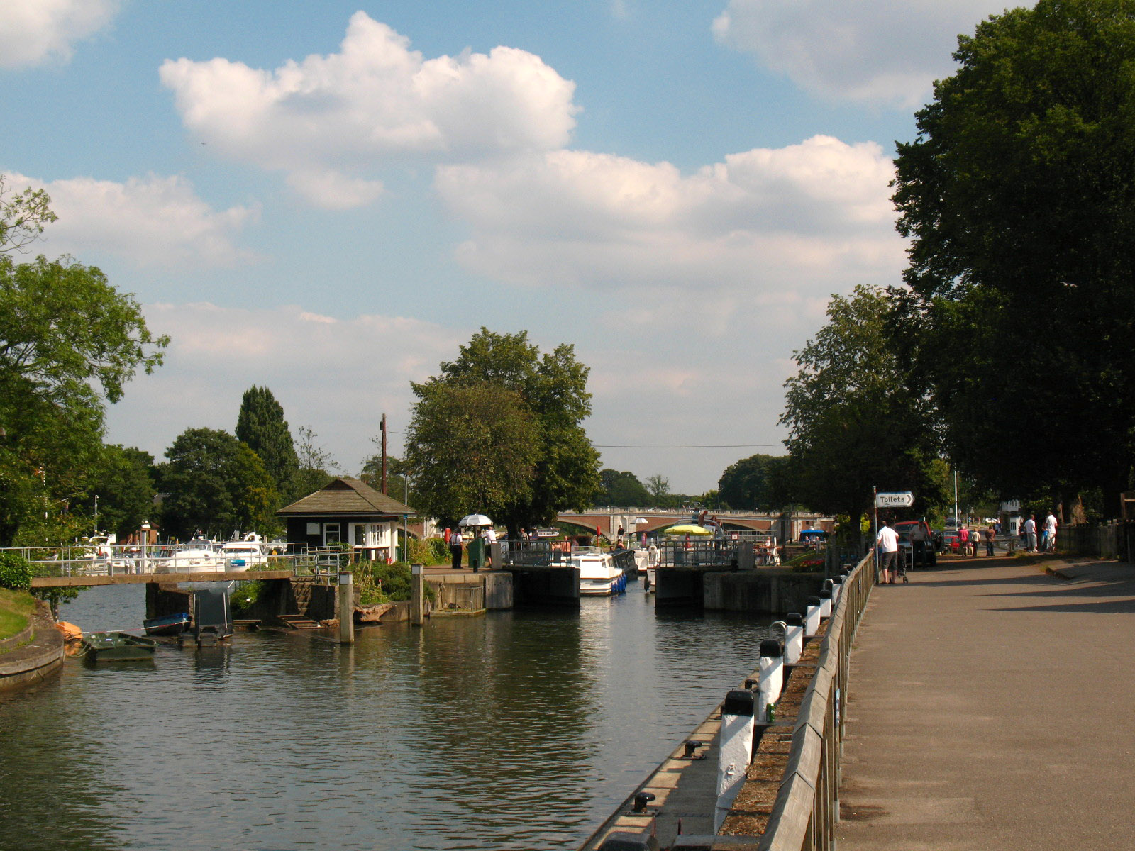
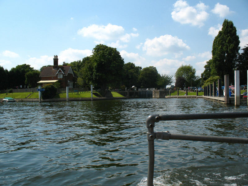
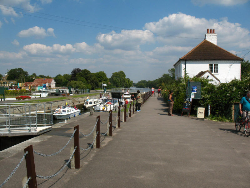
Here we have reached Hampton Lock, with Hampton Bridge beyond it.
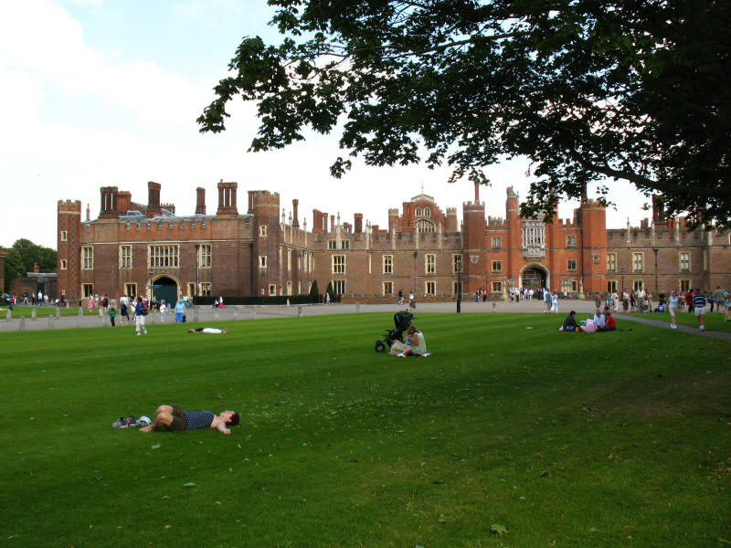
The western end of Hampton Court Palace, the Tudor front of Cardinal Wolsey's
time
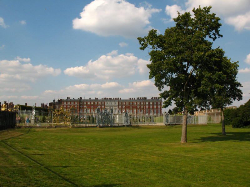
The south wing of Hampton Court Palace designed for William by Wren, recently
restored after the fire. From here we follow a long curve of the river around
the edge of Hampton Court Park.
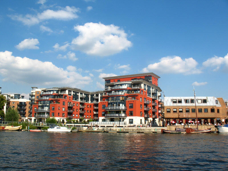
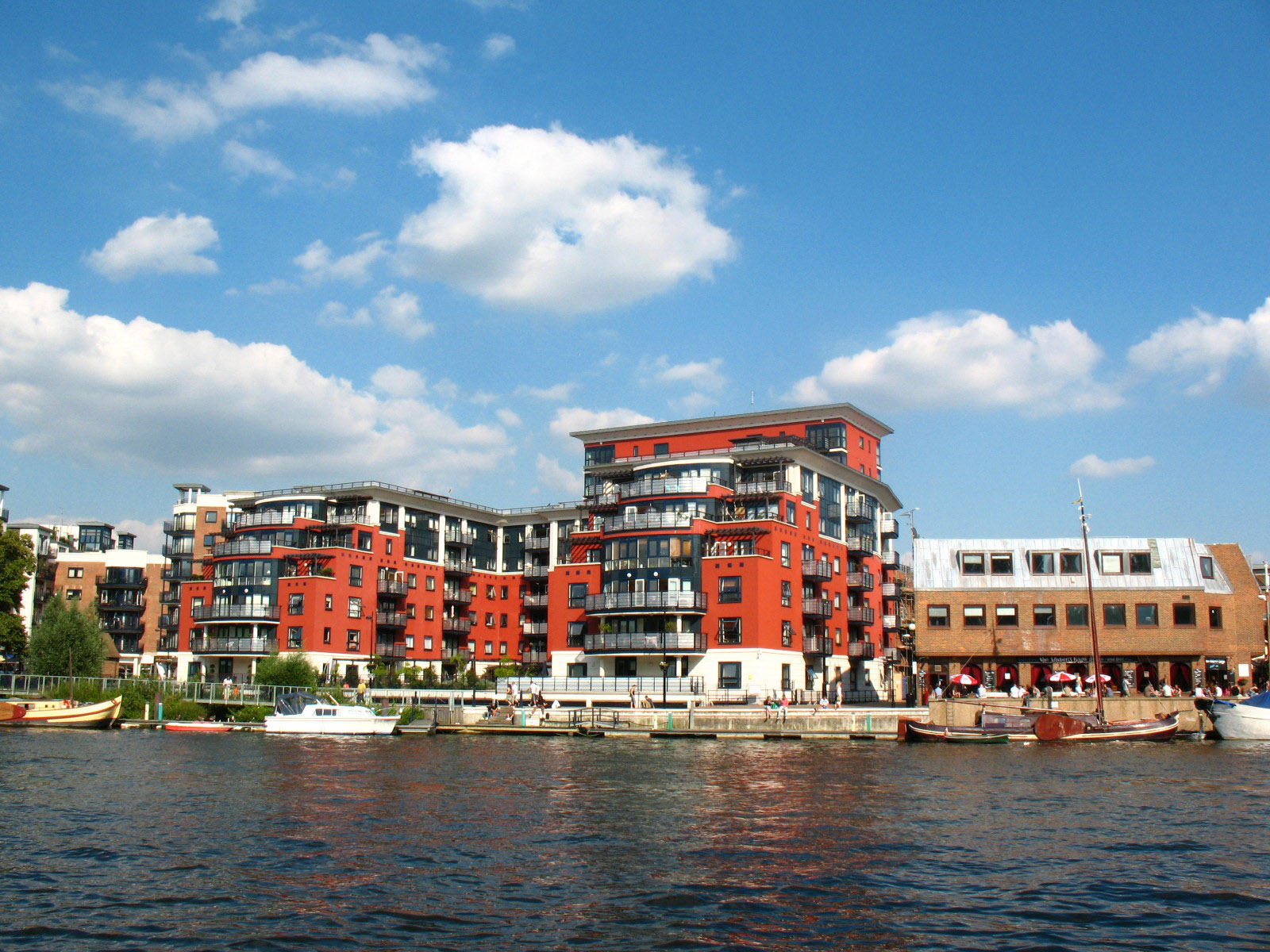
Modern apartments in Kingston
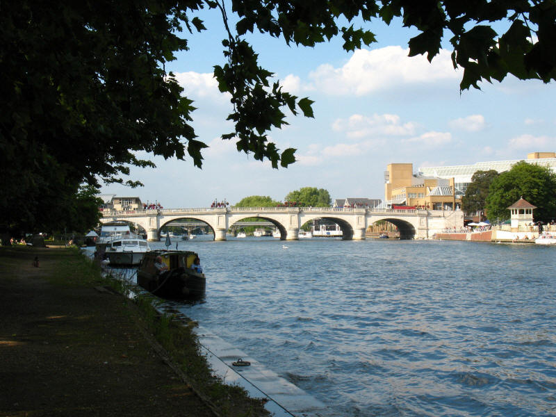
Eventually, after what seems like a very long time, Kingston Bridge comes into
view, and marks the end of this section of the Thames Path, with Lucy waiting
nearby to pick us up. The London Loop
crosses the bridge, and the Thames Path continues on
the other side towards Kew.
Total distance 18.0 km (17.8 km on the Thames Path)
in 4 hours 28 mins (including 49 mins stopped).
 

|