Norfolk Coast Path 3: Burnham Overy Staithe to Stiffkey
11 January 2014
A beautiful January day took George and me to Stiffkey from where we
got a bus to Wells and then another to Burnham Overy Staithe to start
our walk.
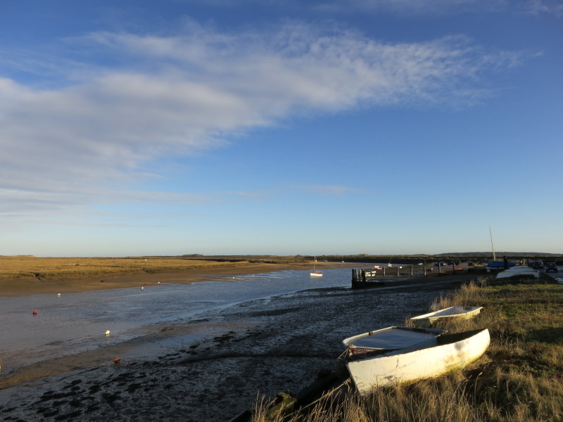
The eponymous staithe
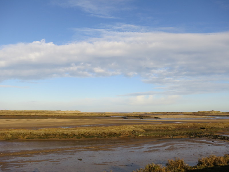
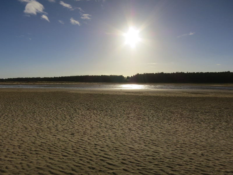
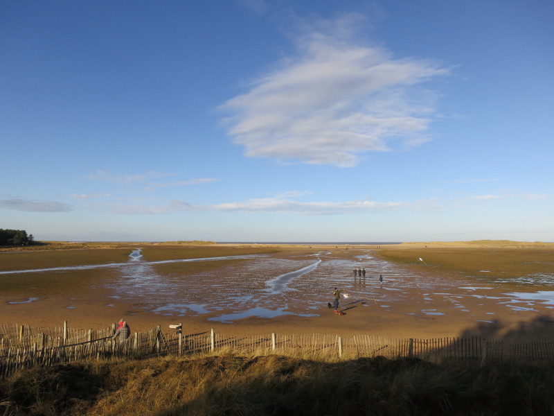
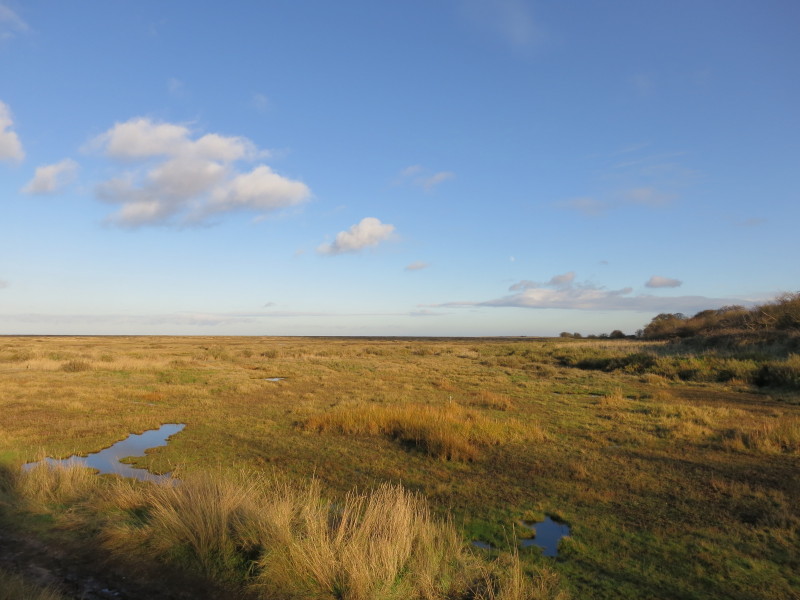
Across the sands and marshes around Overy Creek, the sea can be glimpsed
about 2 km away
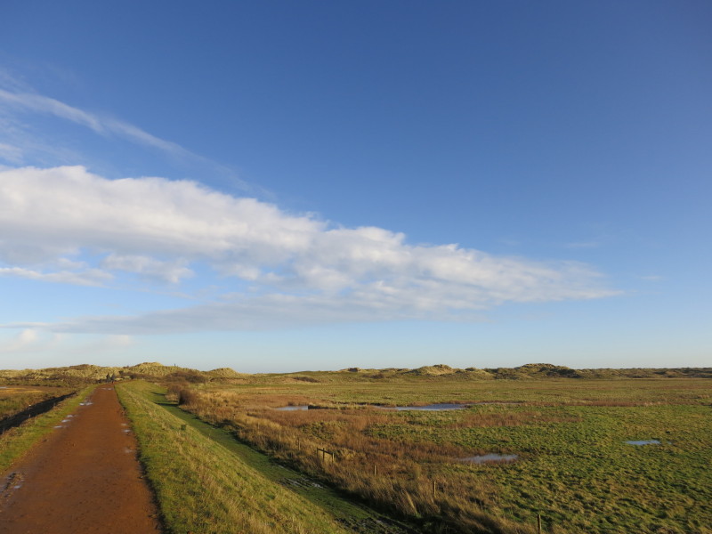
The walk along the flood wall is easy going, and heads for the dunes
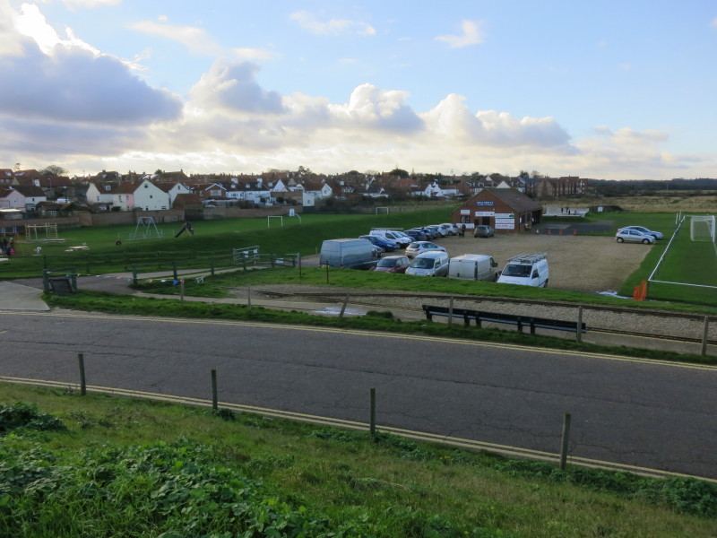
Looking back as we prepare to crest the dunes, Burnham Overy Staithe can
be seen in the distance
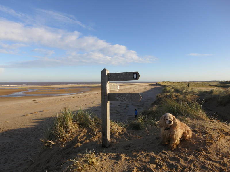
On top of the dunes, where the route of the Norfolk Coast Path takes to
the beach
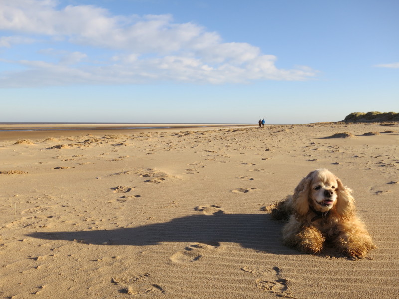
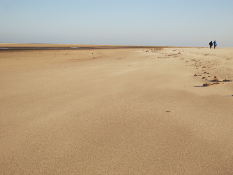
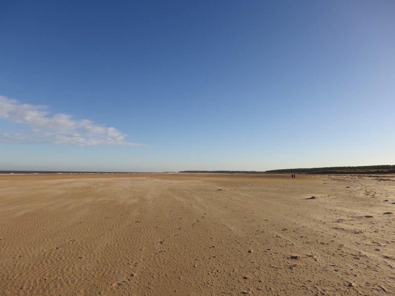
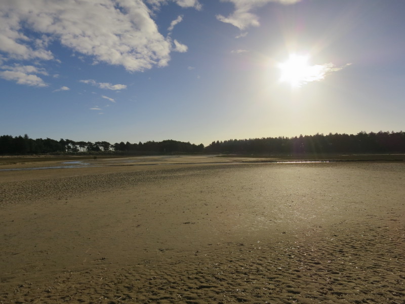
The sand is delightful to walk on, and with the exception of the two
people in front of me we have the beach to ourselves
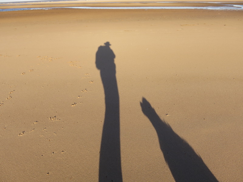
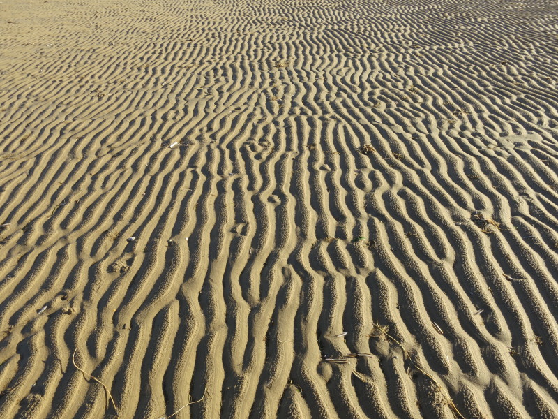
The wind is blowing the sand around - this still picture doesn't really
capture it properly
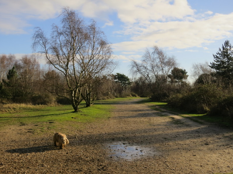
Man and his best friend
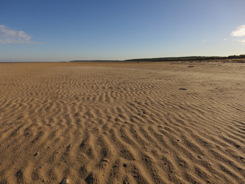
All that space, and all those ripples in the sand, plus the blowing
light sand over the surface
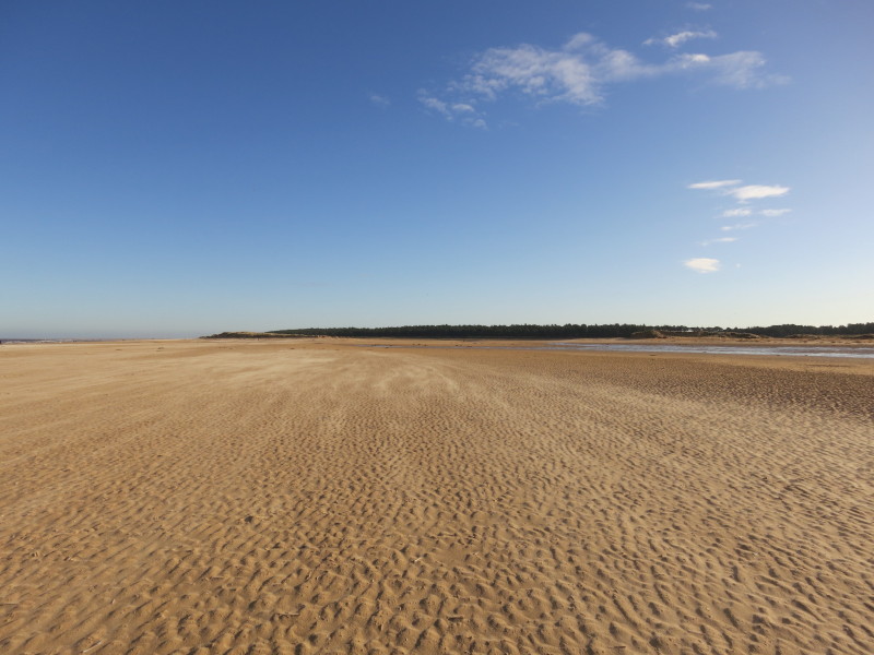
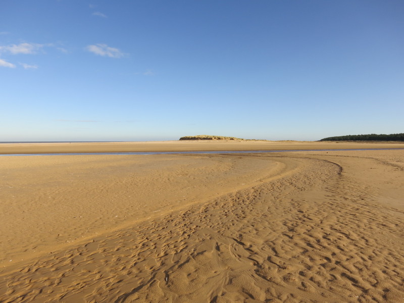
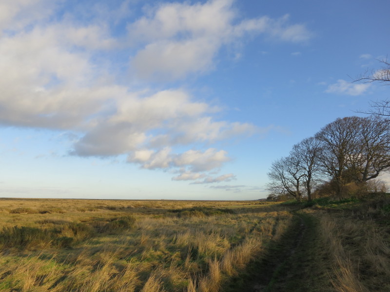
We're approaching Holkham Meals and Holkham Gap. The official route
stays rather closer to the dunes, but we kept along this fine route
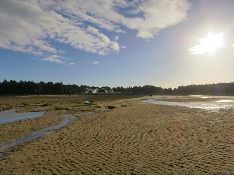
Officially we should probably be on the other side of that water
Here the creek poses a minor barrier - it would be easy to cross, but
not dry-shod. So we turned inland back to the official route.
But the going is getting damper, and the wisdom of sticking to the
official route is growing on me
Again, nothing difficult, but a bit damp and squelchy in places -
perhaps better with Wellingtons
Safely on the shore proper, it doesn't look significantly challenging,
but it was a puzzle to reach firm ground with dry feet, a slightly
frustrating end to what had been a glorious walk along the beach
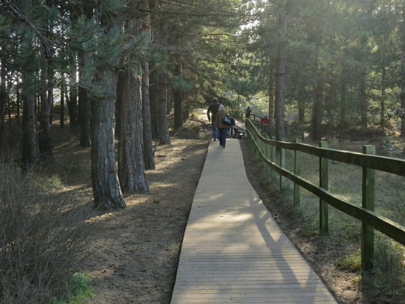
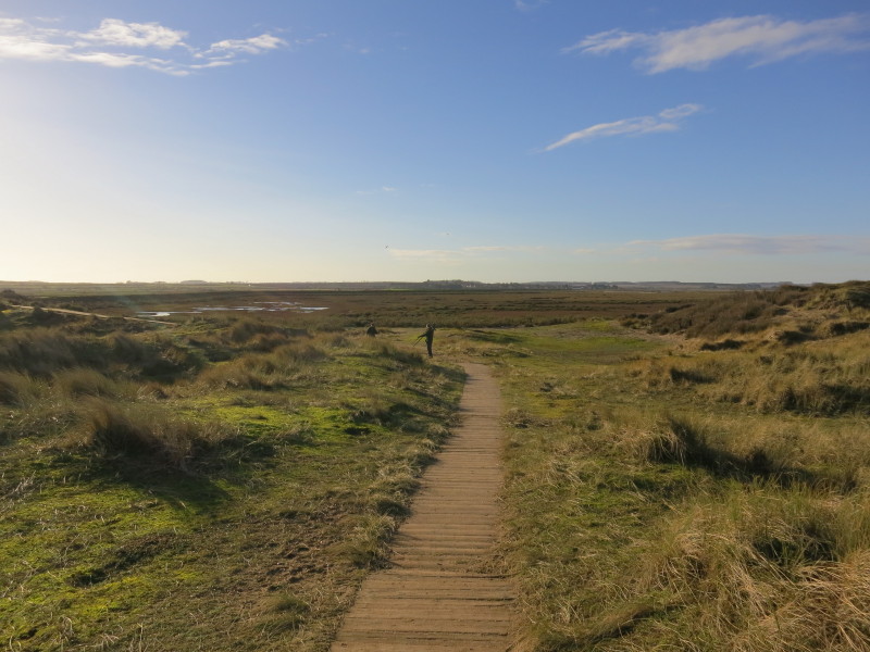
A board walk takes us to the Holkham Gap car park
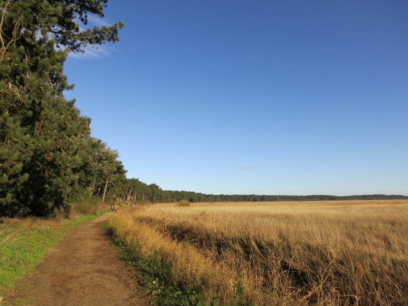
From there, a path runs initially along the back of the narrow woodland
strip, perhaps planted to reduce dune erosion.
Eventually the path enters the pleasant woods and we stop for lunch
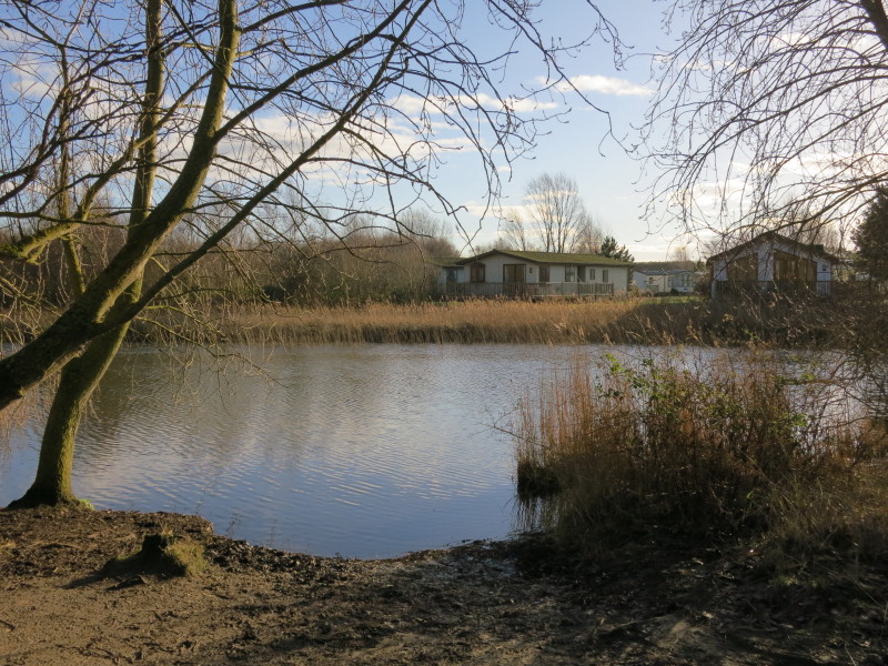
Passing a camping and holiday home site shows that we have almost
reached the Wells Bank
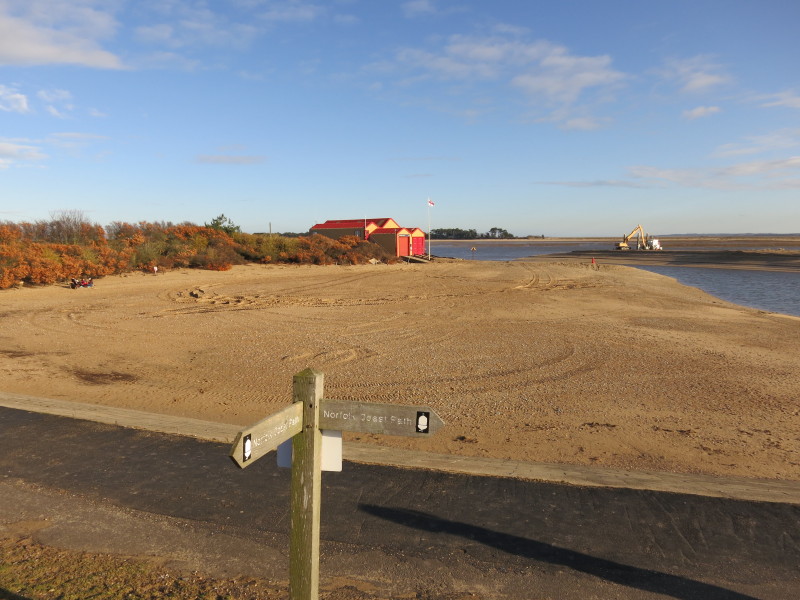
On The Bank, where the Norfolk Coast Path turns south to the town. Some
dredging is going on to keep the passage open for boats.
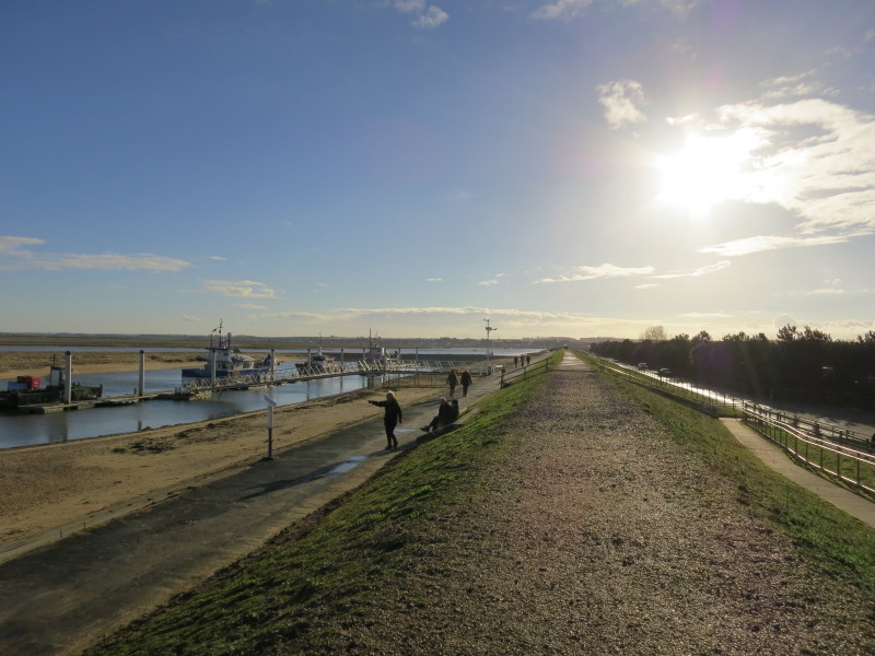
Looking south along The Bank to the town
Approaching Wells-next-the-Sea
A miniature railway runs the length of The Bank: here is its southern
terminus
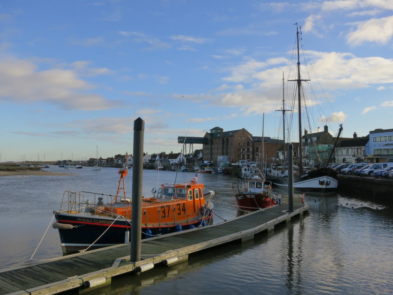
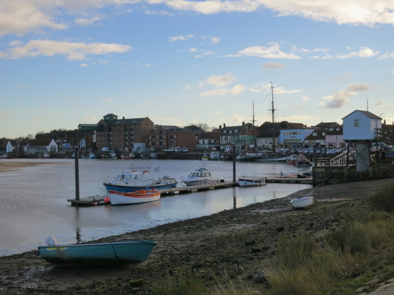
The harbour at Wells
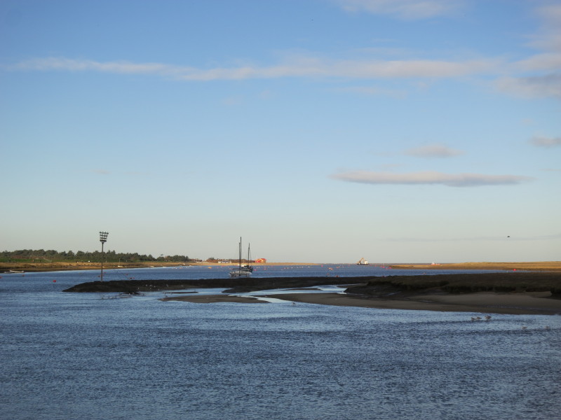
From the harbour looking back along The Bank and The Pool to the sea.
The remainder of the walk is almost entirely east, initially along the
sea wall with a good surface, later to become extremely muddy and
difficult to walk on.
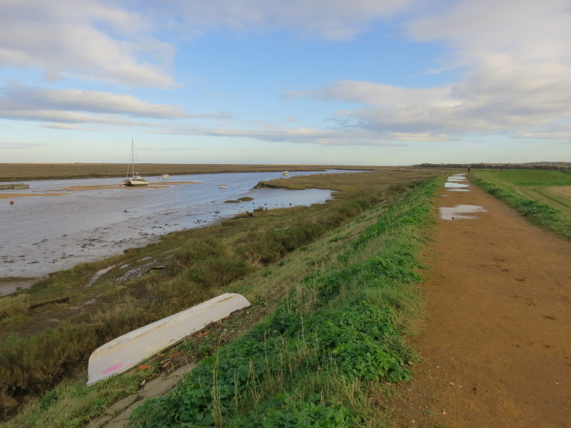
The salt marshes of Wells, Warham and Stiffkey are my companions for the
remainder of the walk
The path is now grassy as it sticks to the back of the salt marshes
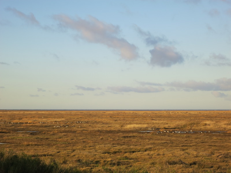
Some of the many birds on the salt marshes
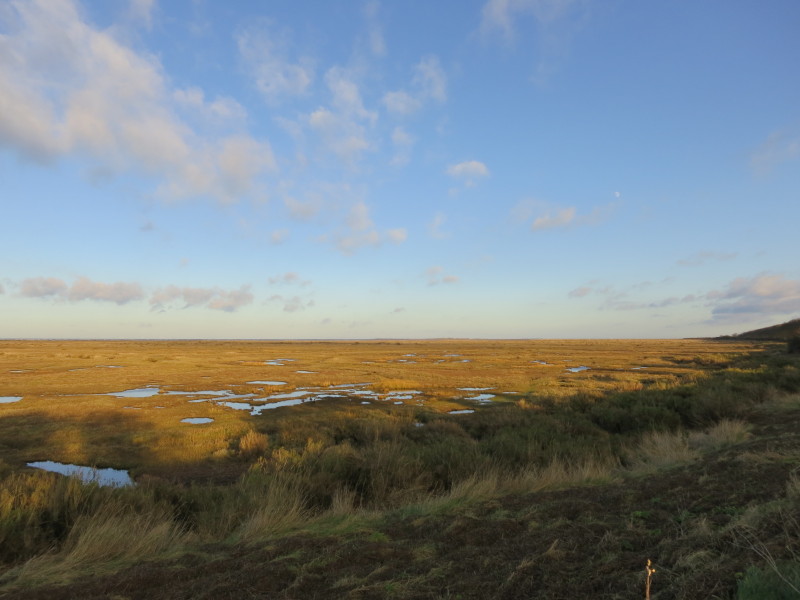
A last look at the marshes before turning inland for the 800 metres
across fields to the village of Stiffkey, after a really lovely walk.
Total walk was 18.5 km in 4 hours 29 mins (making 17.2 km of
progress along the Norfolk Coast Path)
|