Norfolk Coast Path 4: Stiffkey to Salthouse
18 April 2014
I last came to the Norfolk Coast Path in January, but
I was aware that the section between Cley and Blakeney had been badly
damaged by the storm surge in December. I was therefore pleased to read
that it had reopened, and so on Good Friday George and I headed for
Salthouse at the end of our proposed walk, ready for a bus to Stiffkey
at the start of the walk.
It was supposed to be dry today, so I was a bit
miffed while we were waiting for the bus to be rained on. The bus when
it did turn up, slightly late, was standing room only, and it gradually
got worse as more people piled on at every stop, and of course from time
to time people wanted to get off – letting them past in the narrow aisle
with a rucksack on my back and George to look after was not easy, and I
picked him up and then almost fell with him into someone’s lap as a
woman trying to get off pushed past me. As we exceeded the maximum
permissible number of people standing on the bus and still more people
were trying to crowd in, George went to visit a couple of nice women
sitting down while I tried to get ever further back to let more people
on the bus. When we got to Stiffkey (pronounced Stewkey), it was quite a
challenge to get out of the bus, carrying George, trying to squeeze past
people, all the while the bus manoeuvring in someone’s driveway to try
to let a fire engine past. We were both glad to get off that bus!
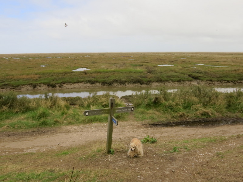
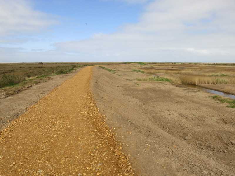
We walked along the lane to the coastal path, picking up where we left
off in January.
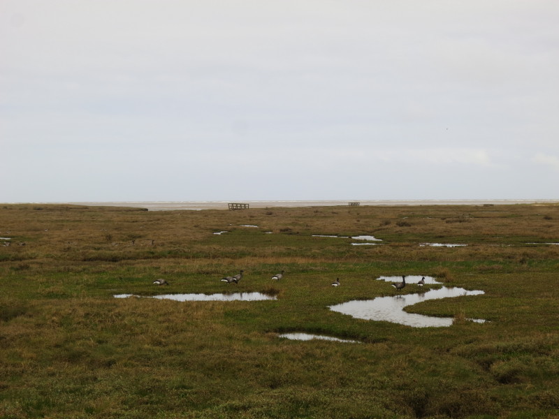
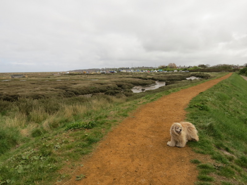
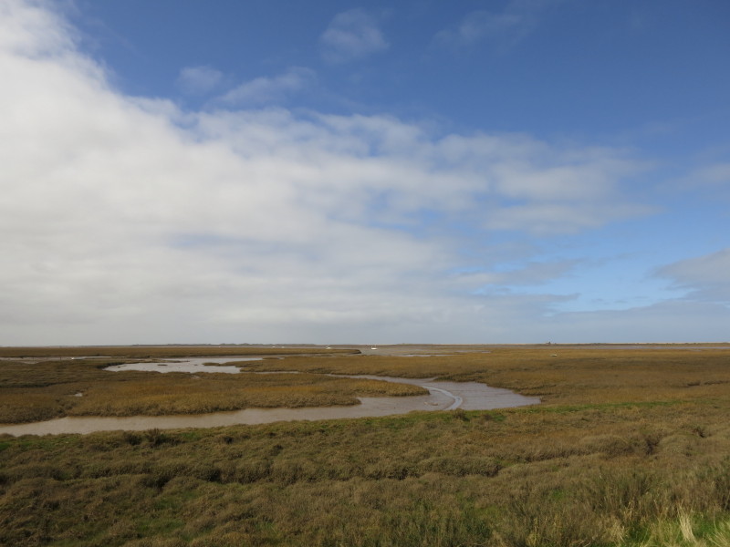
Looking across the marshes to the sea
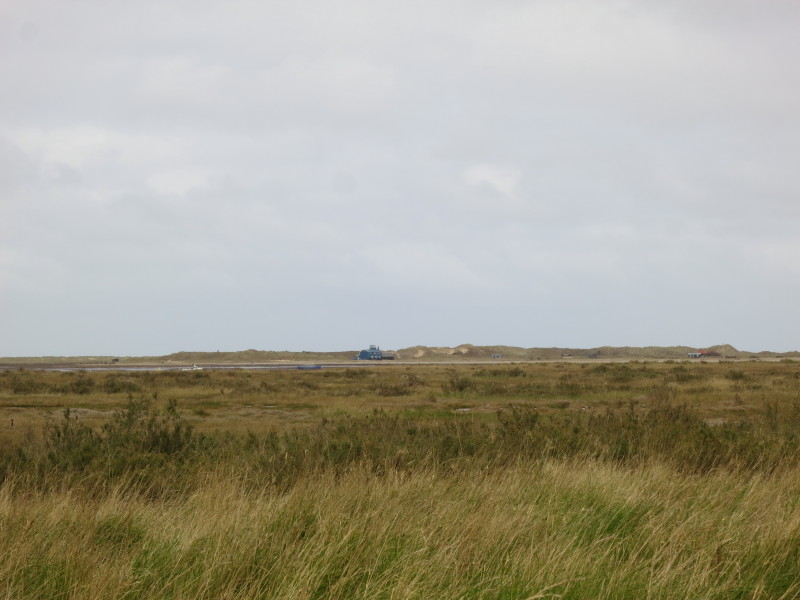
Looking across the river of Blakeney Pit to the buildings by the dunes
on the far side
Approaching Morston
As we near Blakeney, the first signs of repaired sea wall
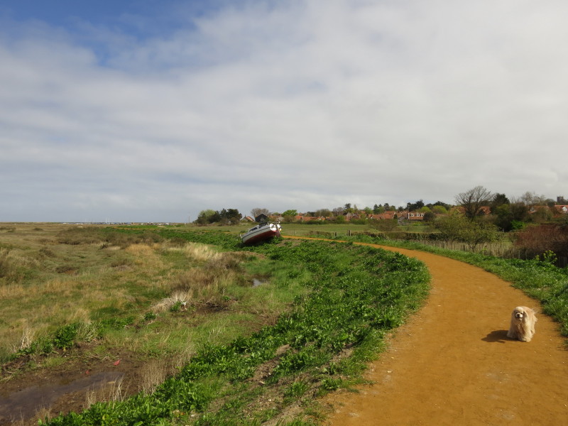
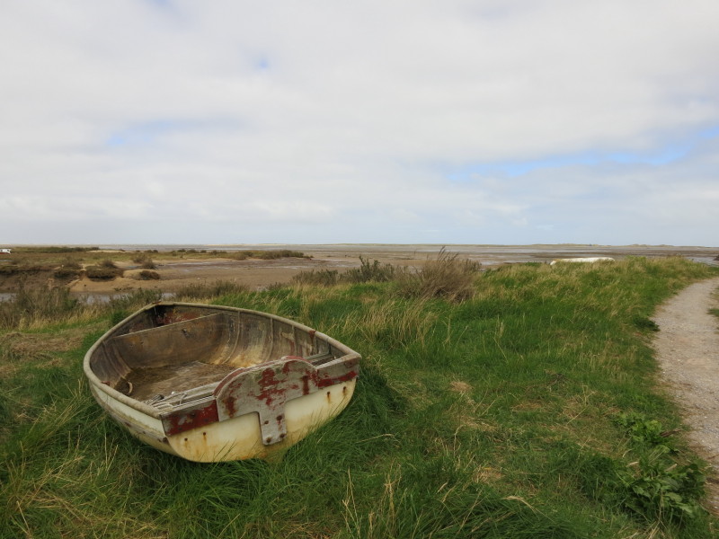
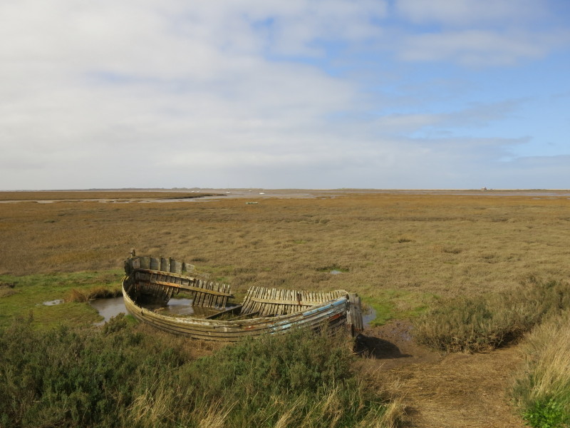
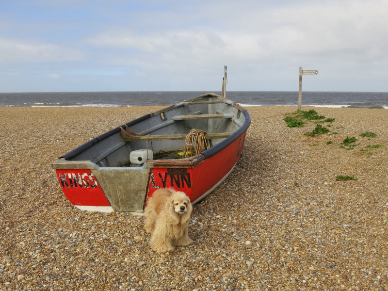
A boat where it shouldn't be
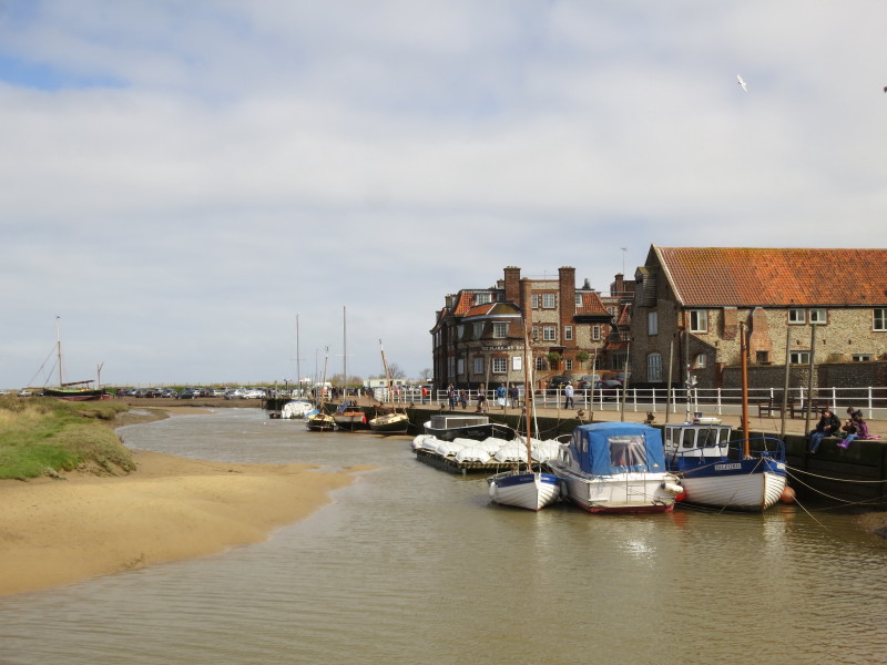
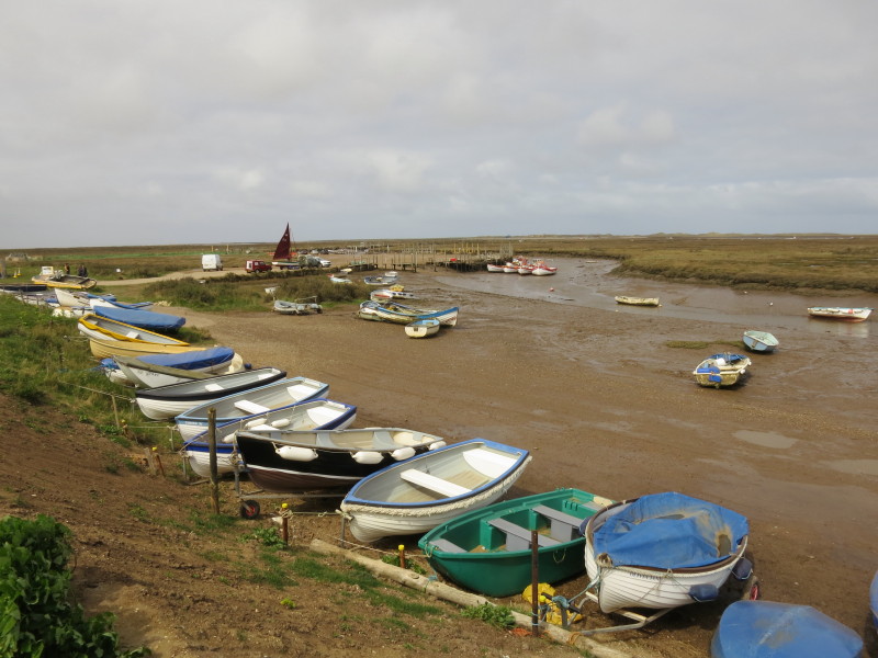
The harbour at Blakeney
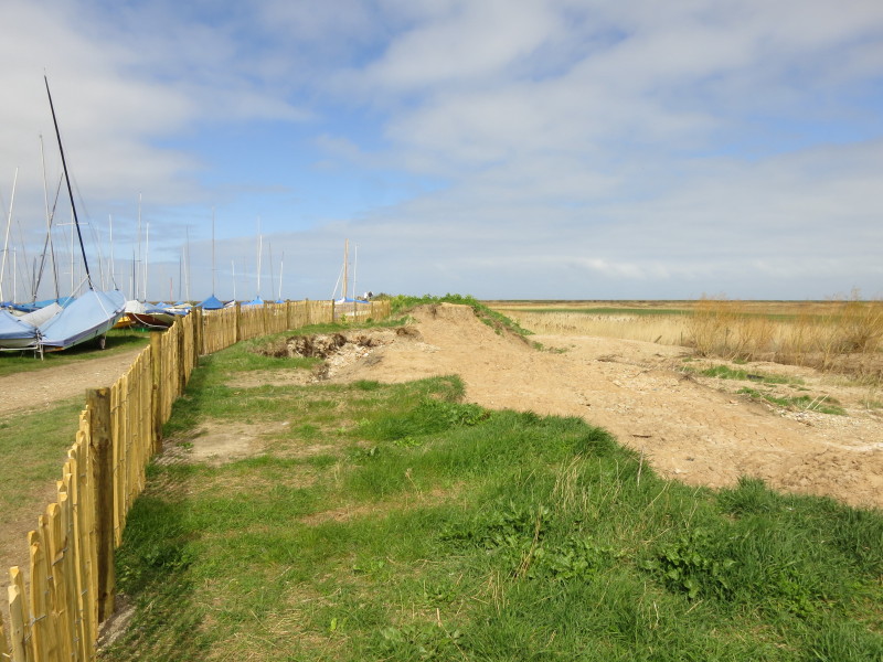
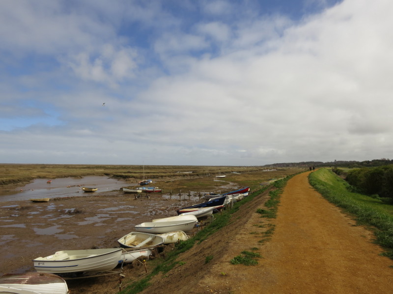
From the harbour road, the path turns left to run north towards the sea.
It should be running along the top of the sea wall here, but the sea
wall has been washed away - you can see the height it should be in the
middle distance.
I learned that what has just reopened is the coastal footpath, while
decisions are made on what to do about the sea wall. That's good news
for us today, but a little concerning that the flood defences, which
clearly weren't up to the job in December, are now several feet lower,
and no decision has been made to rebuild them even at their previous
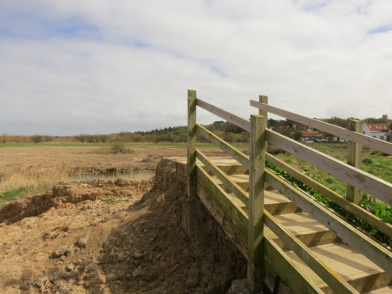
height, let alone anything higher. The sea wall should continue from the
right of picture past the top of the steps and across the rest of the
picture to the left.
This section has been rebuilt
Looking out to sea along the Blakeney Channel
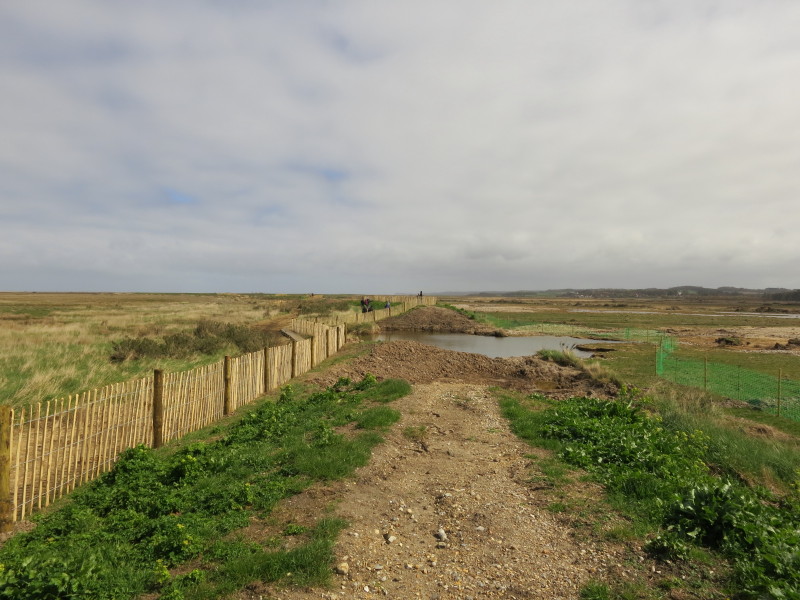
A look along the sea wall - or what is left of it. A nice (if narrow)
boardwalk has been built to the left of the fence, providing a solid
route for pedestrians, for which I'm grateful. But surely even moderate
high tides will submerge it - indeed in places the boardwalk was already
under a thick layer of sea-borne vegetation.
Sadly it would not surprise me to find that future works are to build a
safe footpath on the inland edge of the marshes, and let nature take its
course with the old sea wall. The rational person in me accepts that it
may not always be the best use of public funds to spend large sums
defending bits of marshland (presumably once used as more productive
farmland), but the emotive side of my brain isn't happy about it.
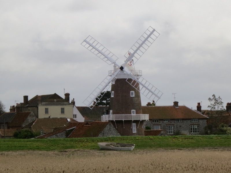
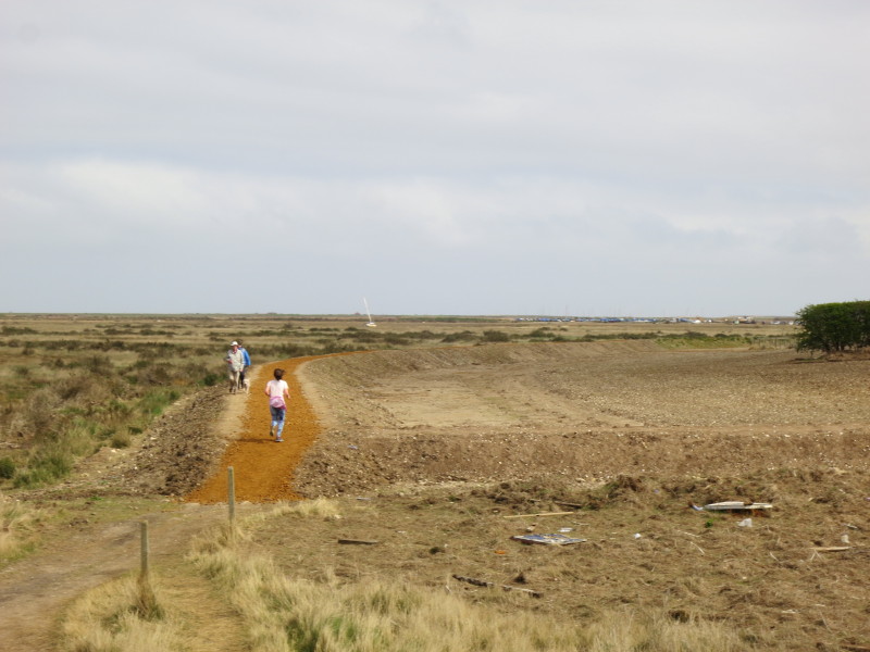
Our big loop round Fresh Marshes is almost complete, and we are nearing
Cley next the Sea and its windmill
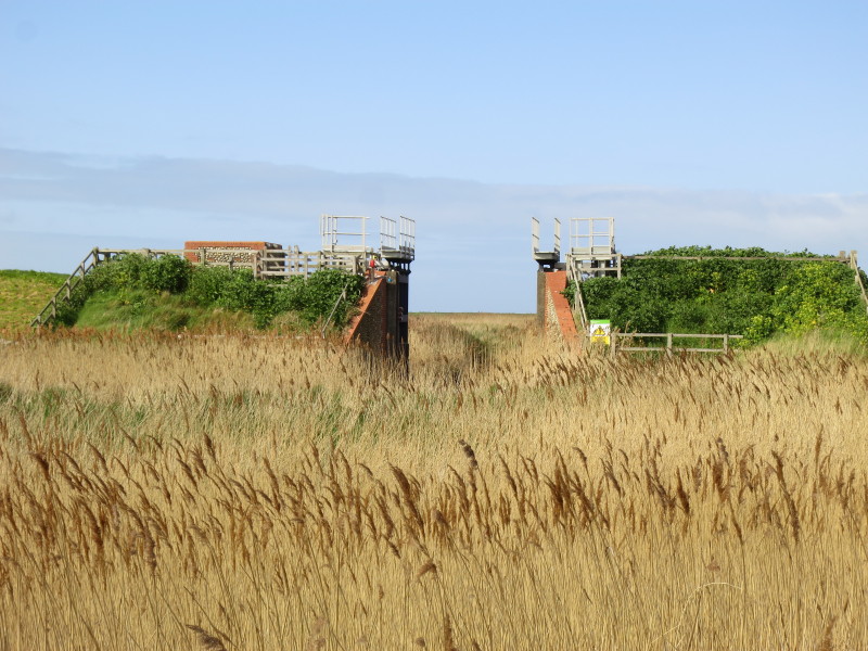
The now permanently open lock gates
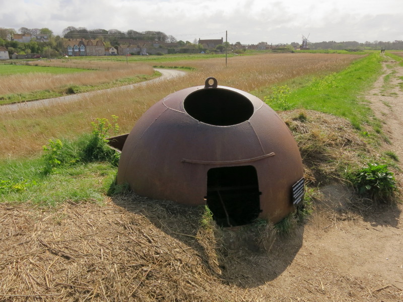
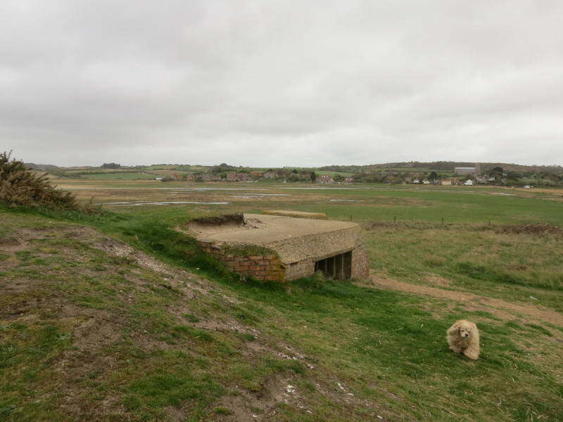
This is one of 199 Allan-Williams turrets built as pre-fabricated
defence structures, allowing rotation and thus all-round firing of a
machine guns through the lower window or (against aircraft) through the
upper window.
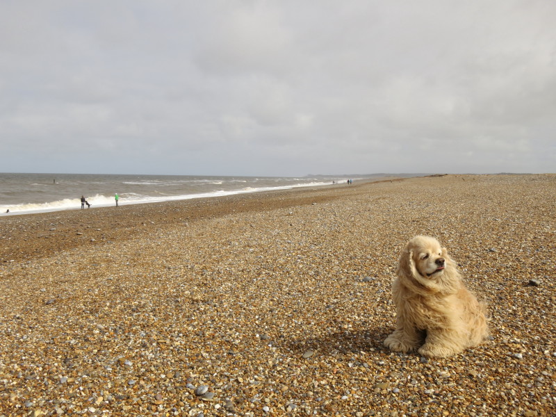
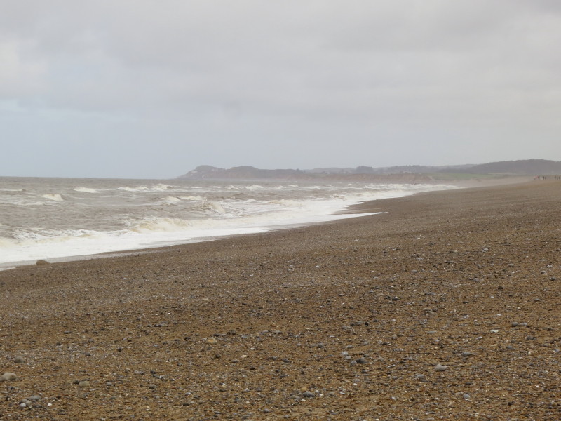
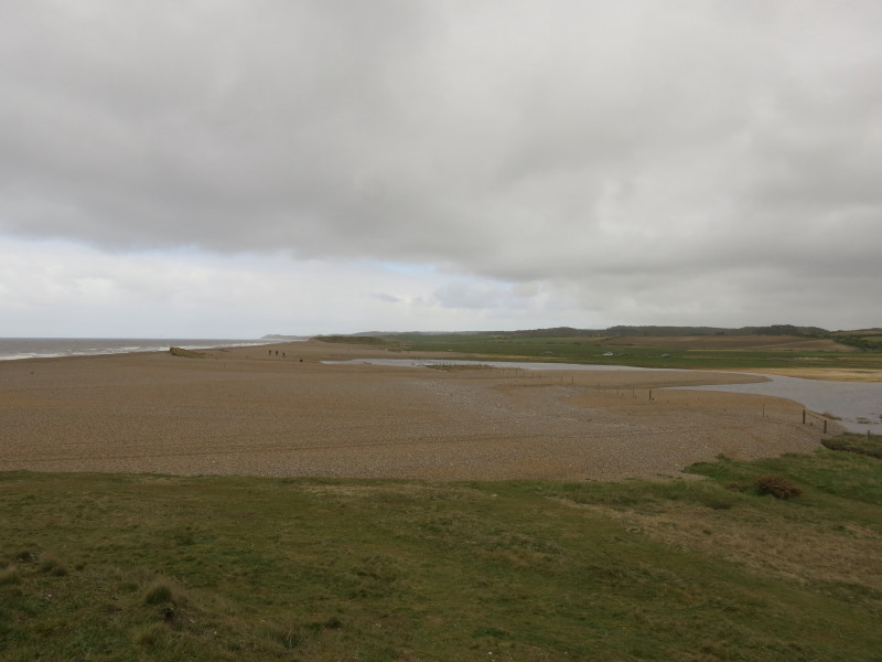
We have finally reached the sea proper, and the remainder of today's
walk on the Norfolk Coast Path is along the shingle beach
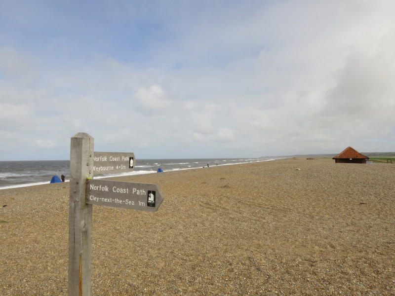
Walking on the shingle isn't particularly easy, notably today when it
was also rather windy.
At Salthouse Marshes, we come off the shingle and pass a pill box
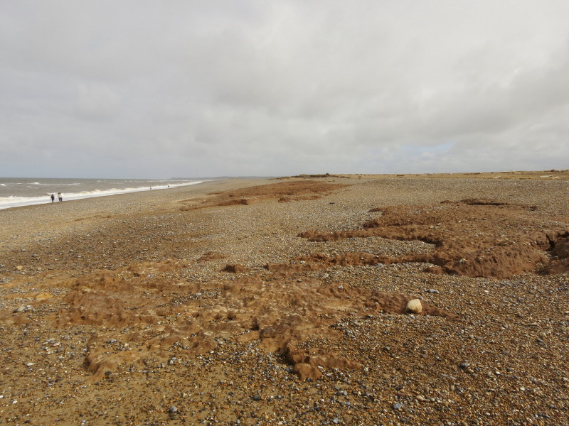
We still have a bit more shingle to cross, however - most of that
shingle wasn't there before December. The storm surge has pushed a lot
of shingle inland, and buried parts of the boundary fence which can be
seen having been reinstated.
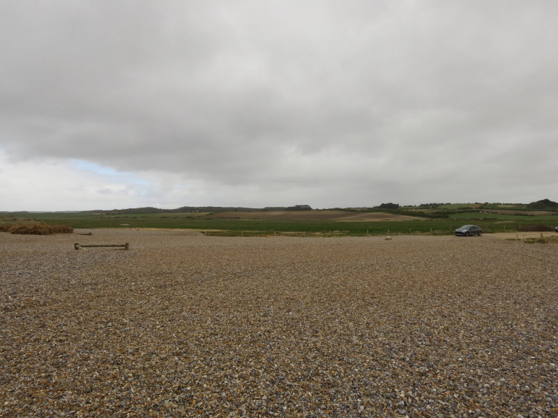
This is the remains of what was a car park until December, now
completely buried in shingle, together with a bit of the road leading to
it. The car is now as far as can be travelled. Today's walk was quite a
reminder of the power of the sea.
Total walk was 17.8 km in 4 hours 34 mins (making 16.2 km of
progress along the Norfolk Coast Path)
|