Norfolk Coast Path 5: Salthouse to Cromer
16 August 2014
Today was my last walk on this version of the Norfolk
Coast Path, completing the walk from Hunstanton, and the combined "Peddars
Way and Norfolk Coast Path" National Trail. Lucy was going to a
geocaching gettogether near Hunstanton, so was able to drop George and
me at Salthouse and later pick us up at Cromer.
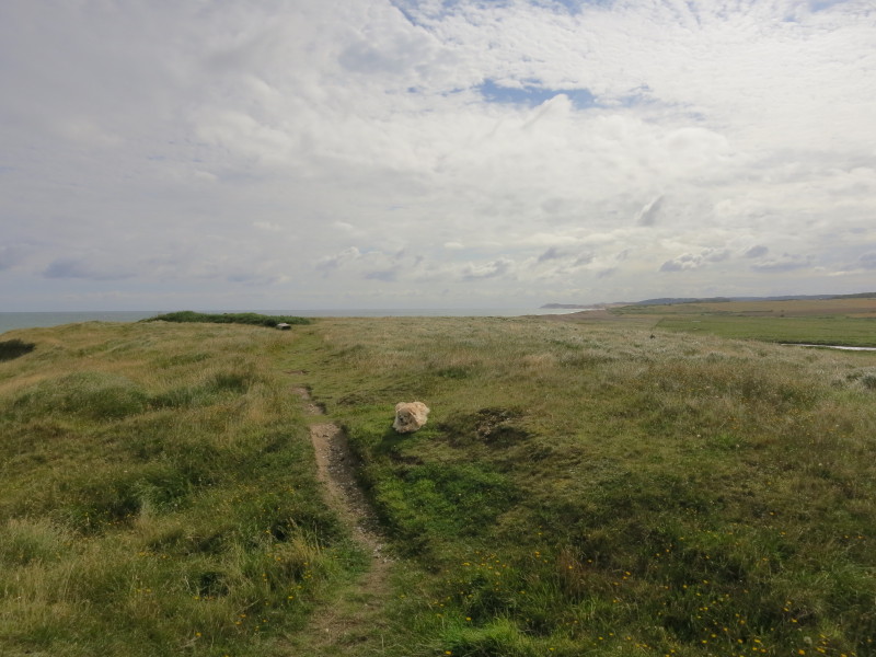
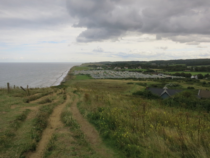
Having started on the shingle beach at Salthouse, we are glad to reach
the easier going of the grassy cliffs
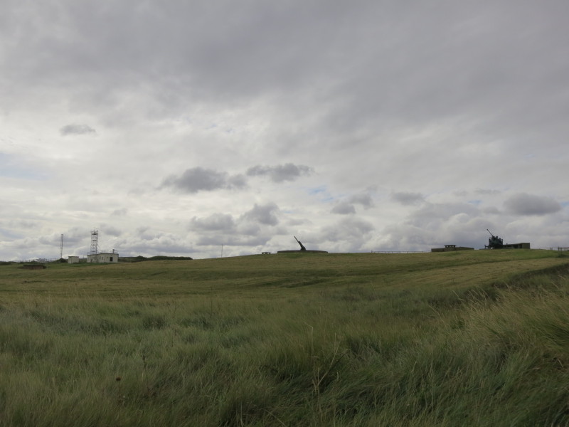
Old guns watch us go by at Weybourne Camp. During WWI this was an army
coastal defence base. It became an anti-aircraft artillery range (and a
highly secret site) during WWII, which, in combination with a
complementary camp at Stiffkey, represented the main live firing
training ranges for ACK-ACK Command. The site remained an anti-aircraft
artillery base until 1958 and the RAF still maintains a radar station
within the area.
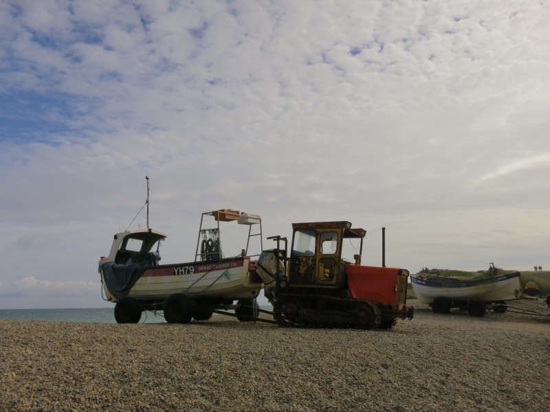
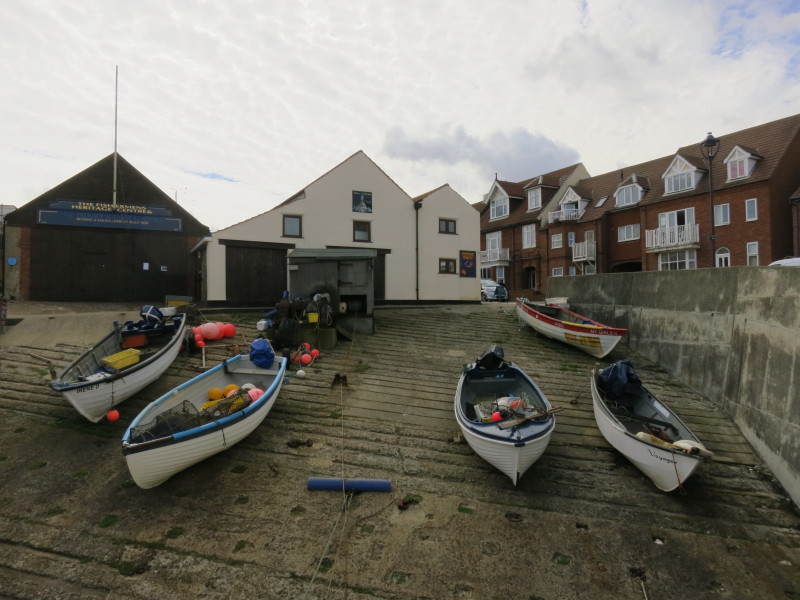
Boats on the beach at Weybourne
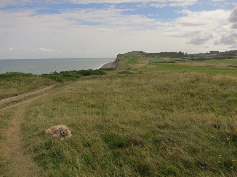
Then there was a little climb back onto more grassy cliffs as we head
towards Sheringham
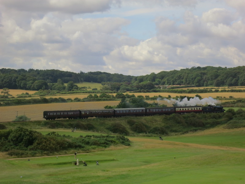
7820 Dinmore Manor pulls a train from Sheringham towards Holt. The
locomotive was built by British Railways in 1950 and withdrawn from
service in 1965. It was eventually restored, returning to service in
1995.
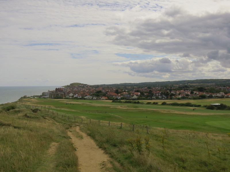
Approaching Sheringham
Leaving Sheringham, the current route of the Norfolk Coast Path turns
sharp right before that camp site, and takes a significant inland
diversion all the way to Cromer. But by the end of the year, the England
Coast Path will head straight on, and there was already a sign pointing
that way which, to my slight surprise, said "Norfolk Coast Path".
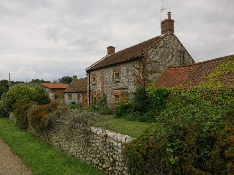
We crossed the railway and the main road, and then past Hall Farm here.
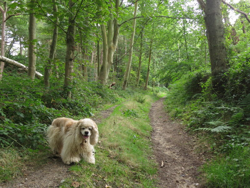
We entered woodland, gaining height to reach 102 metres above sea level
a mile from the shore on this "Coast Path". A pleasant walk, but not
very accurately described, and it will make sense to move the official
route of the Norfolk Coast Path National Trail to share the route of the
England Coast path which will be by the coast.
There was then a pleasant walk along tracks, increasingly busy around a
series of camp sites, before heading downhill into Cromer.
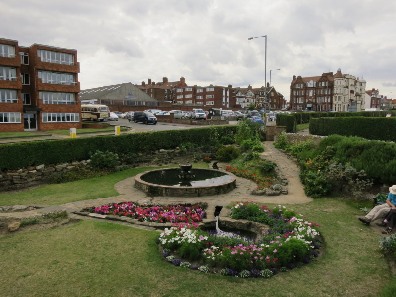
Gardens on the front at Cromer, rather reminiscent of those at the other
end in Hunstanton.
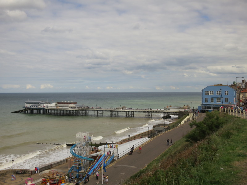
The pier at Cromer, and we are in sight of journey's end.
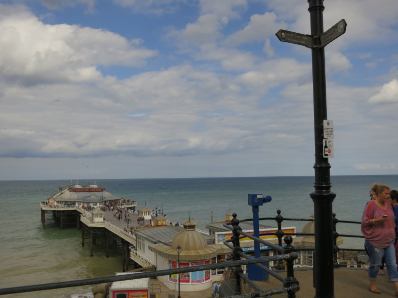
Here is the end of the Norfolk Coast Path. It's a busy spot - I wonder
how many people spot the signs high above their heads.
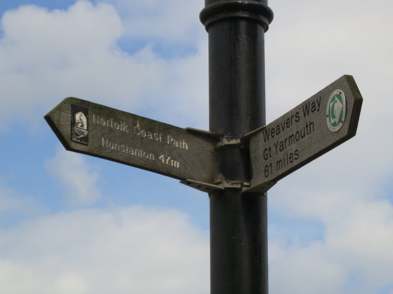
A closeup shows (for the moment) that it is 47 miles back to Hunstanton,
mirroring the sign showing 47 miles to Cromer that we saw in 2012, and
that the Weavers Way offers another challenge for another day. One day
before too long, there may be a third arm, with the England Coast Path
coming in from the east, and a different mileage to the west as the two
inland diversions will presumably disappear with the new England Coast
Path route to the west.
It's been a very beautiful walk from Hunstanton, thoroughly recommended,
and I look forward to returning one day to explore it in the opposite
direction once the new route is open, and the scars of the 2013/14
winter storms have somewhat healed.
Total walk today was 16.8 km in 4 hours 42 mins
|