North Downs Way:
Guildford to Dorking
28 June 2008
In a slight gamble, Stephen decided today to test
whether his foot had fully recovered from a strained ligament and go for
a longish walk on the North Downs Way, but on a route which did have
several "escape routes" in the form of nearby railway stations which
could be used if necessary.
A mildly cunning trick was employed with a Cheap Day
Return to Gomshall enabling with a single ticket the outward journey to
be taken to Guildford and the return from Dorking.
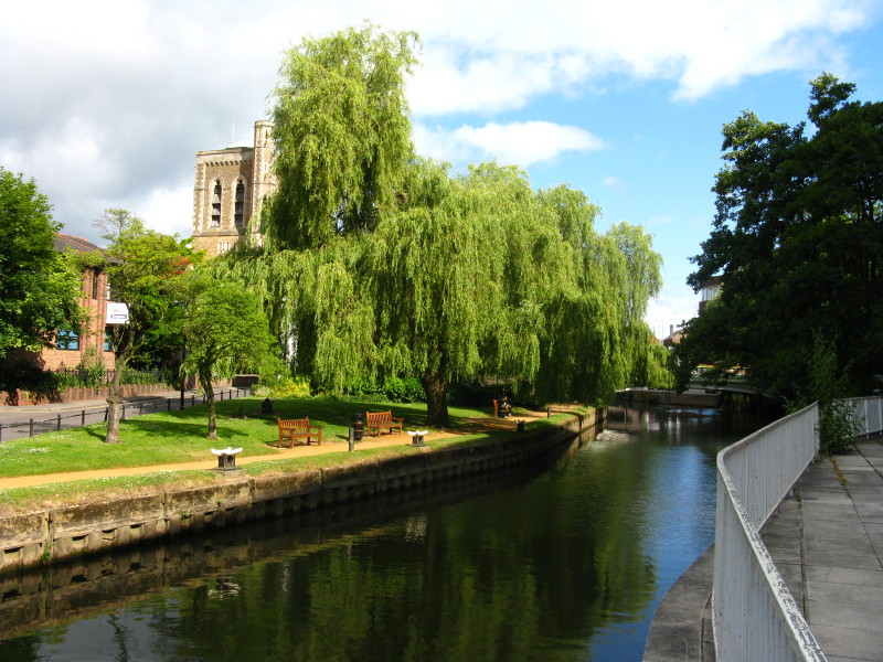
A short distance from Guildford railway station, en route to the North Downs
Way, and although I don't know it we've already gone wrong - we should be on the
other bank, but it's a pleasant view from here.
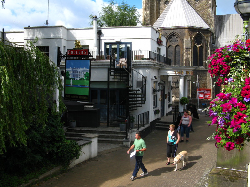
Back on the left bank, and a quick look at Guildford's answer to the more famous
White House
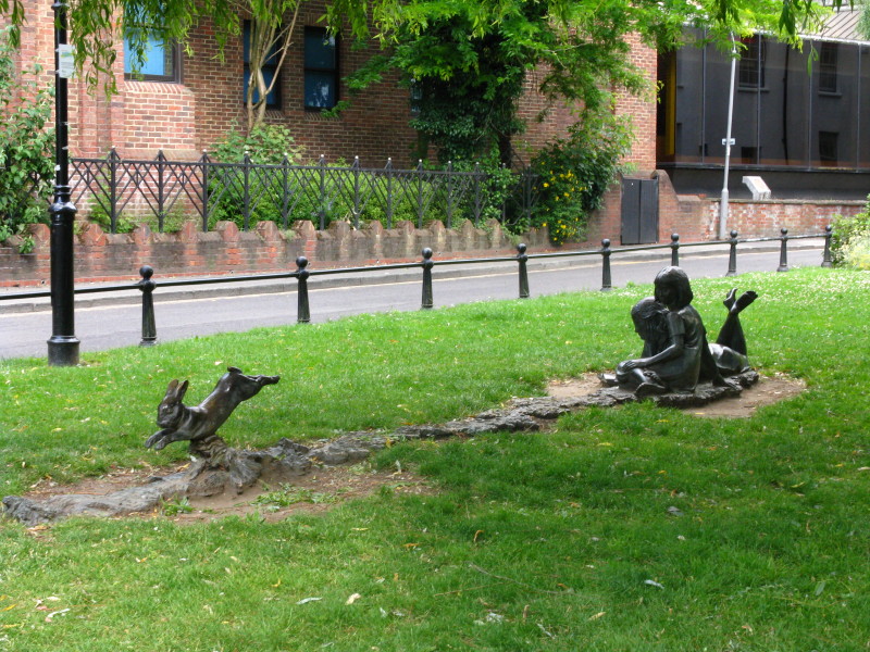
An unusual sculpture
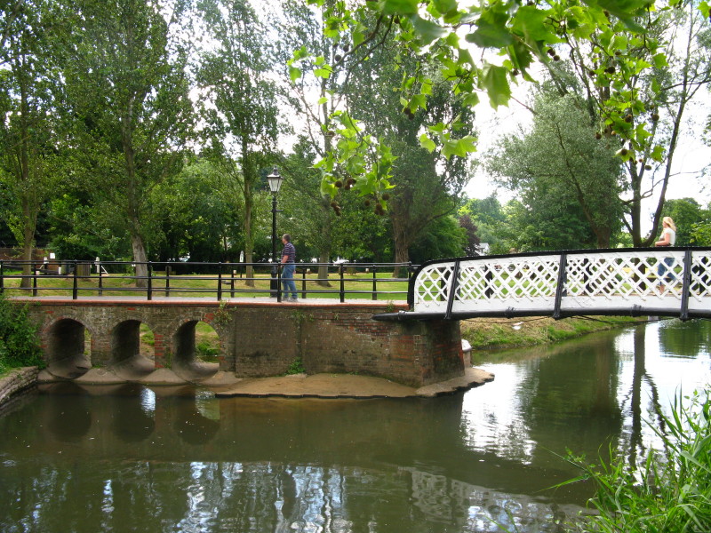
A bridge with interesting overflow arches takes us across the River Wey onto the
lock island
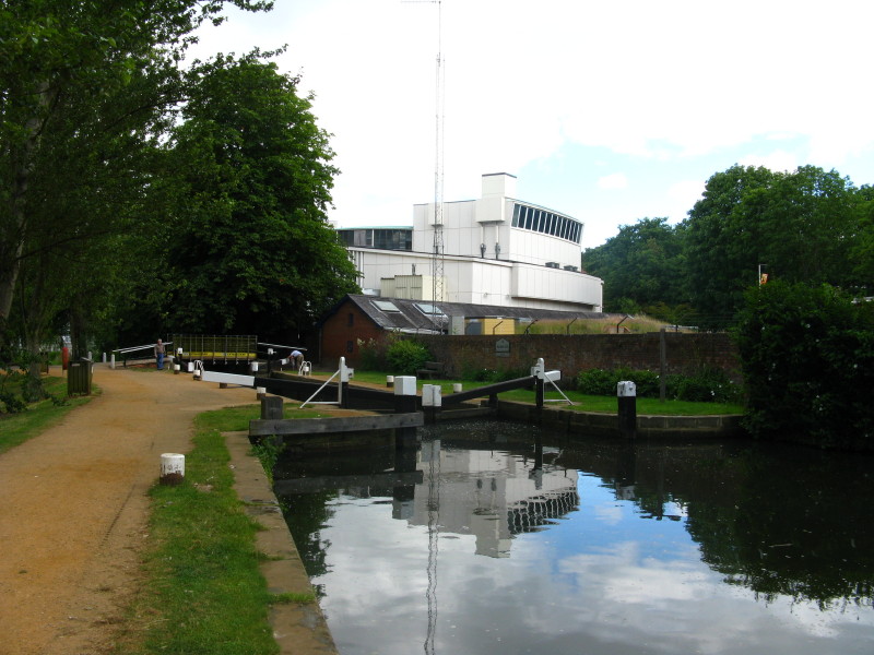
A lock on the River Wey Navigation
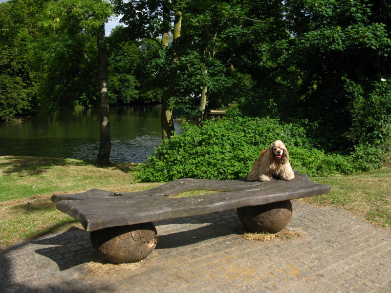
George on an unusual seat
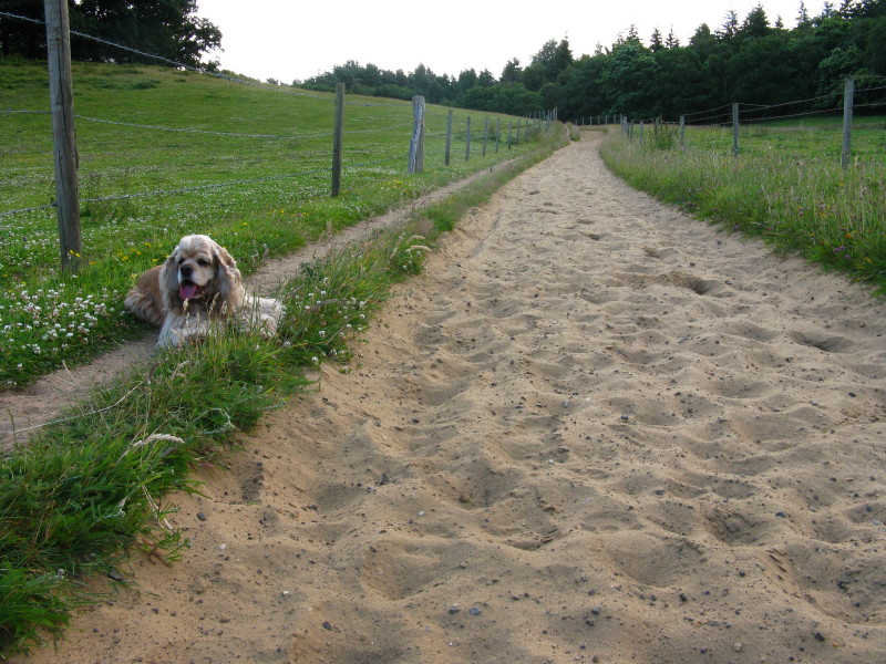
Now on the North Downs Way, we continue with the extremely sandy path that we
left west of Guildford. It wasn't just sandy soil but close to pure sand with a
bit of grit, and very hard to walk on, hence the side path that George is lying
on.
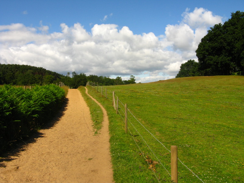
More of the sandy path
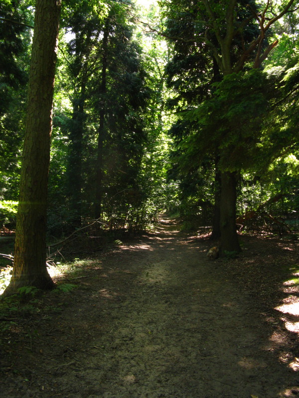
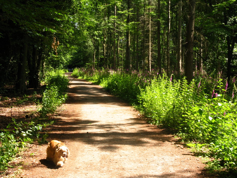
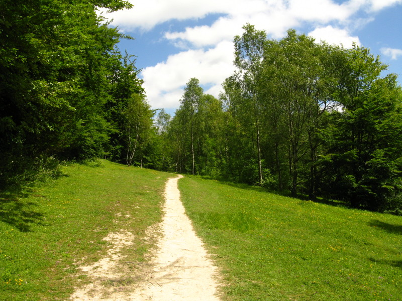
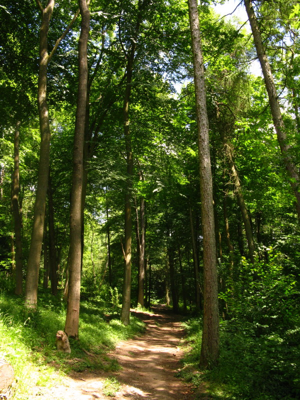
Today's walk had a lot of woodland, but quite varied in nature
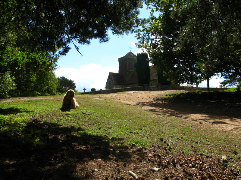
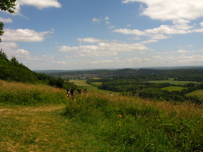
We emerge from the gentle climb through woods to find ourselves on the top of St
Martha's Hill with its eponymous church
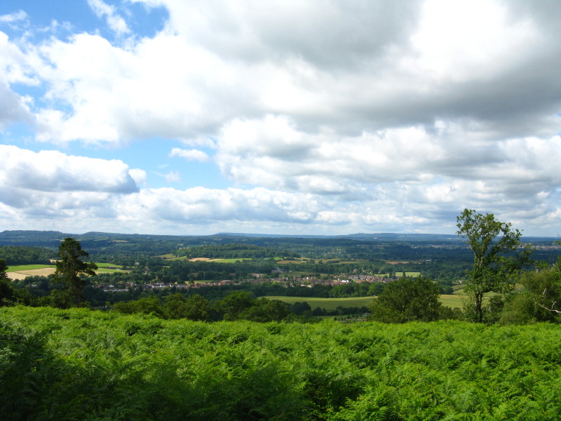
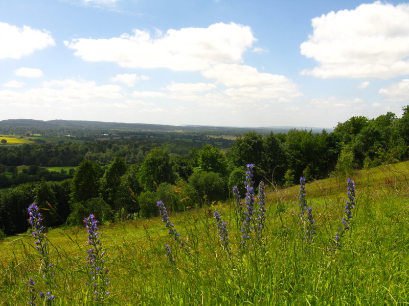
The view from St Martha's stretches a long way
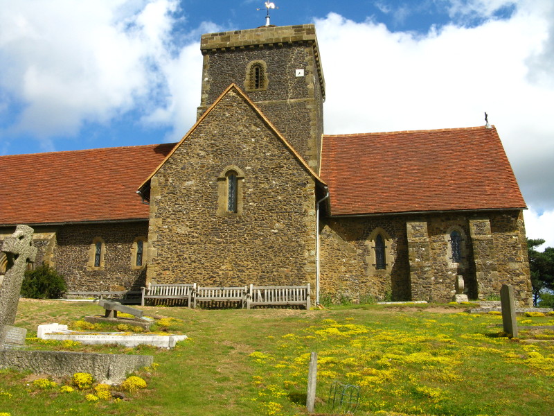
The church dates from the 12th century, though megalithic and neolithic
artefacts dating from 1500BC have been found on the site
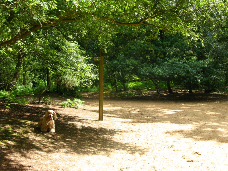
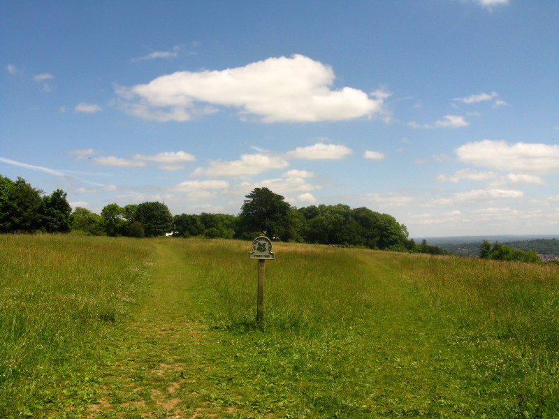
George waits by the signpost as we descend from St Martha's Hill
We have crossed from the greensand ridge of St Martha's Hill and returned to the
North Downs proper
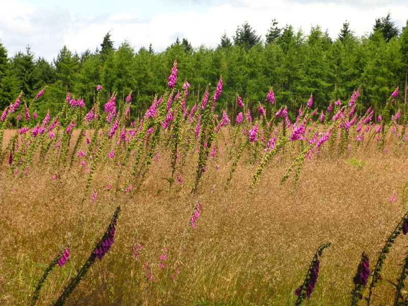
A feature of today's walk was lots of foxgloves in and around the woodland,
these being on the edge of Clandon Downs
Here we make our way through Netley Park
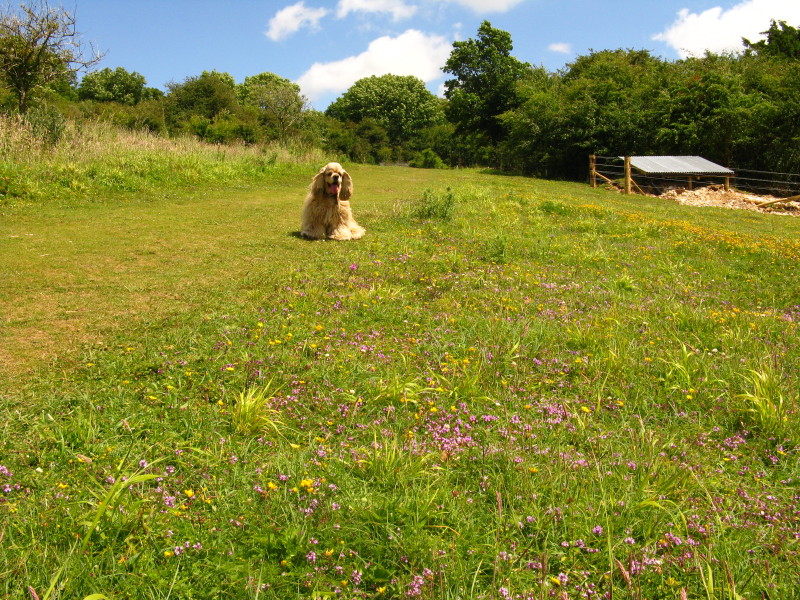
A lovely carpet of flowers on Hackhurst Downs
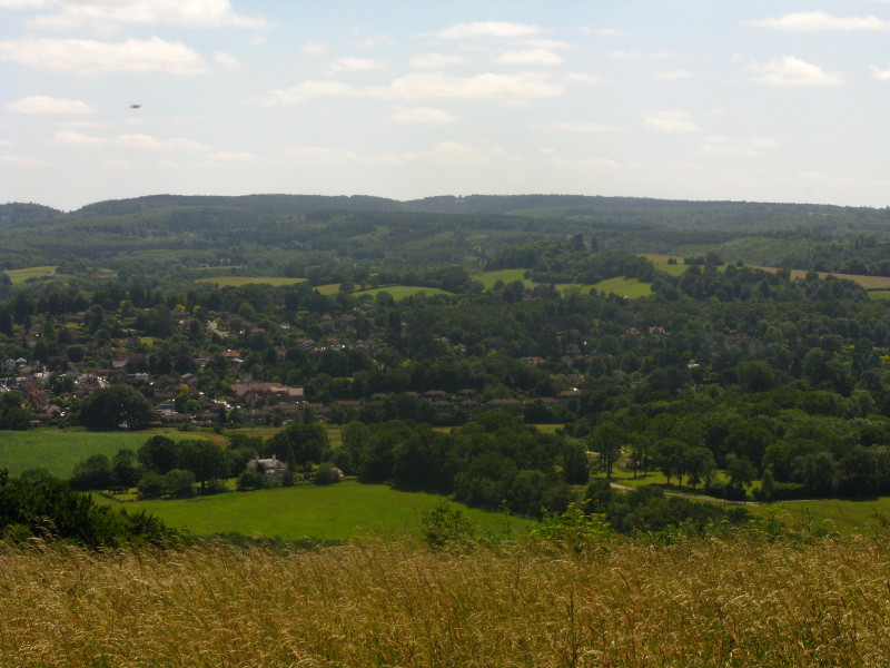
Looking back from the edge of Dunley Wood
After crossing another minor lane, we enter White Downs
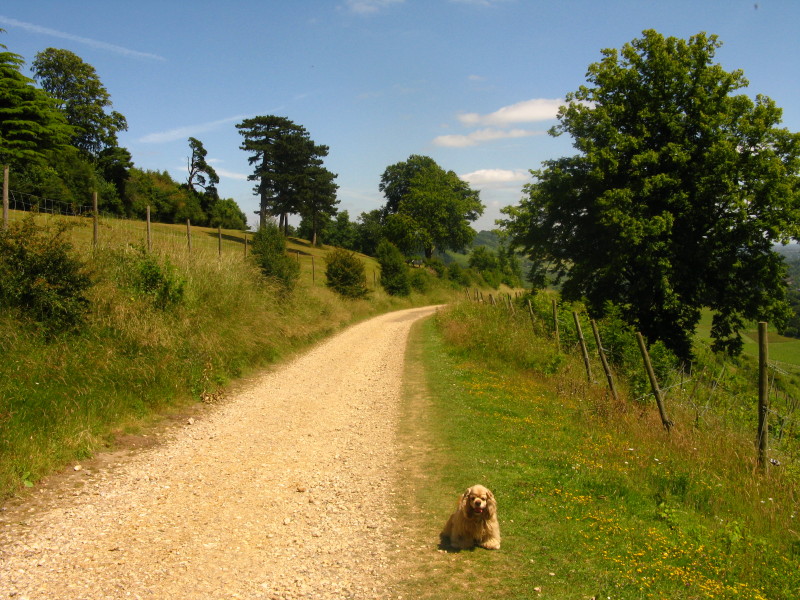
George rests above Pickett's Hole
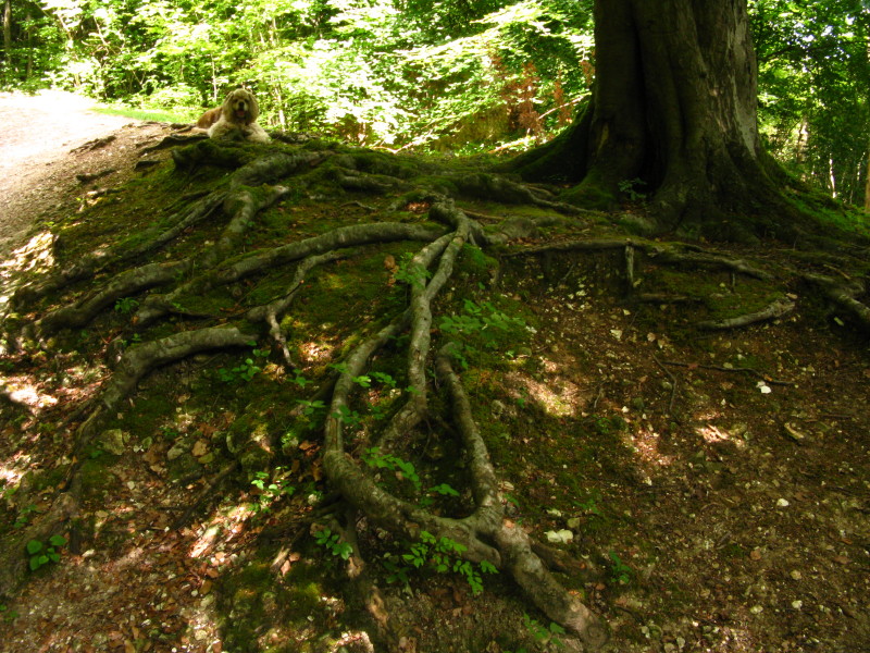
George looks small in the woods of Great Copse
As Dorking comes into view, a group of people were trying unsuccessfully to fly
a kite. They were missing the crucial ingredient - wind.
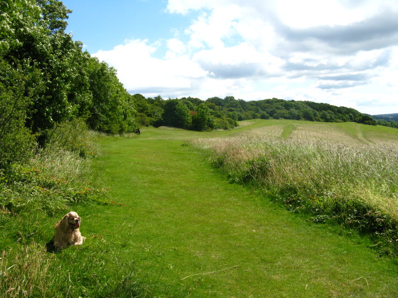
We then make our way across Steer's Field
From Steer's Field, looking south to Leith Hill - Leith Hill Tower can just be
seen in the centre of the horizon.
After this there was a very small kissing gate, which some teens with rollmats
slung below their rucksacks were having trouble negotiating - why are kissing
gates made so small? Do they not think that a significant proportion of the
people using them are wearing rucksacks? Highways departments are setting out to
spend large sums on replacing stiles with kissing gates, and replacing one
fence-crossing that is difficult to negotiate with another that is difficult to
negotiate.
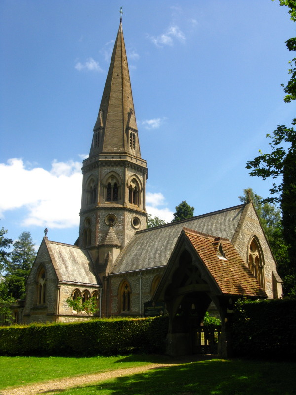
The church of St Barnabas on Ranmore Common
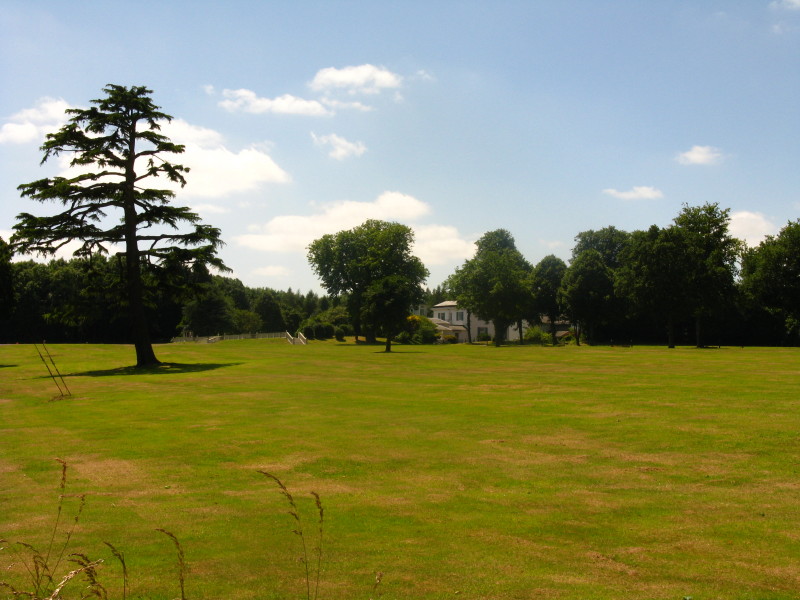
Denbies House among trees.
We now begin a long, gentle, winding descent from the North Downs into the
valley of the River Mole
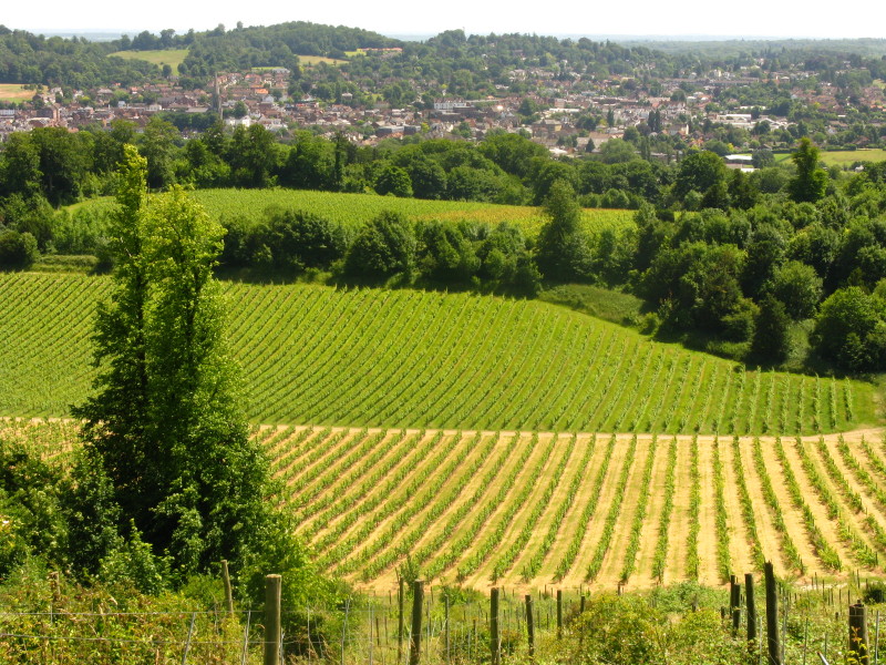
Denbies vineyard, the largest vineyard in England, with Dorking beyond
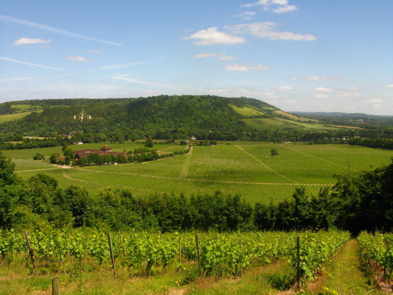
More of the vineyard, with Box Hill beyond. In the valley is the A24, which we
followed into Dorking for the train back to London.
A glorious walk, with wonderful scenery, lots of varied woodland, lots of wild
flowers, and great weather.
Total distance on the GPS was 23.4 km (20.4 km on the Way) with 400 m ascent, in
5 hours
11 minutes - that means that
about 78% of the
North Downs Way is now walked.
 

|