Saxon Shore Way: Hastings to Winchelsea
24 March 2012
After visiting a relative nearby, Lucy dropped
George, Ellie and Stephen off in Hastings for a walk while she took
Hetty and Lottie on to a rally trial in Bexhill. Today's choice for the
walk could easily have been the South Downs Way, heading westwards, but
Stephen prefers to walk eastwards so chose the Saxon Shore Way, which
runs from Hastings to Gravesend, broadly following the line of the coast
as it was about 1500 years ago.
Stephen had
previously walked part of the Saxon Shore
Way in 2009, when it was walked incidentally as it coincides with the
North Downs way for about 23 km from Sandling to Dover.

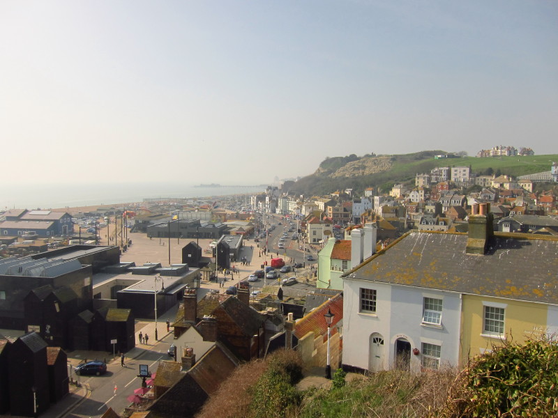
Some of the fishing net sheds at Hastings, as I walk the dogs backwards
and forwards along the busy pavement, looking for our escape from the
crowds on the sea-front. With temperatures on this March day around 20°
(and breaking records in Aberdeenshire), the summer feeling had arrived,
and with it the people. We just wanted a bit of quiet and space.
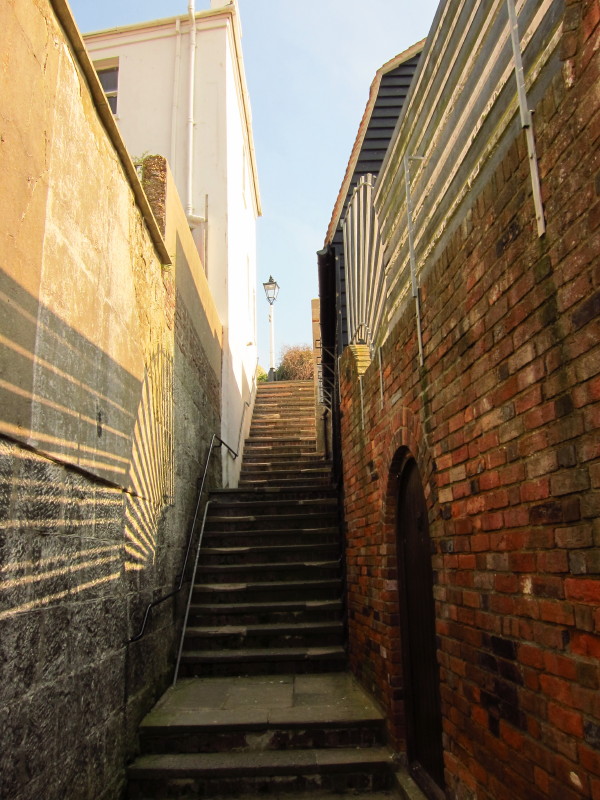
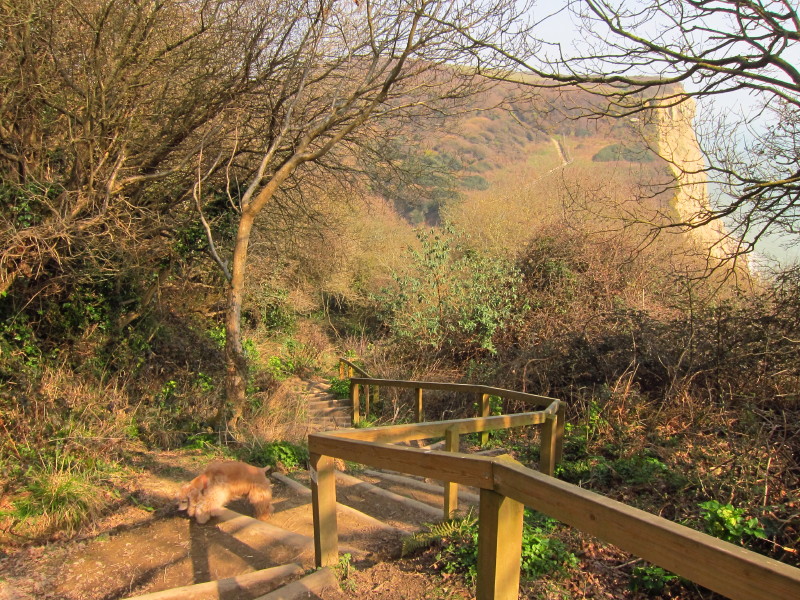
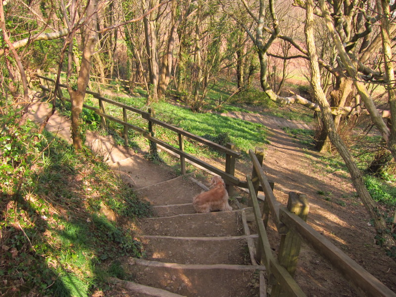
We found it up the an alley which had quite a few stairs
The alley took us out onto a road by that lamp-post (also in the
previous photo), from where more stairs took us further up the cliffs
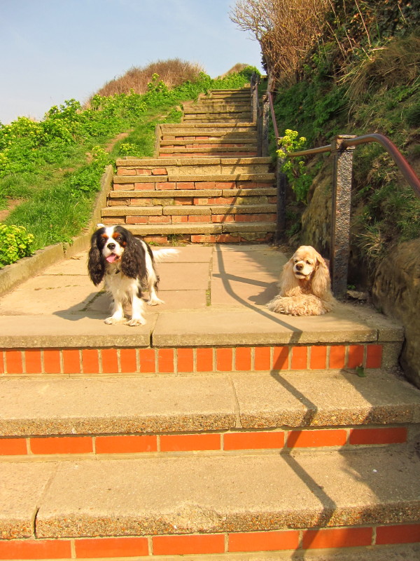
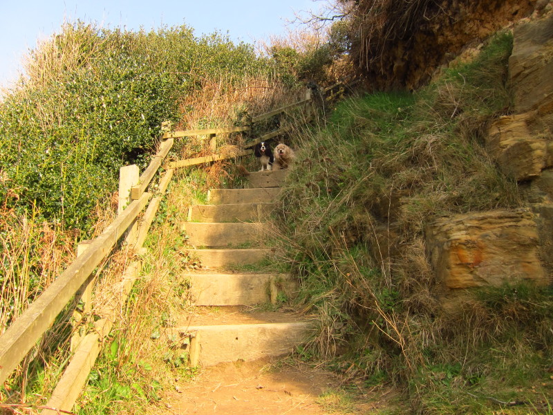
The dogs pausing on the stairs, glad to be away from all those people
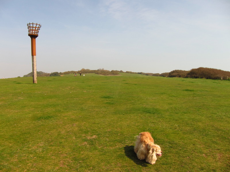
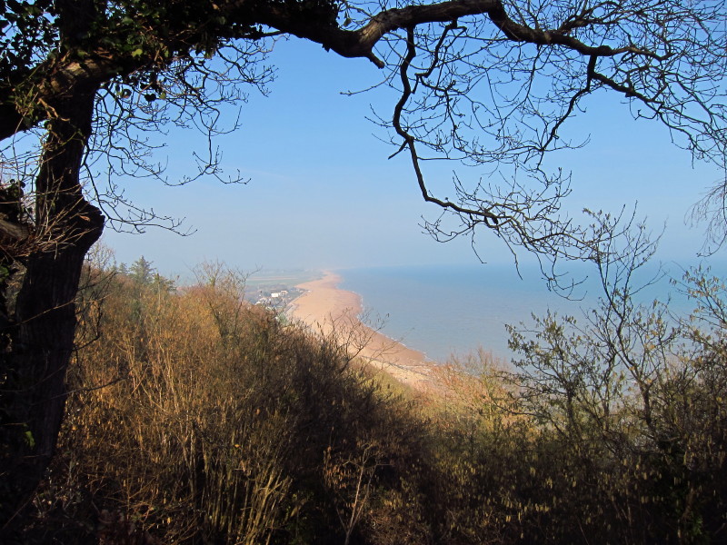
Finally we reach the top of the cliffs
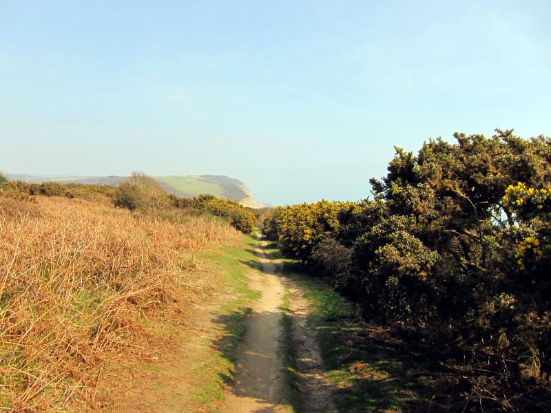
The first half of today's walk was a typical southern England cliff-top
walk, and good practice for my South West Coast Path walk in a couple of
weeks.
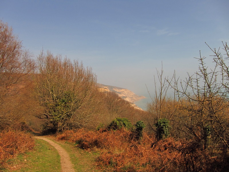
And a typical cliff walk means a fair bit of down into valleys - and up
again. The "up" path can just be seen on the far side
The dogs as we regain height
Gently heading down once more. It was a lovely warm day, perhaps a
little too warm for walking, and a little hazy too, but still very
pleasant.
After more up, it is time to do down again. George shows the way.
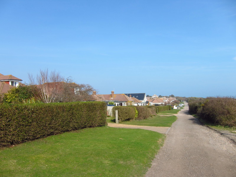
The start of the walk through the holiday village of Fairlight Cove
Almost finished with Fairlight Cove, and it is time to return to the
cliff-tops
On the cliffs between Fairlight Cove and Cliff End. The latter is well
named, and ahead is a lot of low-lying land.
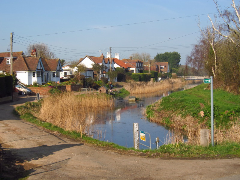
Also at Cliff End is the start of the Royal Military Canal. Here the
character of the walk changes completely, and we leave behind the cliffs
and the modern coast, and turn inland, close to the ancient coast
The Royal Military Canal was built as part of measures against invasion
by Napoleon, probably somewhat naively as it wouldn't have acted as a
particularly formidable obstacle, but fortunately never had to be used
as such. It was reinforced against Nazi invasion, but was never used
then either.

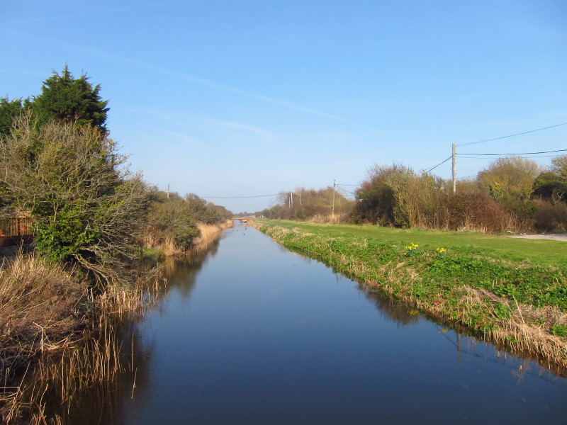
As we head inland, on the right of picture is the modern sea wall, and
the rest of the picture is part of Romney Marsh, about 100 square miles
of reclaimed land, dotted with sheep.
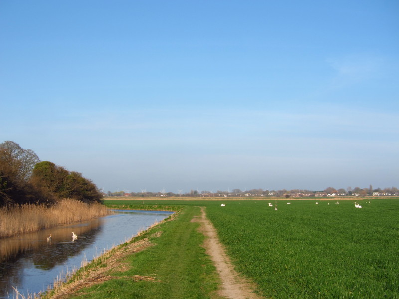
We made very quick progress along the flat canalside path. Two swans are
in the canal, the rest are in the crops, something I've not seen before
and looking rather odd. As we neared Winchelsea, Lucy arrived in the car
and walked back down the canalside with Hetty and Lottie to meet us.
Zoom in for more detail, or see map in larger window: Ordnance Survey |
Open Street Map |
Google Maps
Total distance 13.8 km and 387 metres of ascent in 3 hours 51 mins. A very
pleasant walk of two contrasting natures.
|