Angles Way 8: Earsham to Beccles
31 March 2012
With Lucy in Manchester for the weekend, I decided it was time for another
Saturday Angles Way walk. Although the bus was an option, I decided to use the
bike, so drove to Beccles where I parked the car, then took National Cycle Route
30 to Earsham where I left the bike, and then walked back to Beccles, returning
later in the car for the Bike. This walk leaves three stages left in the way
I've divided up the walk, all feasible to do by use of the train, which means I
will be able more reliably to be accompanied by a dog for the remainder of the
walk. Today, after returning home I took three of the dogs (Ellie is in season)
out for a nice forty minutes in the Kings Forest.
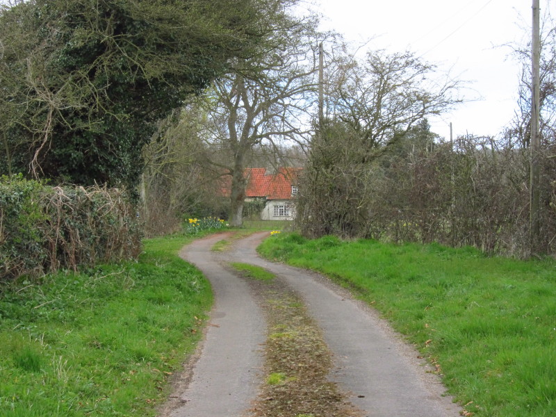
A quiet road leads away from Earsham
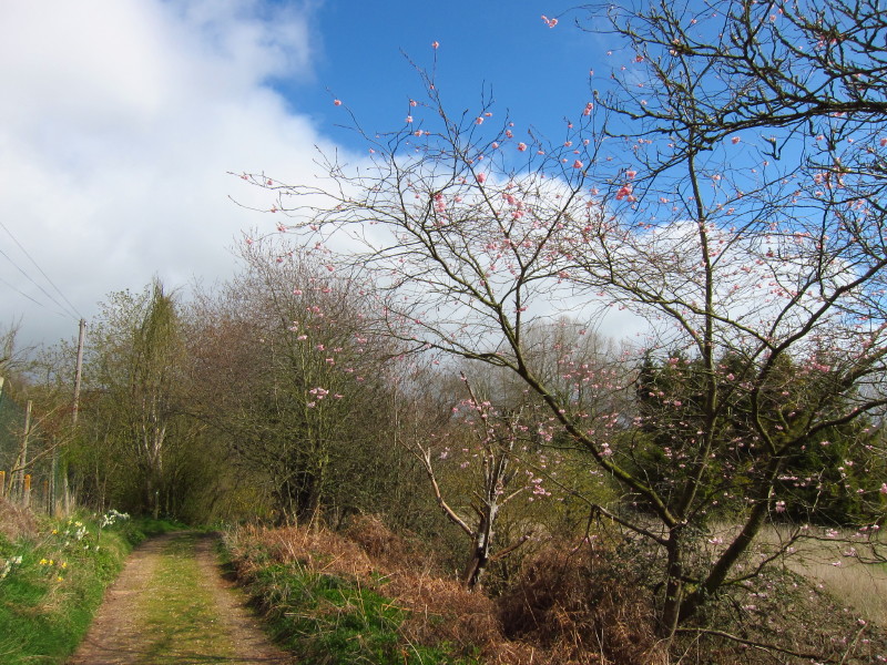
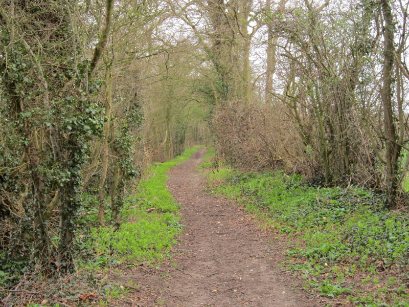
A quiet section of road walking alongside a quarry leads to a more attractive
bridleway where Spring is in the air. The path forms the boundary of The Broads,
so everything to the right is within the pseudo-National Park.
As I gain height, this is the first look at the River Waveney of the day.
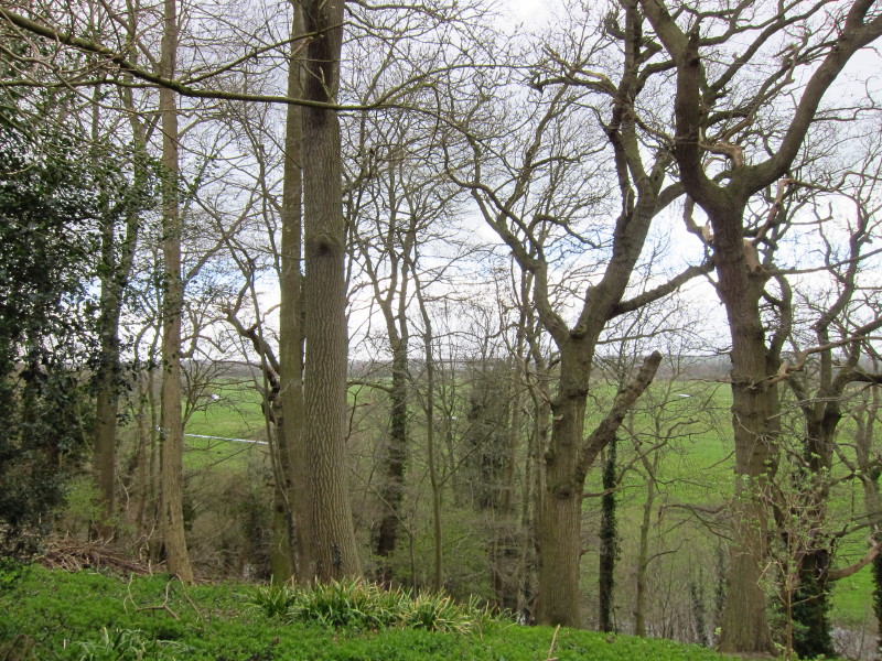
There was a pleasant high-level walk around the top of the escarpment above the
Waveney, which is out of sight at the bottom of the slope.
After a long dalliance with the boundary of The Broads, I finally cross into the
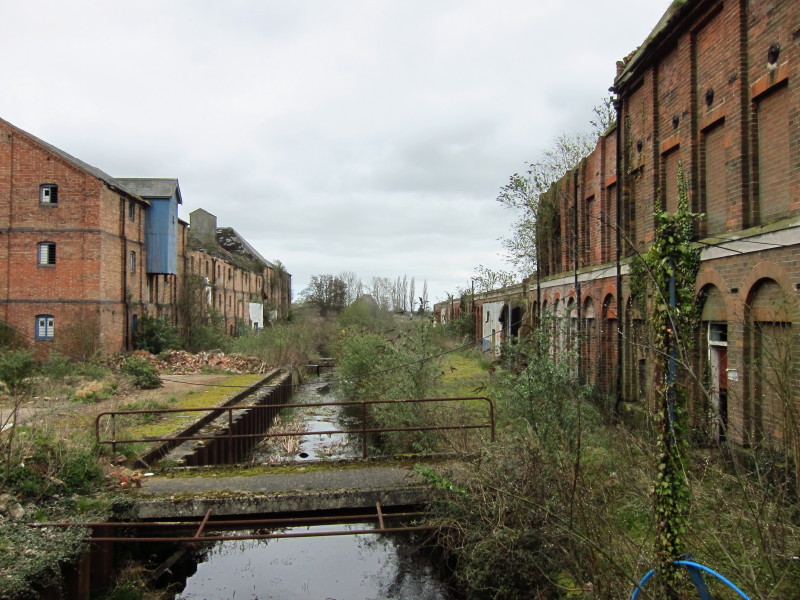
area proper, and what greets me are the sad remains of Ditchingham Maltings
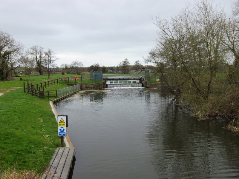
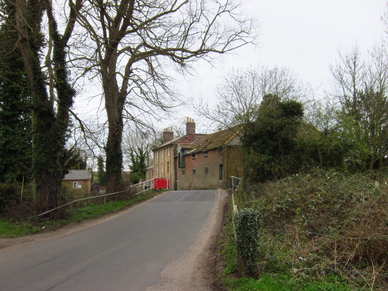
A bit further on at Wainford Sluice I cross the River Waveney for the eighth and
final time on the Angles Way (though I anticipate crossing it on link walks at
St Olaves on my way to/from Haddiscoe Station)
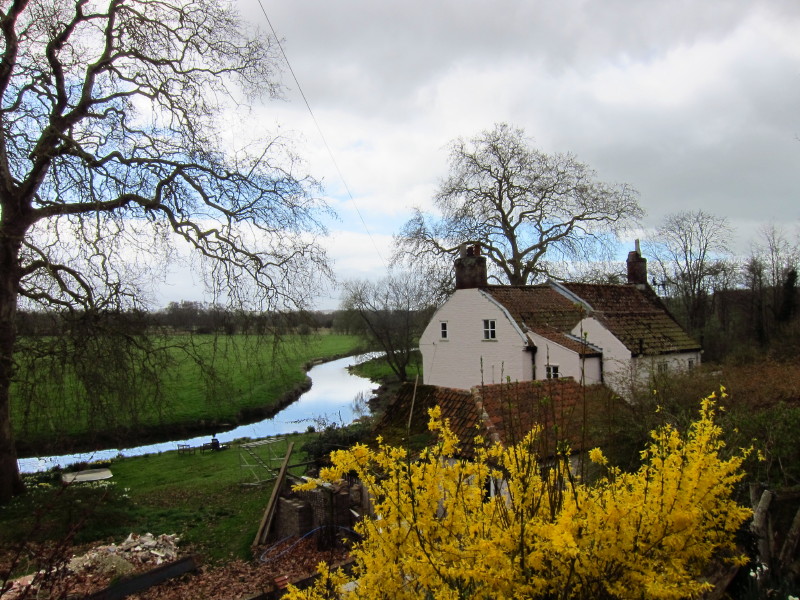
Buildings near the modern Wainford Maltings
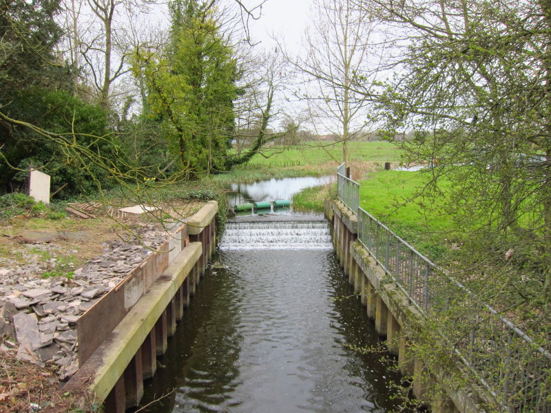
What is presumably the remains of Wainford lock
Having climbed out of the flood plain of the Waveney and out of The Broads,
field paths take me to this pleasant and presumably ancient path, signed as a
"concessionary path" - it looks very much as though it should be a public right
of way
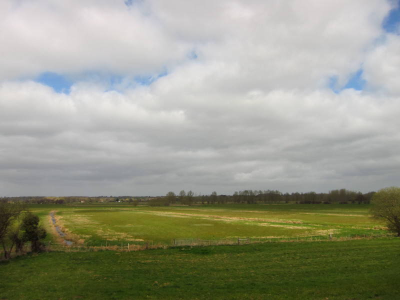
After a road walk, then around field margins, then a bit more road walking, I
return to The Broads and pleasant fields and a view over the flood plain of the
Waveney
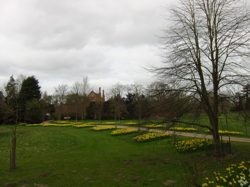
A long pleasant track across the flood plain eventually brings me back to the
road at Roos Hall, built in the late 16th century and said to be among the most
haunted buildings in England. It signals the beginning of Beccles.
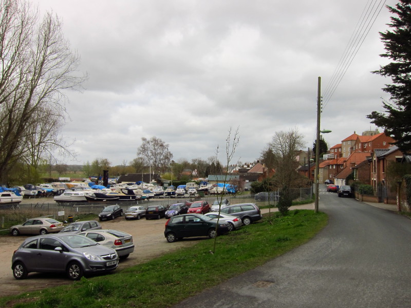
After many miles of river, suddenly there are boats, albeit all on land from
this angle.
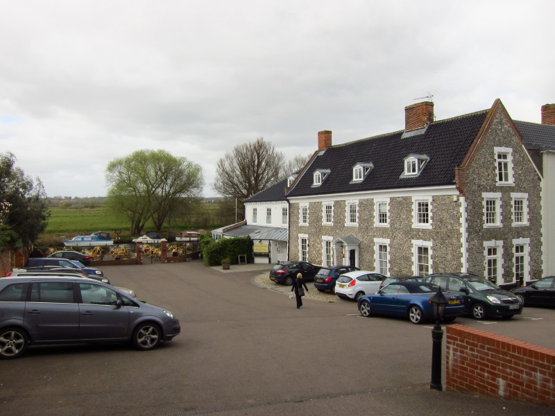
Beccles is a strange town in one way, lining the river but with only private
riverside access for most of the way. Here the car park of a hotel provides a
glimpse down to boats on the river.
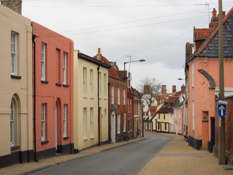
Walking through the pleasant town
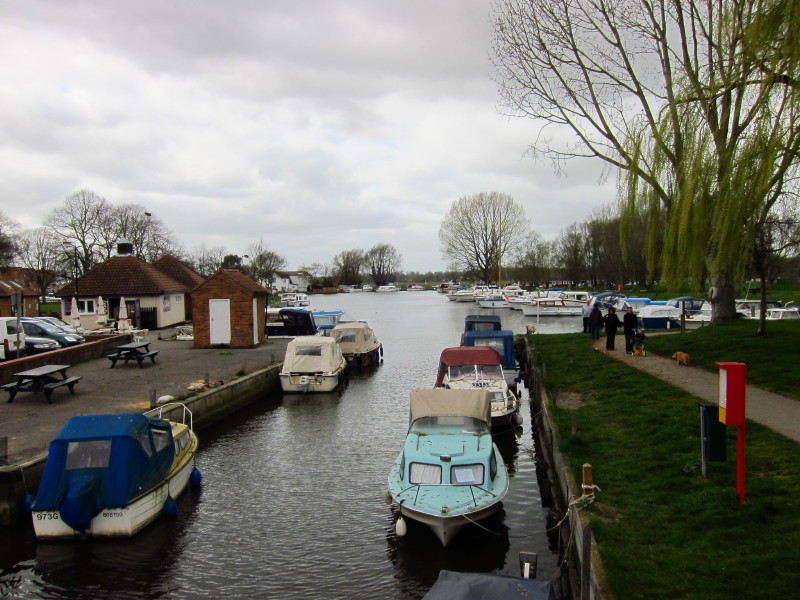
Finally reaching a more open scene. I sat at the little cafe on the left and had
a chocolate muffin before going to the car in the car park behind me in this
photo. A lovely walk, and the end setting the scene for the next section to
Oulton Broad which will be very different, firmly within The Broads and almost
all of it being next to the river. I suspect that when the Angles Way was voted
the best waterside walk in 2003, it was the section from here on that voters had
in mind, because although I've broadly followed the Little Ouse and the River
Waveney, it has mostly been a question of crossing them from time to time rather
than walking beside them for any length of time. But that is about to change for
section 7 (and part of section 9).
Total walk was 17.7 km in 3 hours 40 mins.


|